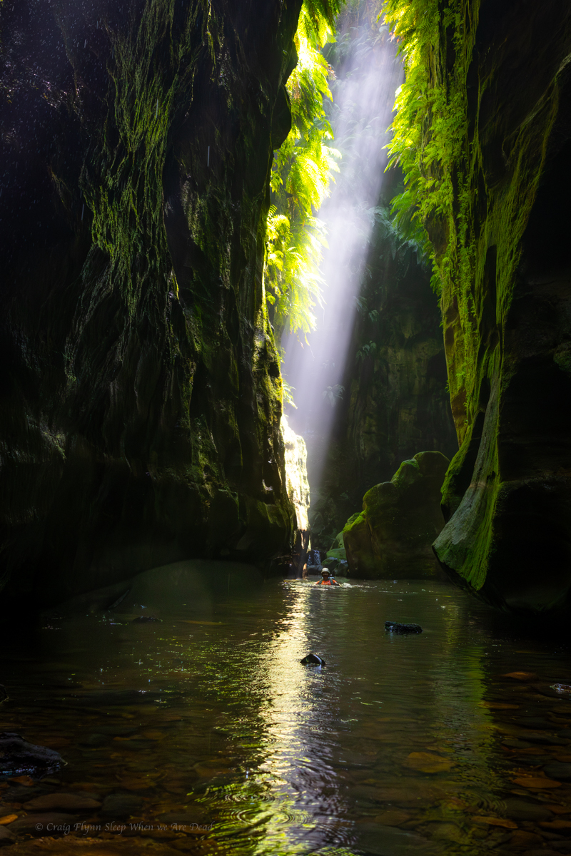
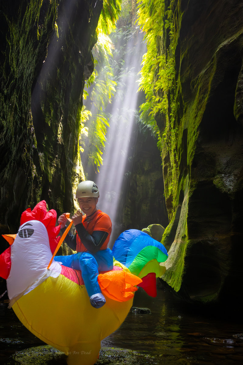
Rocky Creek is still one of my favourite canyons. Sure it hasn’t got the techincal challenges but..
It’s 1992 I had no idea what canyoning was but my little bro has been doing a bit. He keeps raving about Rocky Creek and finally convinces us to join him.
I still remember standing here and hearing the water plummet into the cleft below. In my mind it the water was higher but it was a hot new years day so I doubt it.
I still remember being in awe of those who first ventured into the slot not knowing what was awaiting them inside.
Little did I know they were looking to deep dark abseils.
They didn’t find any but they find a stunning, sustained slot.
Everytime I stand here that sense of awe comes flooding back.
A weekend at Wombeyan Caves Karst Reserves is always pleasant. This week end I headed in with the Fam for a relaxed couple of days chilling out.
Onthe Saturday we did the self guided tour through FigTree cave and a guided tour of the Wollendilli Cave. Of course I had to visit Mares Forest Creek while there.
Great Uncle George canyon fell out of favour for a bit.
A change of land ownership saw the start of the Ingar fire trail locked up but also restricted access for canyoners to the quickest way in.
The alternate route in was a scrub bash that made an average quality canyon barely worth the effort.
But then top bloke and local legend, Blue Philips stepped up to the plate, contacted the owner and, convinced the him to trial allowing canyoners access across his land.
The conditions are explained by Blue
“ Permission this time from the owner (now sometime resident), Warren, stipulation is: keep as far left as you can, away from the house/environs, once you walk around the locked gate/fence, head down near the two abandoned caravans to the lower gate, close it behind you, locate first abseil (slings on tree), and off you go. We’re effectively ‘on trial’, so as long as no-one’s a flog and spoils our access privileges, GUG is back on, via the easiest and simplest ingress route. If you see someone else acting suspiciously, call them out, the owner has endured a lot of negative stuff over the years; bushrock theft, building material theft, motorcycle hoons hooning, fires, drugs, you name it. Us canyoners need to be as pure as the driven snow:-)”
Anyhoo we thought why not take advantage of Blues hard work.
Retracing the entry I’d used years ago with Julie and the Cooks, it took no time to get to the start.
And before long we were at the exit point that cuts back up to the Areoplane Hills picnic area.
We stop for lunch then scramble up onto the ridge. From there it’s an easy stroll up the ridge, made easier from a hazard reduction burn earlier in the year that has cleared out the scrub
GUG might not be the most exiting canyon but finding a patch of wilderness close to suburbia has a vibe all of its own.
When Surveyor General Mitchell was making his map of NSW he asked his surveyors to, where possible, use the traditional place names.
(When he wasn’t naming stuff after Macquarie, that is)
His map had the northern branch of this creek system marked as Bungleboori Creek. Clew’s 1930’s Military Survey had the branchs labled “Bungleboori 9 mile” and “Bungleboori 12 mile”. They later became known as Bungleboori North and Bungleboori South.
This suggests it was a mistake when the Geograffic Naming Board renamed the Northern Branch to the rather less evocative “Dingo” Creek.
While tame camp dogs were called Dinggu by the Dharug people of the upper mountains, and thats where we get the term Dingo, wild dogs would have been more commonly called Warragal by the Dharug and Wiradjuri.
The Gundungurra may have used that term too. So why Dingo Creek?
Anyhoo that is nether here nor there as we are headed for the southern branch, now officially “The” Bungleboori creek.
This was a very last mintue decision. After a couple of hectic weeks we opted for (what we thought woud be) a slightly less committing trip.
I hadn’t done Arthurs before, nor Hailstorm Retreat for that matter, and Kylie hadn’t done many canyons in this section of the Bungleboori at all.
We had a quick puruse the the maps the night before and decided that was the plan.
the bright eyed anticipation of adventure
The road out to Waratah ridge is rough as guts at the moment. It’s the roughest I’ve seen it since the 2002 fires. If you are heading out that way a car with high clearance is recommended.
the wild flowers though…
We head up the usual track but soon spear off on a side trail.
I was expecting an old 4WD trail out to views and this matched my expectation though the trail looked more well used than I thought it would be.
And there I was blindly following the trail down into a gully when Kylie called, Hey this isn’t right. We should still be on a ridge.
She has an uncanny ability to map out a route and picture it in her head.
We stop to look at the map. This was our first time using lidar overlays, courtesy of Rob’s Maps, they are an awesome tool. Thanks Rob H for creating such a wonderful resource.
Yep! we shoud be on the ridge and, if anything, dropping off the other side. We debate heading back up the trail or dive off and traverse across.
If we traverse the topoline aroud the top of that gully it’s only 150m across and half the elevation. Argue I.
Gadget reluctantly agrees, loath to dive into the scrub this early on what is sure to be a scrub bash.
But I’m the the scrub master, usually. Little did I know.
Back on course we follow the ridge until near the end then opted to descend a creek line. I’d read the gully wasn’t too bad….
Let’s just say we should have got out of the creek line early and looked for a nose. The scrub along the creek was horrendous. Anyone who has been on one of my infamous scrubbashes knows that’s a big call.
It was a relief when we popped out of the bushes onto a very pretty section of Paddys…. I mean the Bungleboori.
then, steadfastly avoiding anything that slightly resembled a creek line, we pop up the nose on the other side and with a couple of short scrambles break the first major cliff line suprisingly easily. We traverse down to cross a creek line then, again easily up the nose to break through the upper cliff even easier. Its rare I find the up 10x easier than the down whch just goes to show how bad the scrub in the creek was.
We are now at the base of the Mini Arthurs.
We have a decision. Gadget had mapped out a route that skirted around the outcrops and dropped into the creek closer to where Arthurs was meant to drop into a canyon however that meant missing weaving through the maze of the Arthurs themselves and potentially missing the upper section.
We weave up through the Arthurs and into another scrubby creek.
This one isn’t as scrubby as the previous (yet) and we soon reach a scramble into a very tight slot. Its jammed full of sticks but I clear them out as I work my way in. 1 very tight squeeze and it opens back up. Just downstream it drops into another short squeeze to what looks to be an abseil but this is so jammed full of debris we were forced to retreat up and around the next side gully.
And here’s where the scrub decided to step up a notch or ten.
On a scale of 1 to 10 how bad was it?
to use a 30 year old meme
Holy cutty spikie grabby shit fight batman.
At times I couldn’t even tell if we were in the creek or on the bank or what. Even heading up the slope onto what should have been a spur between two creek lines offered no relief.
Finally we came to a spot where the creek bagan to drop through boulders. and a slot of sorts openned before us.
It’s not much to look at so far.
but just downstream we are surprised
The creek twists down through a pretty waterfall into a stunning chamber.
With care the pools could be avoided but by this stage Kylie had no cares left to give and opted to frolick in all of them with reckless abandon.
And just like that it opens up.
Kylie didn’t agree with me but I did say if that canyon section was in the middle of Claustral it would be the nicest 20metres of Claustral. Maybe the 5hrs of dense scrub bashing had me delusional but certainly not delutional enough to ever want to come back. Arthurs is defiately a oncer.
OK, “best bit of Claustral” is probaby a stretch. Maybe Grand. If it was in the middle of Grand it would be the best 20 meters of Grand.
But we still had more dense scrub to bash through down to the junction with the ‘Boori. then a further engery zapping boulder hop down to where we would camp for the night.
We got the tarp set up just as the storm hit. And hit it did.
As my mate Russ would say it pissed it down.
Interestingly the creek didn’t rise that much with the storm but come morning we watched it rise about 50mm in 20min while we ate breakfast. The lag effects of water running down tributaries and soaking through the ground was cool to see.
We were pretty beat up from the previous day (and hadn’t done any big trips recently so a little off our canyoning game fitness) The temperture had also dropped over night, I think we had forgotten how cold the ground stayed at this time of year and only bringing our summer kit was optimistic. So we opted to have a lazy start then exit out rather than forging through another day and camping again.
From our camp down to our exit the Bungleboori was much more forgiving. Boulder scrambles were mostly avoided with easy walking on the banks and the couple of deep wades actually felt good as the water took the load of our packs.
Smiling again. for now
and then it was up.
Steeply up.
Scrubby up.
And into Hailstorm retreat.
Doesn’t look like much to start but its a pleasant slot that carves all the way to the top of the upper cliff line.
And from there its a relatively easy stroll over the tops to the Waratah ridge track and the monotonous trudge back along the fire trail.
While we got our mountain, waterfall and Onsen fix along the way the real reson we came to the Peninsula was the coast line.
From Kylie’s research we knew the coast line was going to be stunning but, despite terrible weather, it blew us away.
Between the rain and hunidity I struggled with the camera. At times I’d clean the lenz and before I could point it at the next subjst it was already fogged out. On a sunny day this coastline woudl be off chops.
We had hoped to do the boat trip into the Tensodo Cave at Dogashima but wind and rain meant the boats wouldn’t be running today. We were still able to walk up to have a look at the famous sky light from above.
Looking down into the cave. The boat sails in underneath this and at the right time of day the sunlight illuminate the cave belowThe other end of the cave. It goes quite away in before openning through the cliff to the ocean where the boat goes in
Braving the rain we make our way aroiund to the Futo Coast with it’s stunning sea stacks.
Just North of here is Cape Koganezaki and the infamous Horse Rock
After an awesome day exploring coast lines we make our wayback to Tokyo.
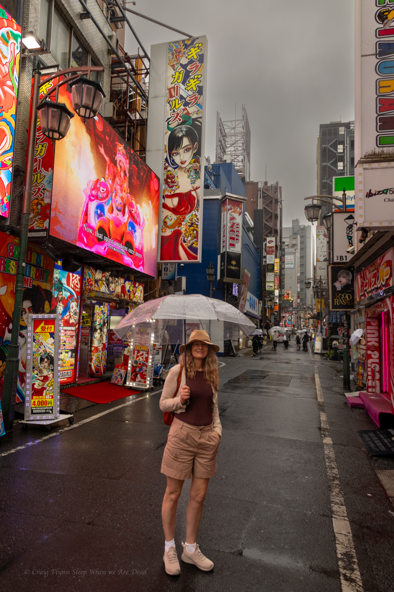
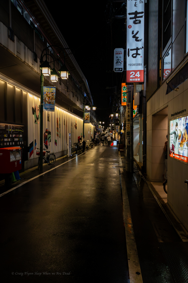
A few days in Tokyo with it’s bright lights and highrise buildings and were craving a bit of natural greenery.
Our timing wasn’t great, it was the tag end of Typhoon season so wet, windy and humid. But we weren’t going to let that stop us. We hired a little car and hit the road for the Izu Peninsula.
Eventually we left the major cities behind and wound our way up into the mountains. The lush green was such a contrast to the neon blues and reds and drab concrete.
The Izu peninsular is about 100km south west of Tokyo and the towns we began passing through, and you were never too far out of a town, were goregous but we were struck with the amount of seemingly abandoned buildings dotted around. It seemed like there was a failed attempt in the 70s to decentralise or something…
Anyhoo our first stop was Mount Omuro an extent volcano covered in lush green
Wonderful Views to Mountain Fugi
From there we headed to Amagiso Odaru Onsen with the time of year and poor weather we mostly had this to ourselves and Wow. It is amazing
Naturally feed hot springs at the base of a stunning waterfall
Ok so we kinda knew what to expect but pulling up to a non descript car park and following a path down a gully that alomst felt like we were walking into someones back yard. We were greeted at the gate buy a man who may or may not have ever left the gully. ¥1000 (or a bit under $9AUD) pp later and we in some sort of paradise.
The top onsens were about 42° and got progressively cooler as you wandered down stream along the river.
We spent a good few hours here just soaking it in before heading back to the car and just up the road a bit is the Seven Waterfalls of Kawazu
From here we head to the coast and the fanastic Hiromi Ocean View Spa Hotel.
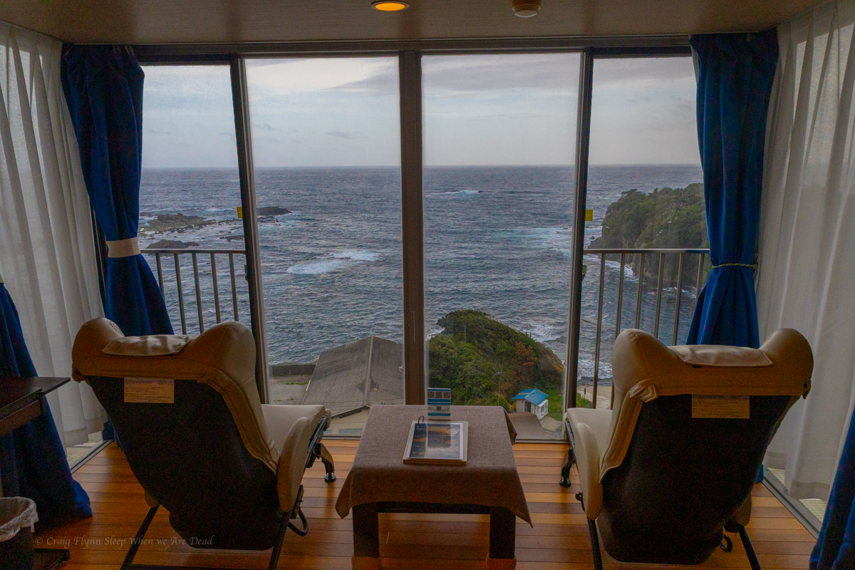
Sunrise views from the room
This place was so luxurious. The view from the room would be worth it on it’s own but down stairs the onsens as next level.
Word to travellers, it’s tradition in Japan for people using the segragated Onsens to do so nude. Swim wear is considered rude unless stated otherwise. If that is off putting for you this hotel has the option to rent a private Onsen where you can choose to cover up or not. We tried both options.
We also took advantage of the serenity room that was full of automatic massage chairs.
I’m not really a big city person so I wasn’t sure how much I’d enjoy Tokyo.
I mean 37 million people jamed into 1 city….
Spoiler alert I loved it
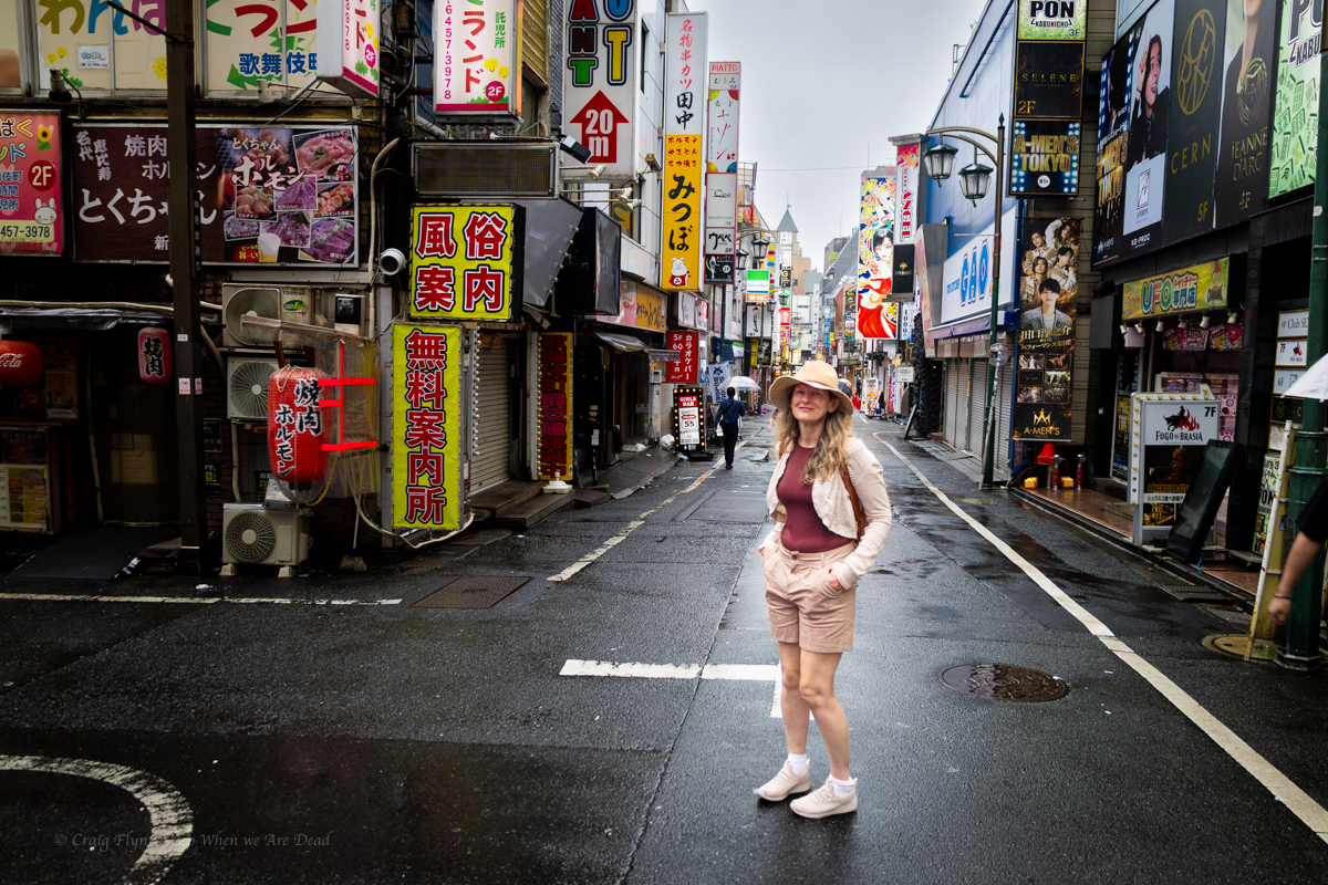
We based ourself in Akihabara just out of Electric Town
This seems to be a base for cosplay, dress ups, gaming and glamour and, dispite all that, was perfect for us
We took a day to get use to things in Akihabara then headed over to Shinjuku-Ku for a show at the world famous Samurai restaurant. We did the morning show and can only imagine the night life here. As for the show I can not recommend it enough. Thoroughly entertaining and they had the whole crowd engagued. At times it felt like each performer was there just for you.
Of course no trip to Tokyo is complete without 2 things
Taking on the infamous Shibuya Scramble. This is billed as the busiest crossing in the world. Cars go one way. Cars go the other way. Then all traffic stopps and a sea of people go every which way. At first I was like, well OK its a lot of people but there a lot of tourist in that and didn’t seem that much more than peak out Sydney. But then you realise it’s not peak hour and this happen every 10mins from 9am to god knows when.
and 2.
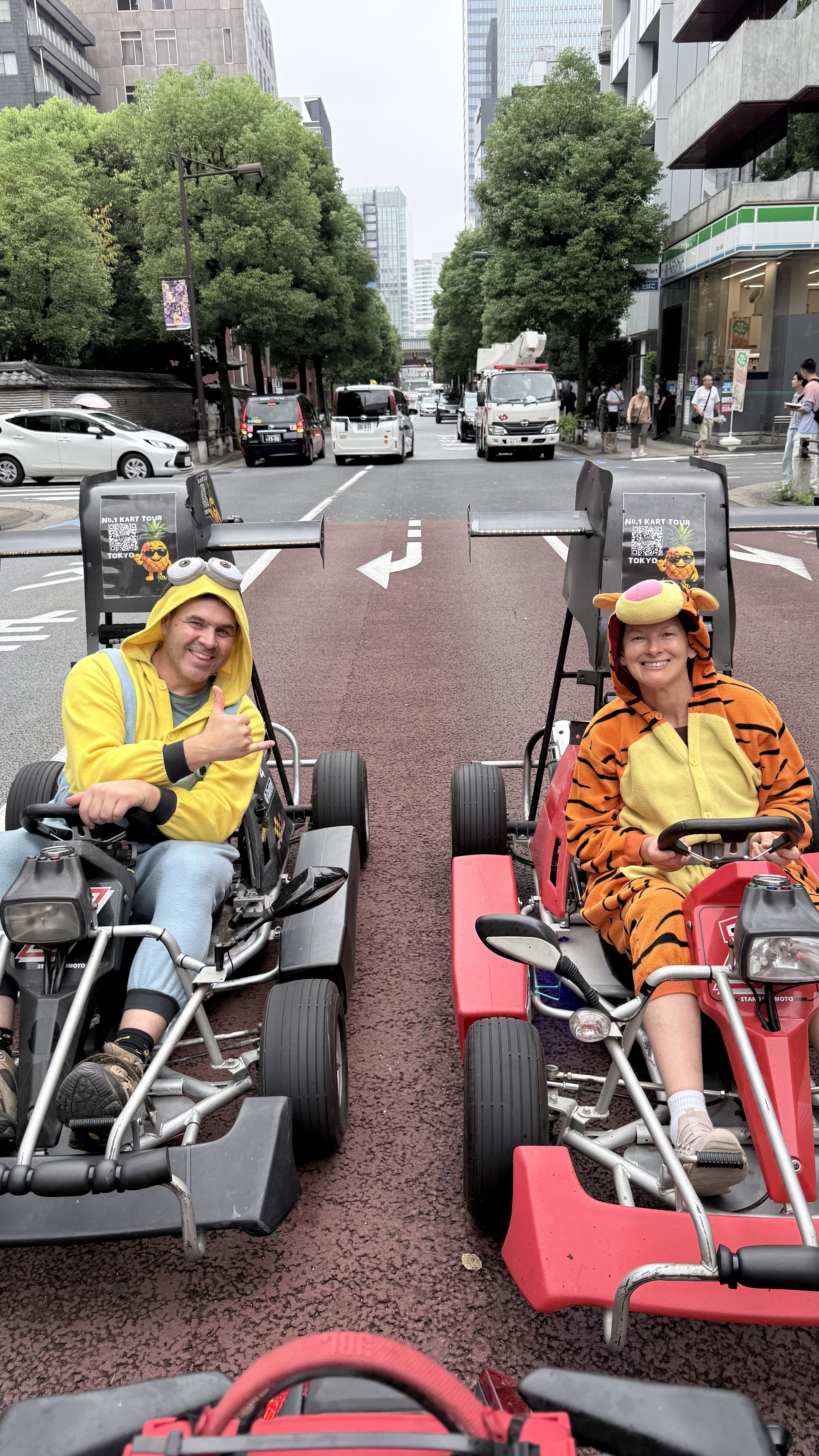
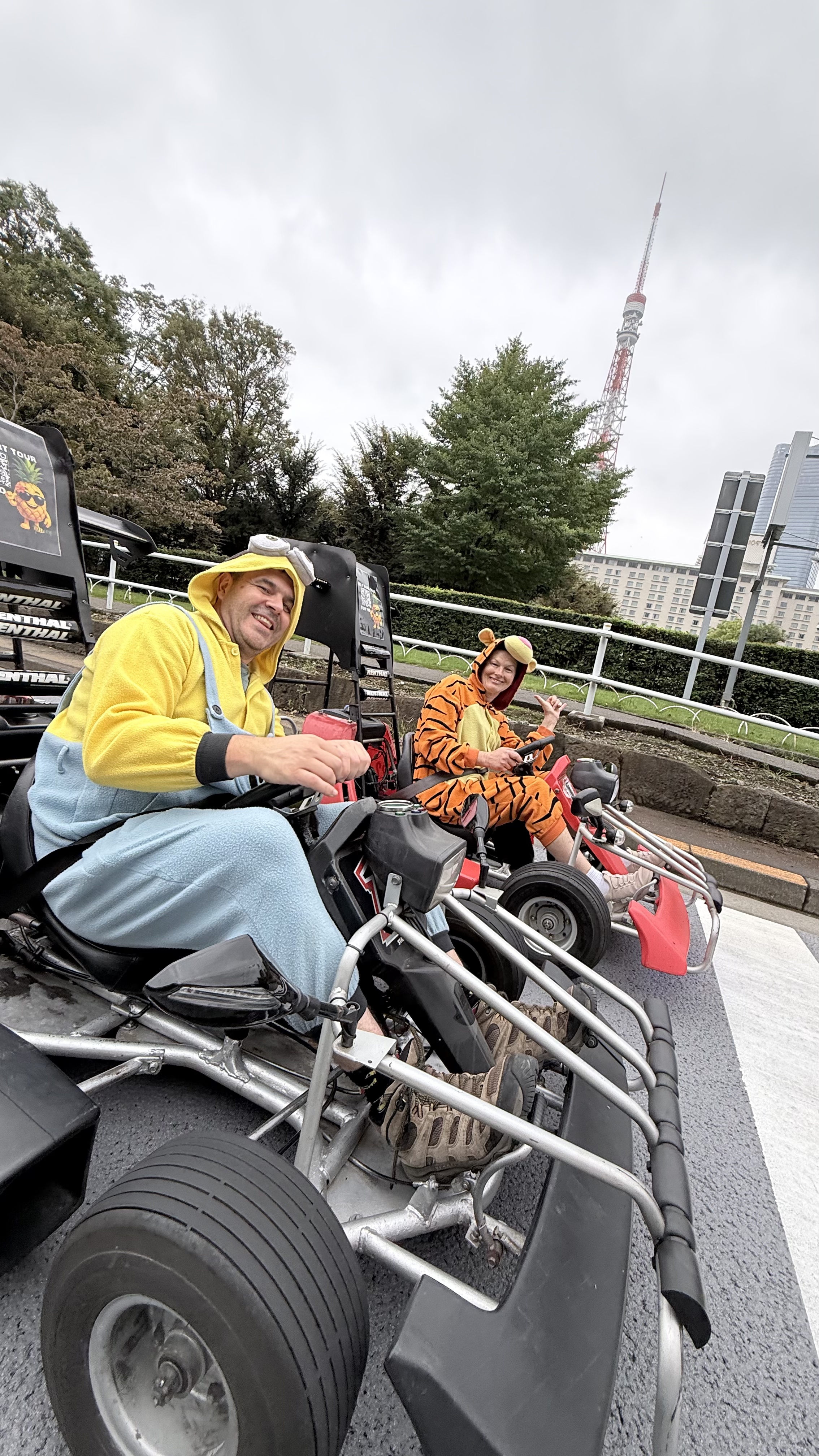
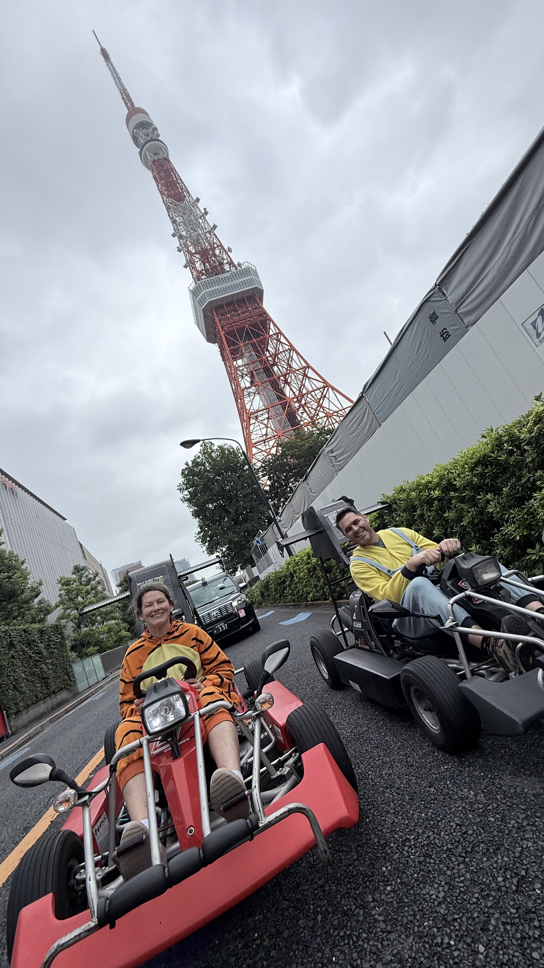
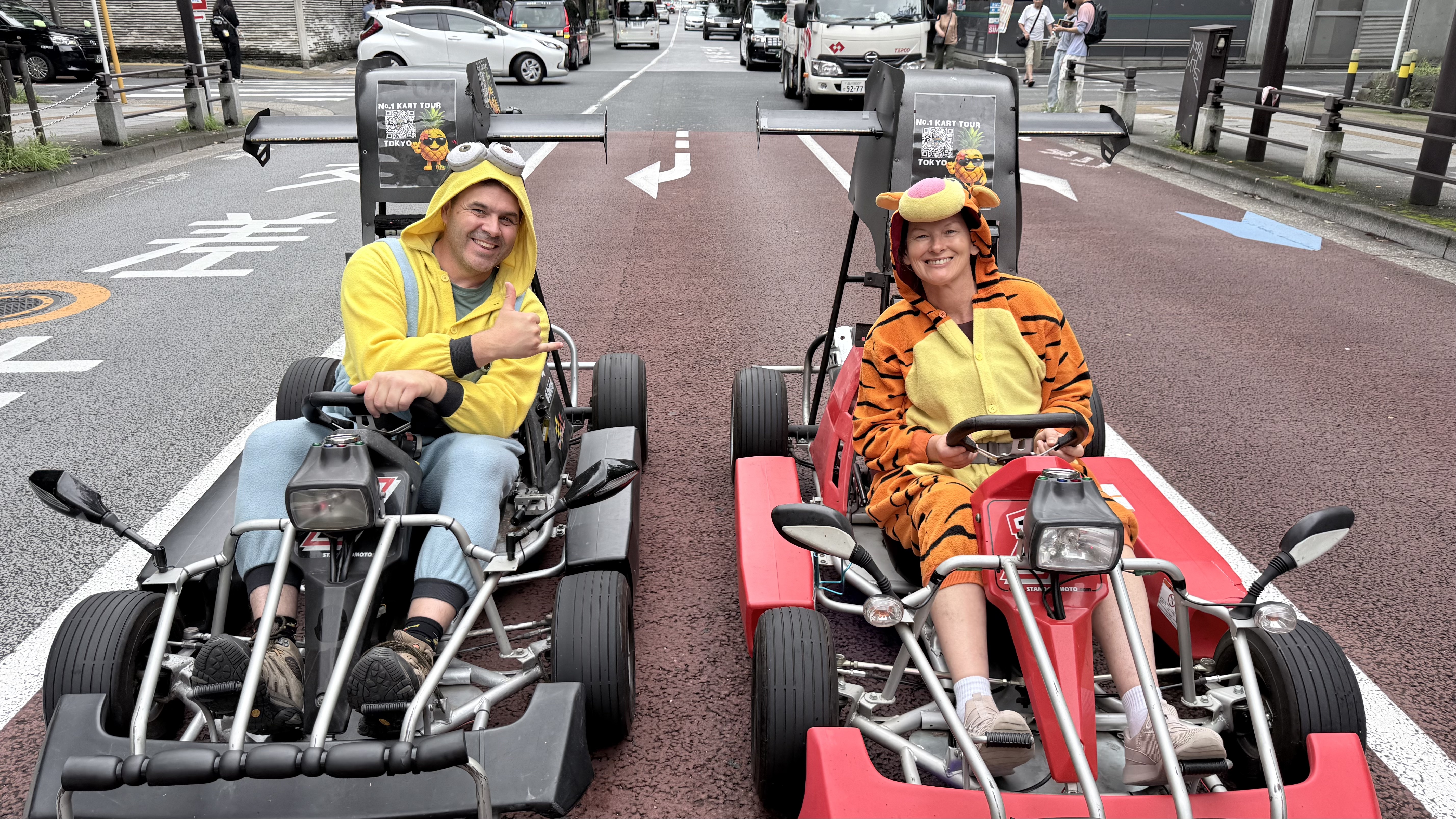
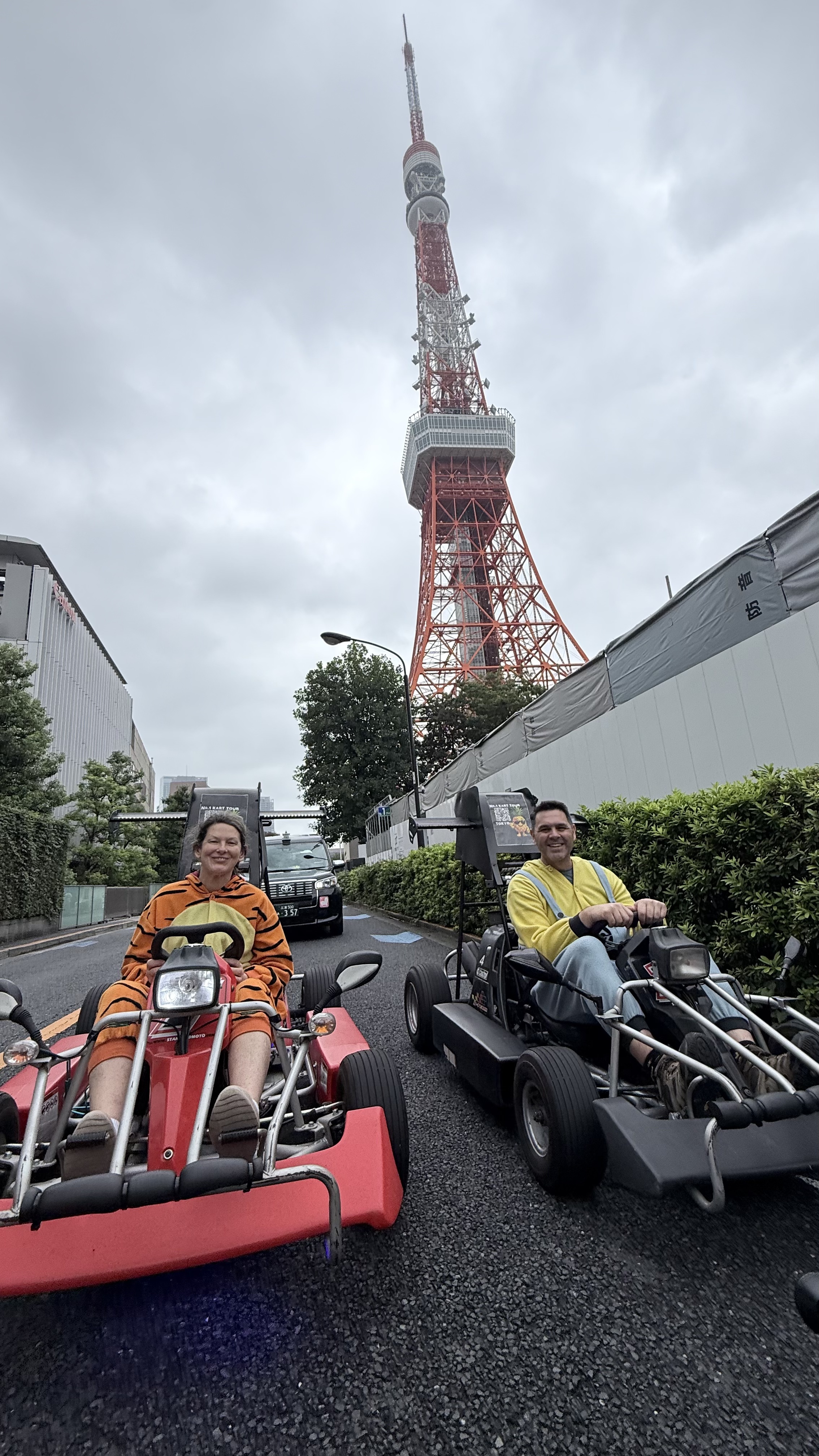
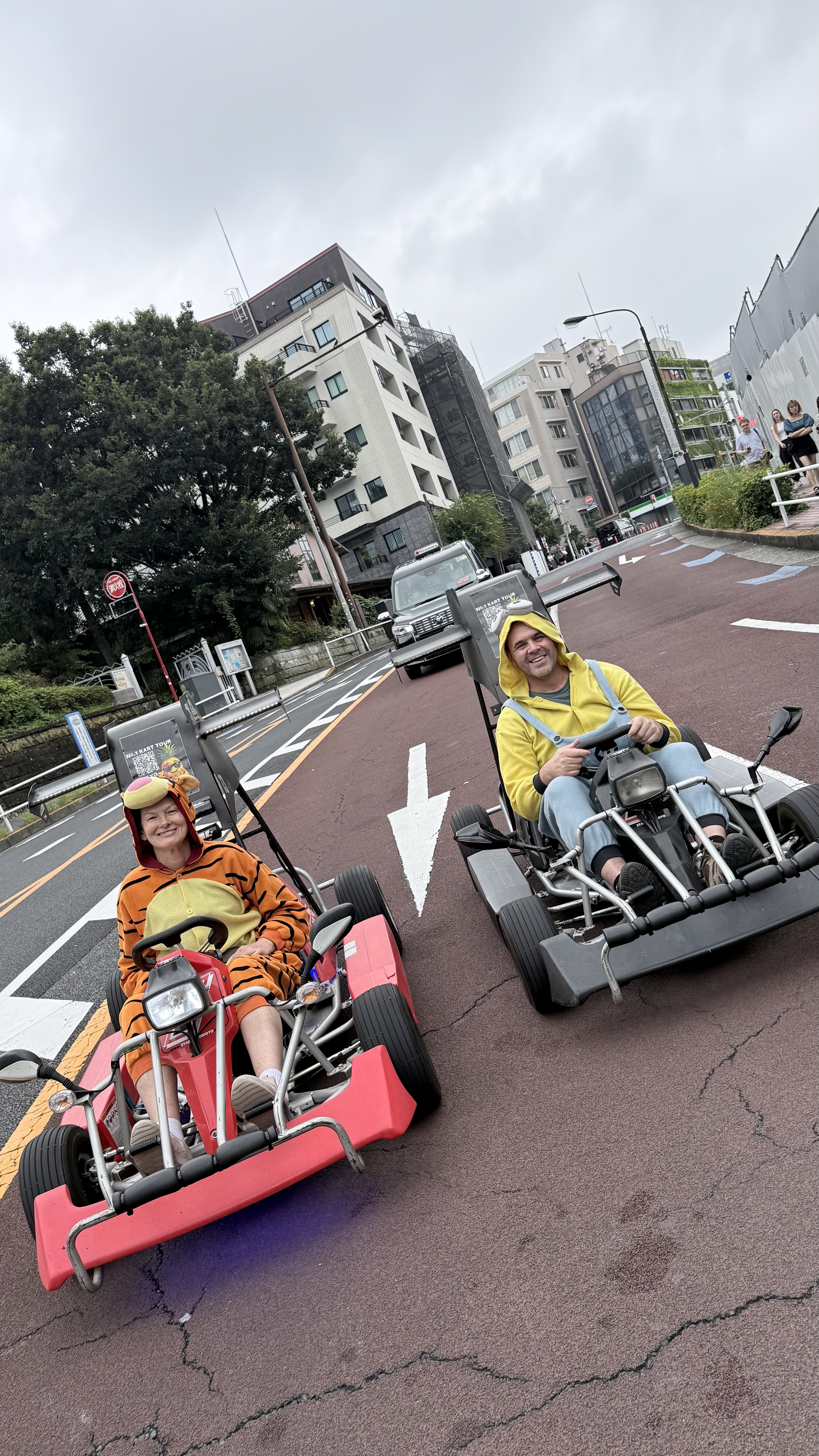
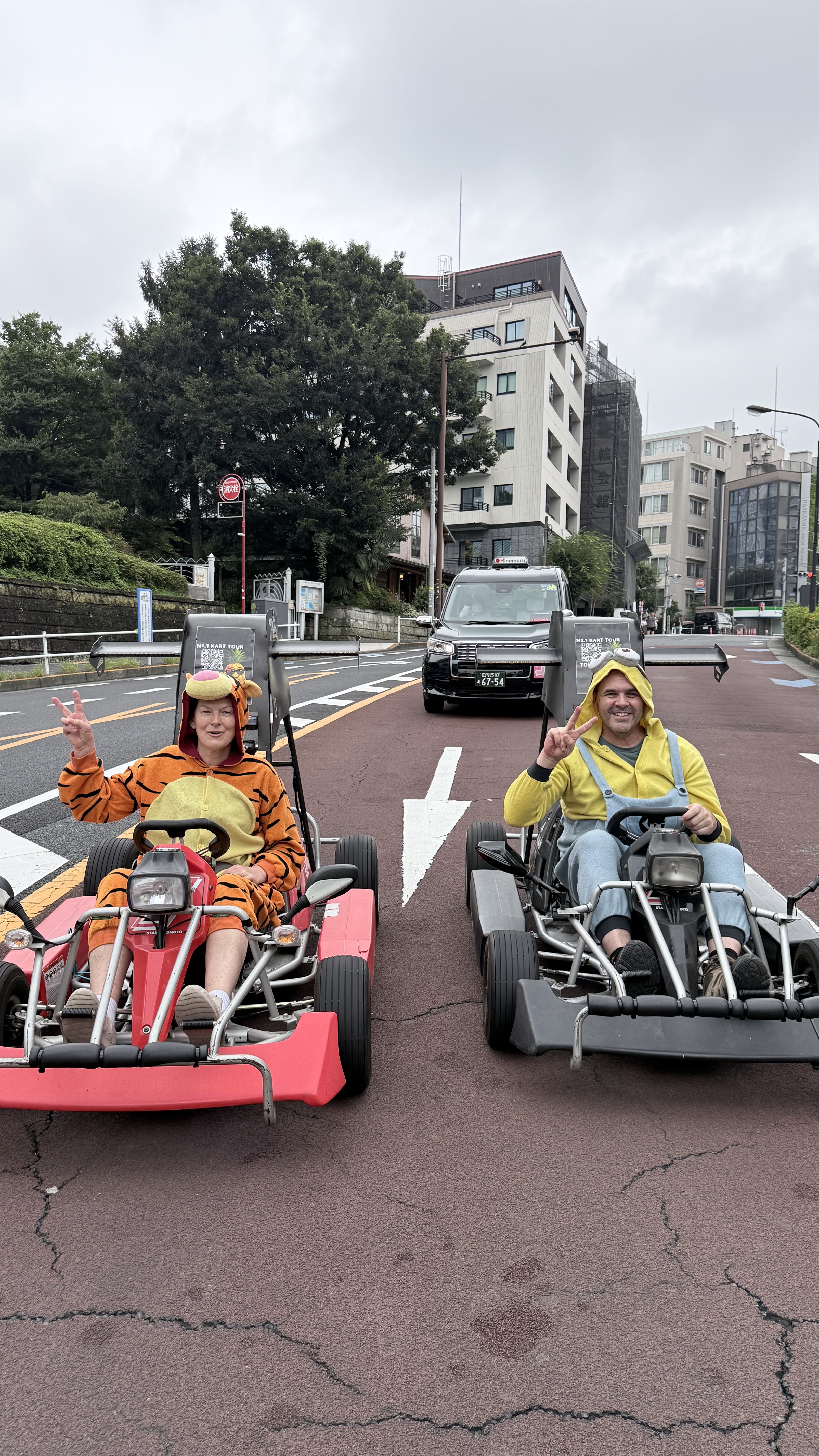
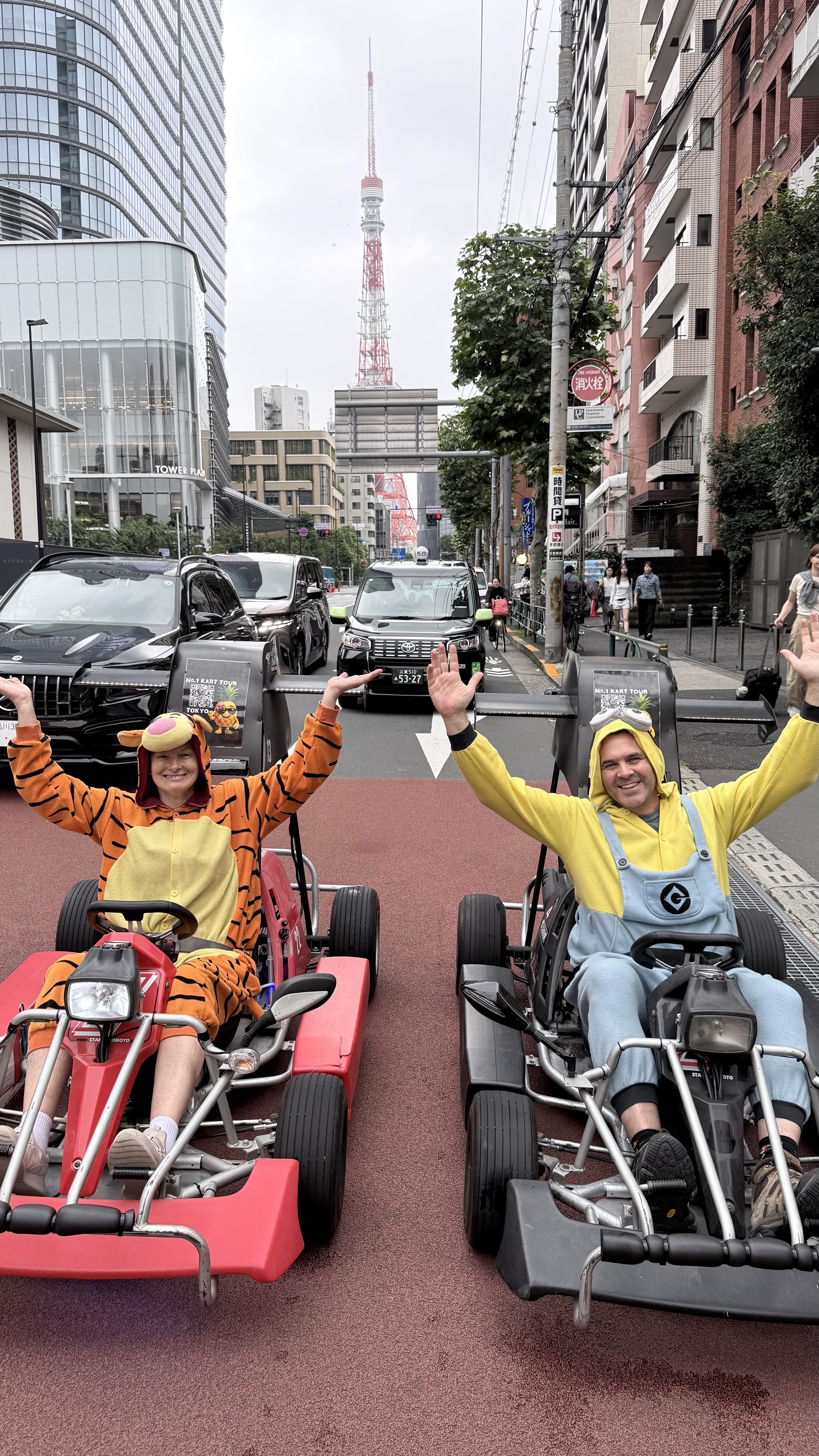
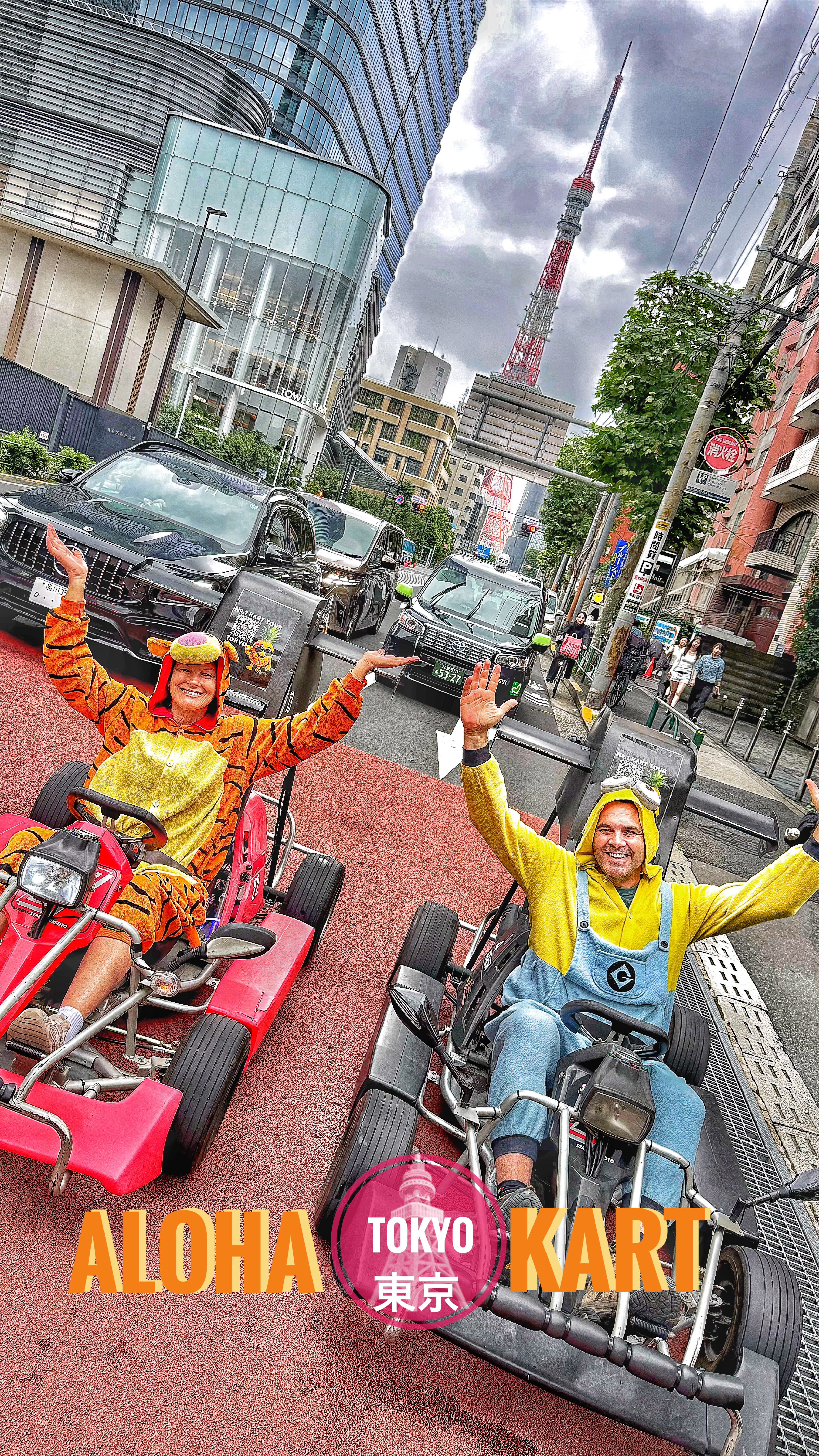
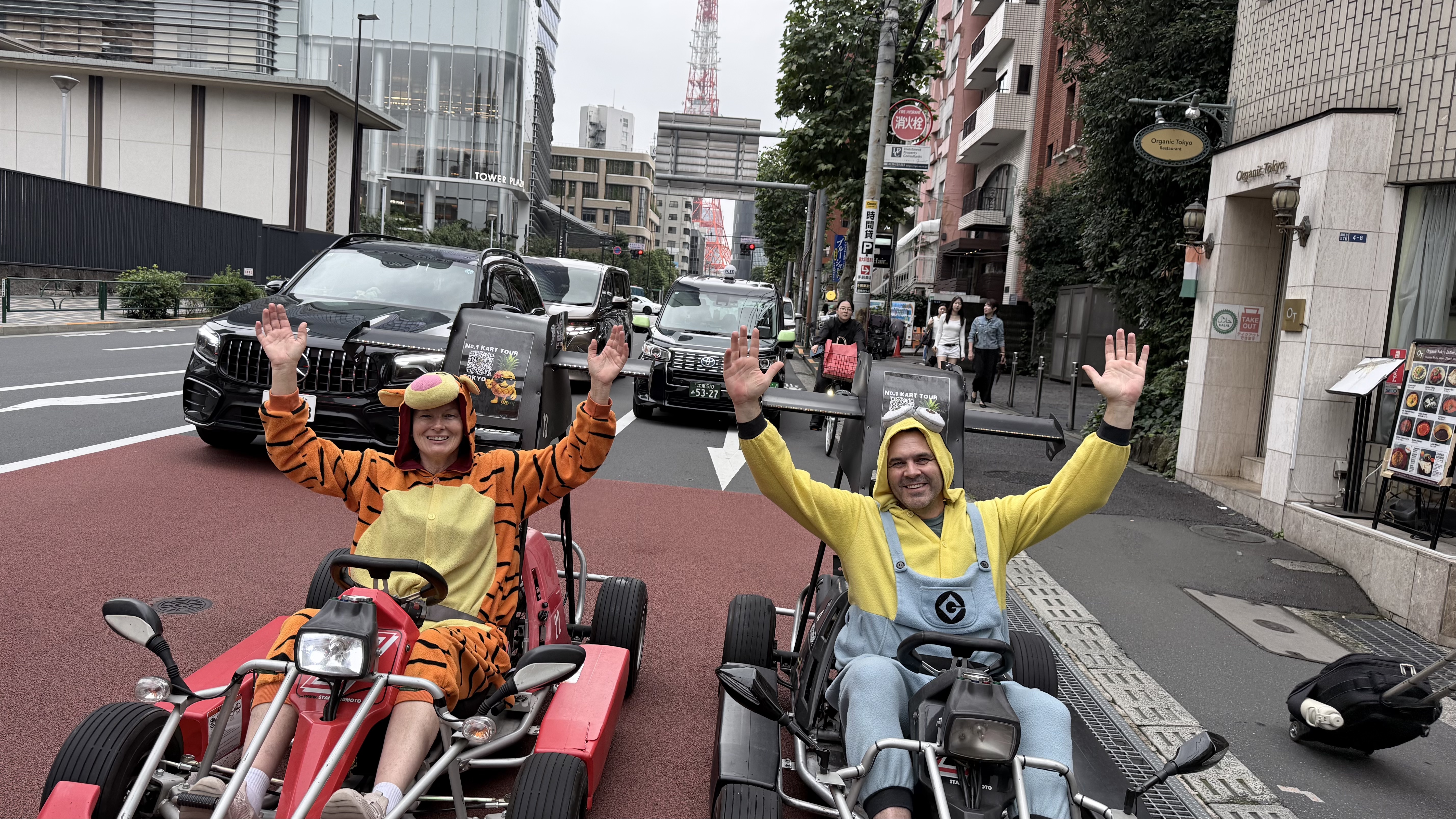
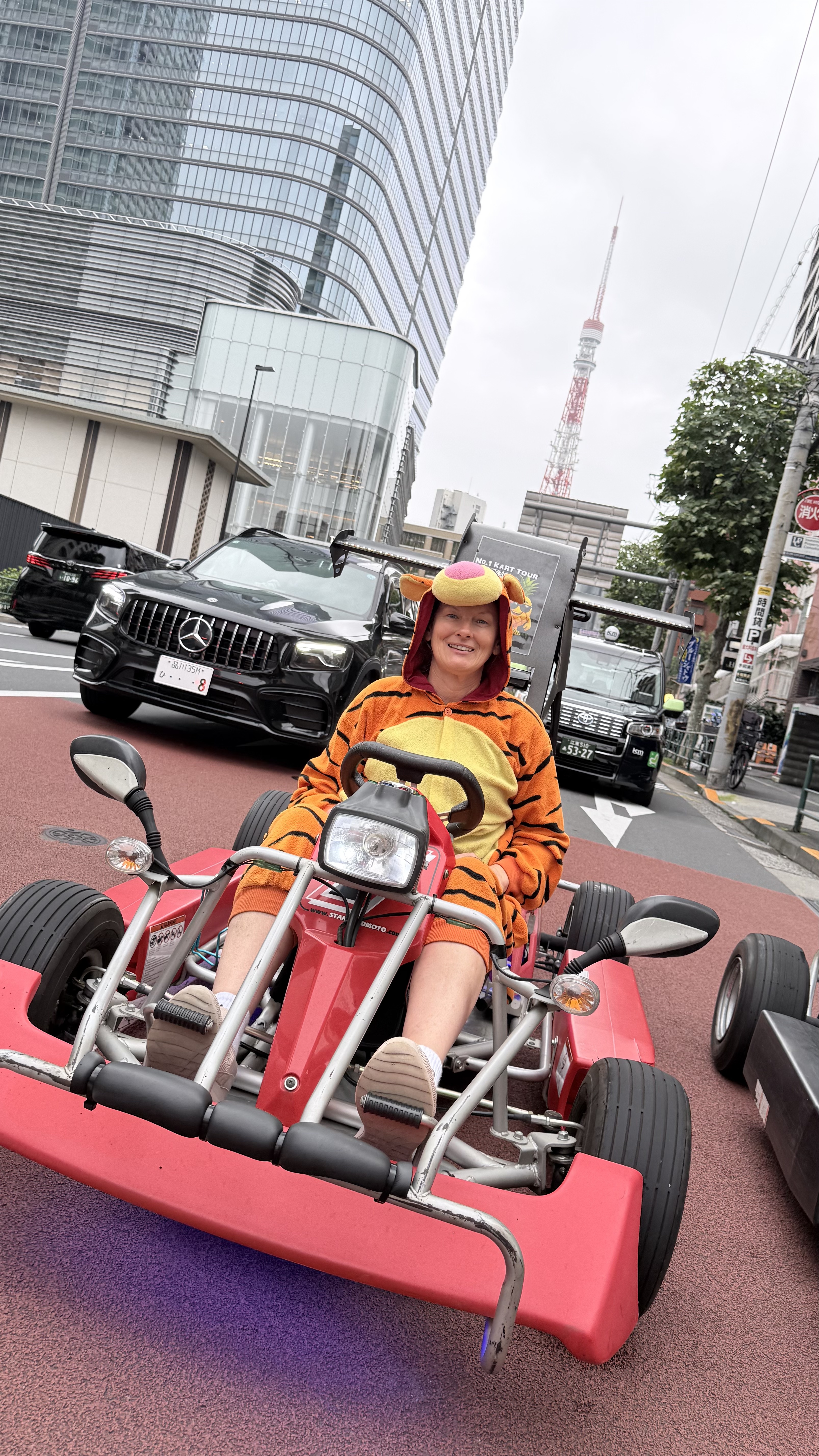
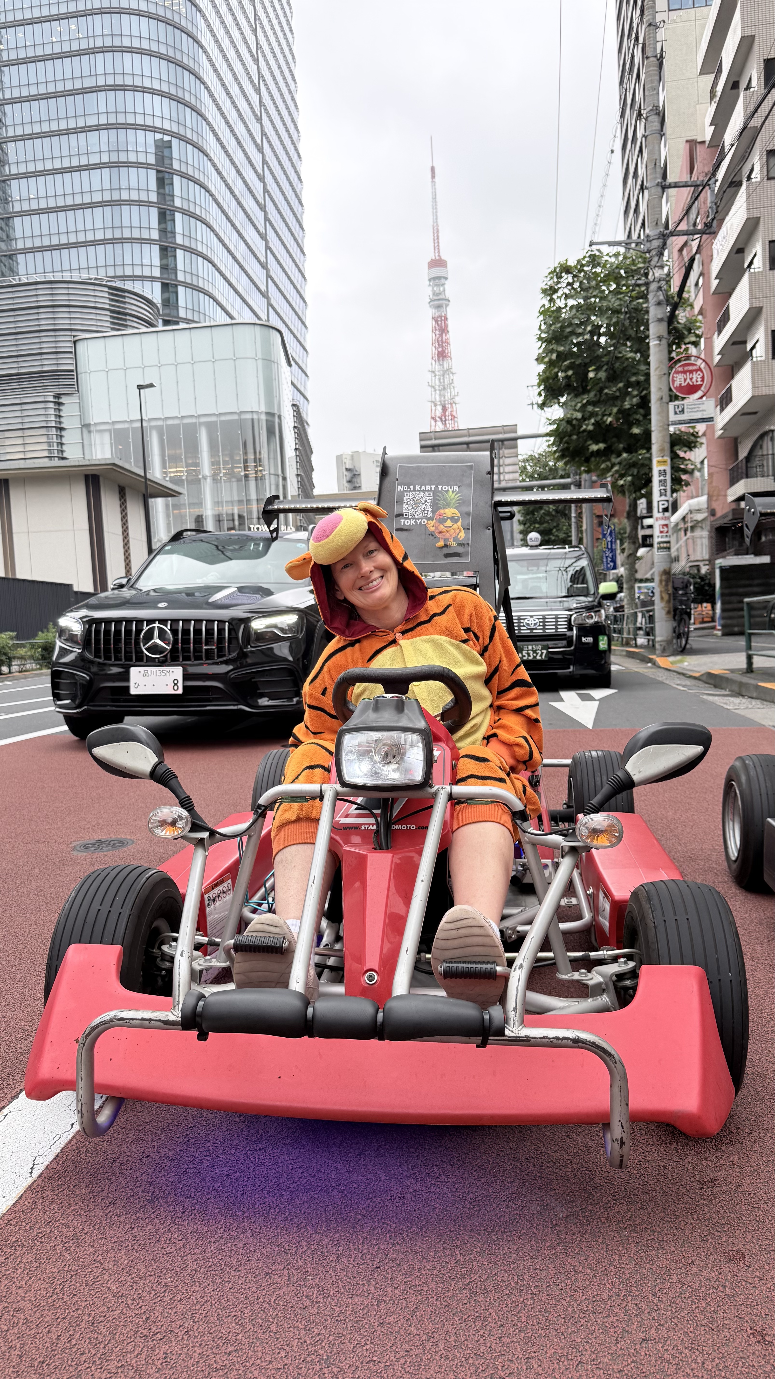
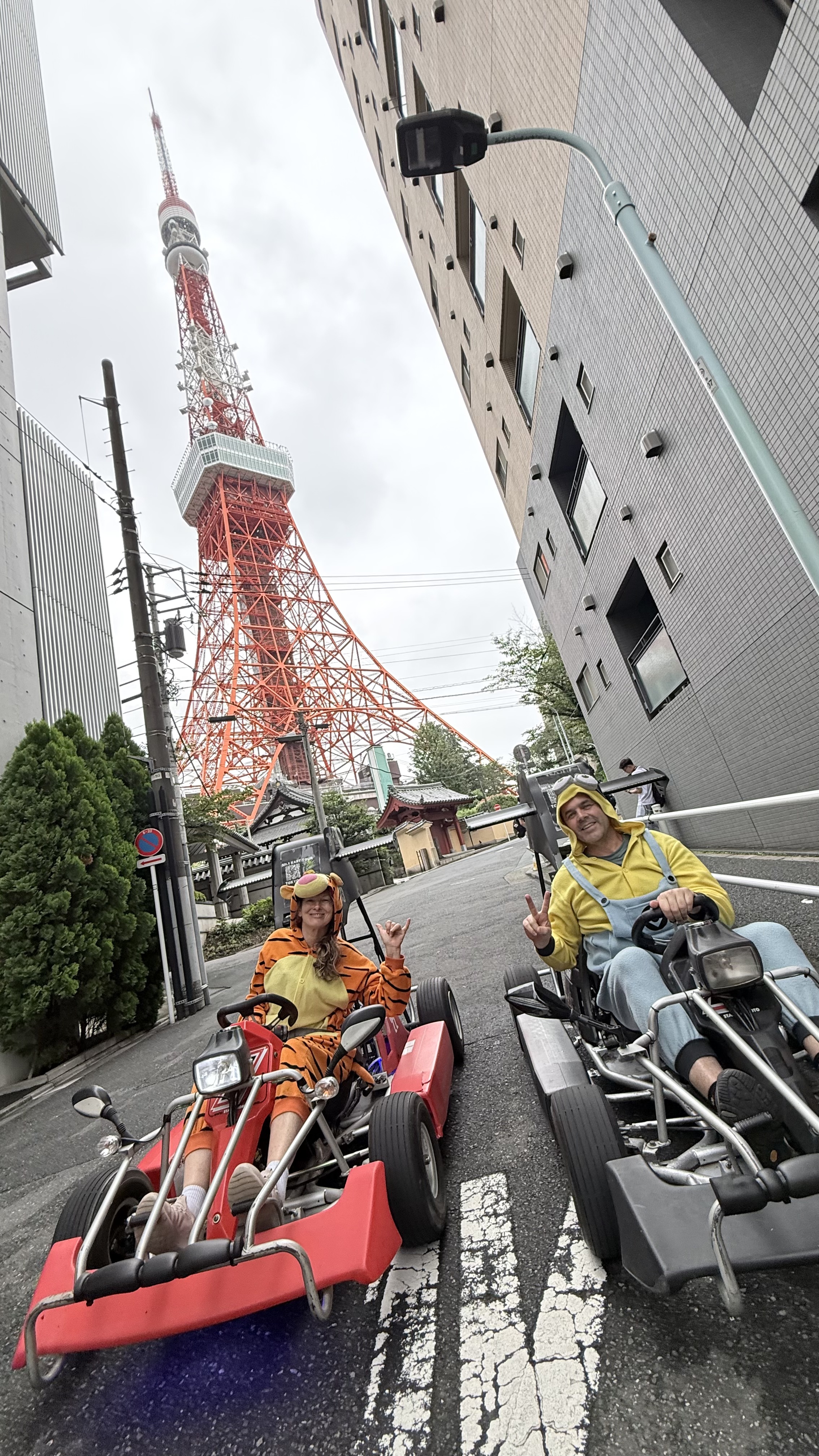
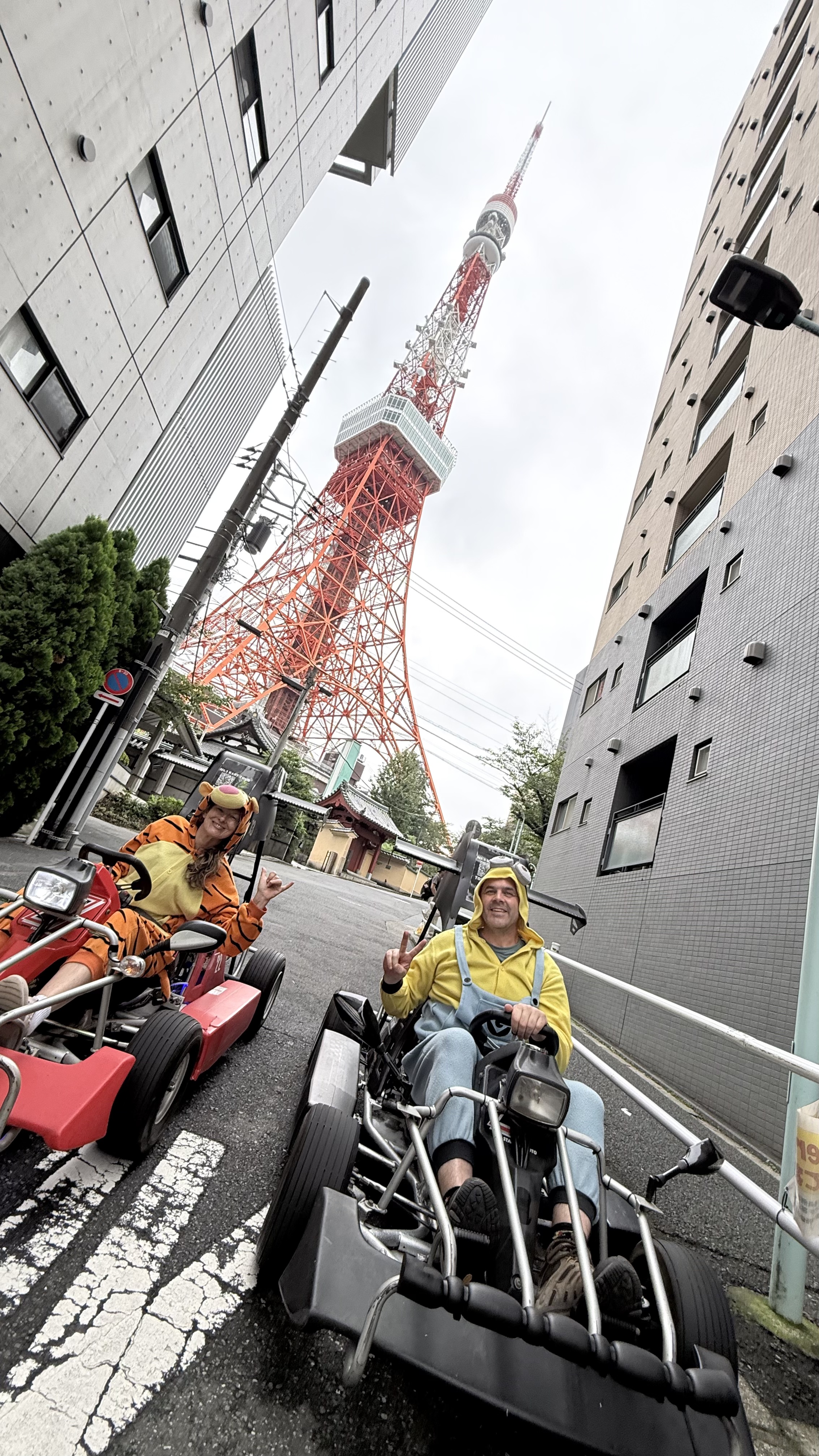
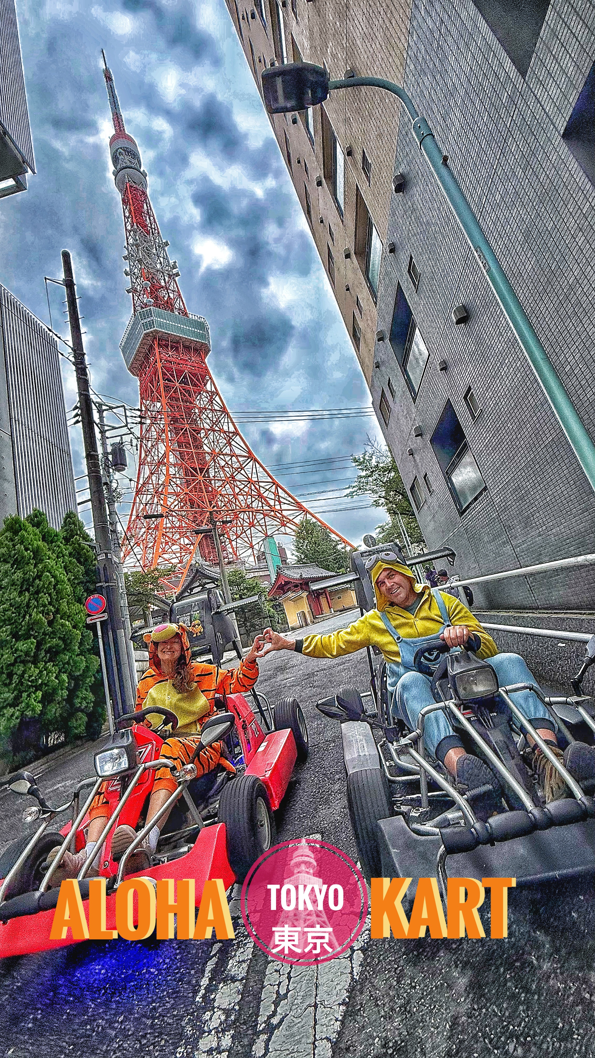
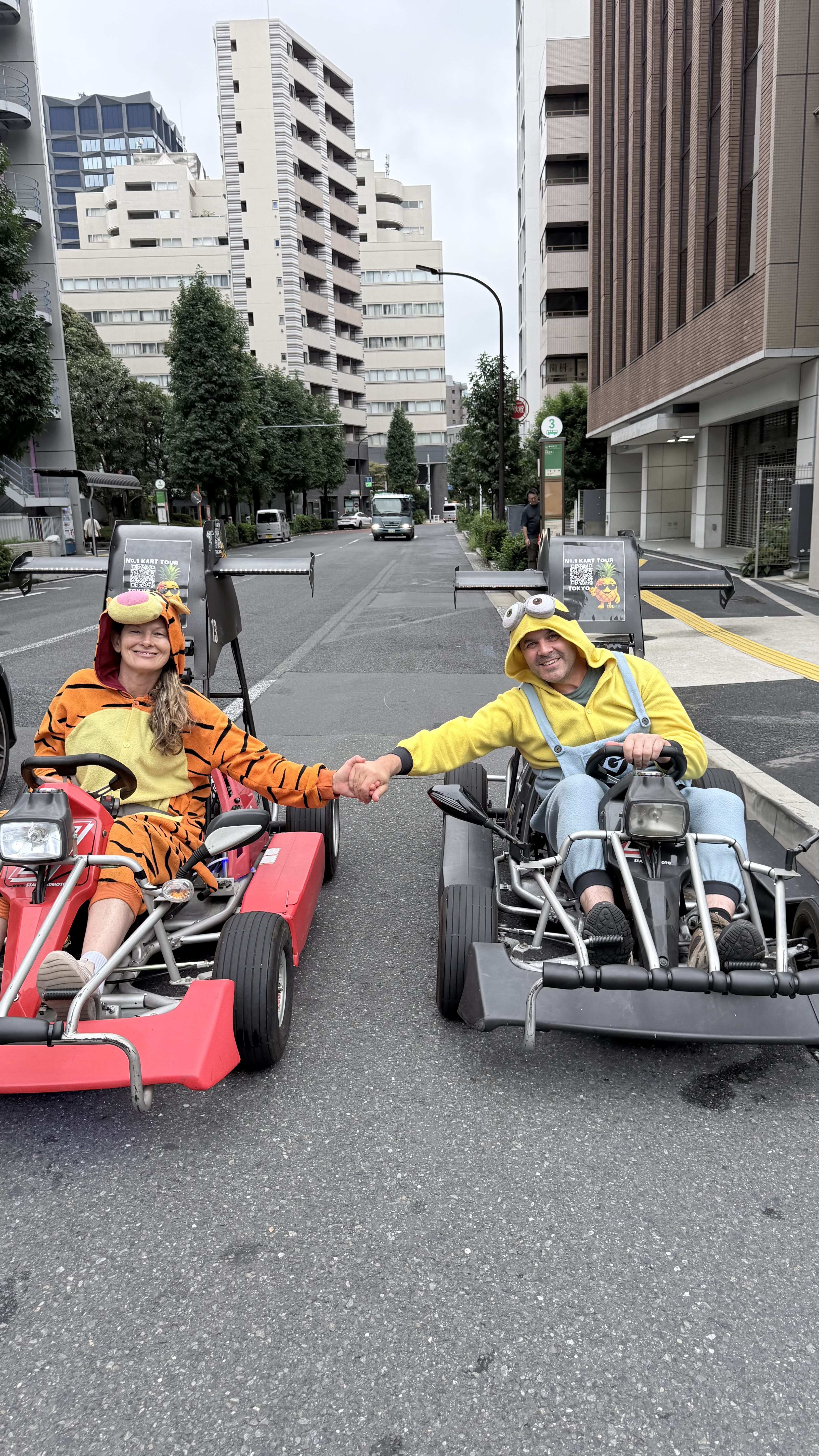
The absolutely not infringing on Nintendo’s Mario copyrightany more Go-Carts.
There are a bunch of different companies in different parts of Tokyo the offer this experience we went with Aloha Go-Carts from near Minato and they were amazing.
I can’t imagine to many other major cities that would let you zip through traffic in a go-cart dress in nothing but and Tiggr and Minion costume. At one point we had pulled up and our guide was out taking photos of us in the middle of the road. A police car pulled up with flashing lights and I thought Ok her we go. The please held up traffic for us and waved us on with grins…
The Japanese food was amazing and I loved so the next lot of photos might seem strange but Ashley had found out there was a Pizzeria run by the only 2 time winner of the World Pizza Championships, Hisanori Yamamoto. So we had to check out Pizzeria e Trattoria da ISA.
TBH we had a massive day and were starving so we probably wolfed it down and didn’t savour it as much as it deserved but, yes it was the best pizza I’ve had.
Tokyo has to be the cleanest city I’ve ever visited. No smog or polution that I noted. Clean street.
I have been saying for years we should get rid of public garbage bins. If there is a bin available people put stuff in it. Should great, but if it’s full to overflowing they still try and put their rubbish on the pile and it blows away. If it’s not full the birds get in and up it out. either way you end up with rubbish everywhere. I didn’t see a single public rubbish bin anywhere out side of an amusment park and you know what people did? Took there rubbish home to dispose of properly.
Not a scrap of litter any where to be seen except after a big Anime party on the final night in Akihabara and eventhen by 7am it was swept into neat piles for collection.
Anyhoo Tokyo is rad. more art galleries, mountains and coast to come shortly
Hang on, where’s that. Exclaims I to myself like a mad man.
I’d been playing Richard Pattison’s ‘What canyon is that’ game and trying to pin point one of his Beyond the Guidebook canyons on the map. I’d dicyphered the clues pretty quickly and added a waypoint to my map. Then I got side tracked as often happens.
Flicking through canyon reports and looking at maps my gaze had drifted to a different canyon area altogether when I came across a refference to another canyon along th Bells Line that I hadn’t done.
There wasn’t much info to go off but we thought why the hell not go for a look. We weren’t expecting much, the satelite imagery wasn’t overly exciting so I figured it would a creek bash with abseils but it fit our need for a shorter day.
We parked up where we thought the exit woud be, hoofed back up the road a bit and then bashed our down through a bit of razor grass and native raspberry before finding a dry water course that got us through the worst of the scrub before we travsered a bit further upstream to where I’d marked an possible entry.
H found a break in the lower cliffs and we scrambled down with the aid of a hand line.
The pretty creek matched what we were expecting
Just downstream though it dropped into a proper little canyon.
The double drop looked to have a deep pool in the midshelf so we scrambled out and travesed to a tree, hoping to descend straight to the lower level and avoid getting too wet.
From here it’s a pleasant walk down to the gully we opted to exit out.
.
We could have continued down to a more popular walk and exit a couple of kilometres downstream but we opted to punch up to the cliffline and follow a narrow ledge up to a break where, with a short climb (one or 2 grade 8 moves) we gained the nose and it was an easy stroll back up to the road.
And we finished the day with a ride and picnic. Why not