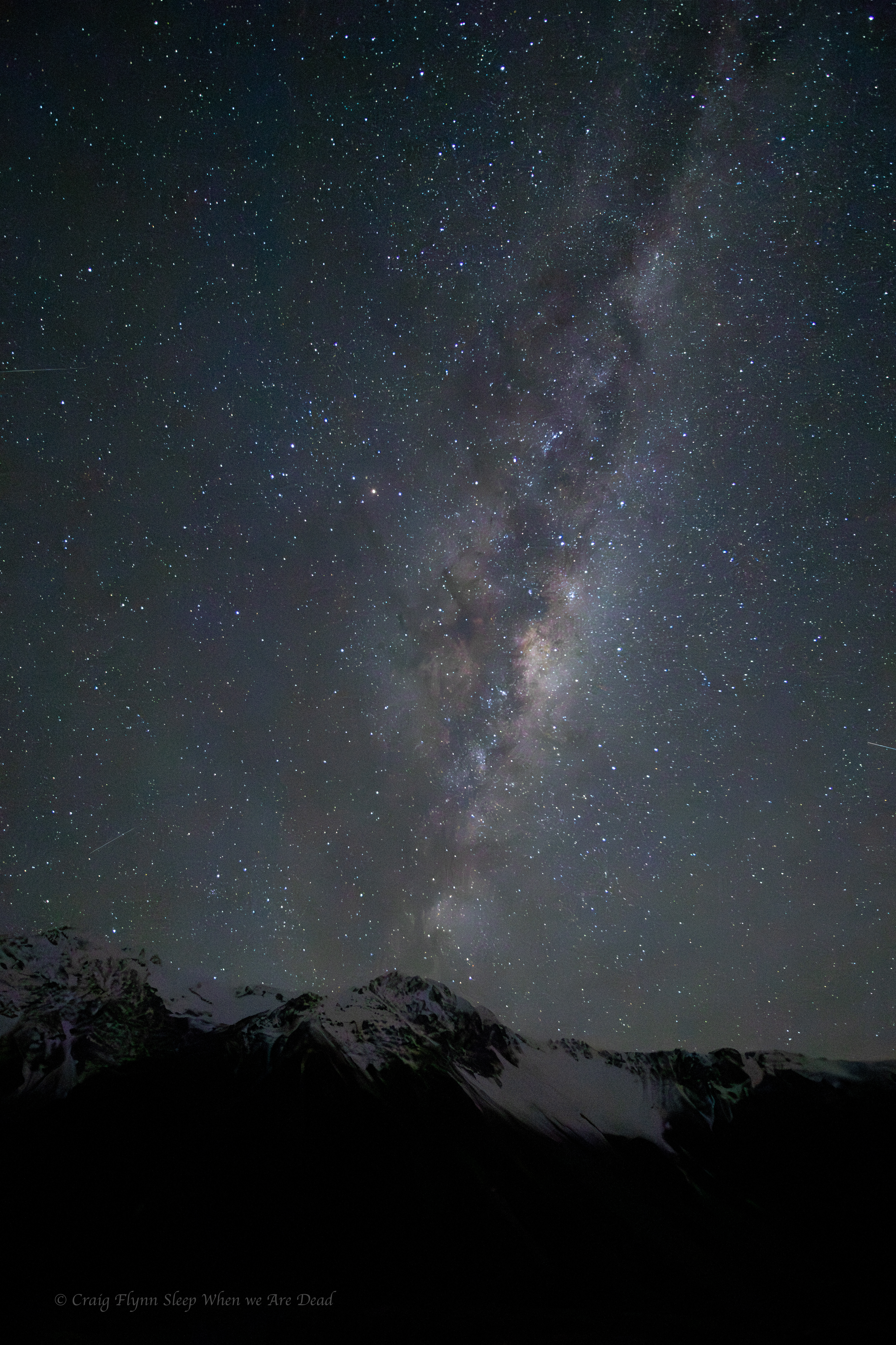
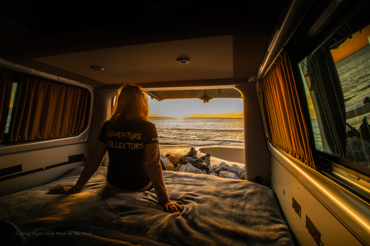
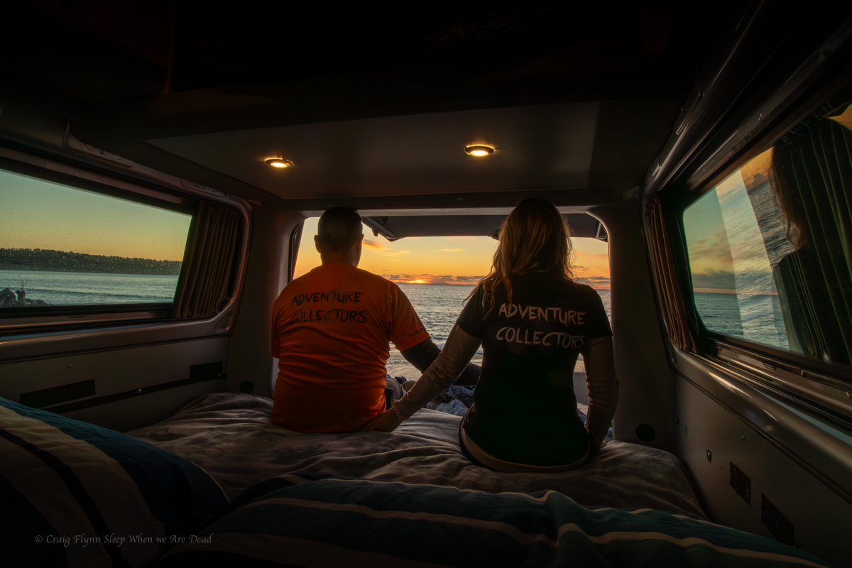
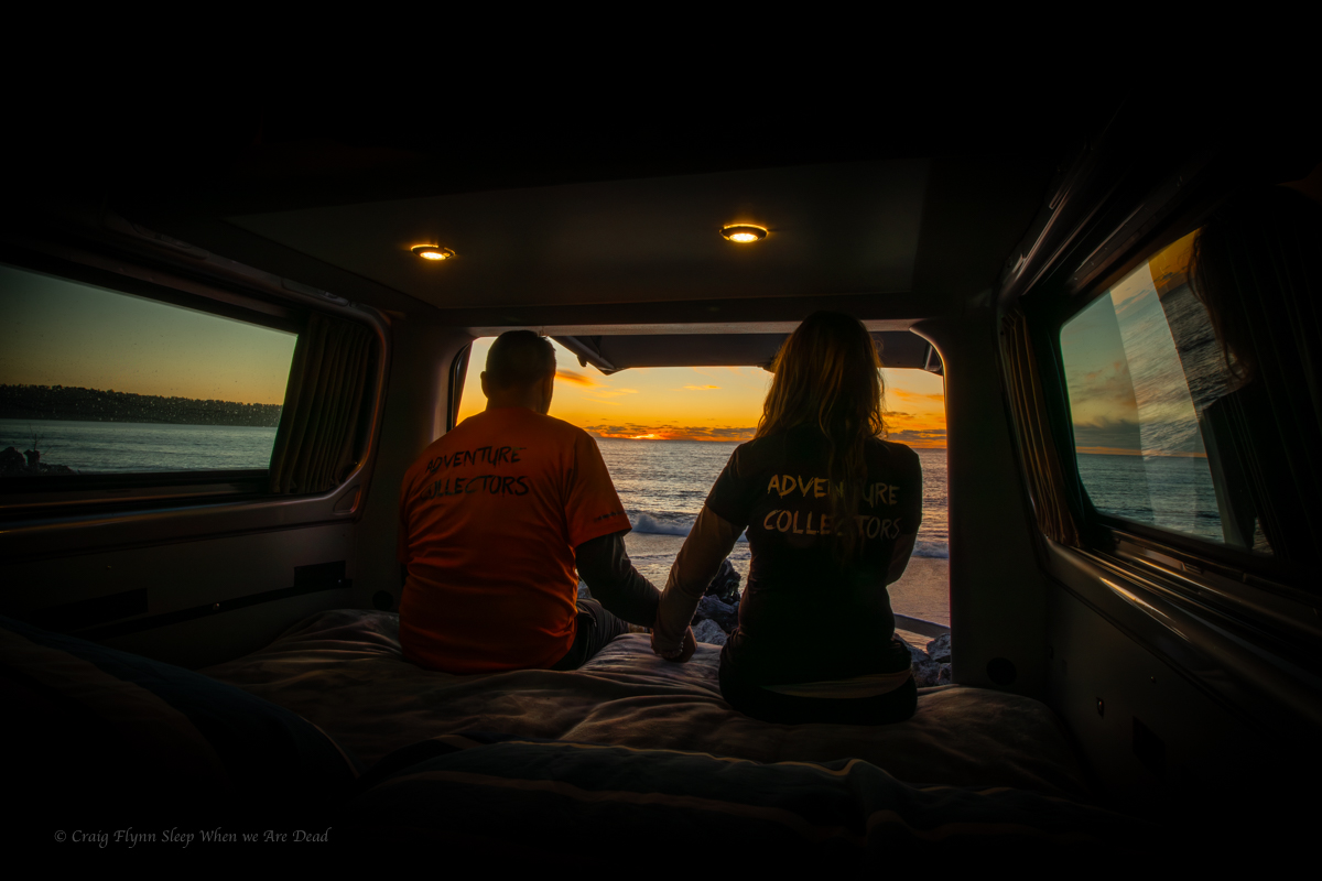
04-10-2025
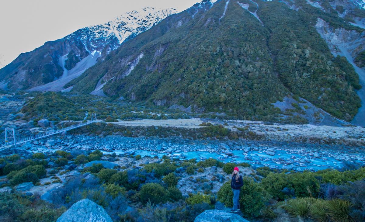
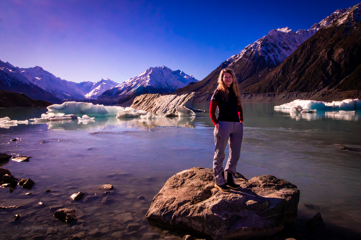
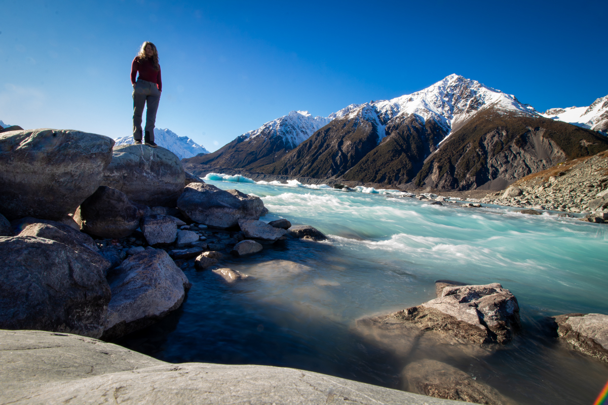
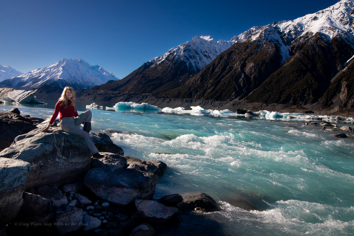
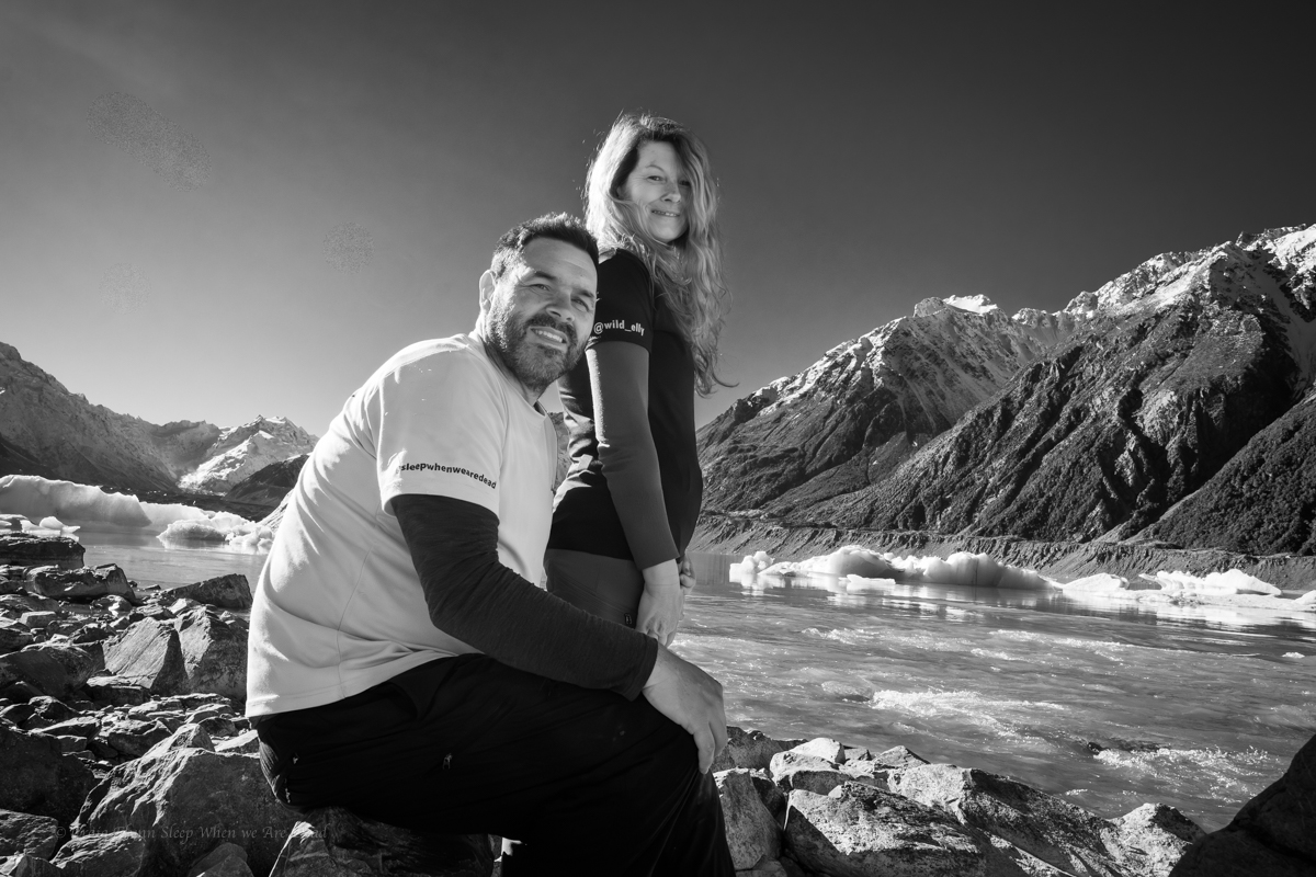
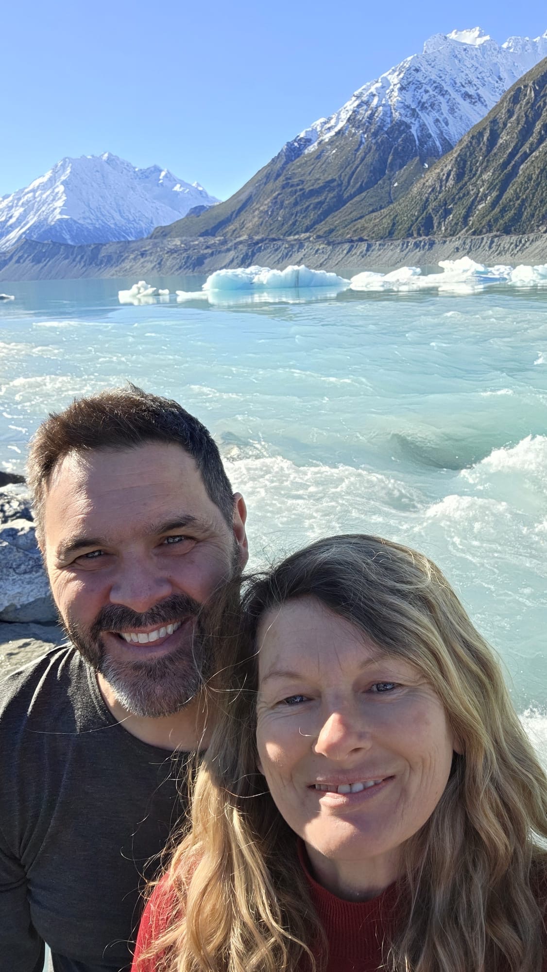
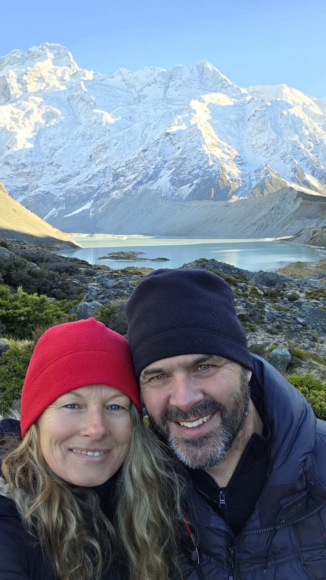
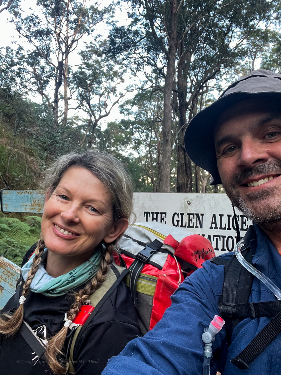
Kylie, Kristo, Jason, Hywaida, Dave and meeeeeeeeeeee
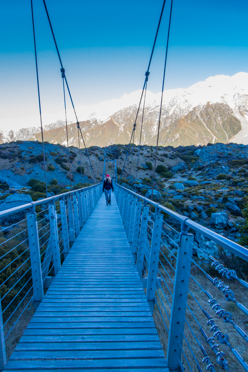
This one had been on the agenda for a while.
Kylie had scoped out topos and satellite images years ago. Then it caught the attention of Laurie, the Victorians and others and the race was on.
I’m not sure who lead the first trip but they did a stella job. It then appeared in the Canyoning Around Victoria guidebook, Published by Rob and Sam. But being a little out of the way meant there hasn’t seemed to be a ton of repeats.
Anyhoo it was time for us to give it a shot.
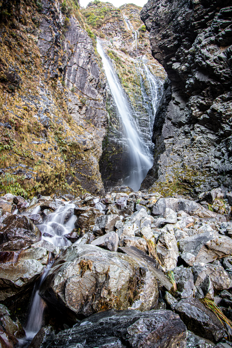
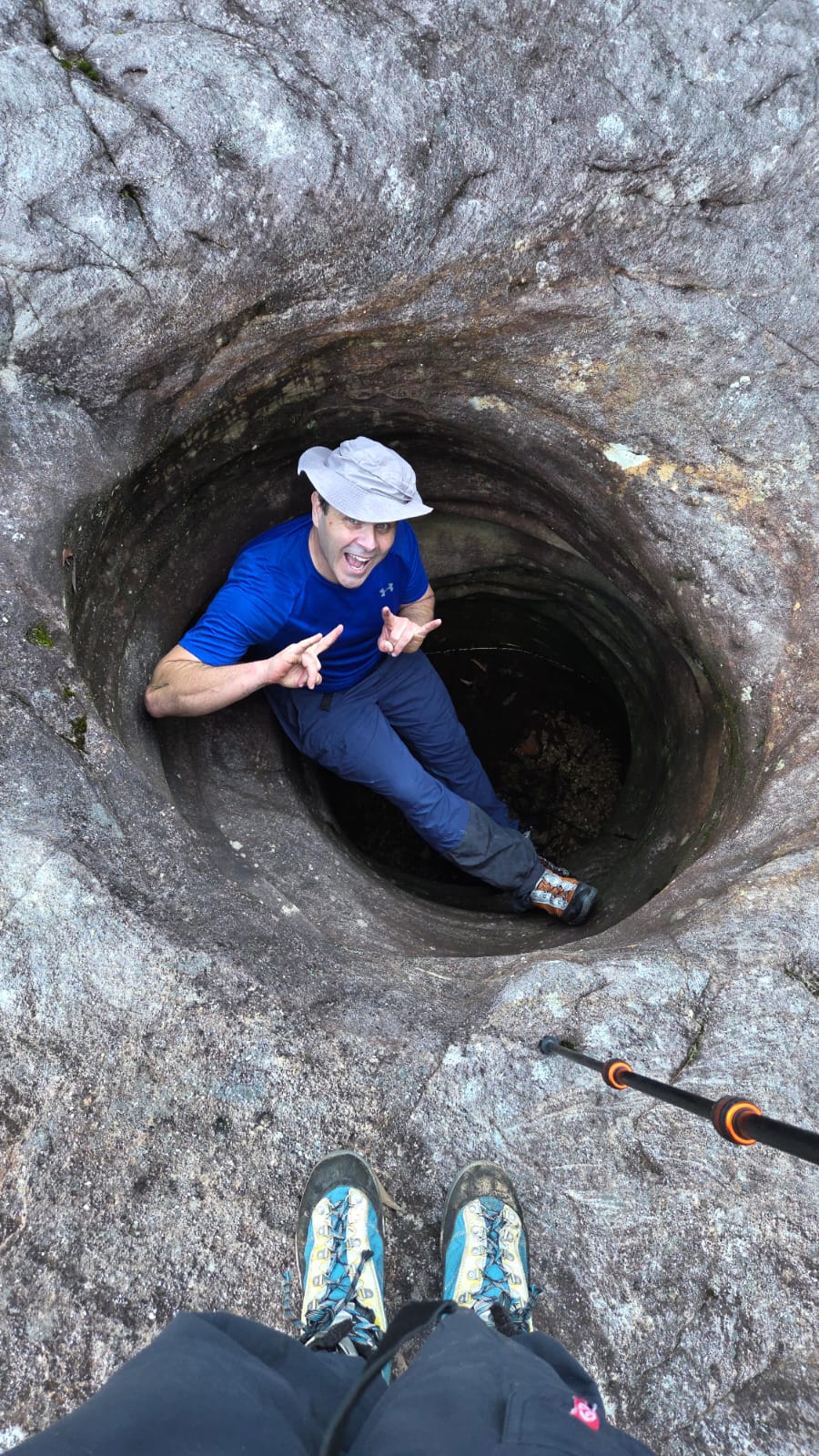
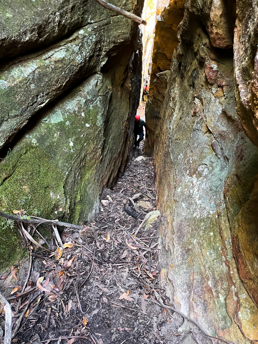
Our intel said to drop a rope to aid with the last little bit of the exit. Rope wiki said someone should descend it to make sure it’s in the right spot. But there was nothing to say what the right spot was. Asking previous parties gave mixed messages. Everyone said it was really obvious where to put the rope. Almost everyone said they put the rope in the wrong spot and had to free climb a bit…
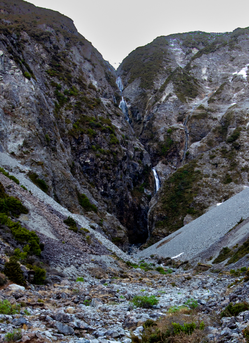
The guide said the last 10m of exit was the tricky bit, ropewiki said setting a 20 or 30m rope in place to assisted existing would be handy.
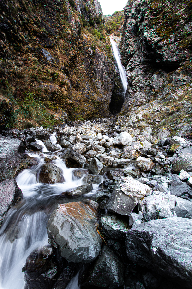
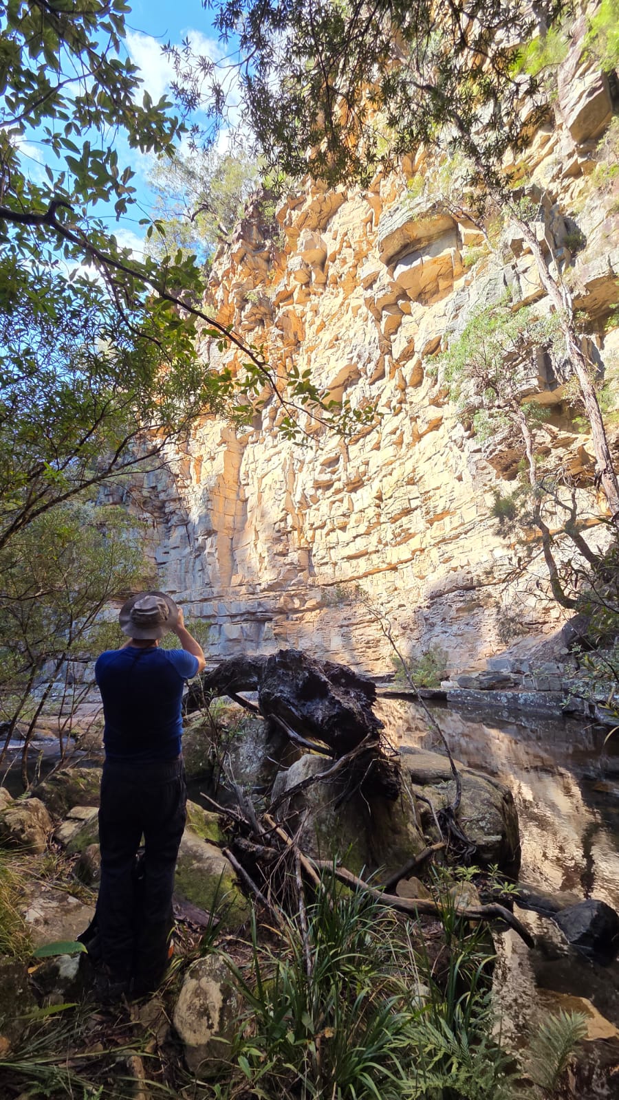
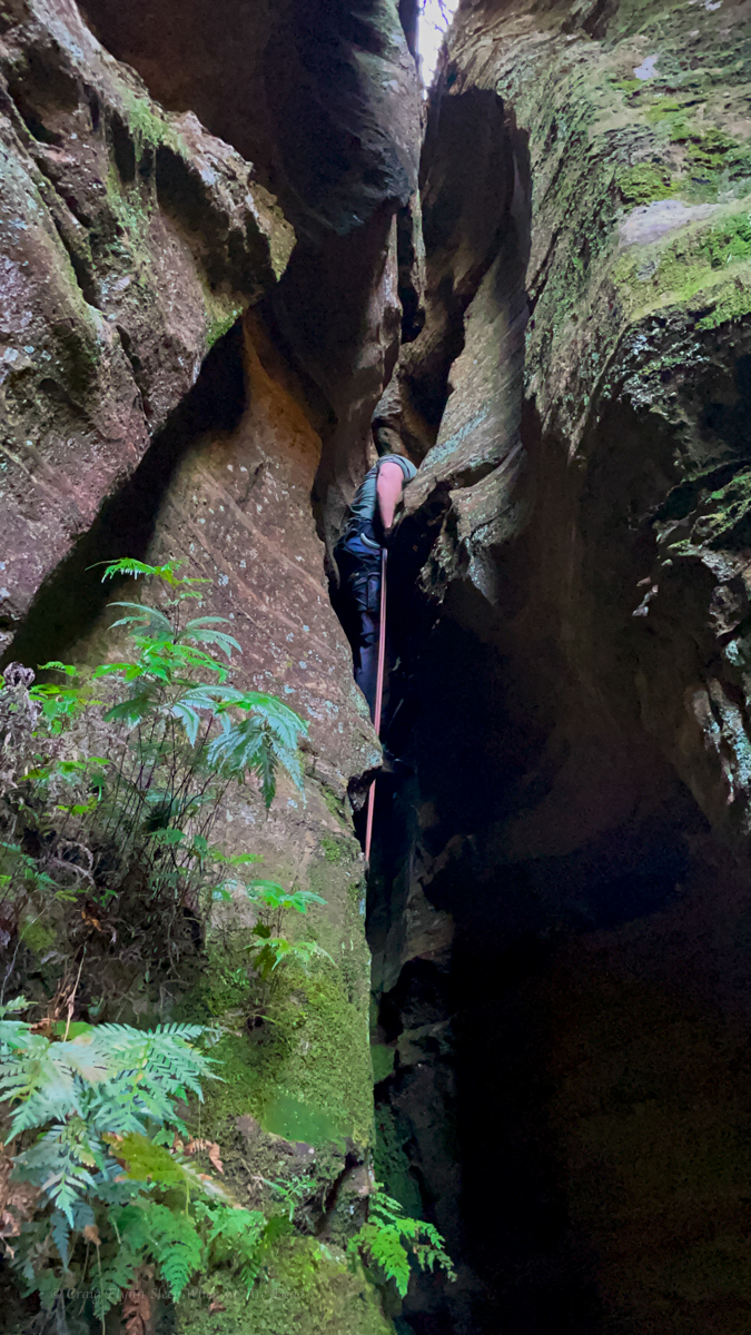
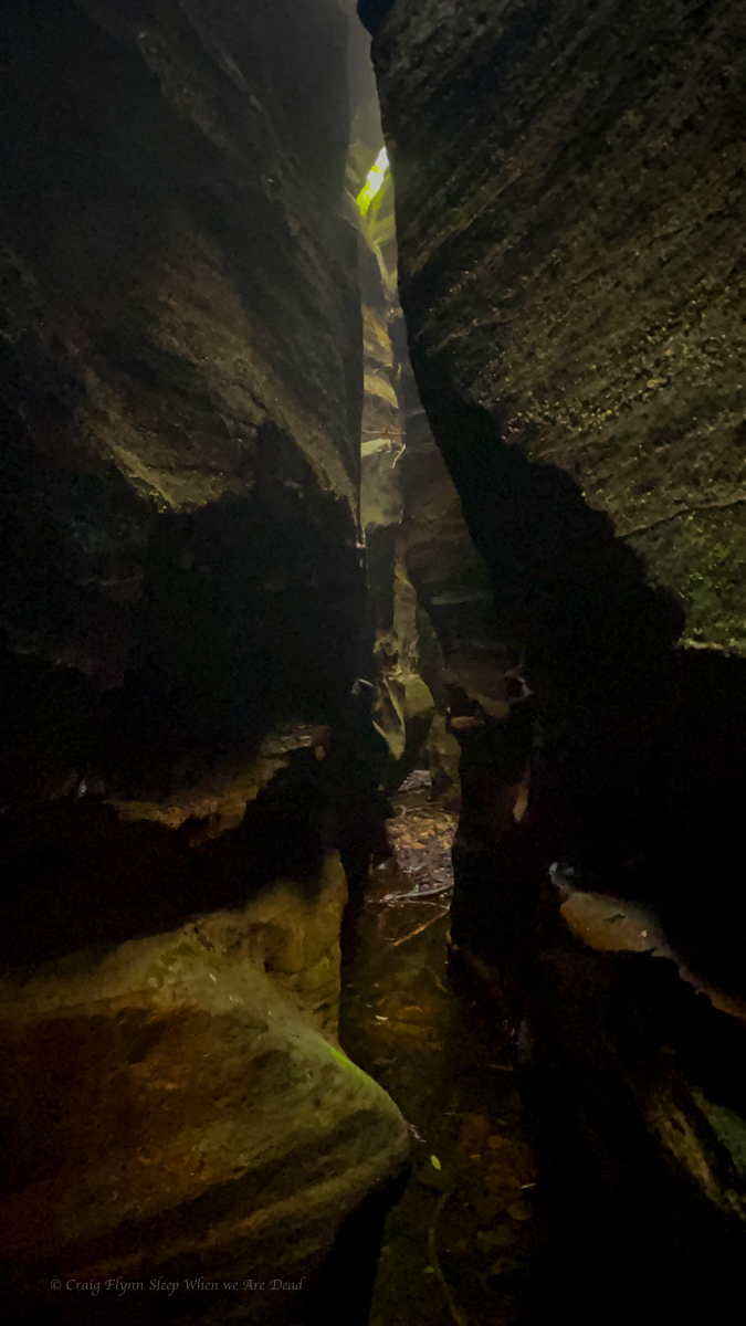
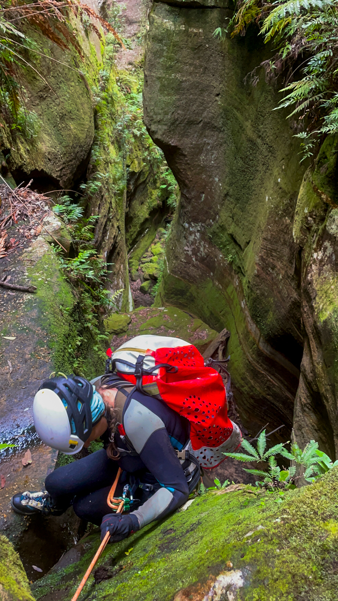
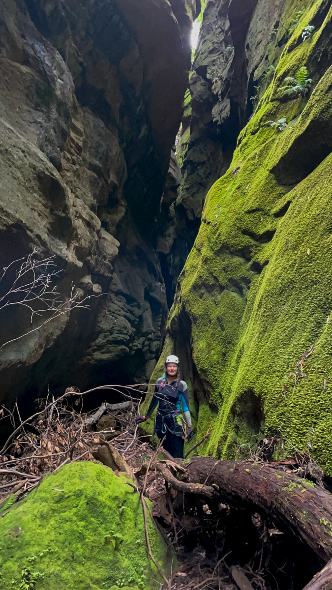
Looking down the last 10m didn’t look that sketchy. We attach a rope to a tree and Me and Jason descend to have a look. There is another drop. Straight over is a 15-20m vertical face. Around to the right looks to be a grade 10 chimney. We put the rope to the right.
Again we descend. Straight ahead from here drops onto a narrow ledge that doesn’t look to go anywhere. Left is a scrambling climb from a large ledge. We drop the rope to the left so its now in a big zig zag.
One party we spoke to put a longer rope straight down from the top tree and prusiked up the vertical face. In hindsight this is probably the best choice.
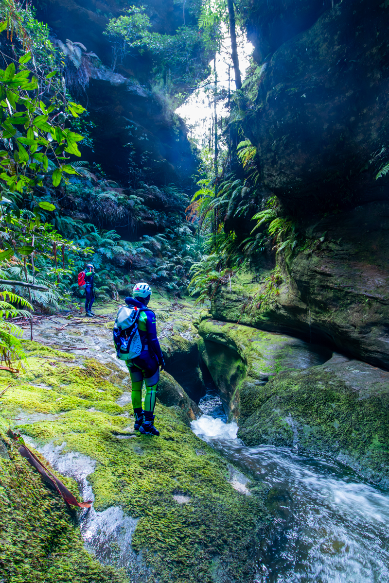
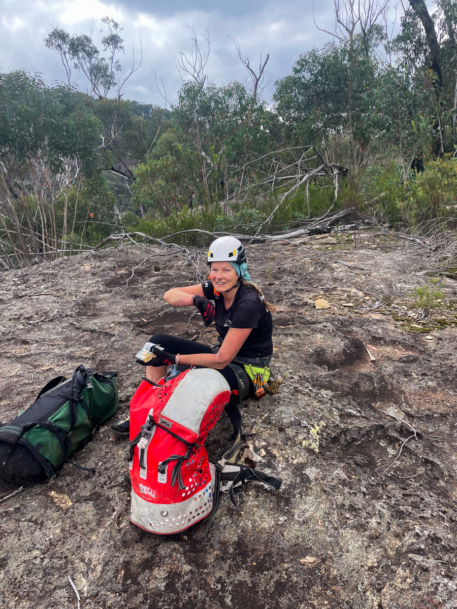
We head back up to where Kris has set up P1.
We go over our plans and Dave leads down P1 to grab photos and Kylie follows to set up and control P2.
I head down next and lead P2 to set P3.
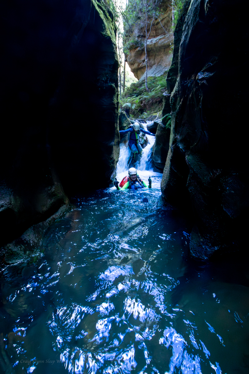
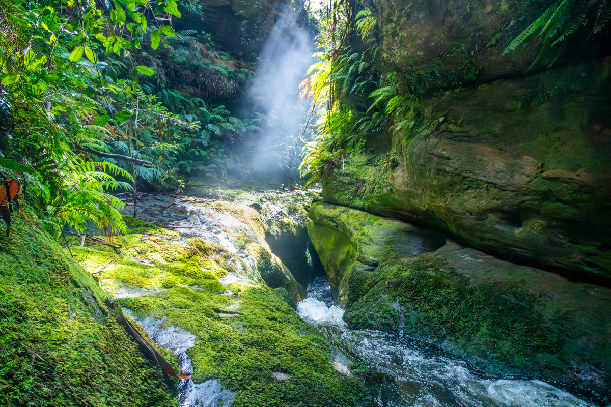
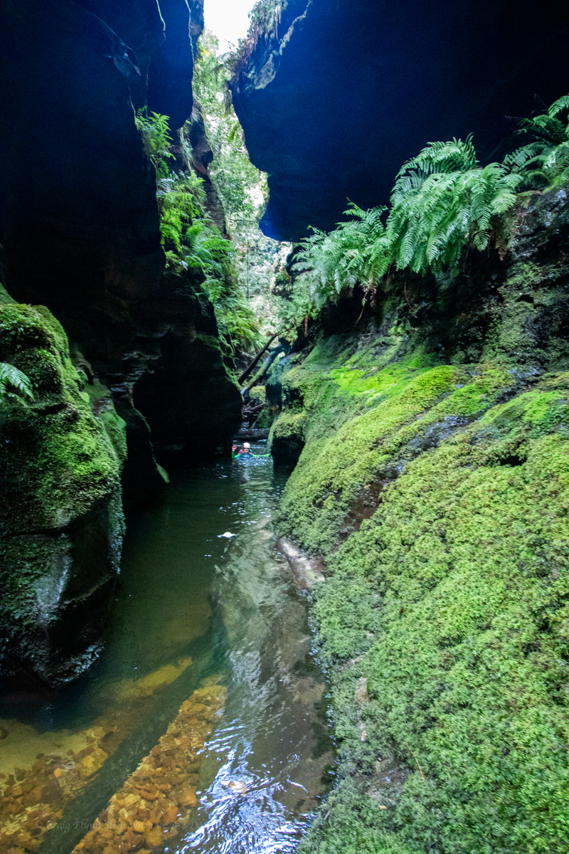
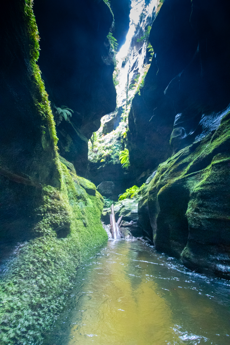
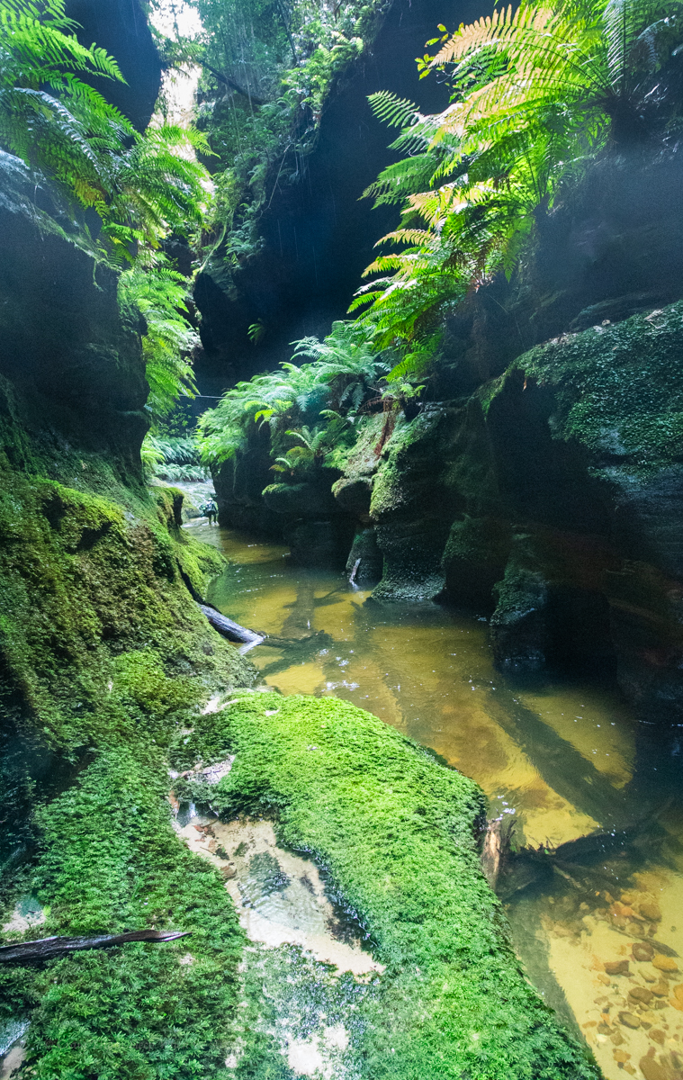
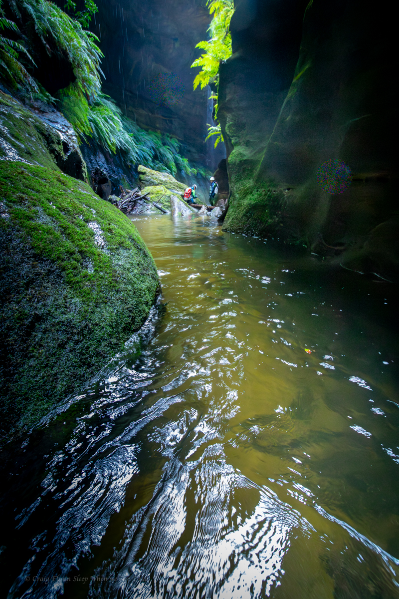
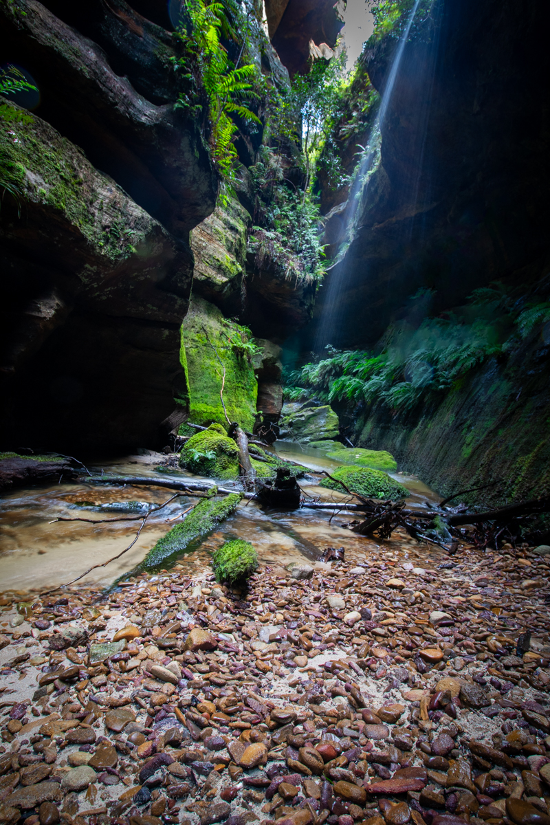
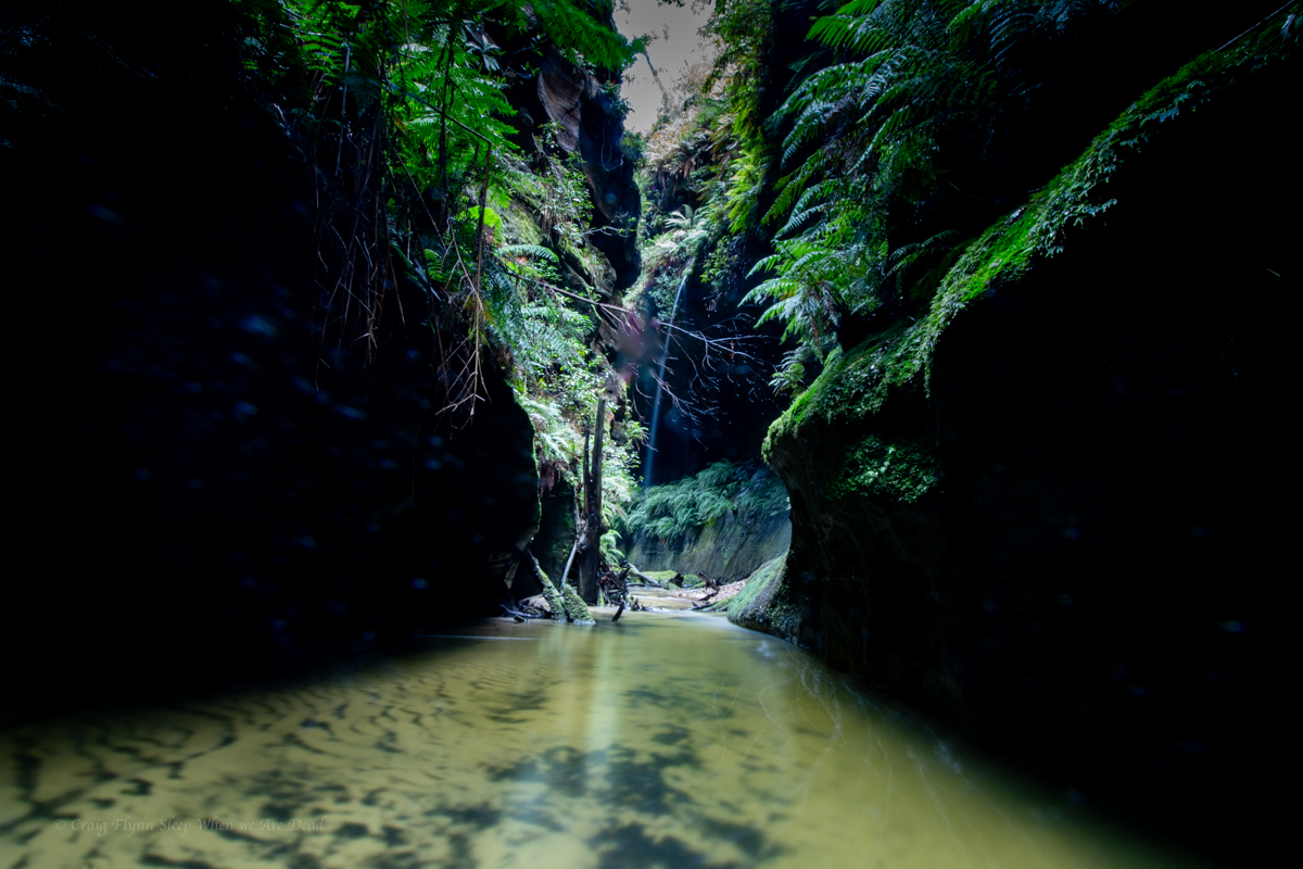
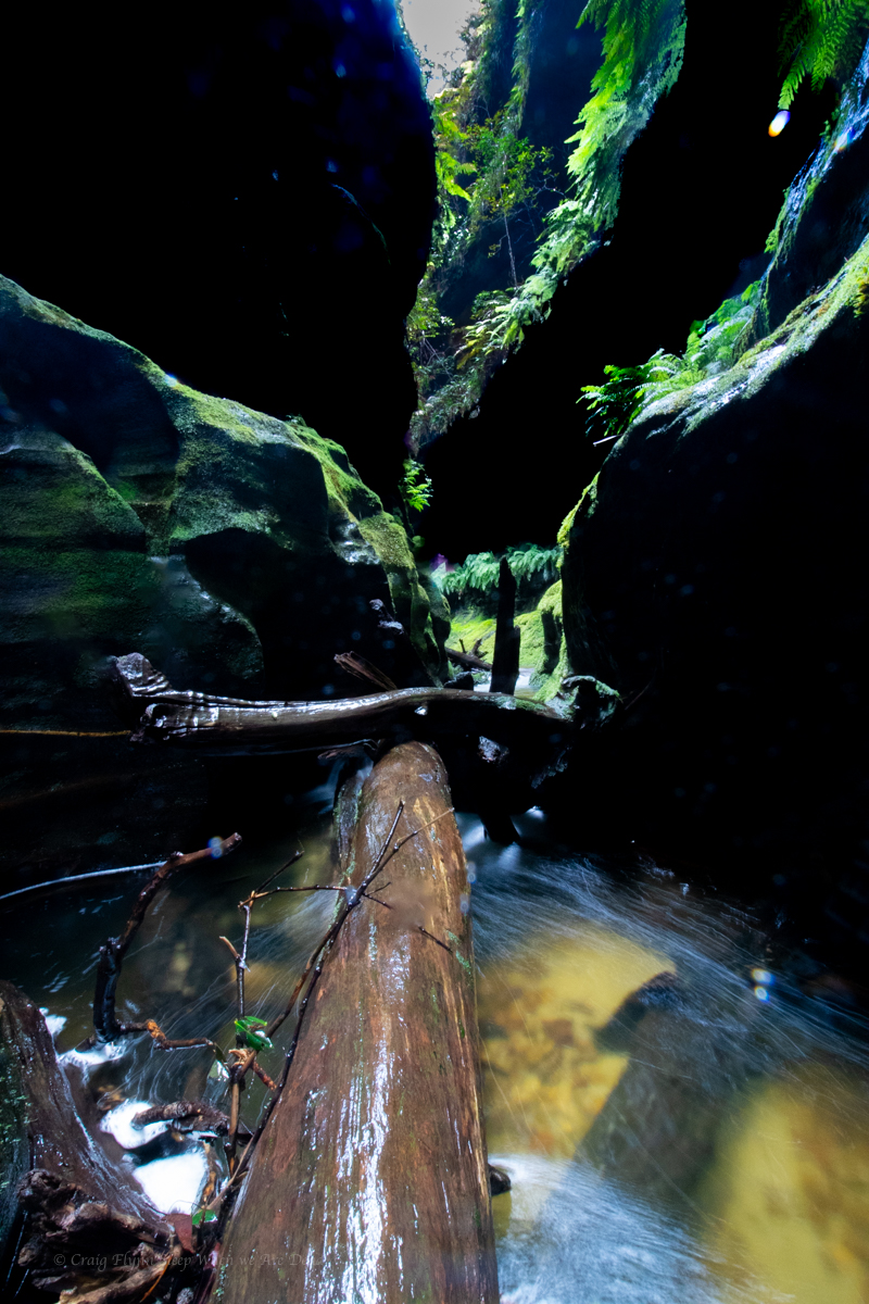
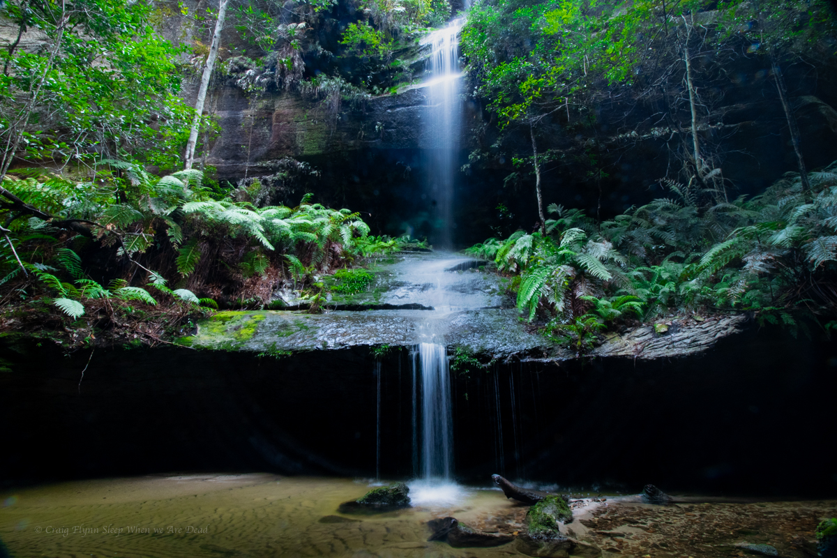
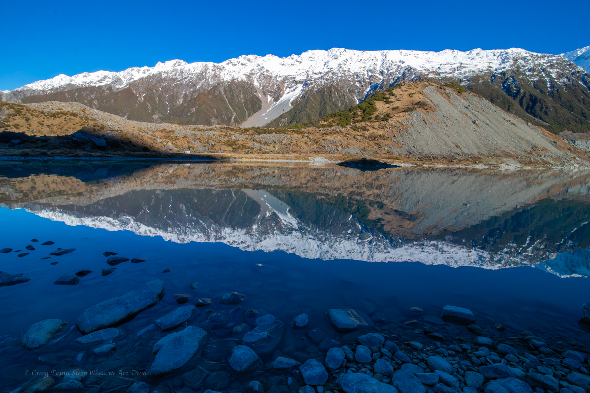
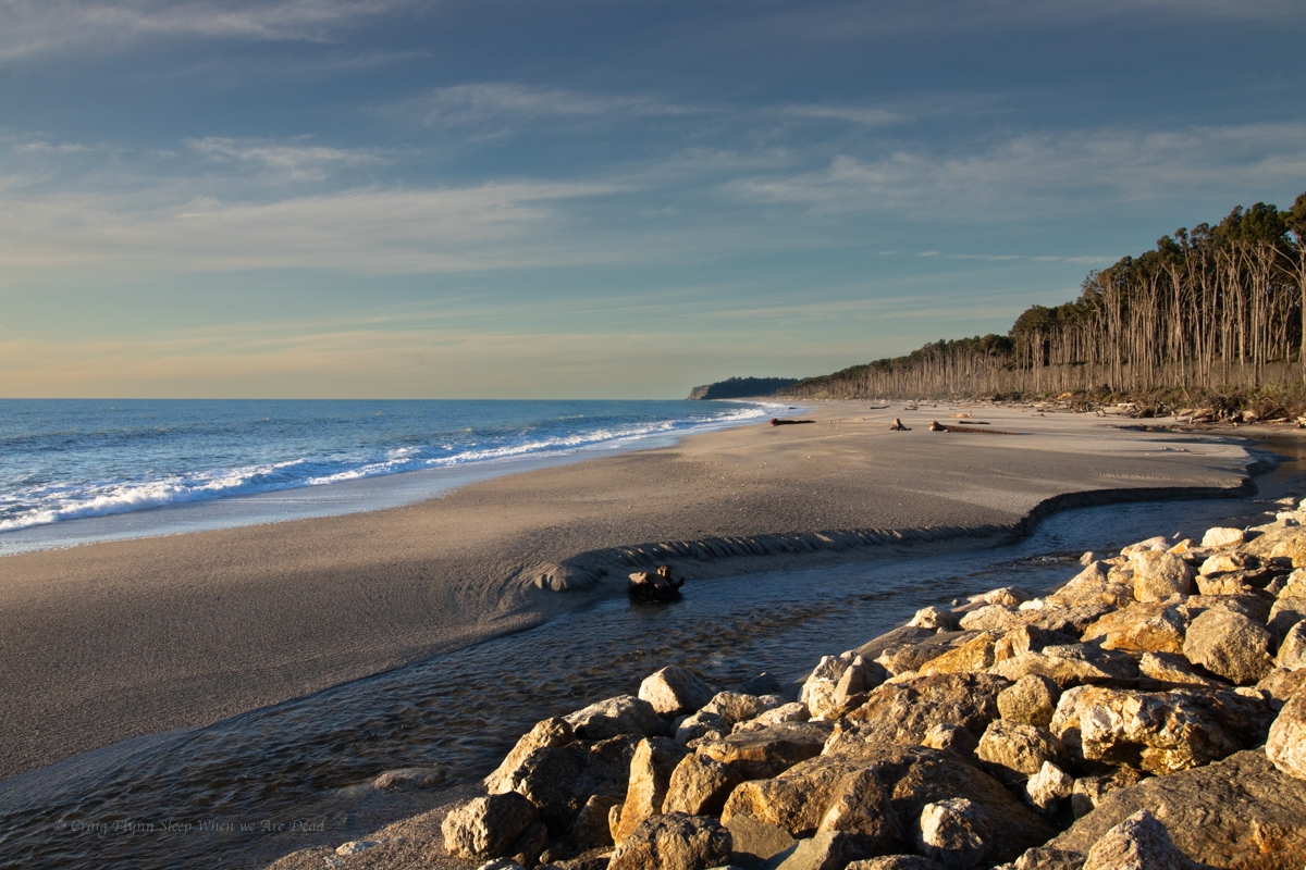
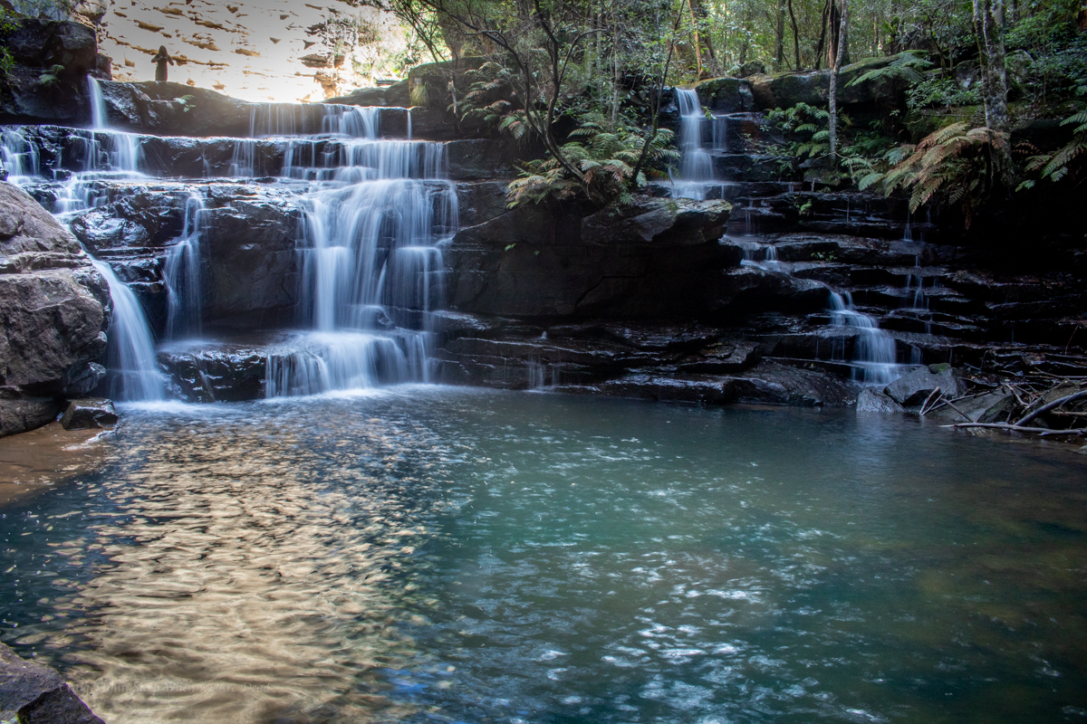
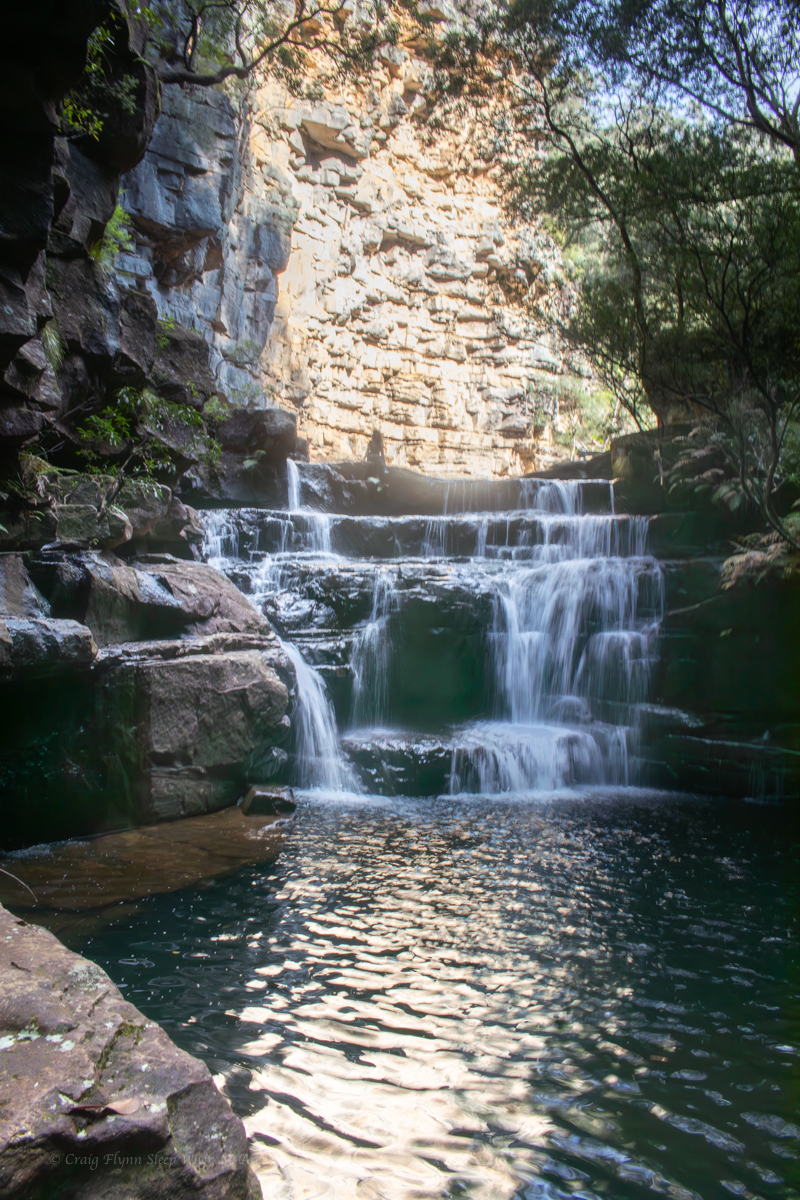
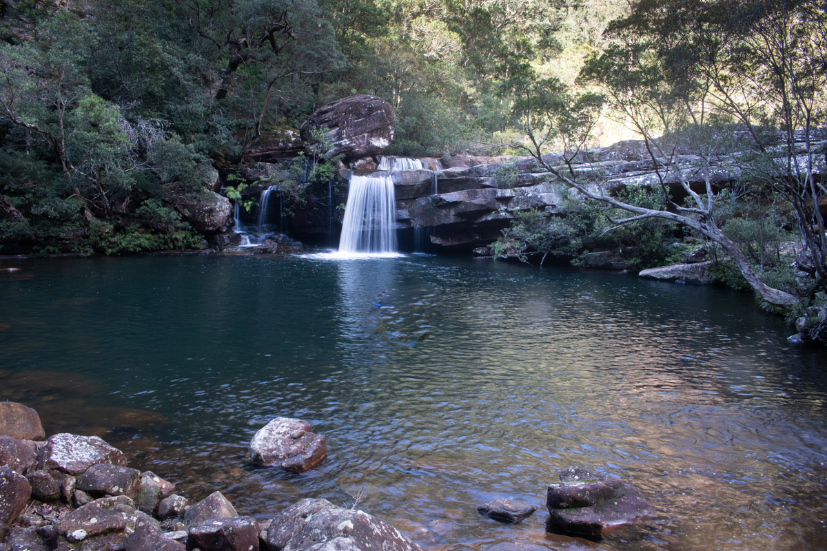
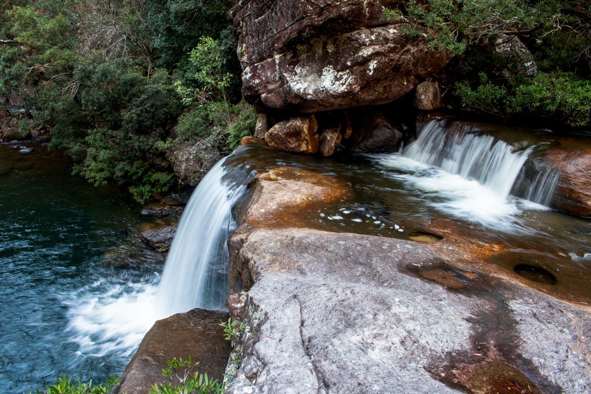
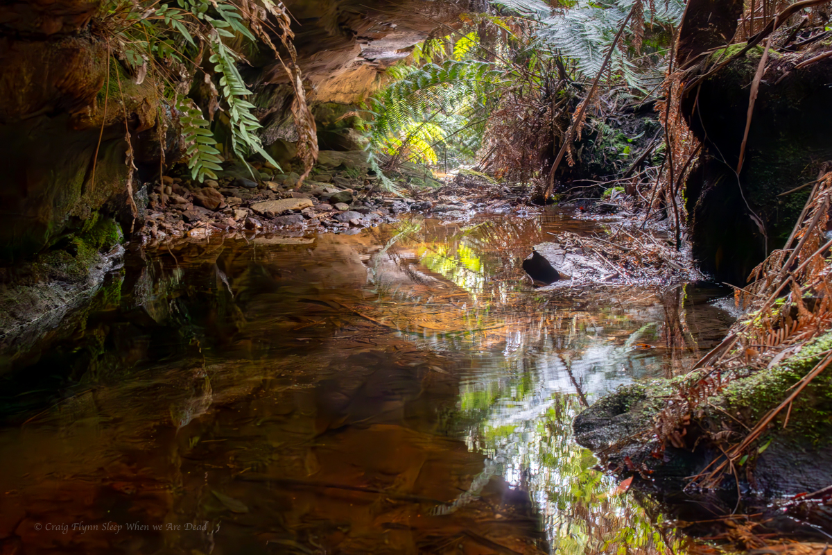
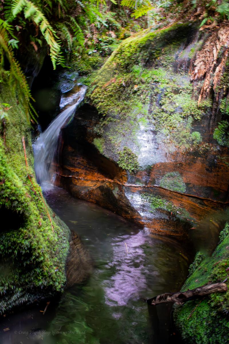
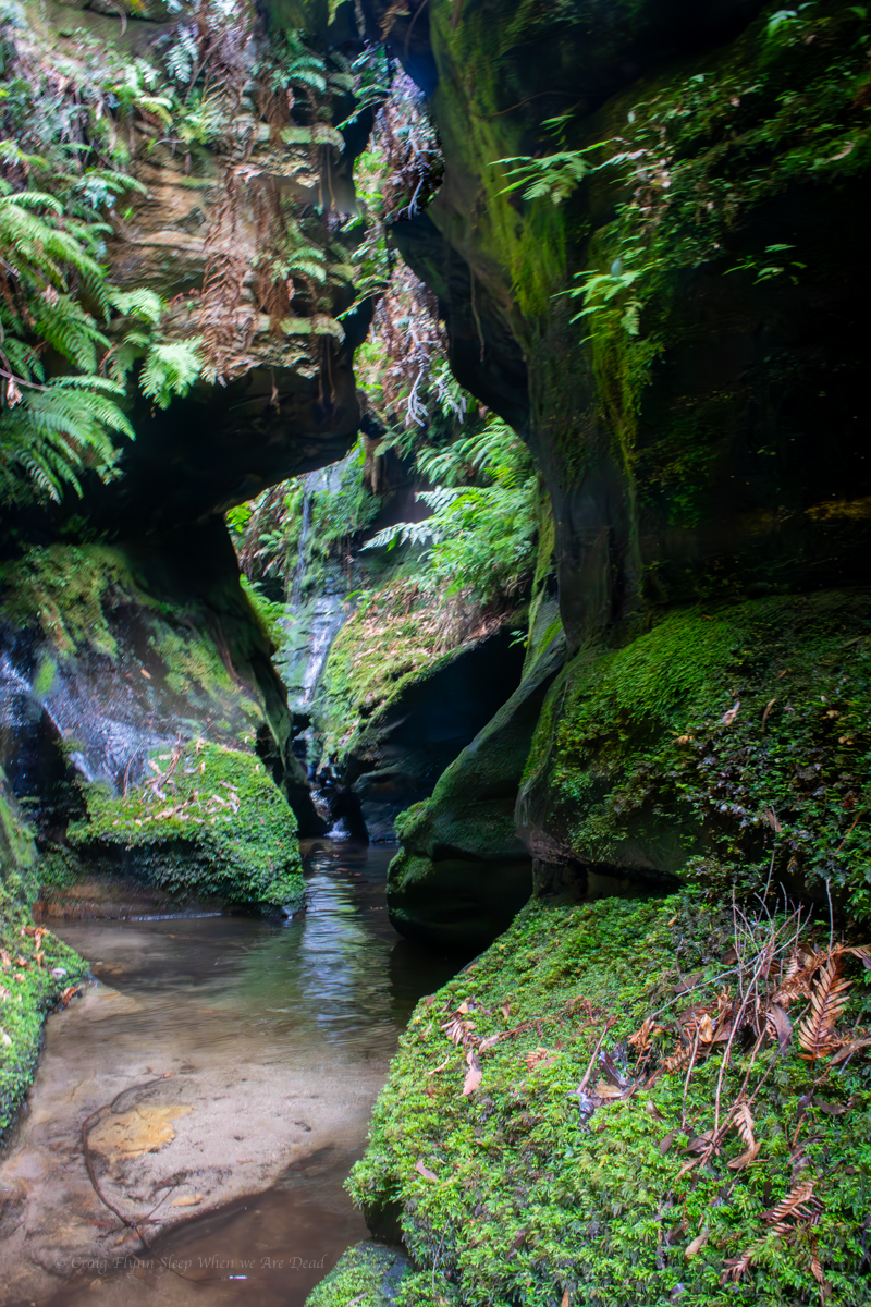
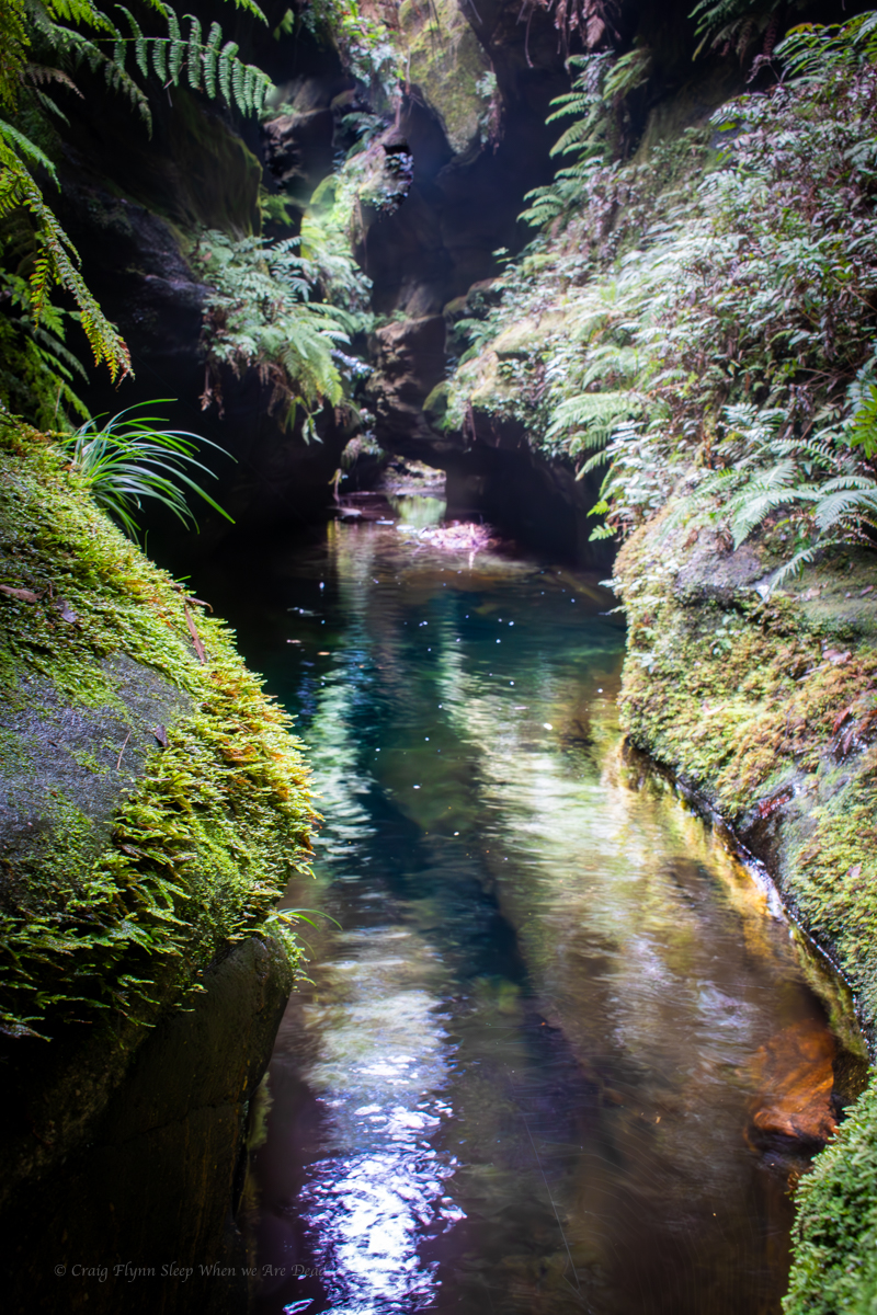
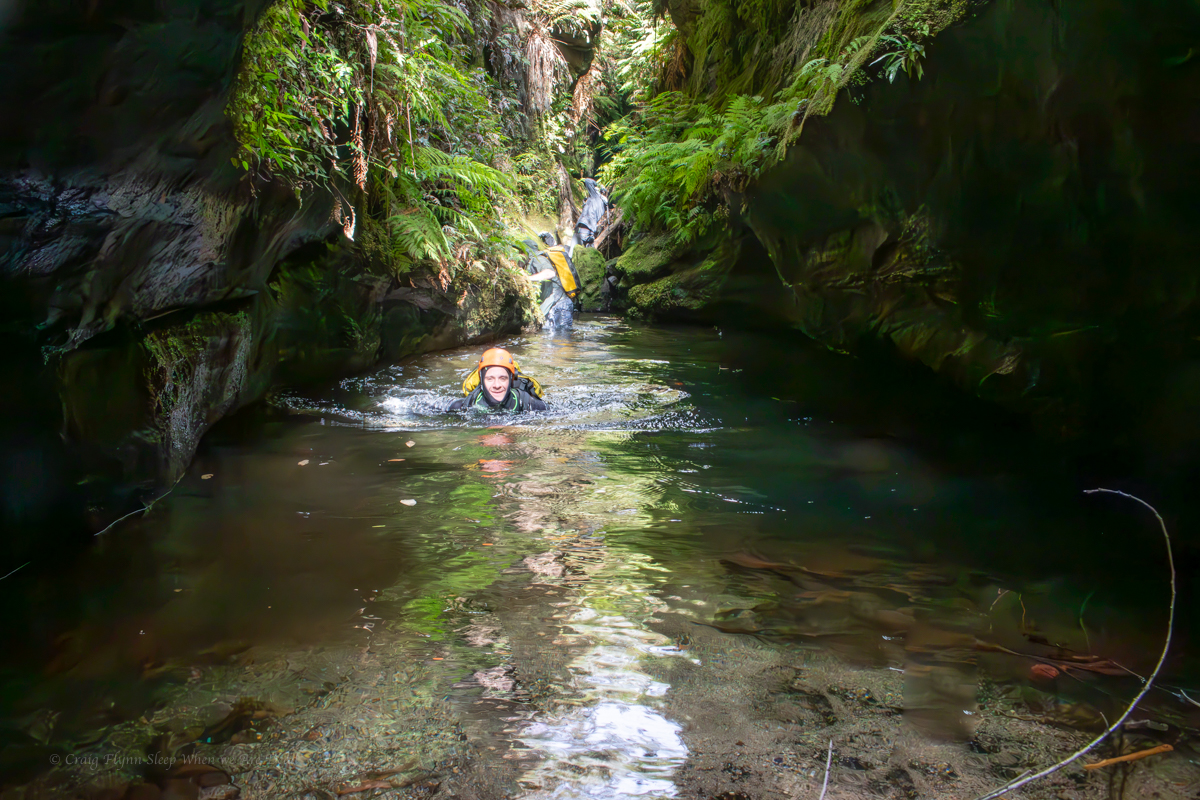
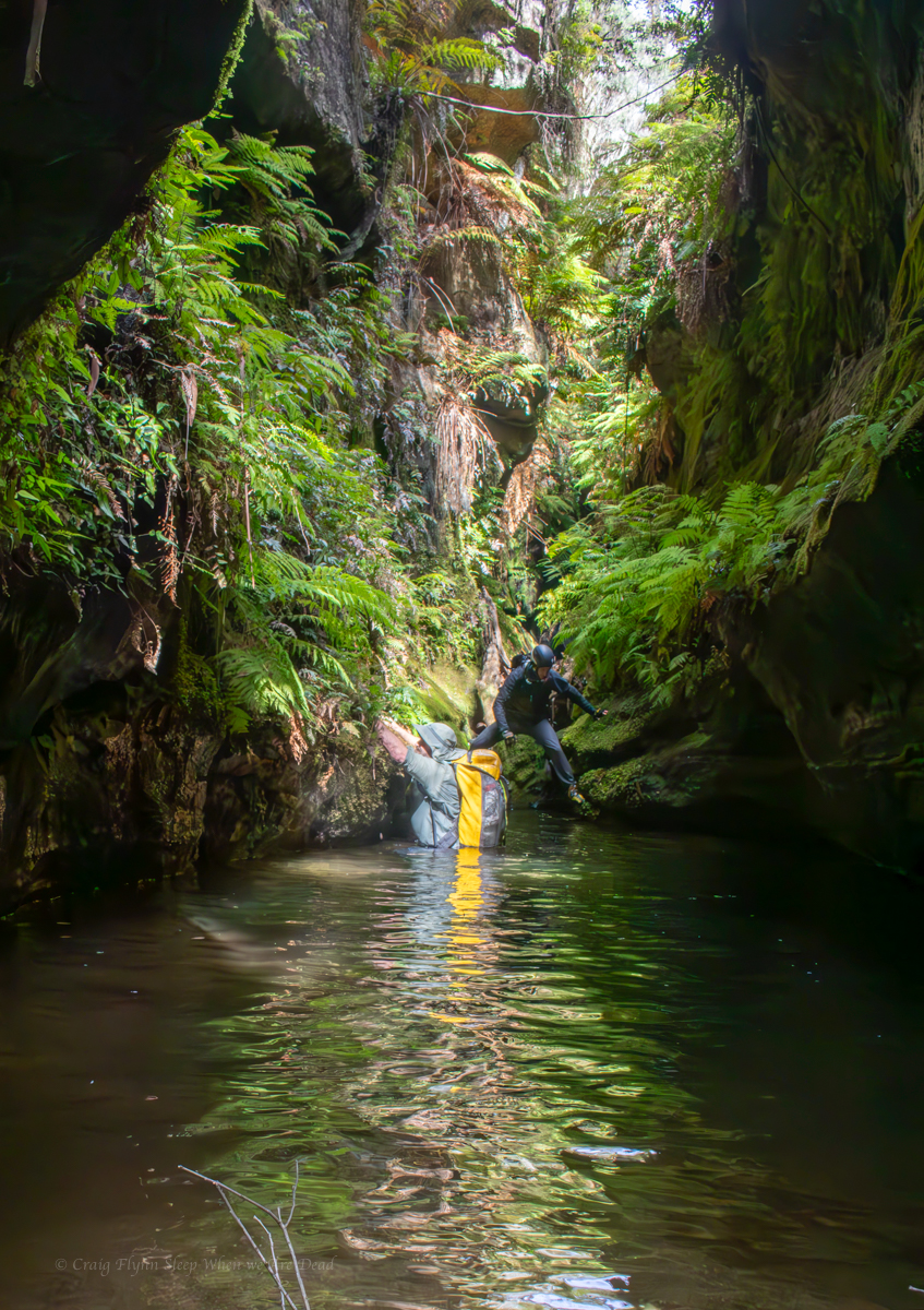
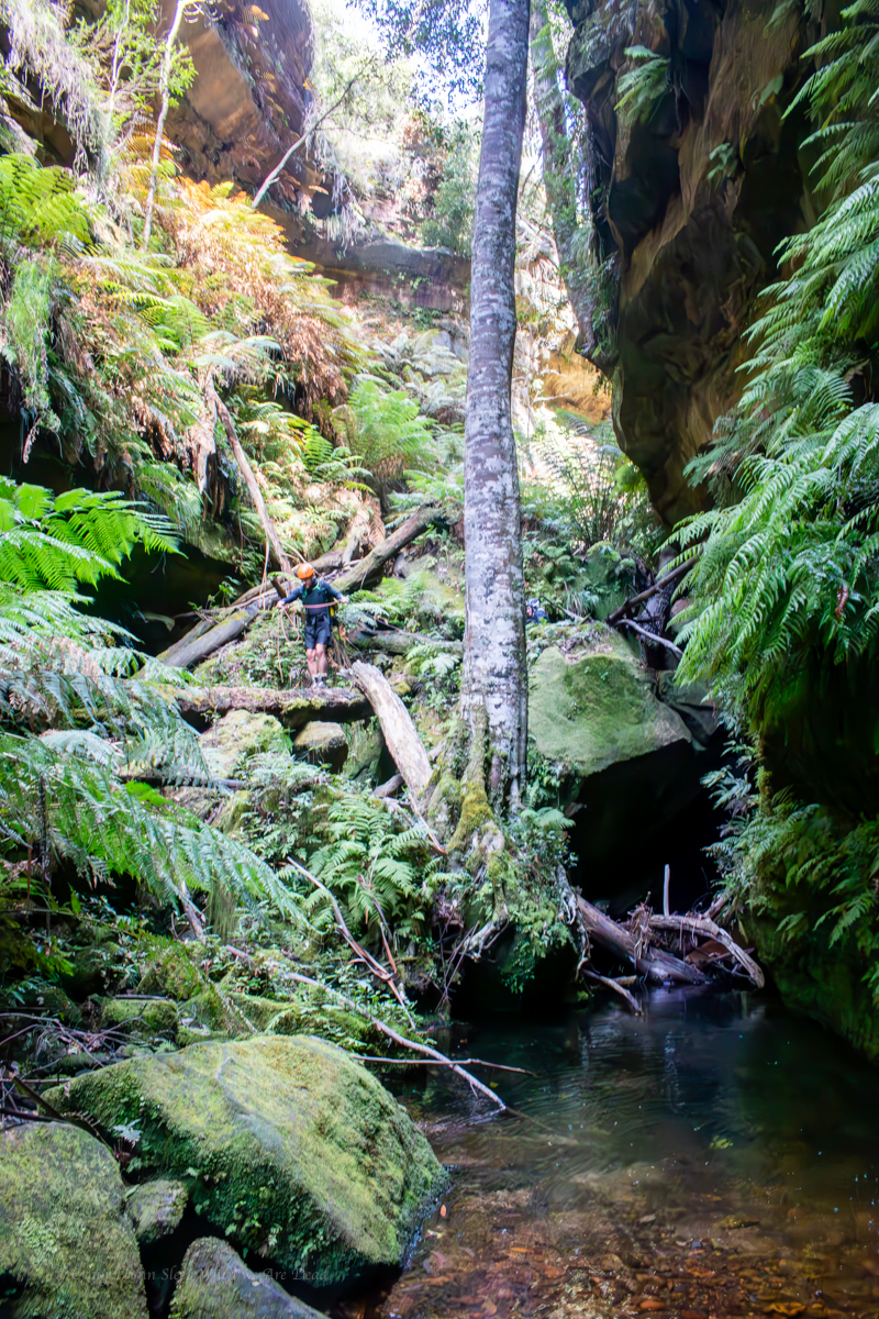
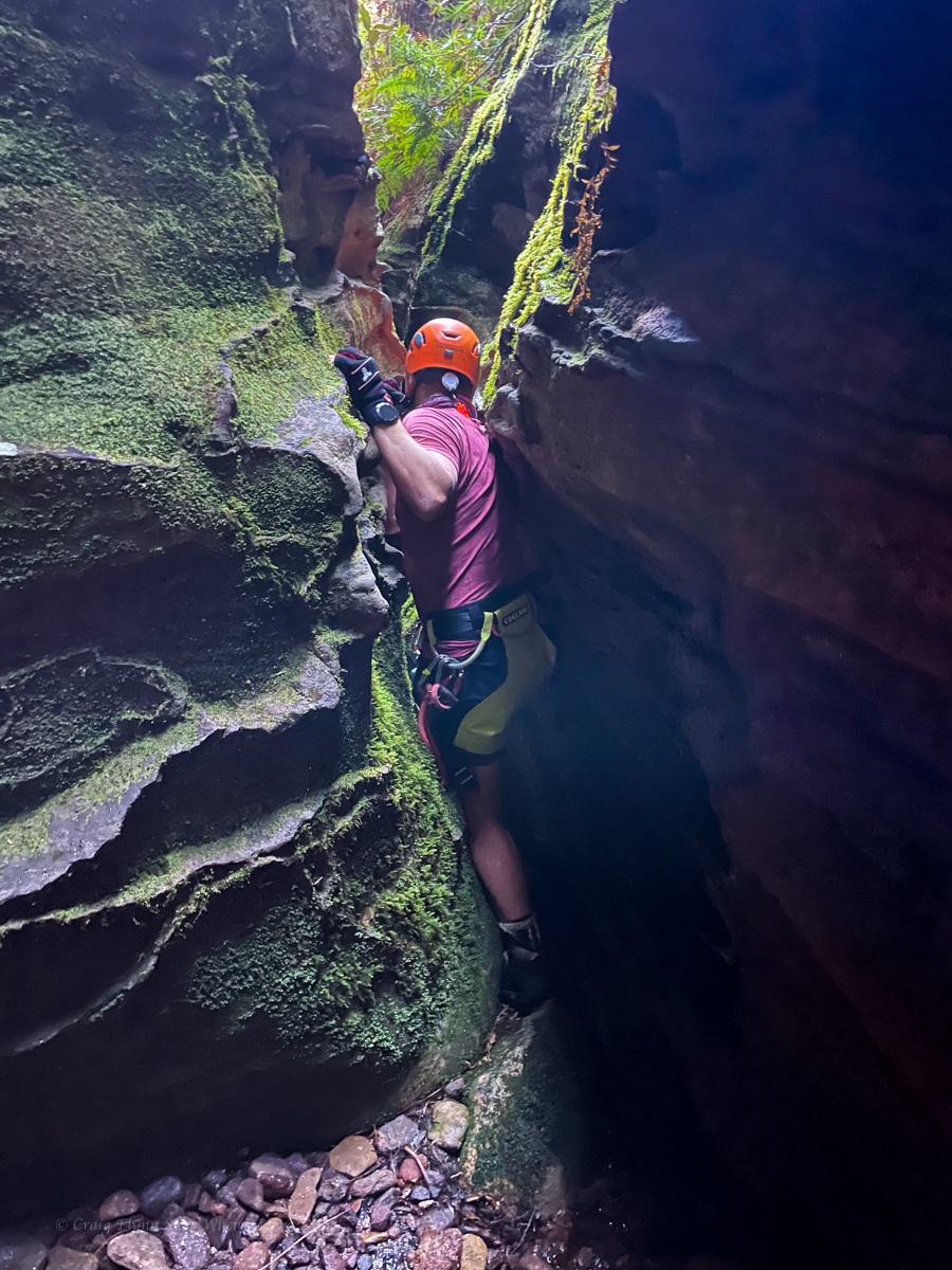
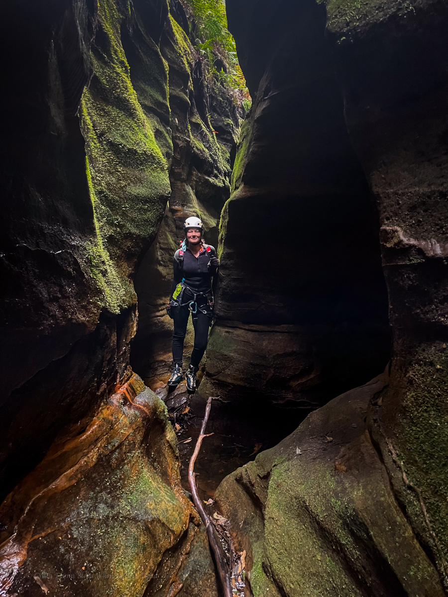
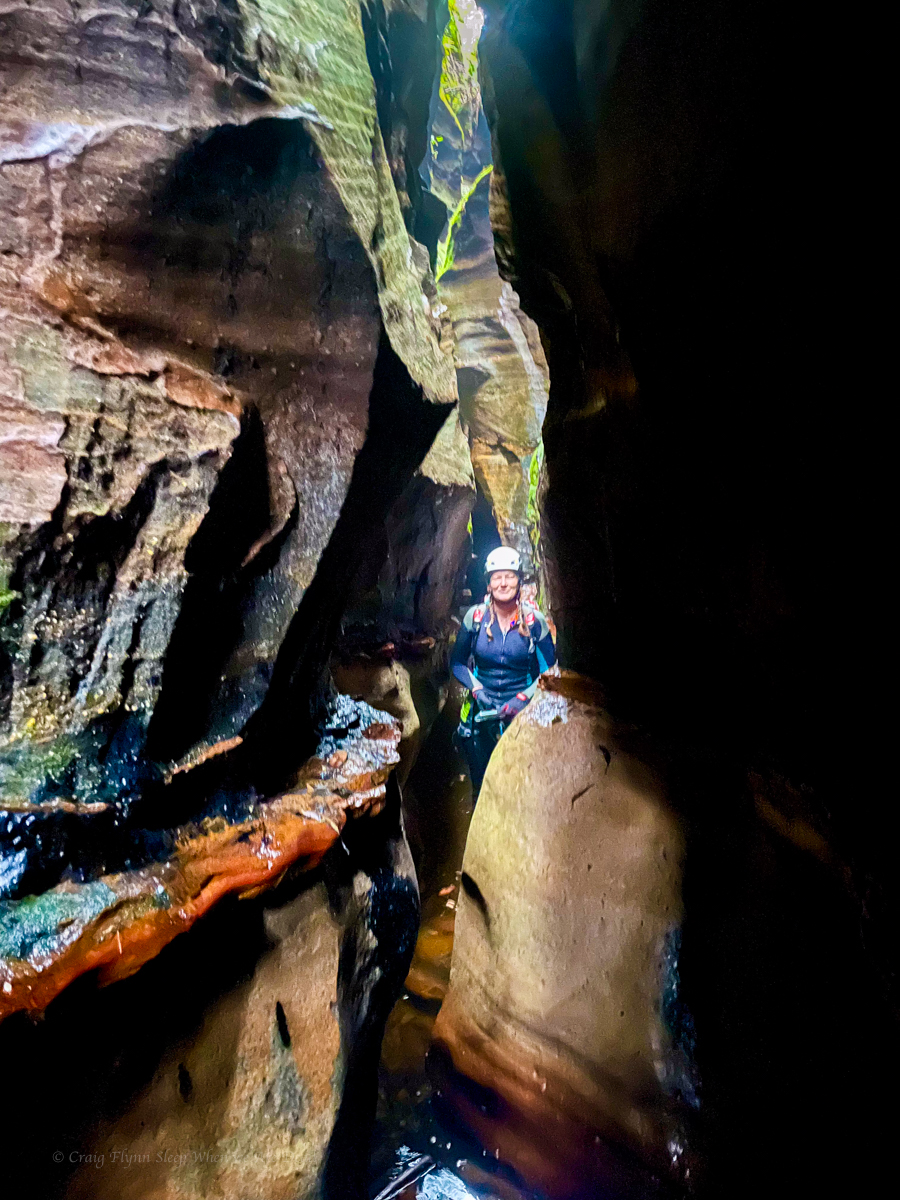
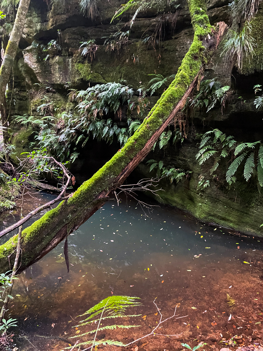
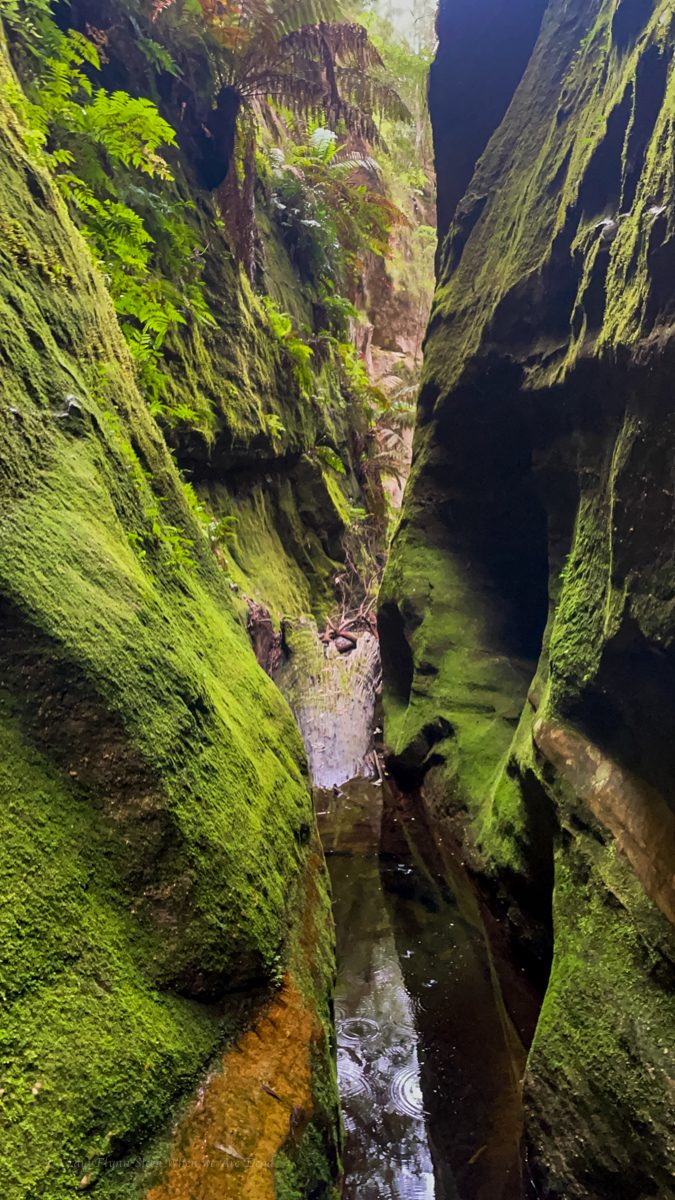
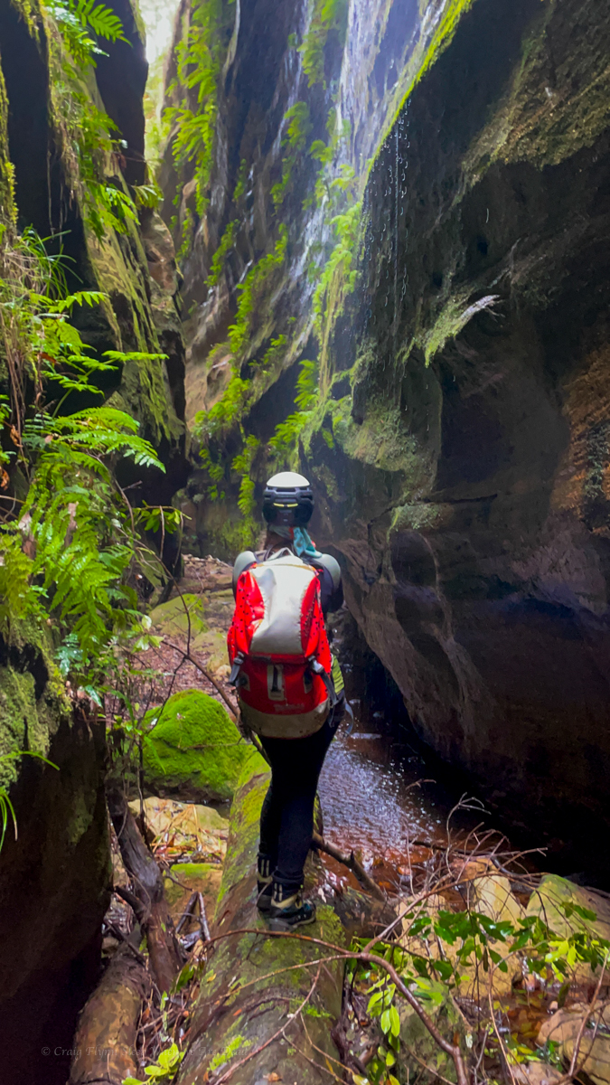
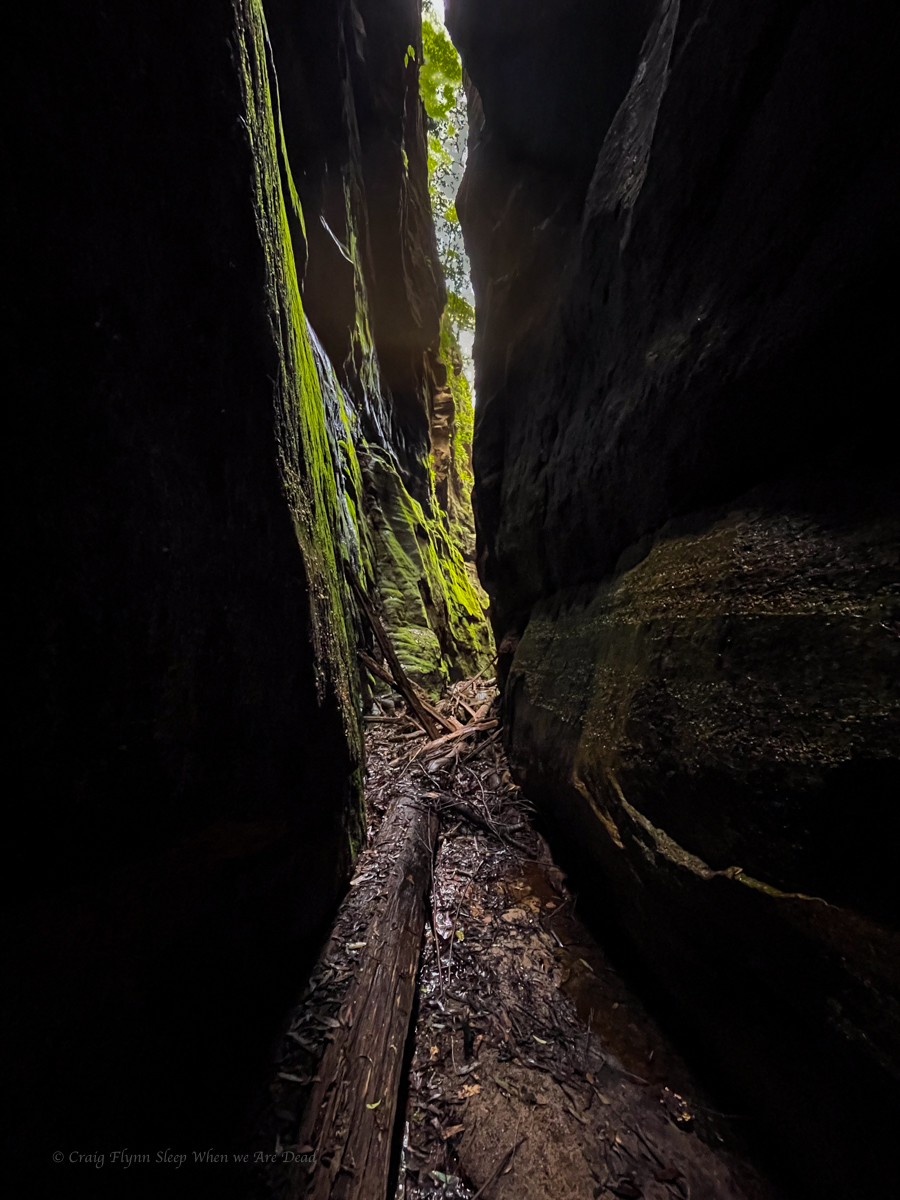
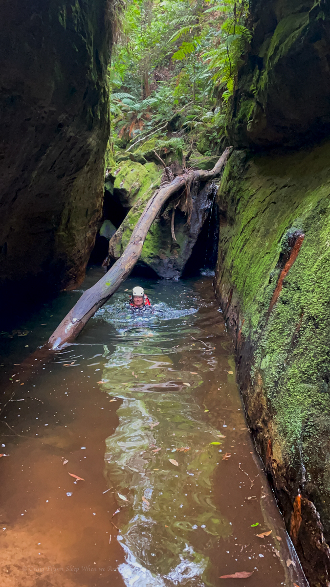
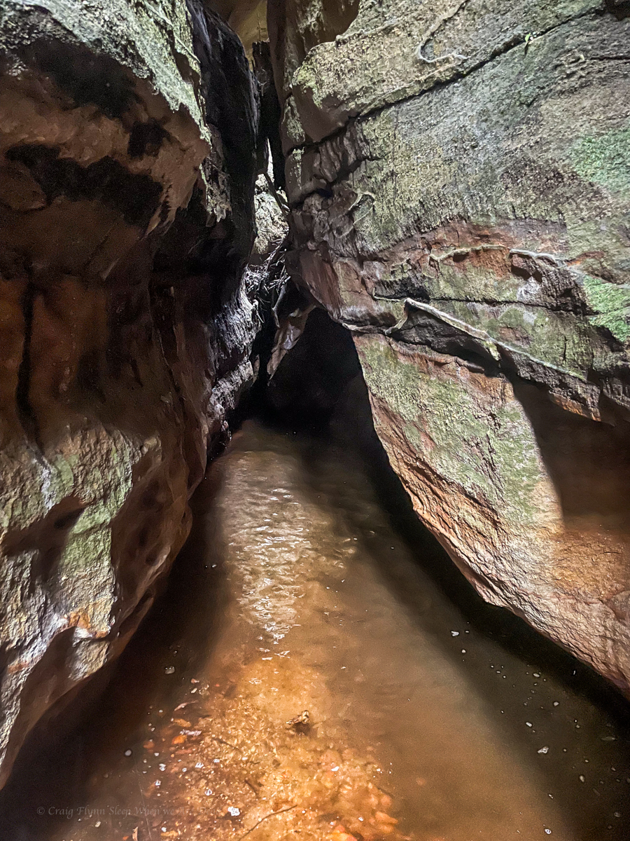
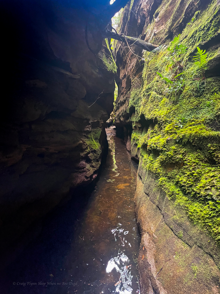
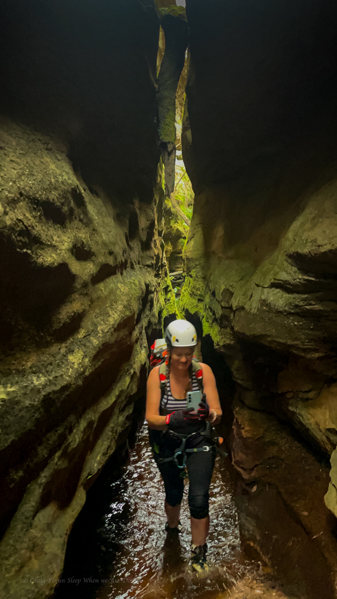
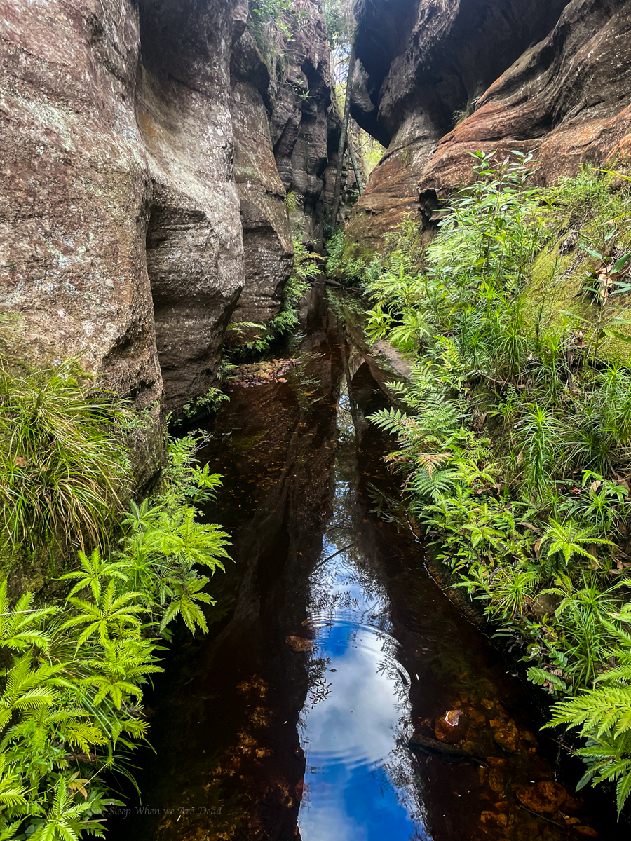
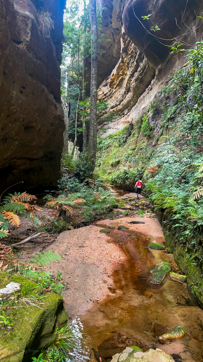
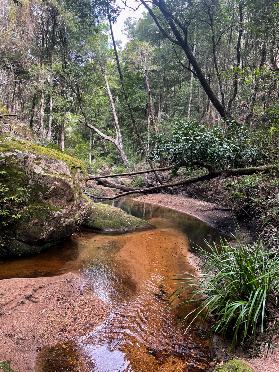
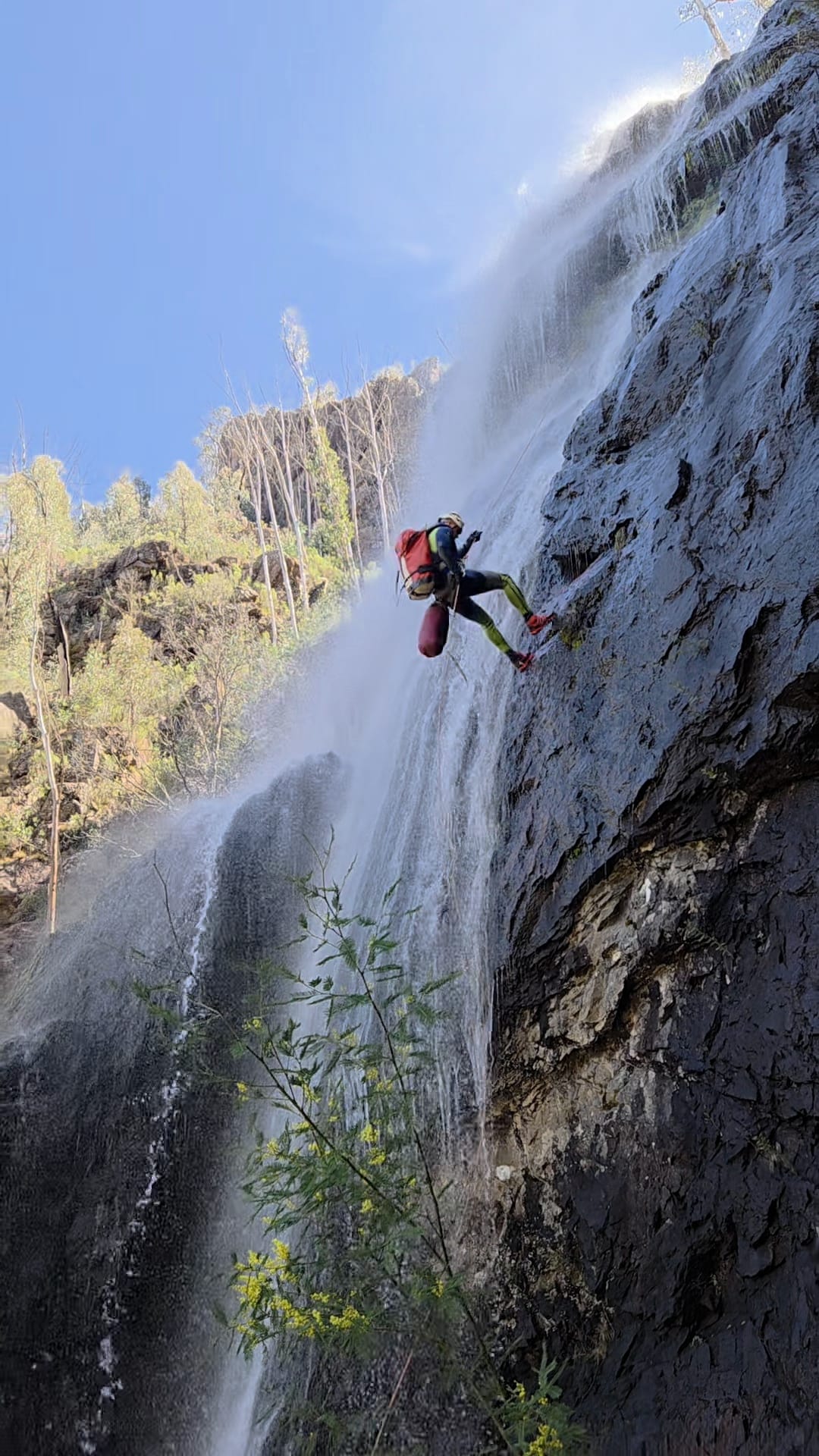
The descent itself is action packed, 6 abseils one after the other, at most there is a small swim between them. At these water levels you are either in the flow or crossing the flow on all of them.
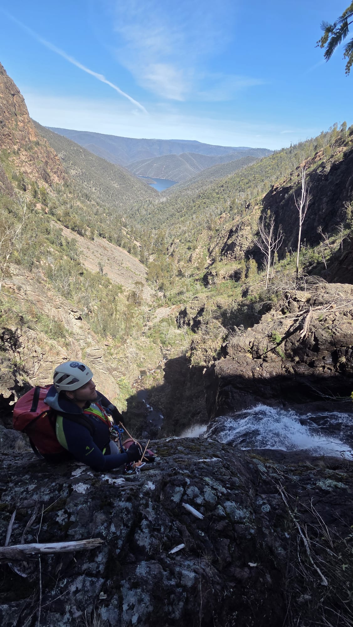
The first 3 pitches are the easiest and we regroup at the base of P3.
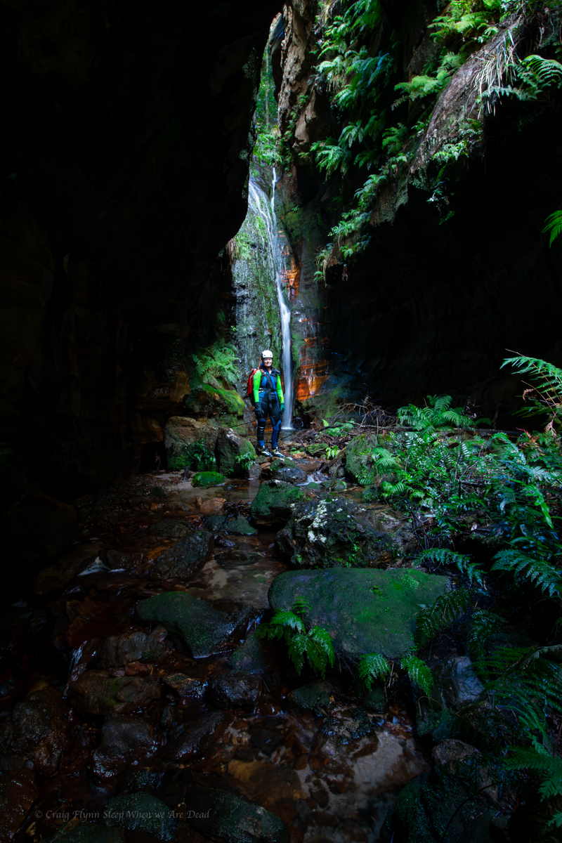
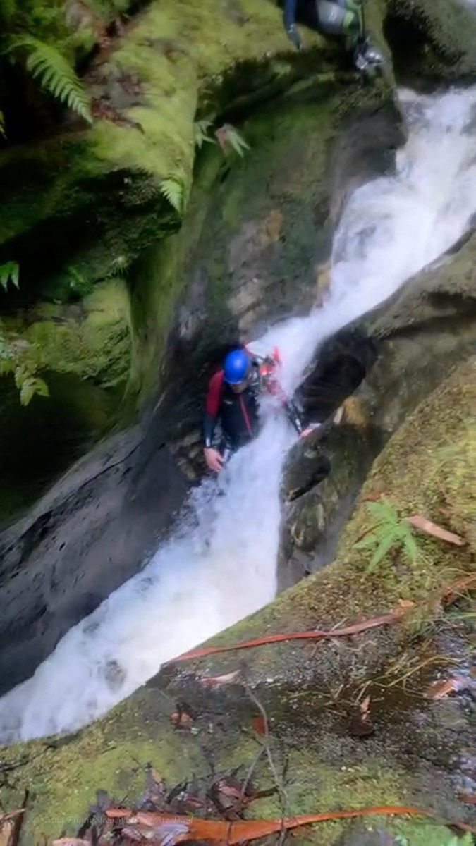
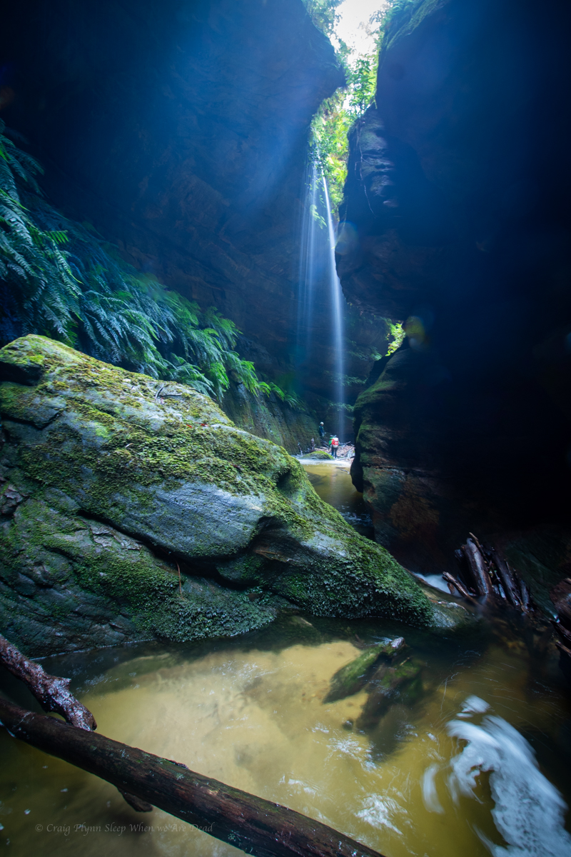
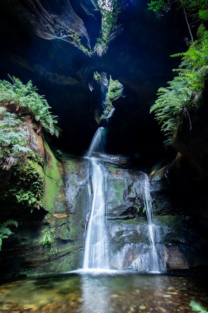
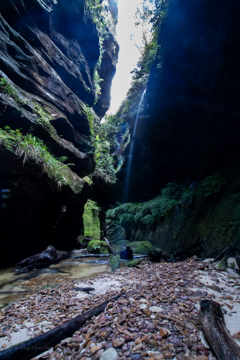
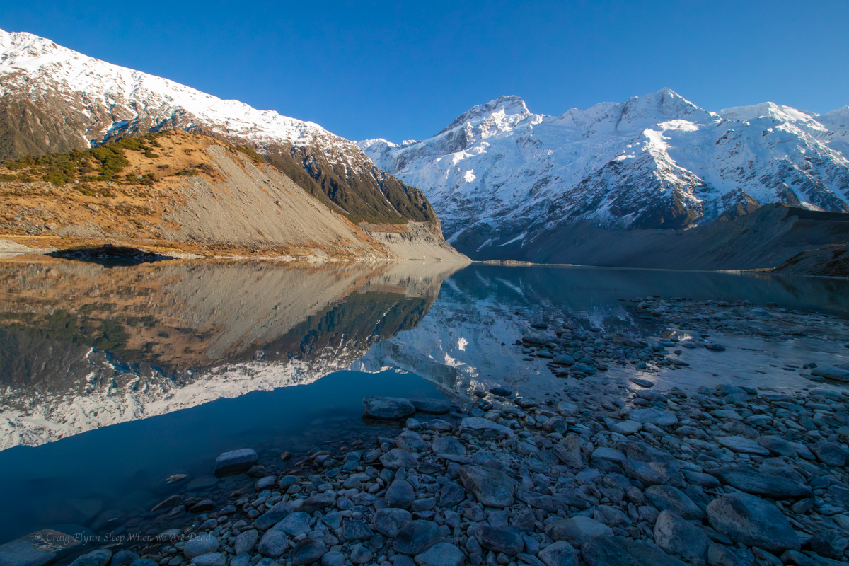
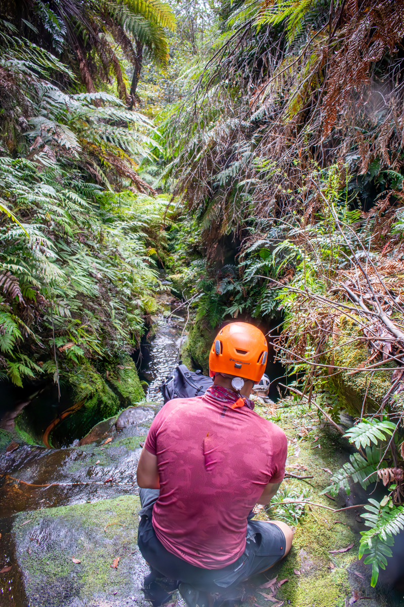
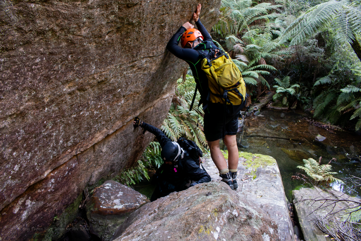
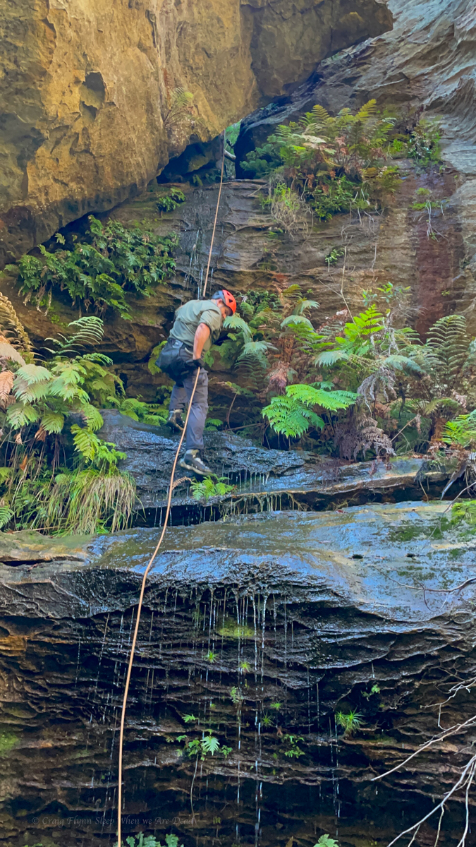
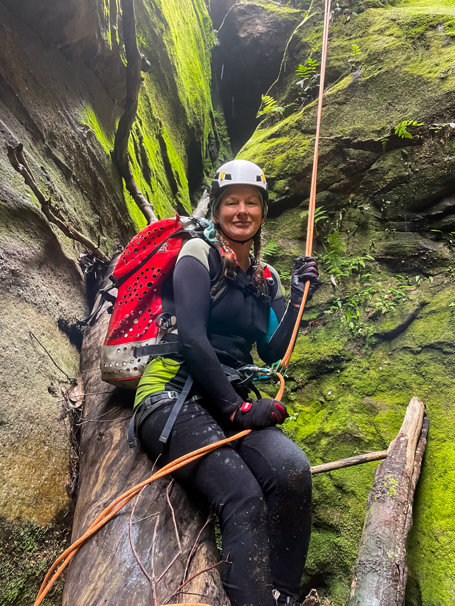
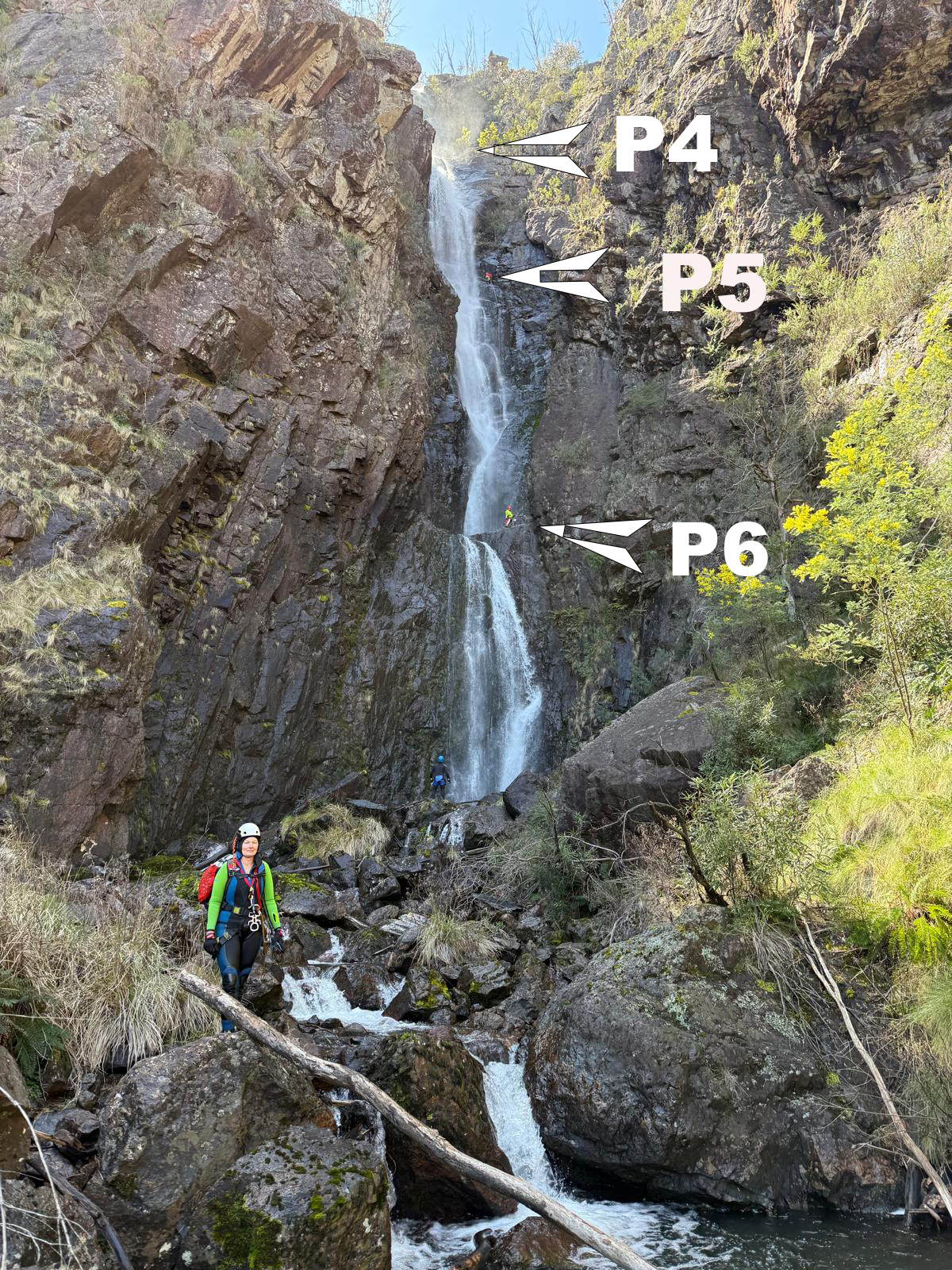
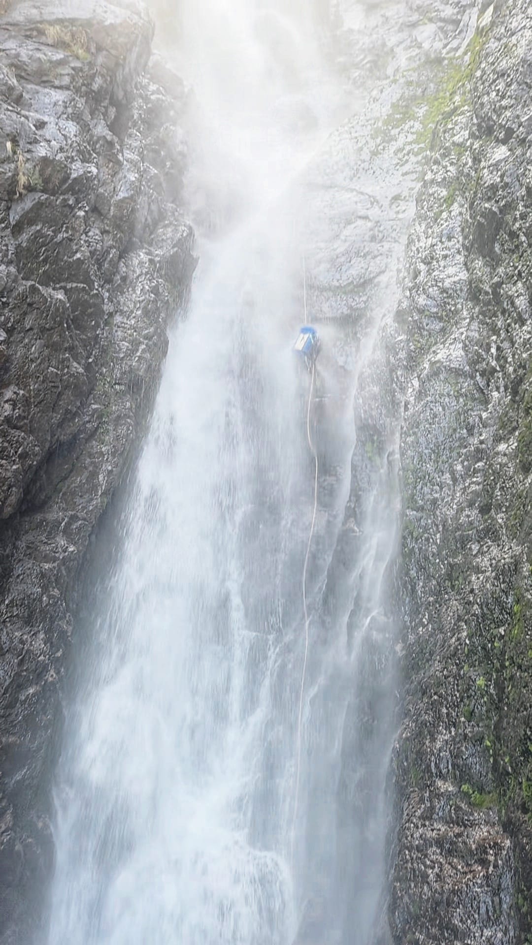
Top anchors were all good but with few repeat trips and snow melt we brought gear to replace things if needed. P4 drops to a narrow, semi handing belay above the 45m P5 money pitch. The plan is for Jason to go first with anchor gear, just in case, and a short rope for P6, and get himself safe. Then for me to follow with the long rope for P5. We had discussed leap frogging anchor duties to avoid 1 person exposed to the chill but the water, while cold, wasn’t as bad as expected.
Jason signals that the anchors are good. I descend and replace him on anchor. The rest follow.
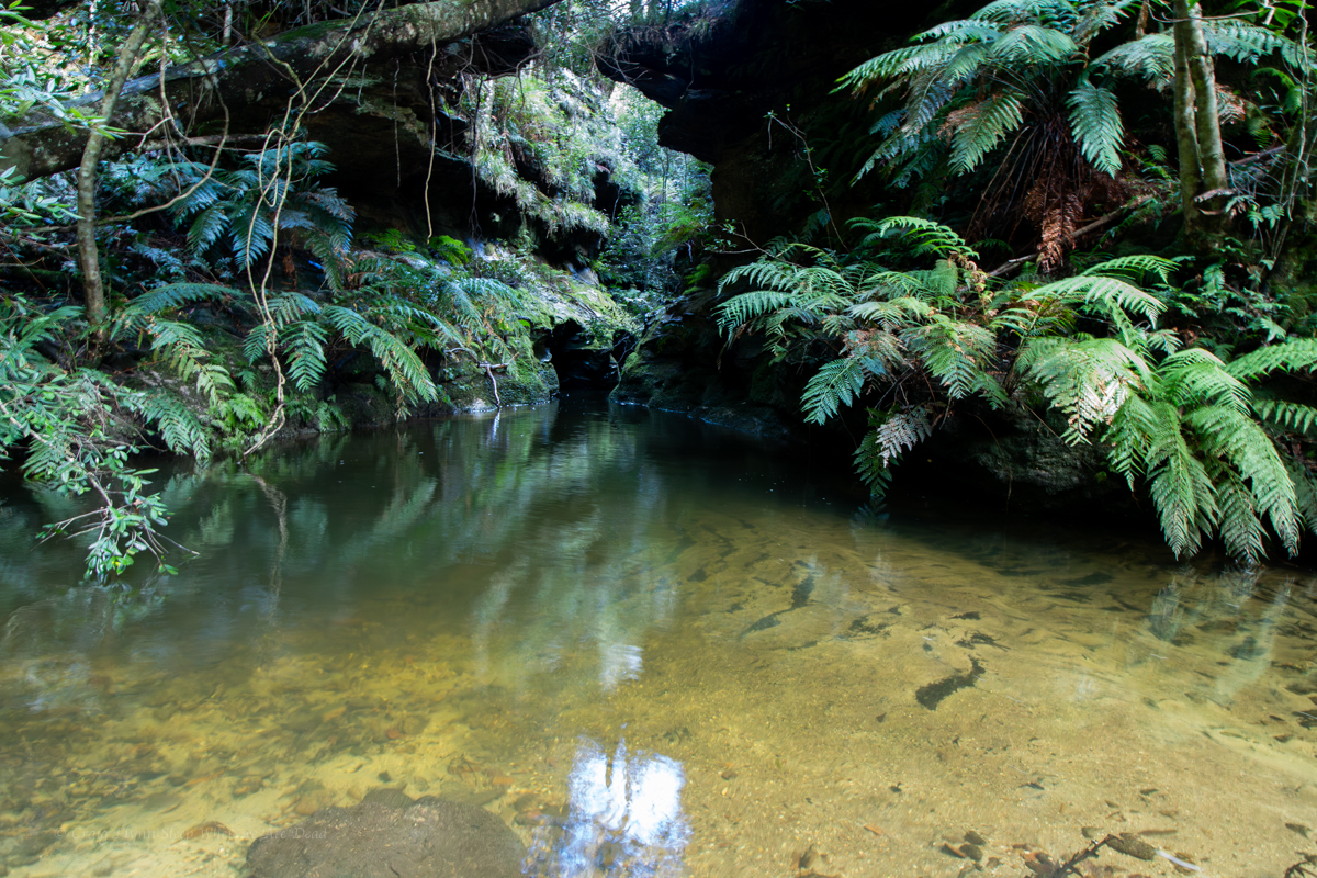
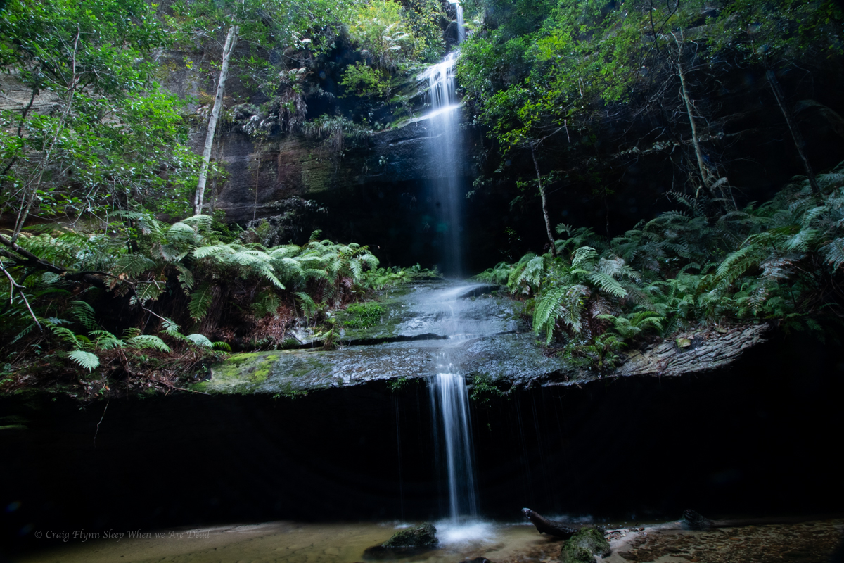
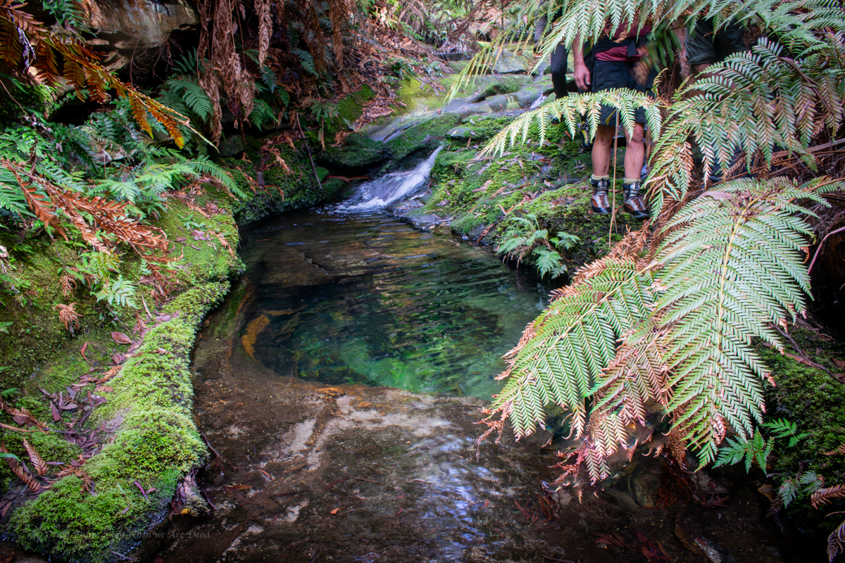
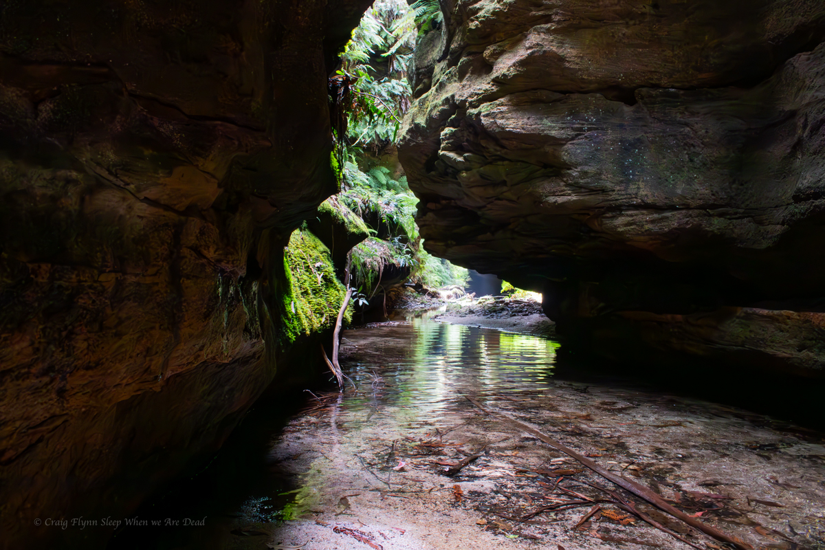
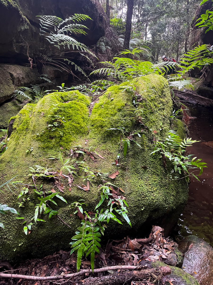
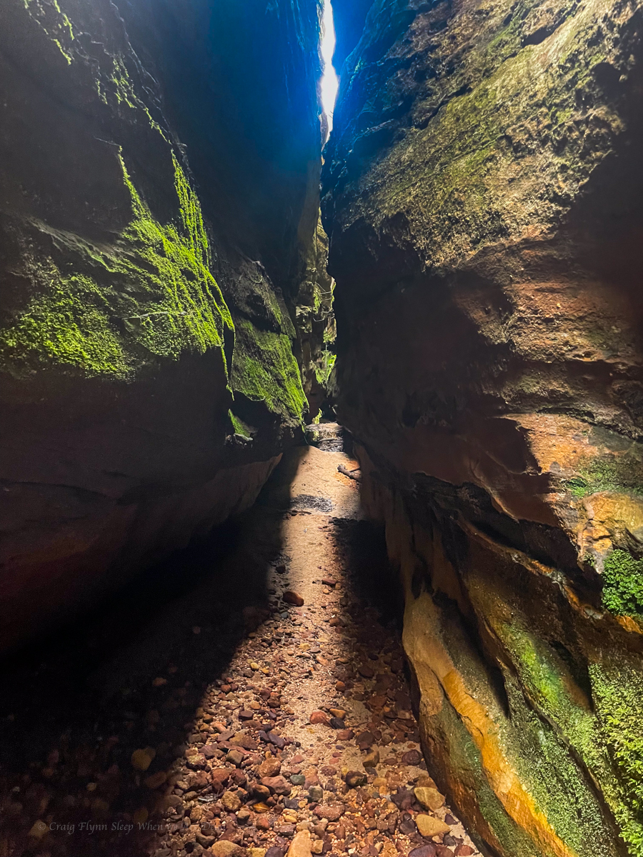
The bottom 3 pitches are fantastic, well they all are but the bottom 3 especially.
Despite what I said earlier about water temps, I ain’t going to lie. Even with a spray jacket I was bloody cold by the time I got to the bottom of P6.
All pull downs were simple and hassle free for us, potentially with long ropes you could combine pitch 4 and 5 though the guides say there are lots of nubs and cracks that ropes could get jammed in so that may not be the best idea. These cracks are also a foot entrapment risk so take care.
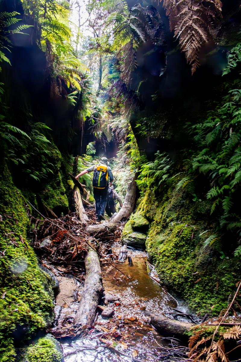
All that was left now was to haul arse back up.
45min.
They said
It will be fun.
They said.
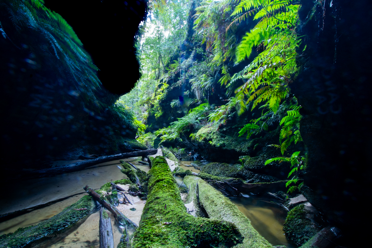
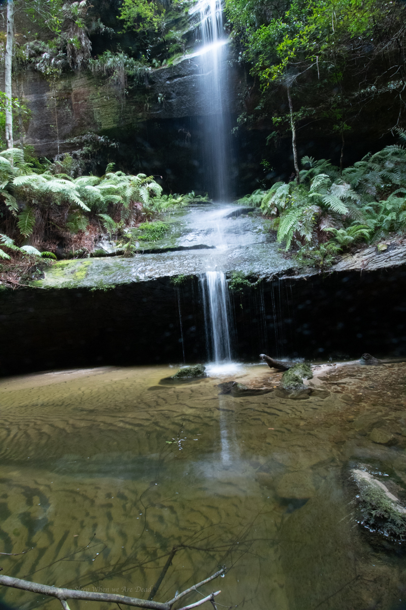
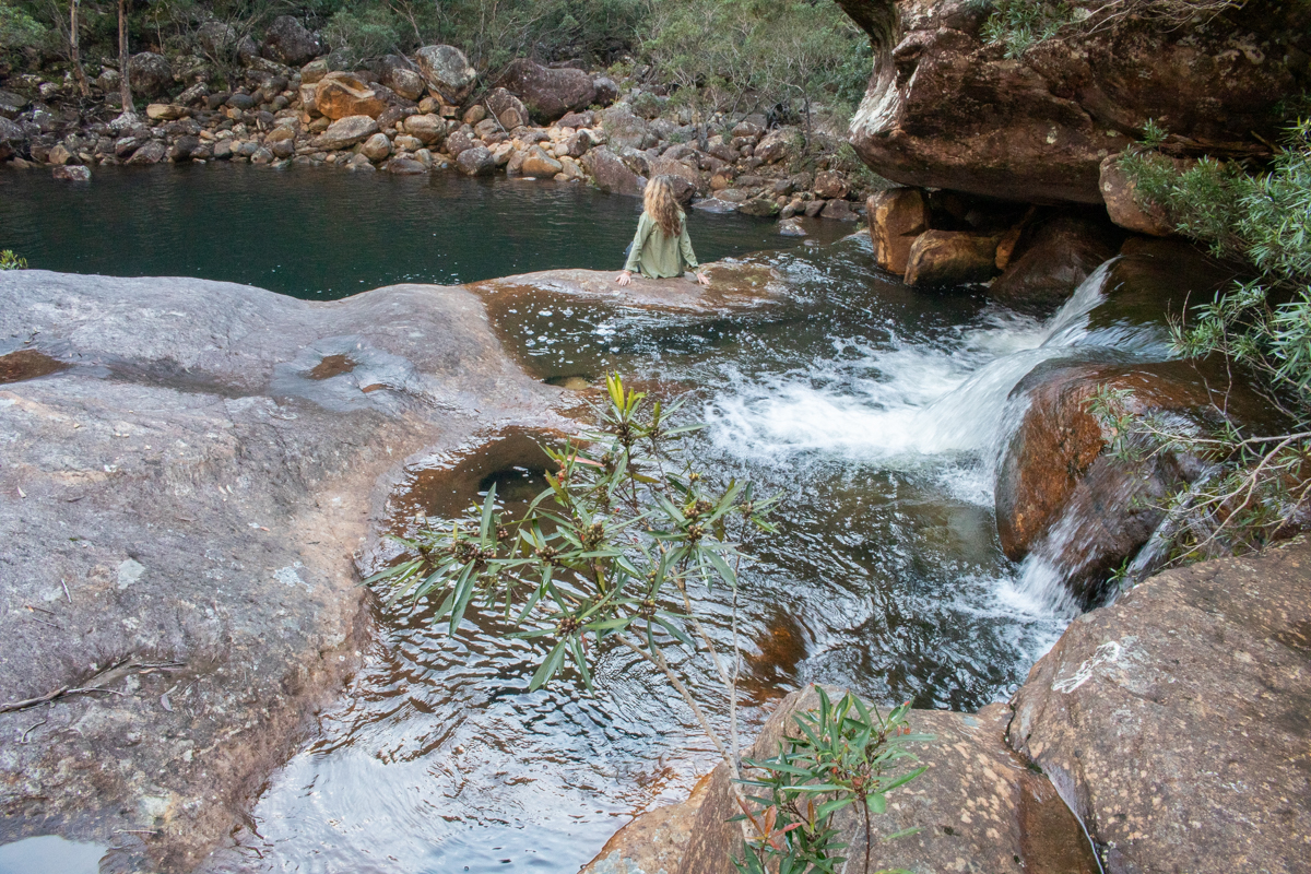
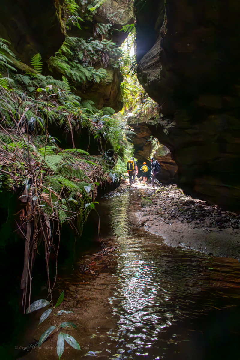
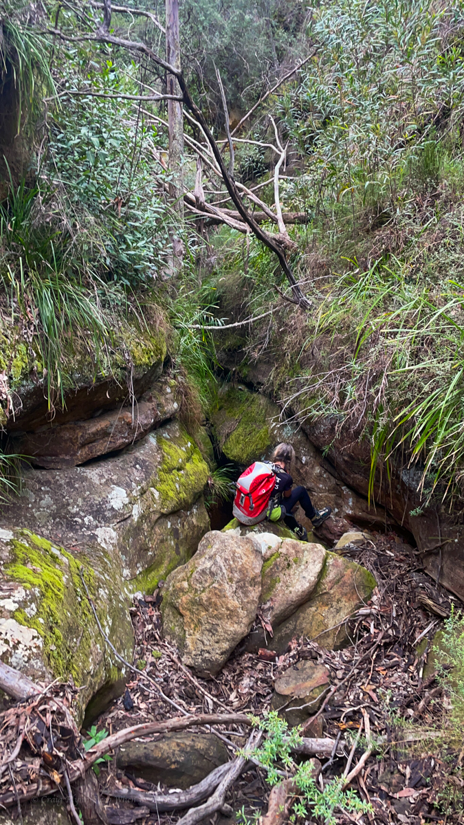
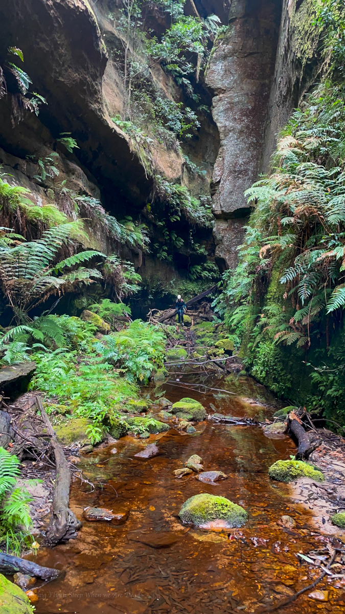
Climb out as soon as the steep cliffs allow, is a bit vague. 50m down stream of the waterfall. Was more helpful.
We were about 50m down stream. A slabby corner crack looked scramblable. Scoping from the other side on creek, braving the scree slope of death Kylie spies and easy spur another 10m down though.
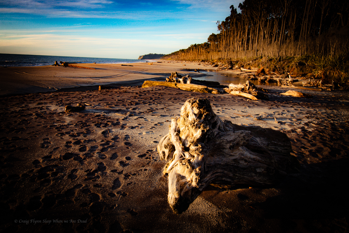
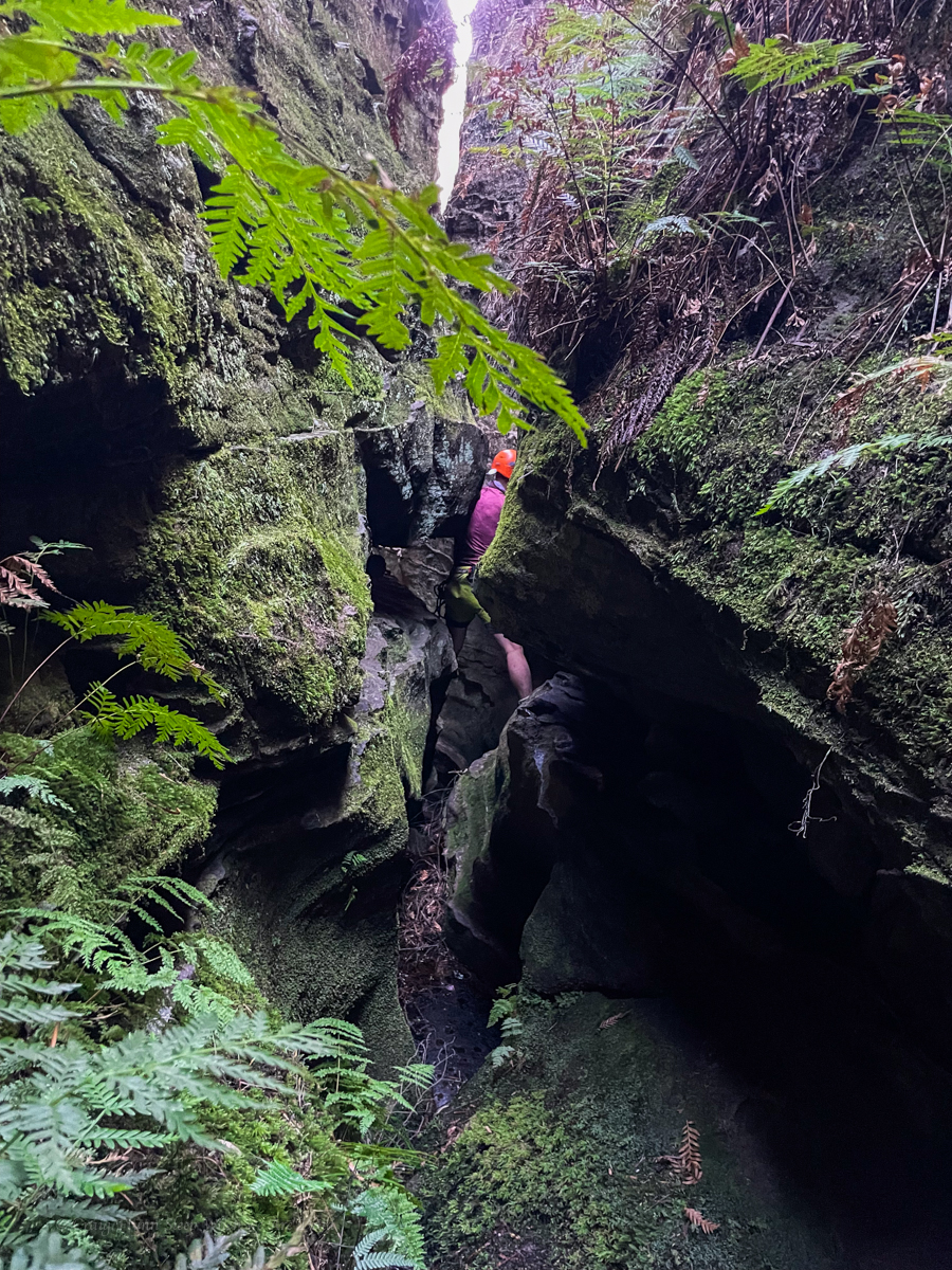
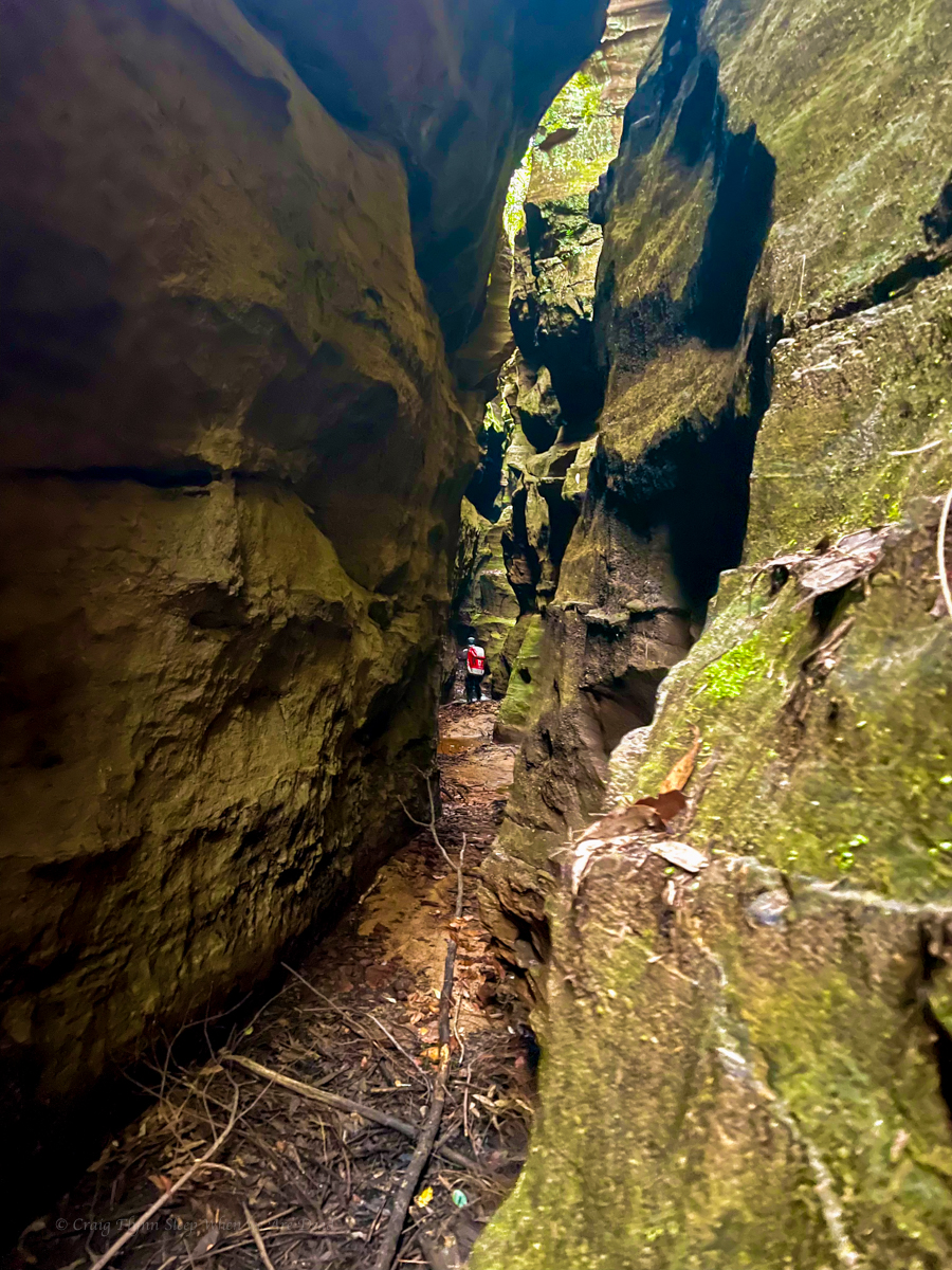
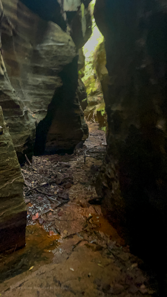
Guide mentions gaining a spur. We took the spur into a gully (if you could call it that) so far matching descriptions. to another spur to gain a ramp leading back towards the top of the waterfall. Well there looked to be a ramp there, it would be a scramble to get up on it but we head up.
Scrub was hectic. Every step forward was a punish. The ramp went up but it would come to an option of narrow, loose traverse that didn’t look like it went or a dodgy scramble bordering climb. Time and again we’d force our way up or along only to get cliffed out and need to retreat a bit and try again.
It was steep and loose and slightly terrifying.
It was energy sapping and soul destroying.
We were a long way up and had been forcing away towards the top of the falls, but it still seemed so far away.
Eventually after getting cliffed out again we retreated back slightly. There looks to be a ledge just below us. Said someone. Kylie and Kris find a way down to it. It might go.
Kristo pushes on.
Some time later, It goes calls Kris.
They had finally stumbled across the right ledge. We still had scrub to fight through and we still didn’t know for sure it was the right ledge.
I see the rope. called someone.
Releaf.
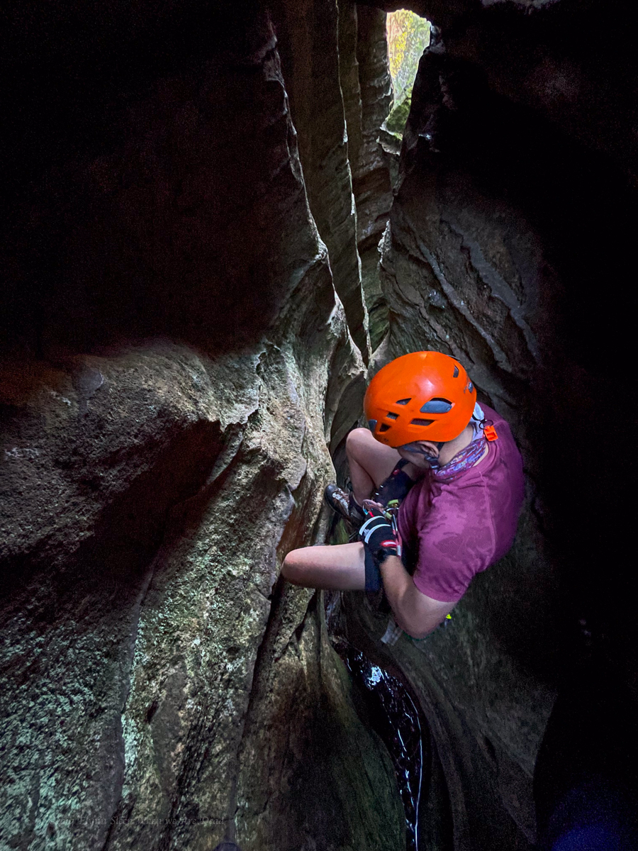
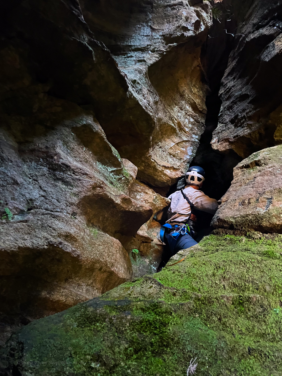
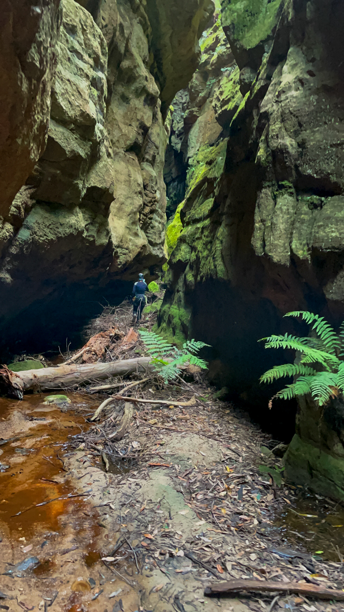
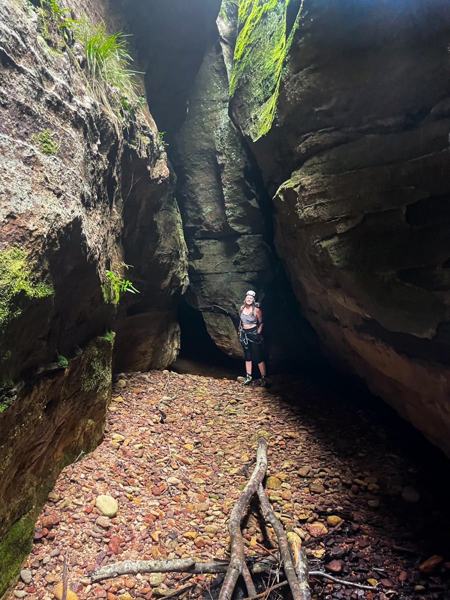
We emerge from the scrub only to find a gully between us and the rope. we drop in and discover we are at the base of a climb and the rope is at the top. Hywaida goats up. When it comes to exits it gets to a point where she transforms to superwomen.
Kris goes next, taking a rope to join to the one in place.
Dave disappears to the left and as Kris drop the rope Dave appears next to him. It’s an easy scramble around the corner. says he.
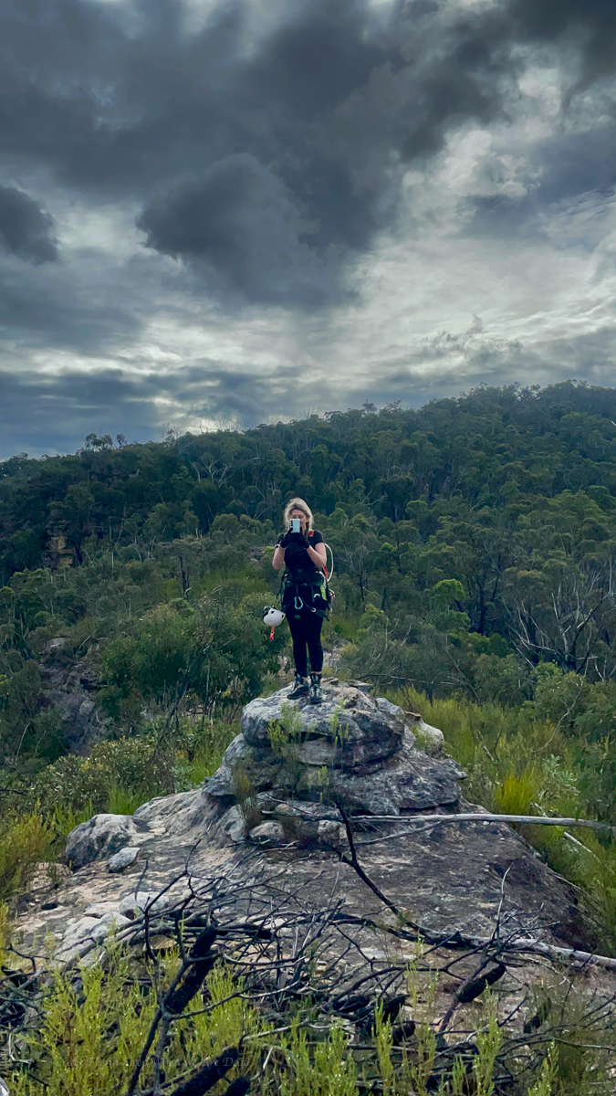
From there its 3 easy scrambley pitches which we punch up using our crolls on the rope as a safety, but tbh despite some grade 10-12 moves its the least exposed stuff of the entire exit.
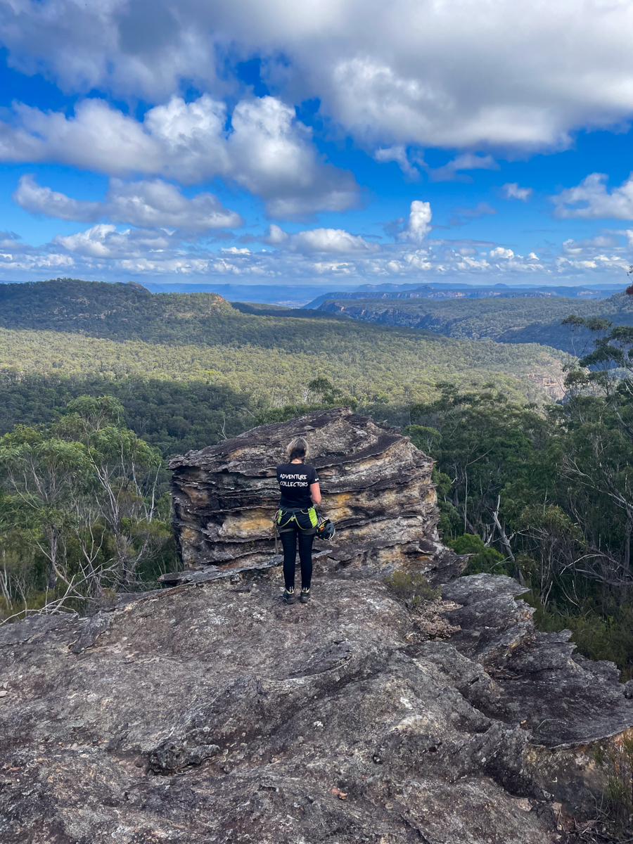
3hrs later the battle to escape Landers was done.
I’m not 100% sure we won.
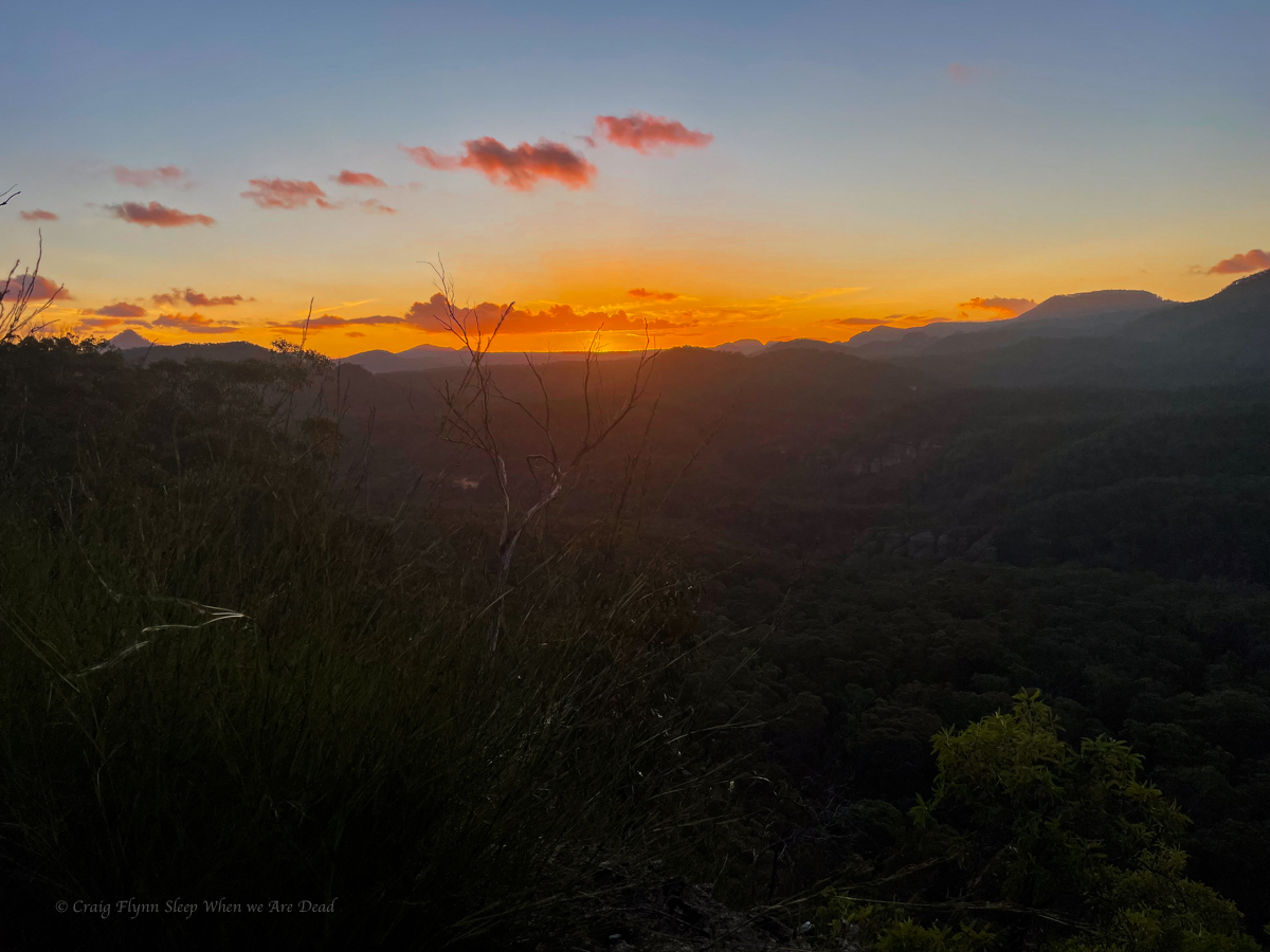
There was a point to this story, but it has temporarily escaped the chronicler’s mind: Douglas Adams
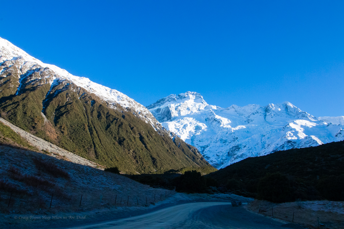
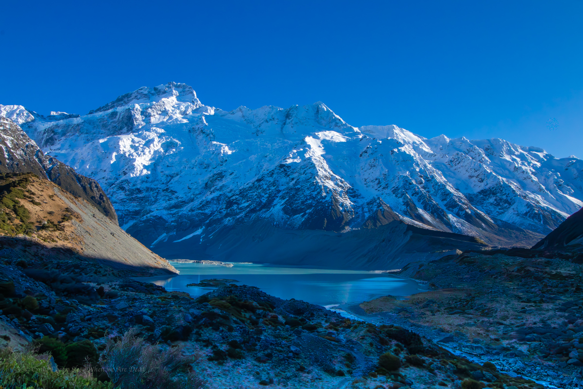
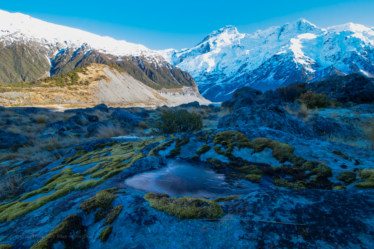
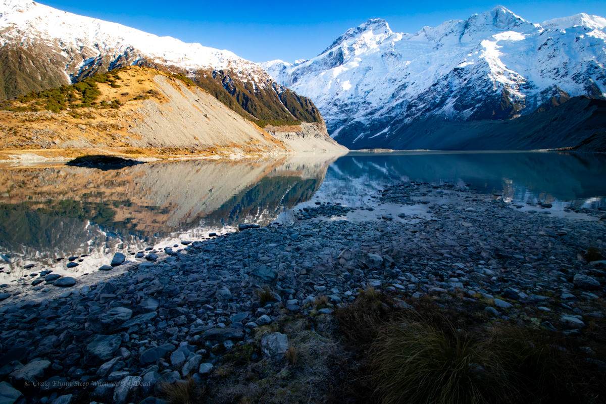
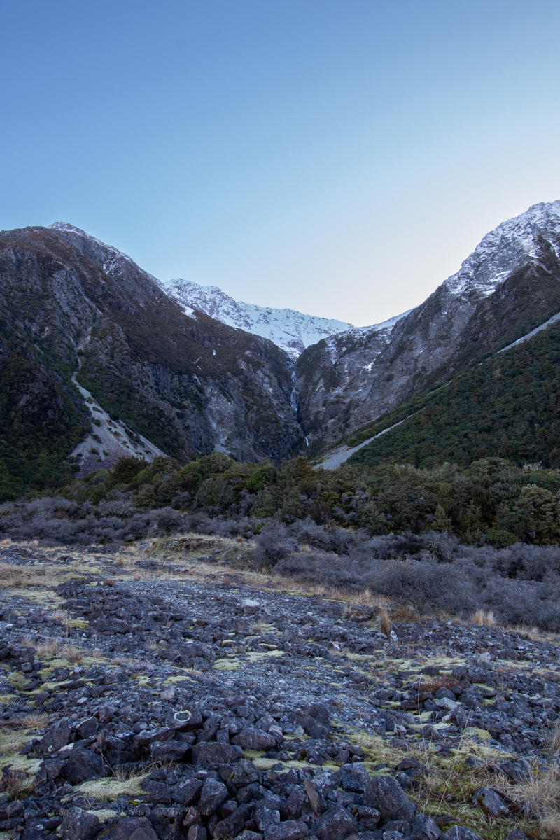
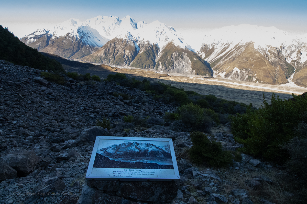
The following day we head to Clark Gorge
Back to the canyoning main page