20/12/2025
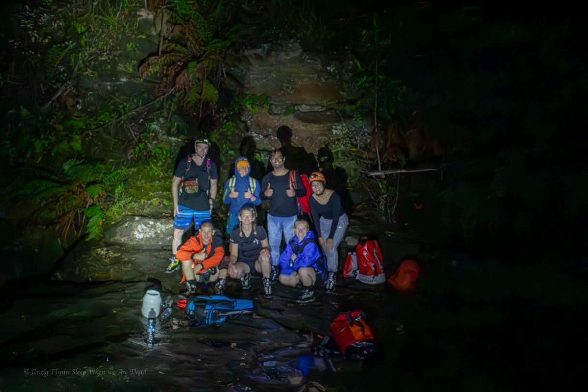
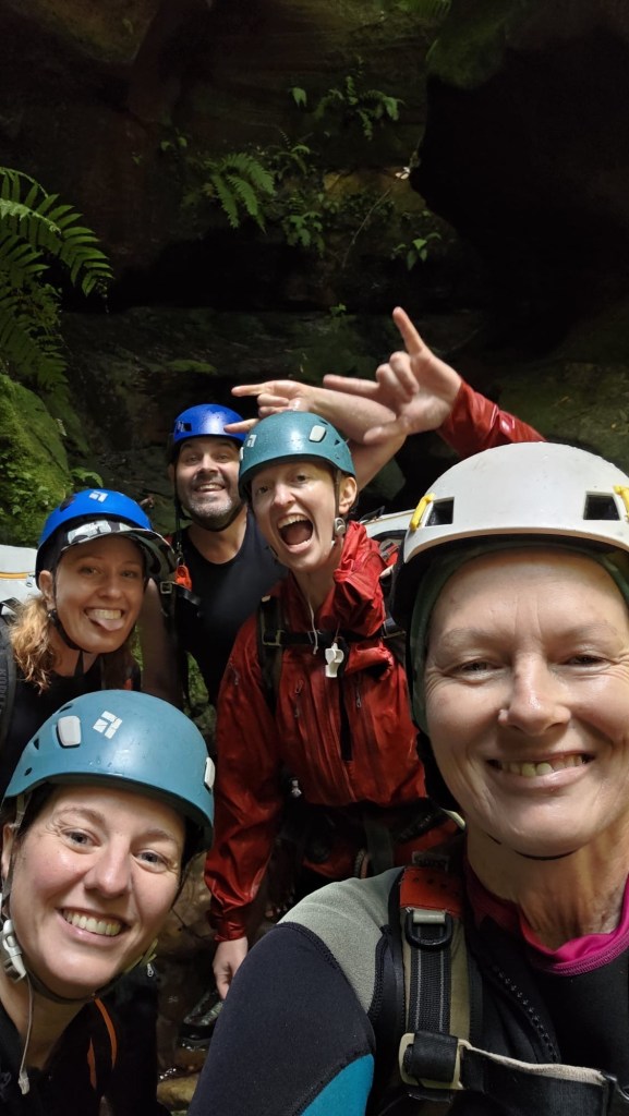
Gadget, Wisey, Brooke, Clare and meeeeeeeee
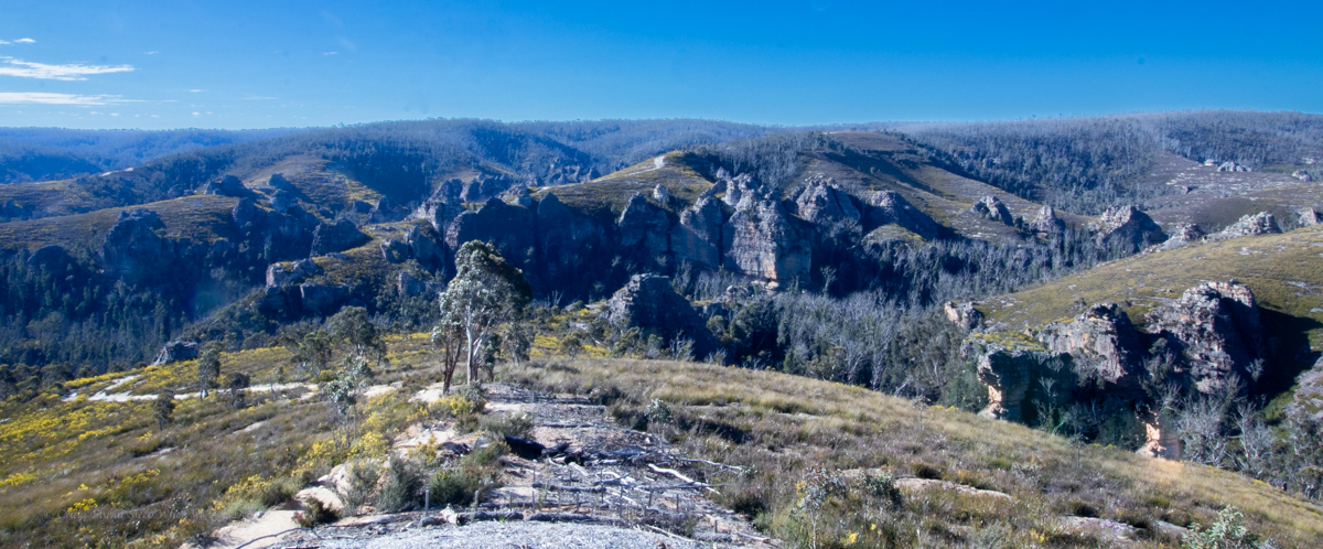
There’s some great side canyons along the Wollangambe with the most popular ones clustered around Mt Wilson.
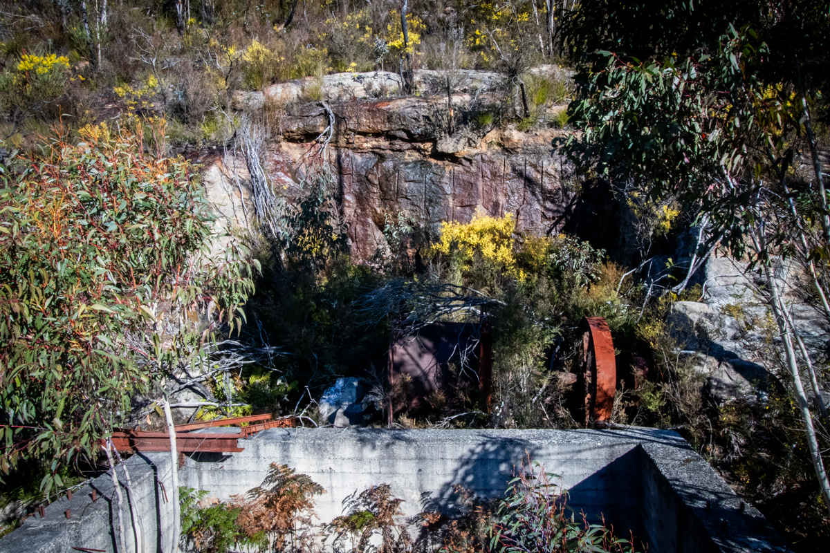
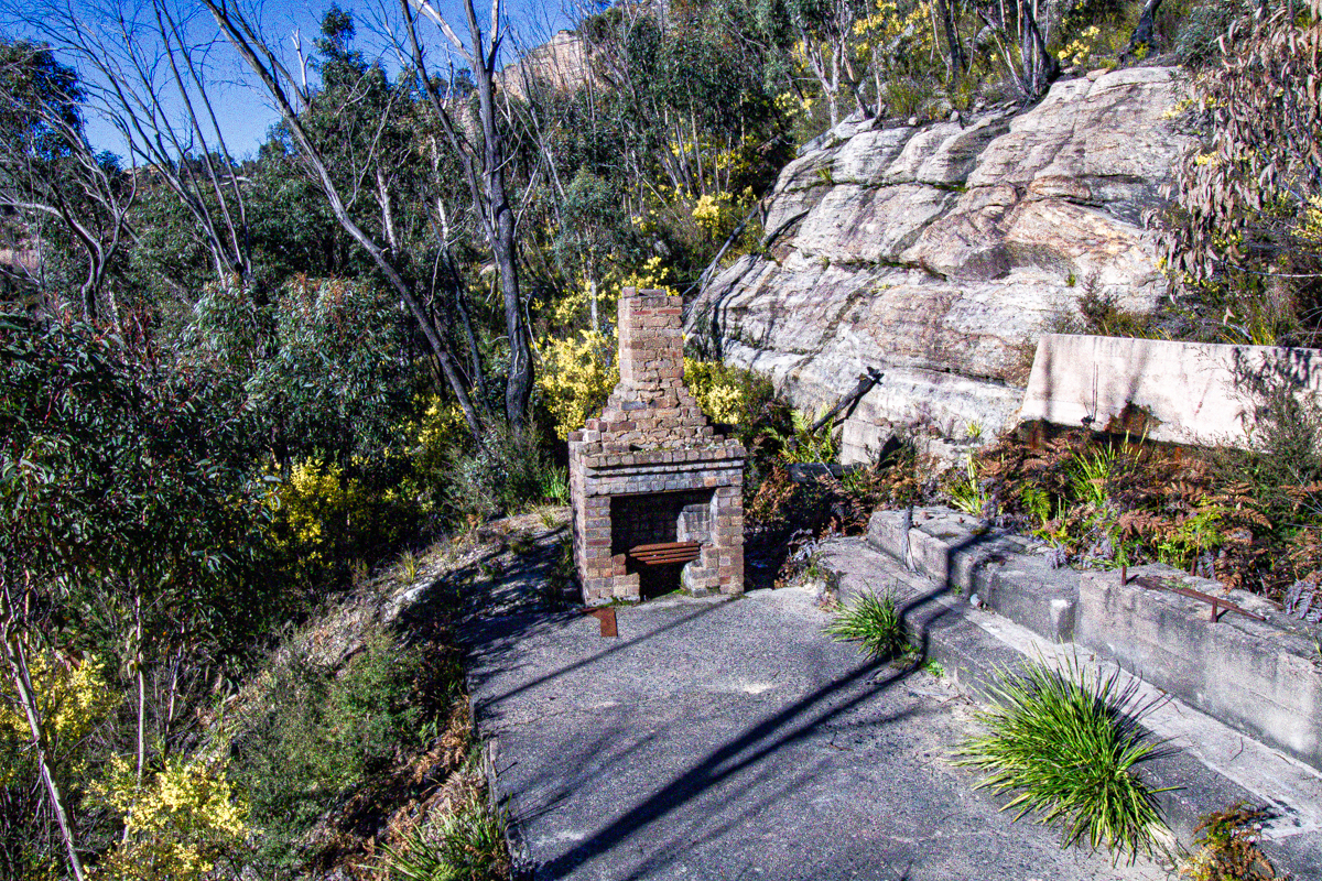
Of those accessed from the Fire Shed there are a couple of outliers that get less traffic due to being a little harder to get too.
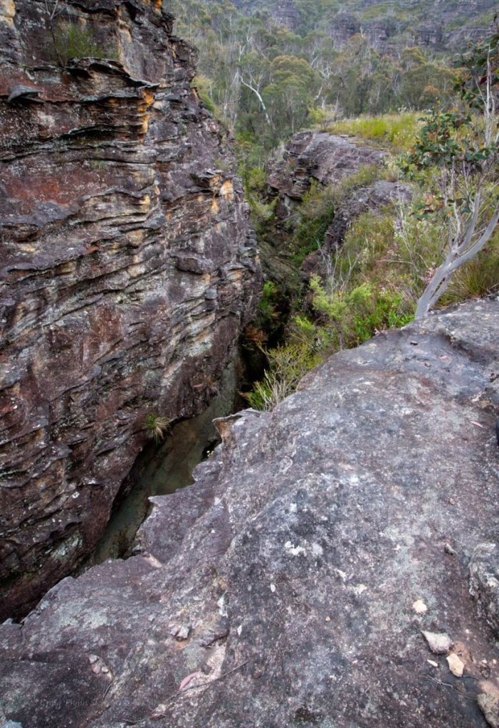
Whirlpool canyon is one of these.
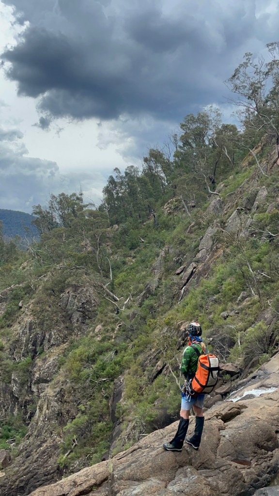
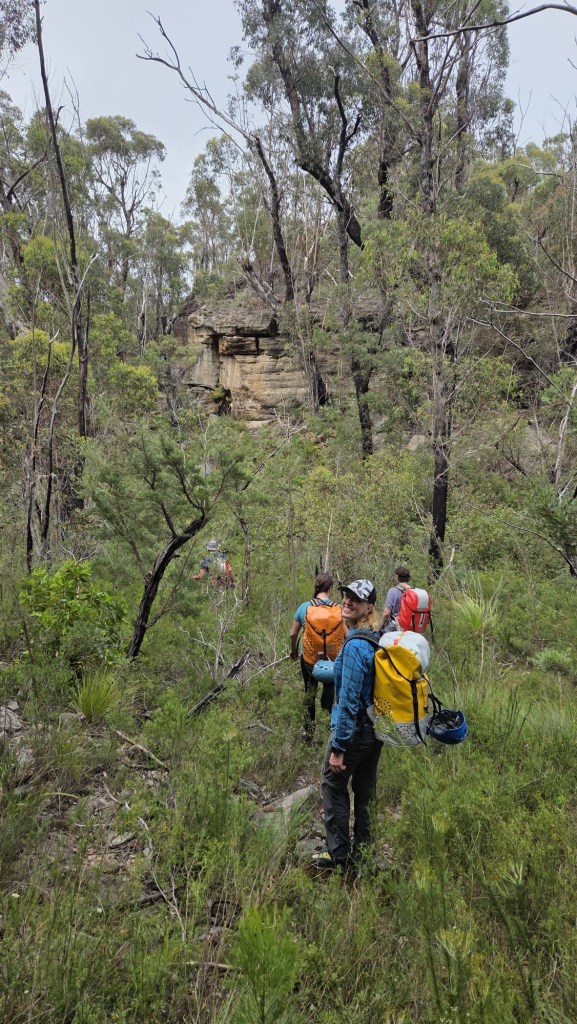
Expecting a stinking hot day and a long scrubby walk in we meet early and head off.
The others had obtained a GPS trace of the entry, I had my usual plotted way point for the canyon start and sometimes/usaul/mostly wackily off gut feel…
Banter made the walk in pass in a flash, well not really but it was surprisingly simple, even if I did get completely turned around at one point, thankfully Clare and Kylie kept us on track. Though when H suggested we try a short cut I was all in.
It was also relatively scrub free(ish)
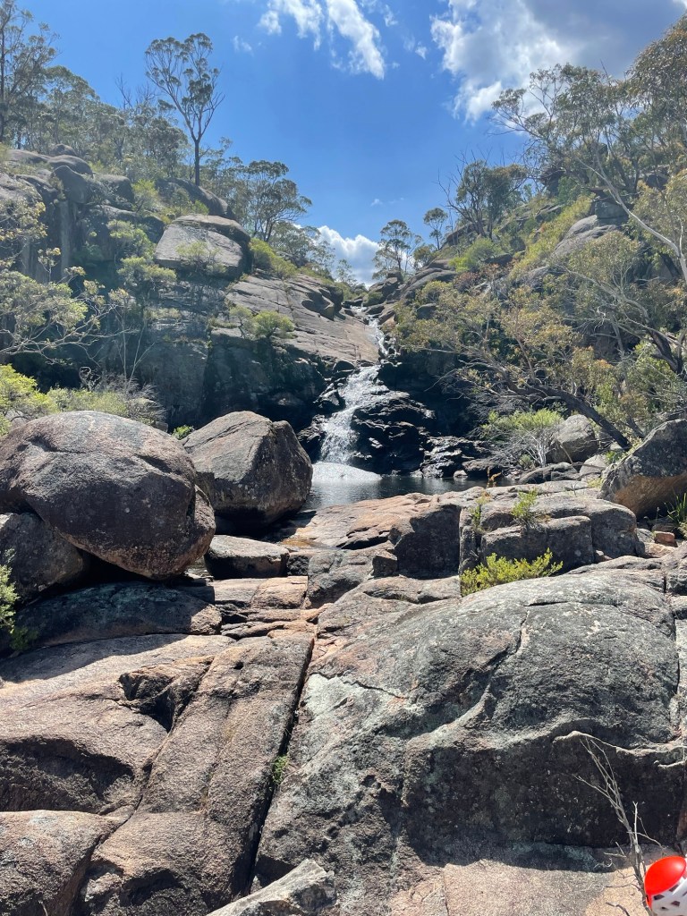
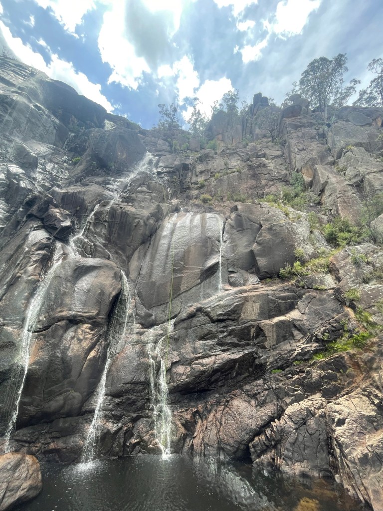
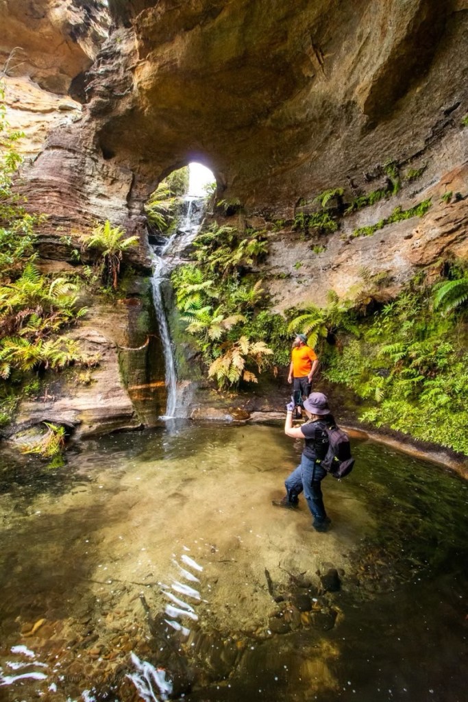
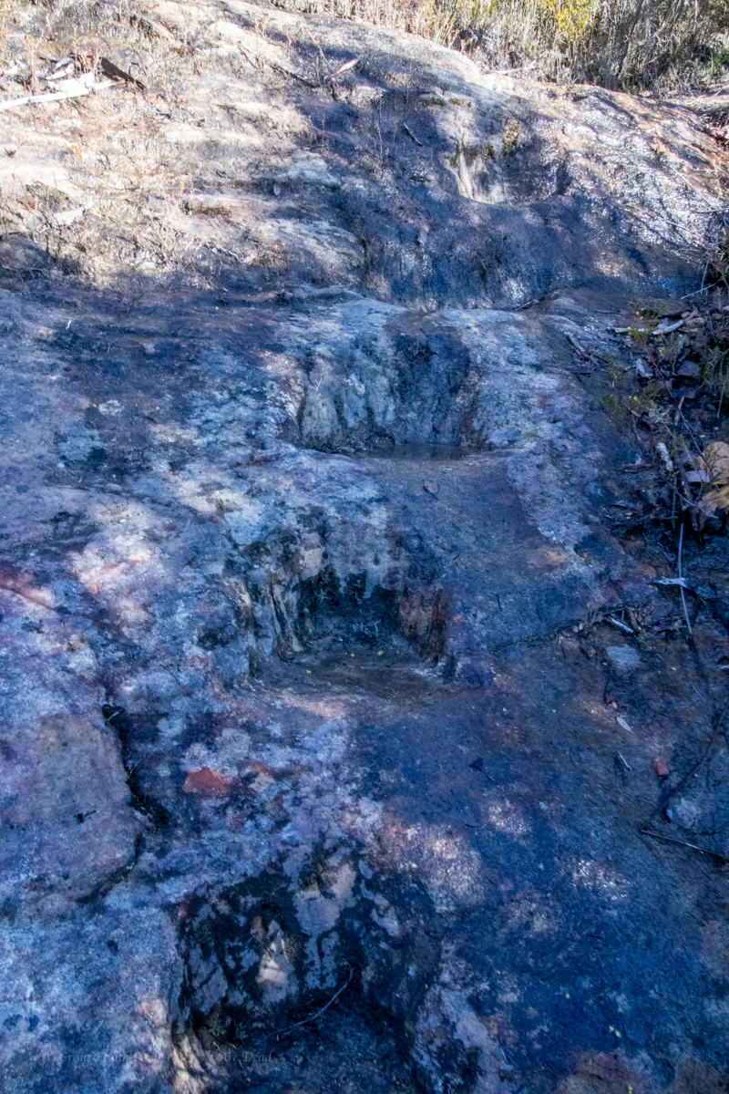
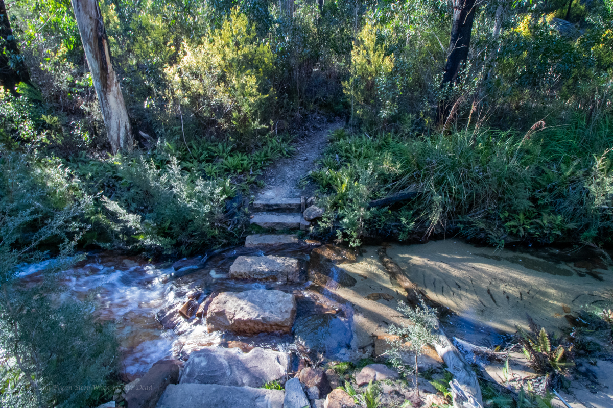
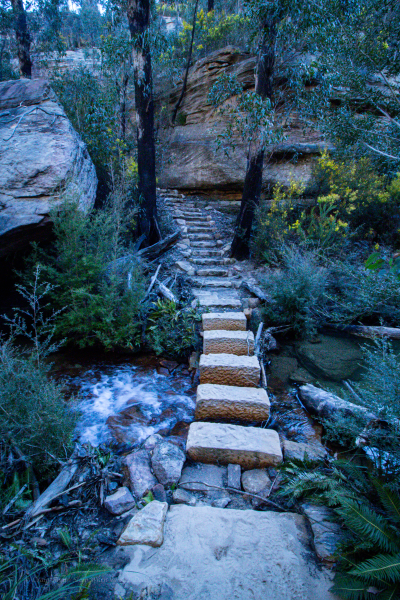
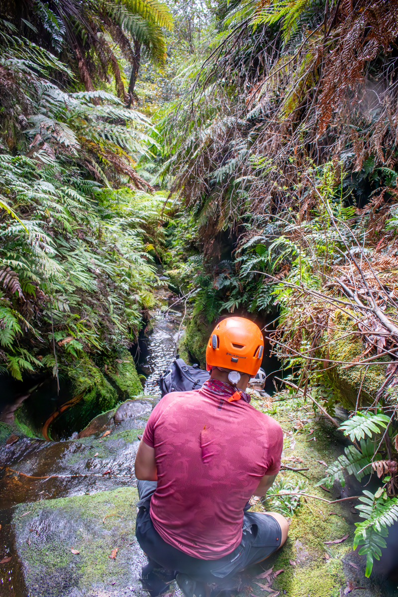
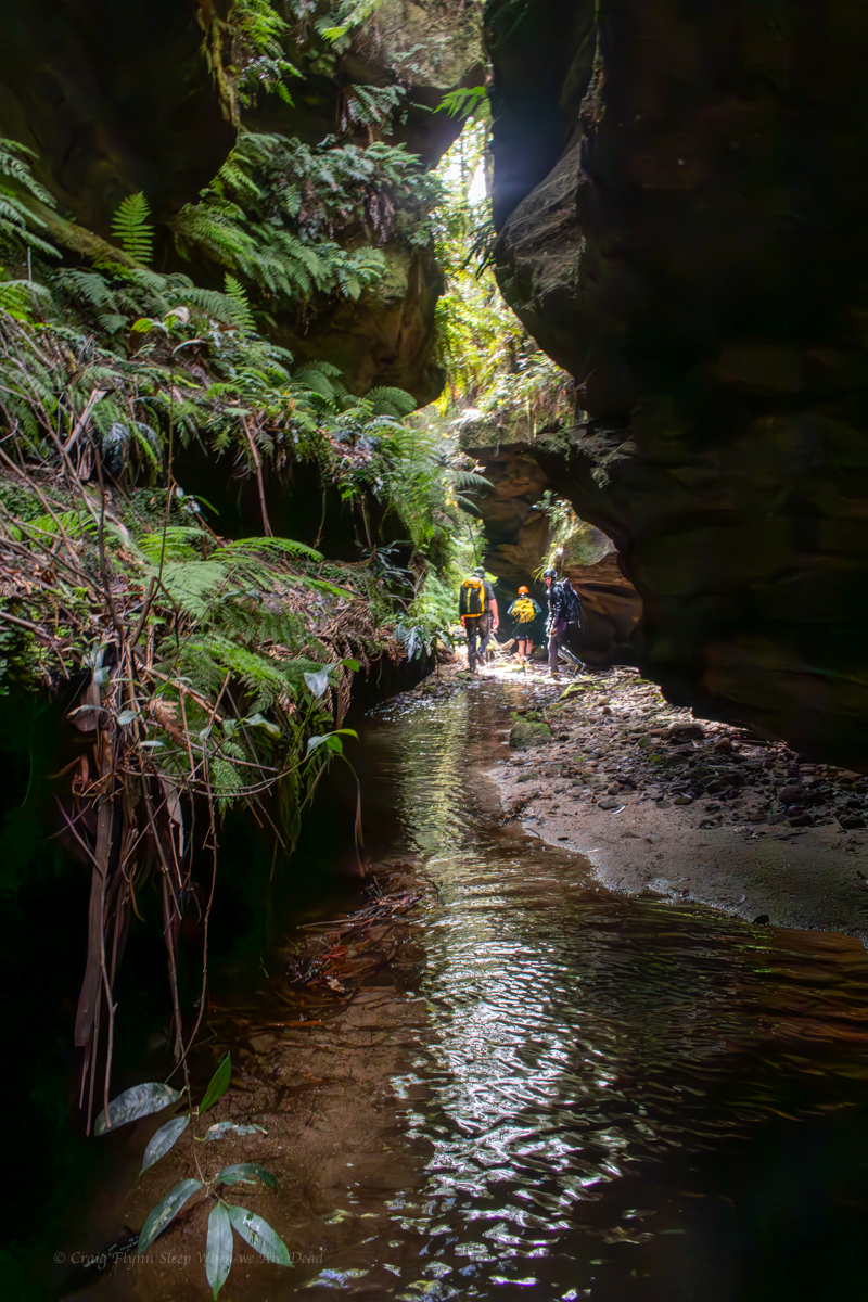
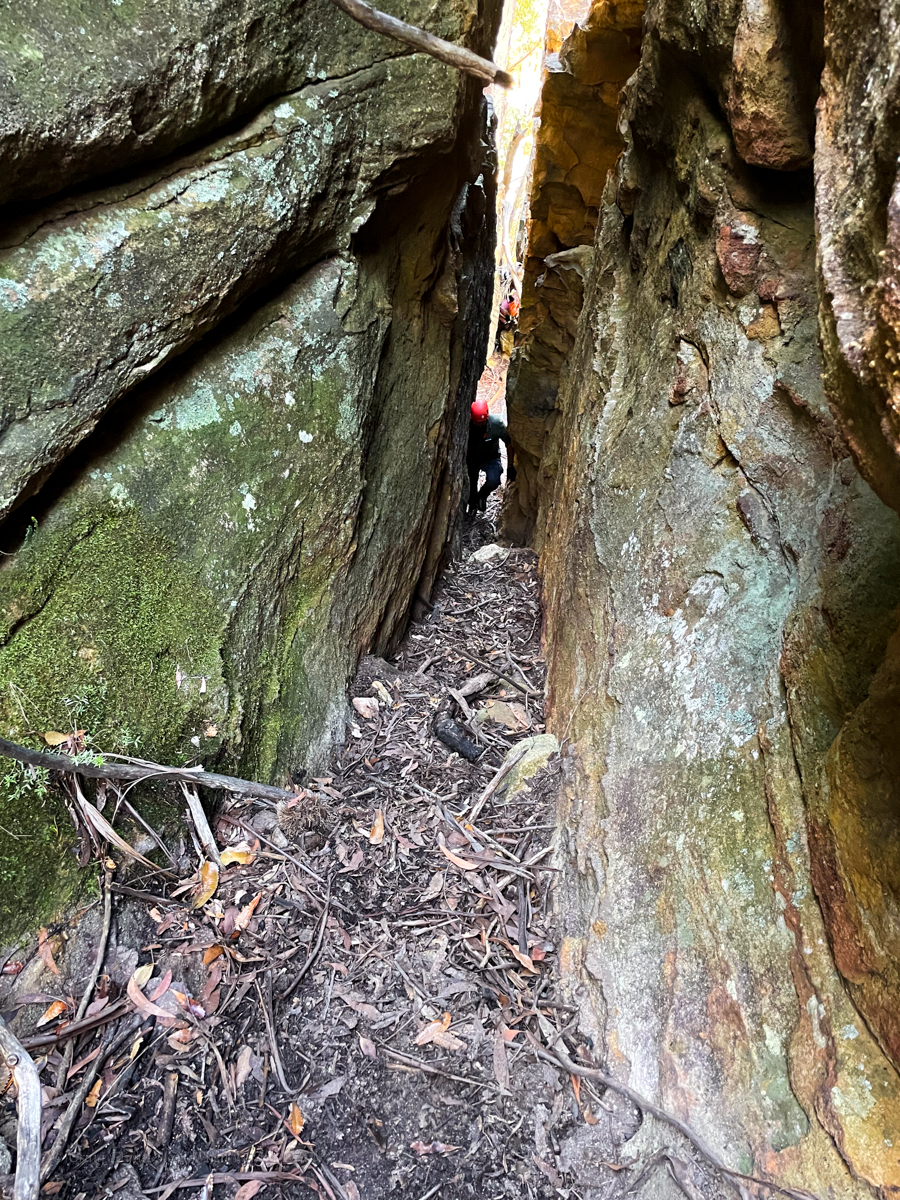
And soon we find ourself at the start of the canyon.
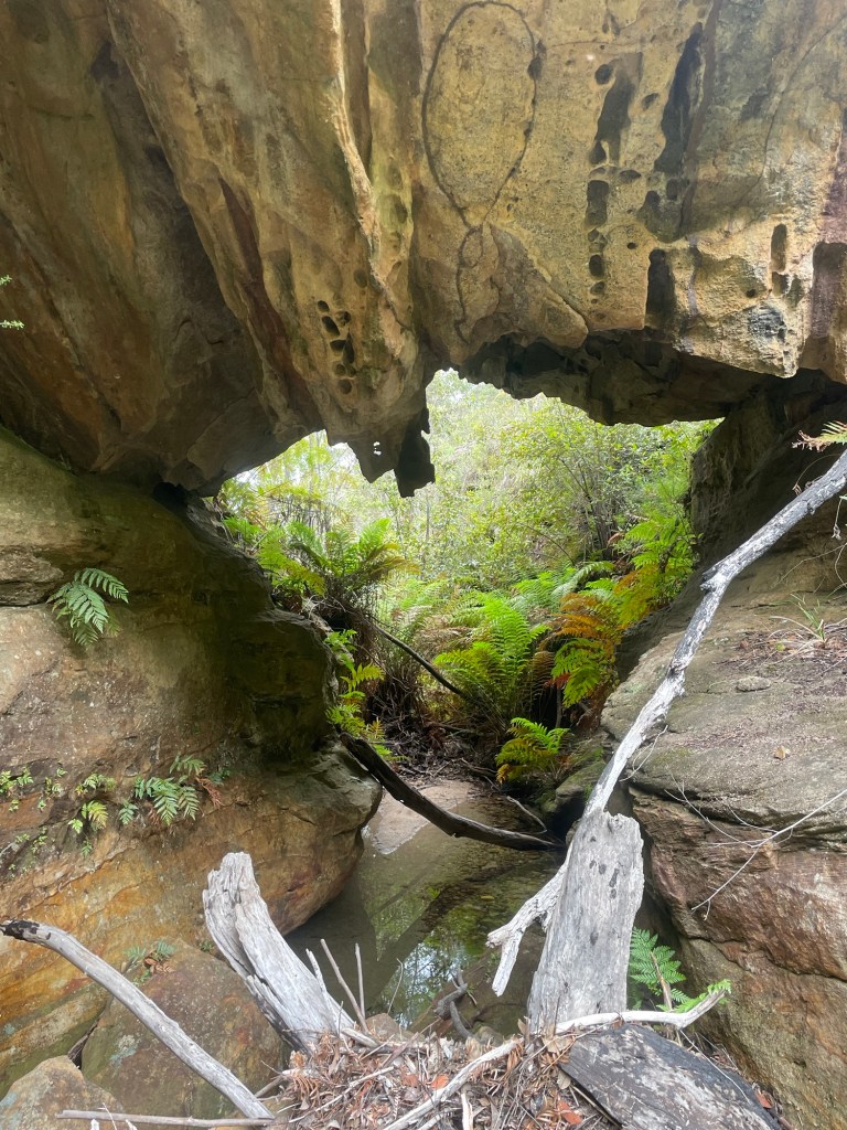

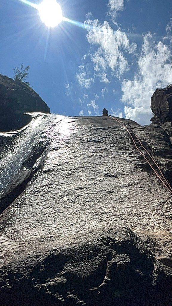
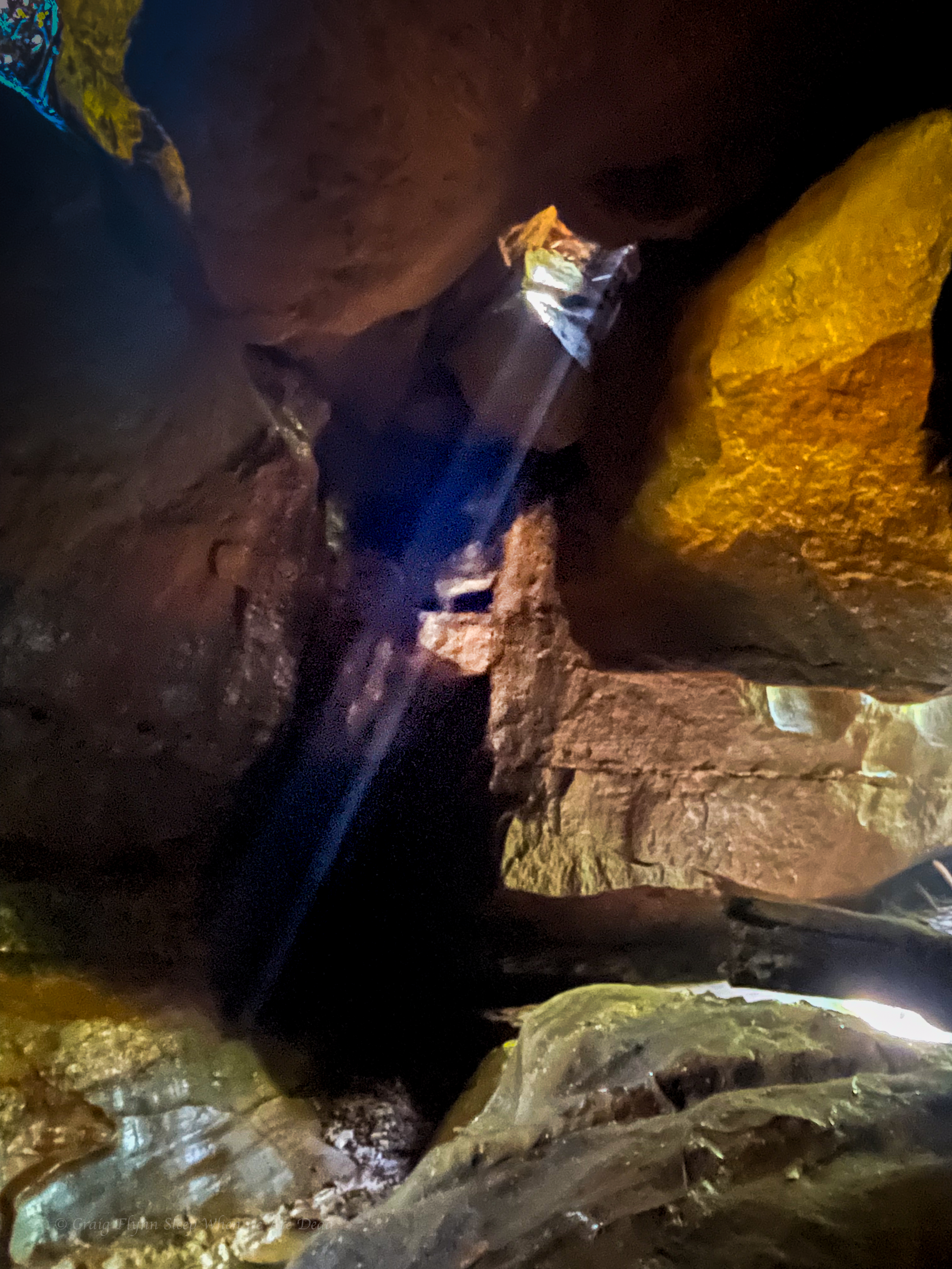
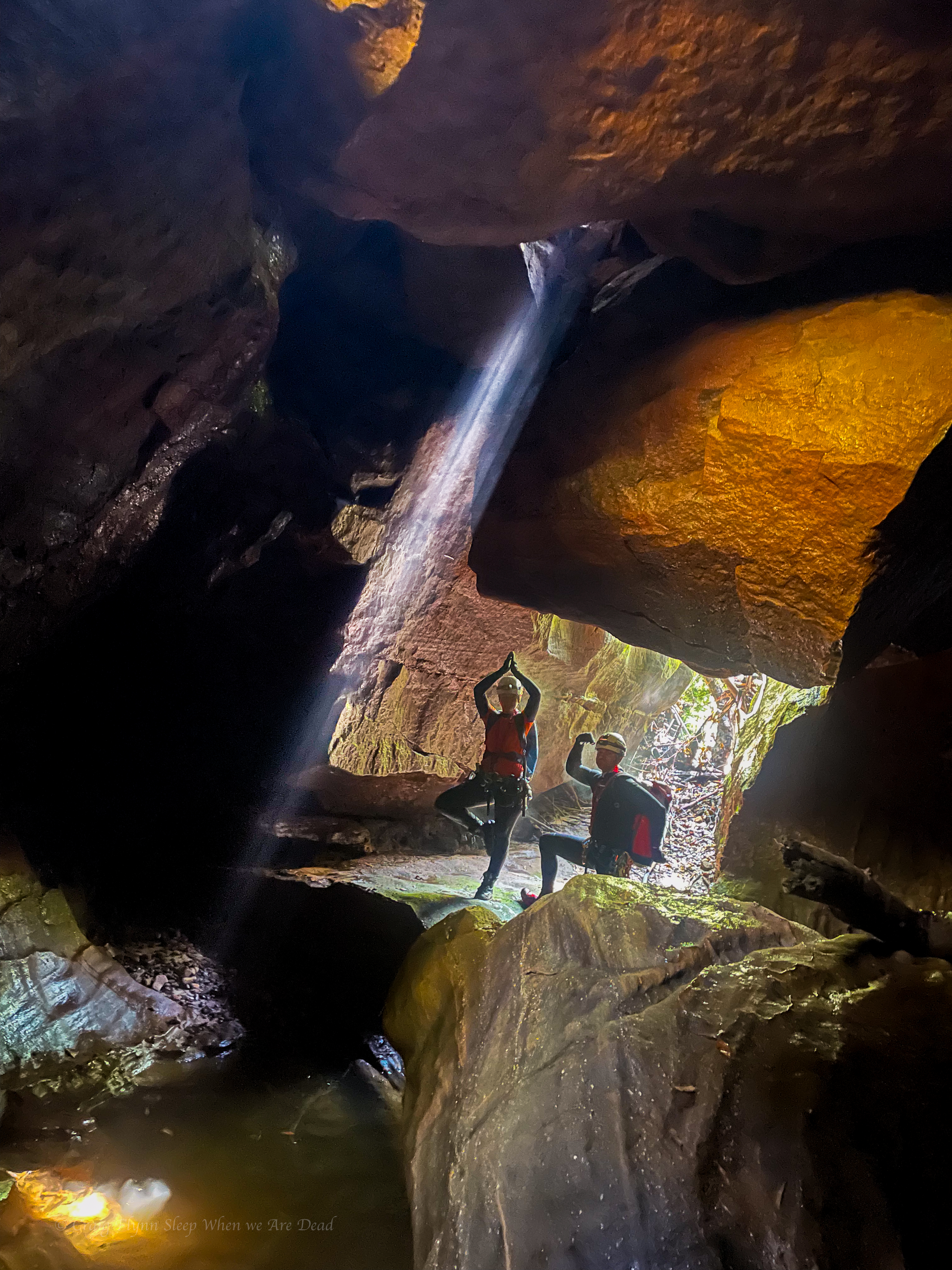
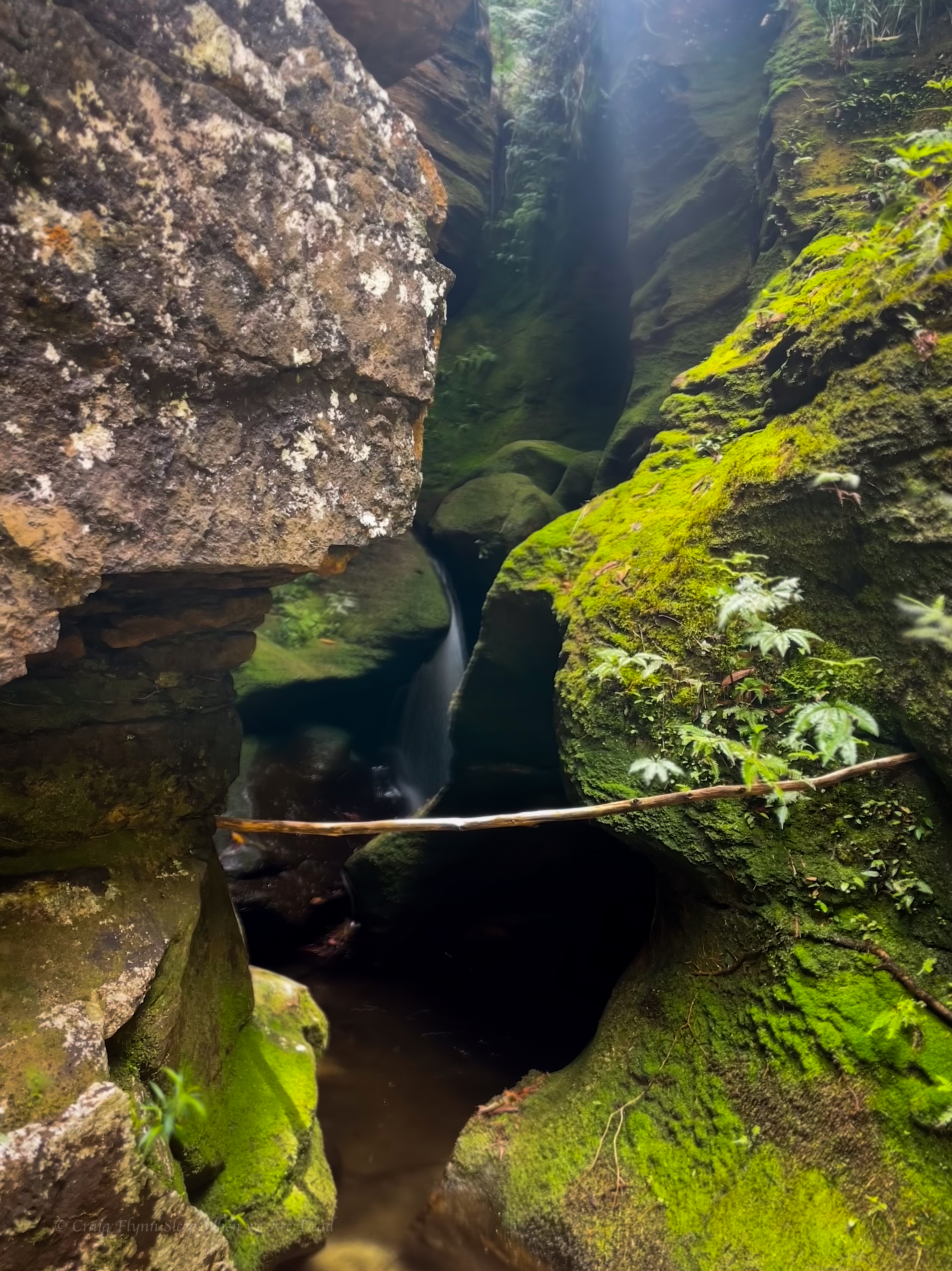
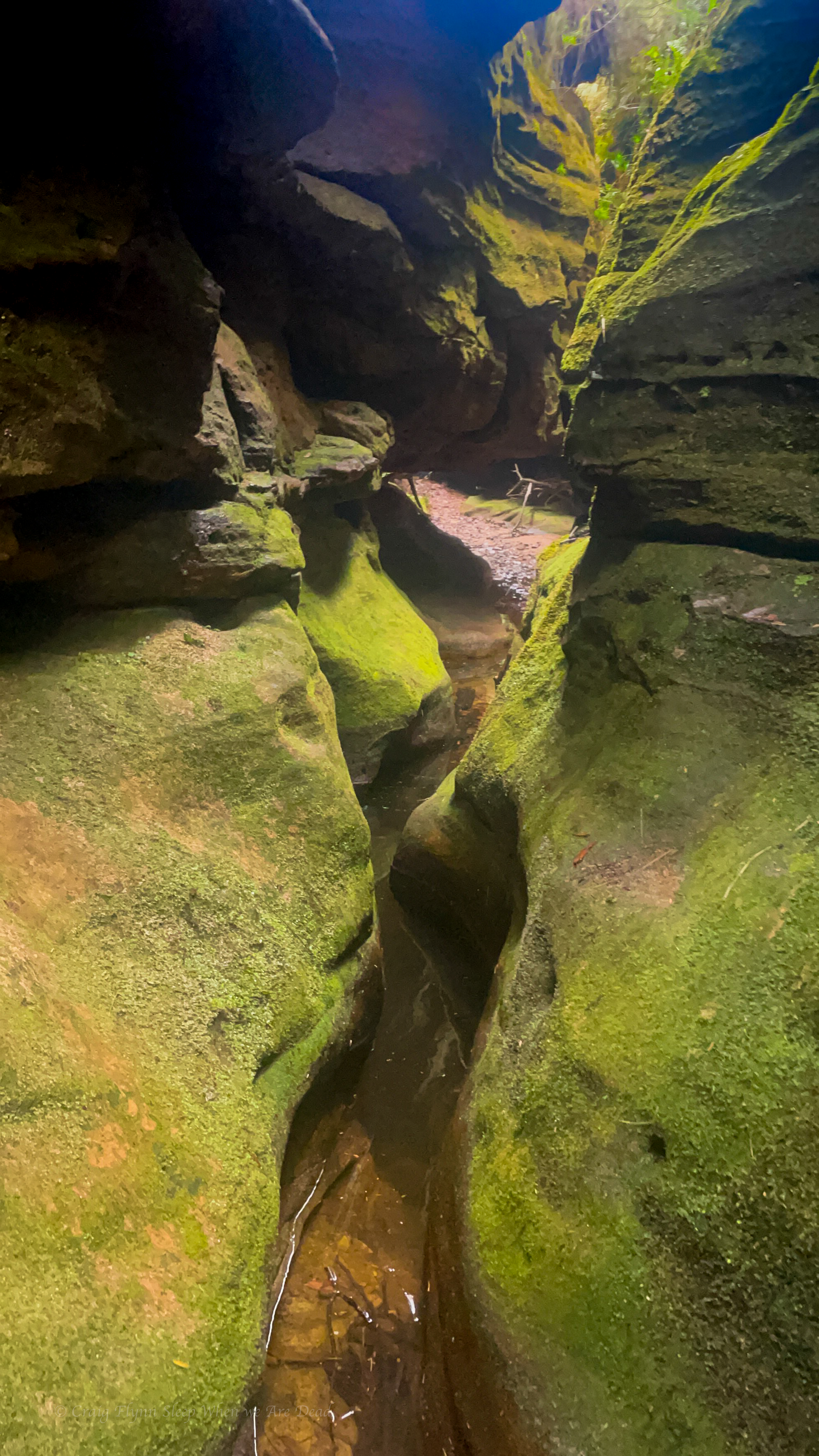
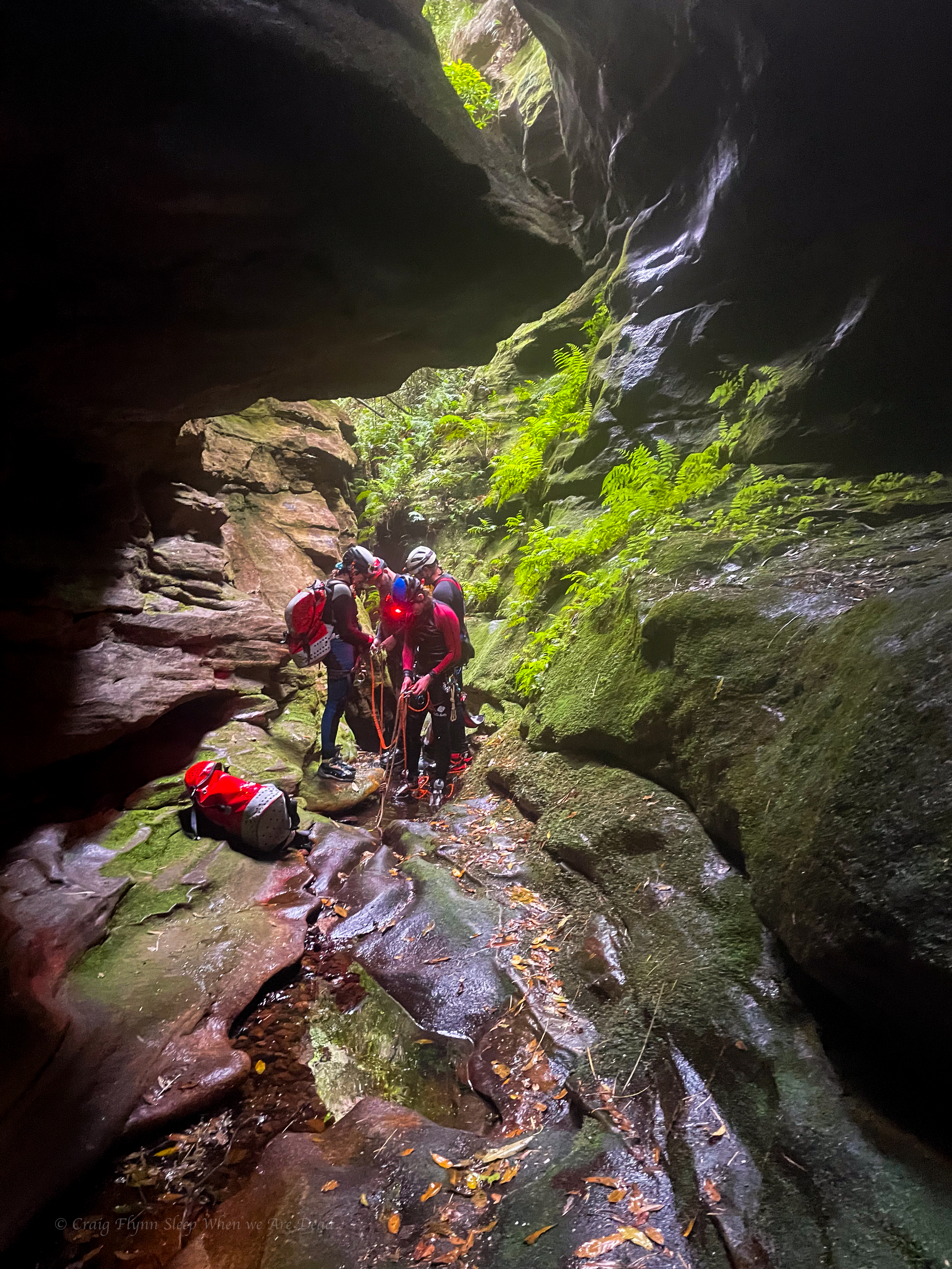
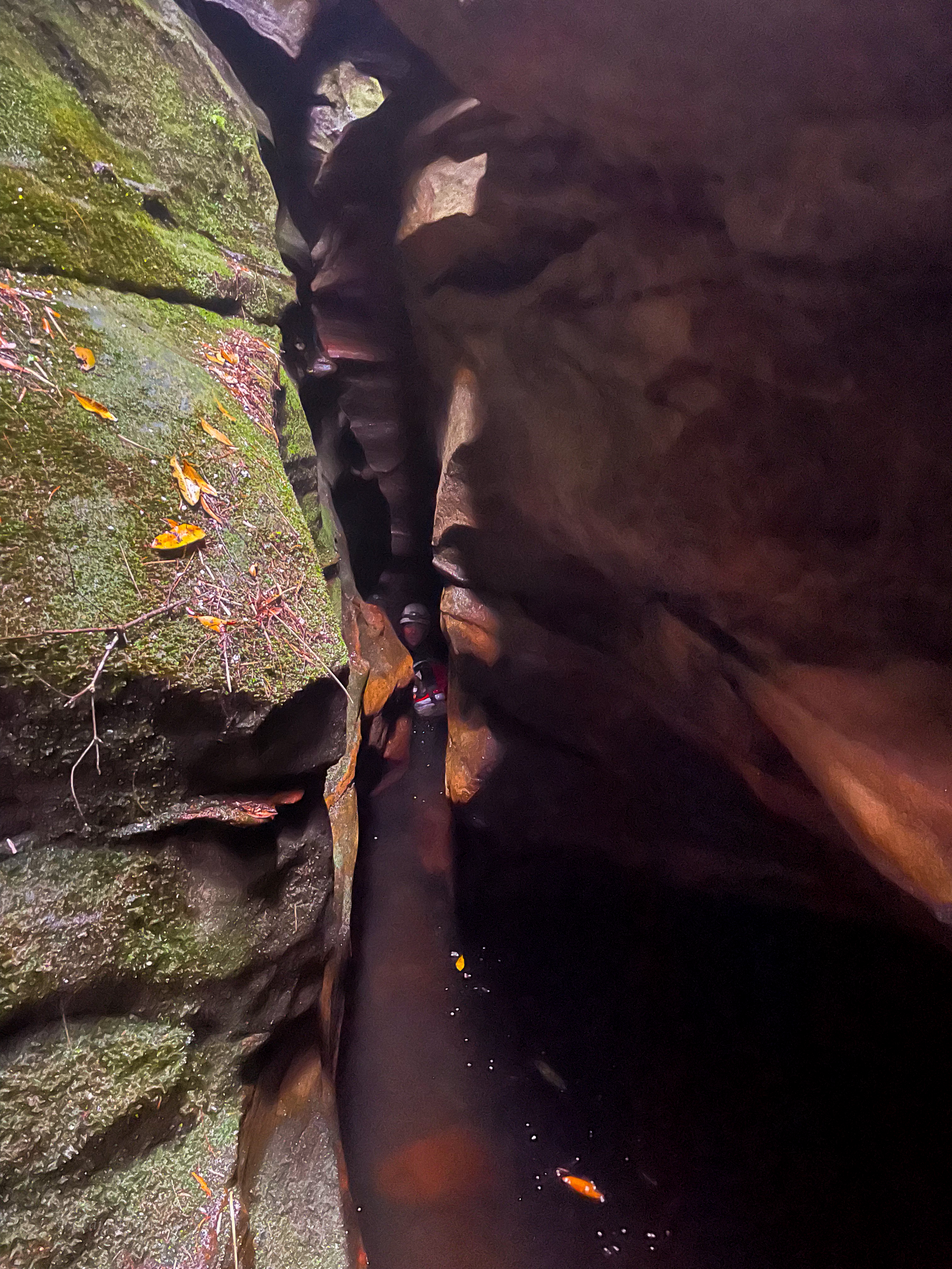
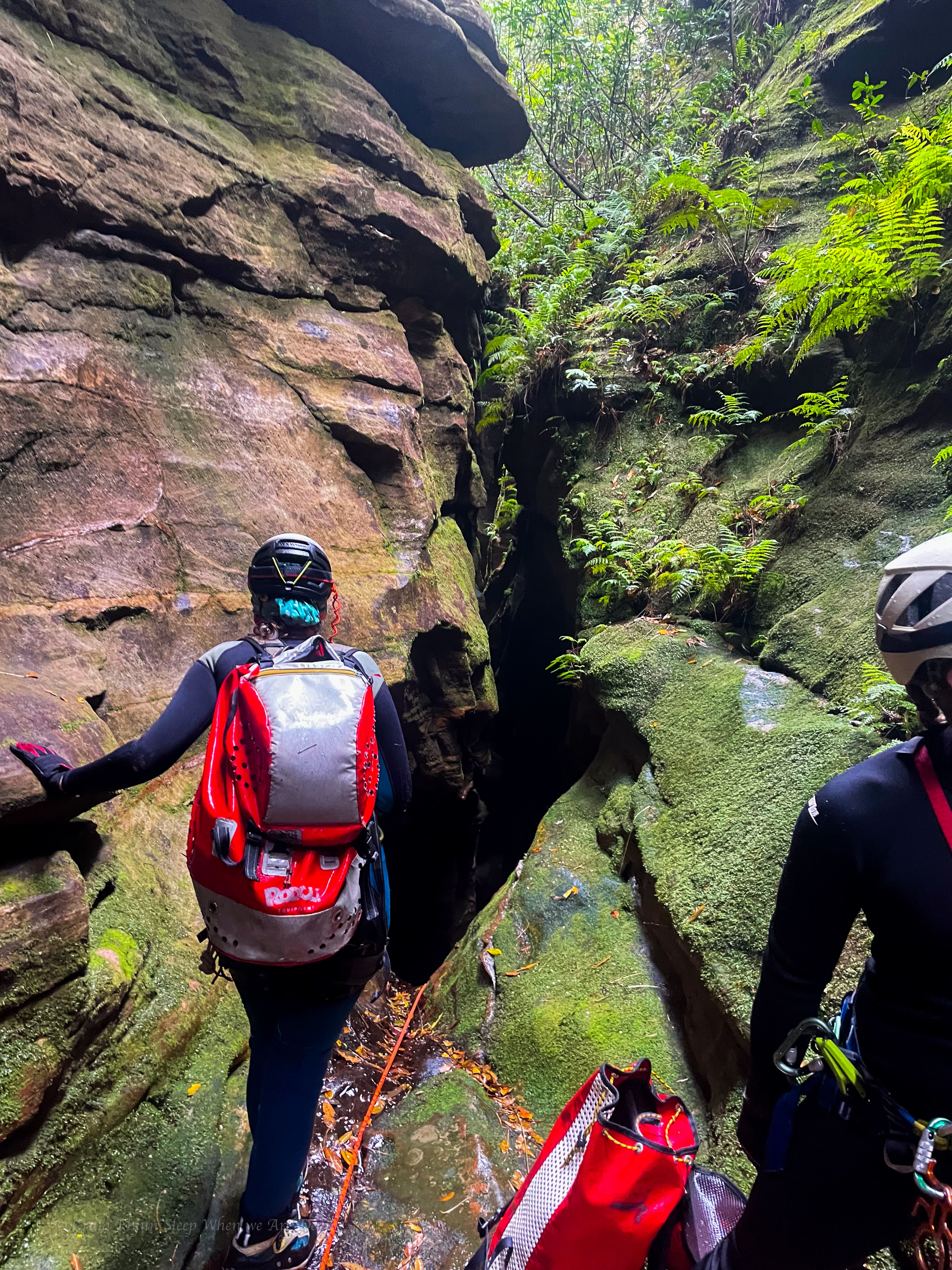
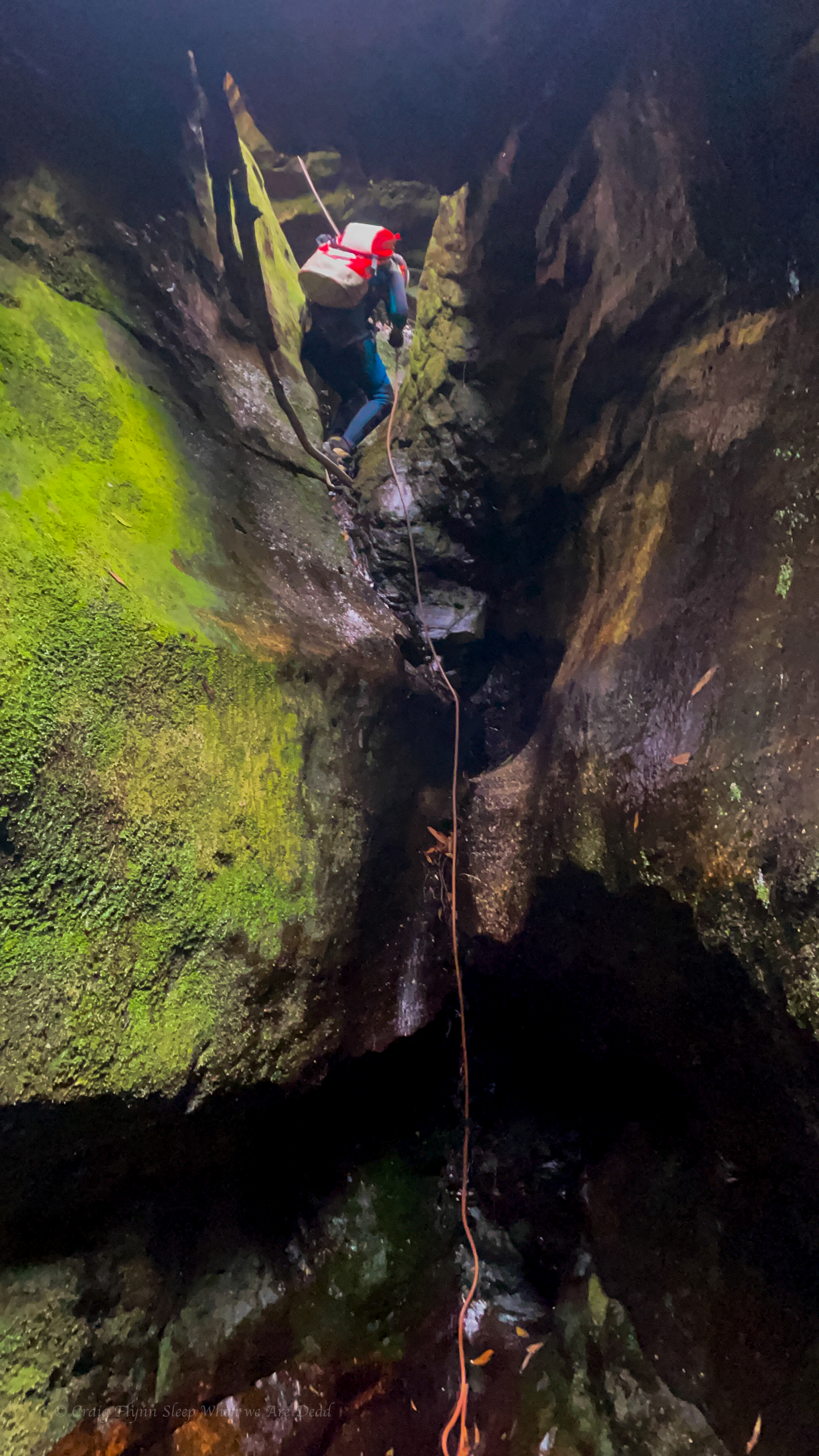
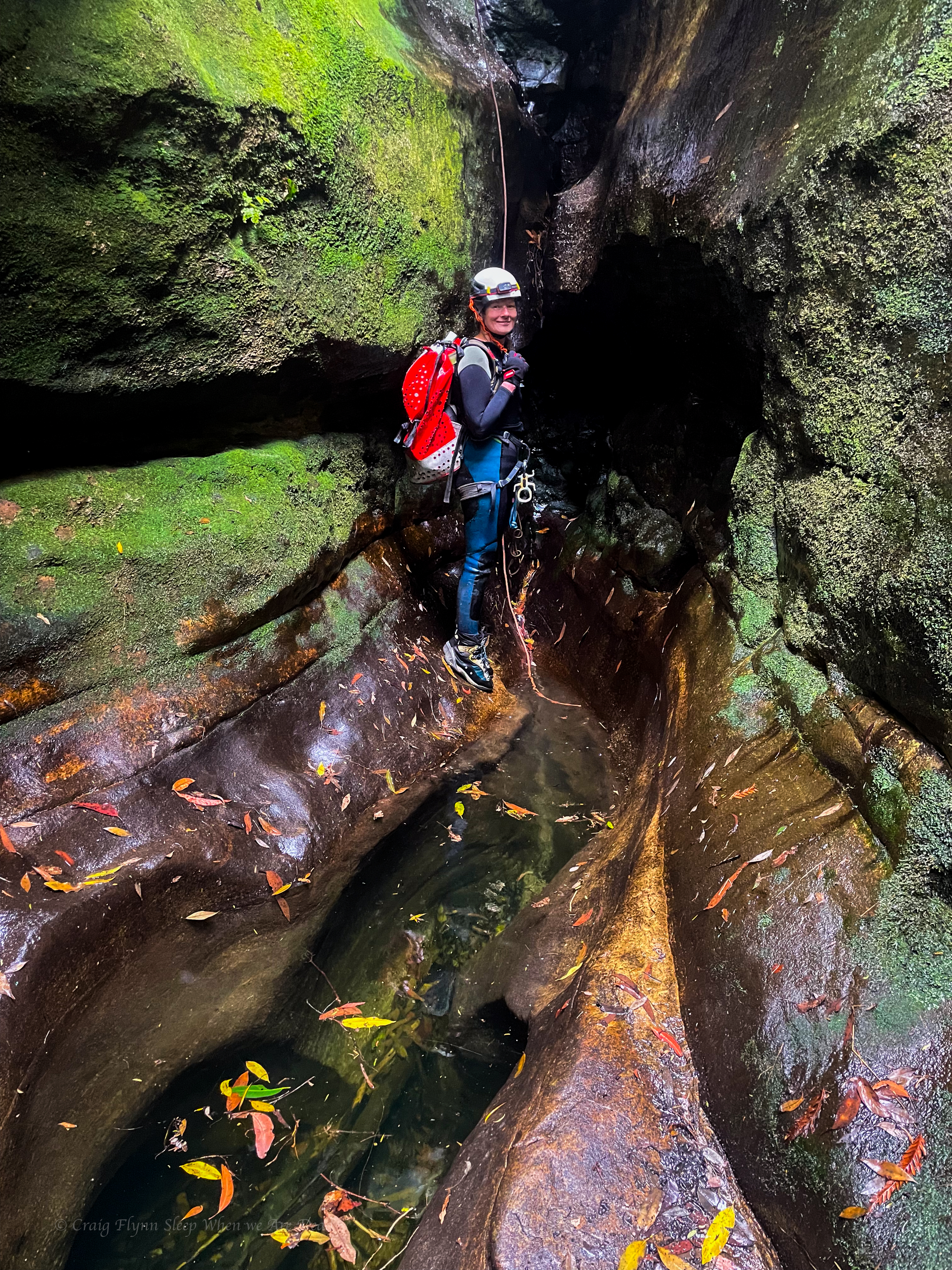
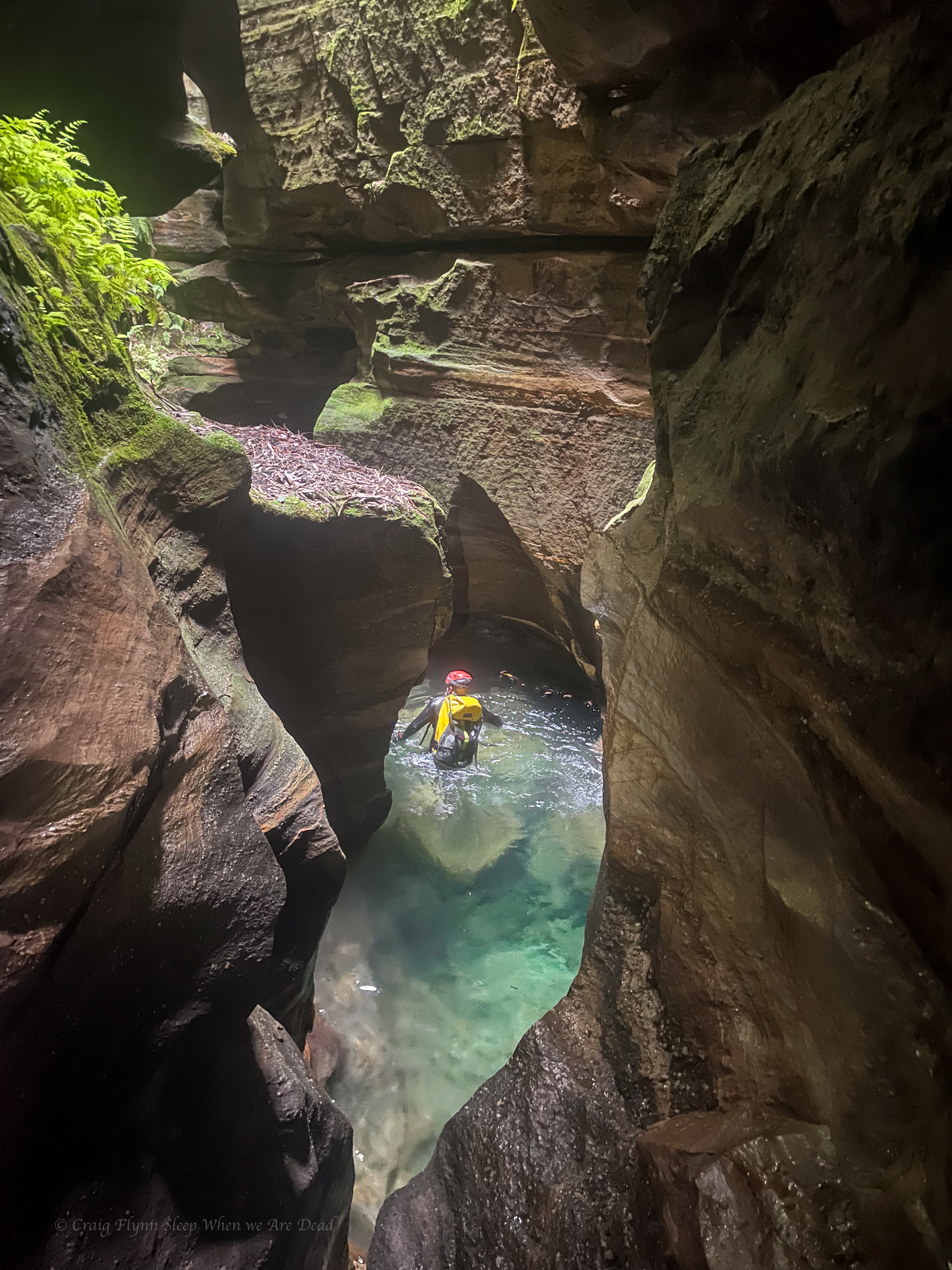
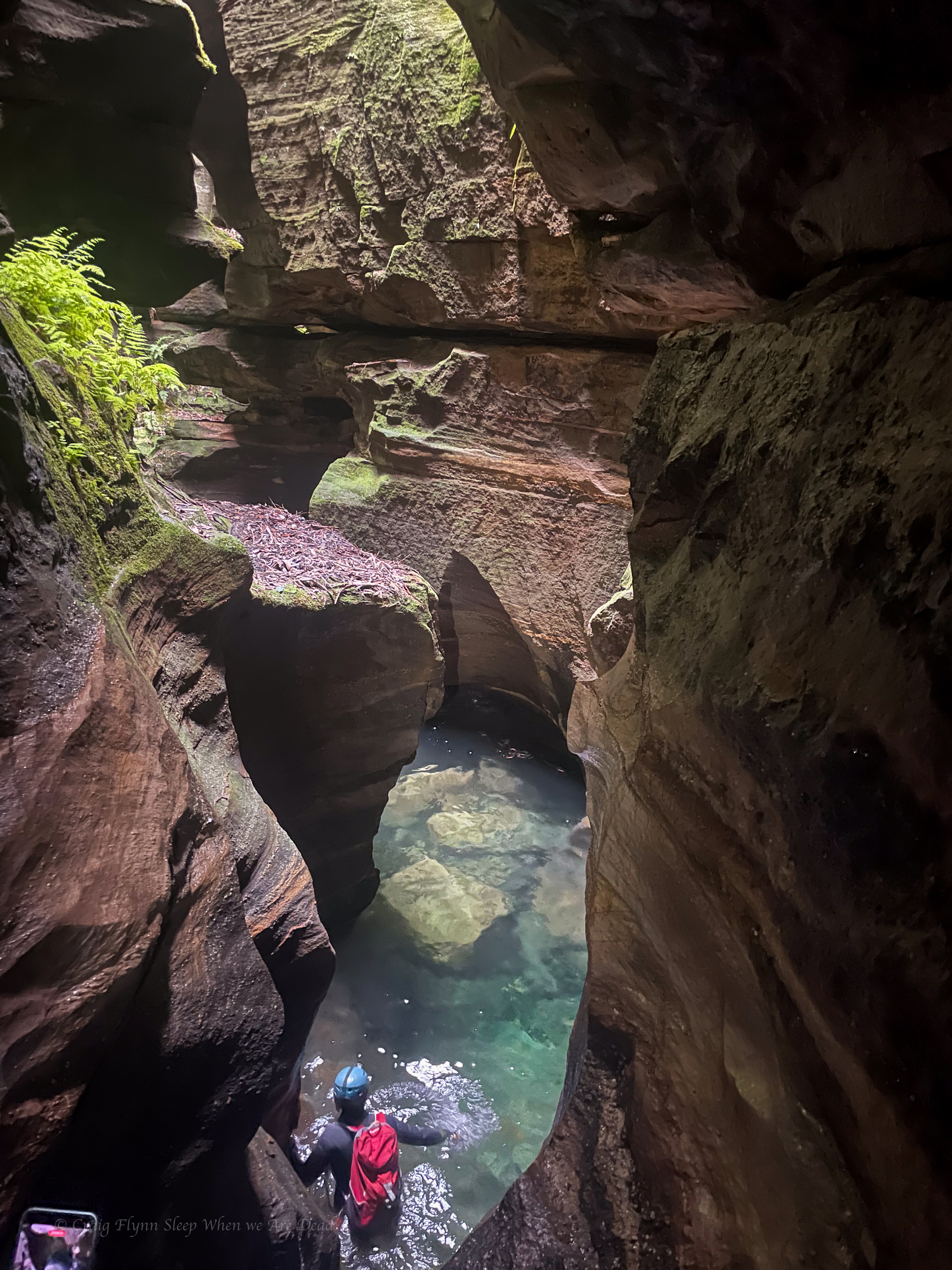
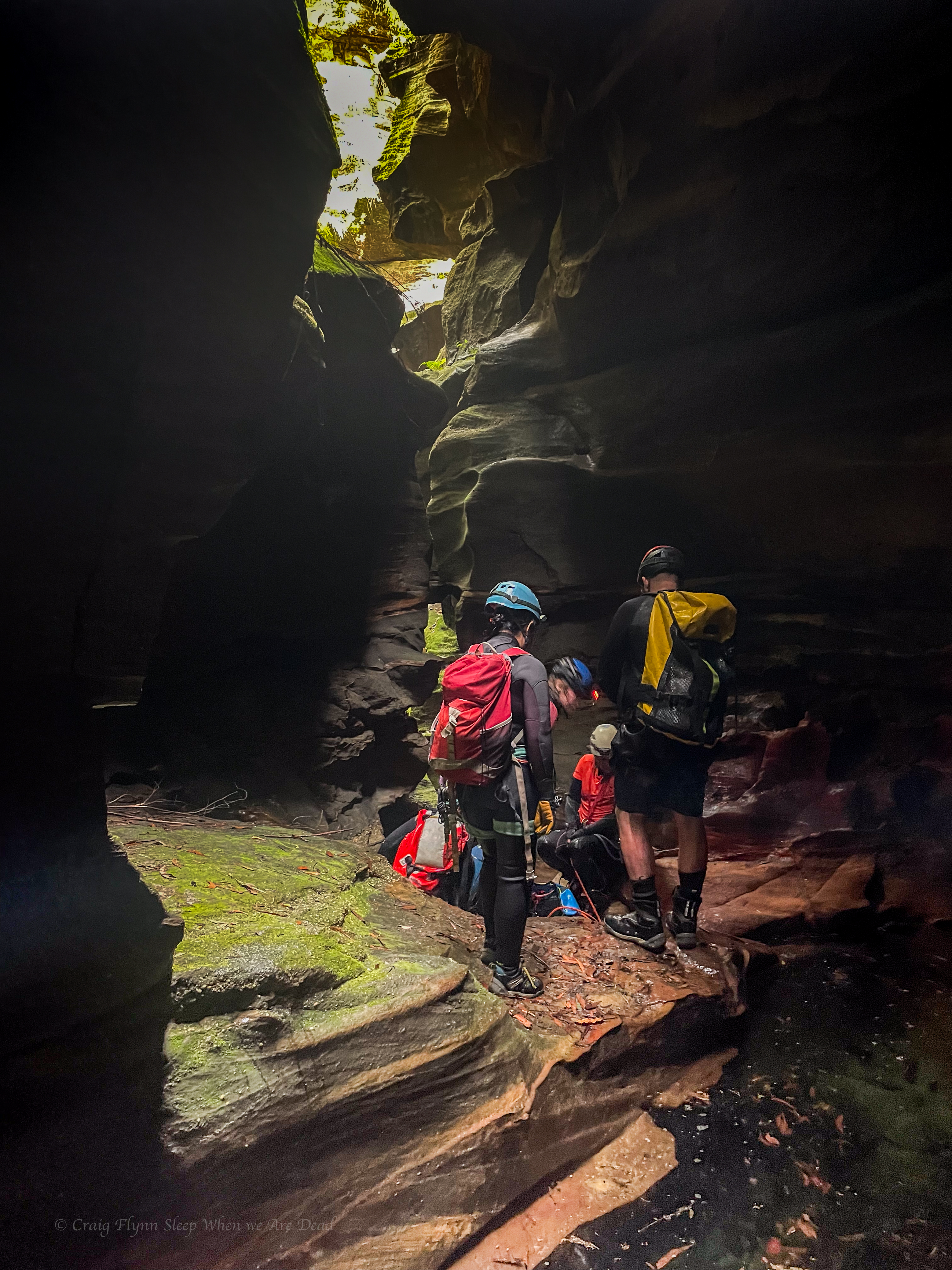
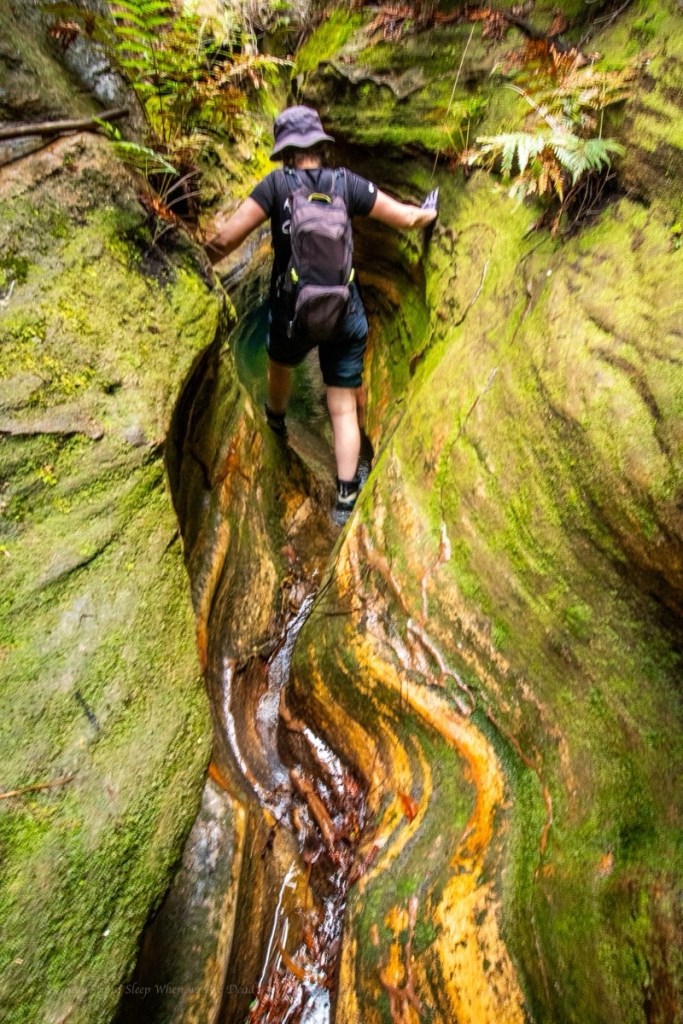
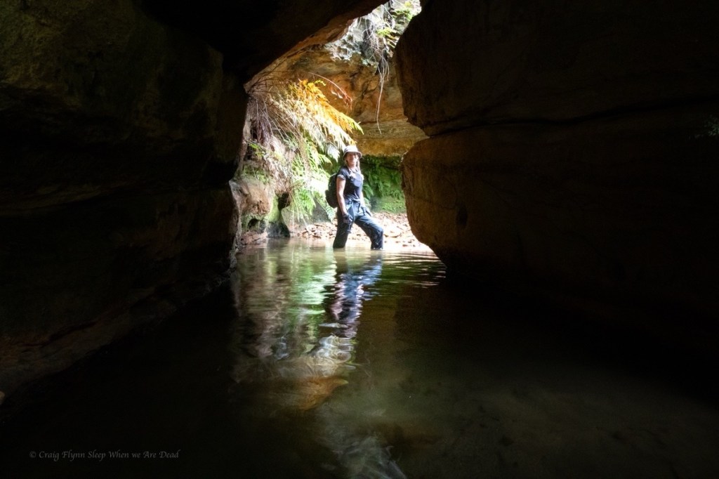
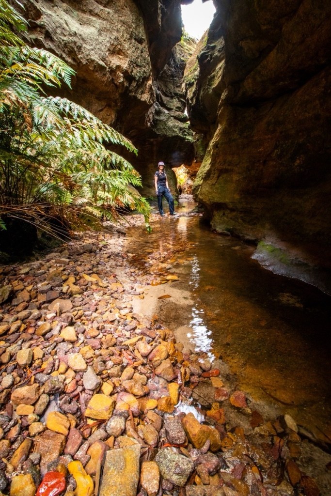
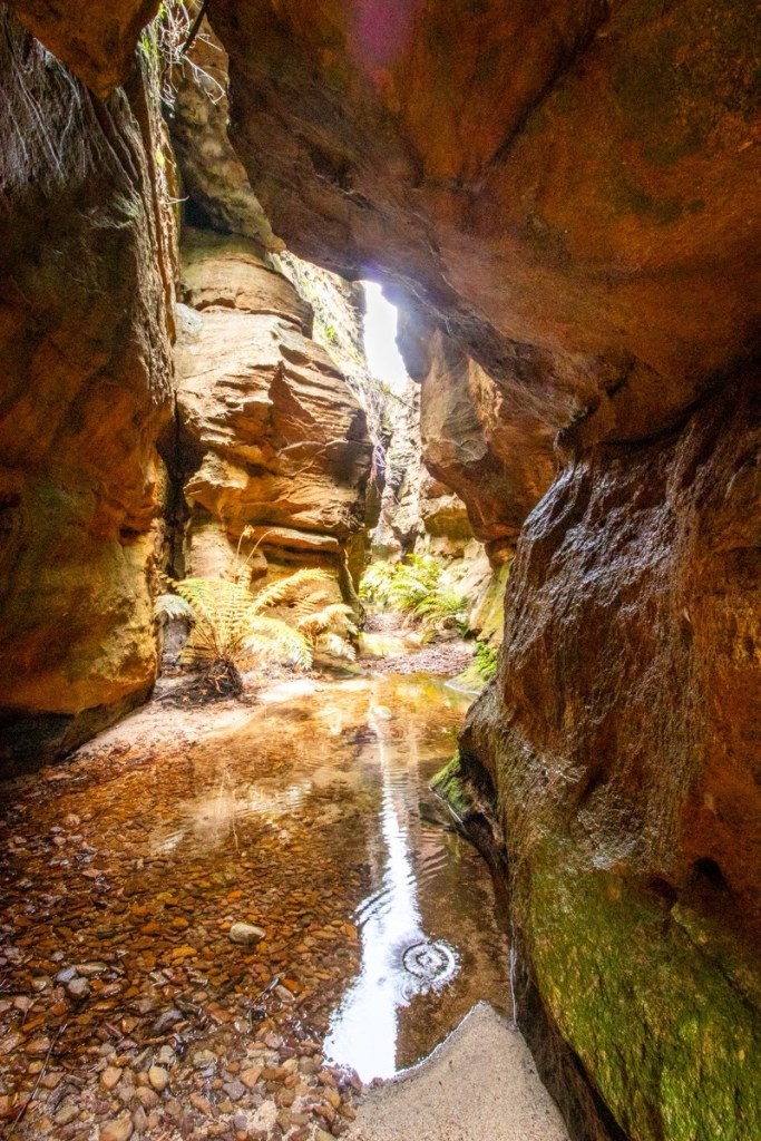
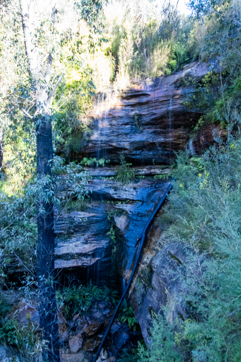
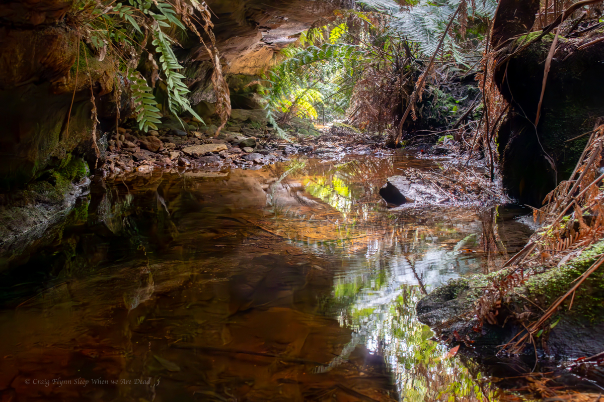
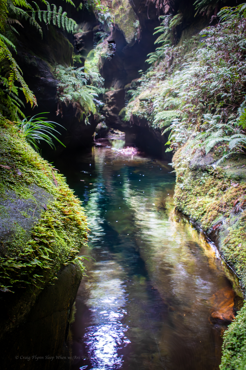
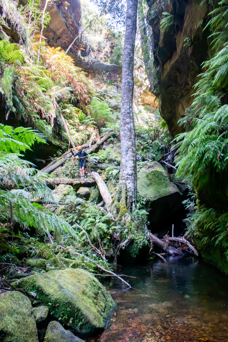
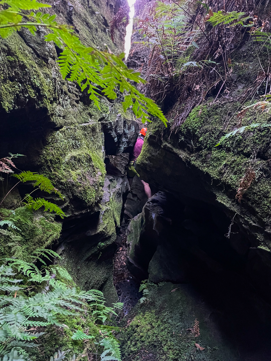
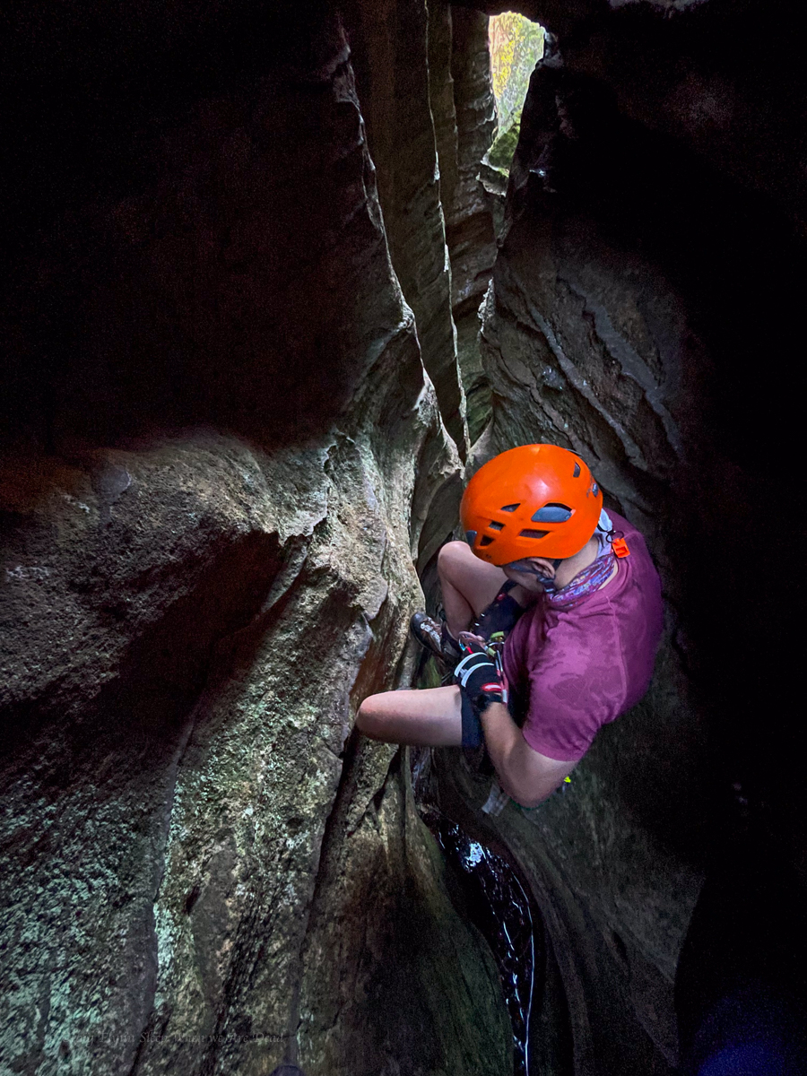
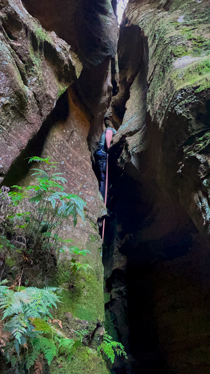
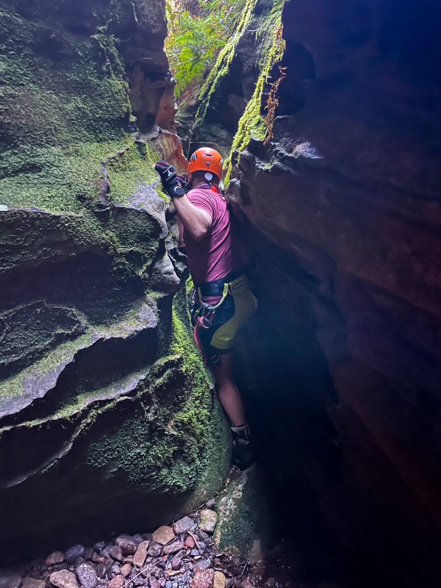
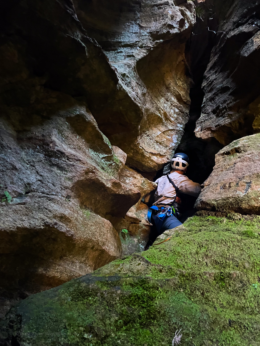
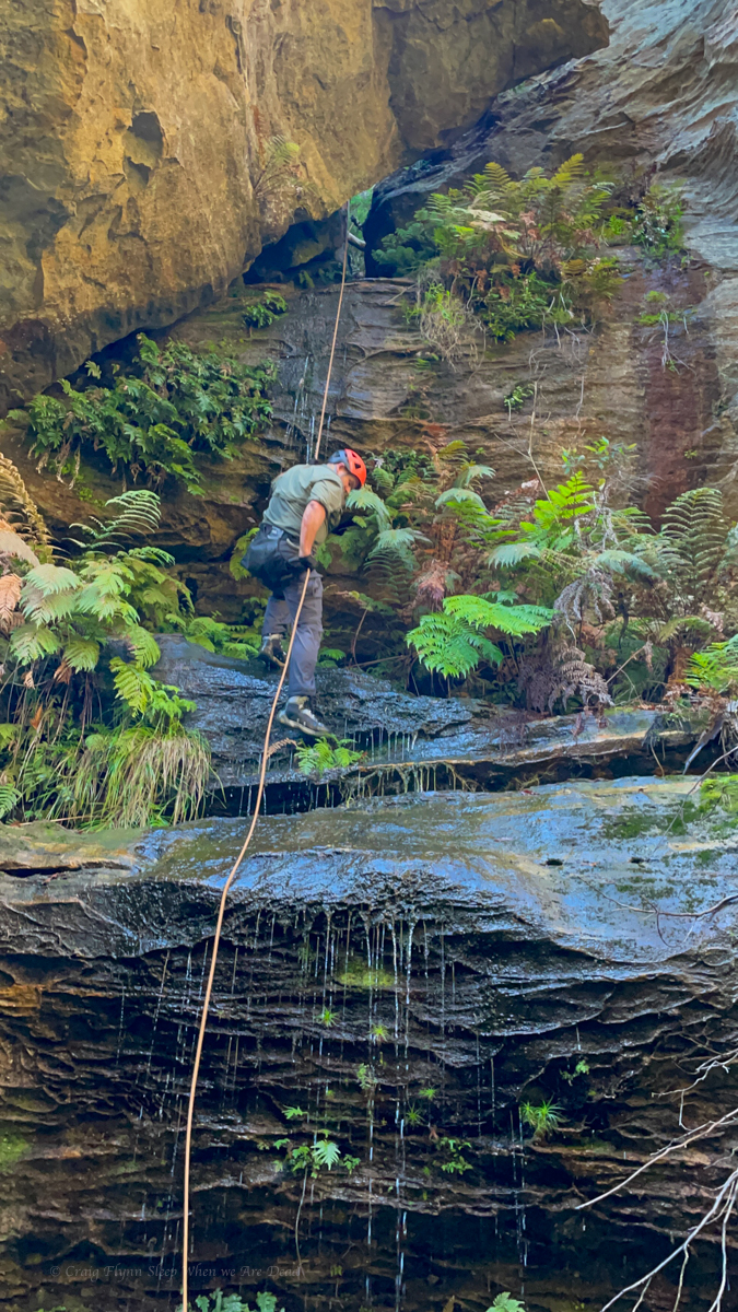
We weren’t expecting much out of this one but a short abseil gets us into a surprisingly nice slot.
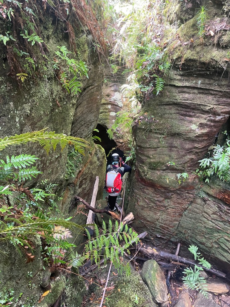
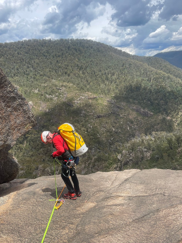
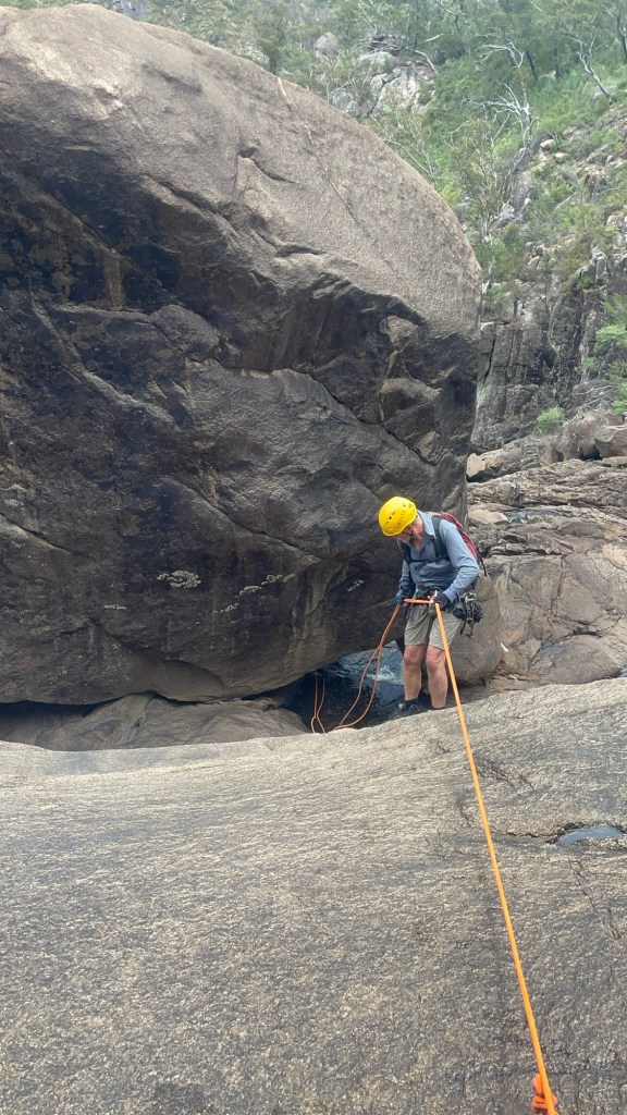
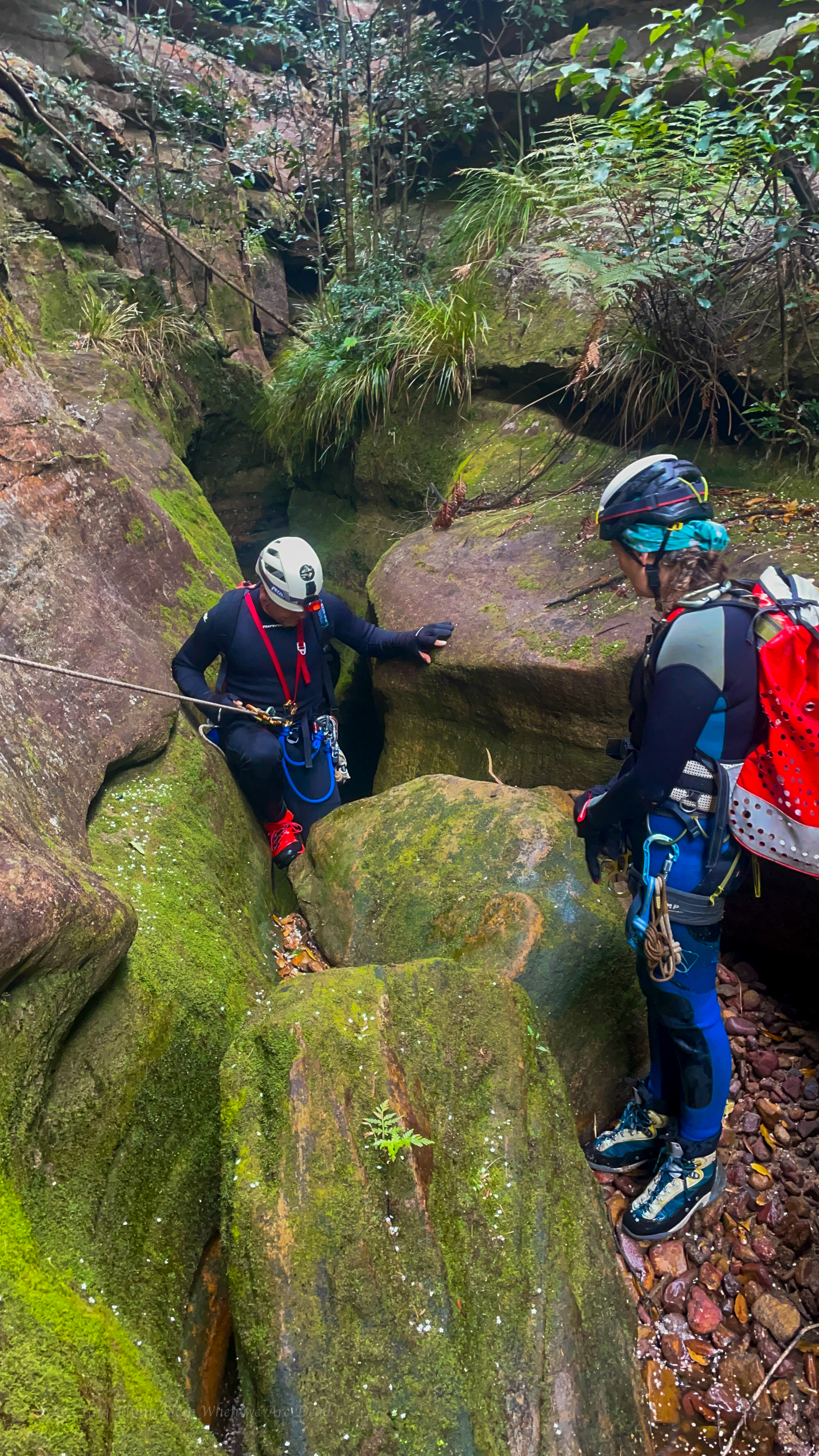
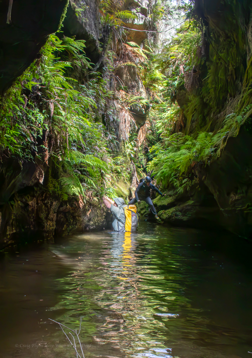
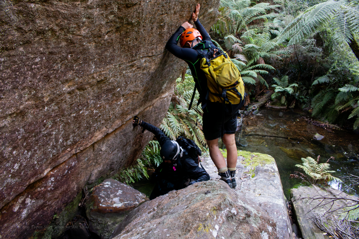
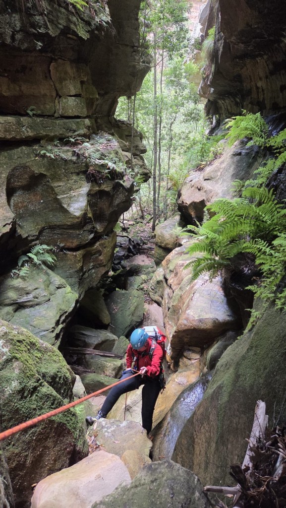
There was some interesting anchor set ups and a couple of the abseils have very tricky starts. This problem solving aspect is part of what I really enjoy about canyoning.
Don’t get my wrong, on popular trips where hordes of foot steps compact tree roots and pulling rope after rope wears grooves in the rock well placed bolts are a Good Thing (TM) but they do take something away from the overall experience of problem solving. That’s probably not a major draw for most, but for me it’s a big part of it.
Anyhoo that’s off topic.
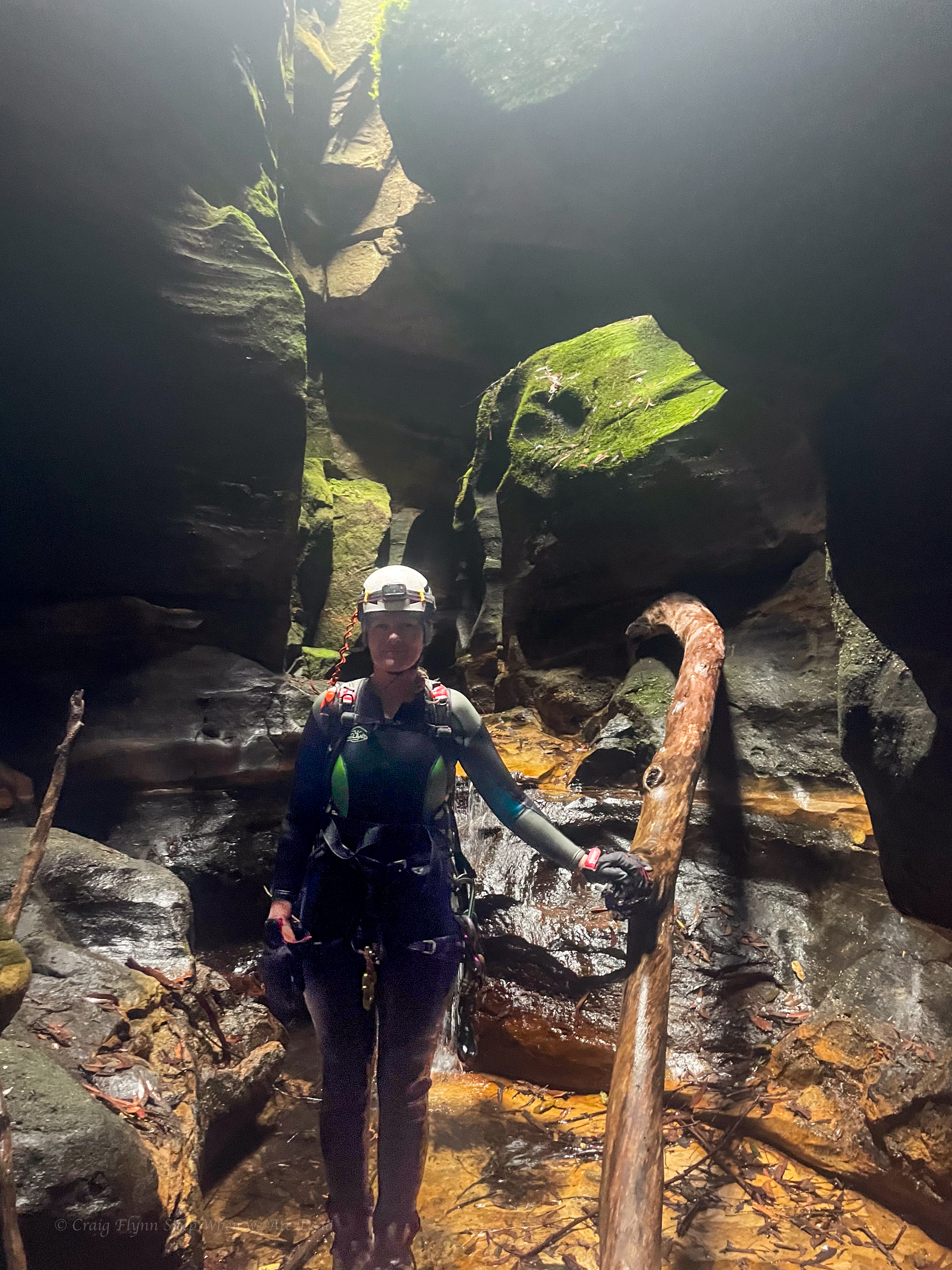
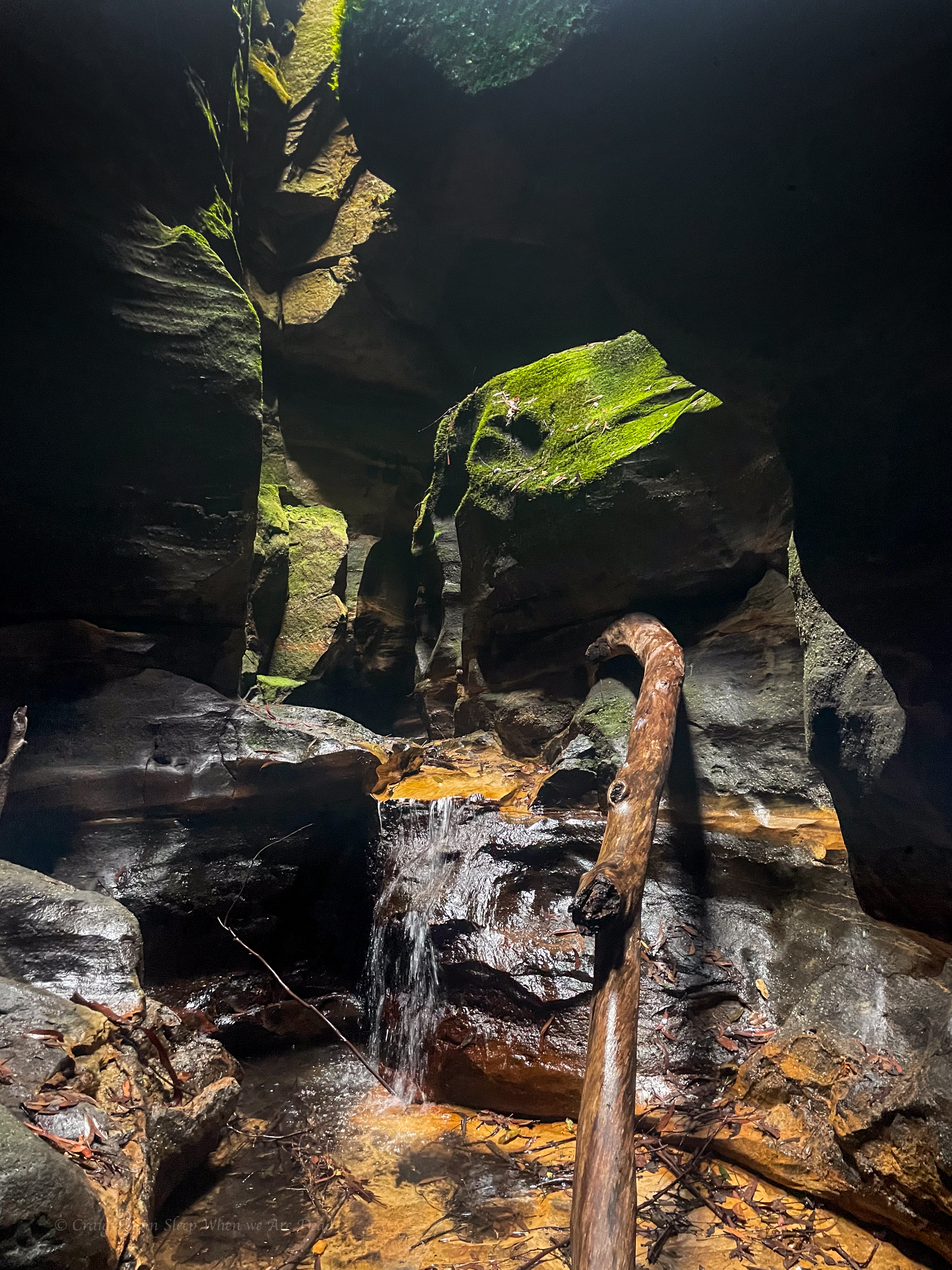
Back in the land of dodgy anchors, we check each one carefully (as you should every time). Replace what needs to be replaced and carefully consider the remnant dodginess
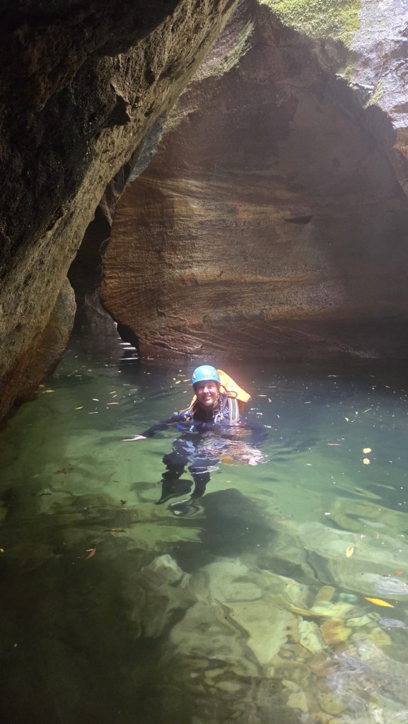

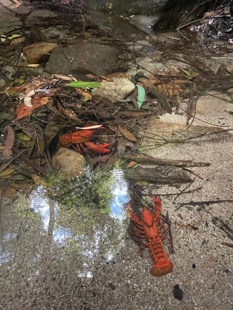
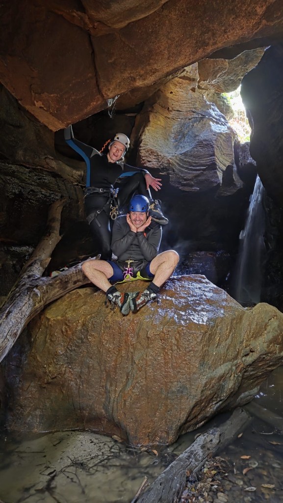
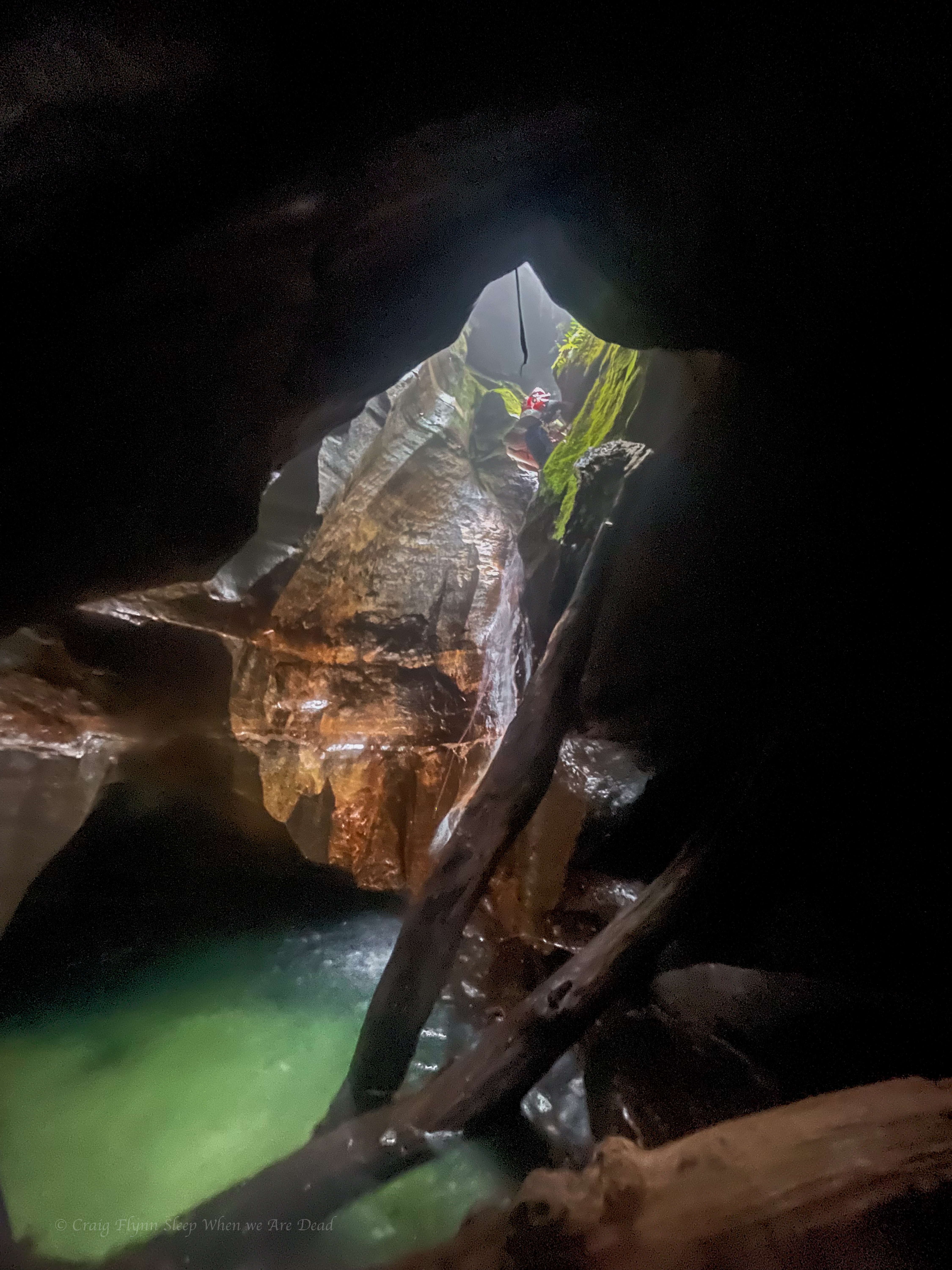
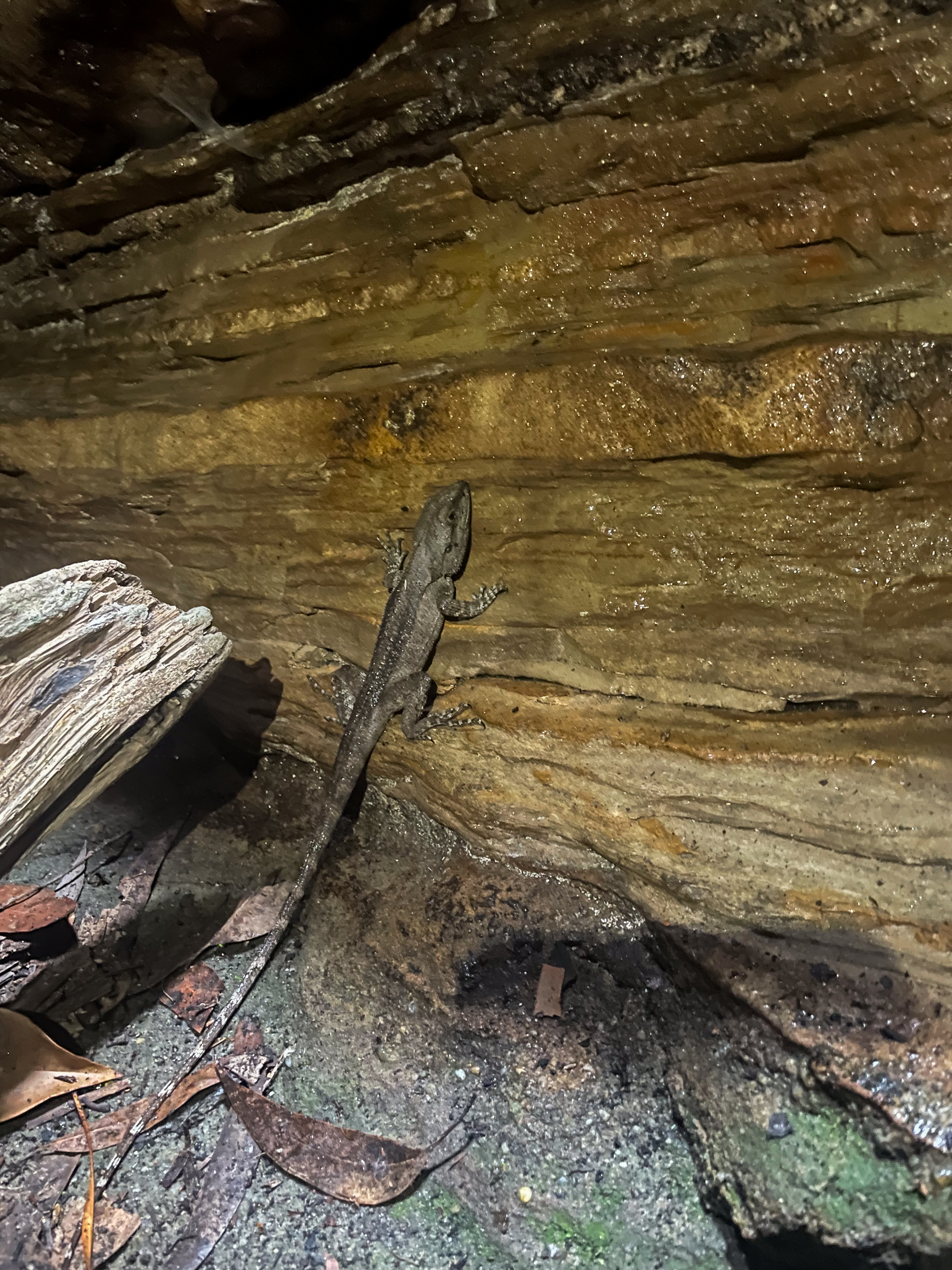
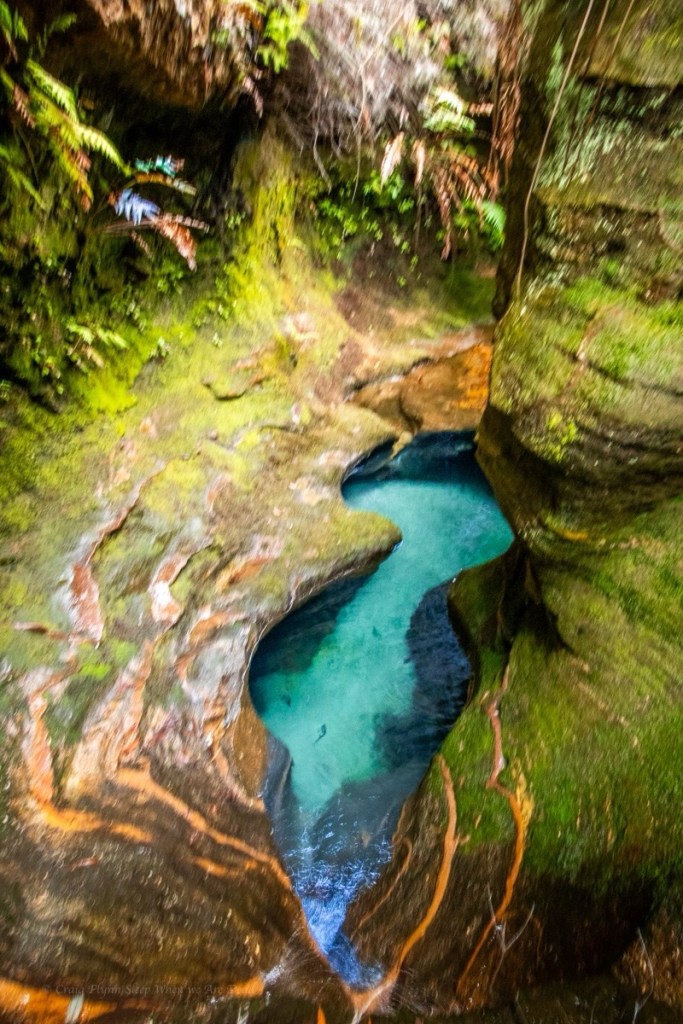
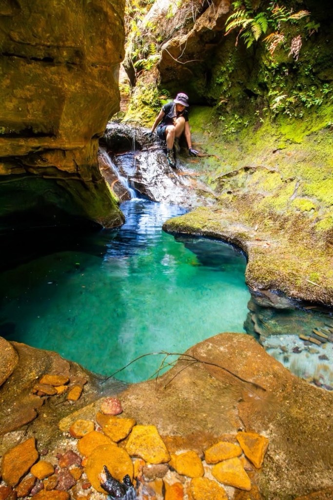
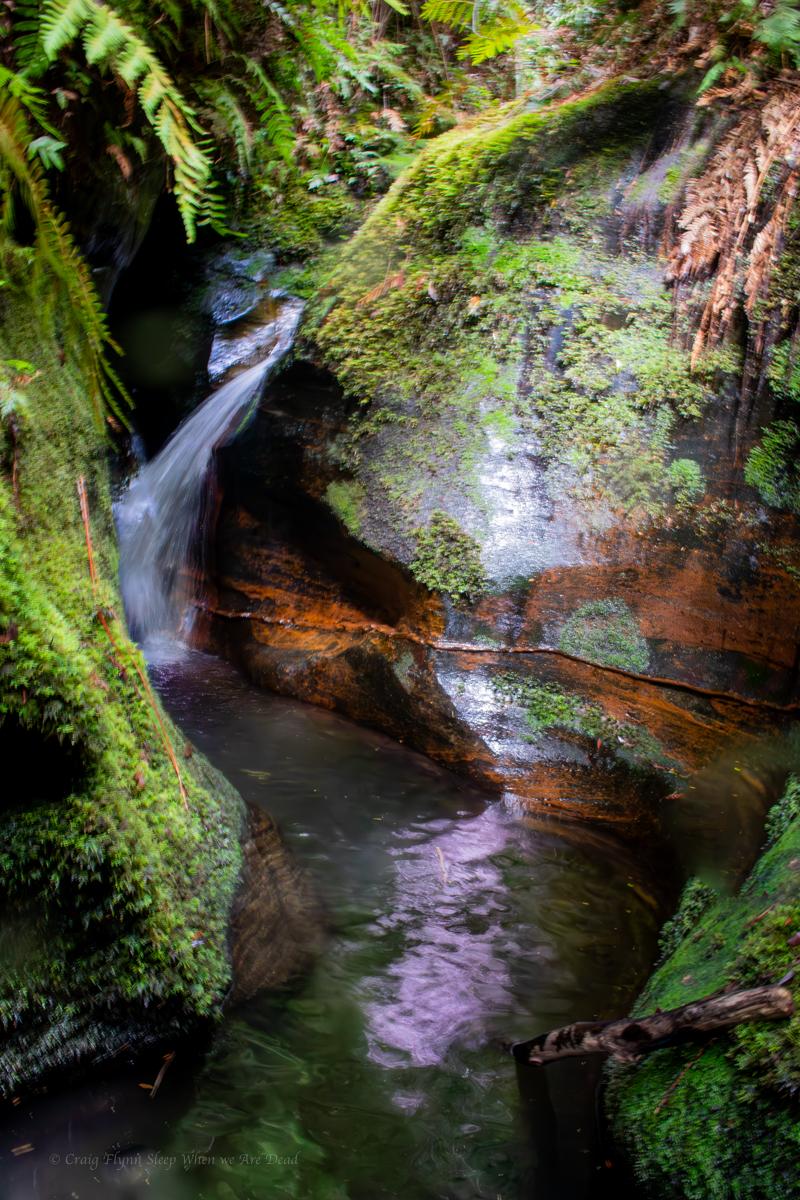
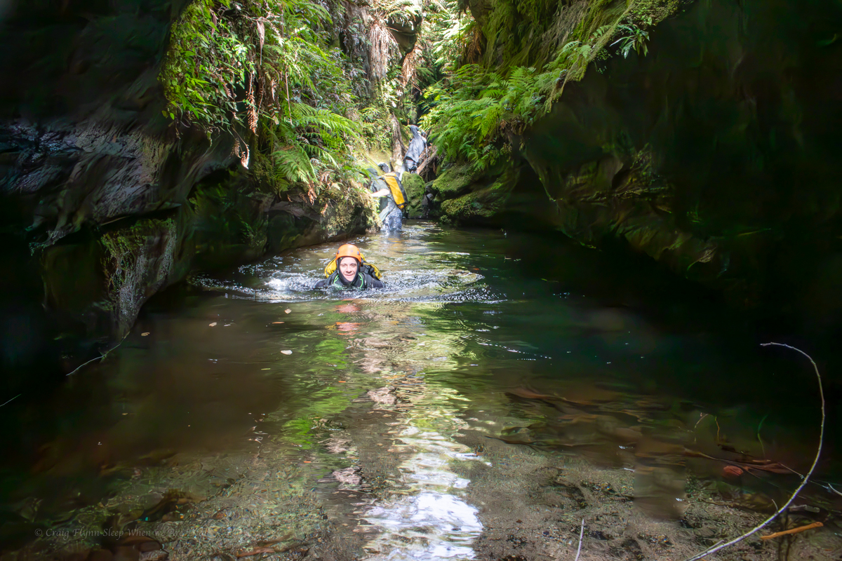
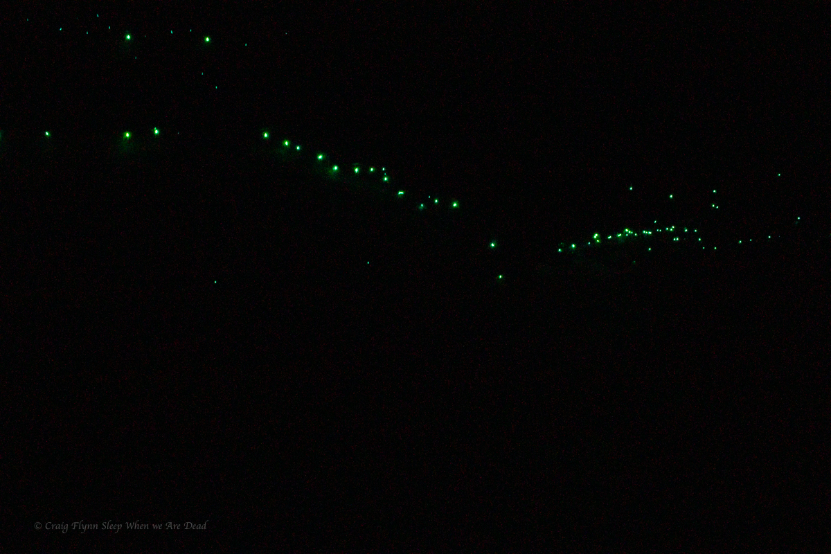
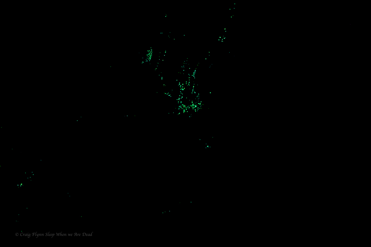
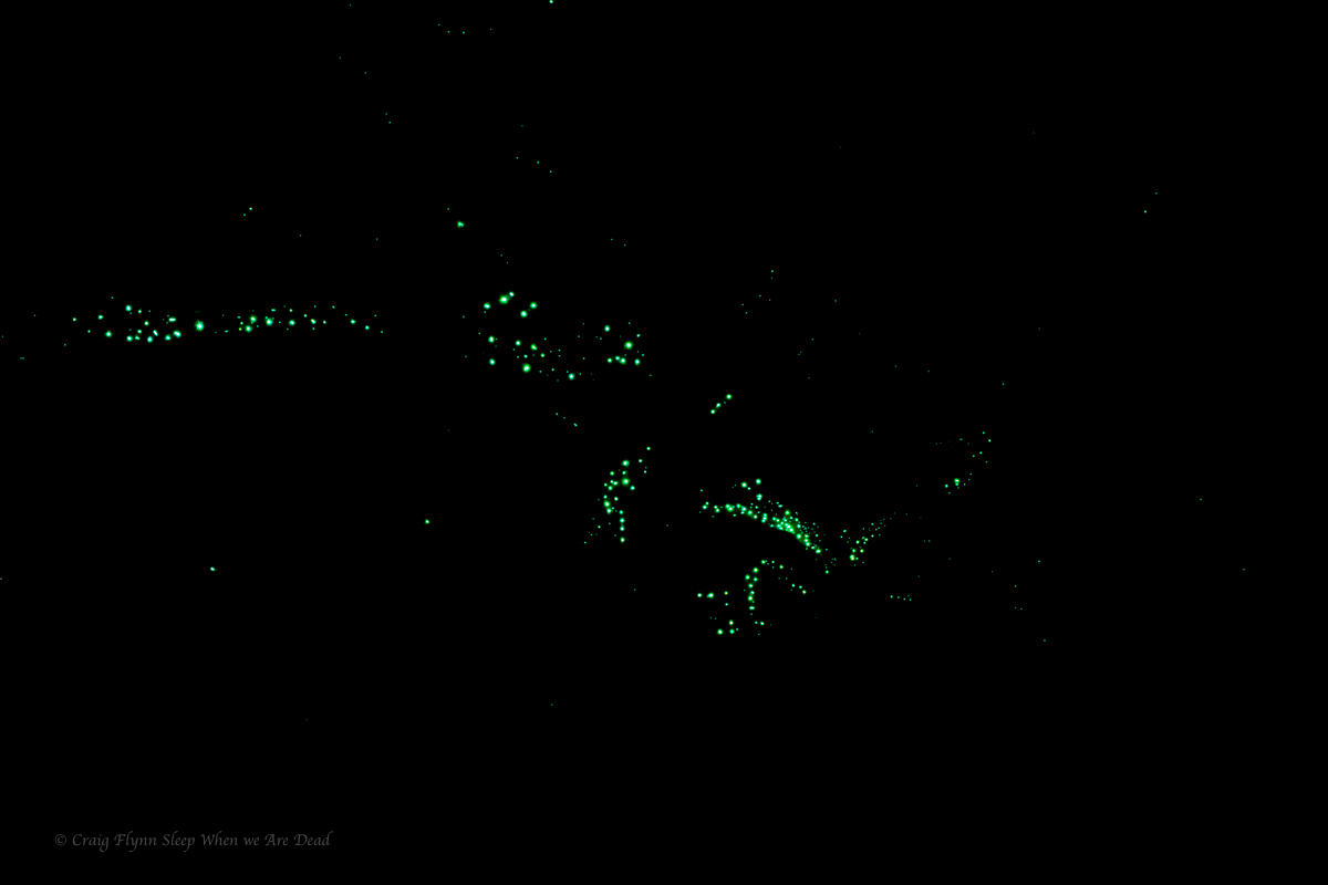
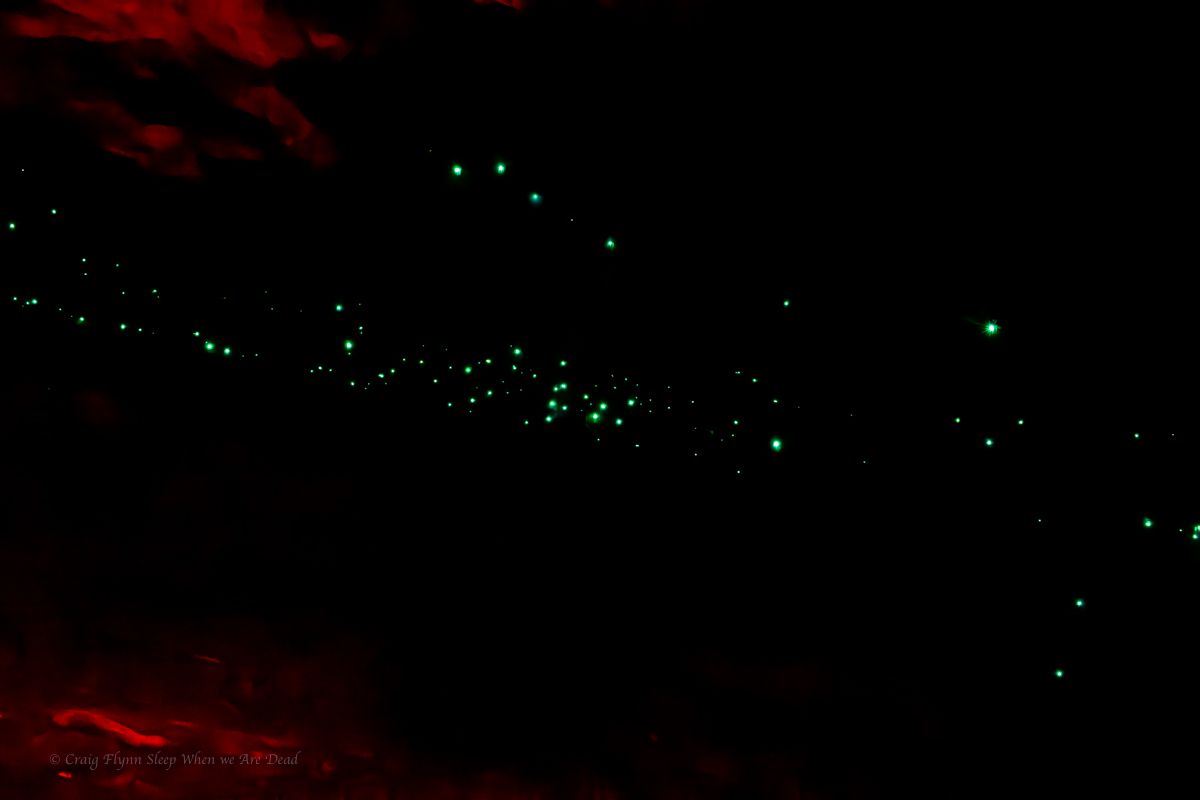
The water was so clear and the yabbies plentiful.

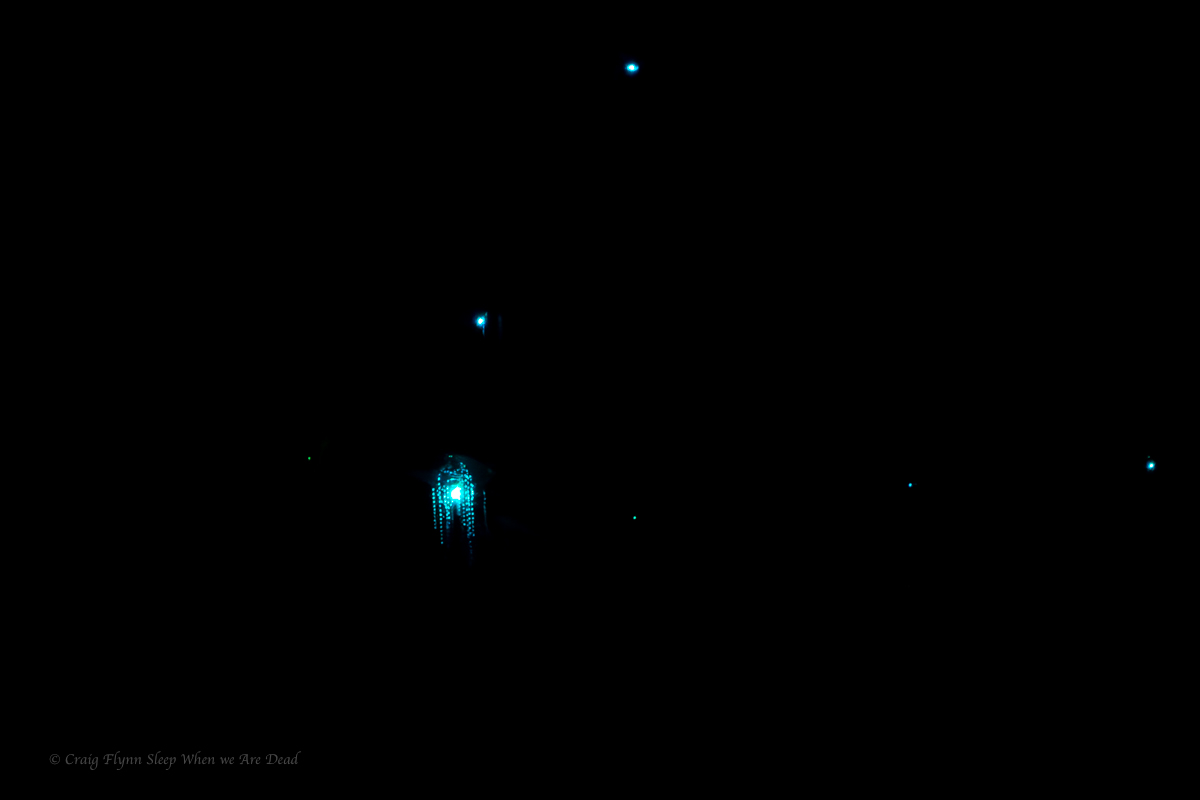
Before lone you could feel the warmth chimneying up from the ‘Gambe
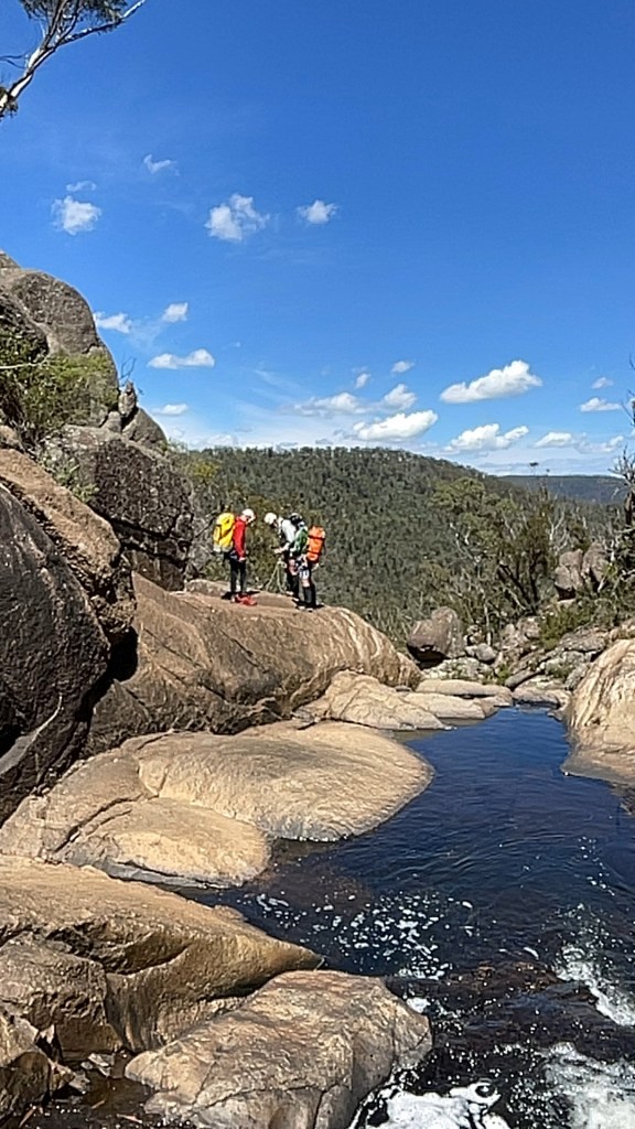
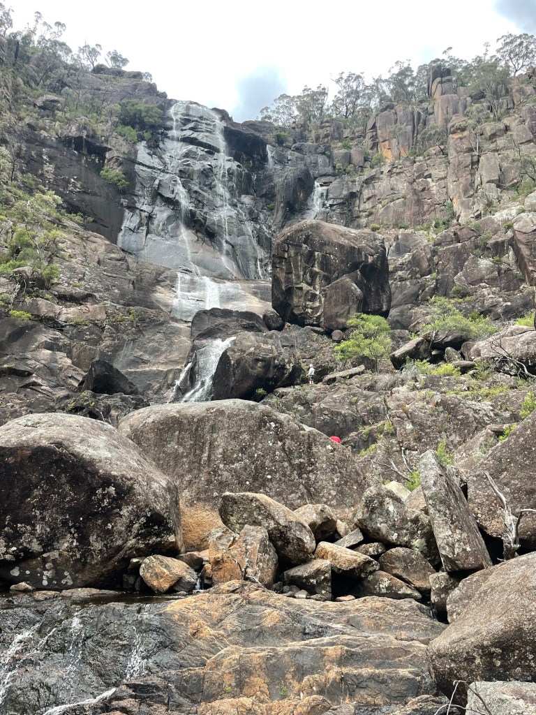
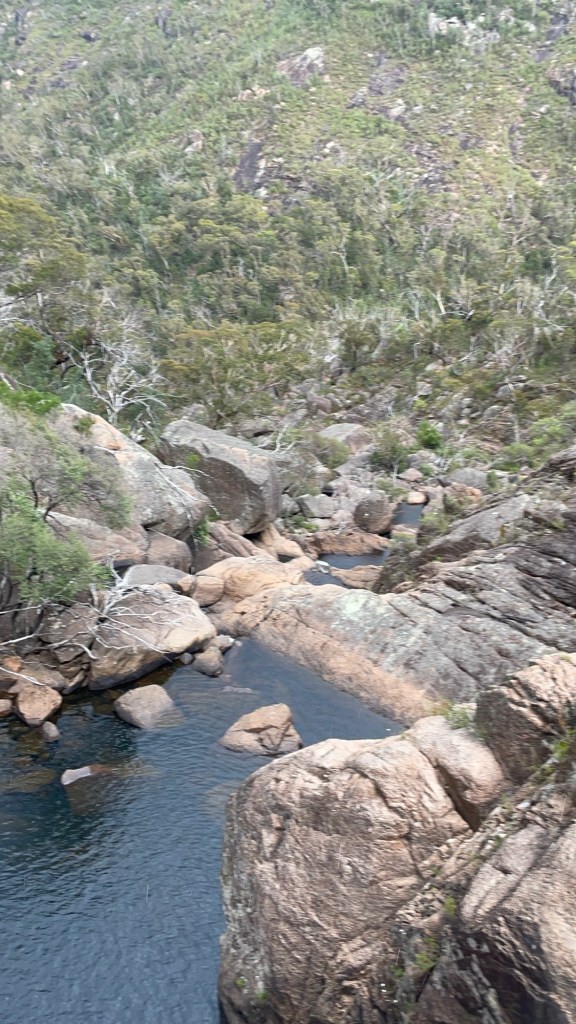
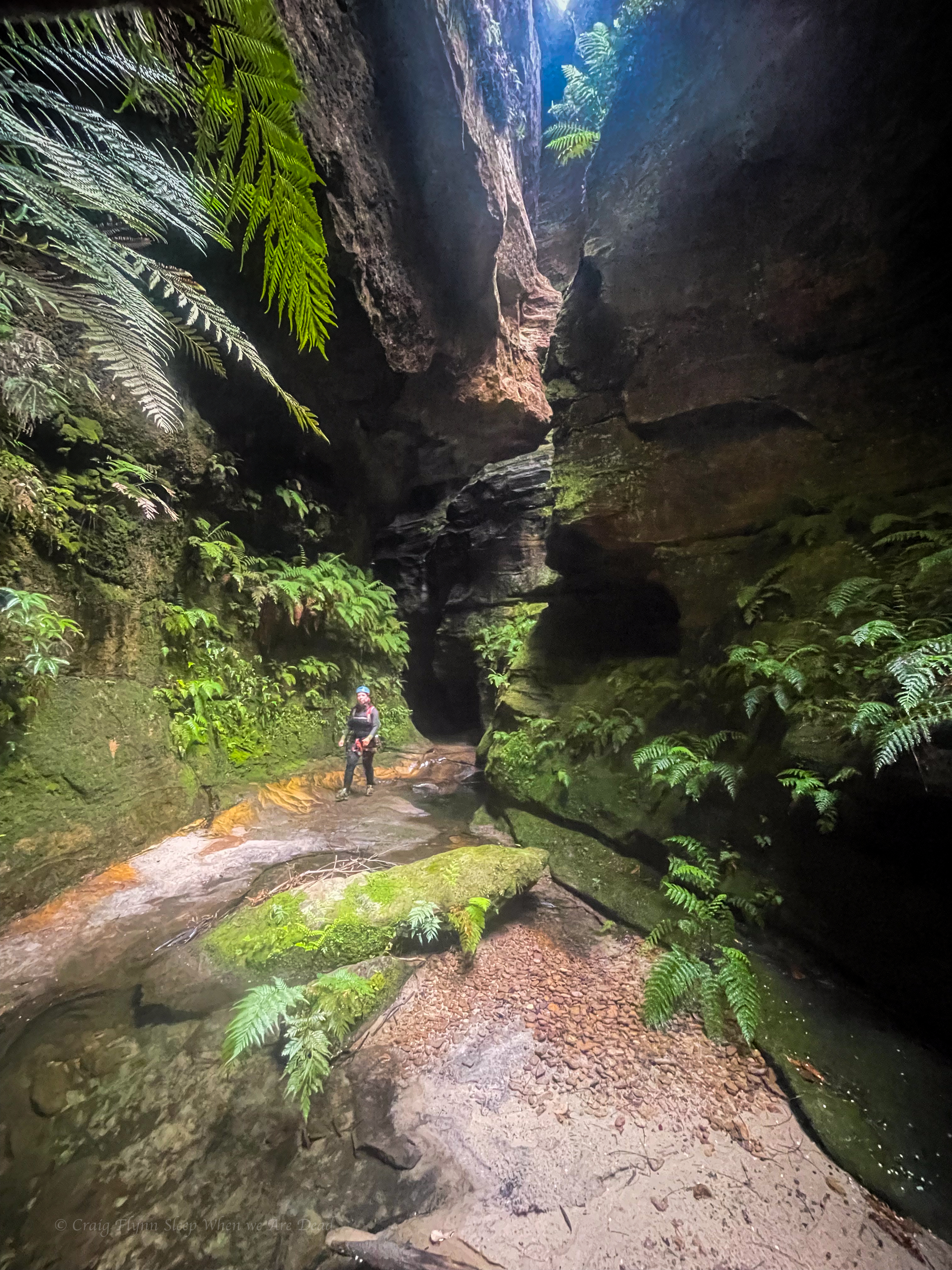
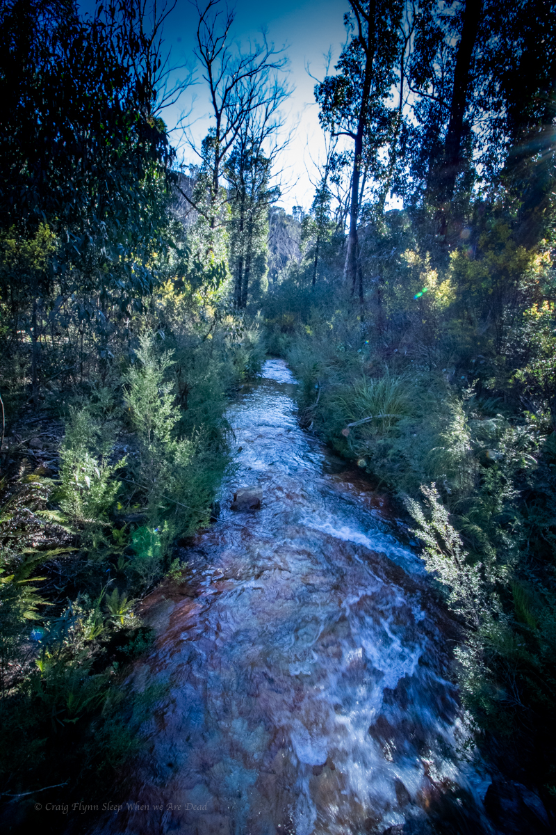
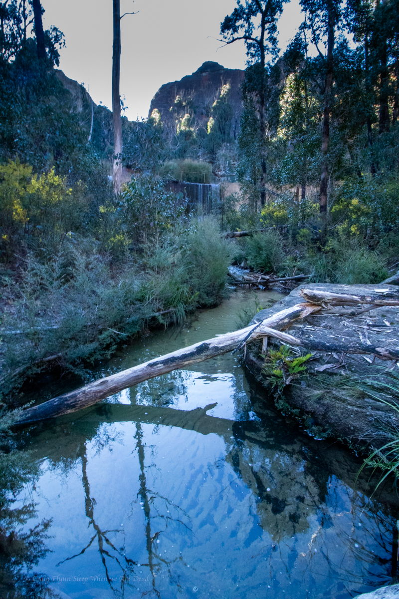
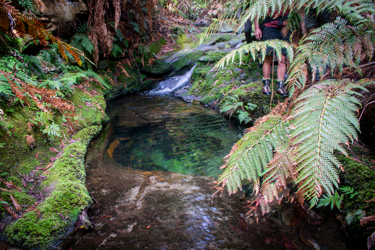
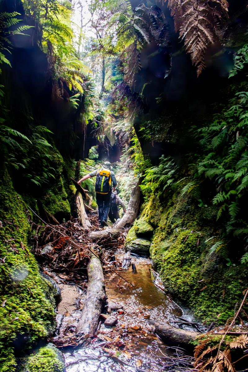
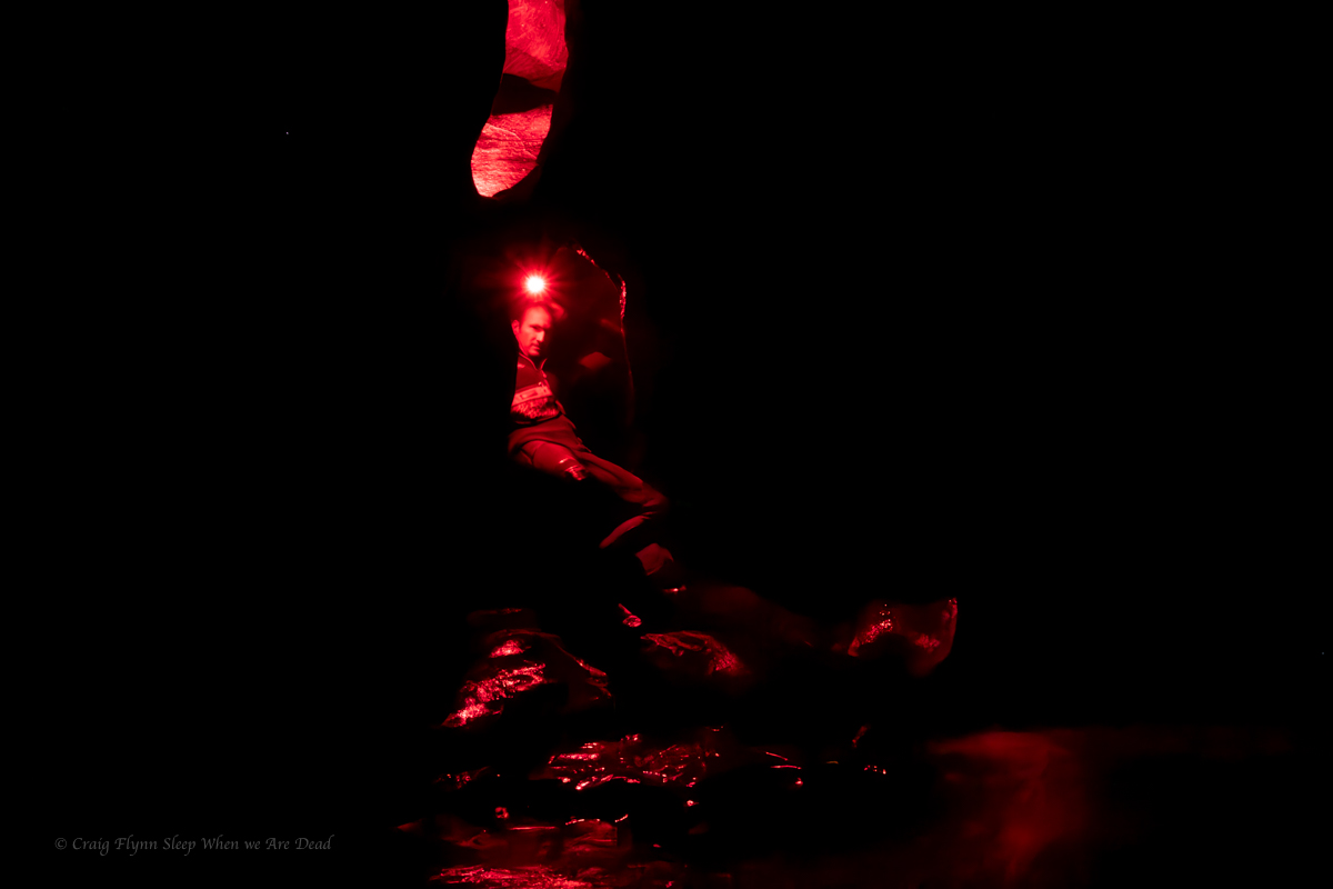
But the day is not over. Our exit is about a kilometre and half downstream.
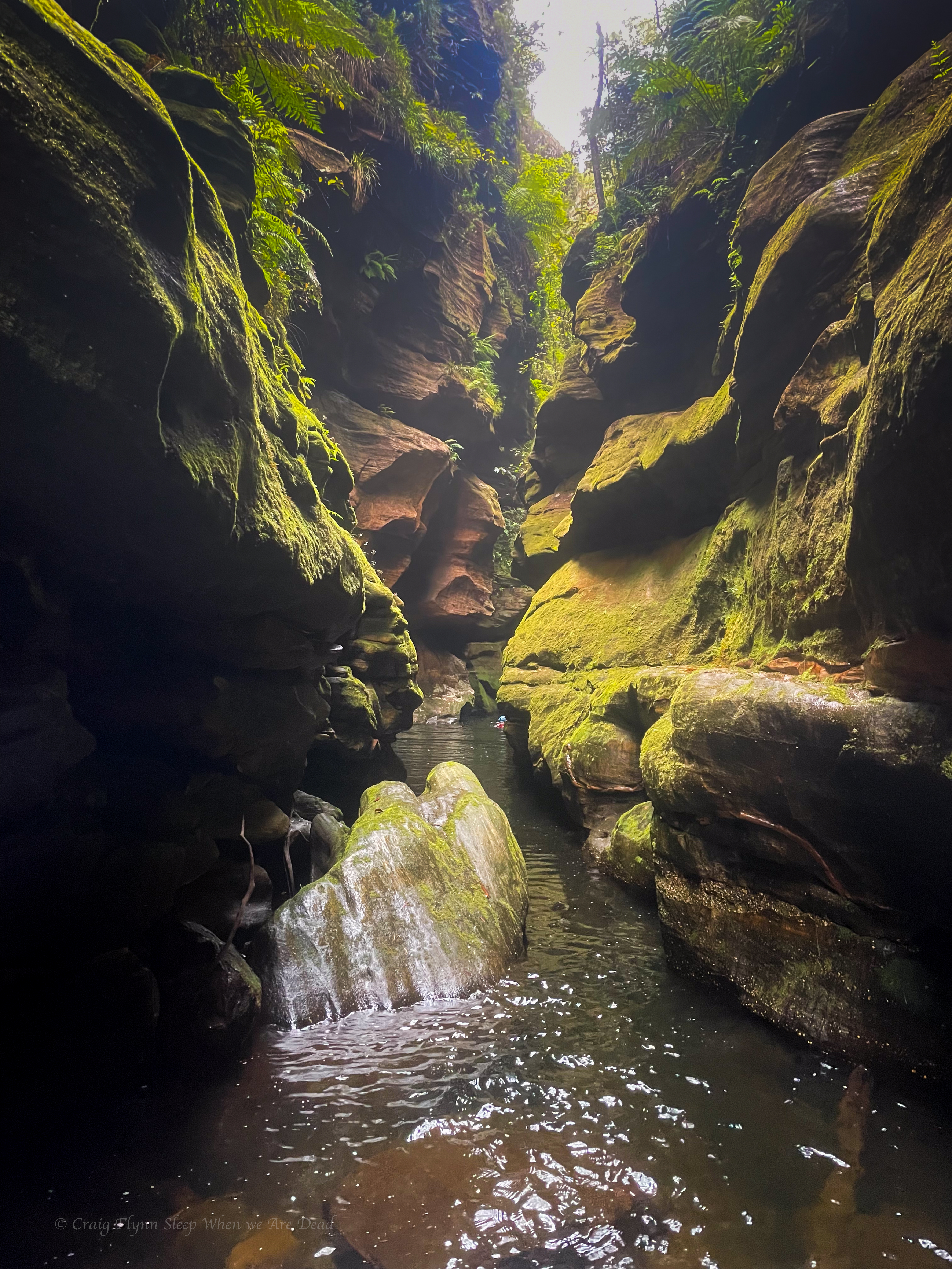
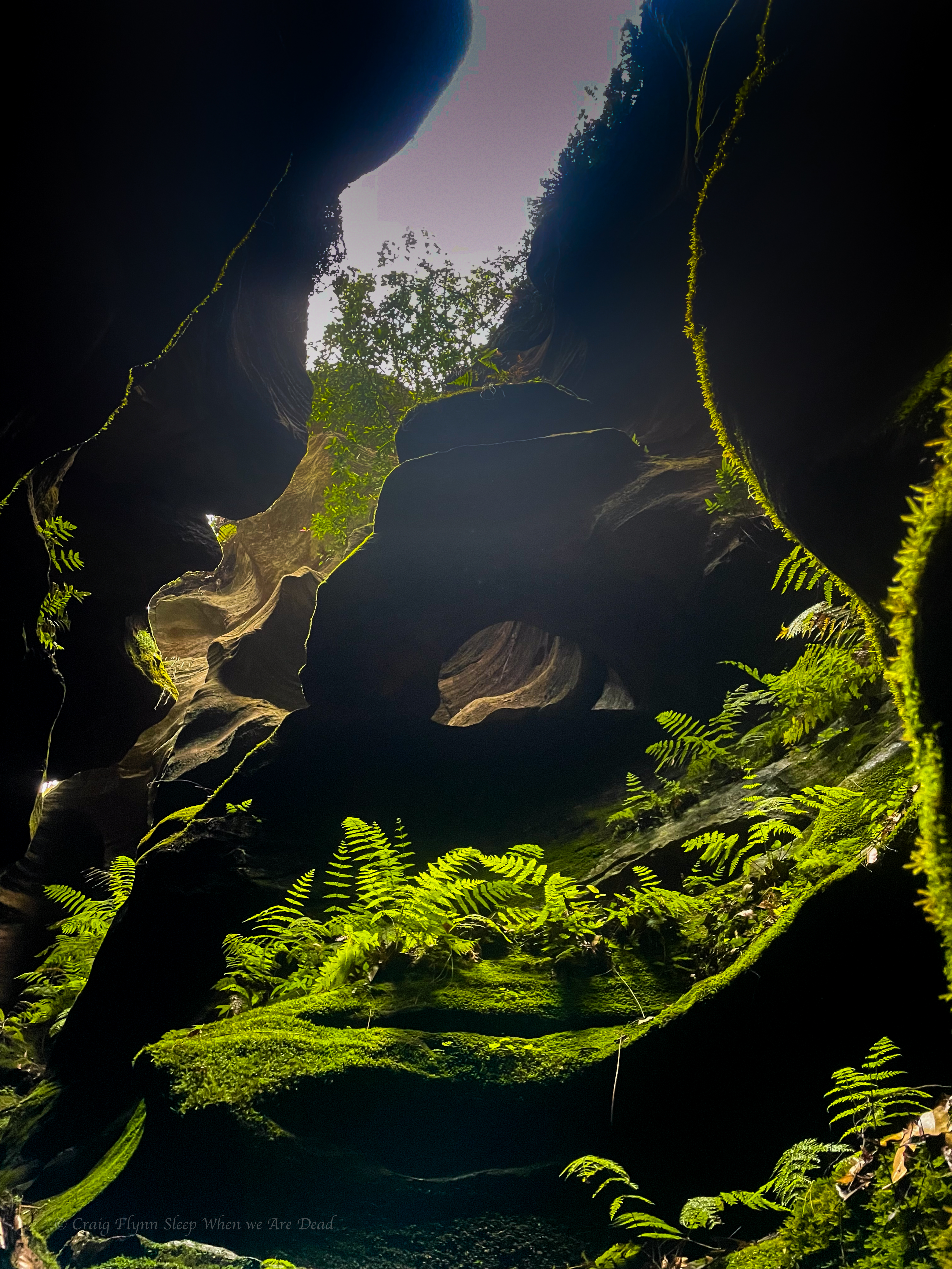
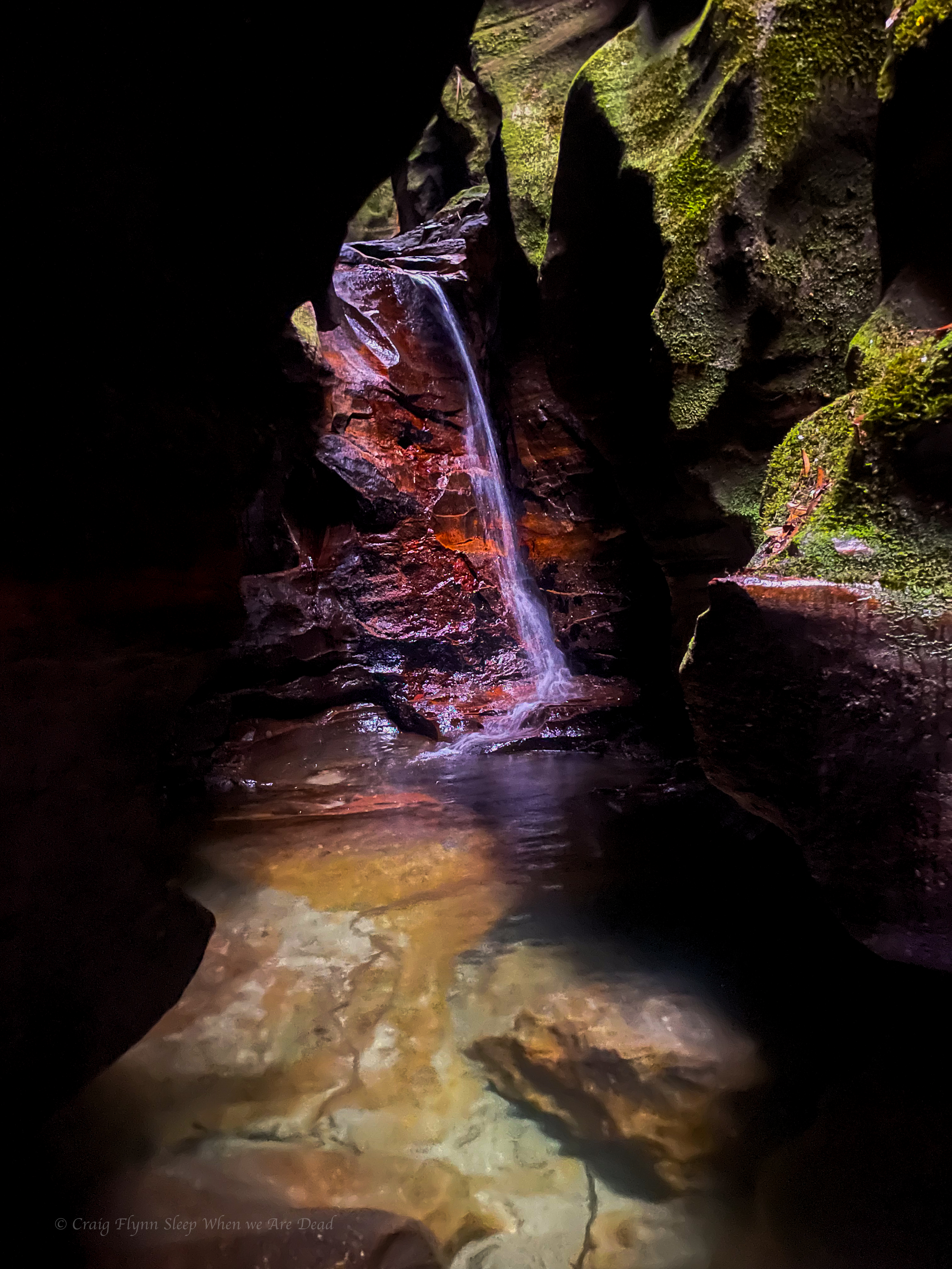
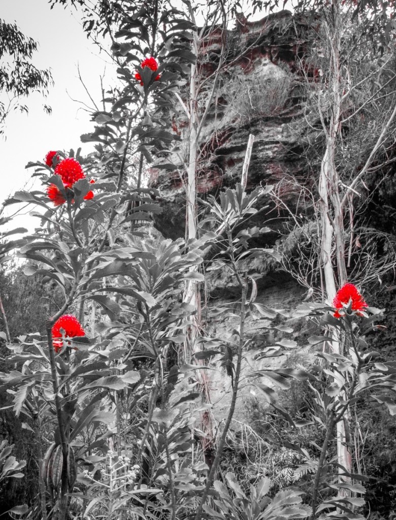
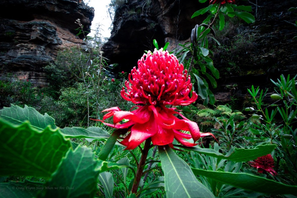
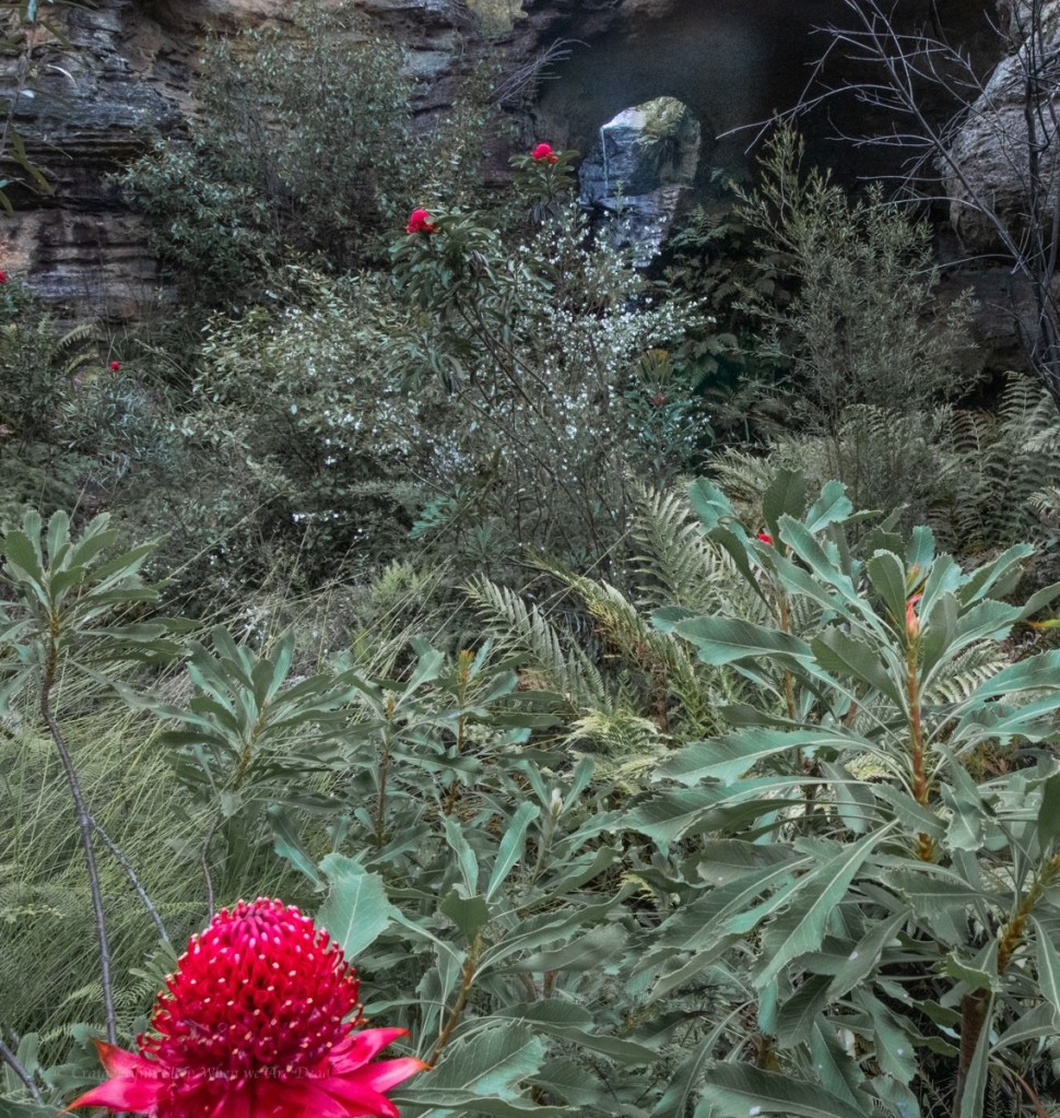
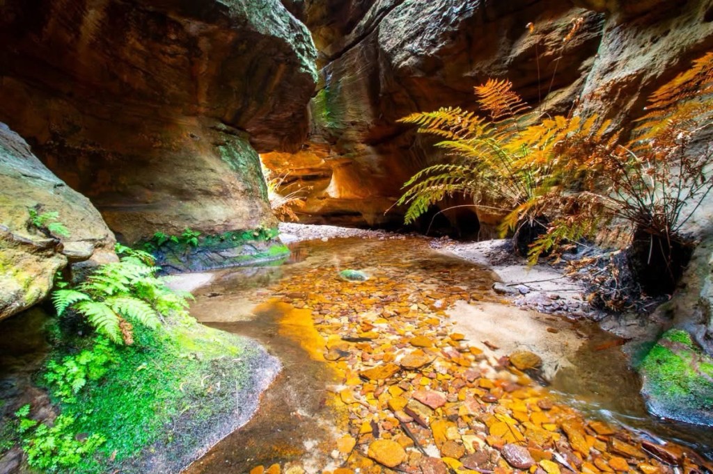
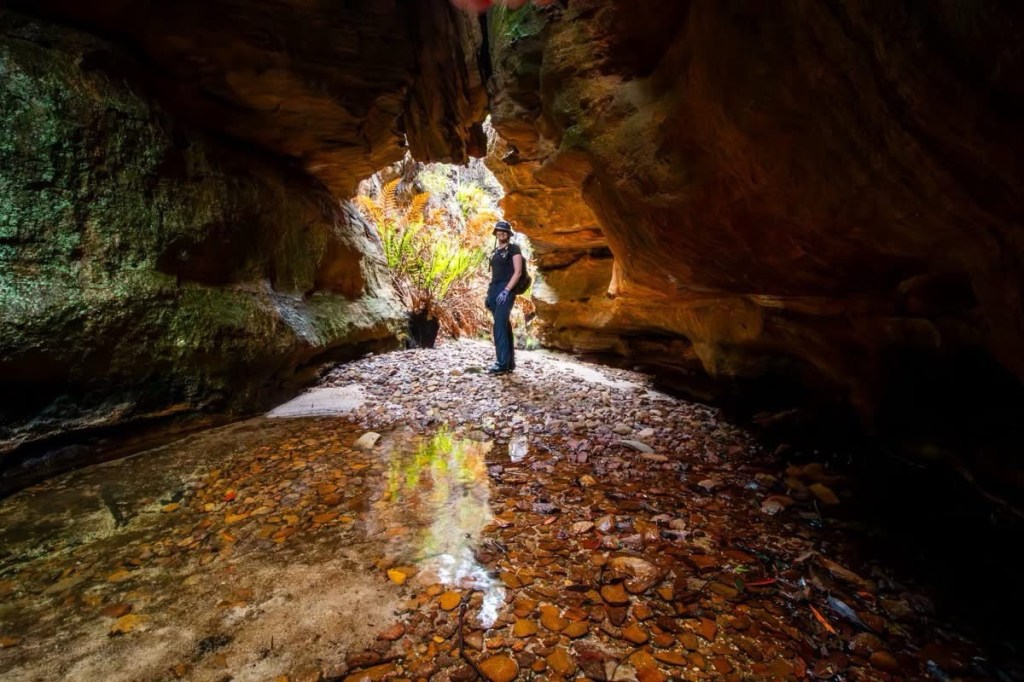
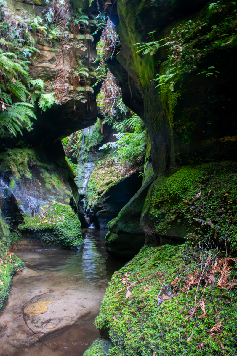
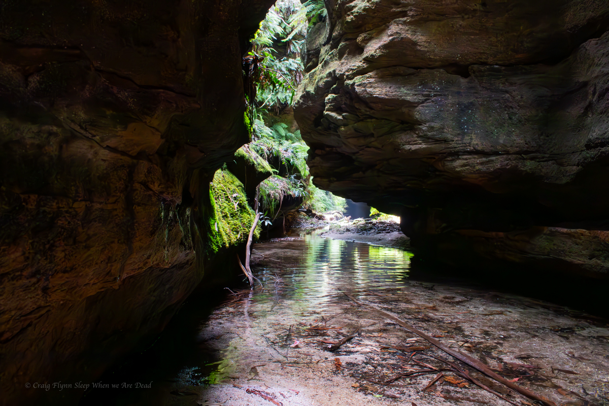
Having pretty much traced this enigmatic river from its source at Clarence to below Mt Irvine on various trips over the years I reckon this bit is the most stunning section of the ‘Game
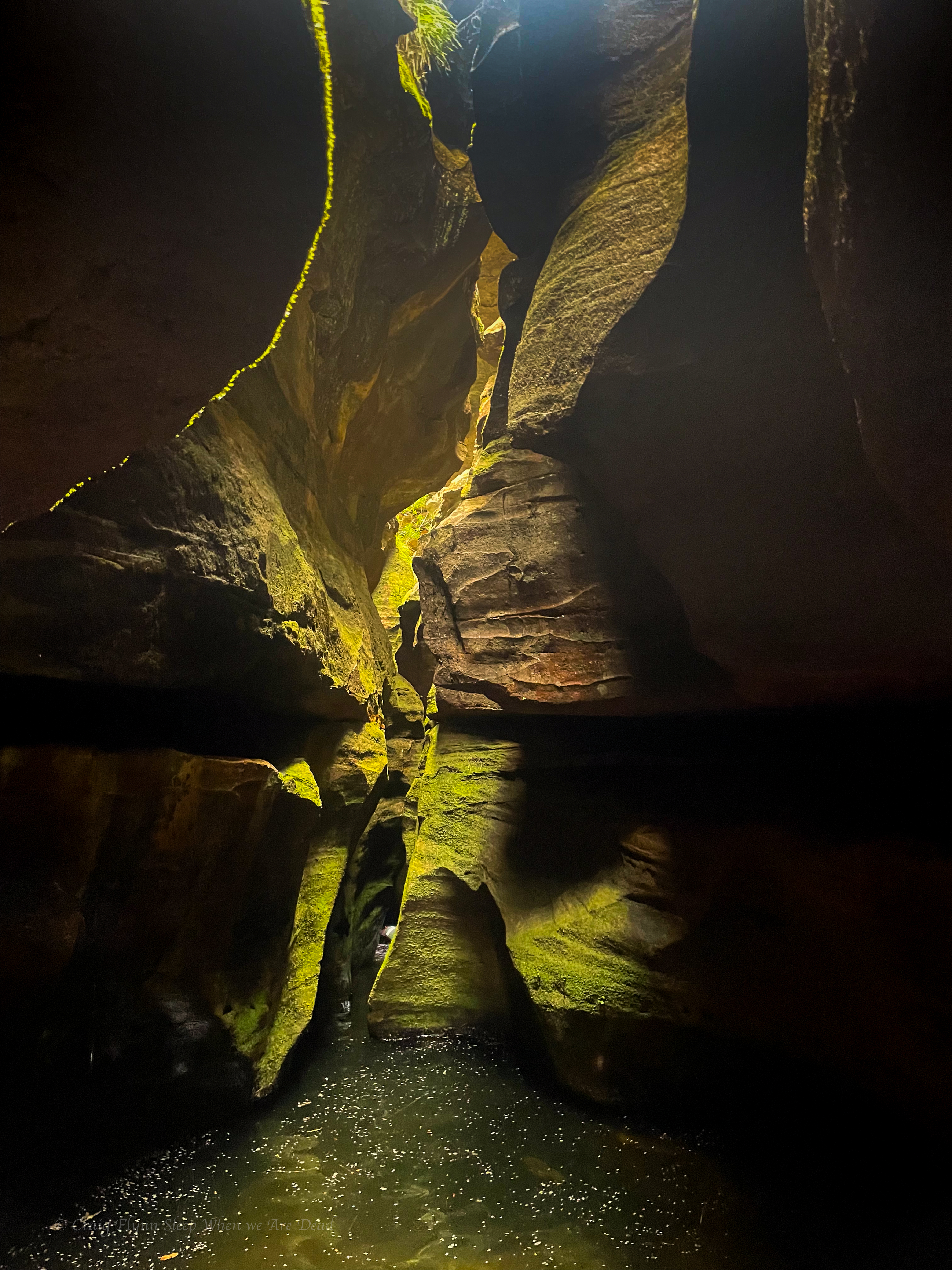
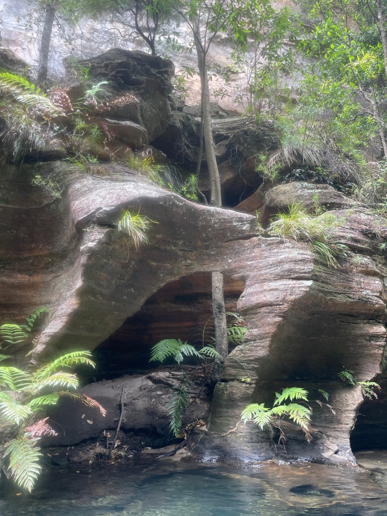
Deep walls and beautiful pools.


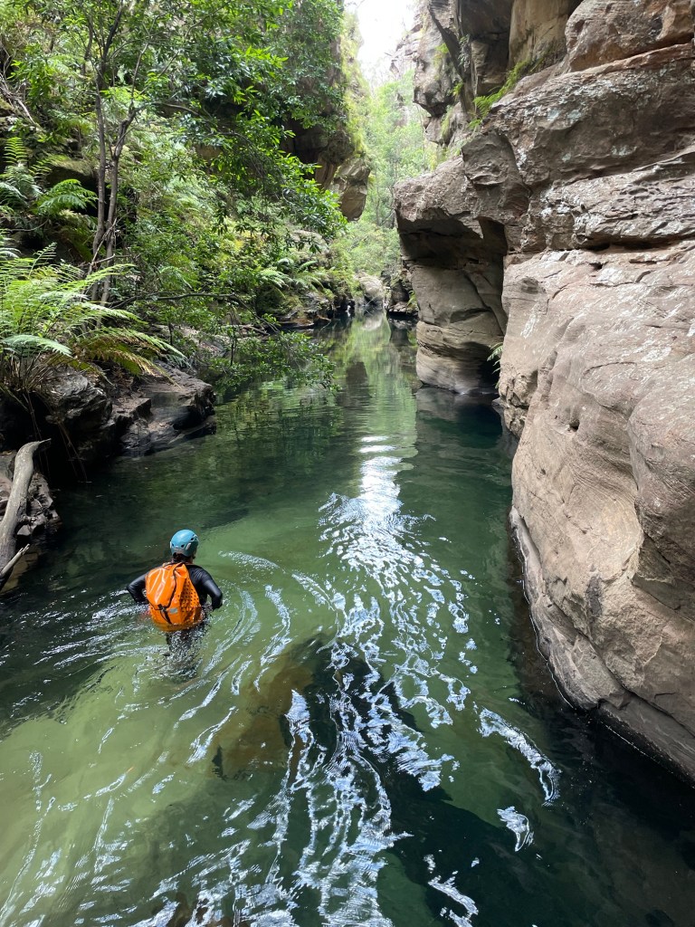

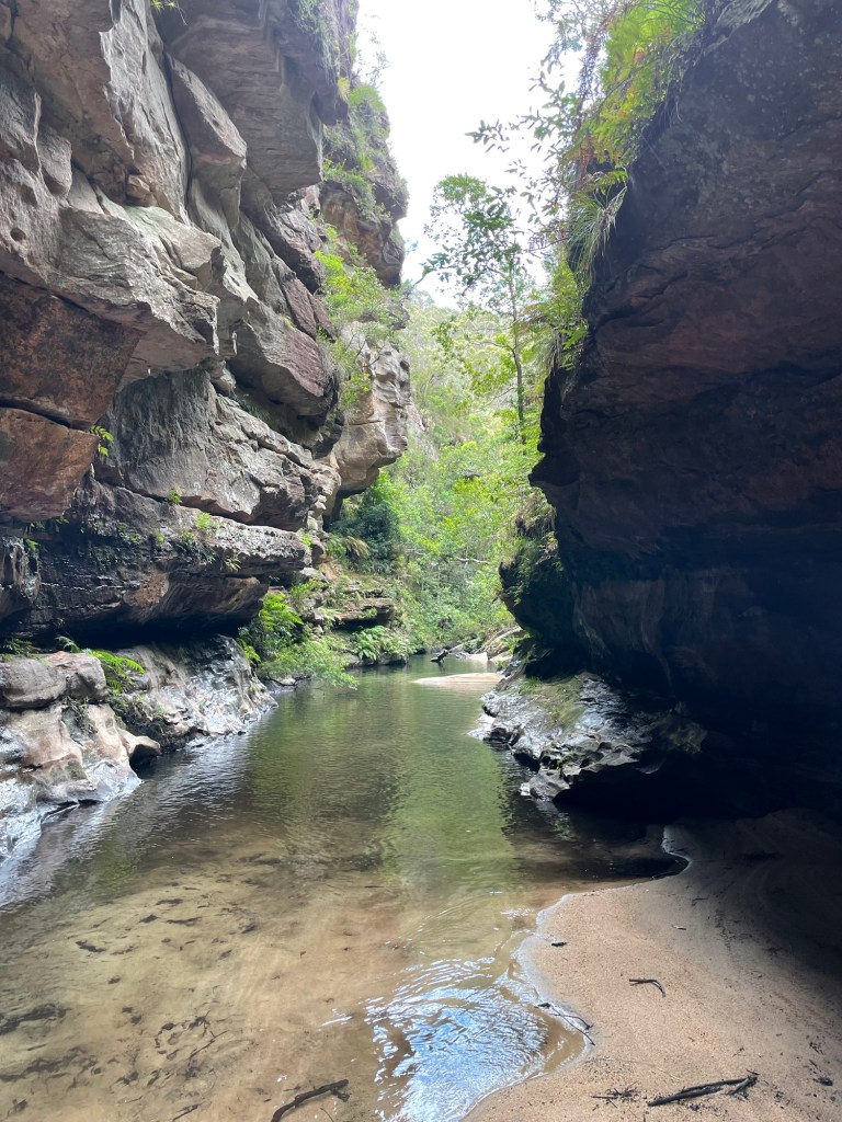
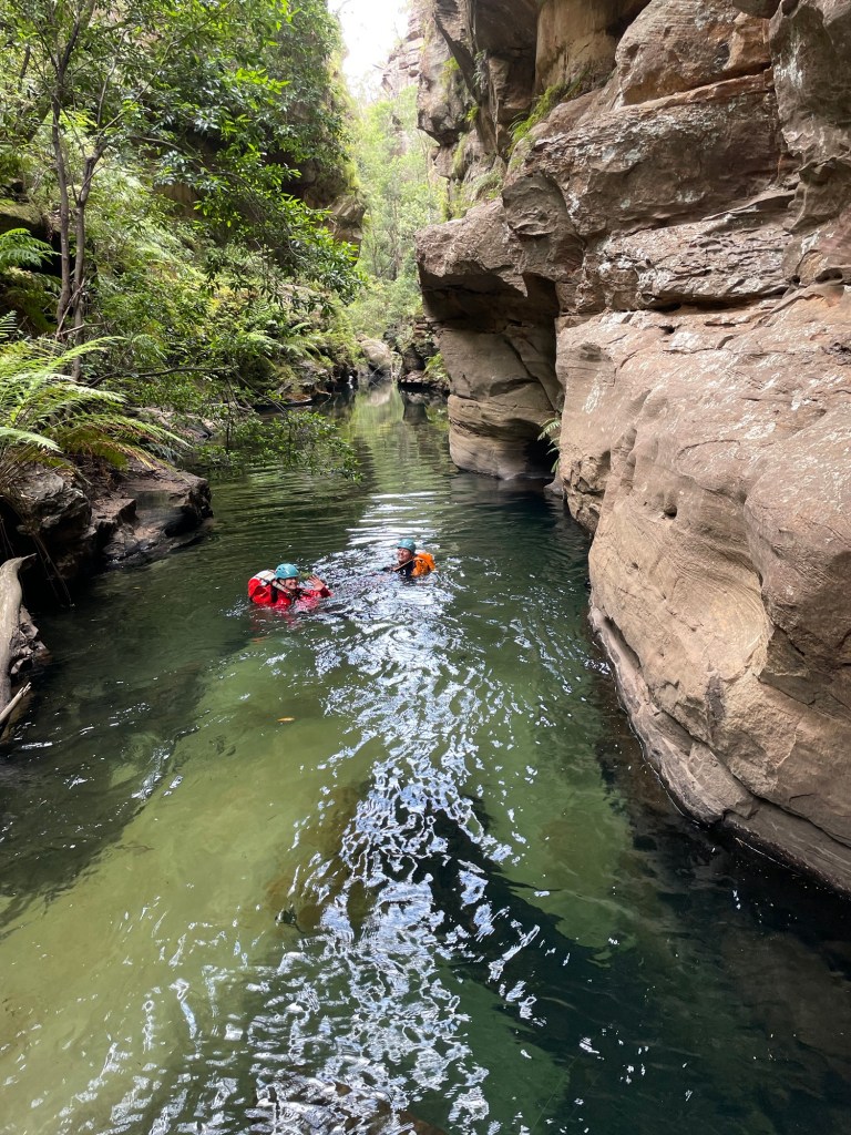
That’s said it’s not easy going with deep sand and boulder hoping between long swims zapping your energy after an already longish day .
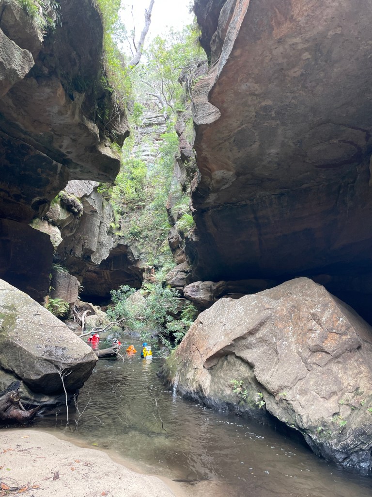
Having less foot traffic it’s also a lot slipperier in spots.

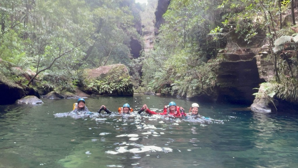
Just before our exit we catch a group from the central coast who had completed Geronimo.
We chat at the exit, cooling off at the sandy beach before making our way back up to the shed.
All in all a thoroughly enjoyable day but it was also a long day for a shortish canyon so I wouldn’t rush back to repeat the trip.
Whirlpool itself was nice and as stated it’s a beautiful section of the Wollangambe so worth doing at least once.