Over the years I’ve had a quiet giggle at the poor tourists hopelessly out of their way asking “is this the way to the campground at, um, New Ness.” their GPS’s having them very confused.
Today I gained a deeper understanding for those poor souls.
It’s pronounced “War” Gorge, said the amused cowcockie we waved down to ask where the hell are we. Turn left here and you’ll see the signs. he says but where did you come from?
I get ahead of myself. That came later.
We were doing a less than direct route from Cranky Rock to Waa Gorge as we wanted to use a free camp ground at Glacial Rocks to give us access to both Waa Gorge and Sawn Rocks without too much back tracking.
The road in to the Gorge from this end was touted as 4wd and fair weather only so we wanted to swing by the camp to see if it was suitable and make sure the road between was doable.
The camp looked great and we continued on. GSP signal was lost.
We get a couple of bars of signal just down the road and it screams to turn right.
Veering onto Terrergee road the signs matched what we were expect, other than not mentioning the Gorge, “Road Suitable in dry weather only.”
But the road was a lot better than expected.
Must have been recently graded, said we, if this is the rough road people whine about on trip advisor…. We should have shut up.
The road takes us across the top of some beautiful county and then down steeply into the valleys. It did get a bit slippy on the descents and you could see why it would be problematic in the wet.
So far so good.
Take the second left onto “Berrigal road” Says the nice lady in the GPS.
But the second road is signposted “Haven Home road” or sumfink and it’s the only road sign we’ve seen all day and the road looks like a goat track.
We pass it.
Go back says the GPS lady.
We go back have another look. Doesn’t look right. We try the other option.
Go back says the GPS lady.
I get out my phone and check the GPS topo app. I could see where the roads go but Waa Gorge isn’t marked and I’m not 100% sure where it is.
We take the goat track. It gets rougher and rougher.
There’s some dry creek crossing we need to engage 4wd for.
This is why we bought the ute. Says I
but it gets wilder.
Eventually GPS lady says, Turn left 100m ahead.
The left was even more over grown. I check the app again.
It opens out just through there but I’m 100% sure it’s private property.
Straight will skirt around the property boundary but add 18min to the drive.
Oh well we skirt around.
We are now in 4wd more than not.
It was a fun drive.
the road links us back onto Terrergee road, about a 5min drive further on from where the GPs insisted we turn off it earlier and still no signs for Waa Gorge.
We flag down a landcruiser coming the other way, the first car we’d see all day.
Um is this the way to “Wah” Gorge, say I sheepishly.
With a wry grin the afore mentioned conversation takes place.
The GPS took us down that road back there.
That bloody goat track!, it would have tried to take you across old mates property too.
I sense this isn’t his first of such encounters.
Anyhoo we are on the right track now. If the final little bit of bumpy road into the car park is what Tripadvisor folk are complaining about they don’t know what they are missing.
It’s 38°c as we pull into the car park.
By the way, it’s pronounced “War” gorge. 🙂
Sunscrees, hats, water, electrolytes, deep breath
Ok let’s head up. drink lots and if it gets too much say early and we’ll head back.
having suffered heat stroke and dehydration before I’m extra cautious in hot weather so we have a lot of water between us.
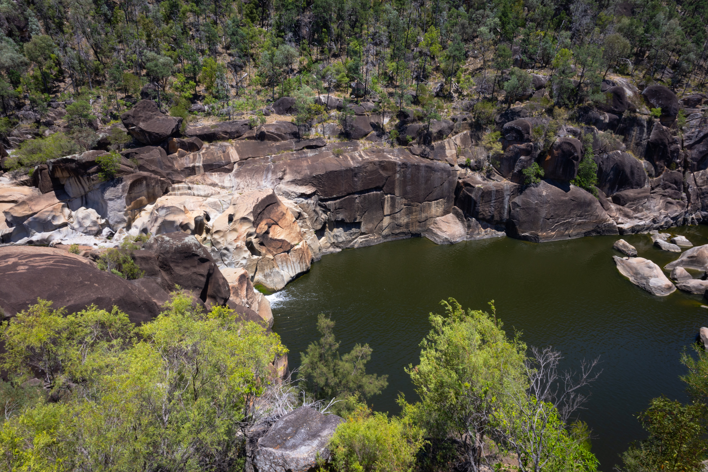
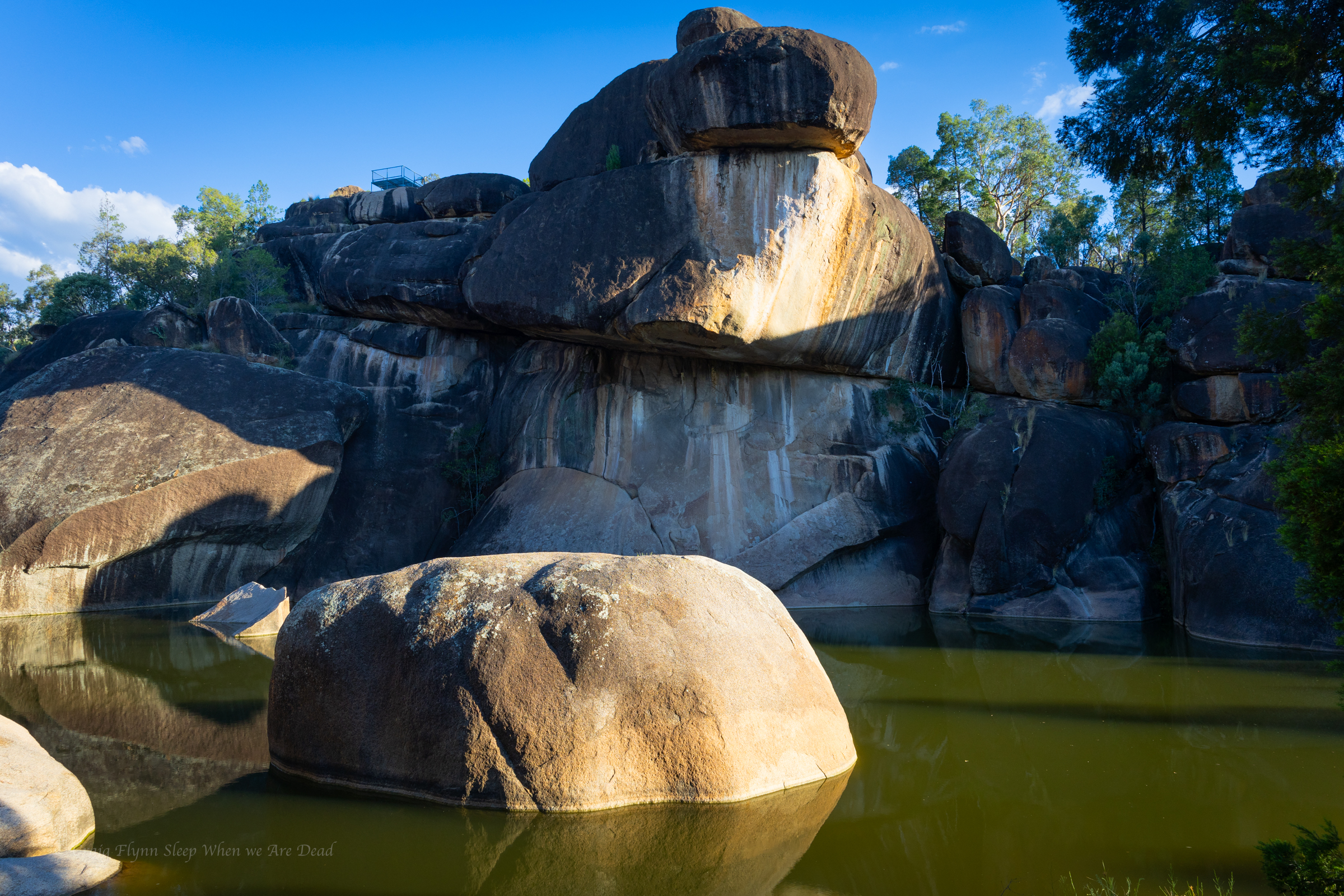
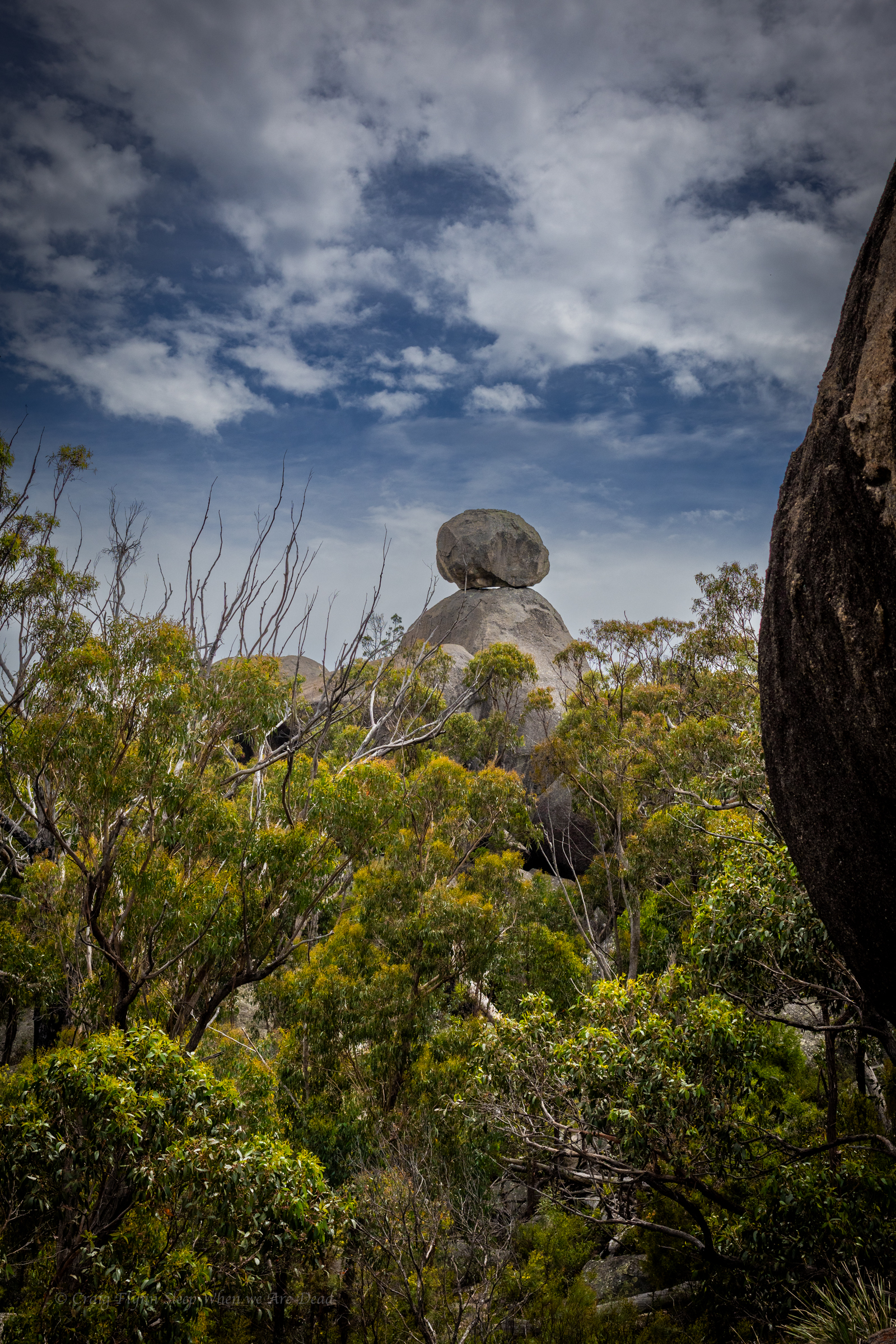
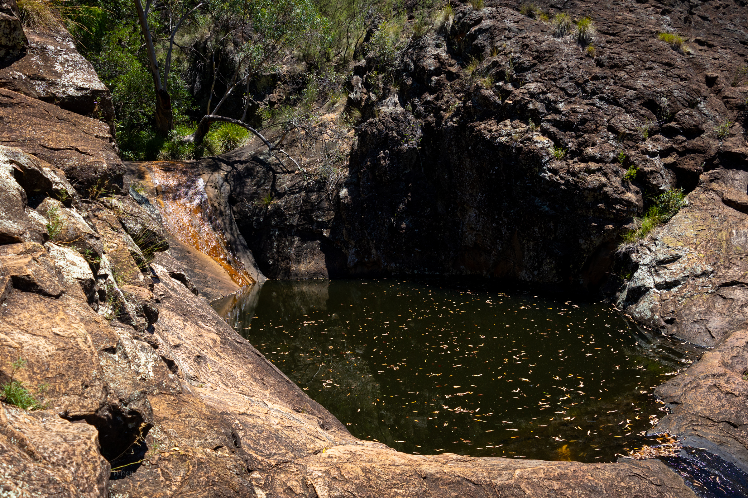
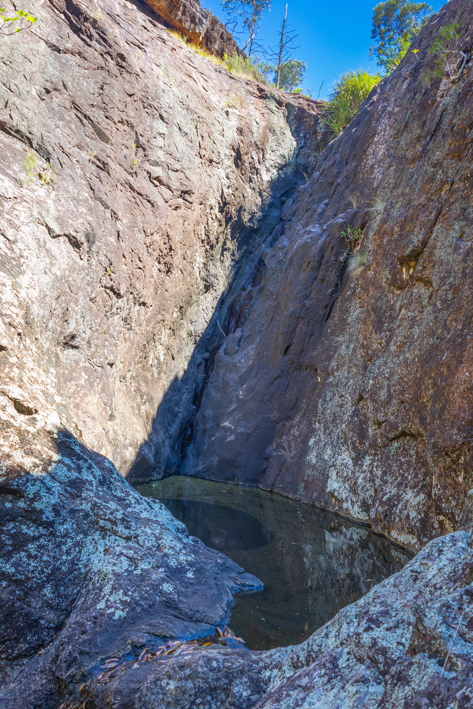
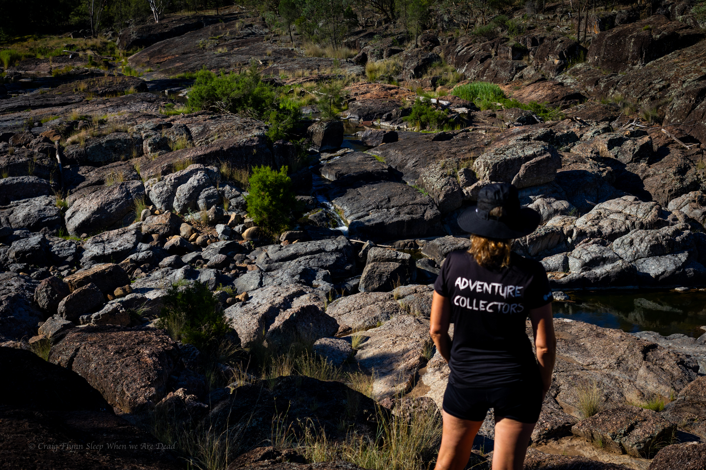
It’s a short walk up to the Mill-bullah water holes.
There is water in them but it has been in there a long time with no flush through to clean it out.
The top waterhole looks a little nicer but still stagnant.
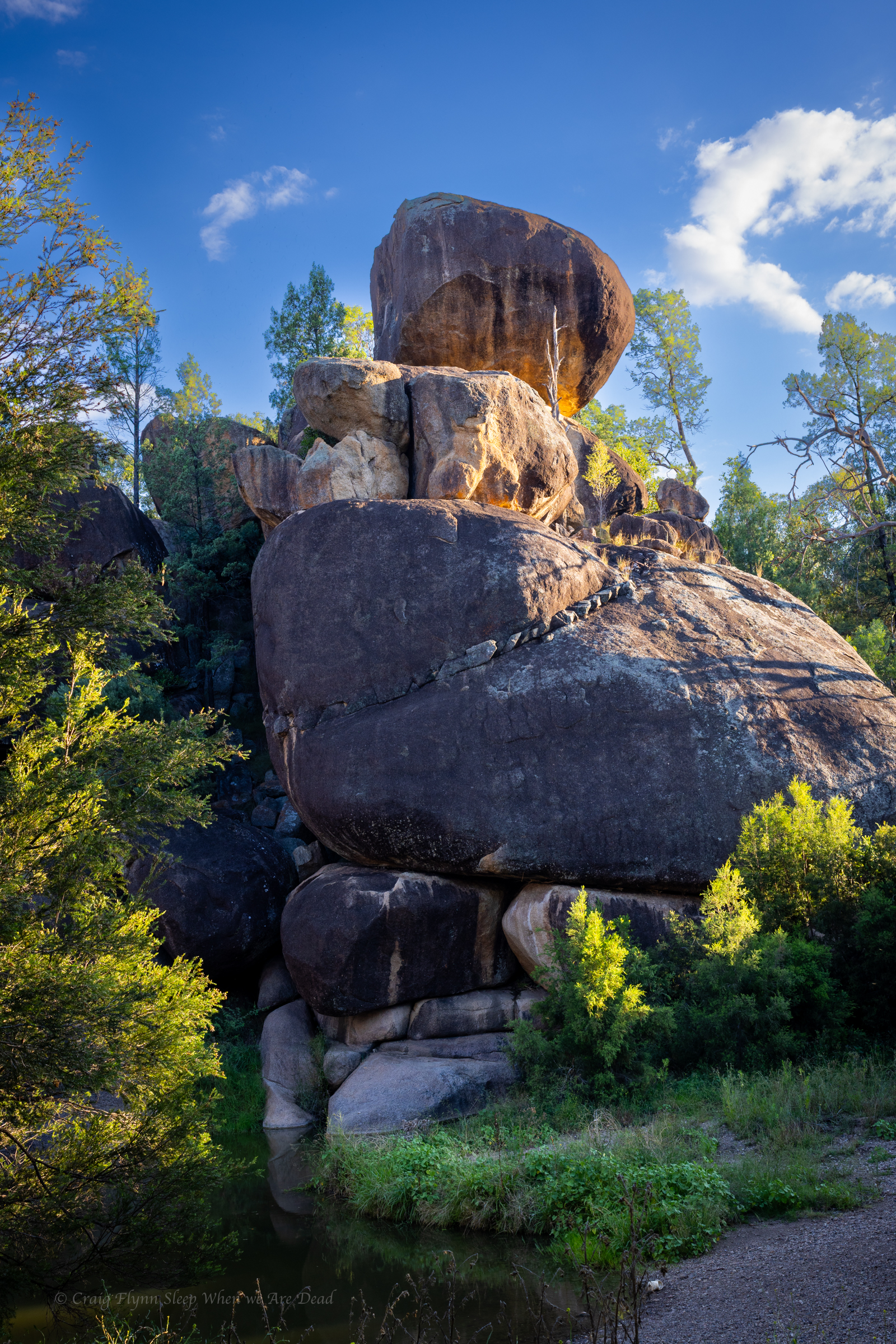
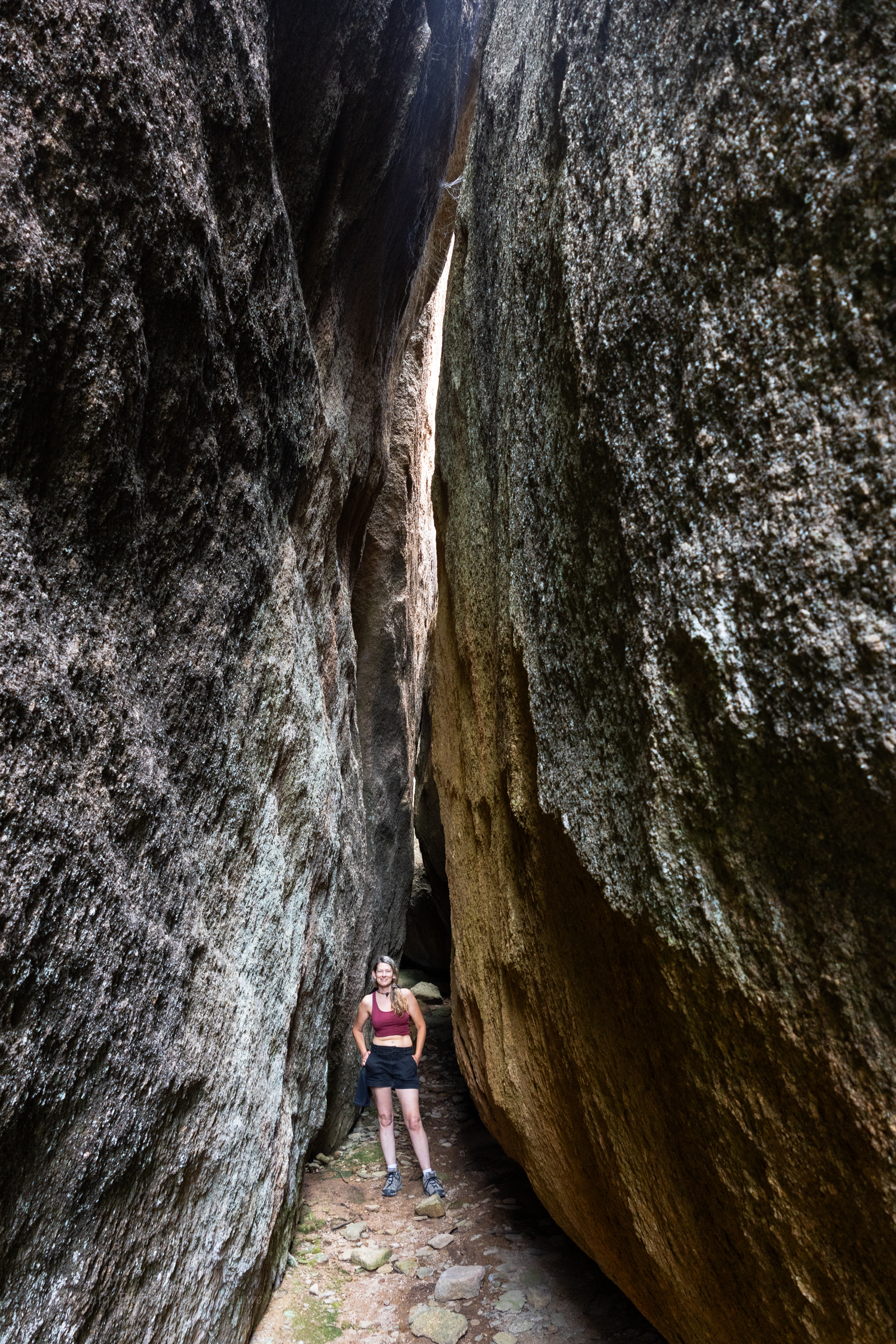
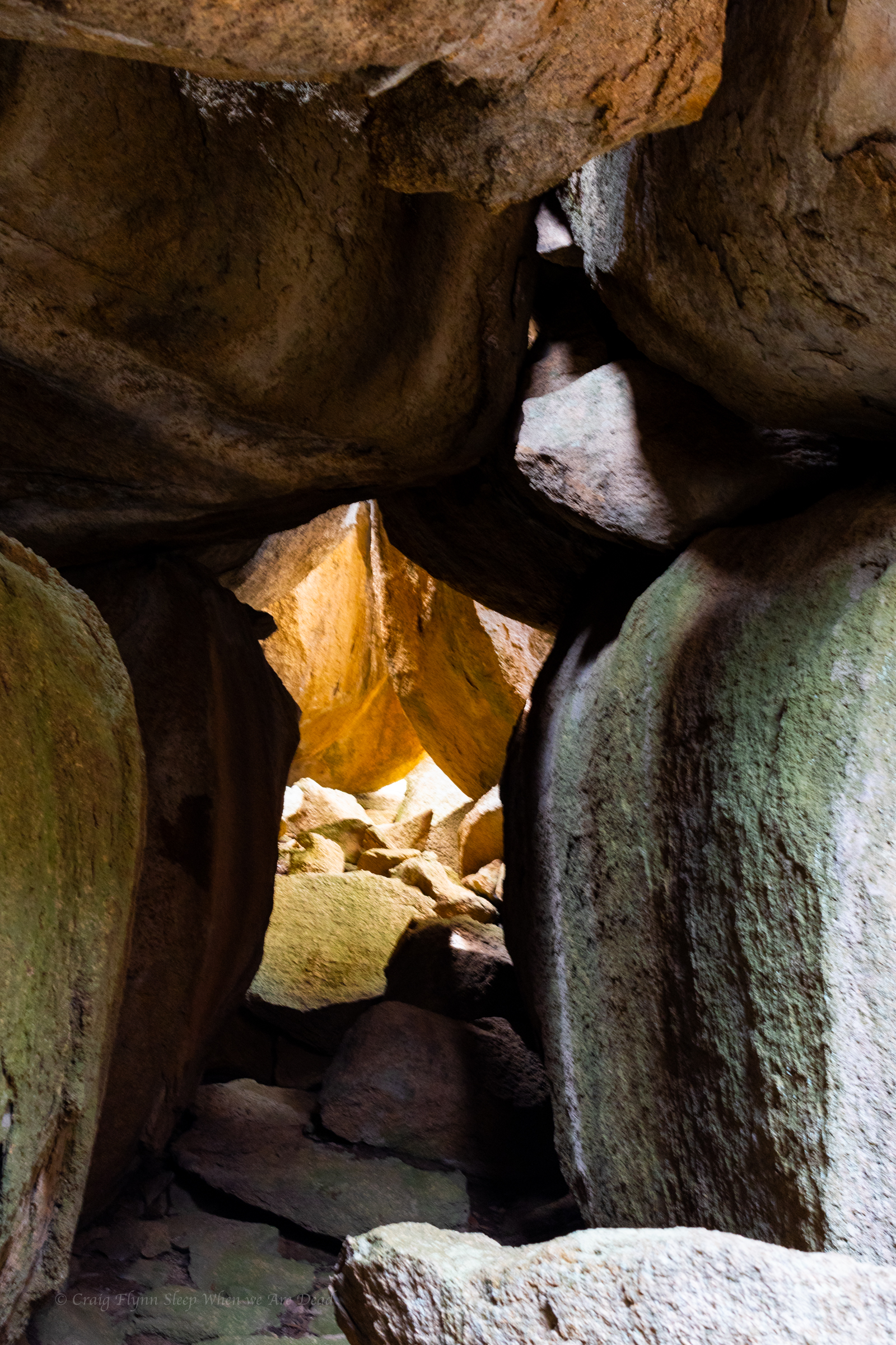
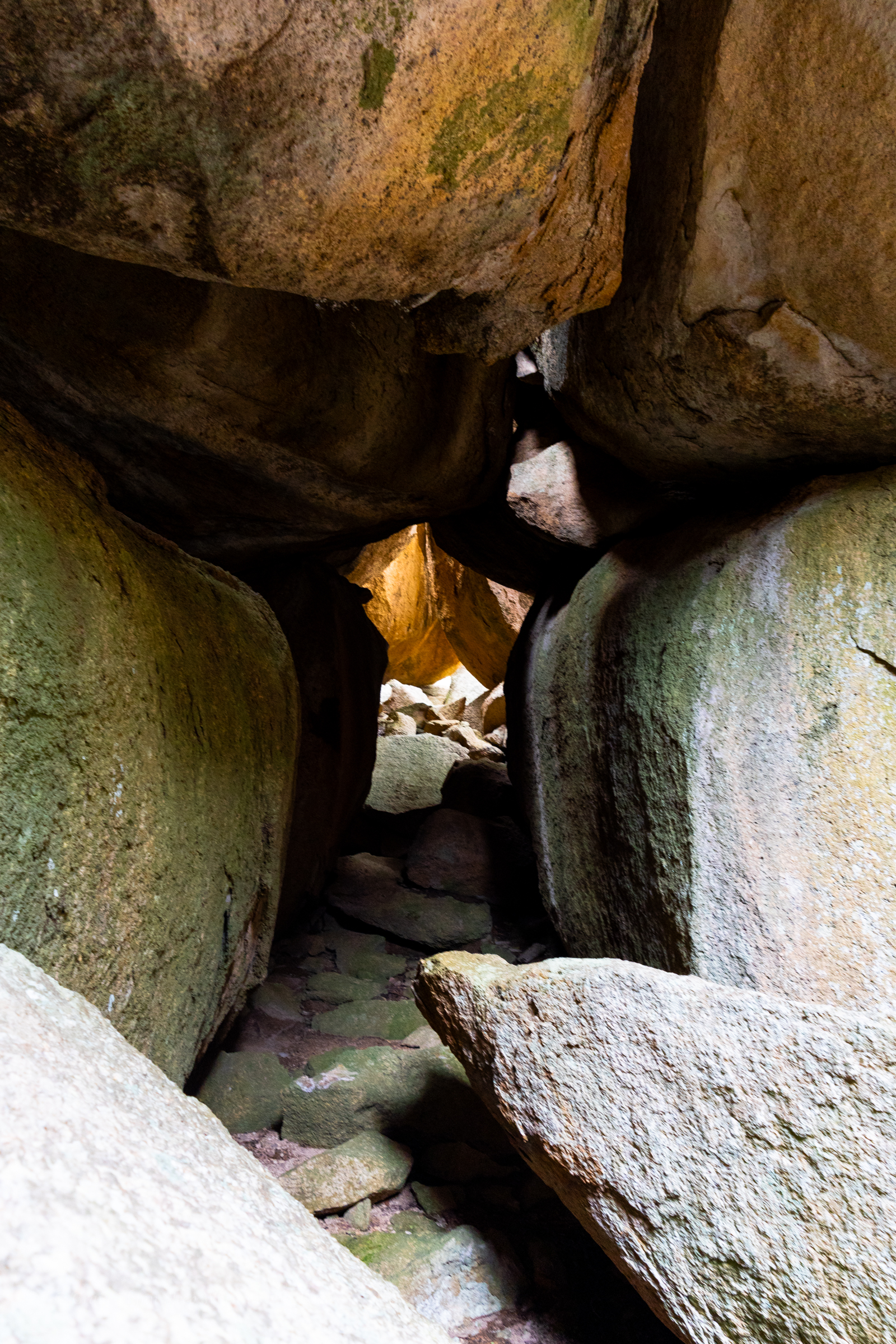
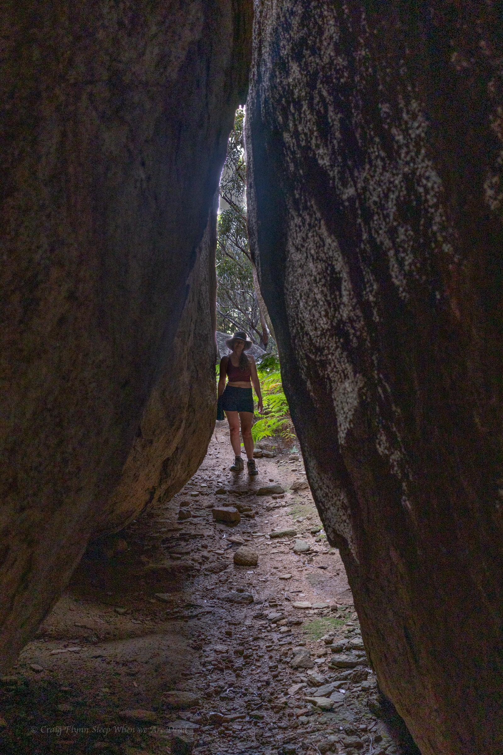
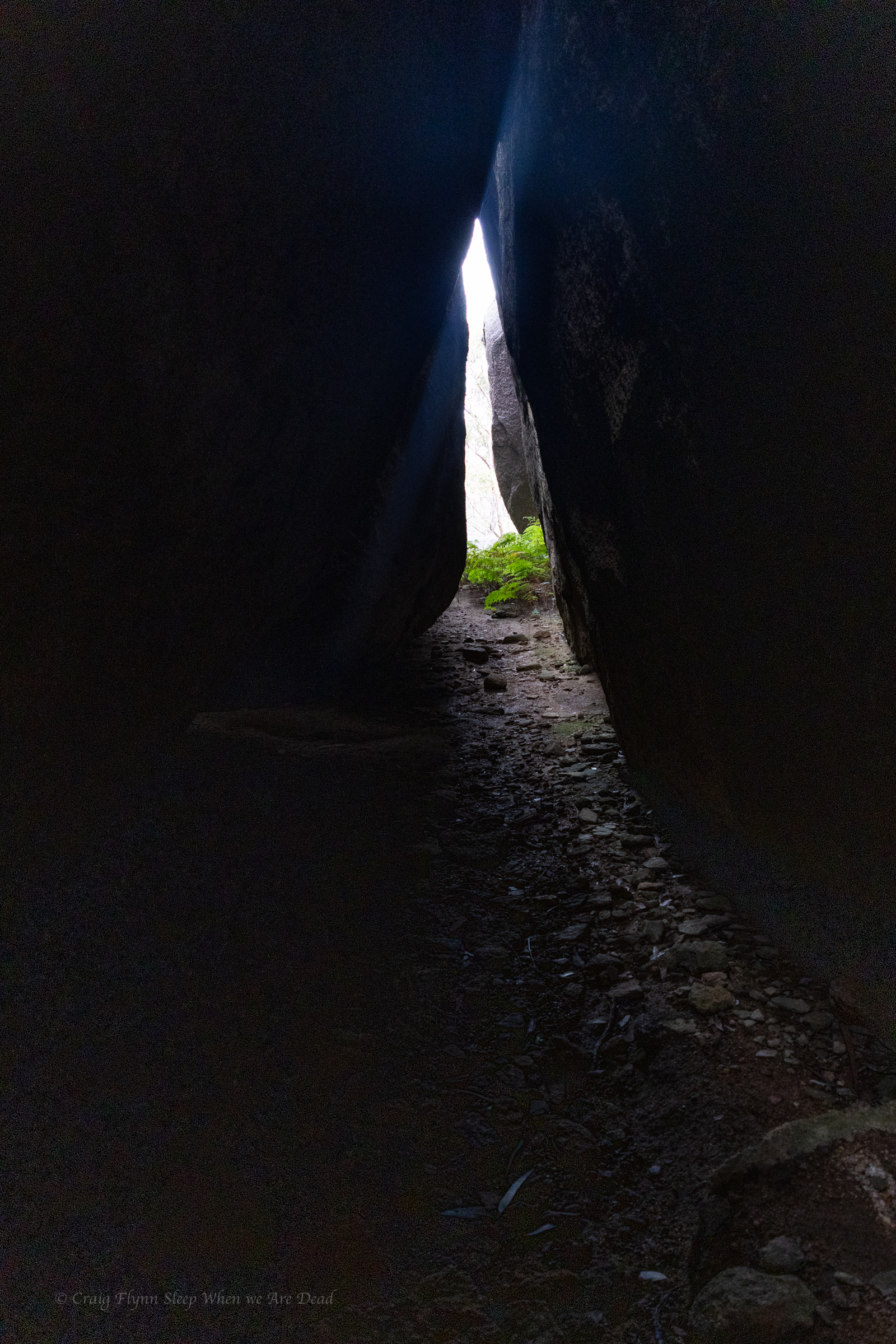
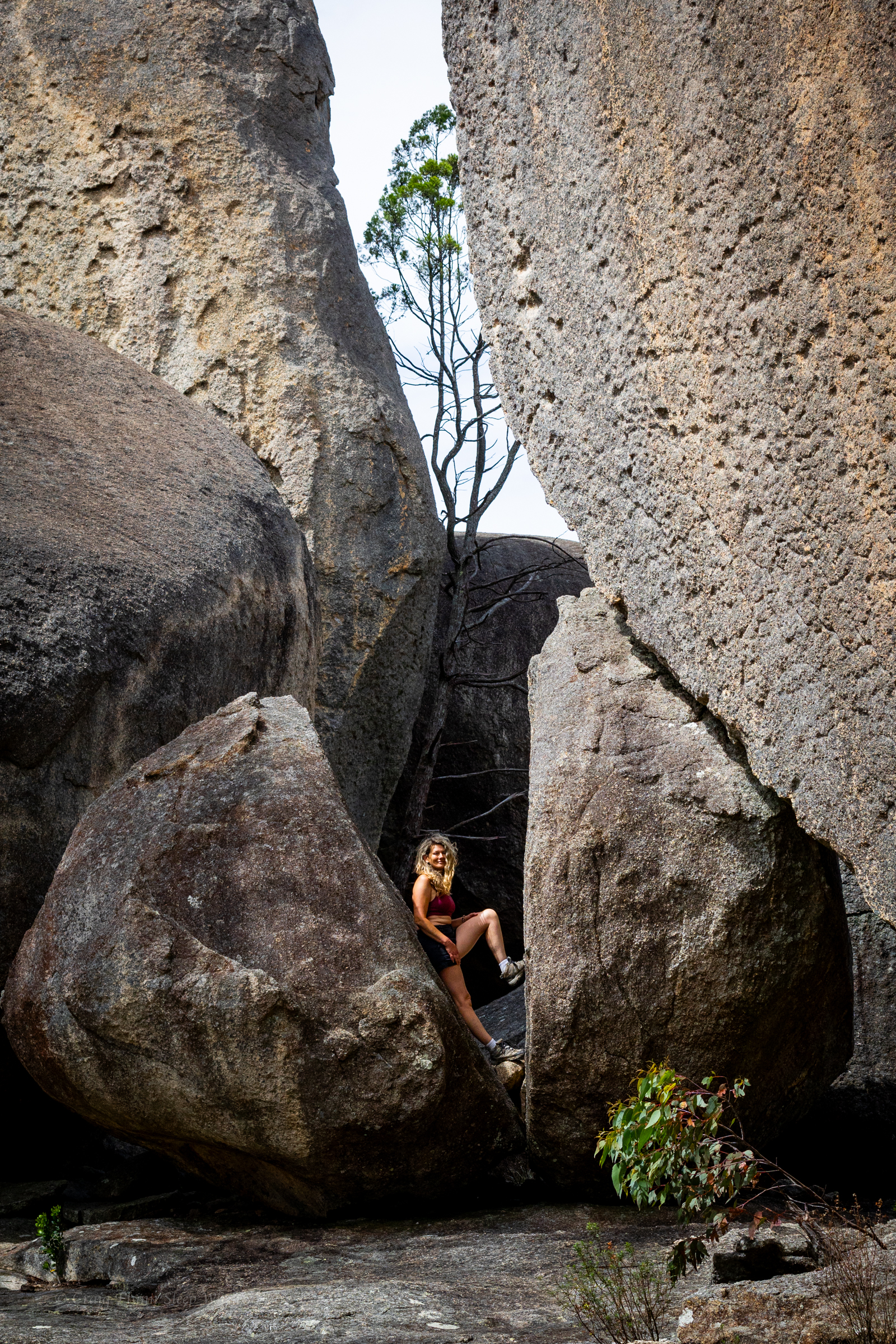
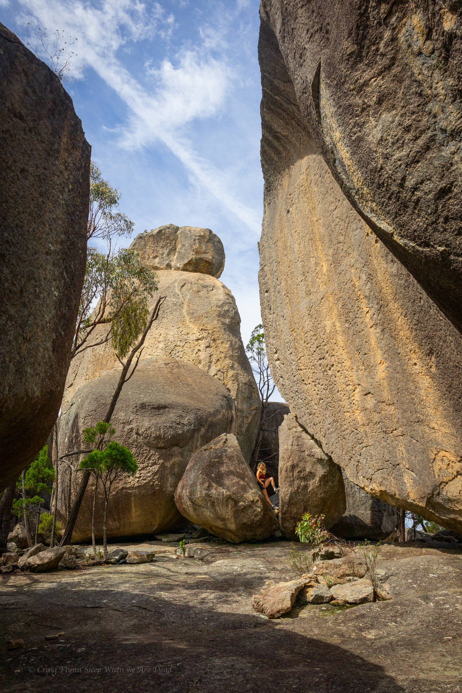
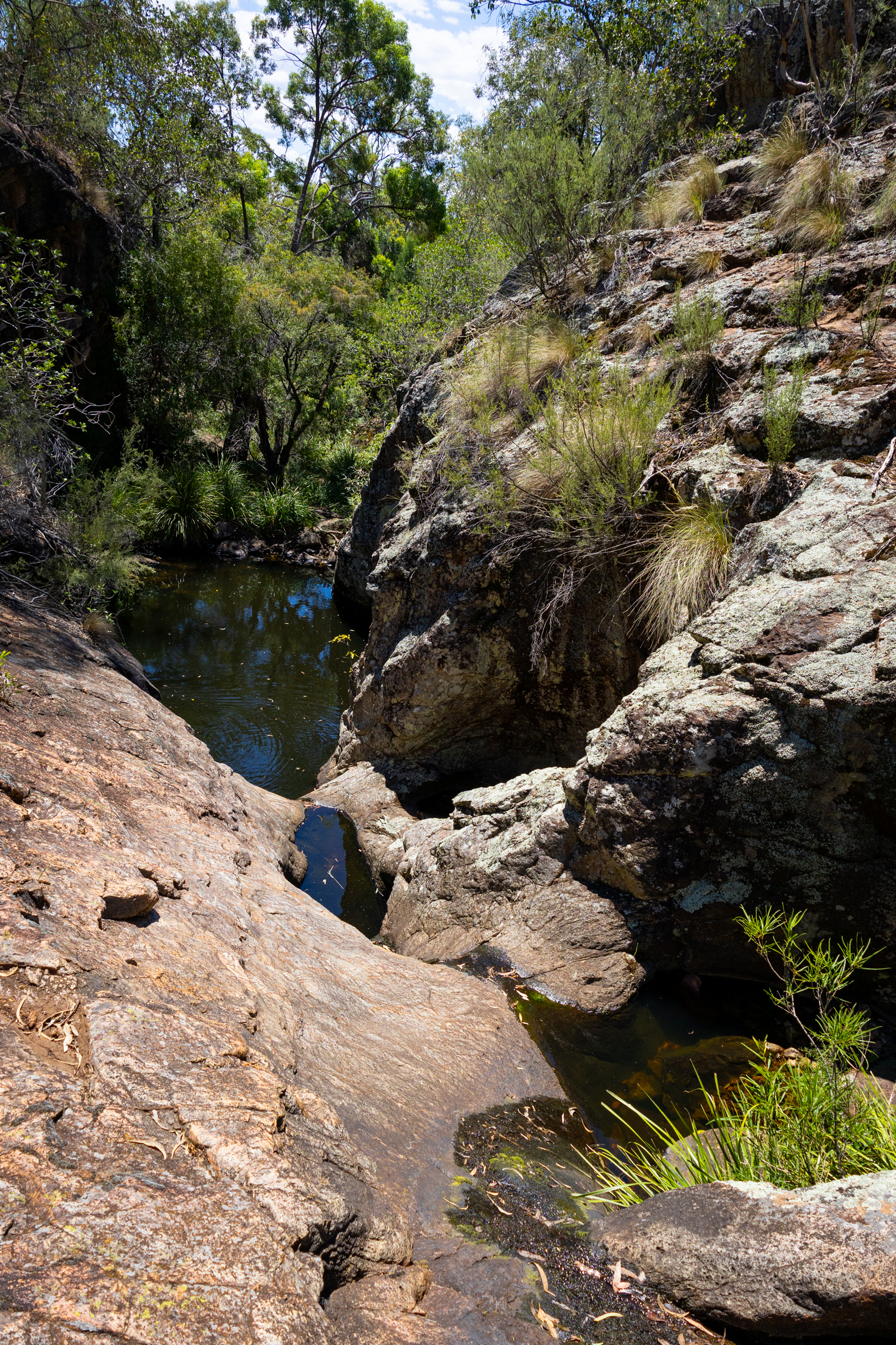
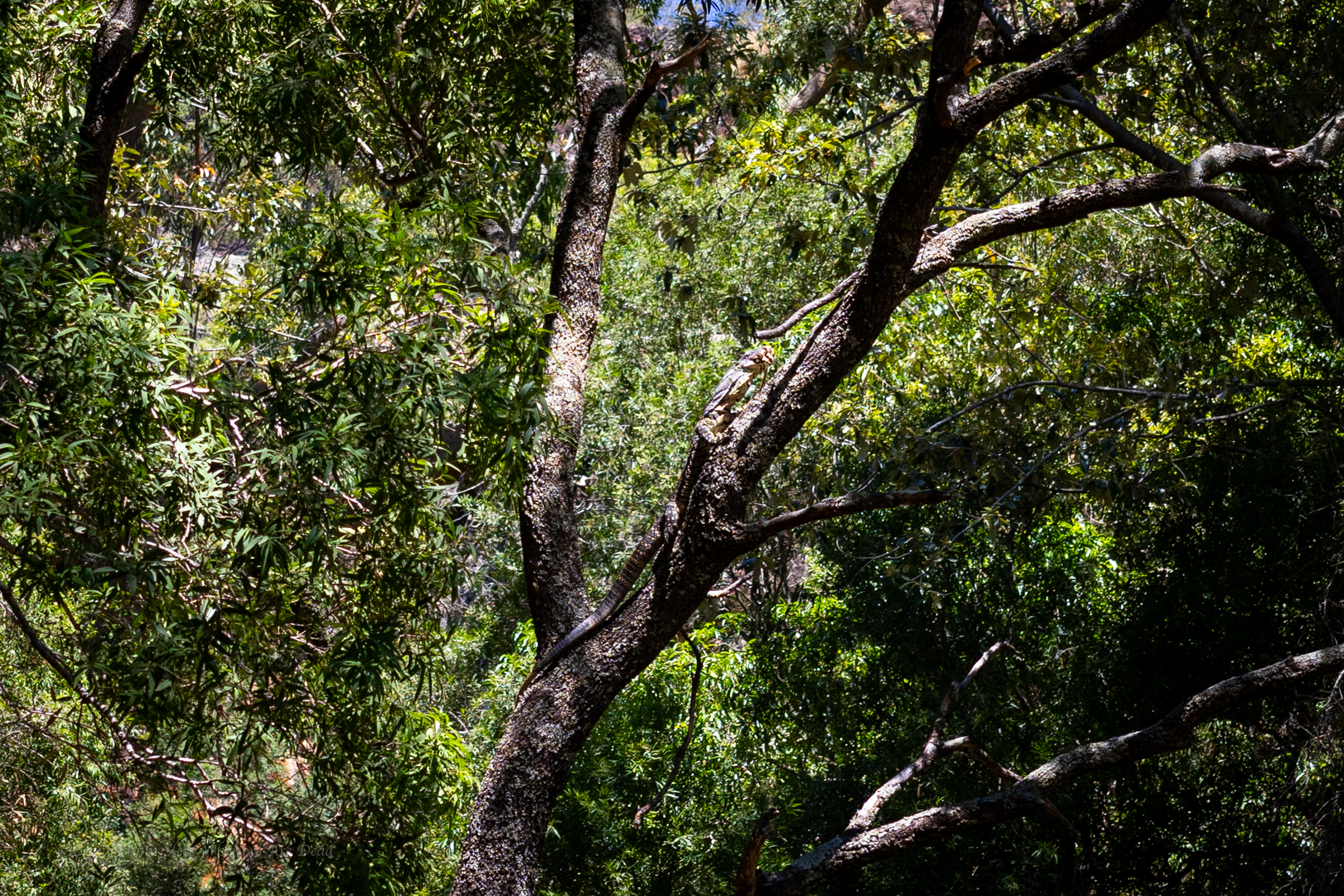
The constructed tourist trail ends here but a well used ad hoc trail leads up through the cliff line.
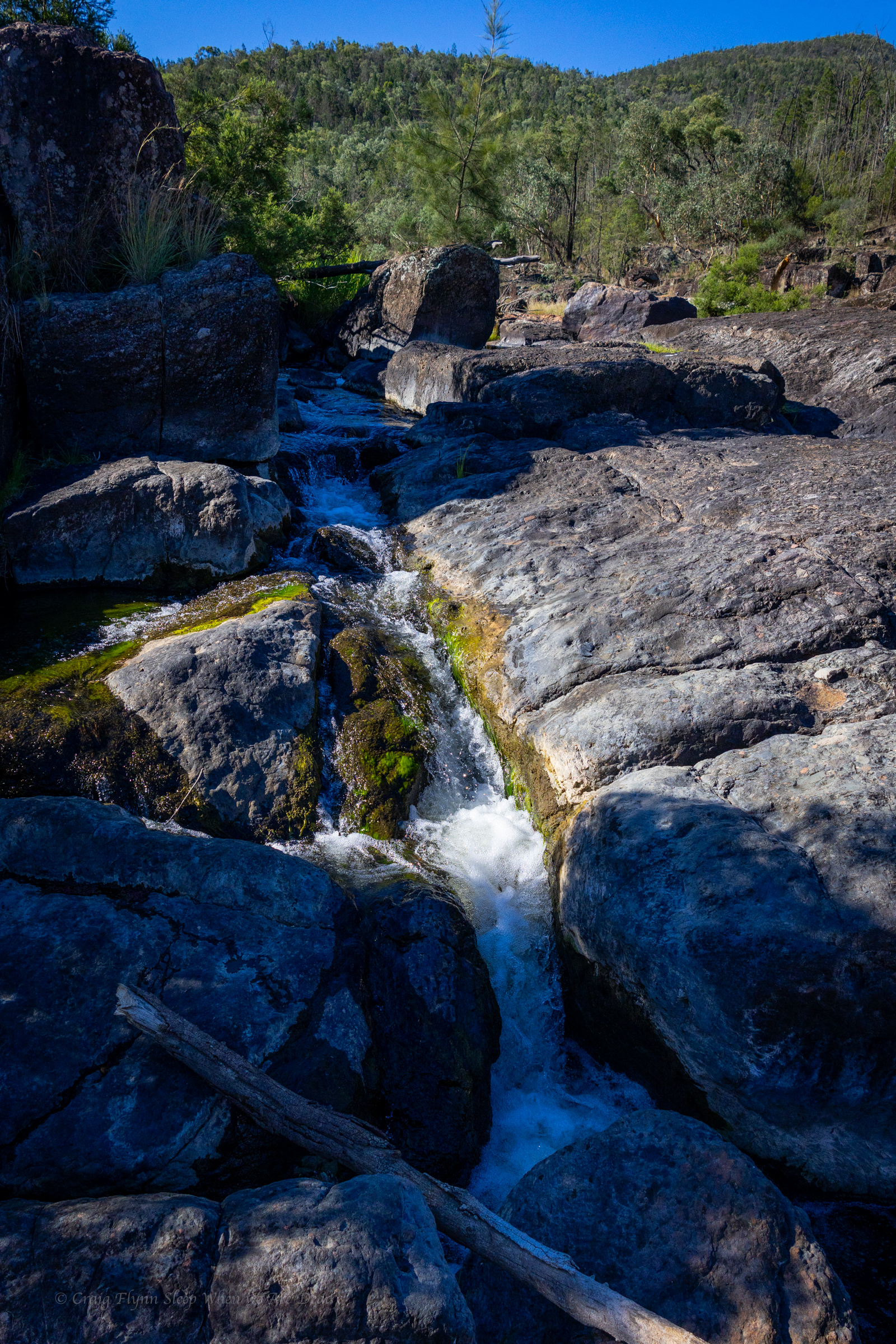
The track skirts above what looks like would be a fun little canyonette full of jumps and slides, in the right water flow
Unfortunately we are here in the middle of one of the driest summers we’ve had since 2019.
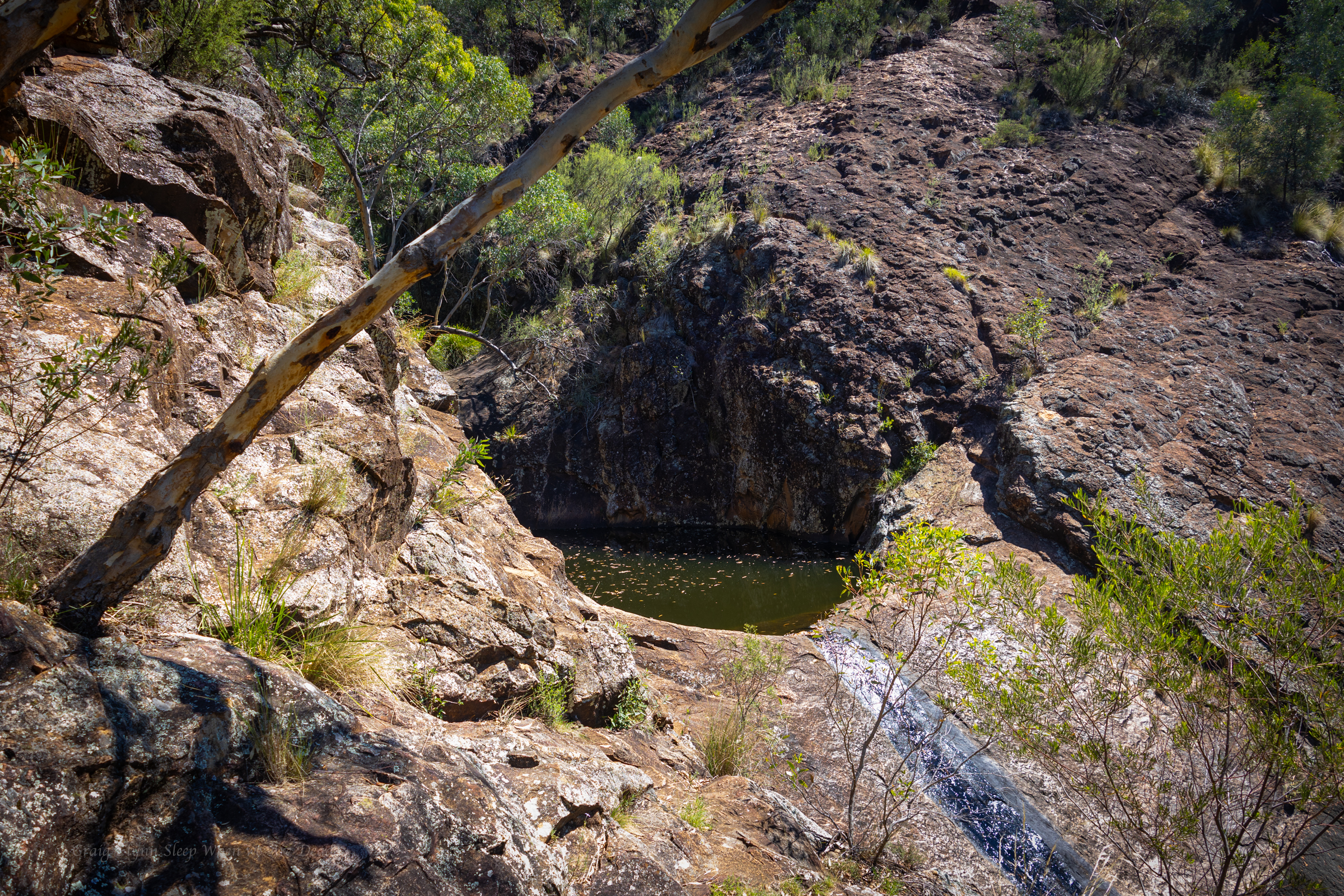
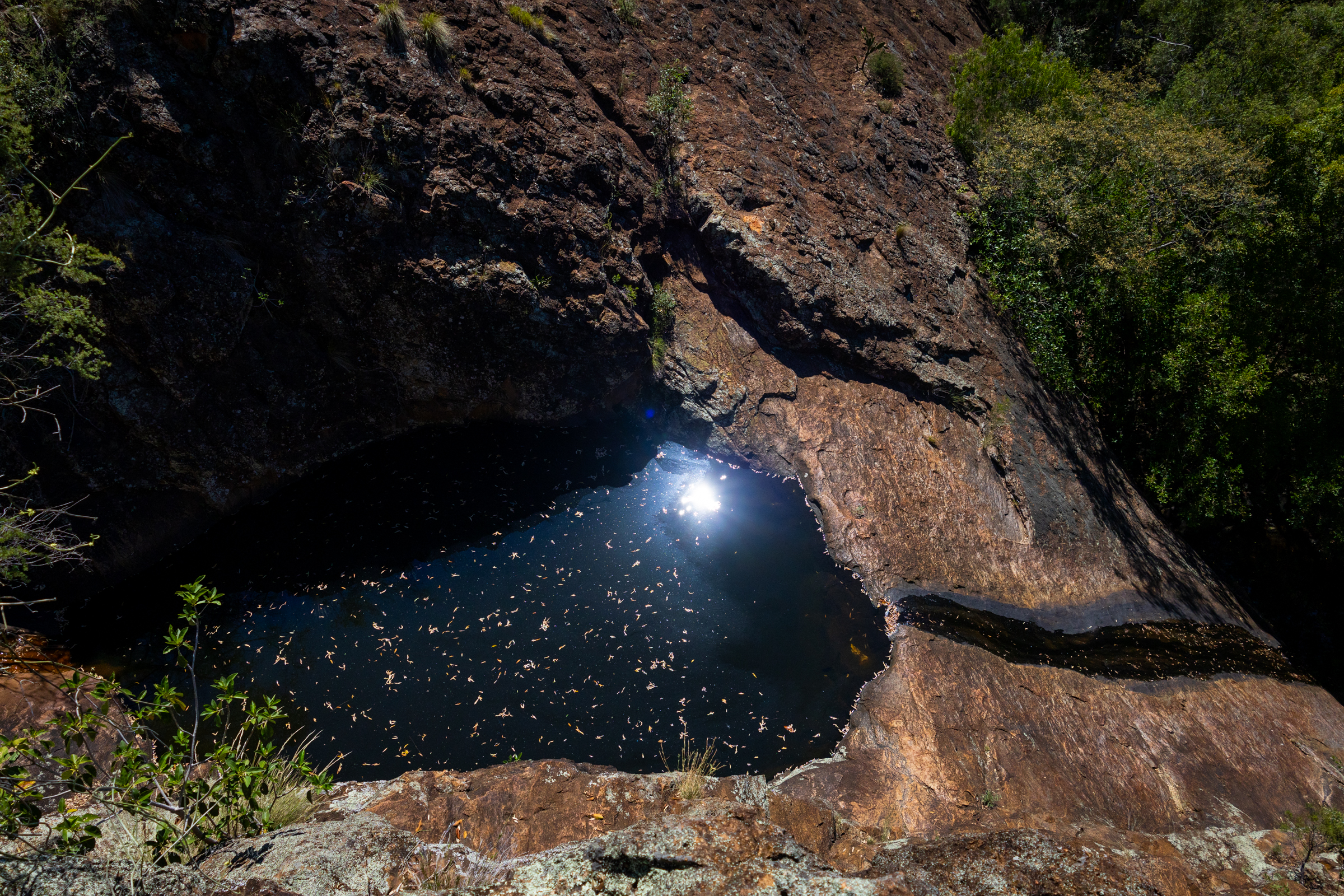
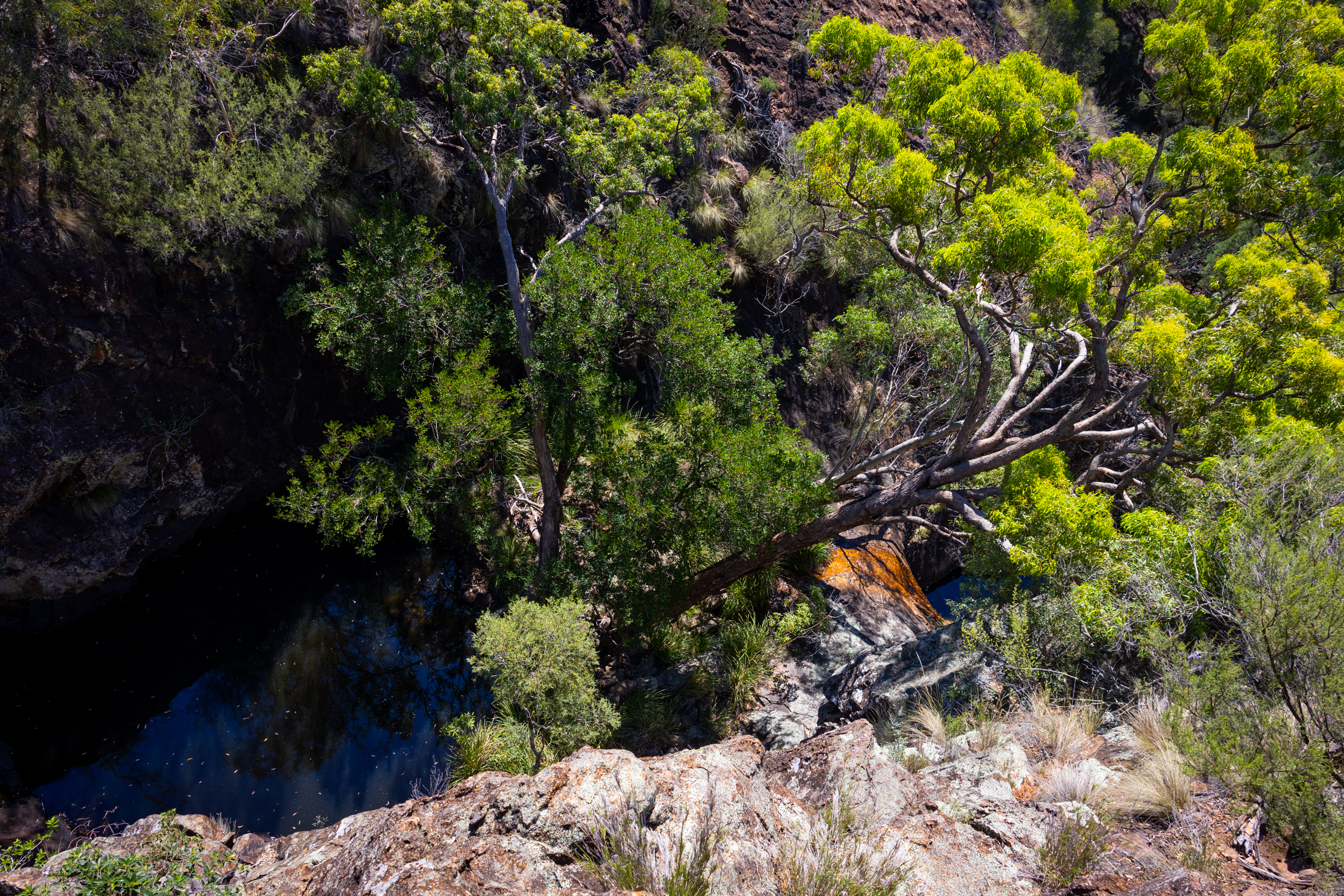
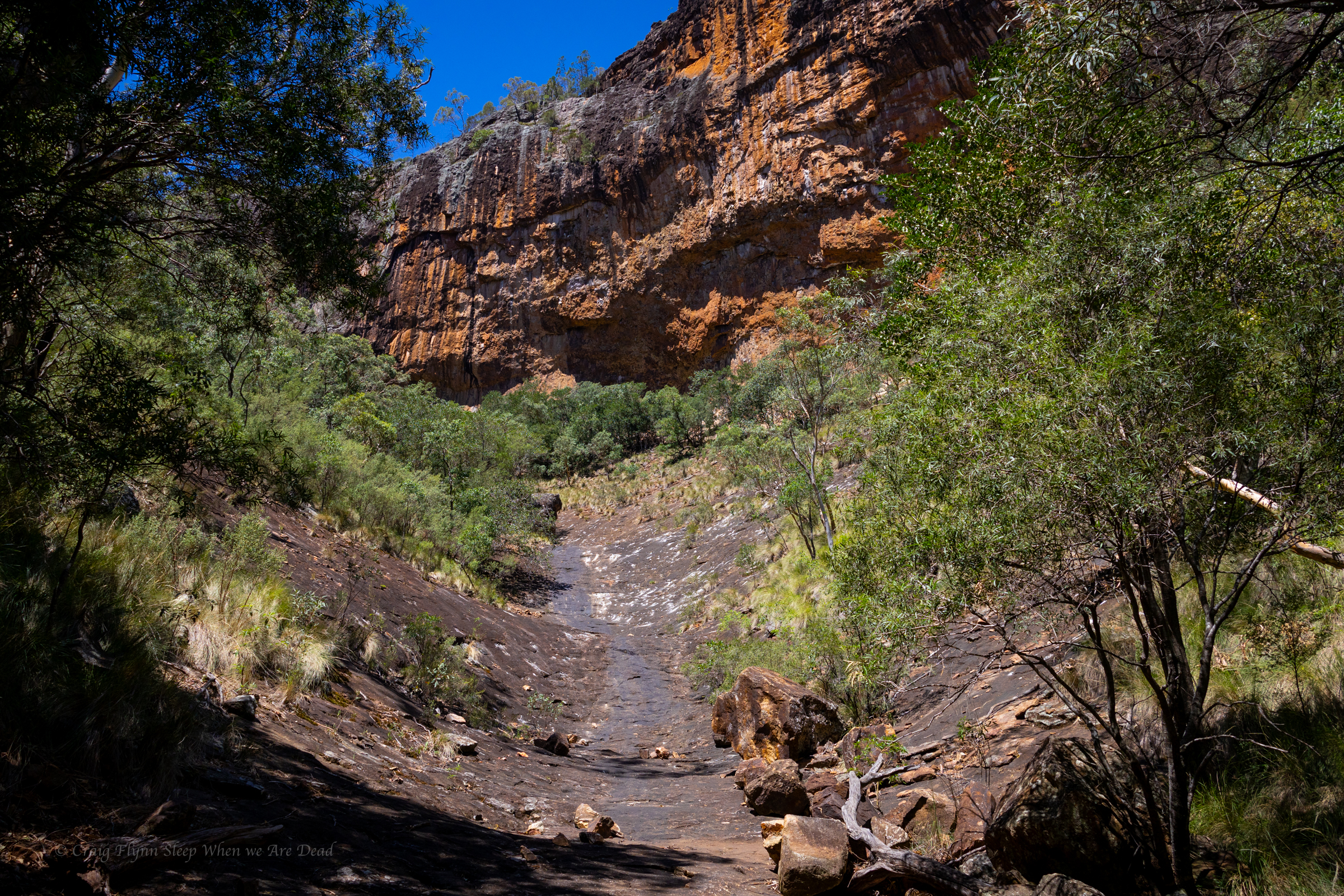
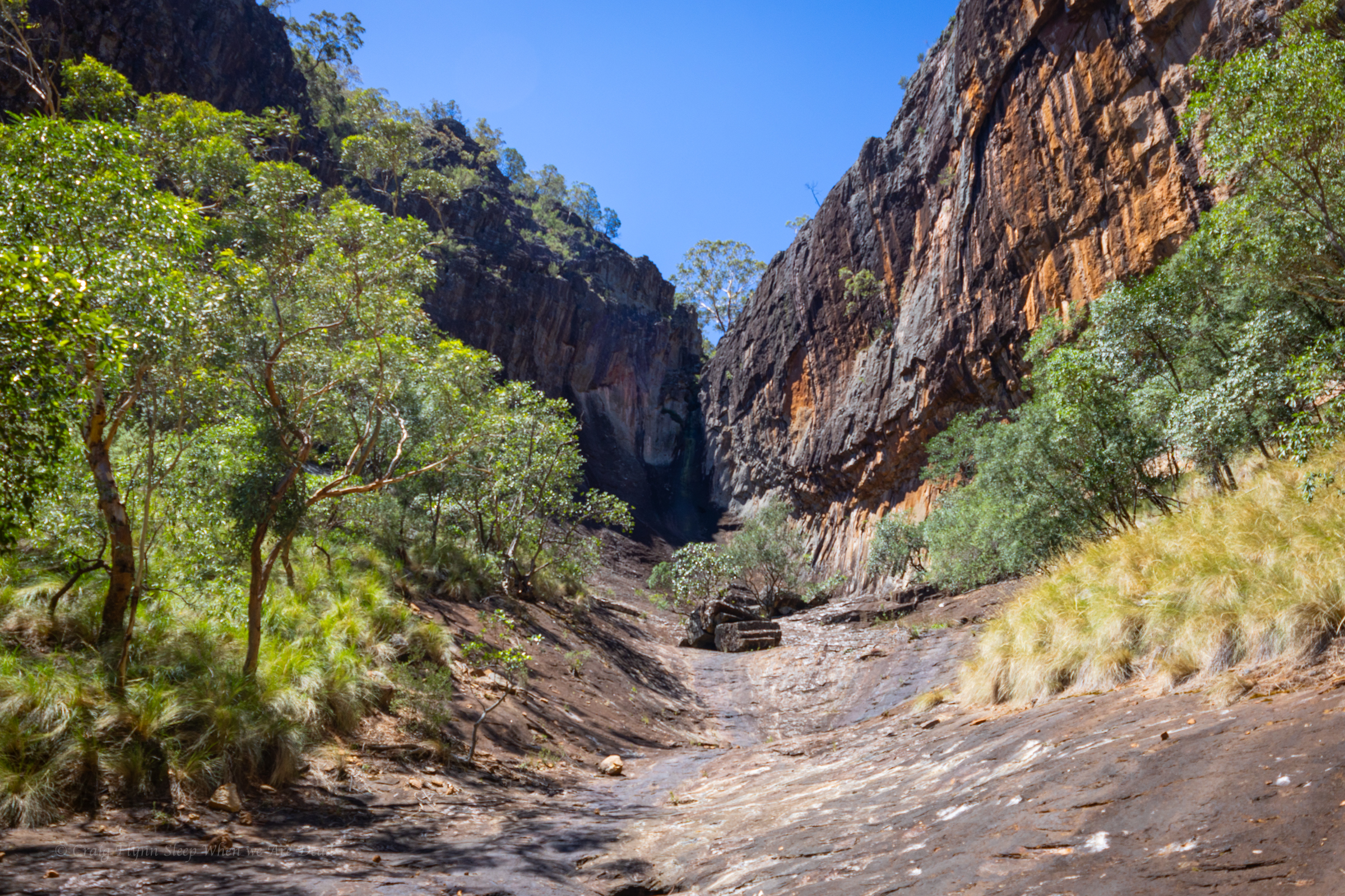
Above the canyonette the gorge is shaded but the heat still oppressive
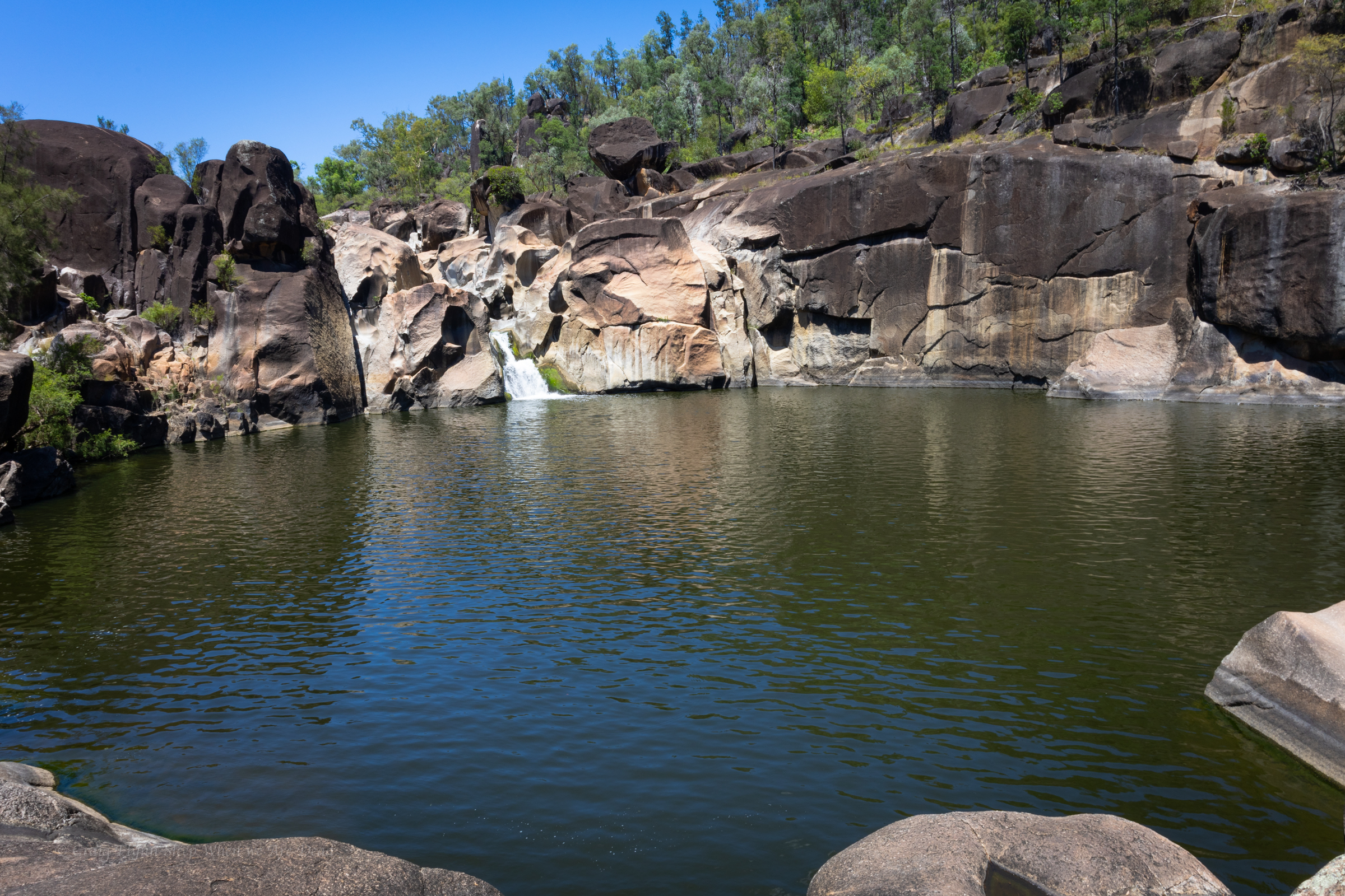
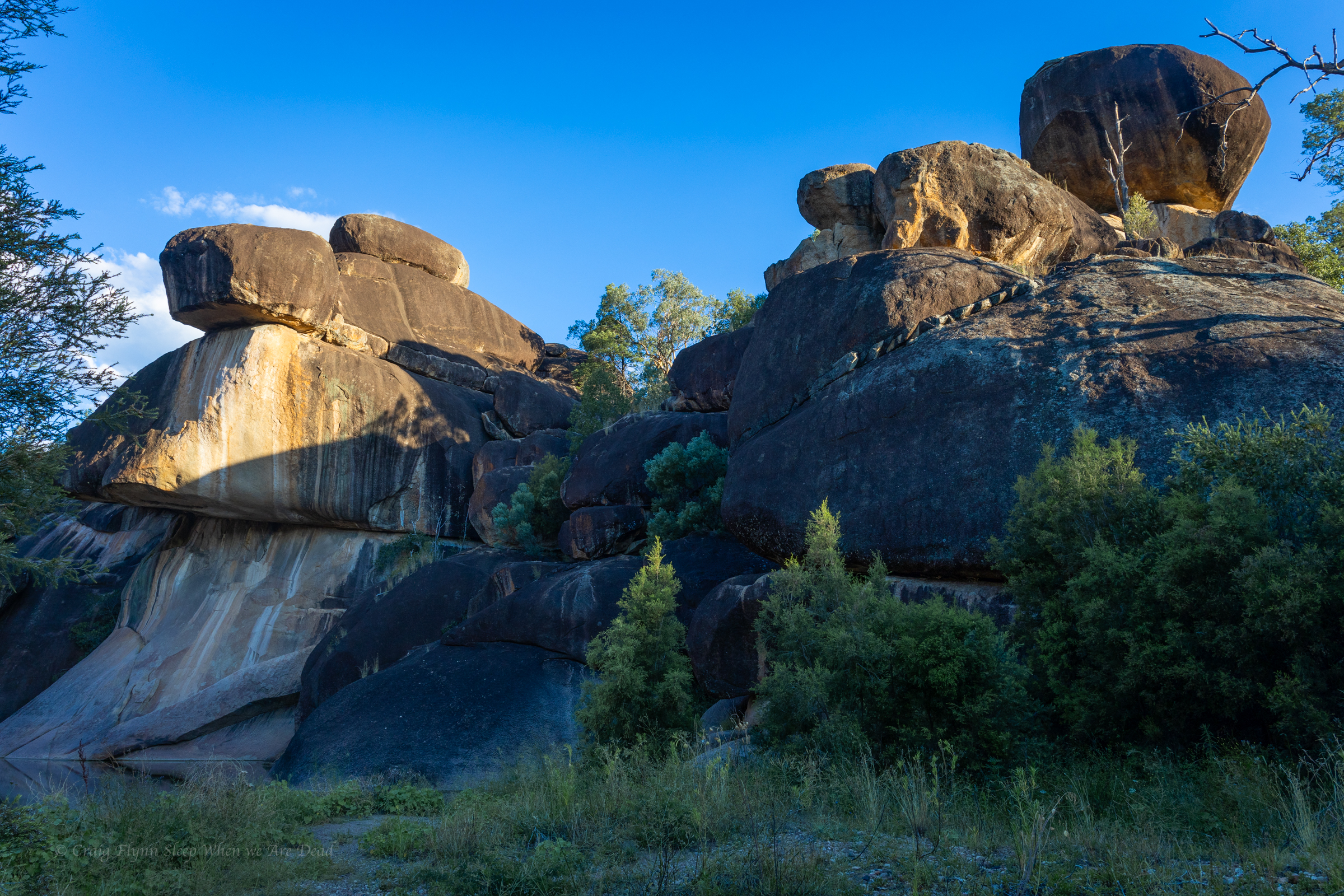
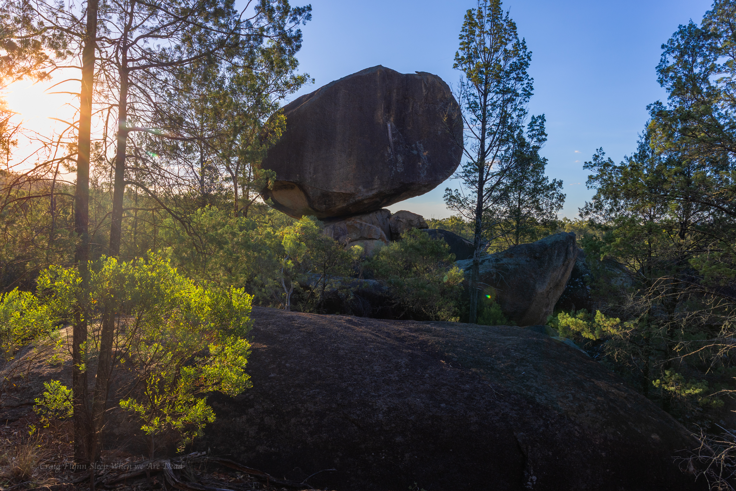
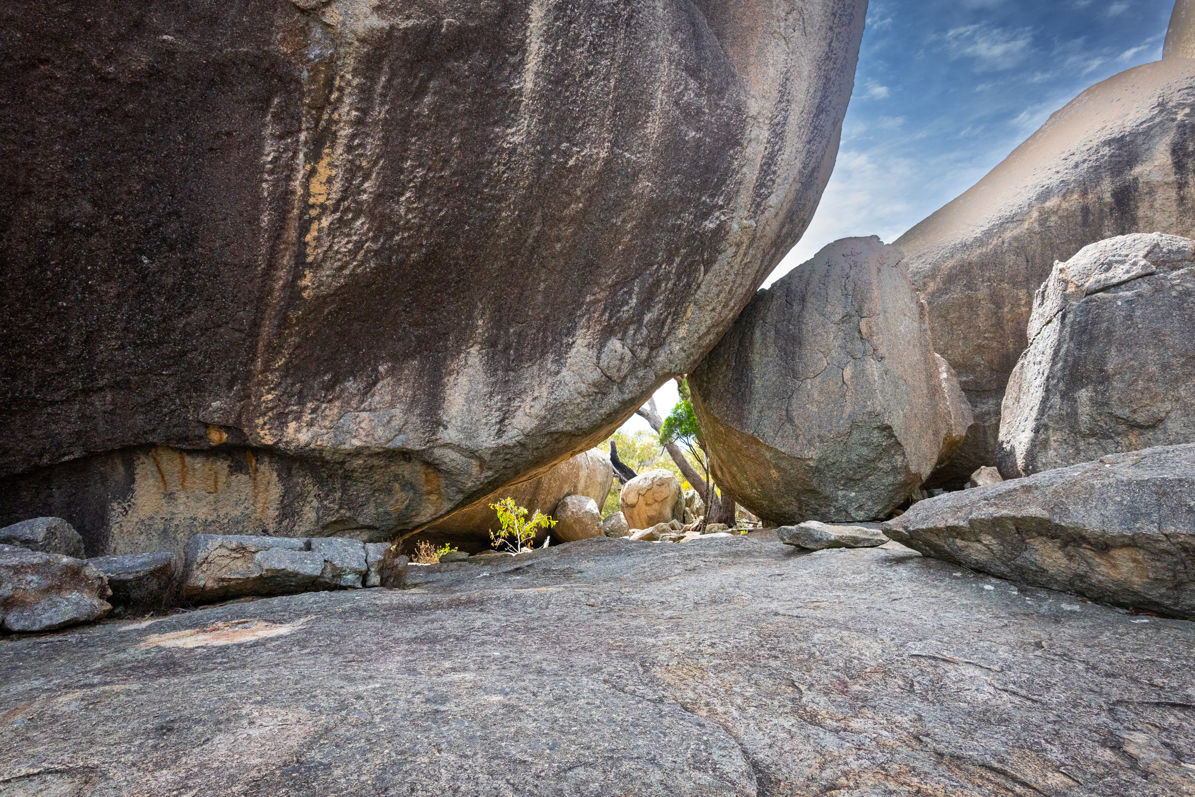
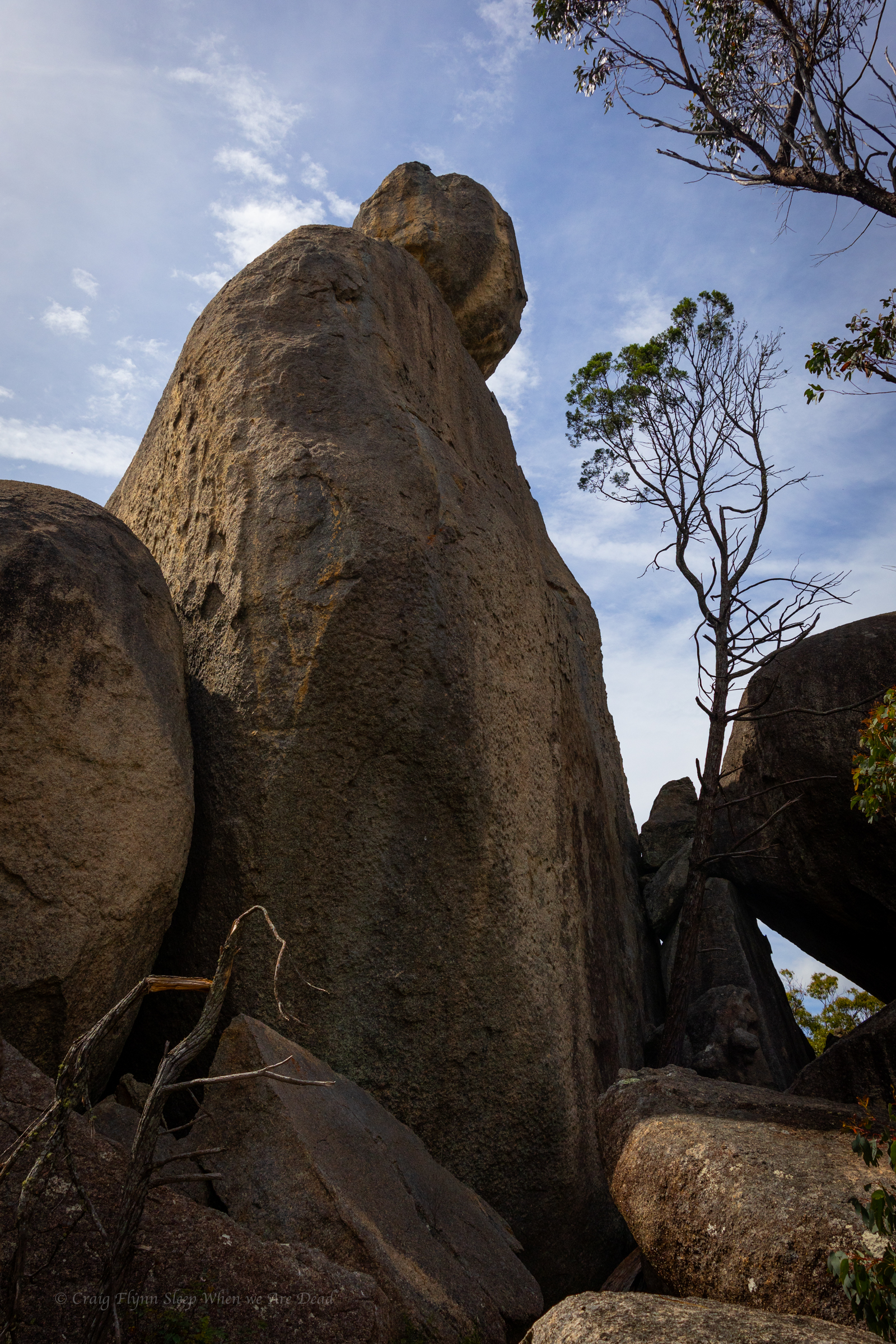
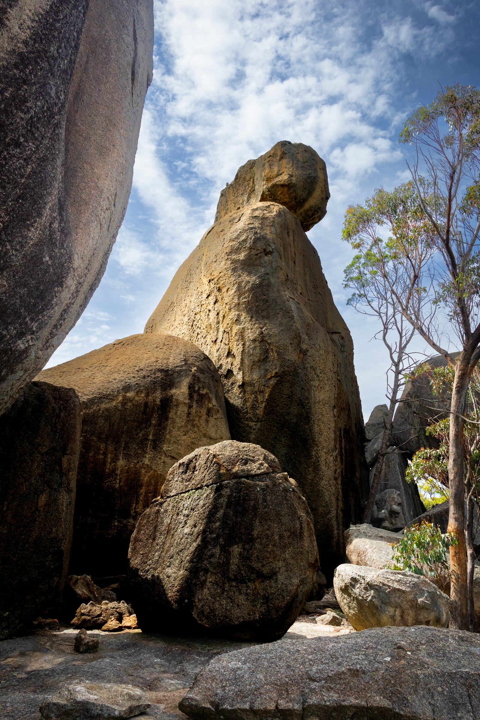
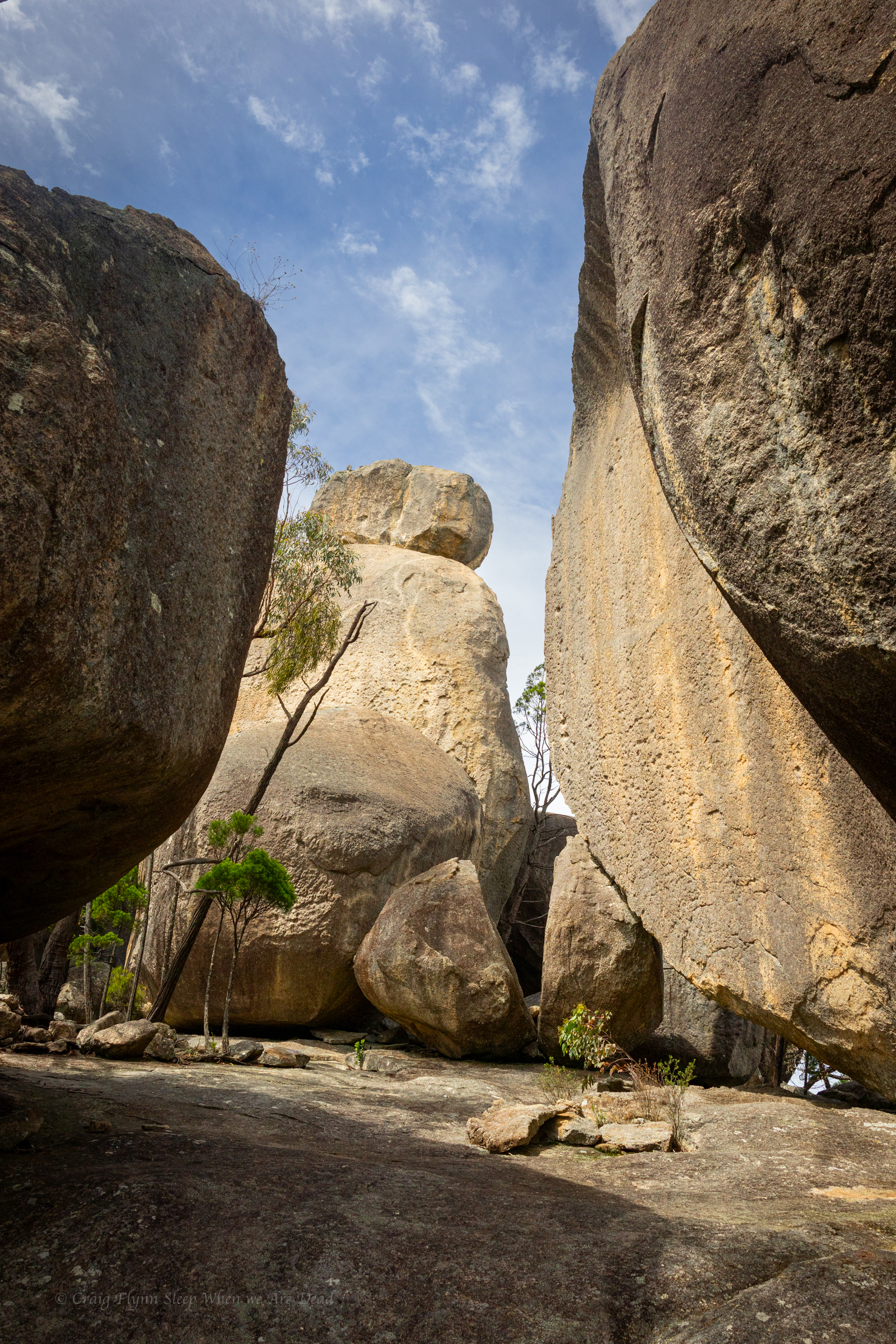
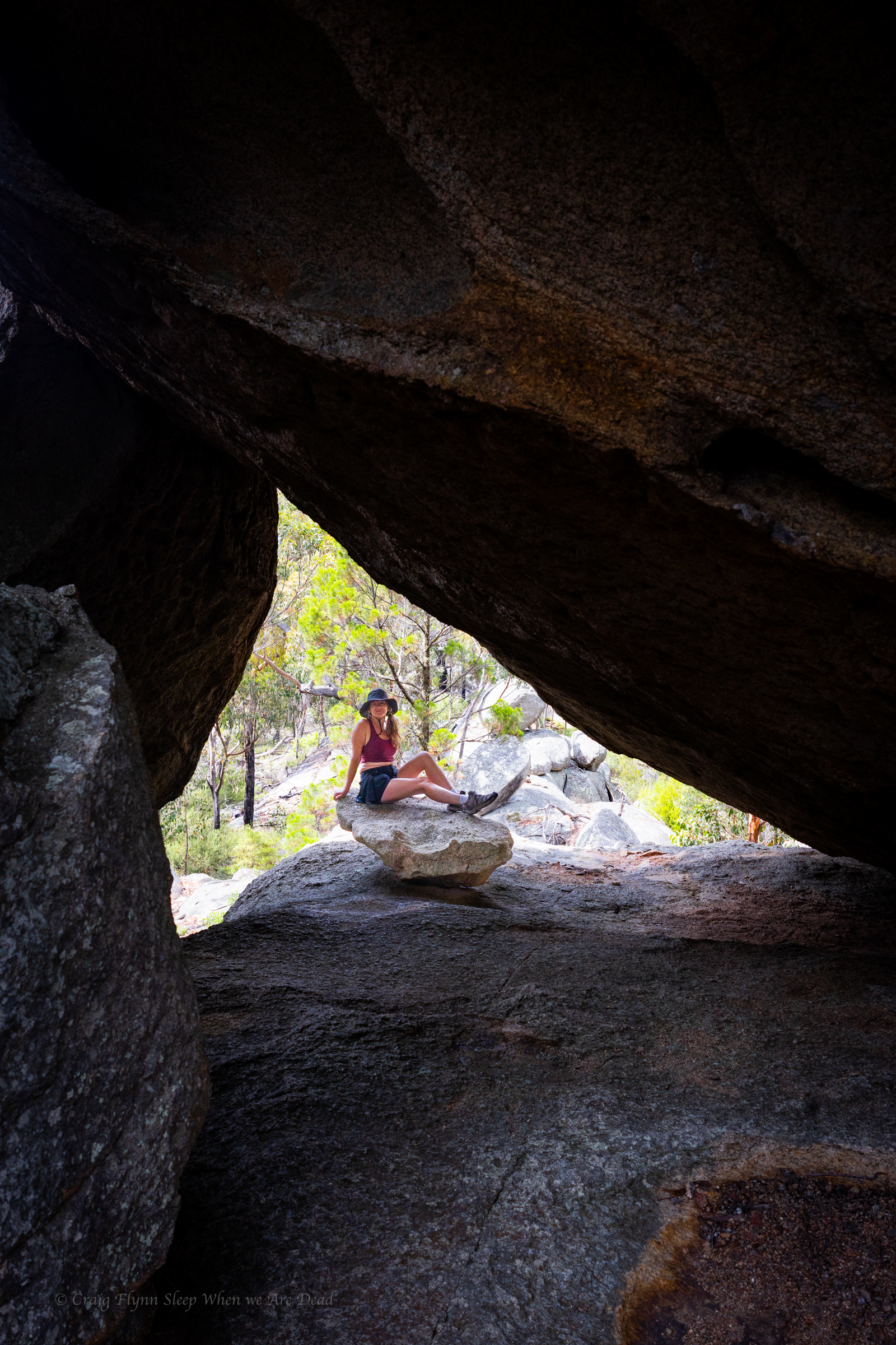
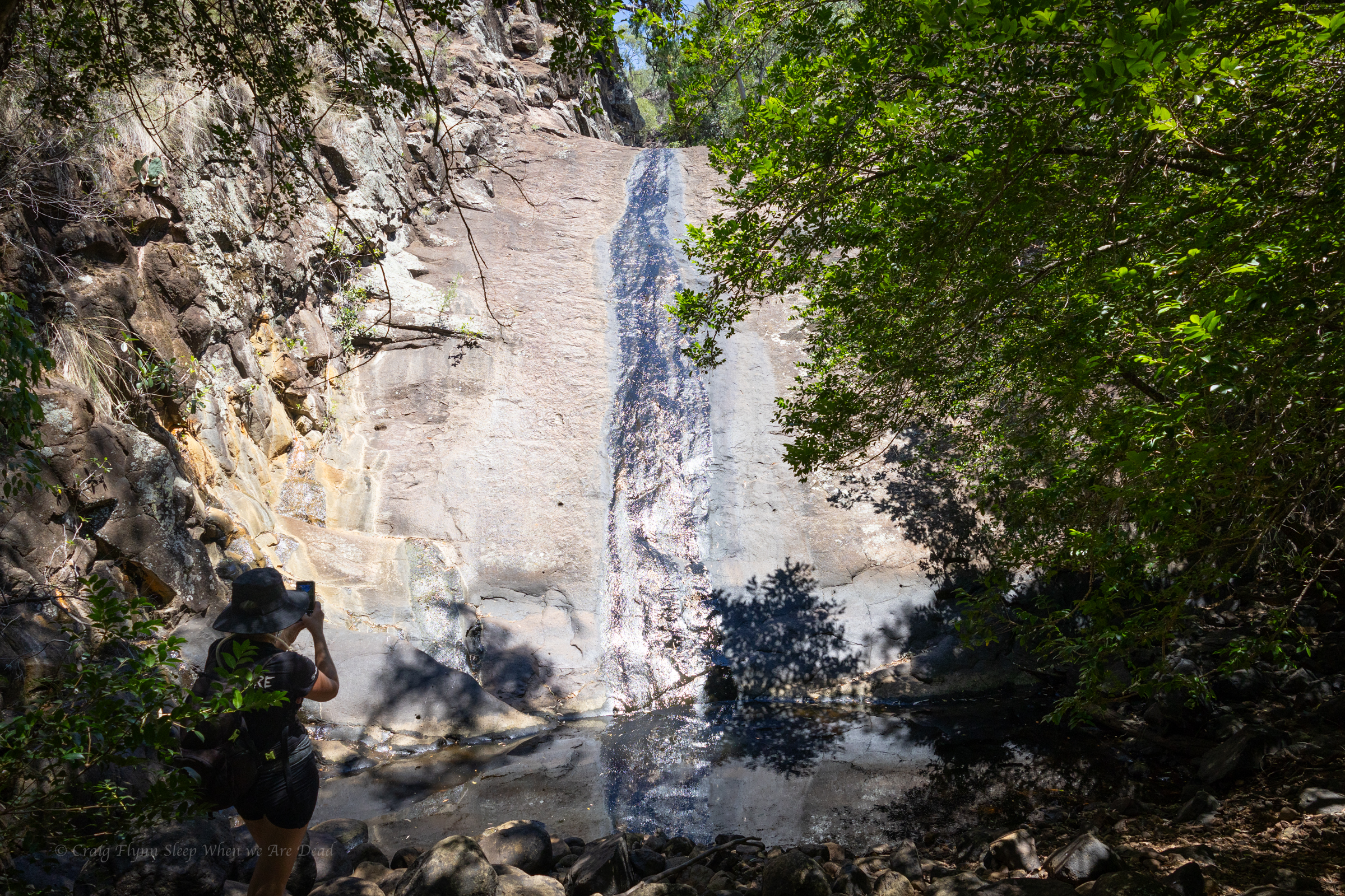
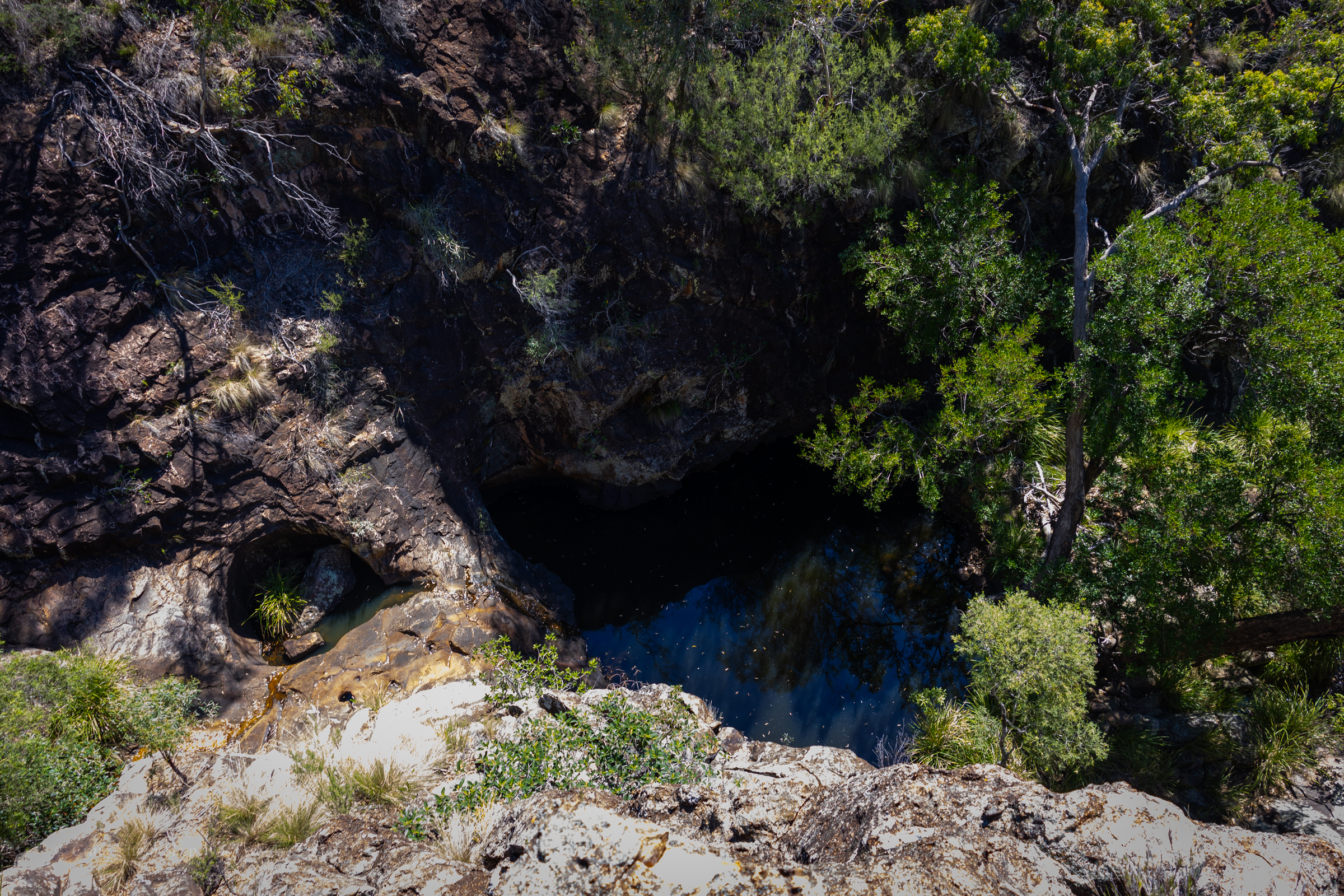
Finally we get to the junction. Left takes us to the big wall .
I head up, Kylie waits in the shade. The heat blasting off the stone is next level
We had a permit to fly the drone for 30min here so I get it out and try my hand at flying again
We slip back down to the junction, have a bite to eat and a big drink in the shade then explore up the other branch
We make our way back down to the car. And head back to the camp
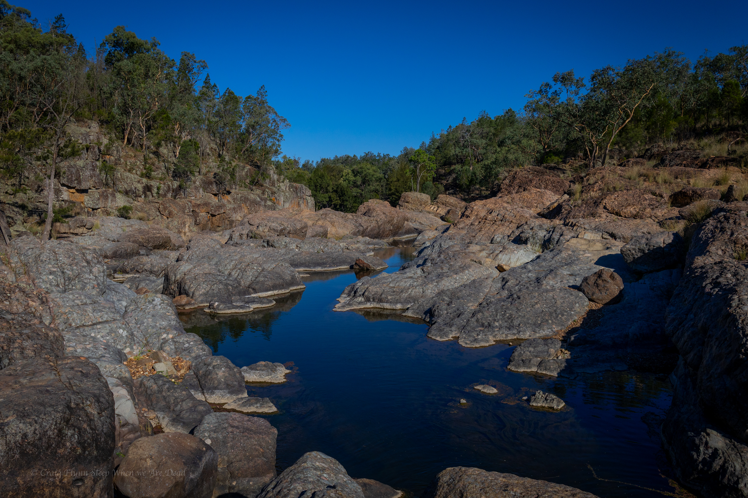
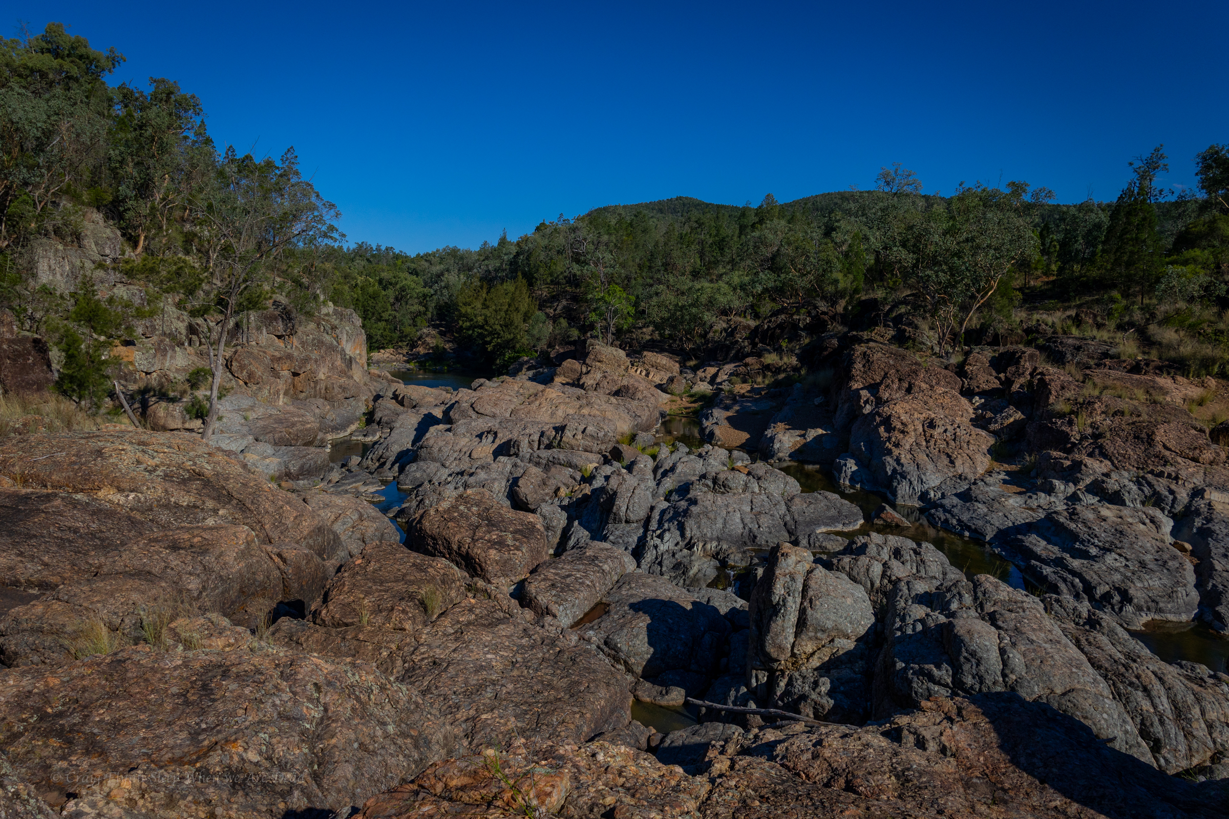
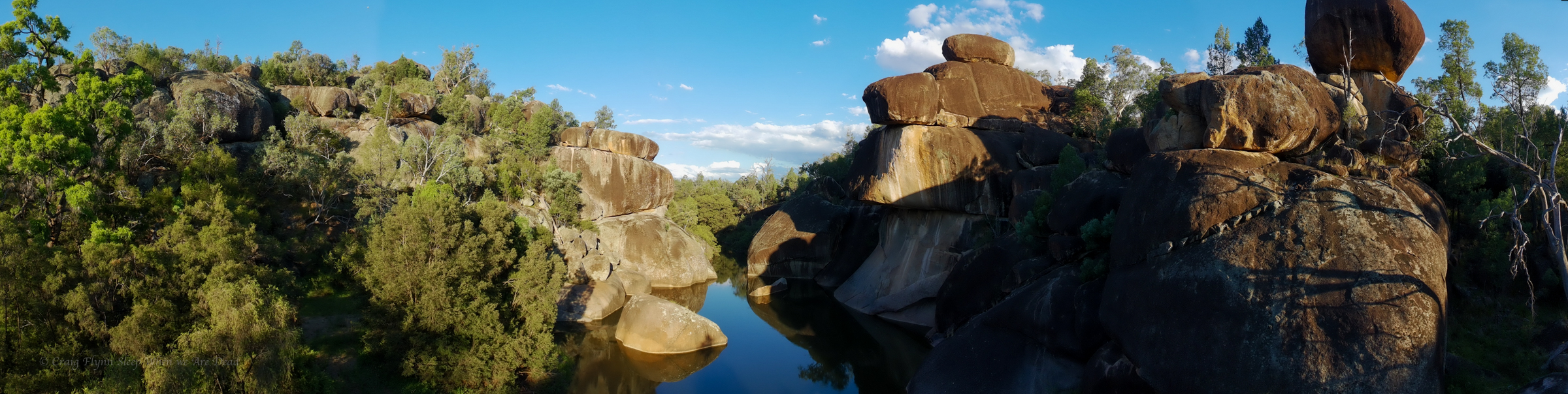
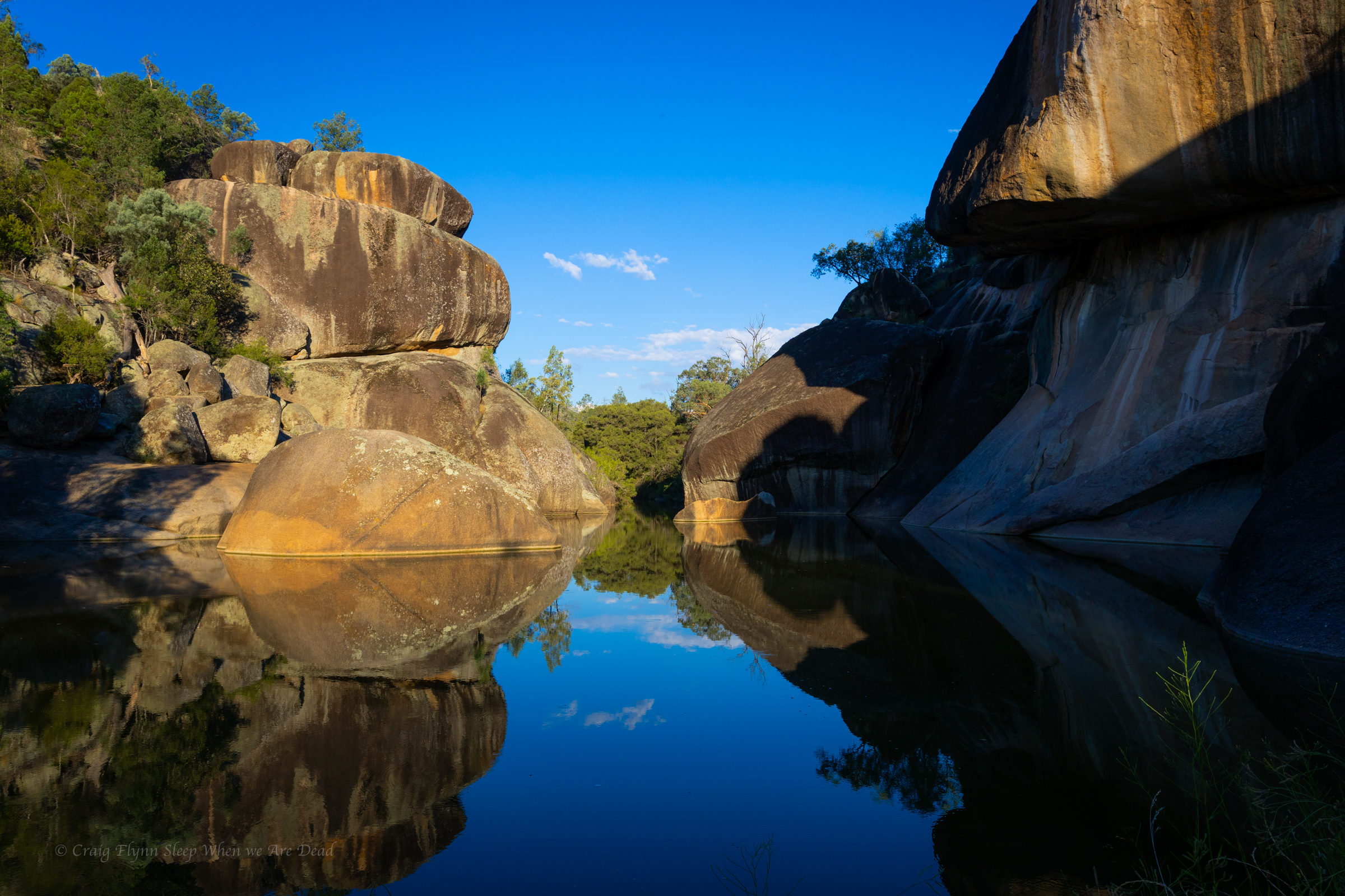
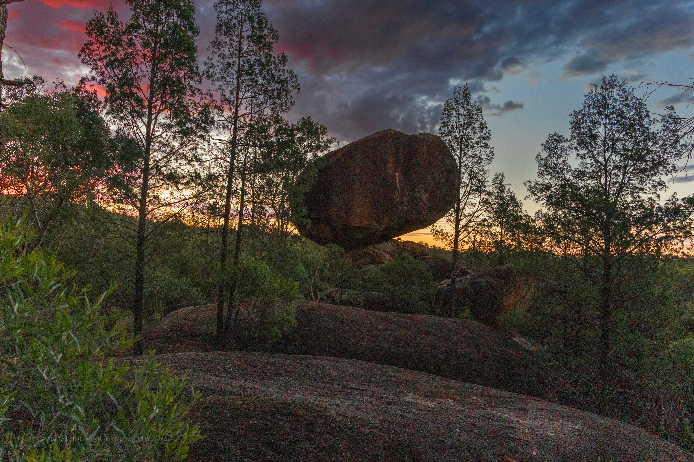
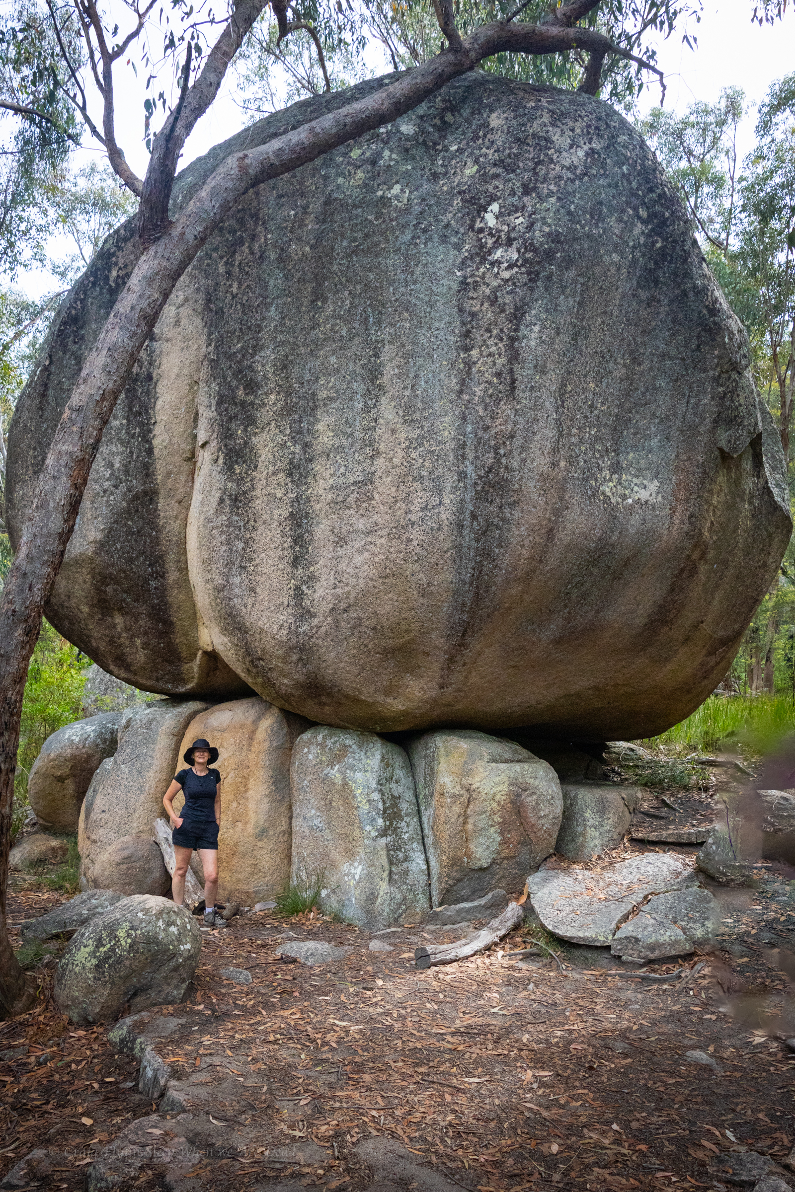
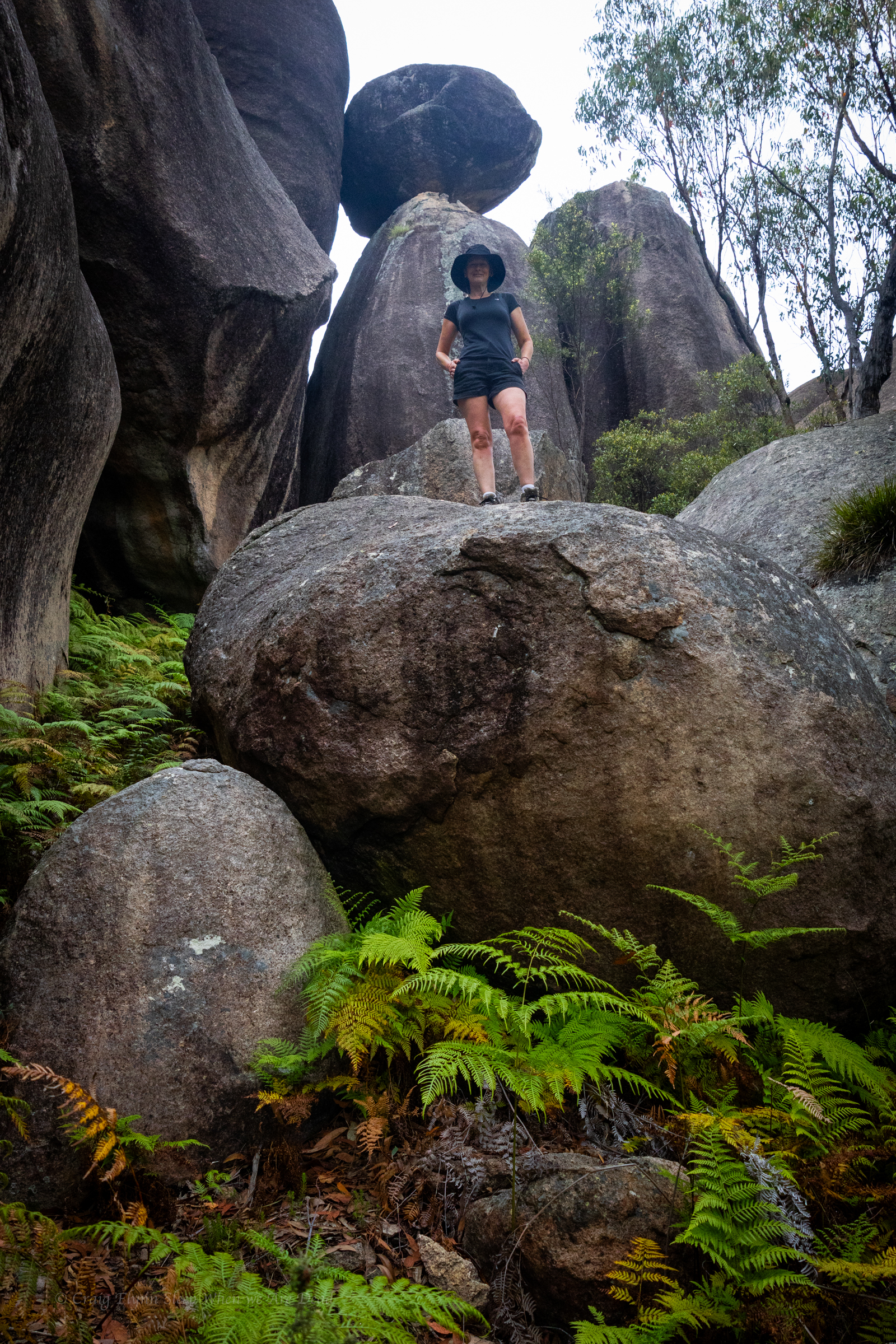
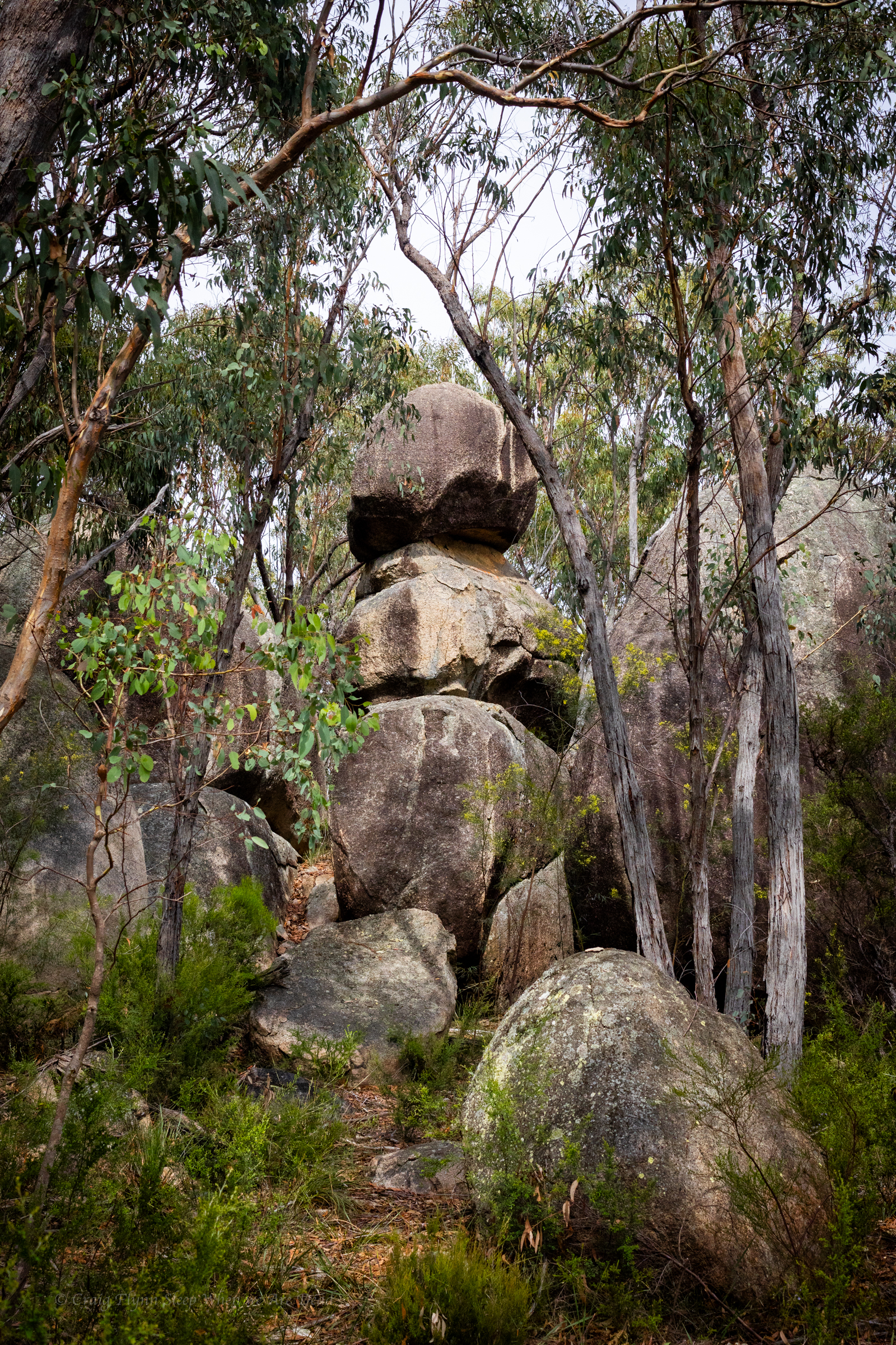
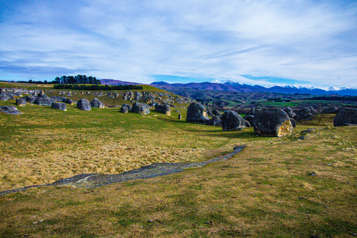
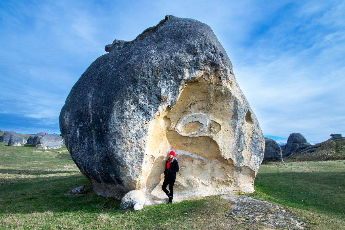
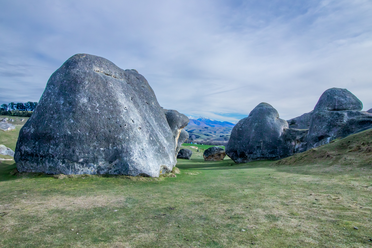
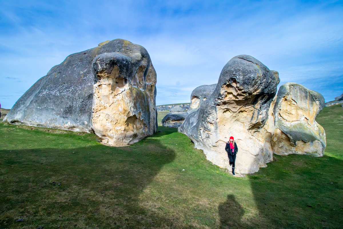
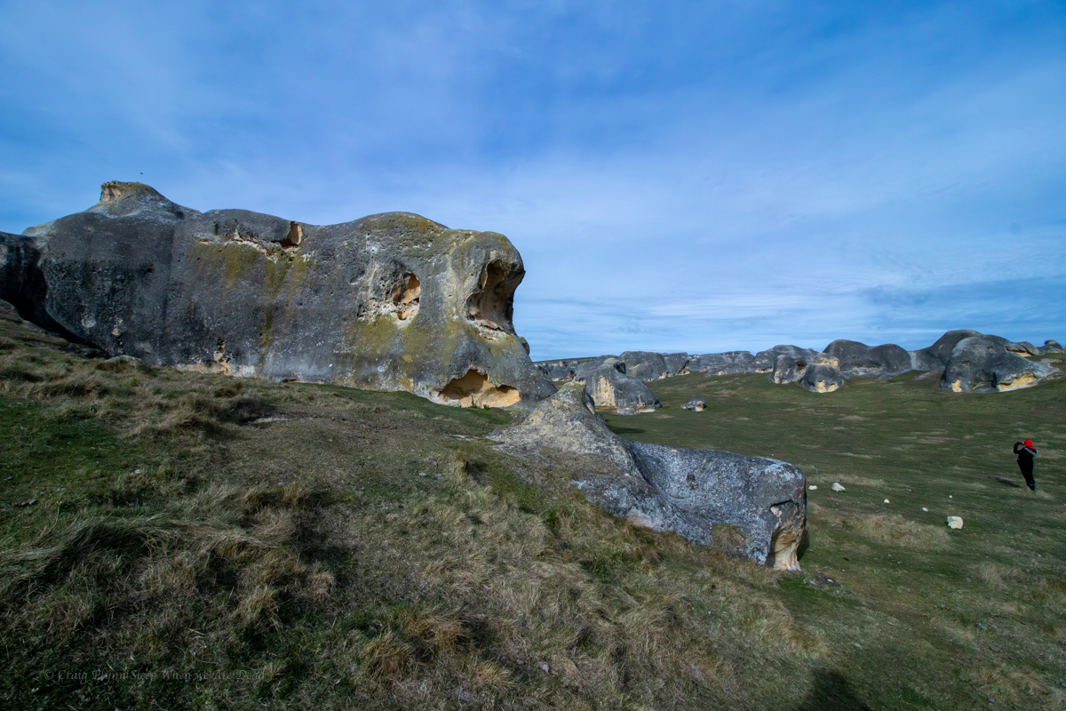
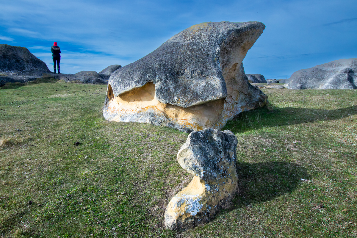
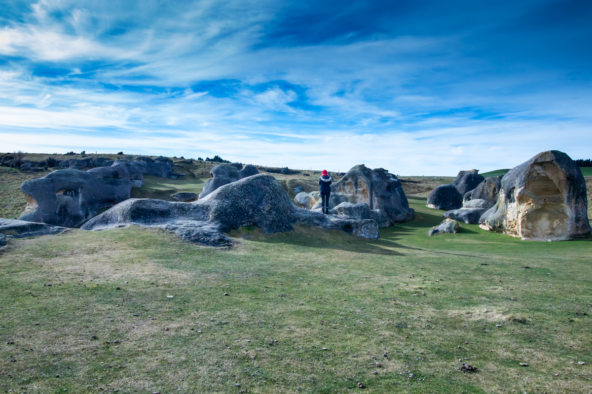
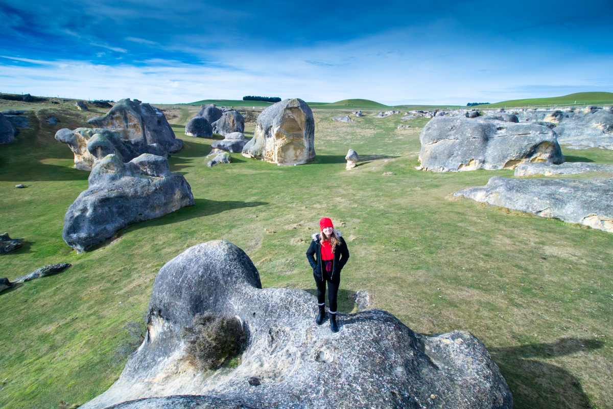
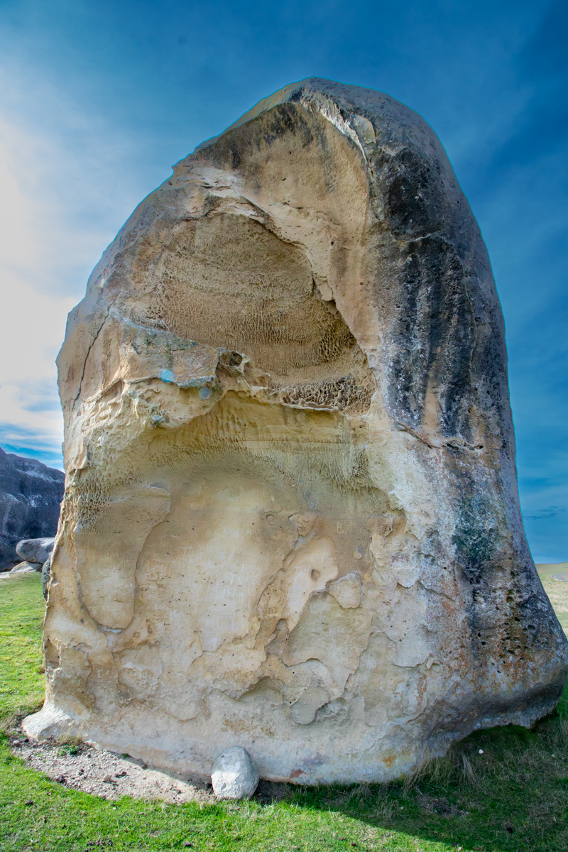
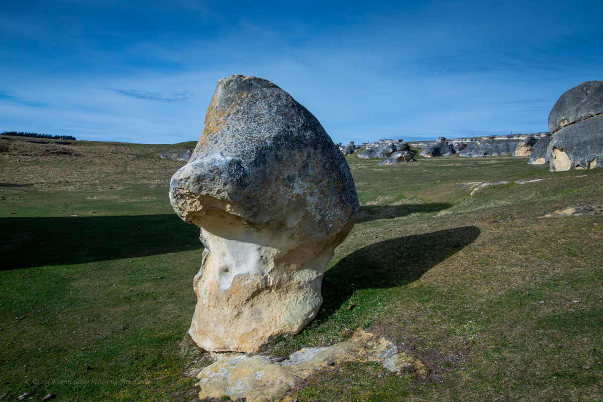
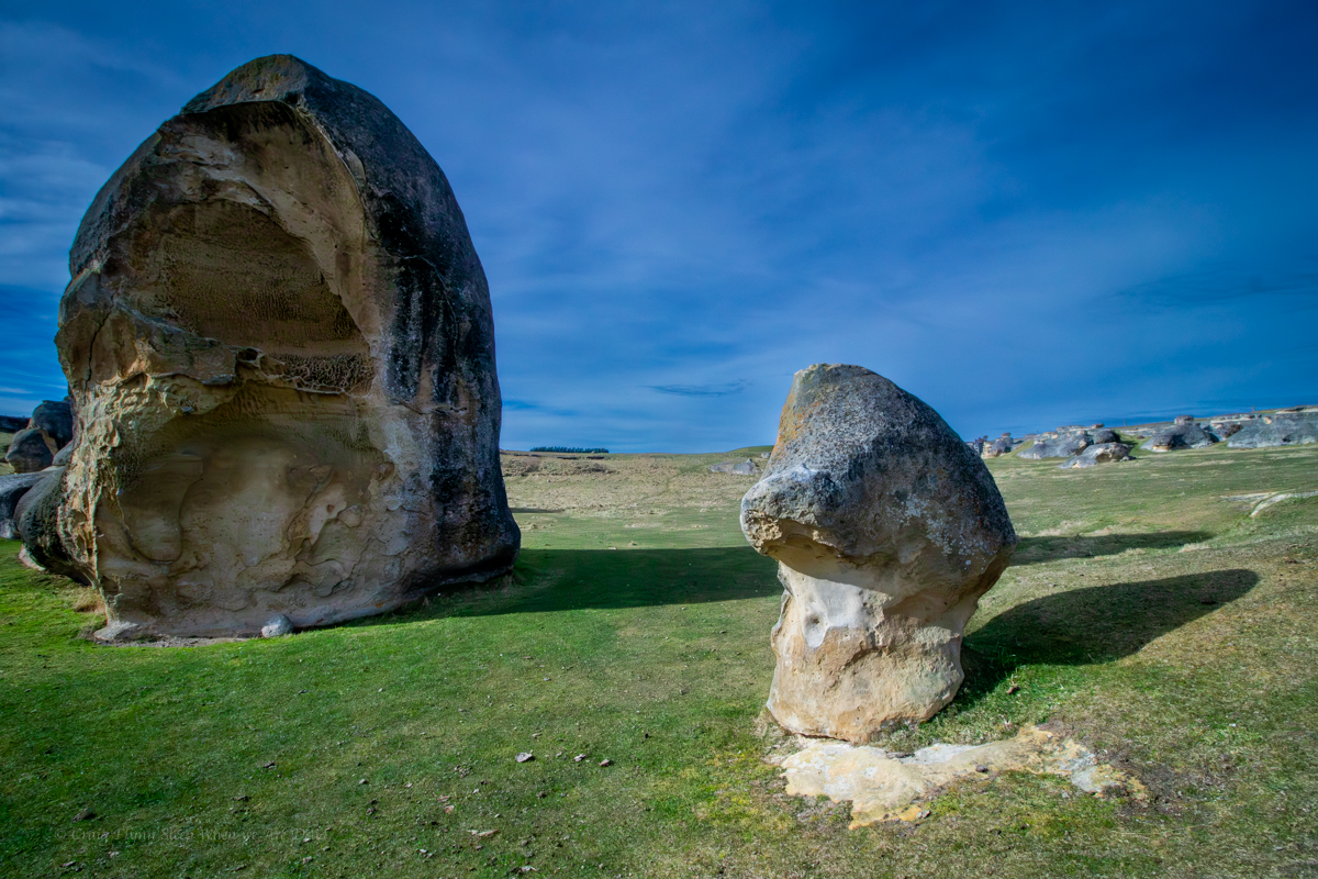
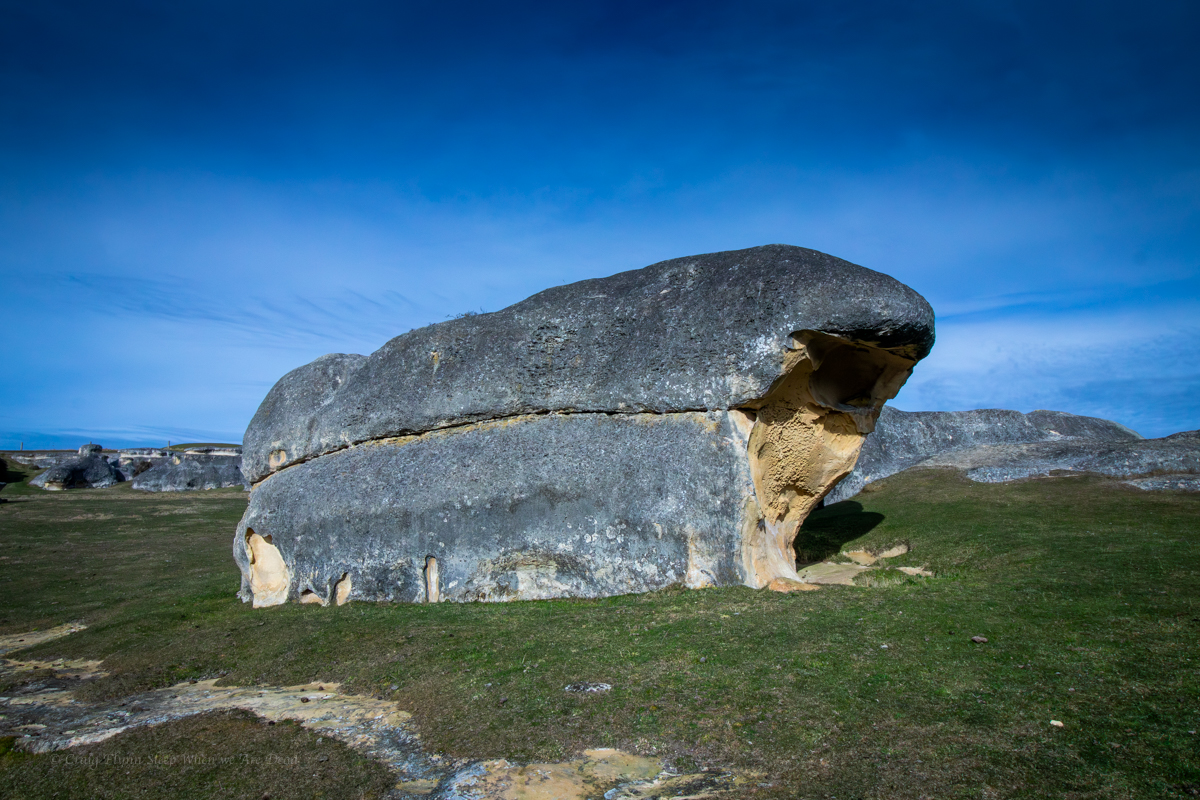
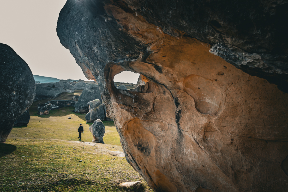
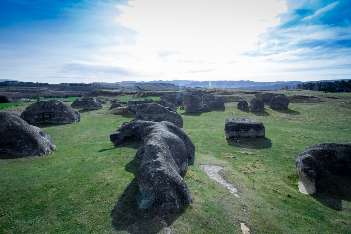
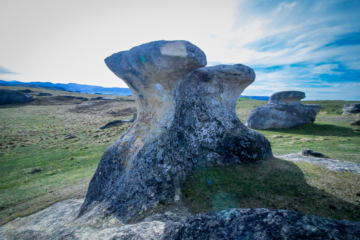
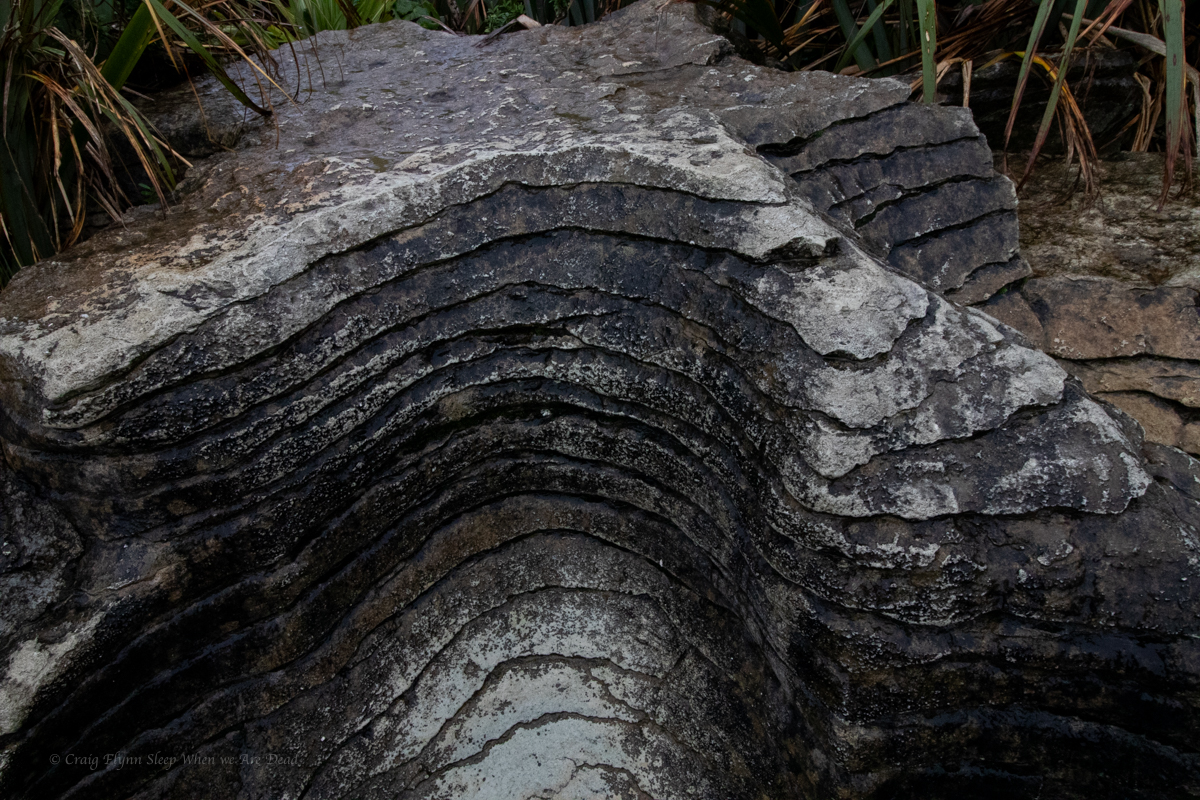
the Ancient Glacial Rocks site on Rocky creek is interesting. Superficially it looks like another granite lined gorge. A closer look and the rocks are different. You can see how they have been churned up, smashed together and dumped out.
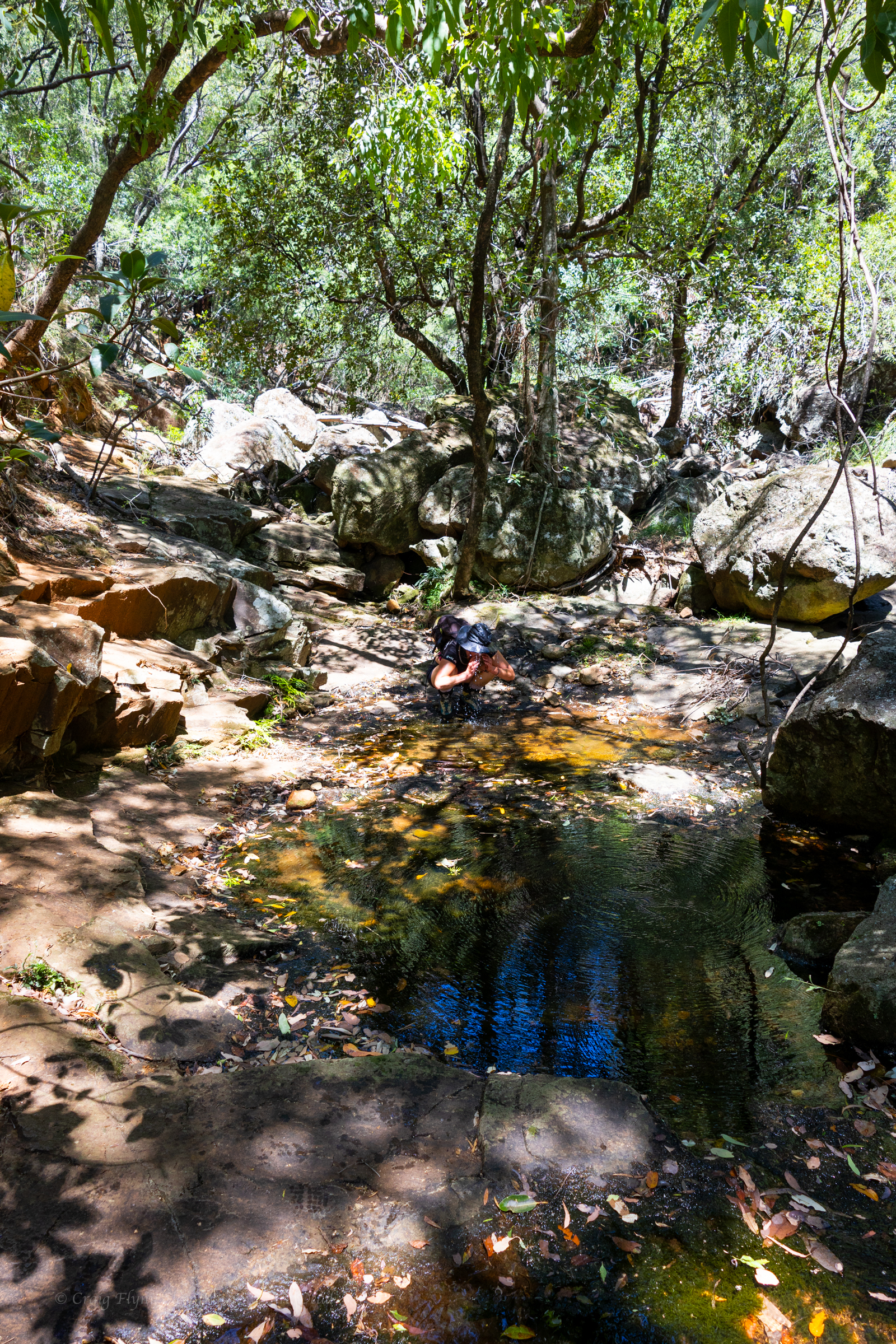
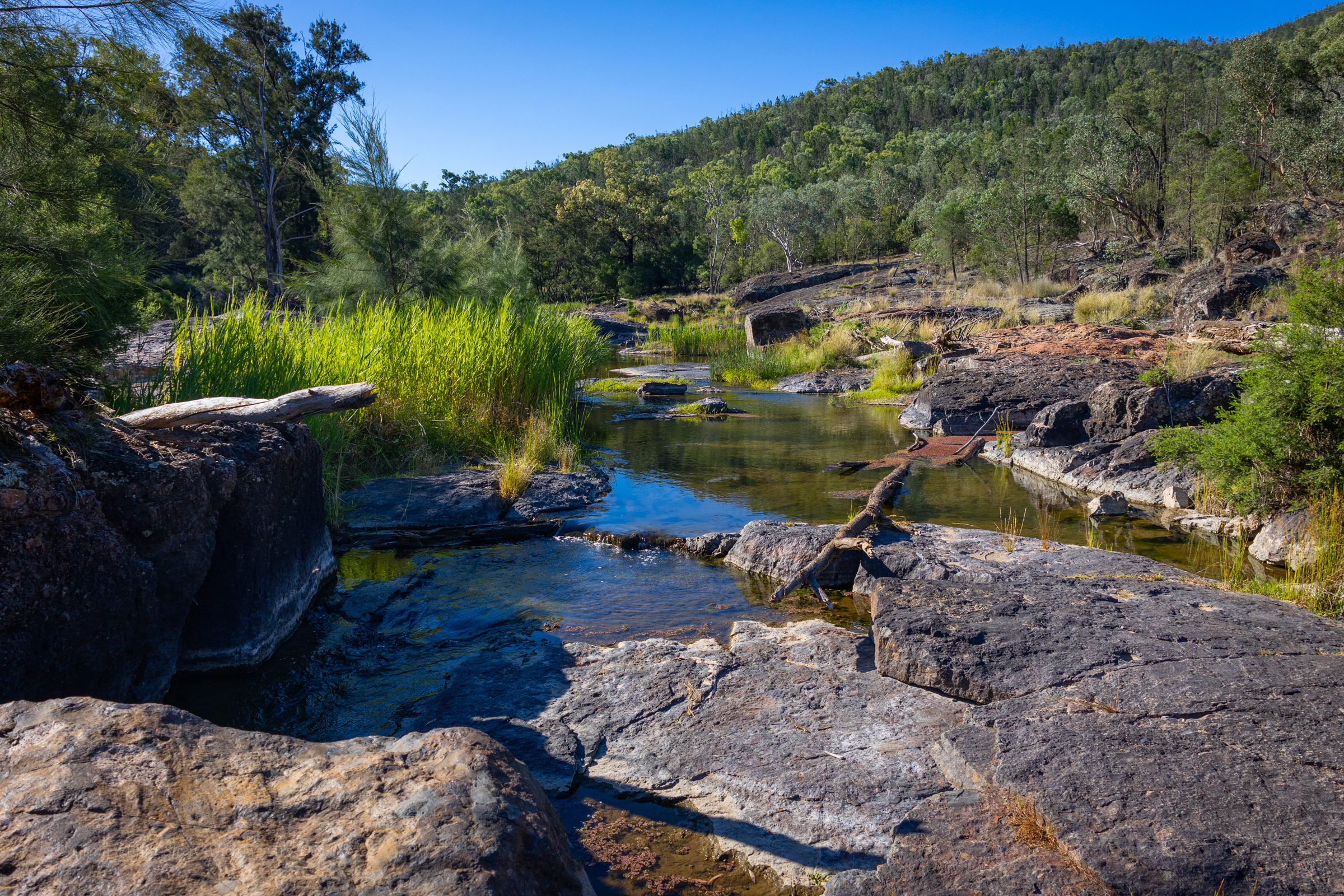
Once again the river is running through agricultural land and wild goat are everywhere but once again it’s too hot to be picky so we cool off in the rapids and then settle in for the night.
The camp site is basic but has bins and toilets. It’s worth checking out the toilet signs for a giggle.
There a 2 other campers set up. Flat spots are at a premium but we manage to jag a flat spot in shade
Winning
We eat diner with the goats. Tomorrow we head to Sawn Rocks.