08/11/2025
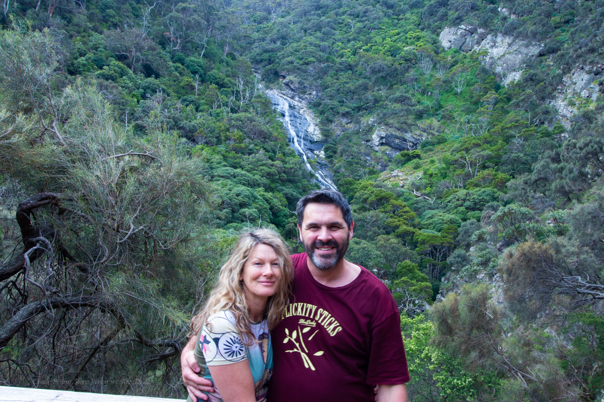
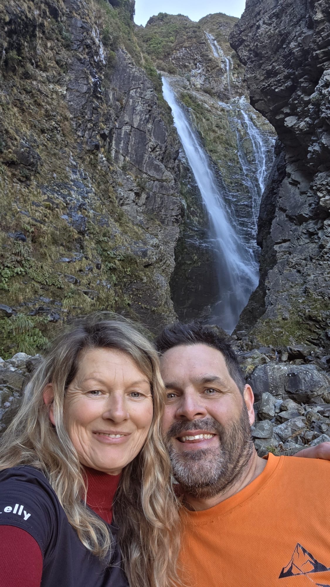
Gadget and meeeeeeeee
It had been a hectic week, we needed to get out and wanted to do something neither of us had done before but had limited time.
What about Hand Over Hand? It’s suppose to be a short half day.
Kylie did a quick bit of research and noted the trace on ropewiki did not match the description on ropewiki. While the notes mention several exit options the main description was for the shorter exit. The trace was for the longer exit if you went down South Bowen.
TBF the South Bowen option would make a good short day trip but if you had just glanced over the description expecting a couple of hours then blindly followed the trace you’d be in for a shock.
With mapping apps like alltrails becoming more popular this is becoming a bit of an issue. There have been reports of people looking for the infinity pool at the end of Fortress or the bush walker route to Dalpura but unknowingly loading the GPX trace for the canyon trips instead and getting themselves into trouble.
Don’t get me wrong, Alltrails and other mapping apps are a handy resource, but like any tool you need to know how to use them.
A good tip is to start with the premise that you have no idea who uploaded it, what their skill and experience is (an easy rock scramble for a gun climber might induce a BLM (Bowel Liquifying Moment) to the average canyoner). You don’t know what information or directions they themselves were following or if they just stumbled along and got lucky. You don’t know if it’s their trace or one they got off someone who got it off someone who got it off someone. Hell, you don’t even know if they have actually done the route, it might be just a speculatively drawn line on a map.
So, load it onto your mapping app and have a good look. Does it look to follow the best contours? Are there other options? Why does it do that big zigzag at the cliff? And does it match your expectations from the description?
Cross referencing the track notes with other sources and trip reports will also give you a broader understanding of the trip.
Anyhoo, enough pontification. that side track was longer than the trip and maybe well over the top for experienced canyoners on a simple trip like HoH but it’s how we role.
Now onto the canyon.
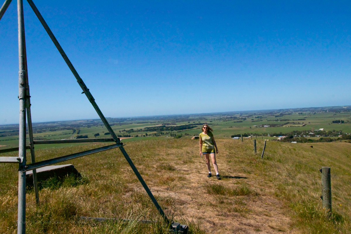
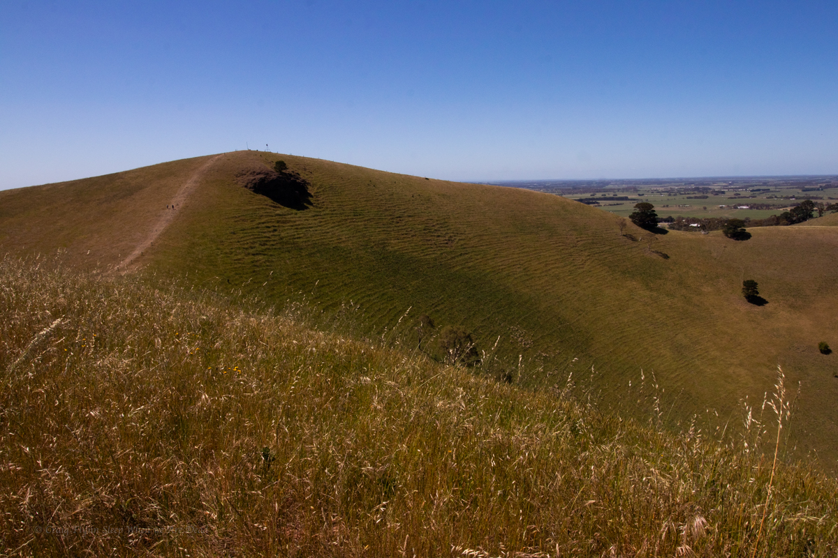
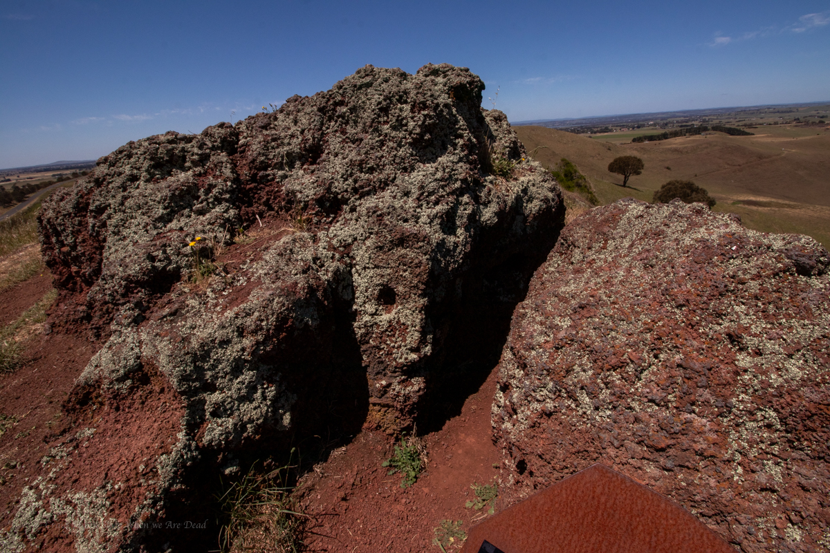
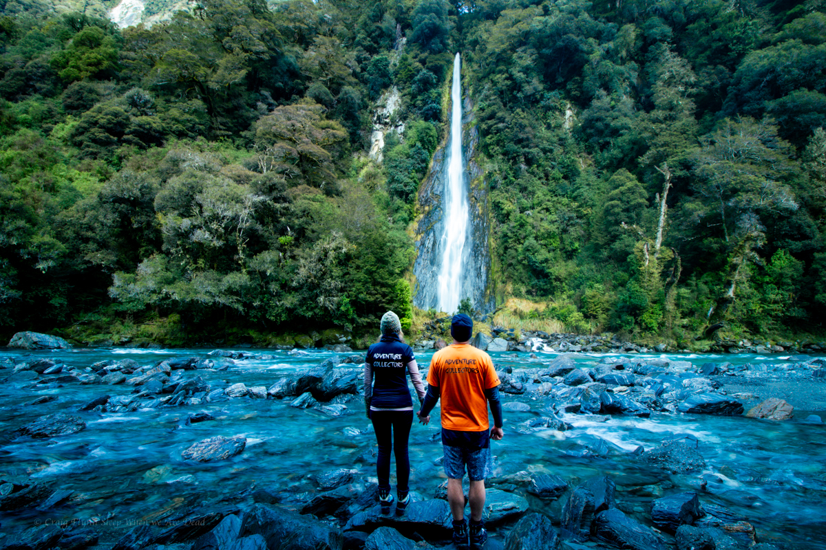
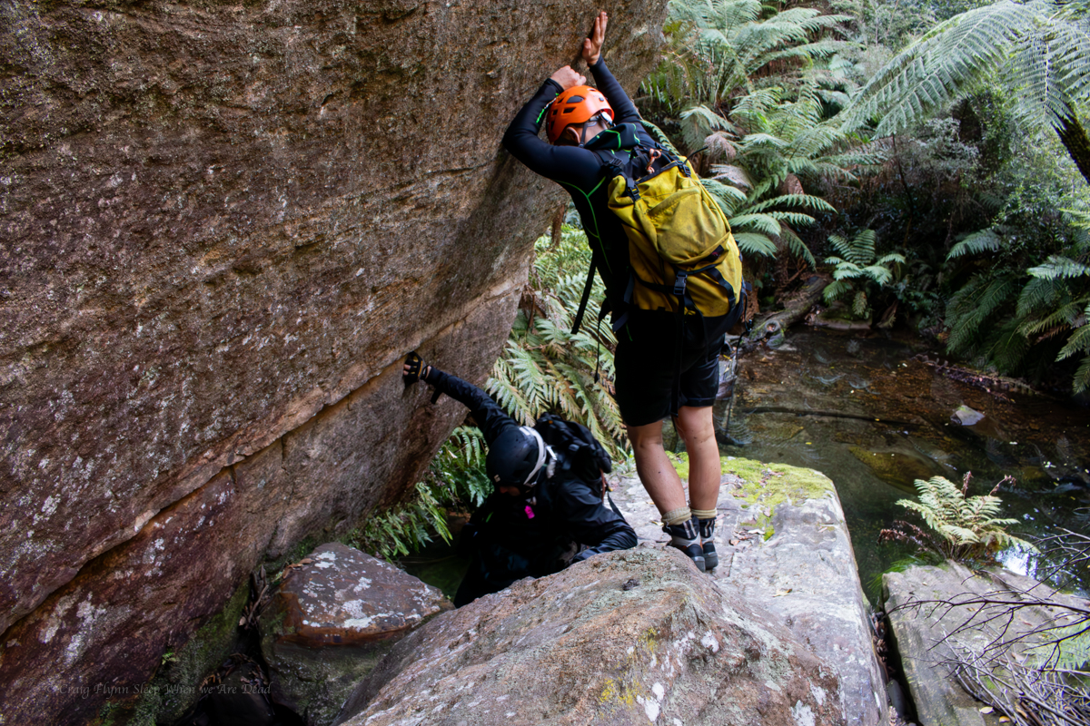
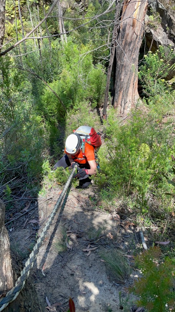
We leave home at the crack of 10:30am and make our way across to park up at the start of the Mount Wilson East Power Line fire trail. A short distance down here and we swing down under the powerlines.
The description hinted at horrendous scrub in the creek so I had hoped to drop in a little lower. I choose a nose I hoped goes between two side creeks and we make easy time down to the cliff line.
Right creek looks like it cliffs out. Calls I
Left looks like it goes, answers Gadget.
I make my way across and scramble into the side of the side creek. In doing so I disturb the biggest copperhead snake I’ve ever seen. Chunky boi makes a bee line toward Kylie.
Snake coming directly at you! warns I
WTF! yells Kylie. But in long form. This is no time for three letter acronyms.
Snekie snek dodges her ankles and disappears into scrub.
Well that was fun.
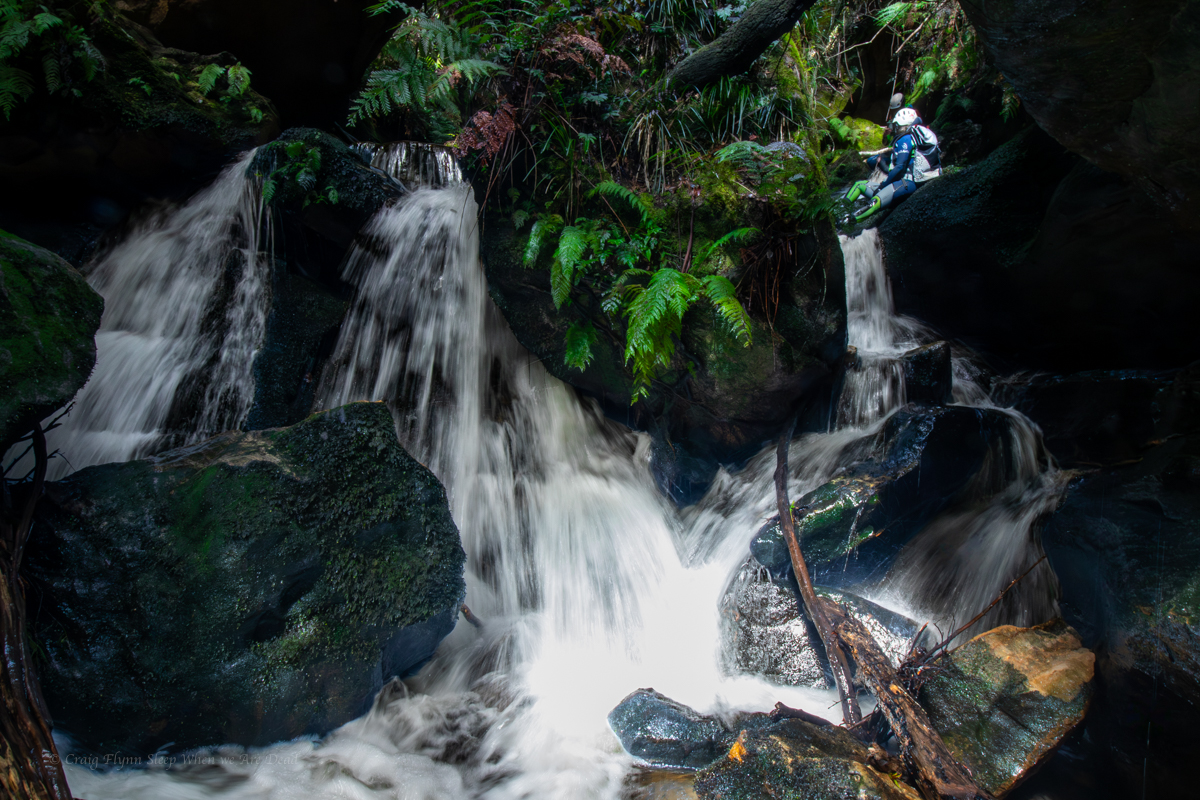
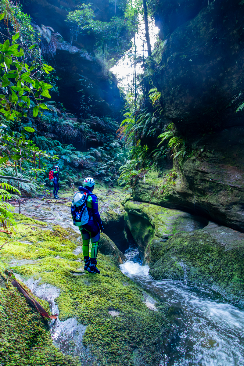
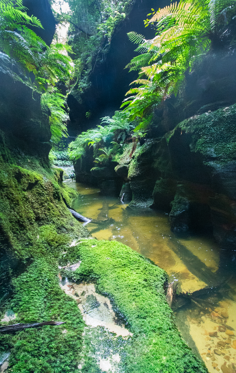
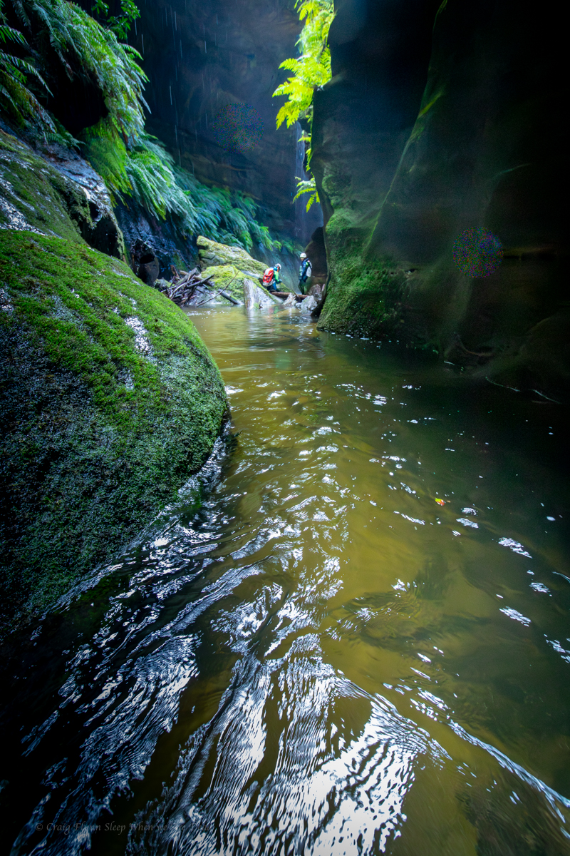
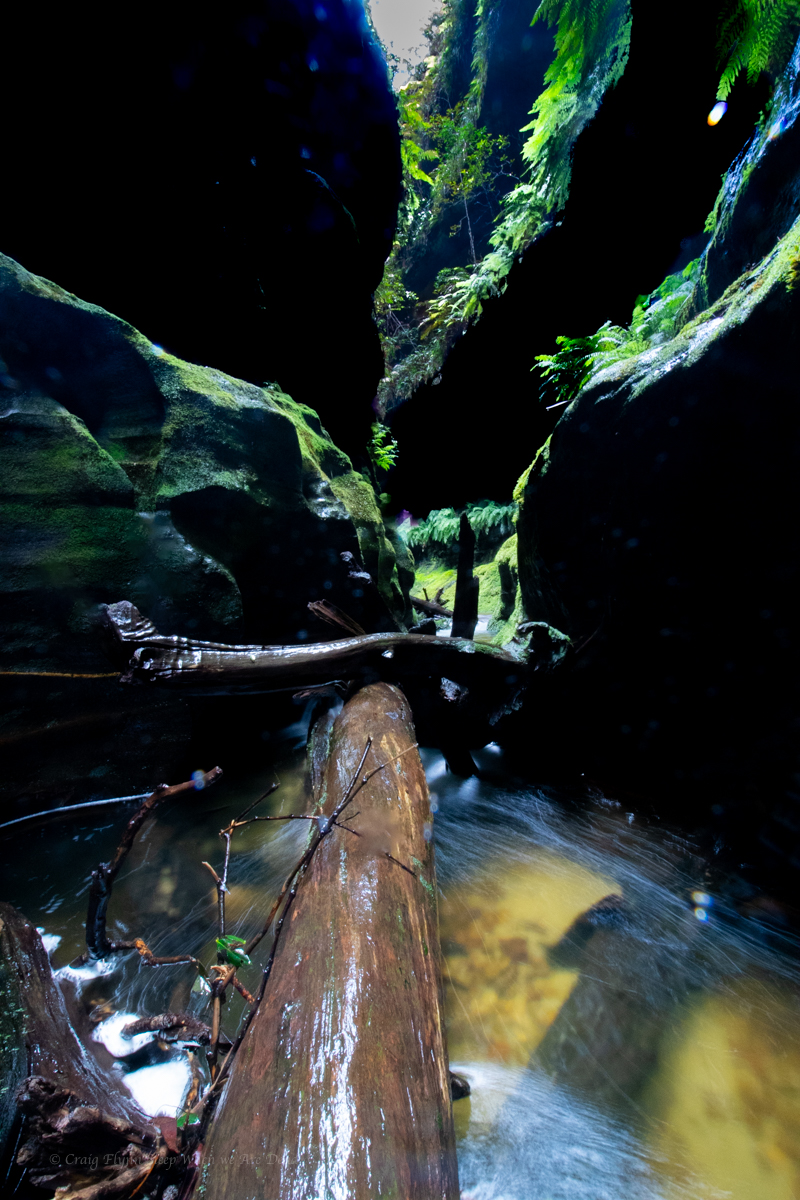
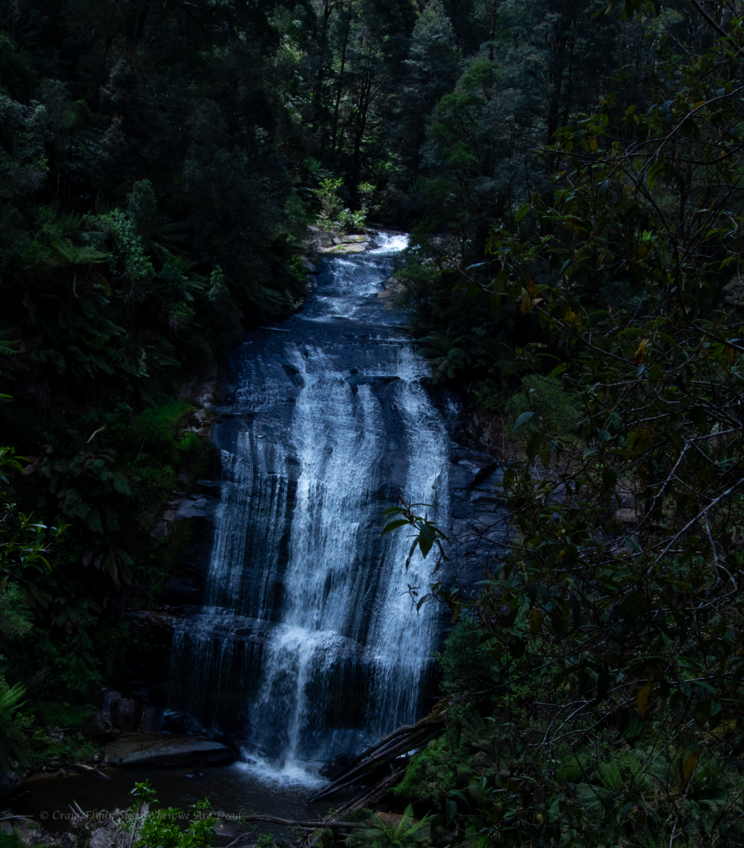
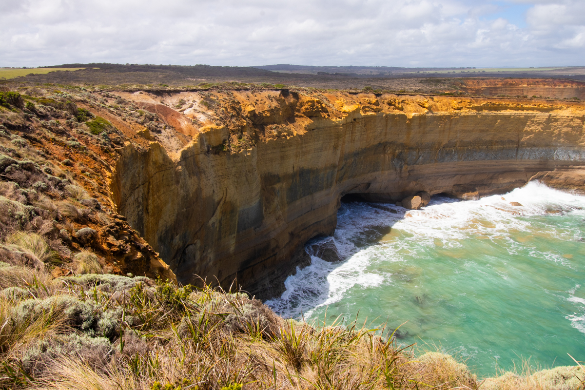
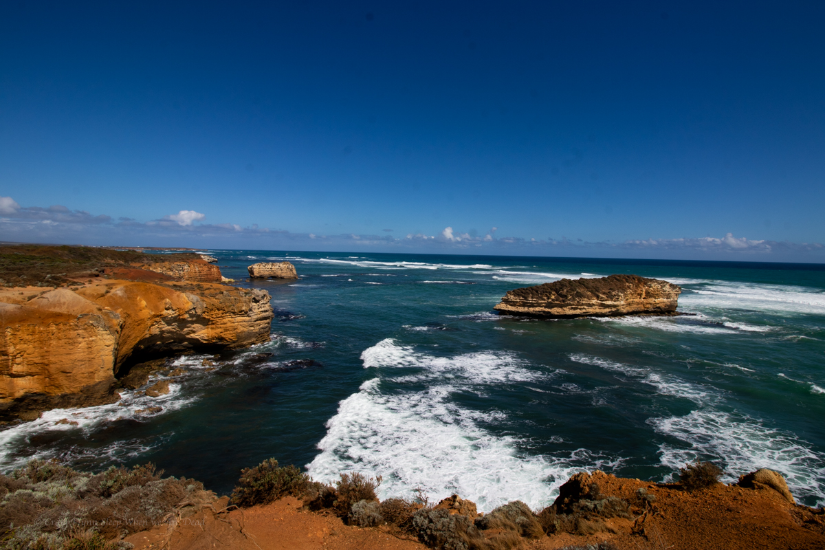
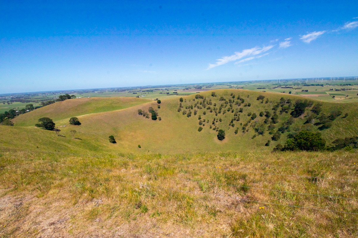
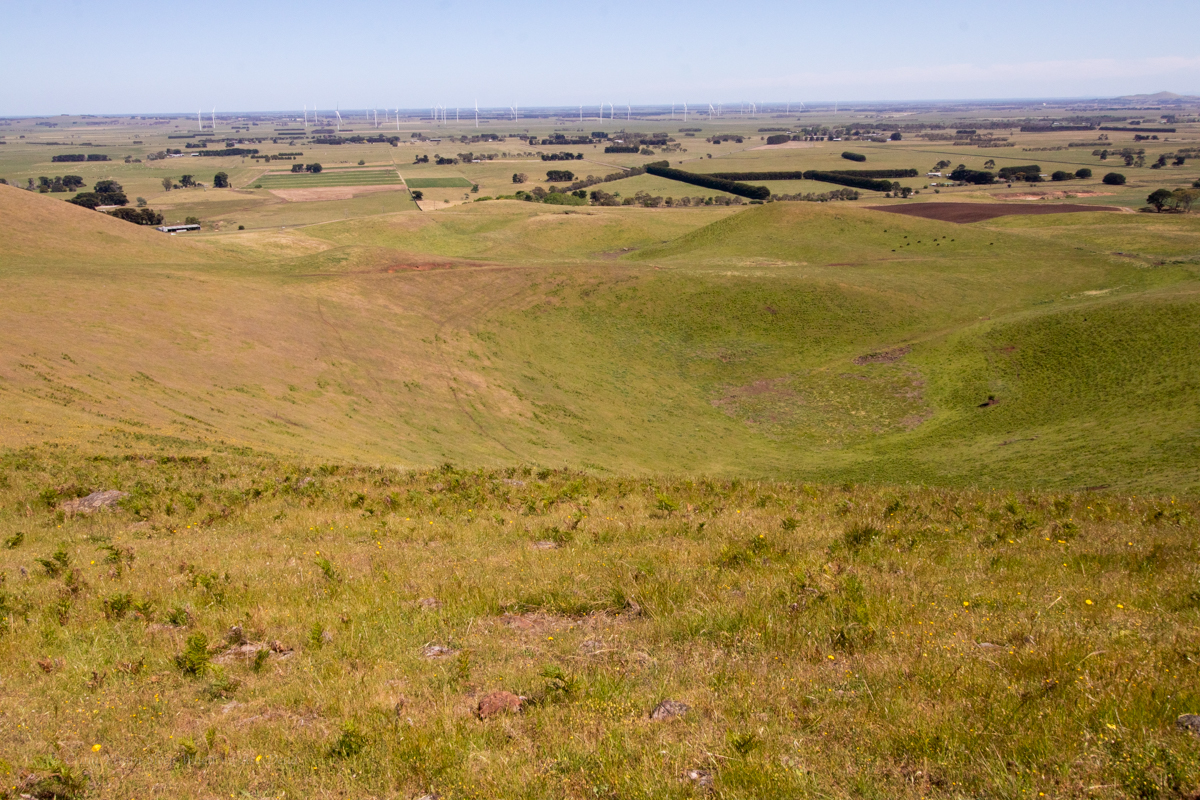
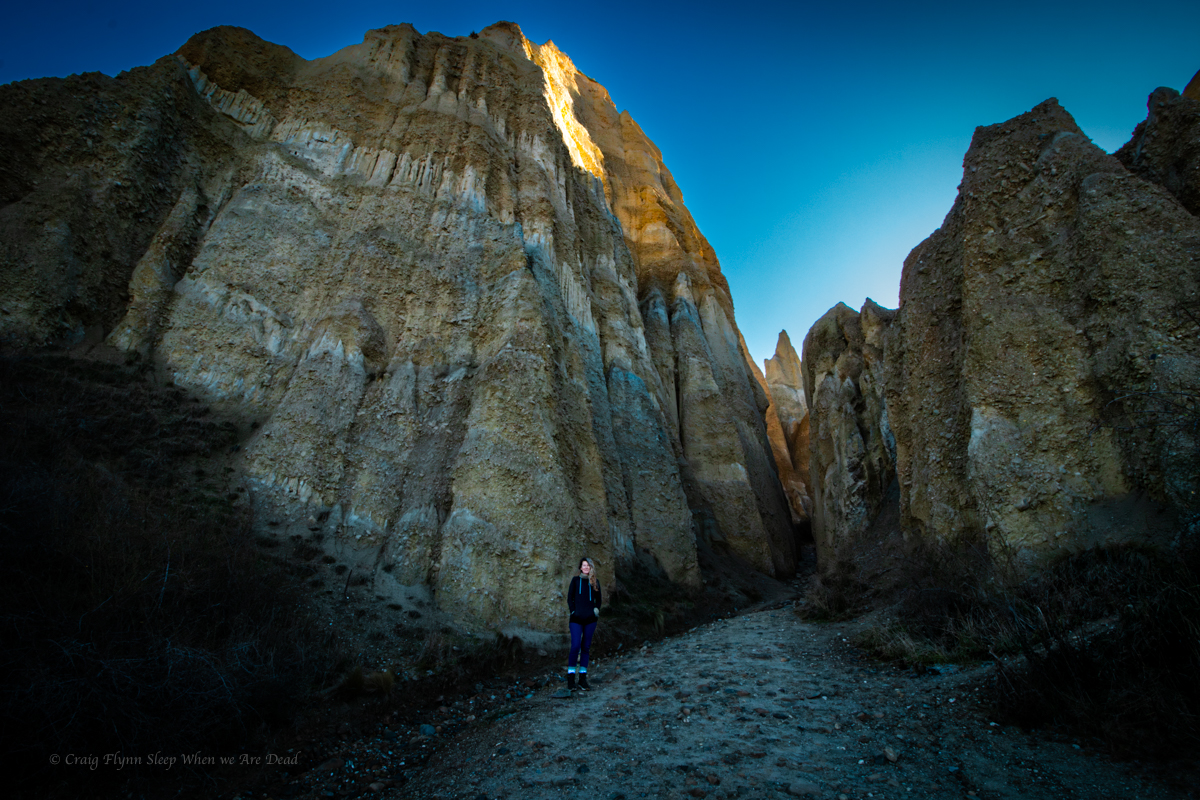
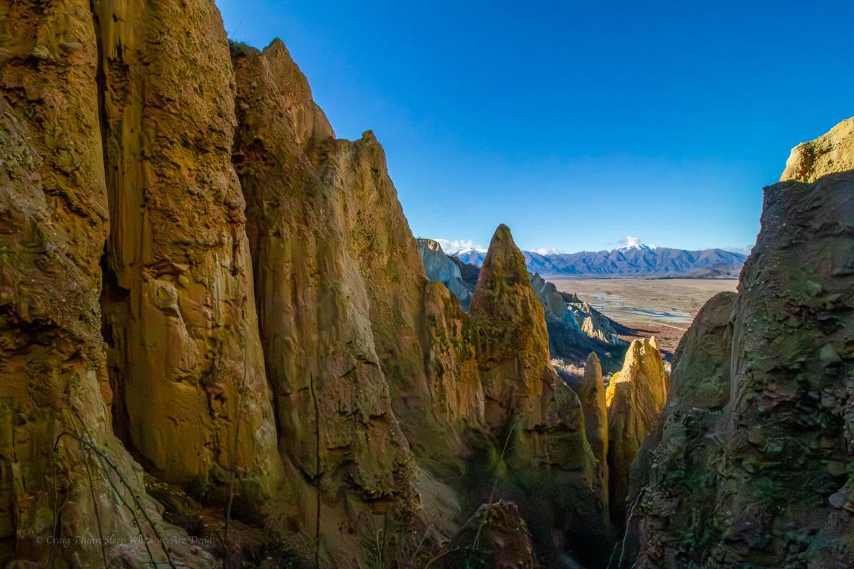
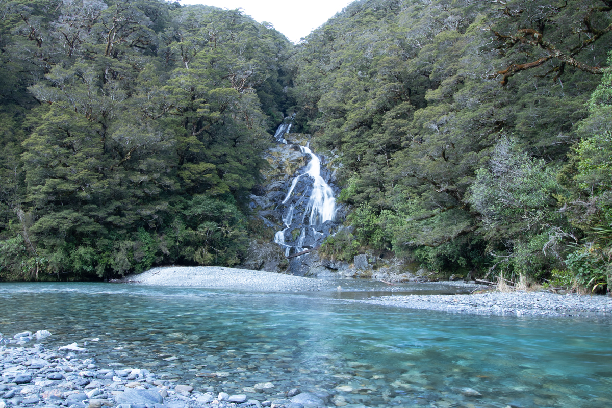
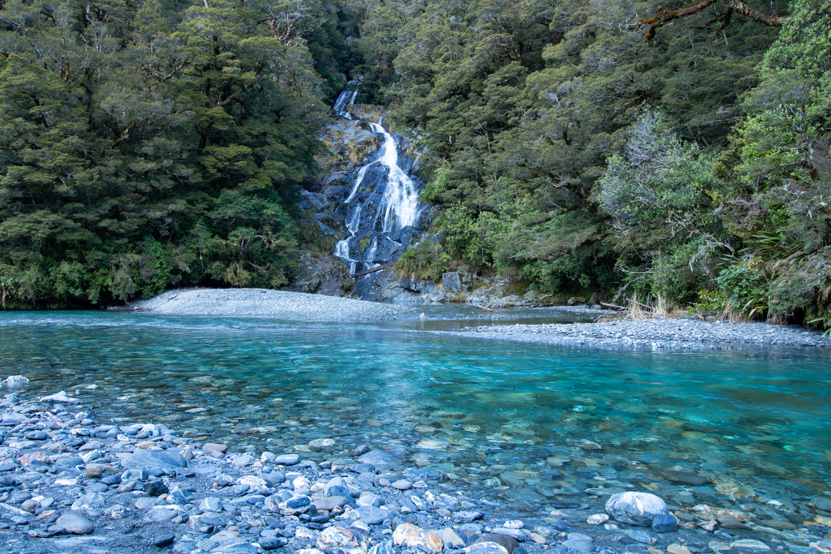
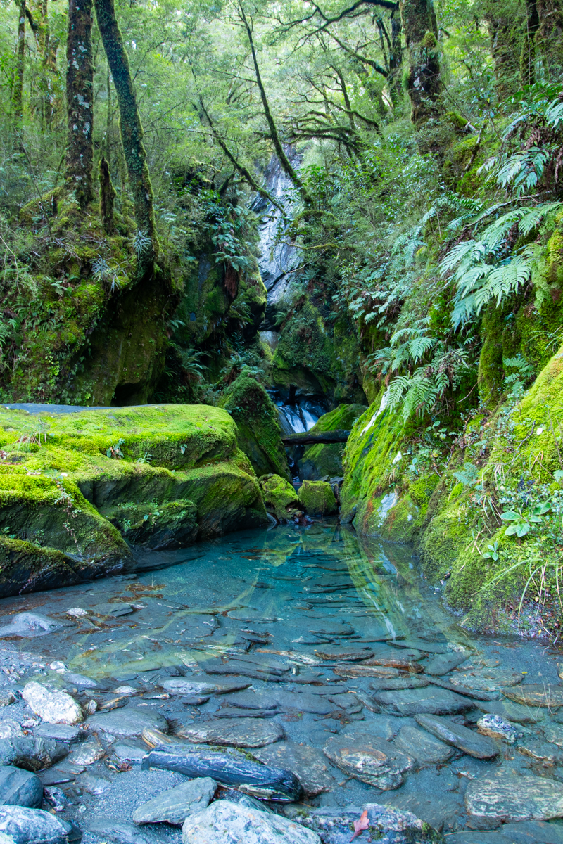
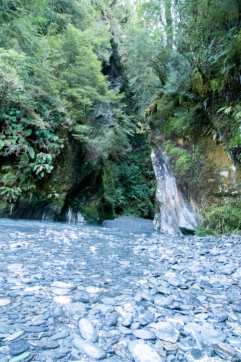
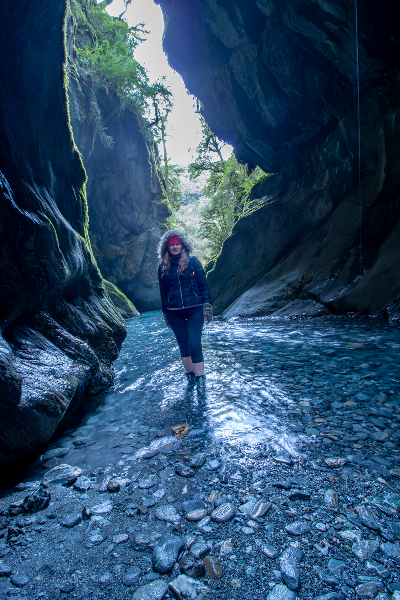
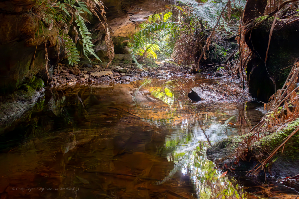
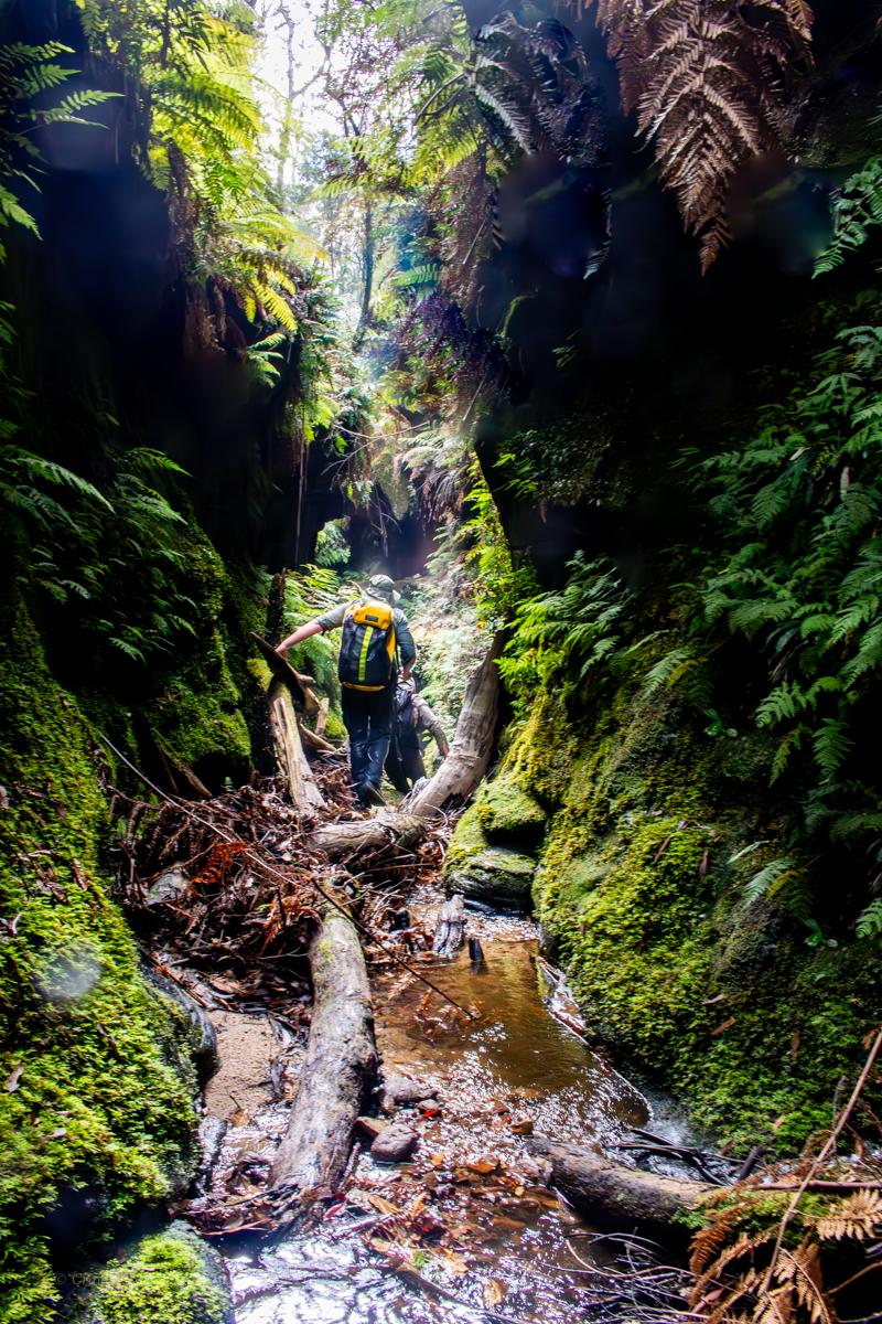
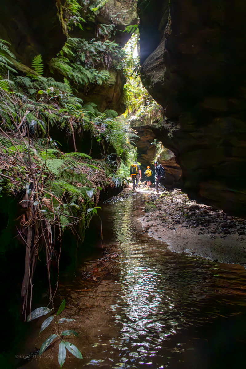
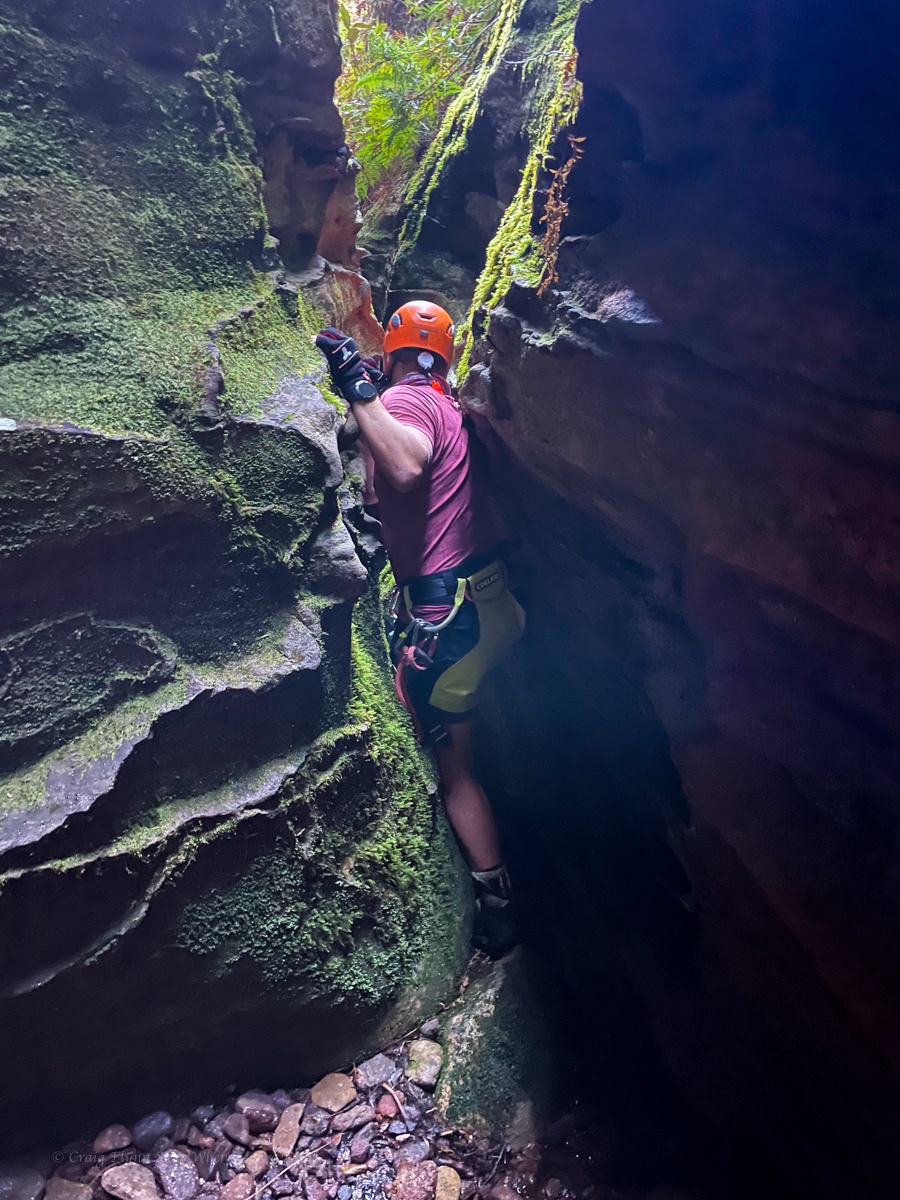
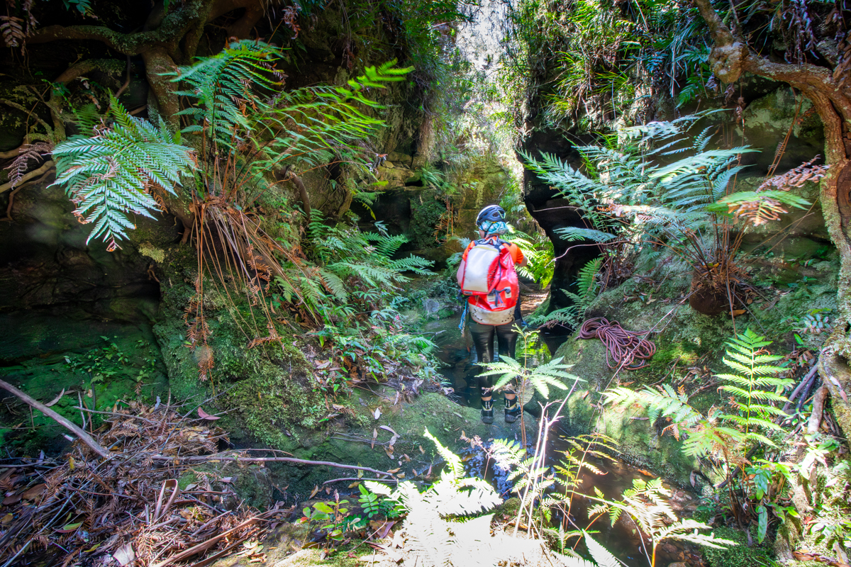
We gain the creek. Scrub and dead fall awaits. We hadn’t saved ourselves as much creek bashing as I hoped but we make our way down to the upper section of canyon.
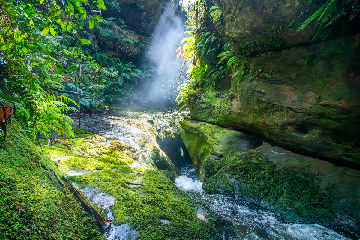
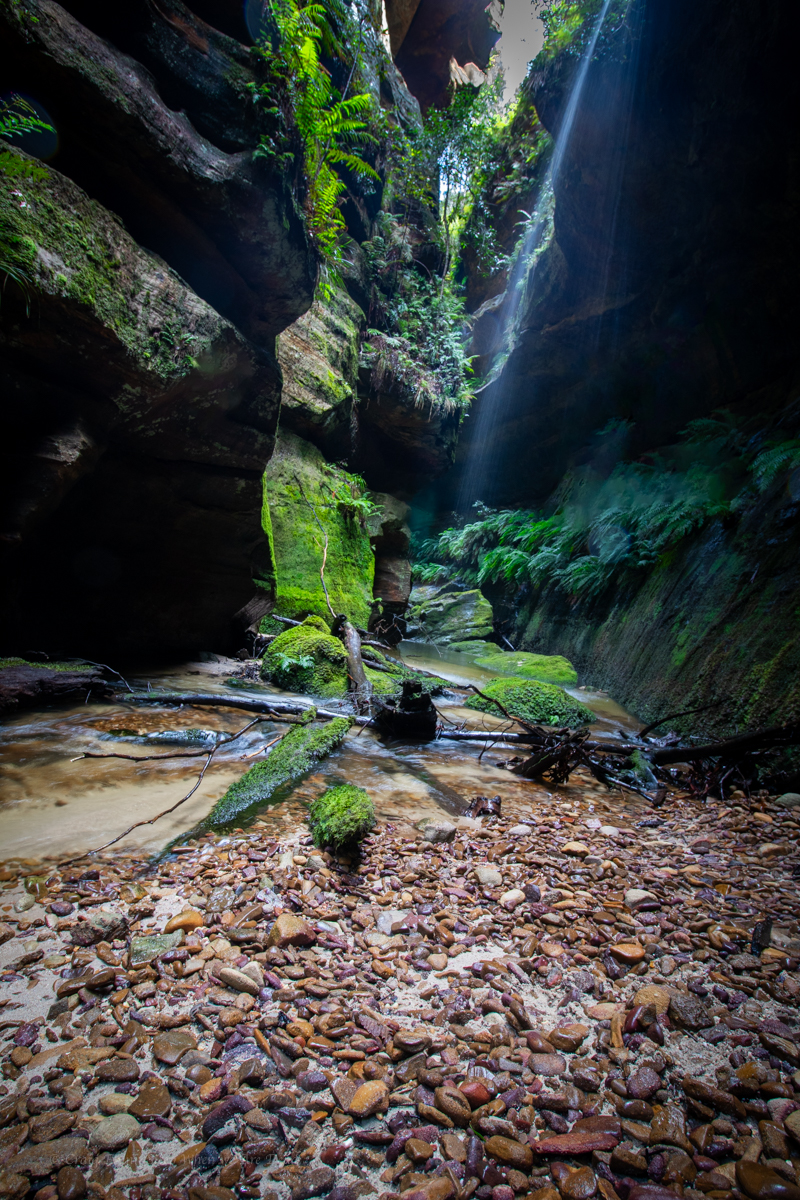
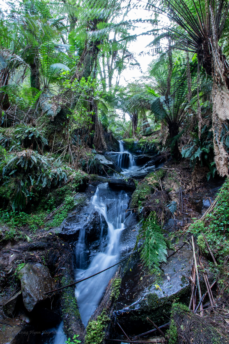
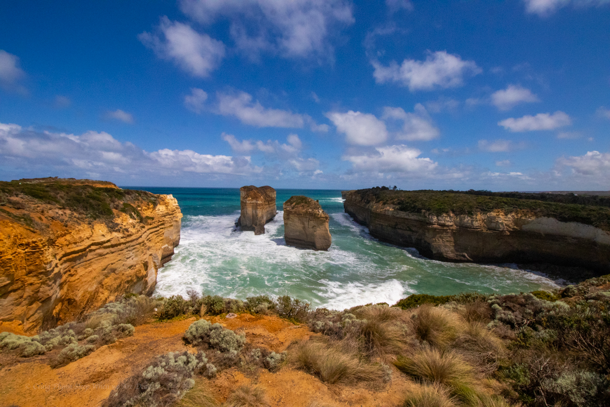
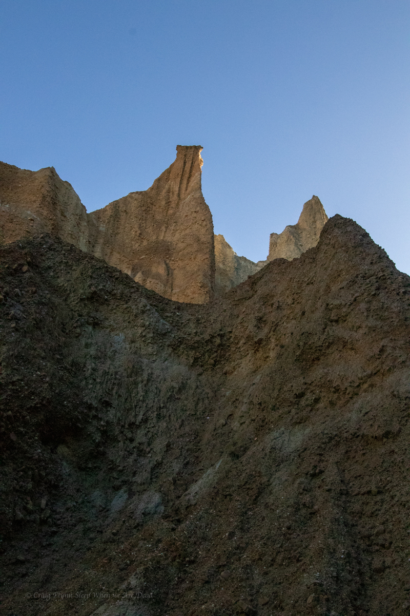
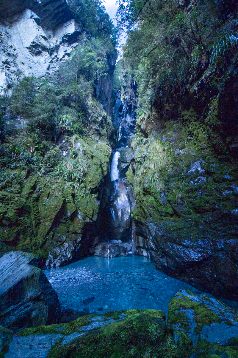
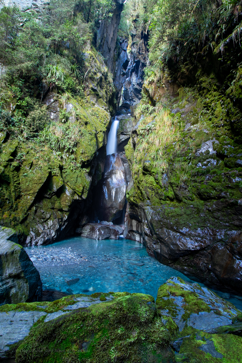
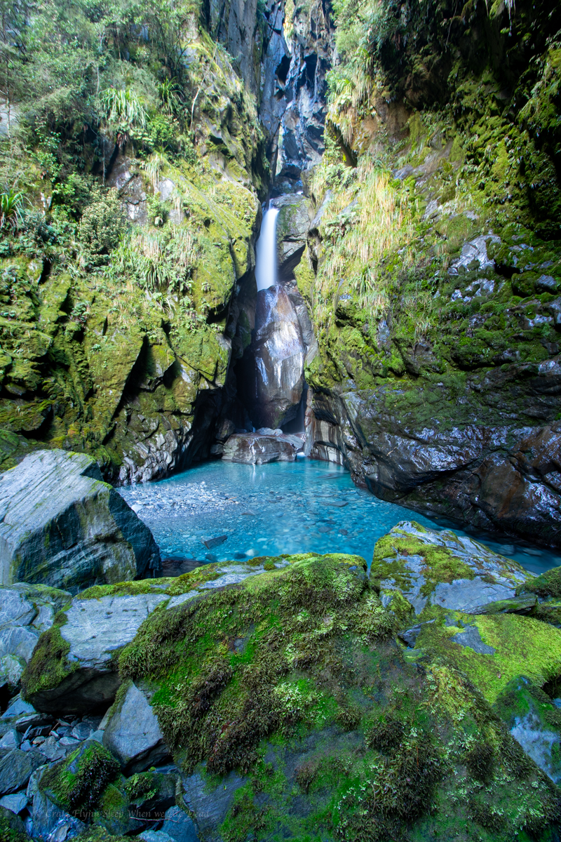
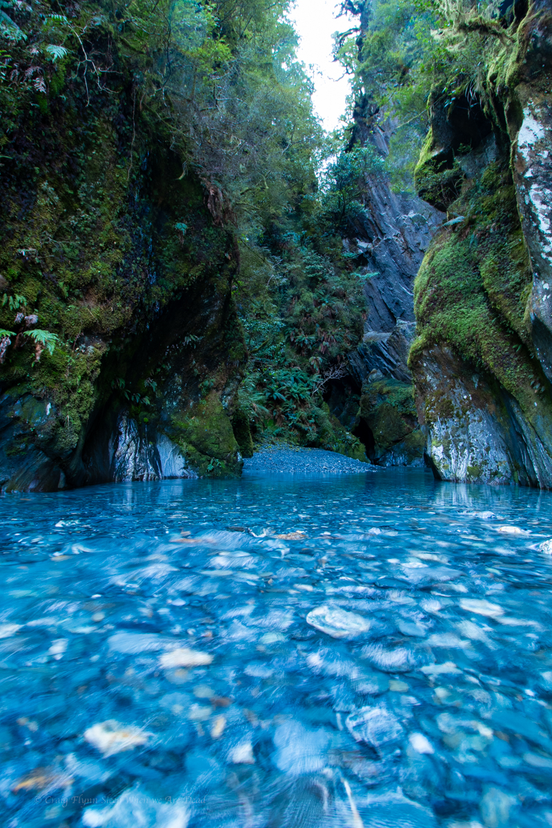
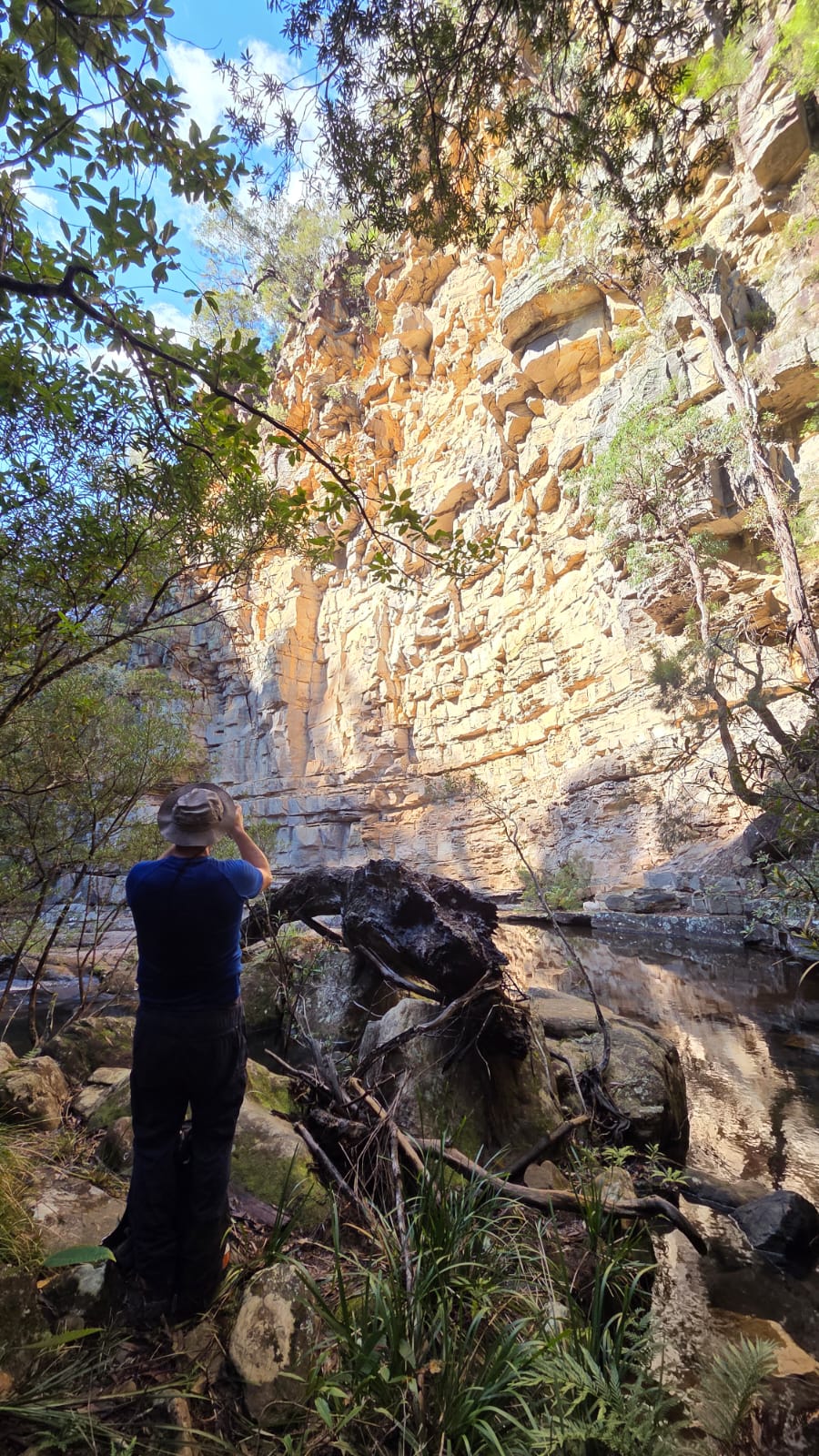
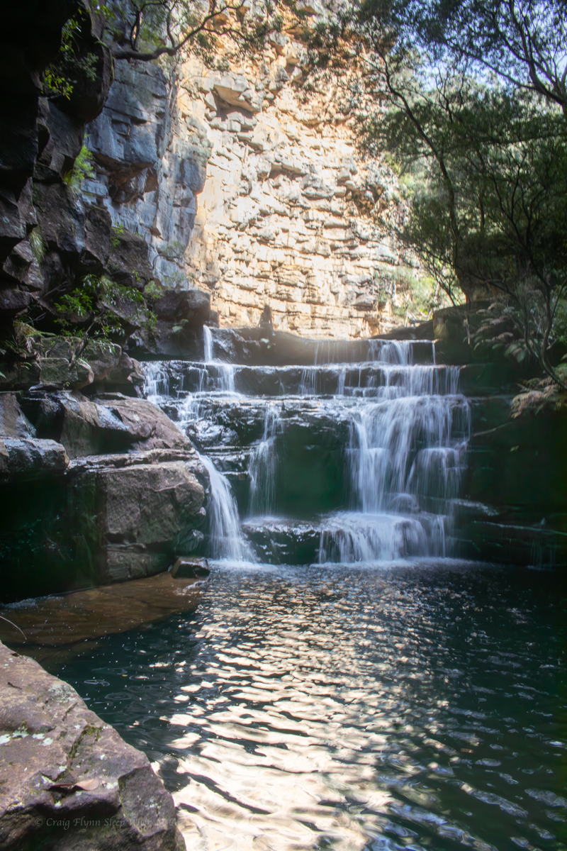
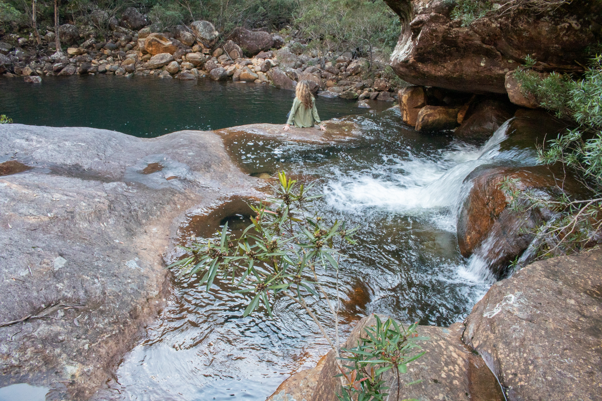
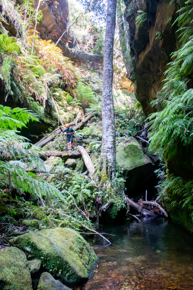
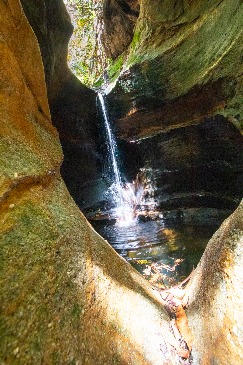
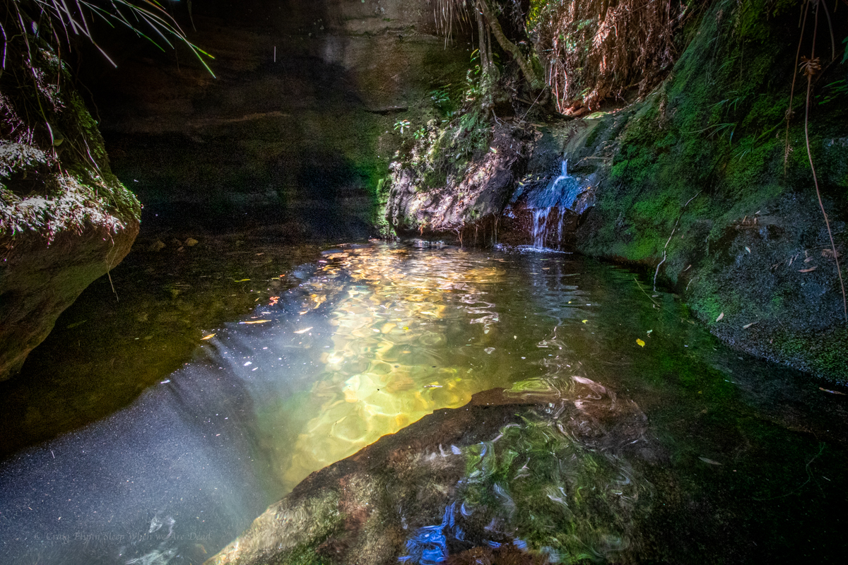
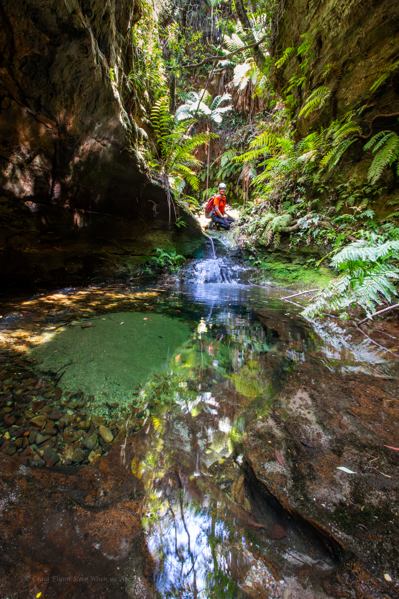
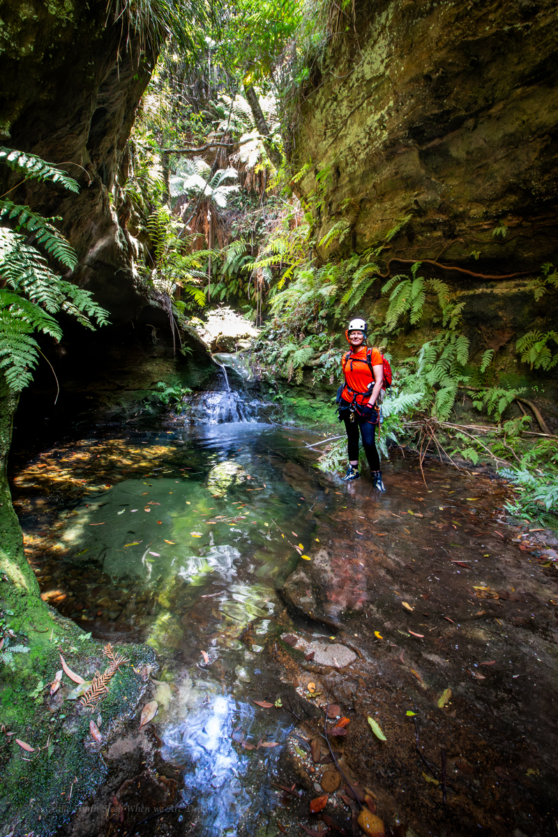
It starts with a bit of promise, with a crystal clear pool below a small down climb as the cliffs close in.
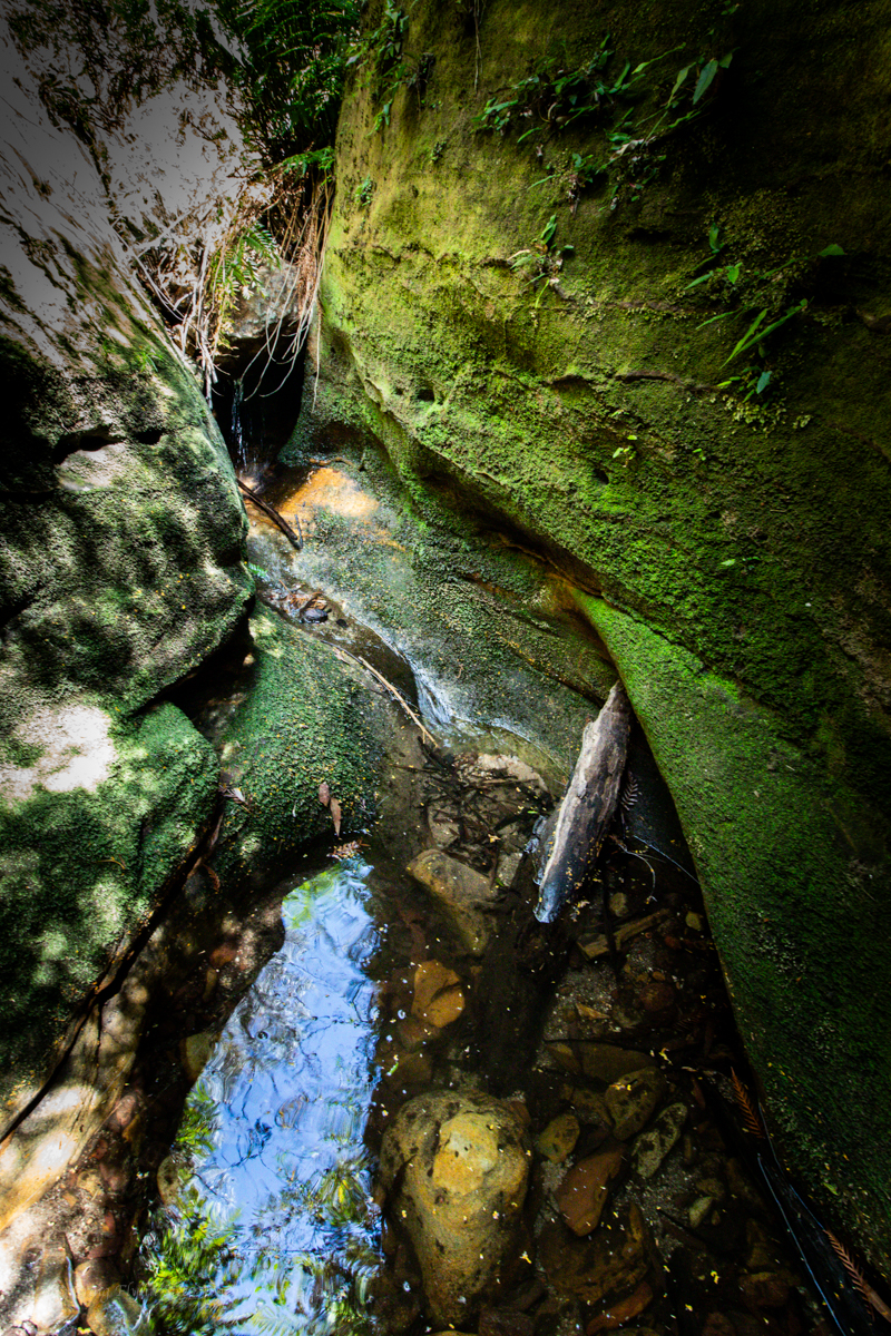
But to call it an upper section is a stretch.
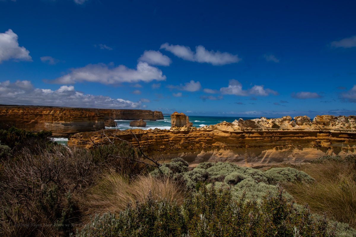
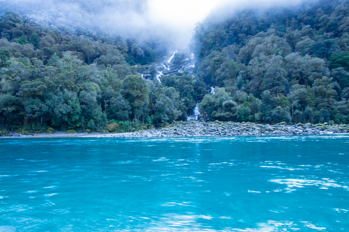
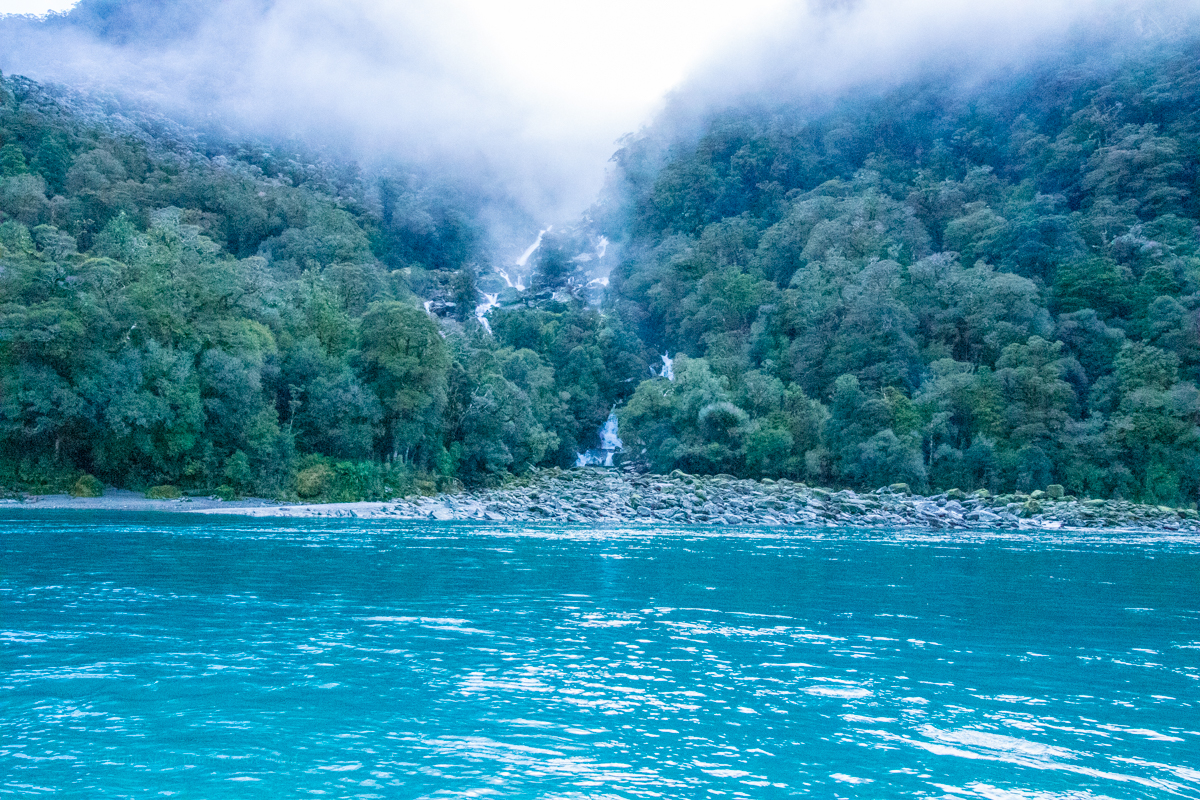
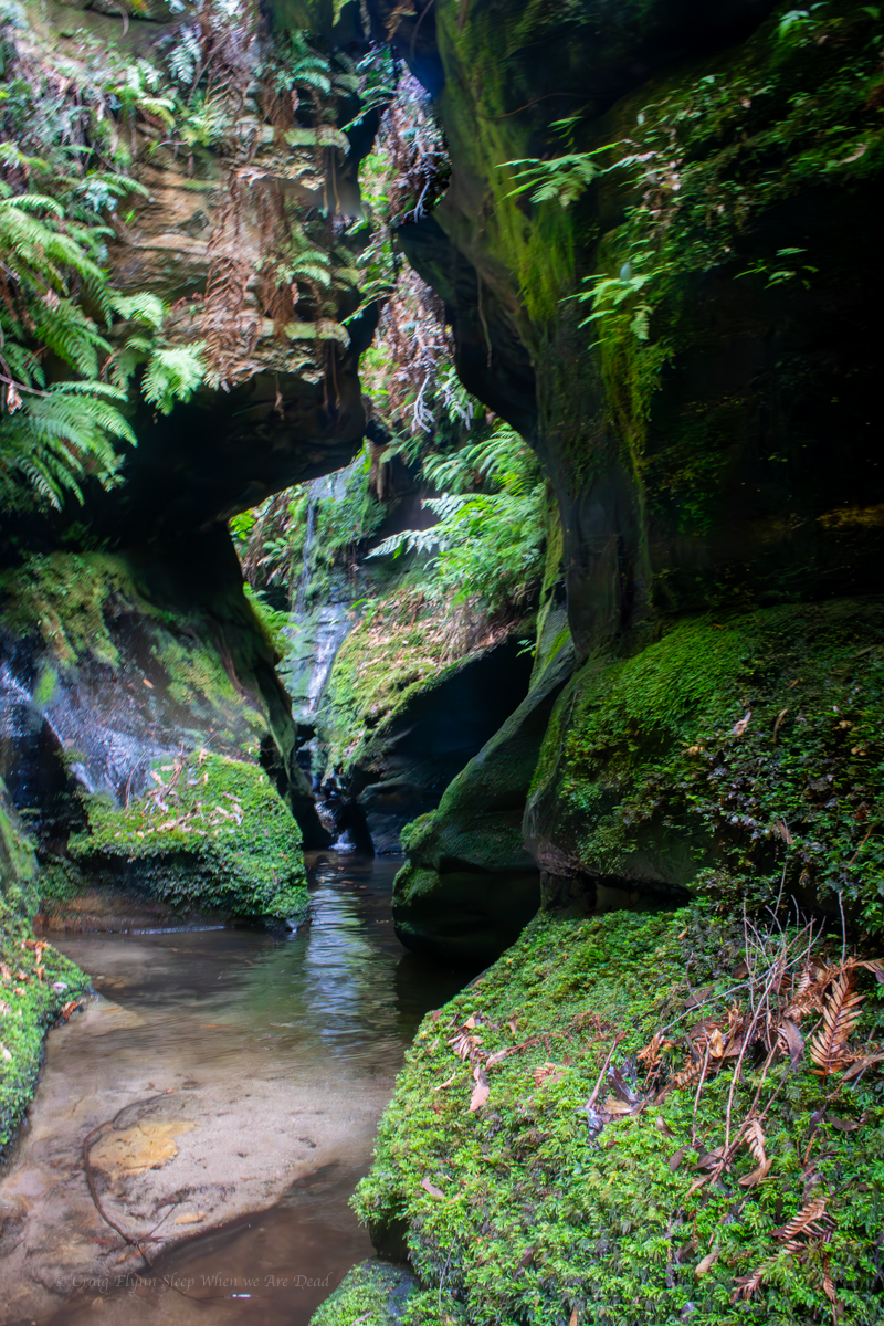
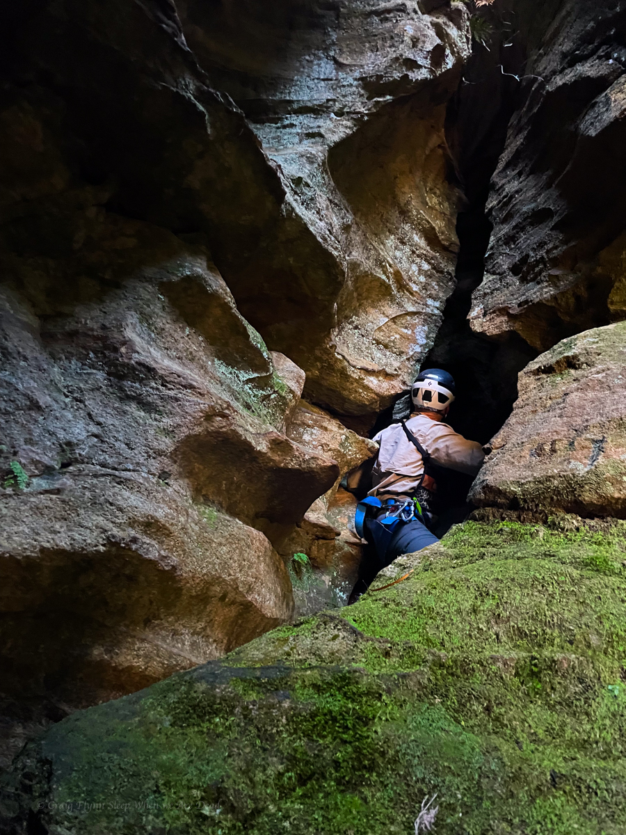
The “canyon” opens back out and a short way down the creek the cliff open as well. There is what looks to be a gentle ridge entering on the left. In hindsight this could be a much better spot to enter. It’s not to far a divert if you want to head up stream to bask in the glory of the upper section and it would miss a 1km of creek bashing.
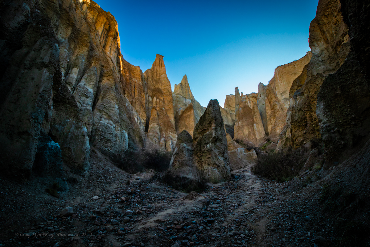
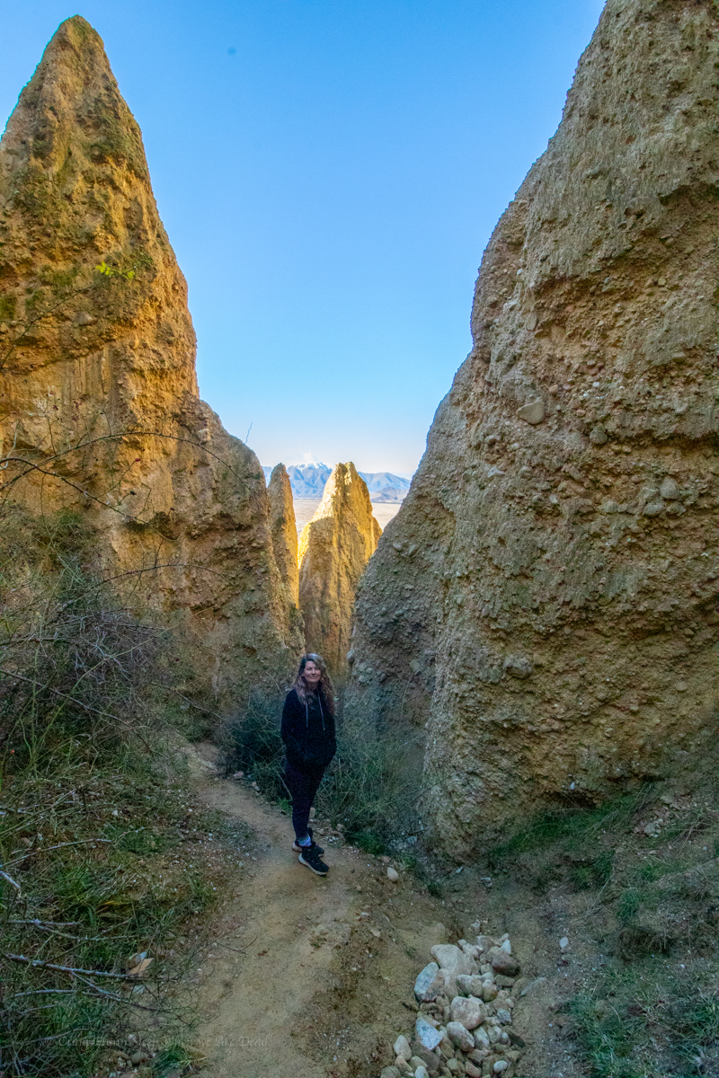
We all know I have a rep for horrendous scrub bashes to canyons of questionable quality but up until now even I was wondering if this one was going to be worth it.
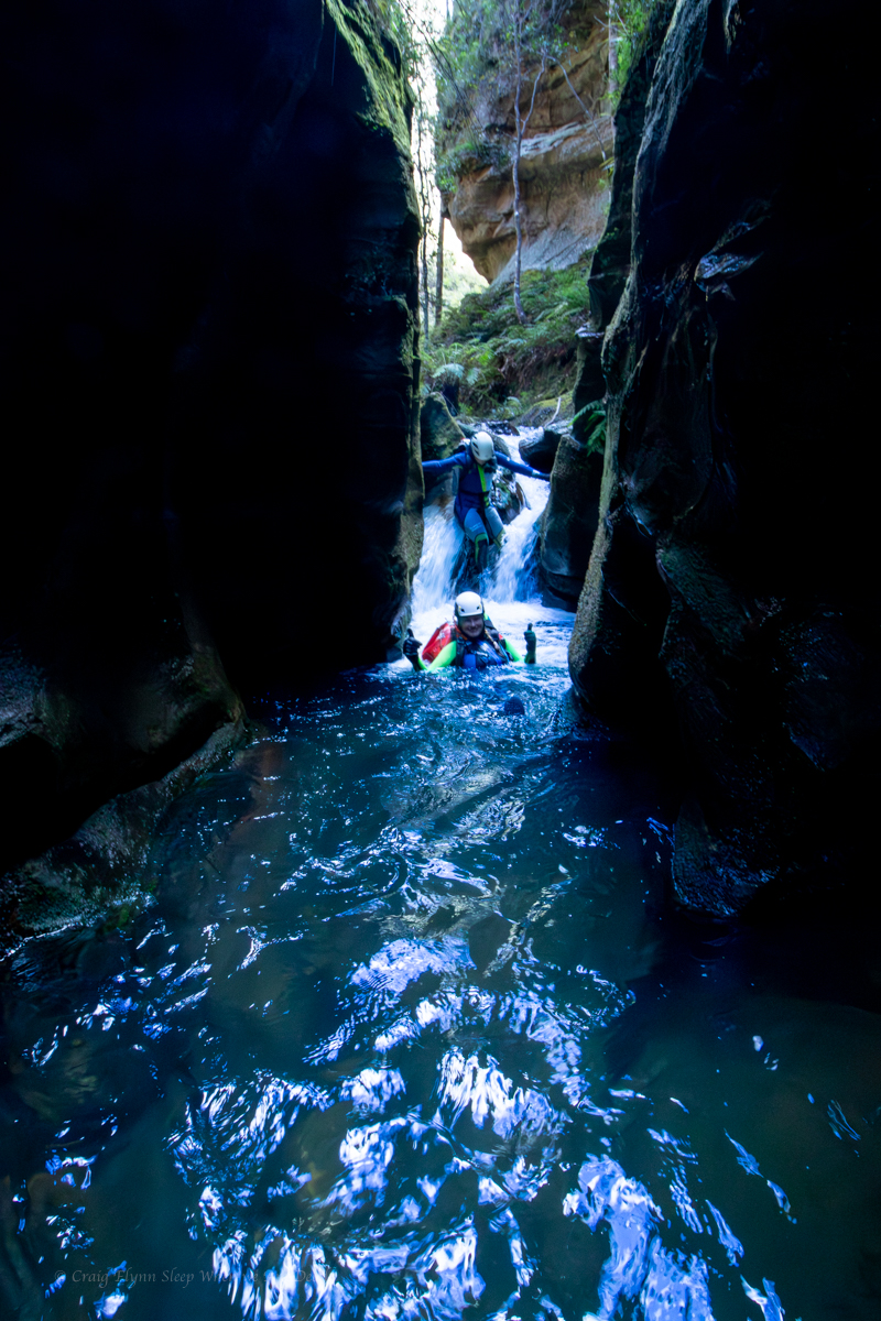
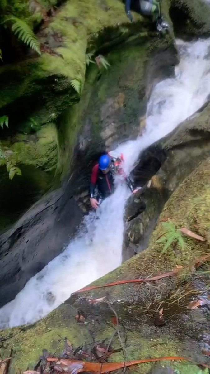
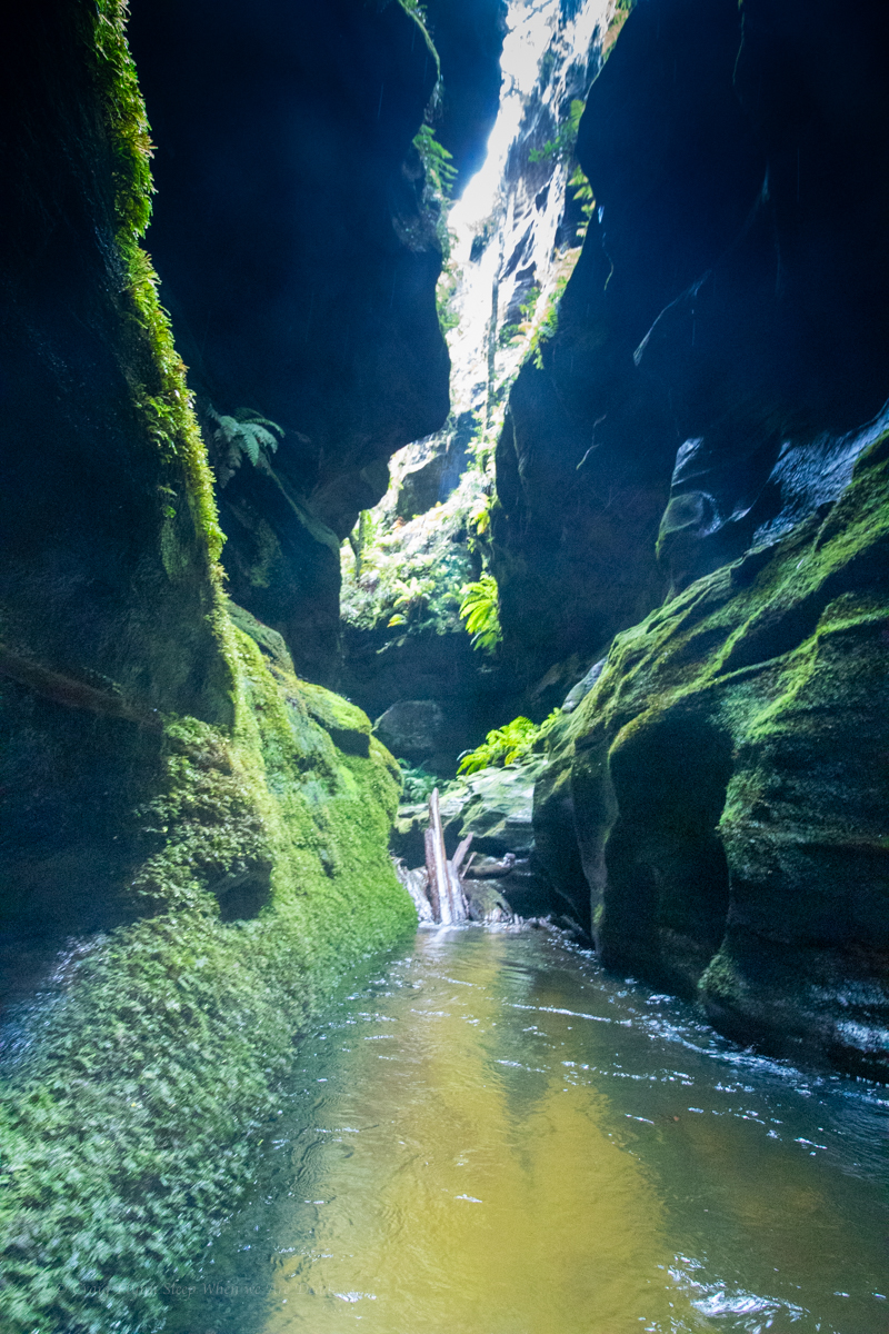
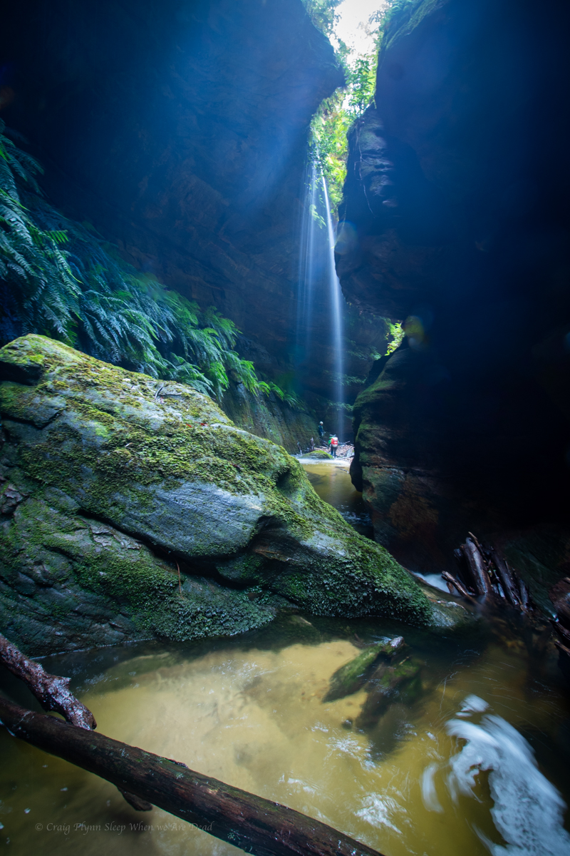
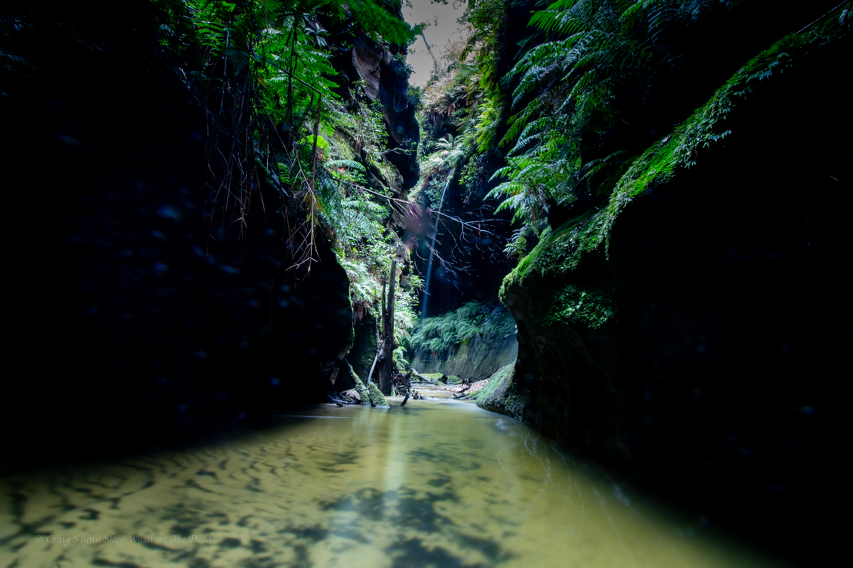
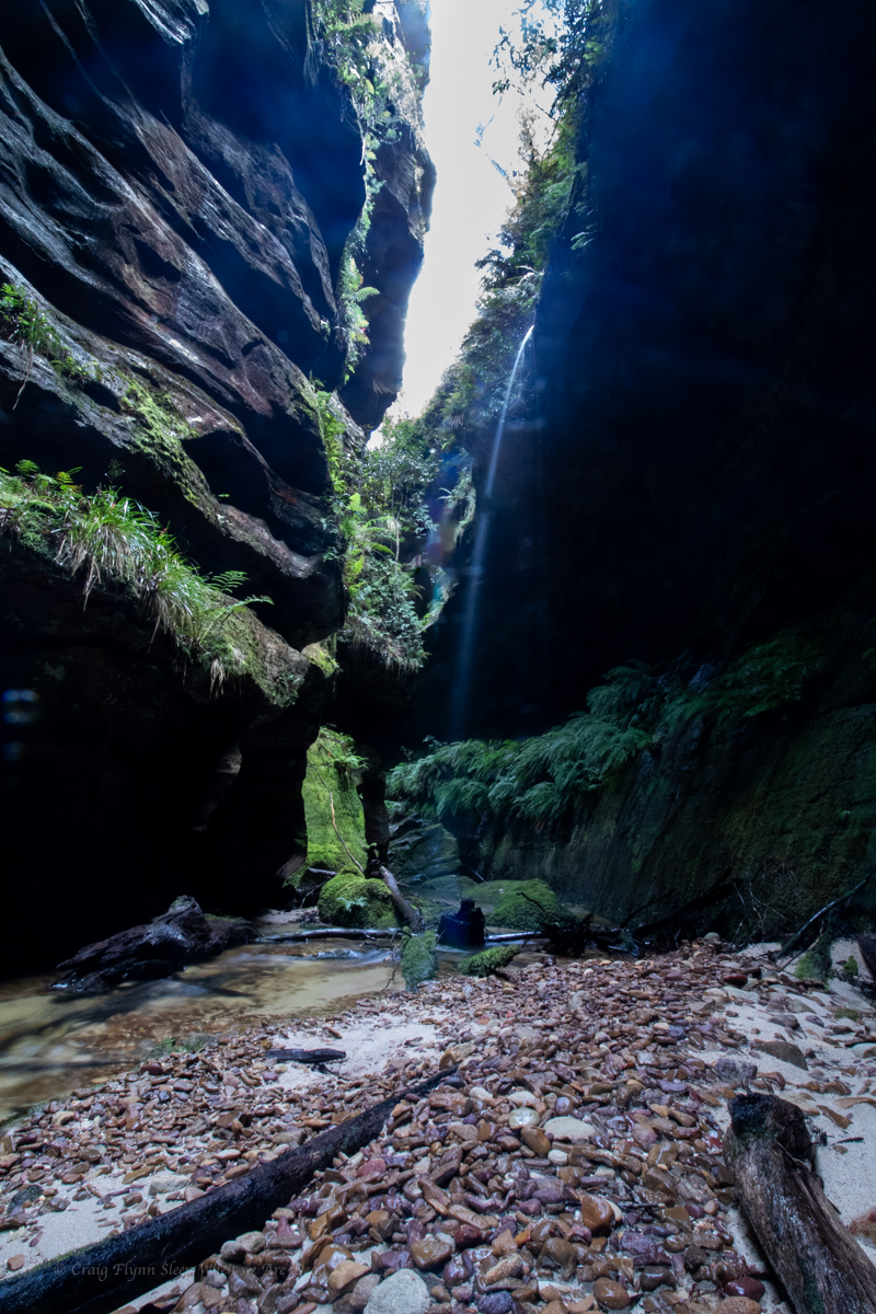
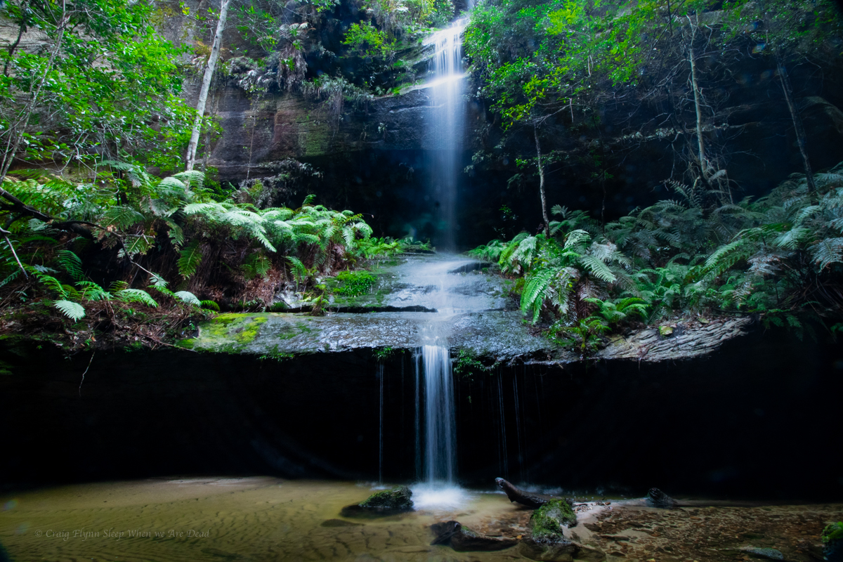
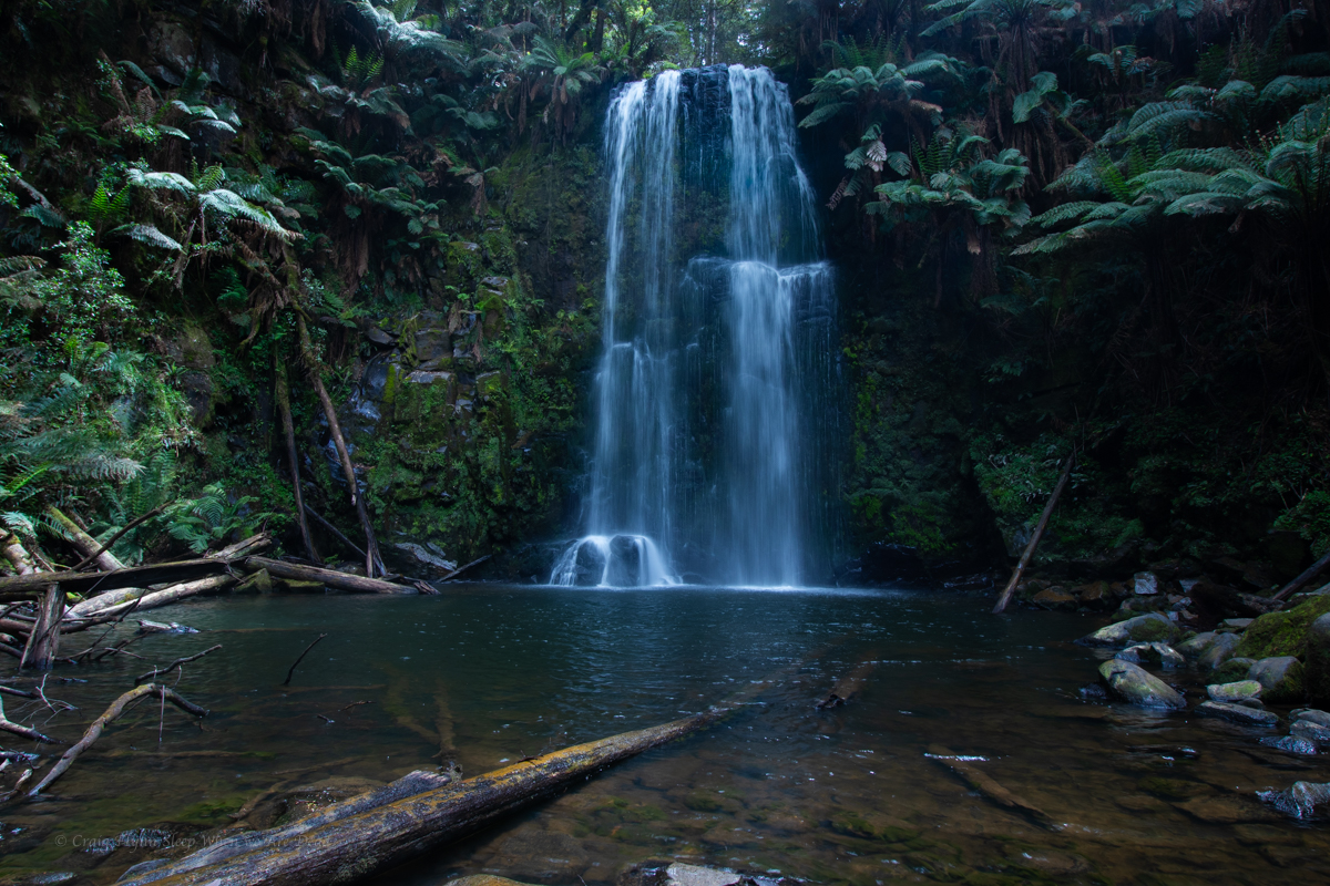
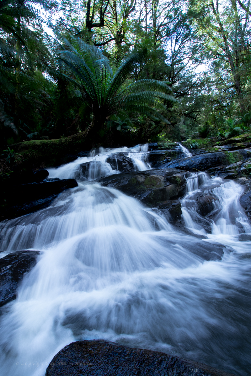
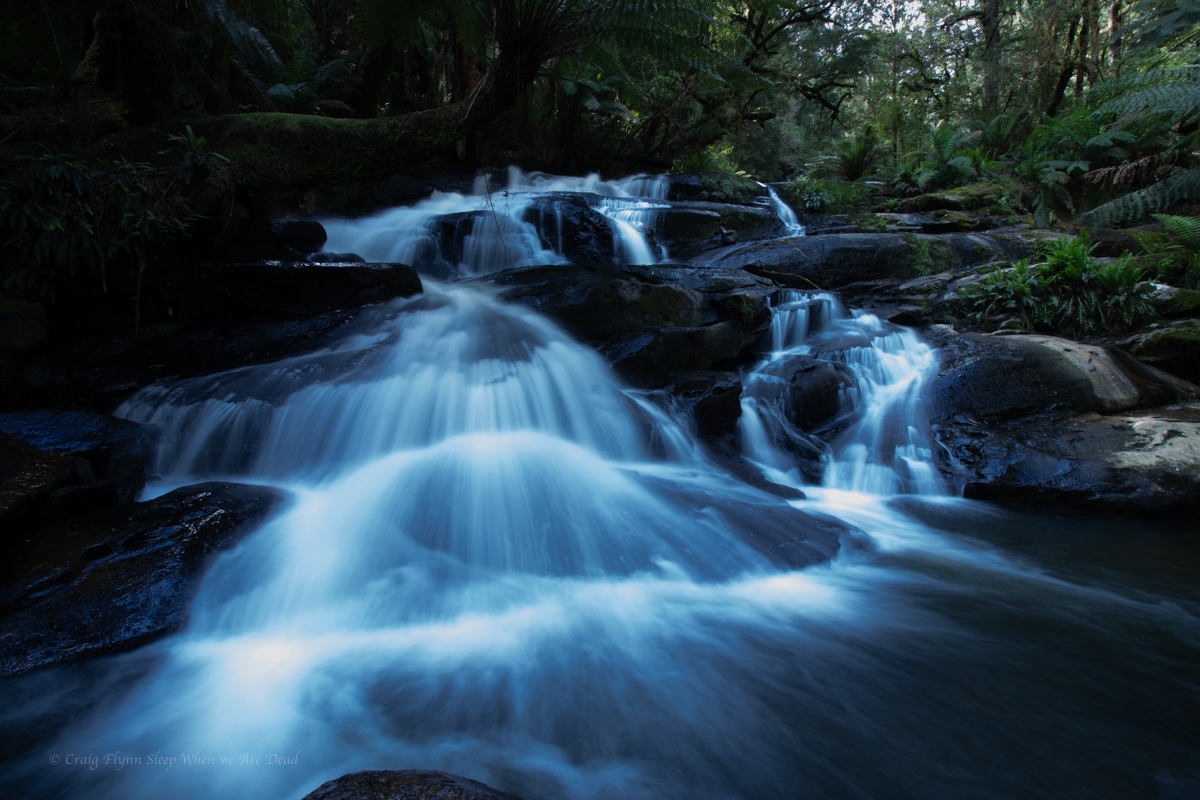
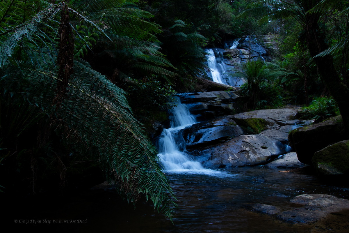
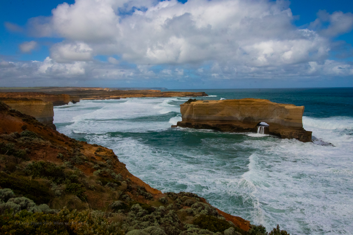
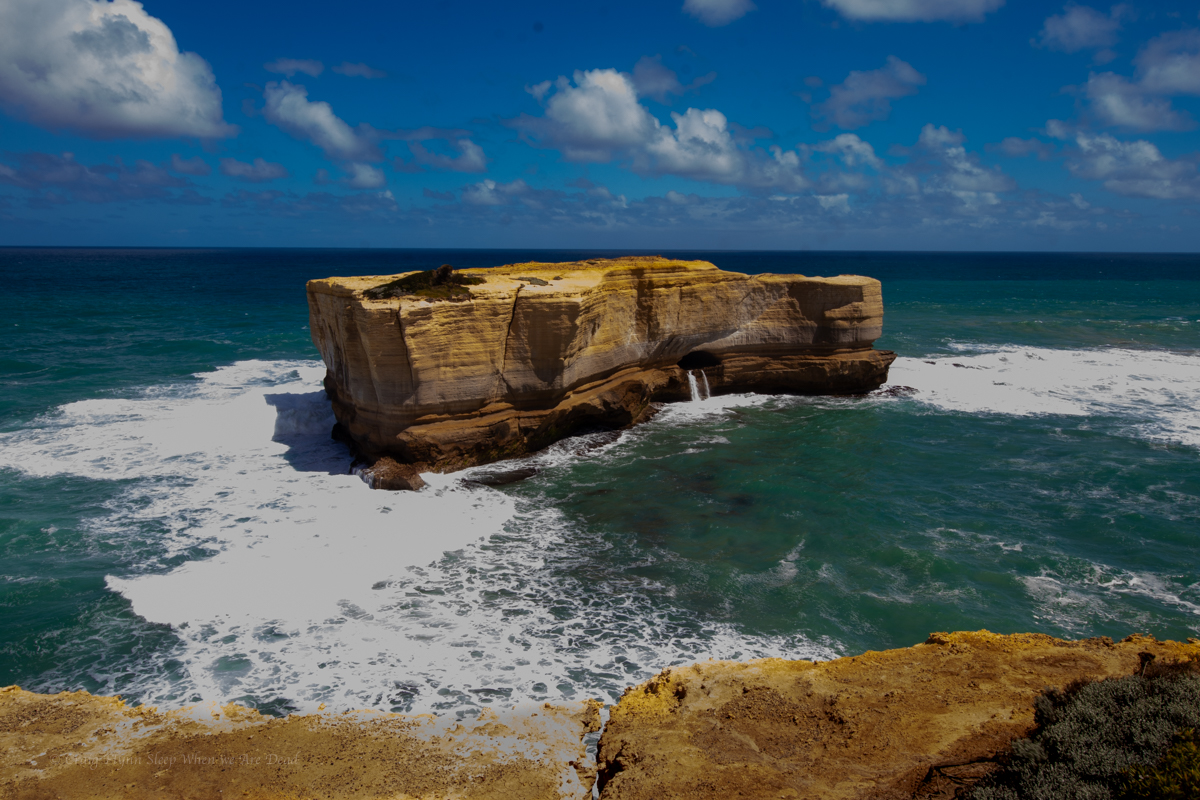
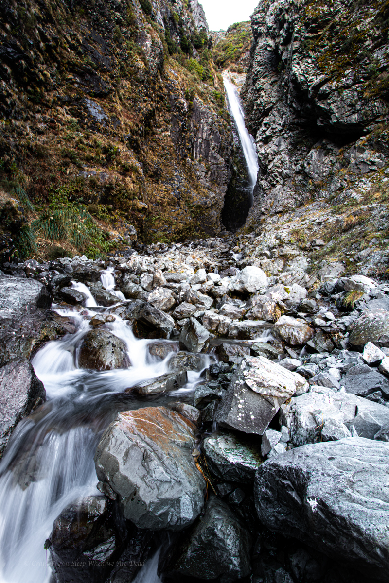
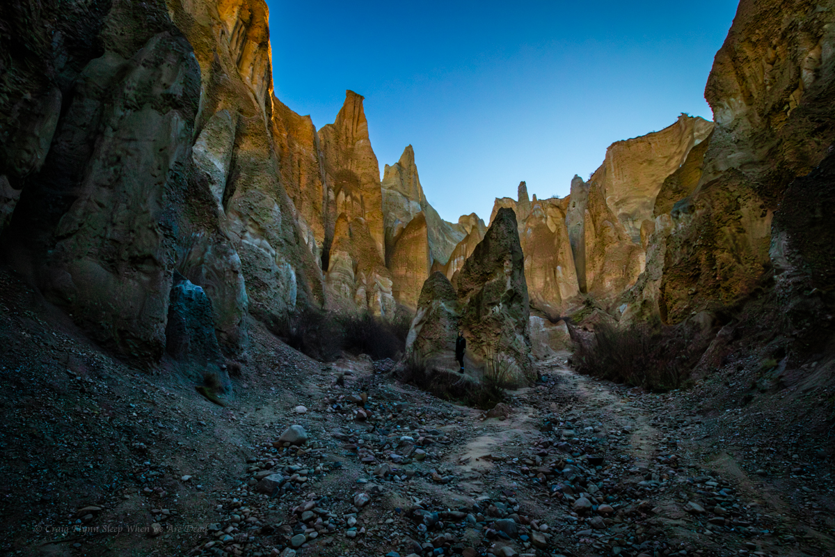
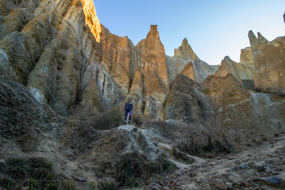
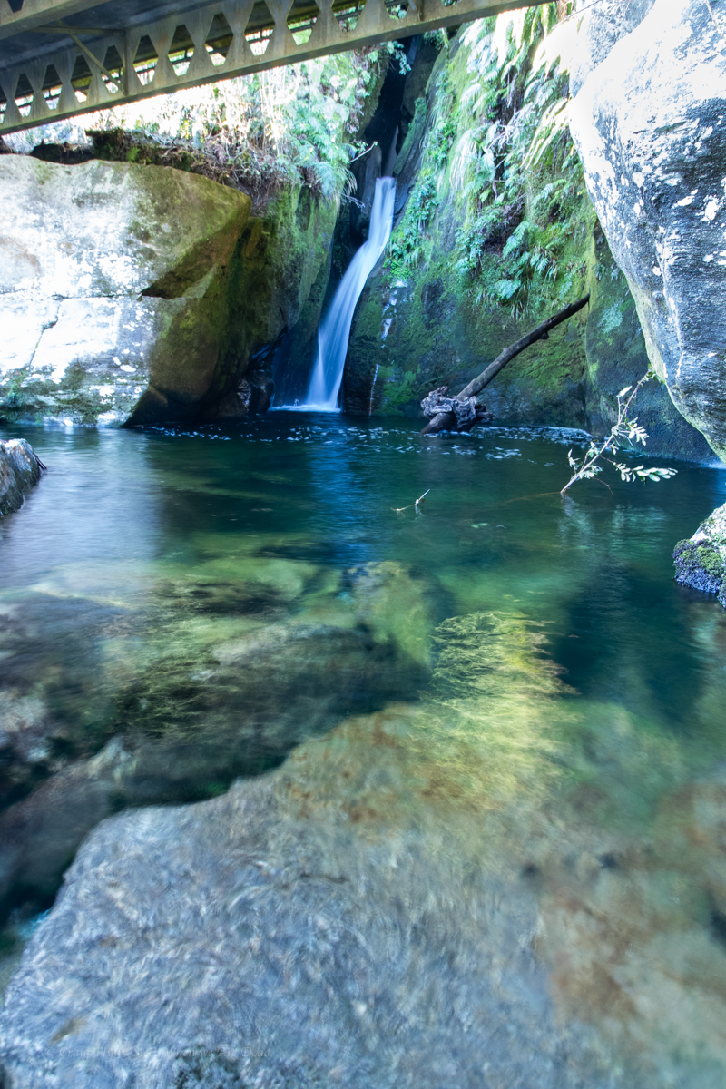
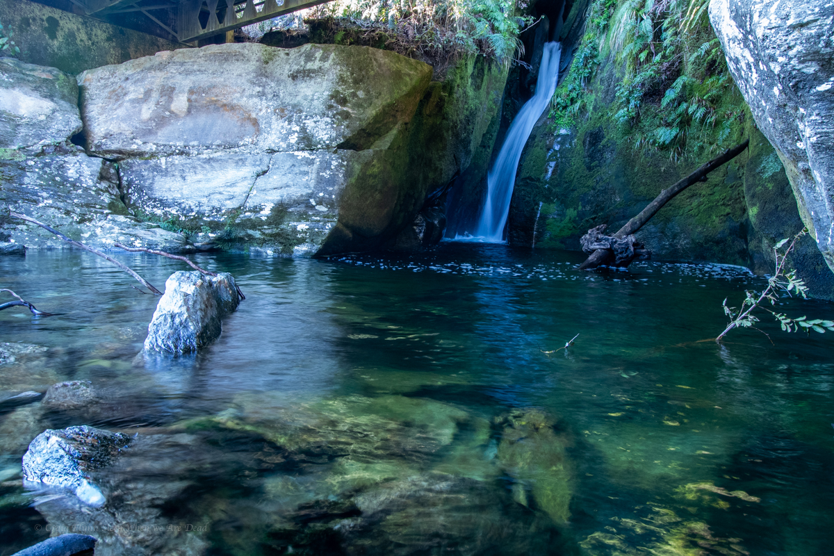
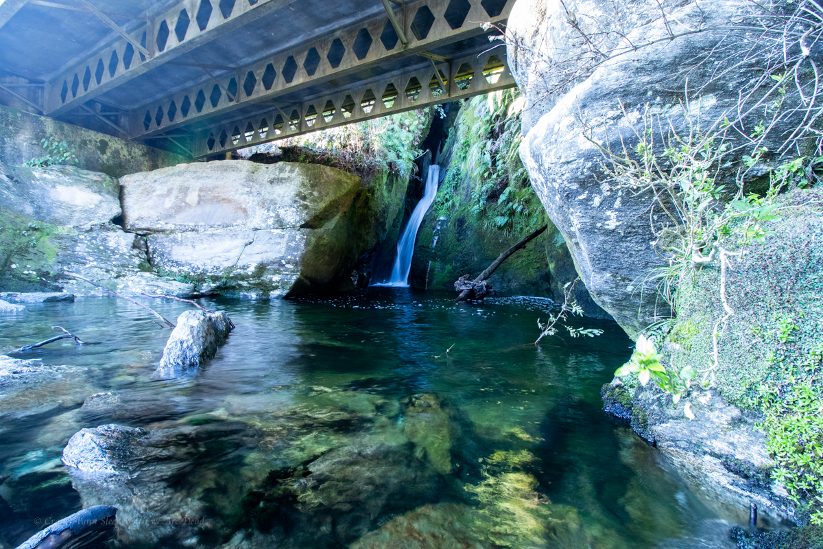
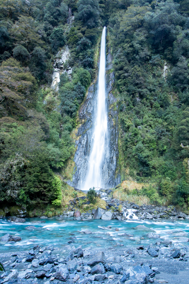
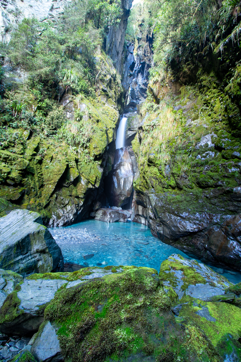
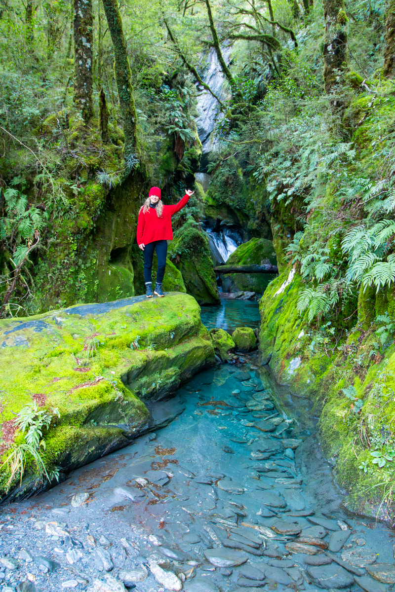
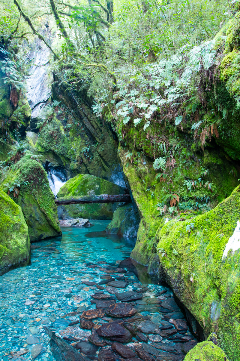
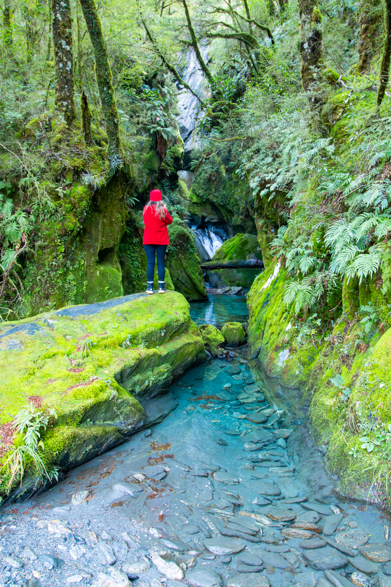
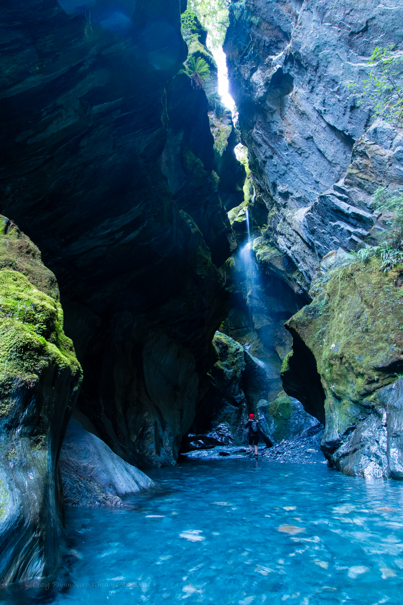
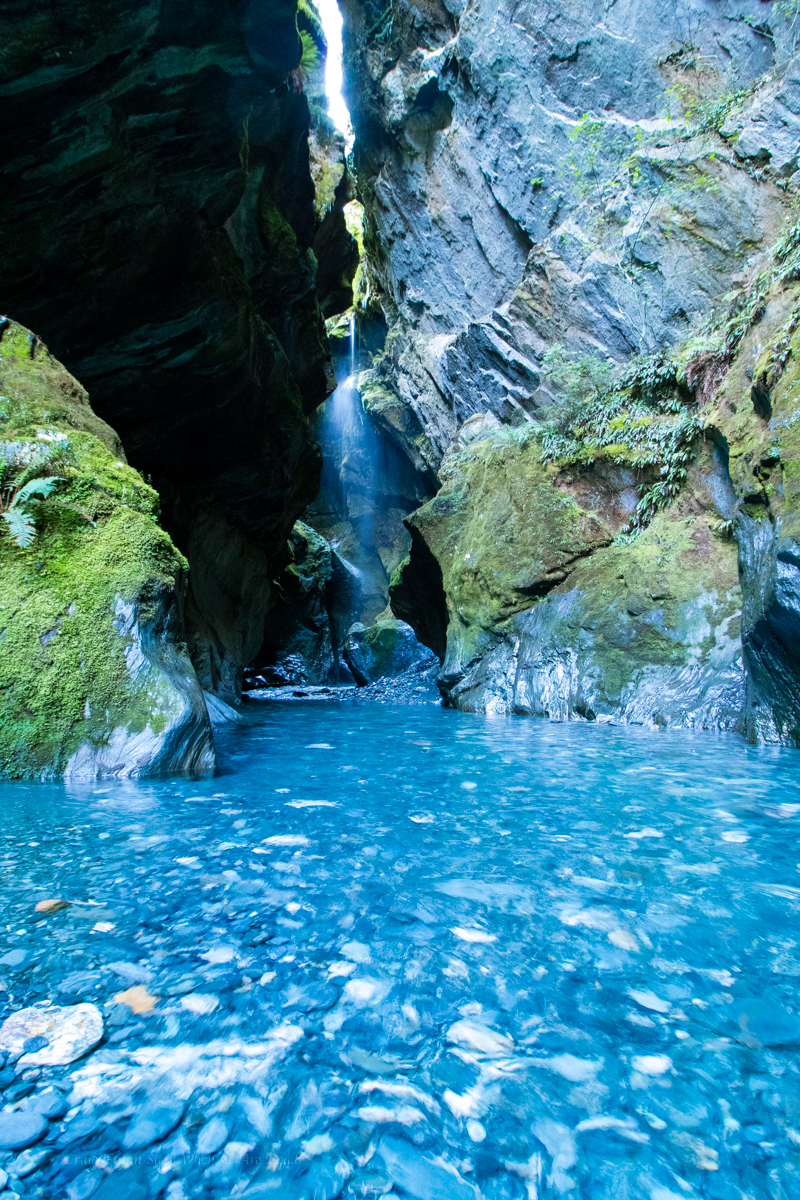
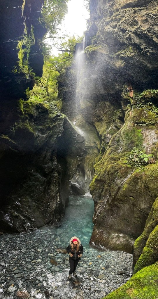
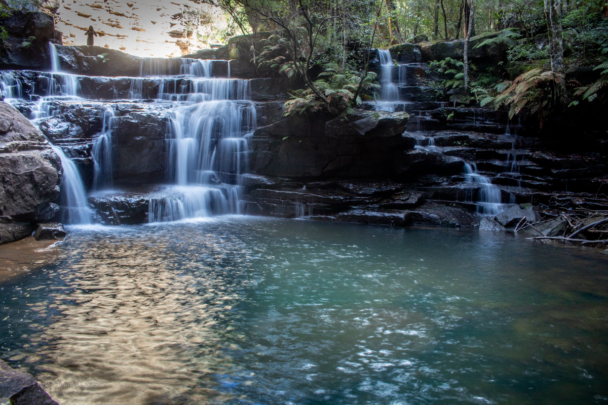
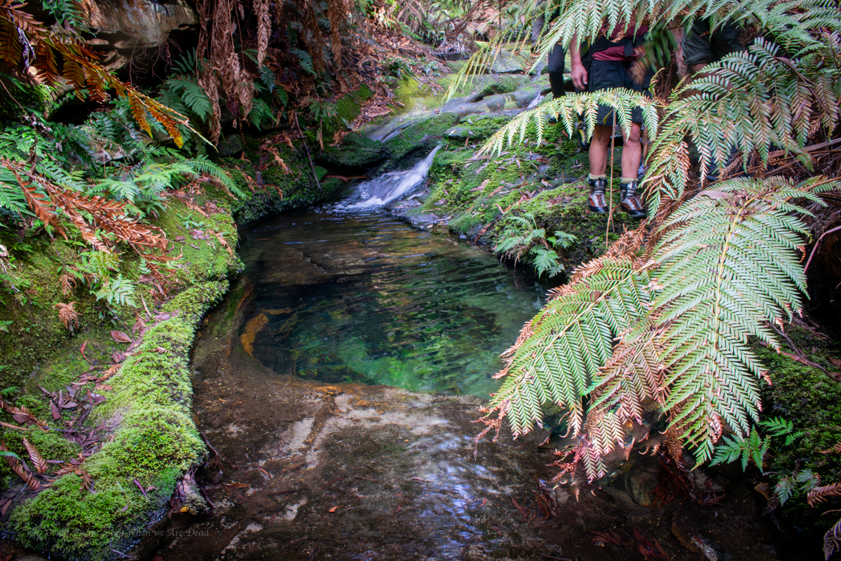
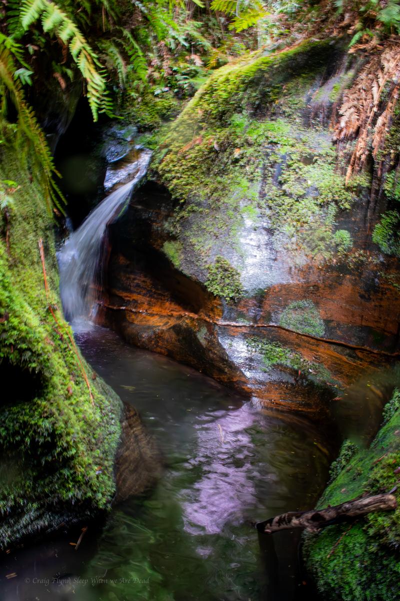
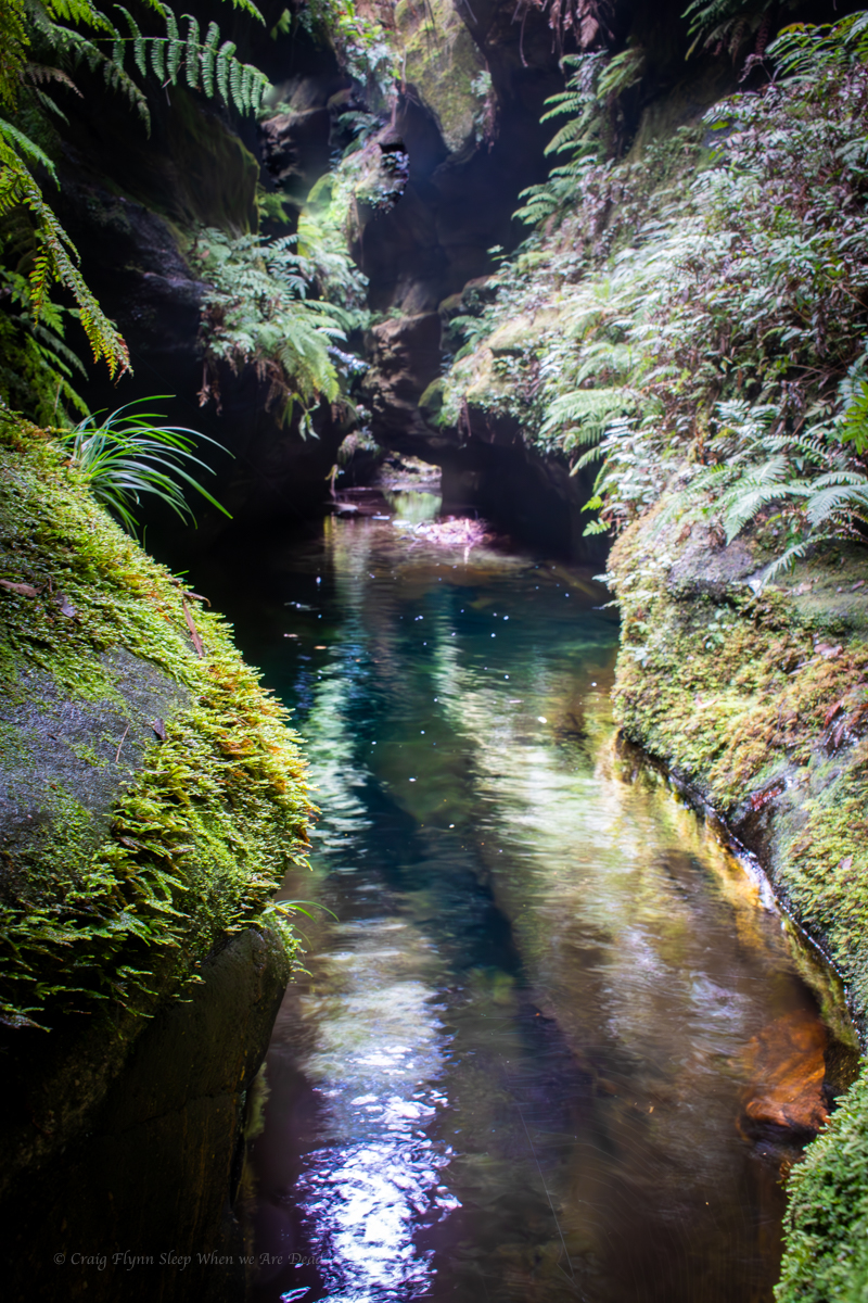
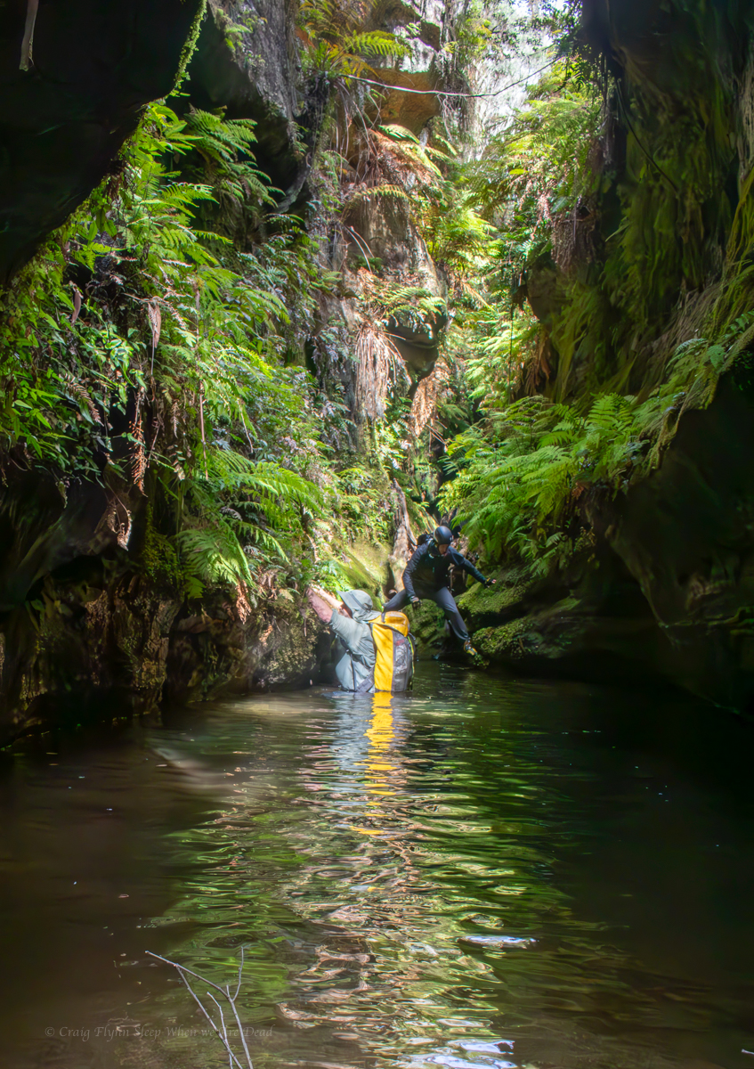
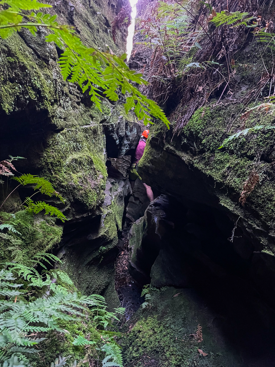
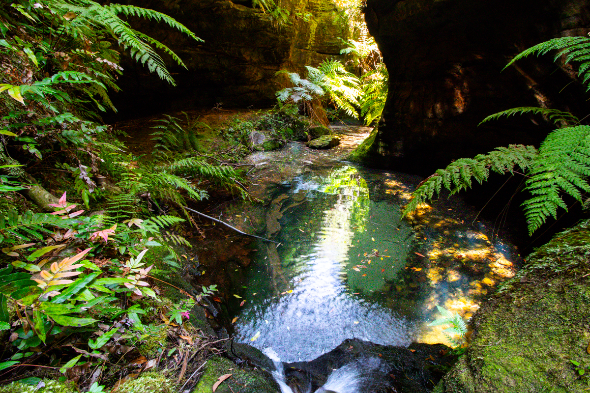
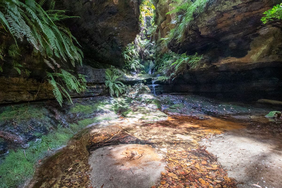
Just downstream the bottom bit makes up for it.
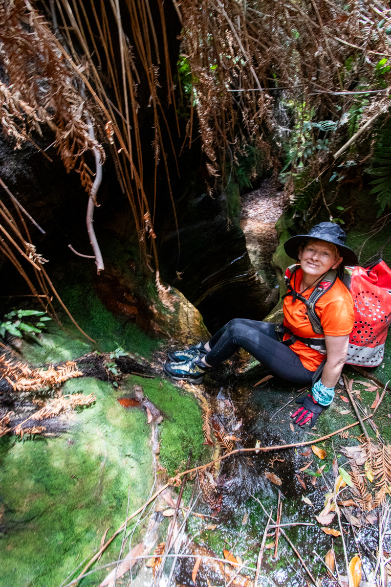
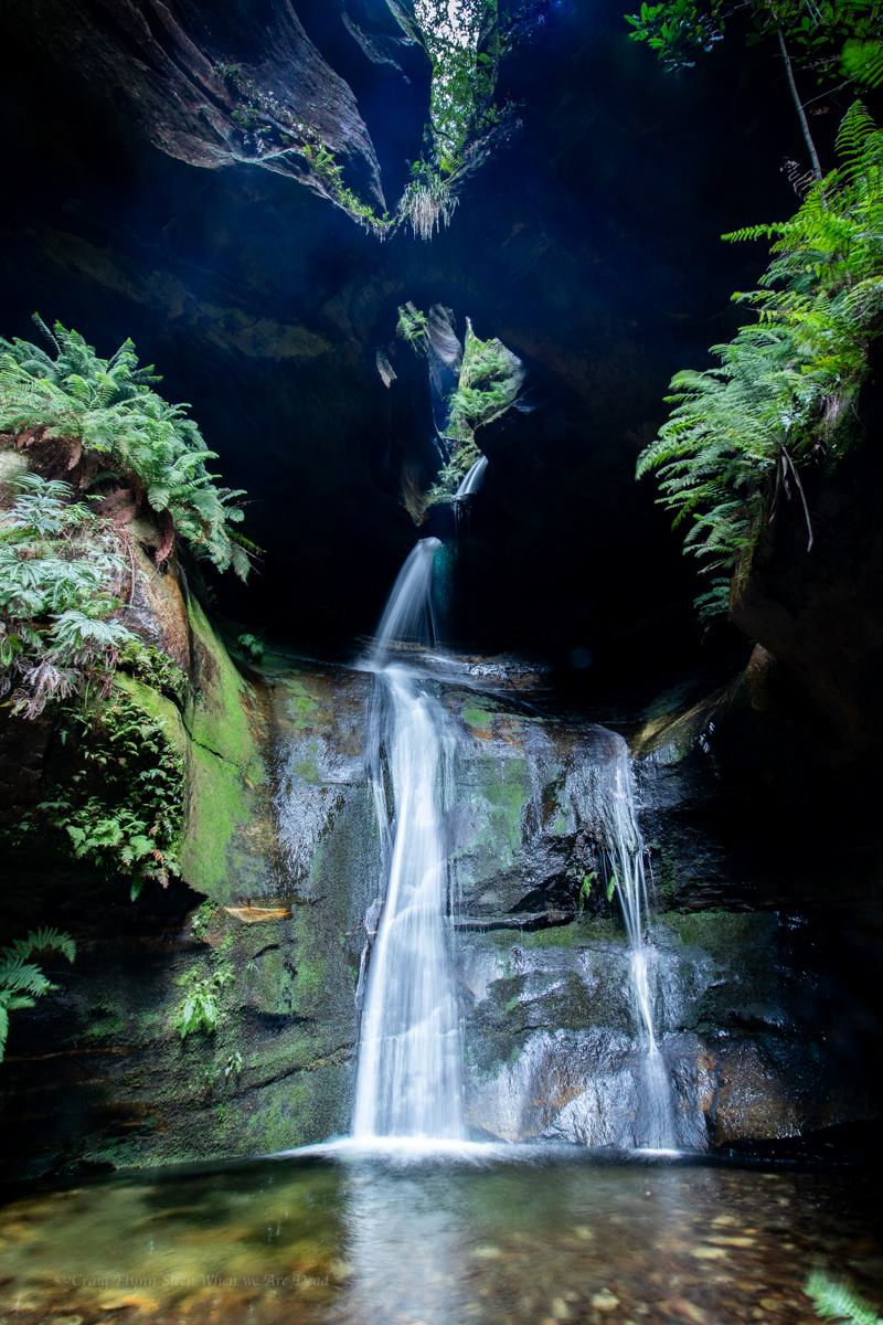
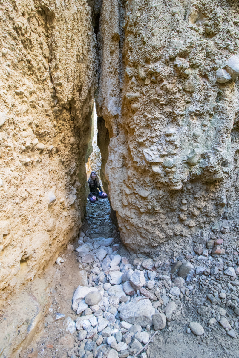
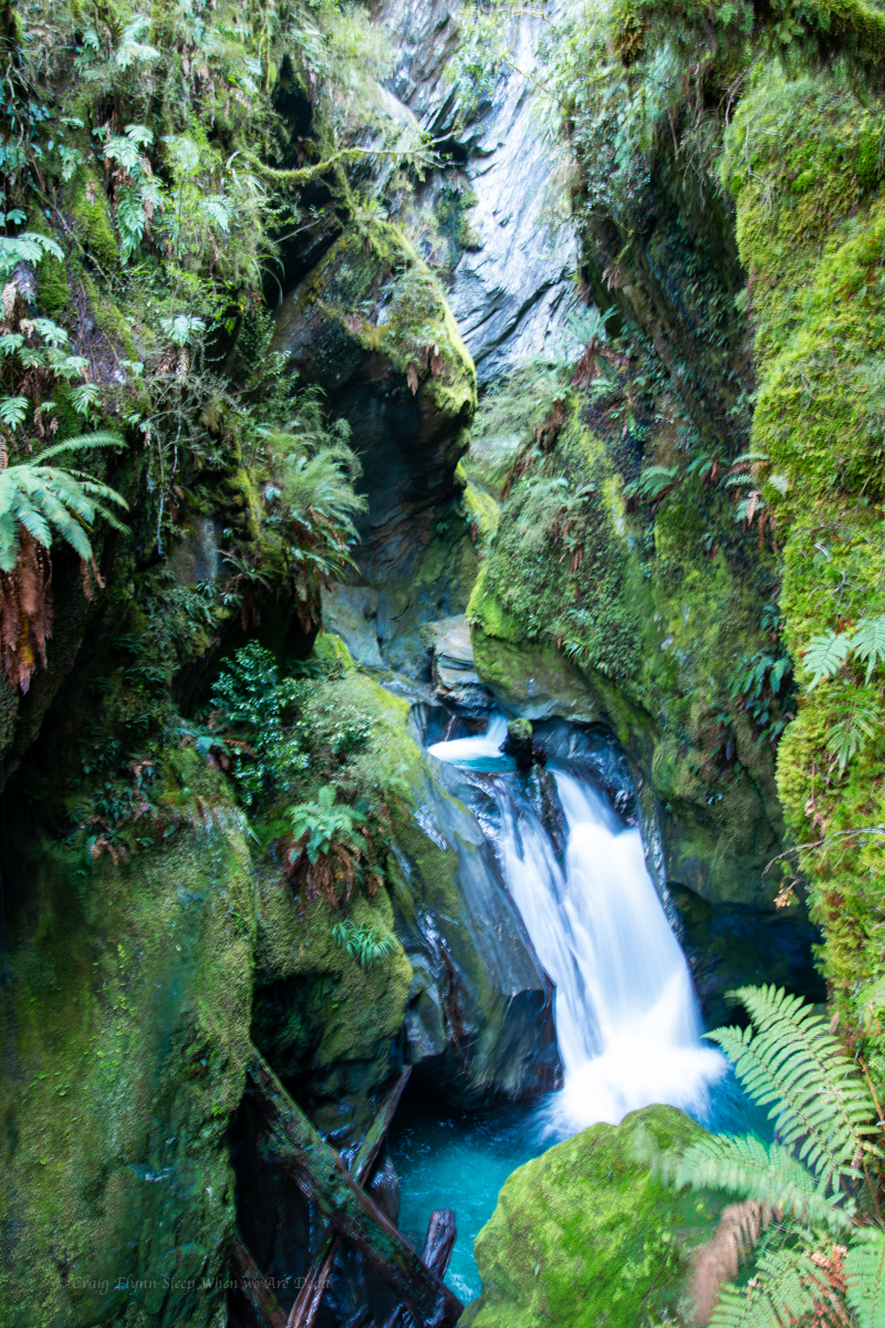
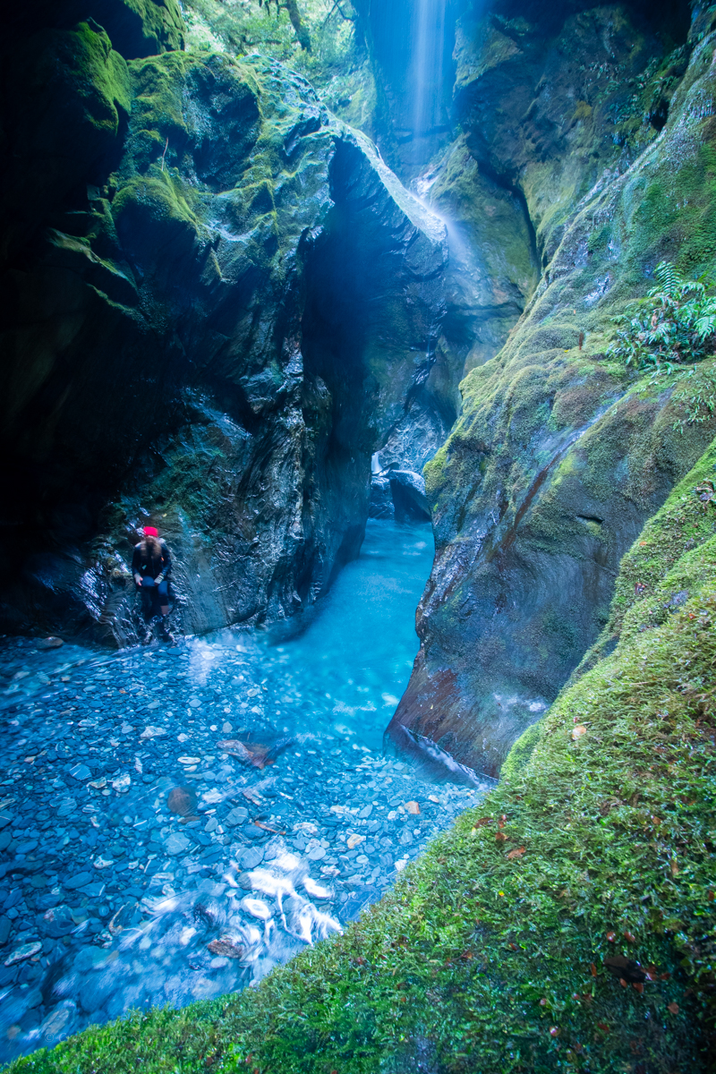
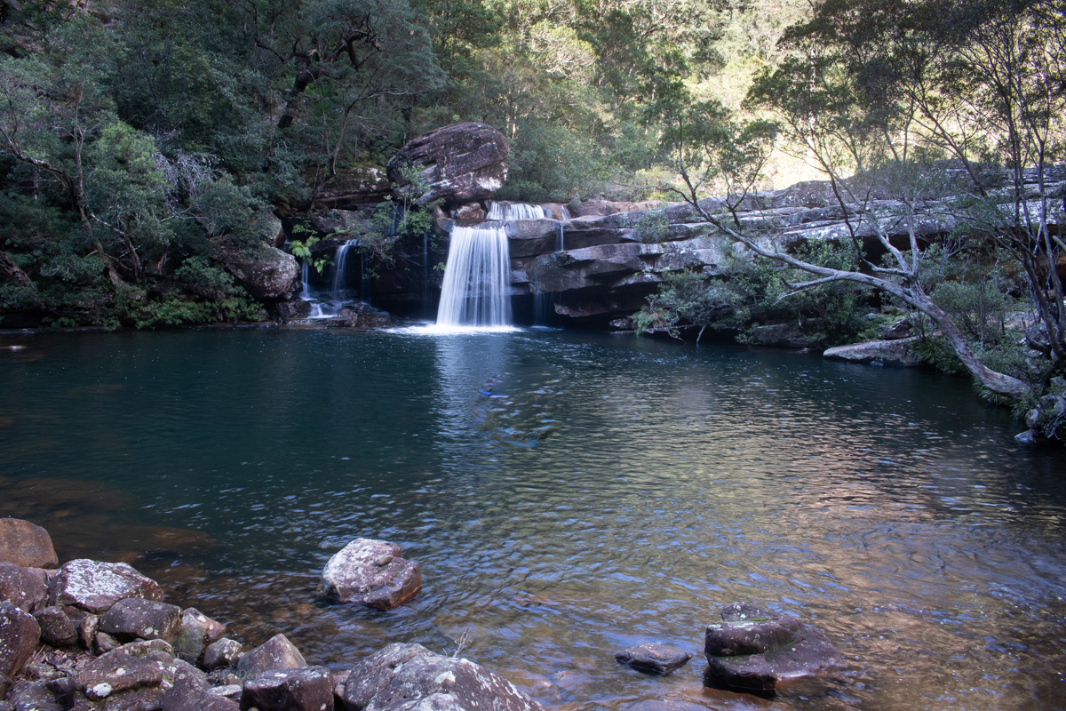
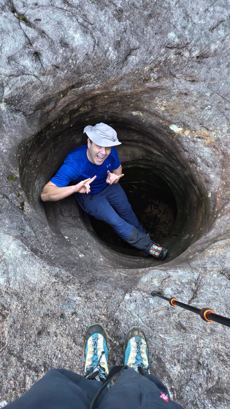
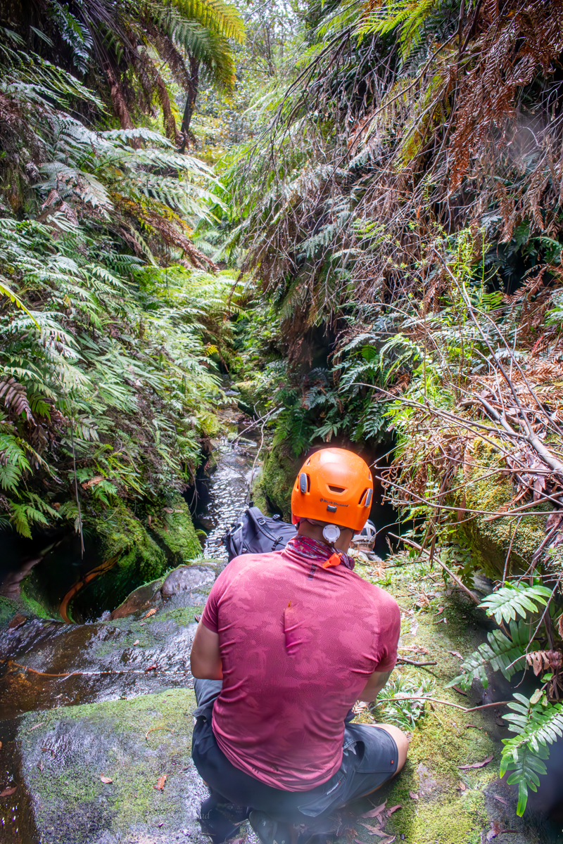
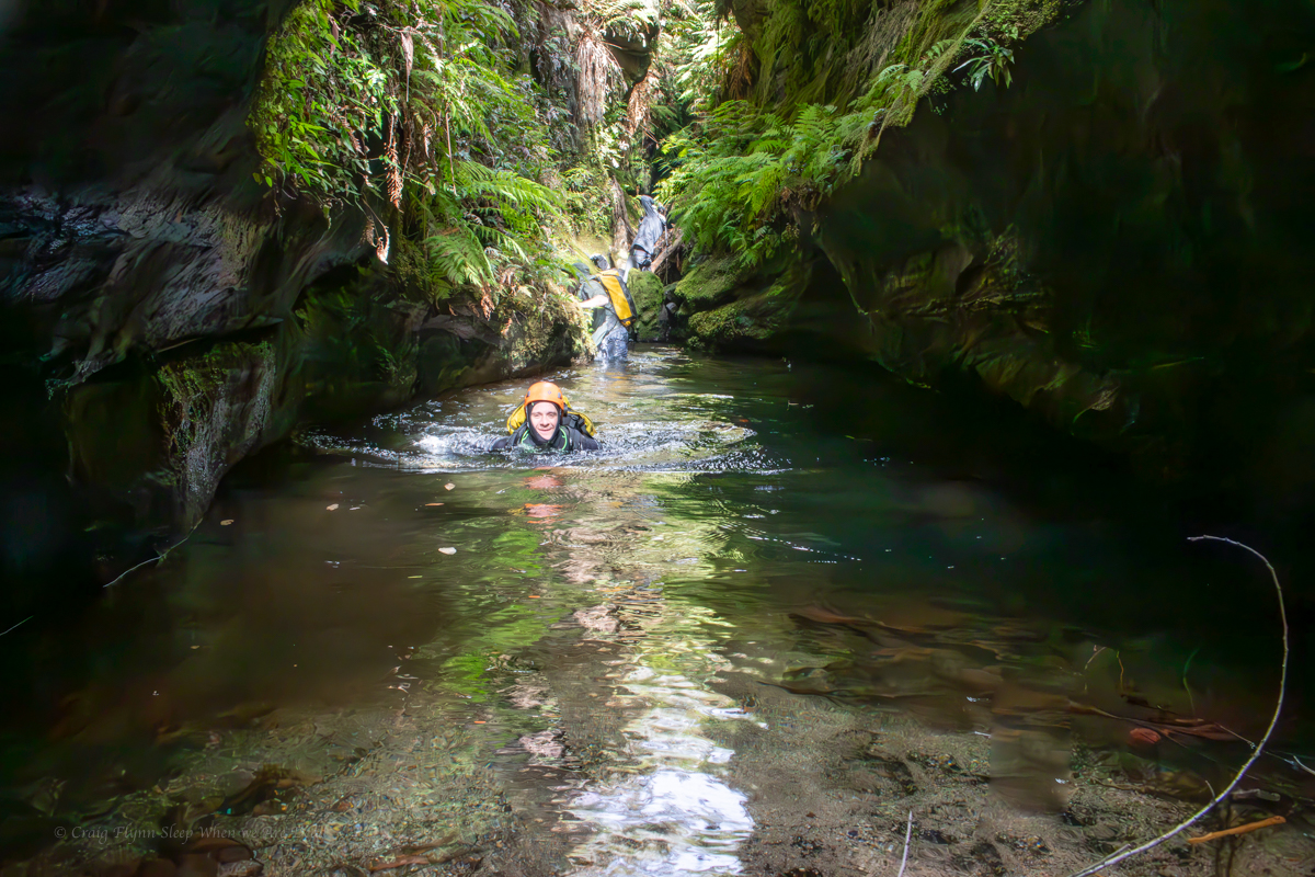
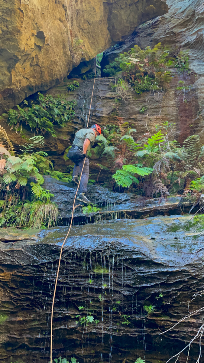
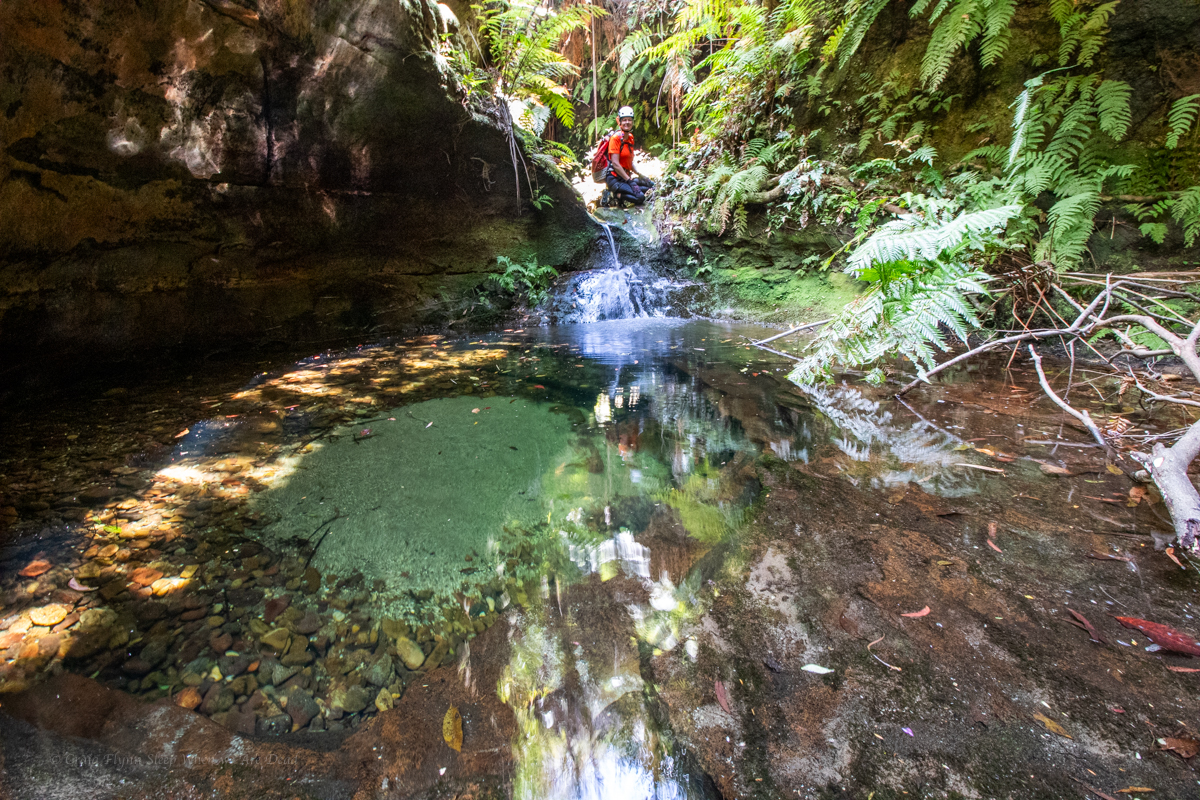
There is a couple of ways to get out of the pothole. 1. Scramble out over the lip or, 2. duck under and swim through an arch
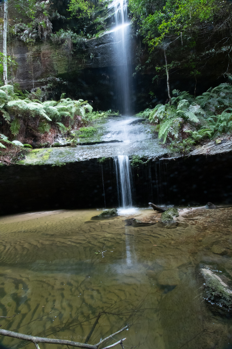
Water levels looks low so scrambling over the slippery walls may prove difficult and we couldn’t see if the tight duck under was clear so we opted to by pass over the top and abseil in the side.
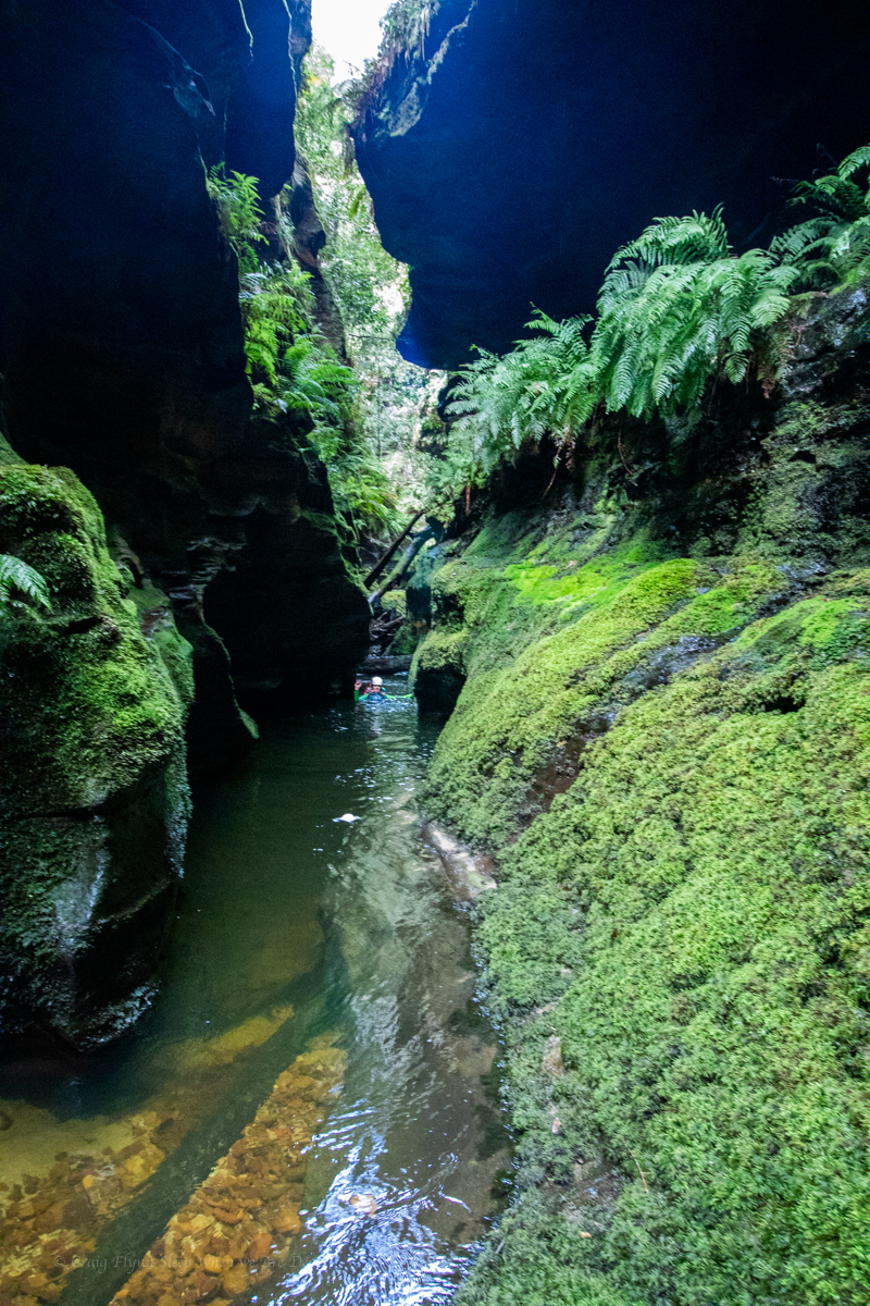
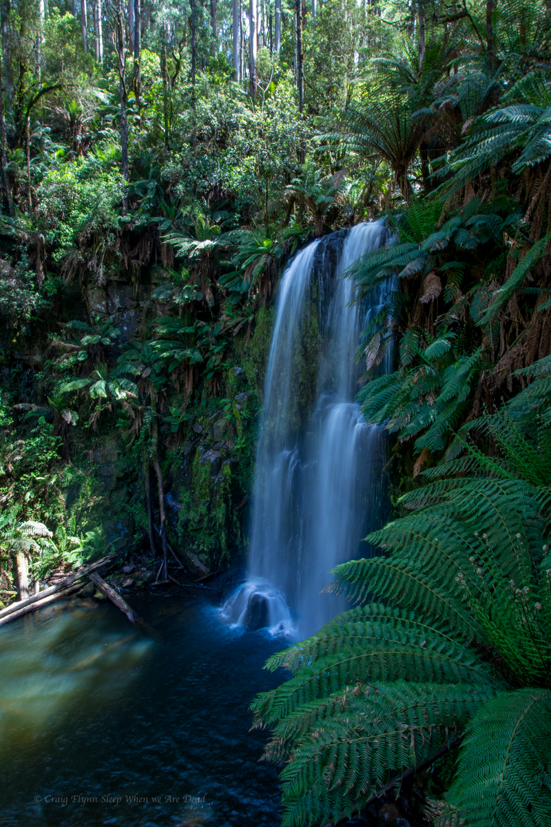
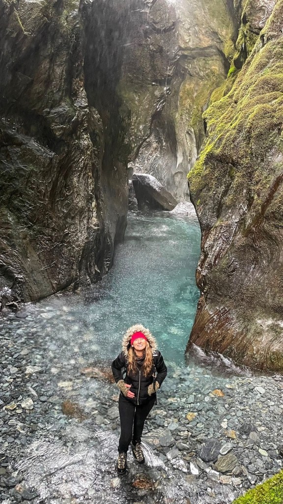
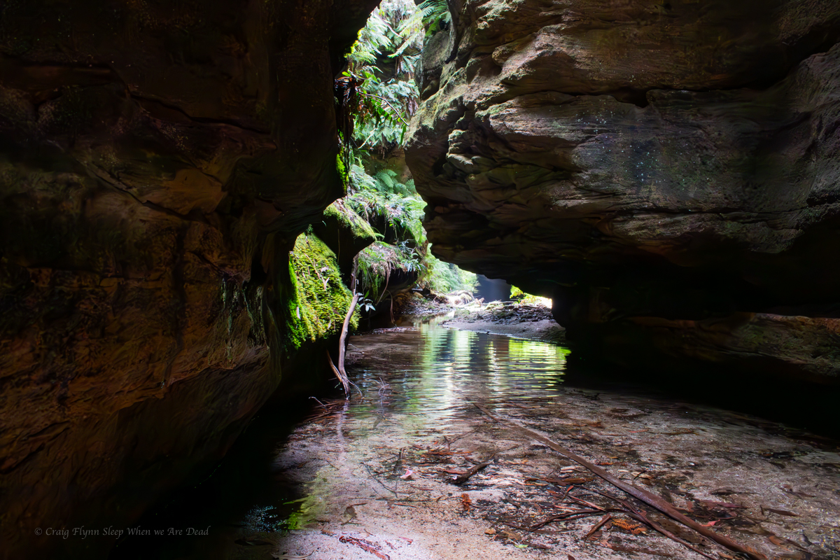
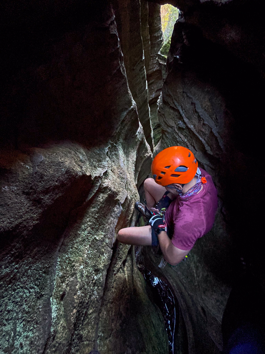
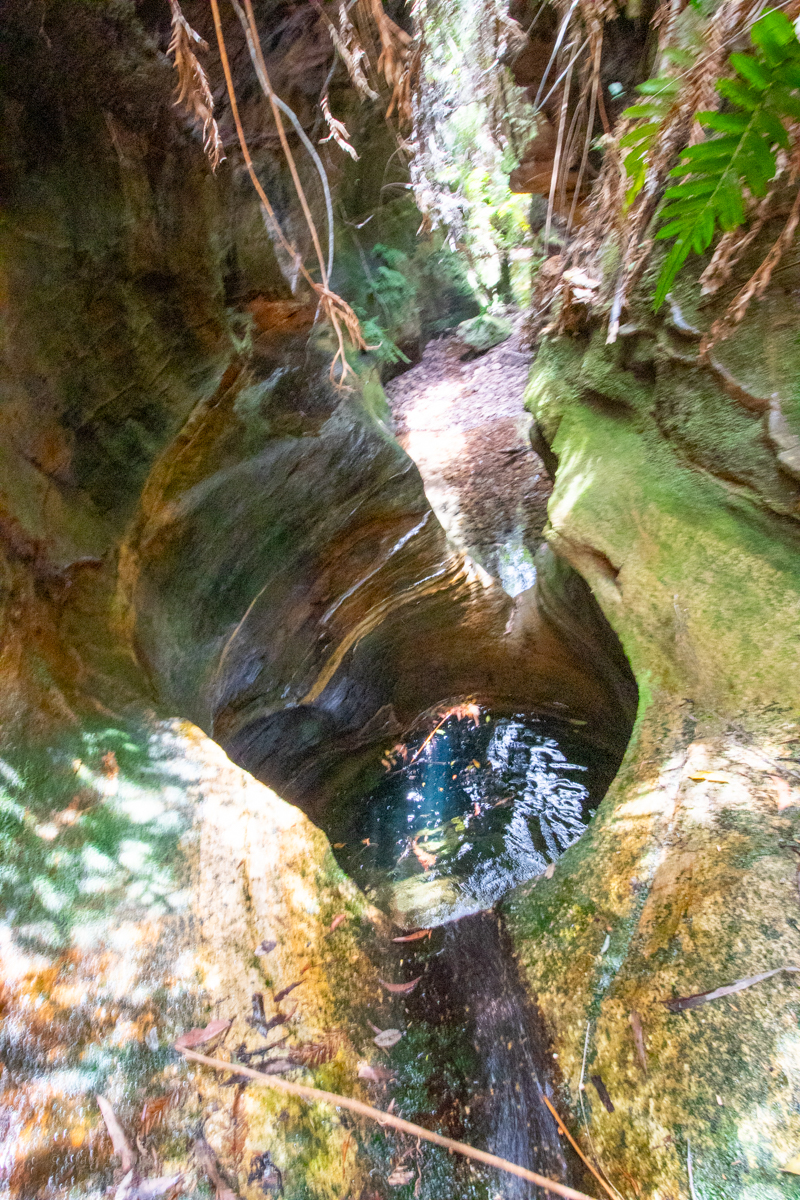
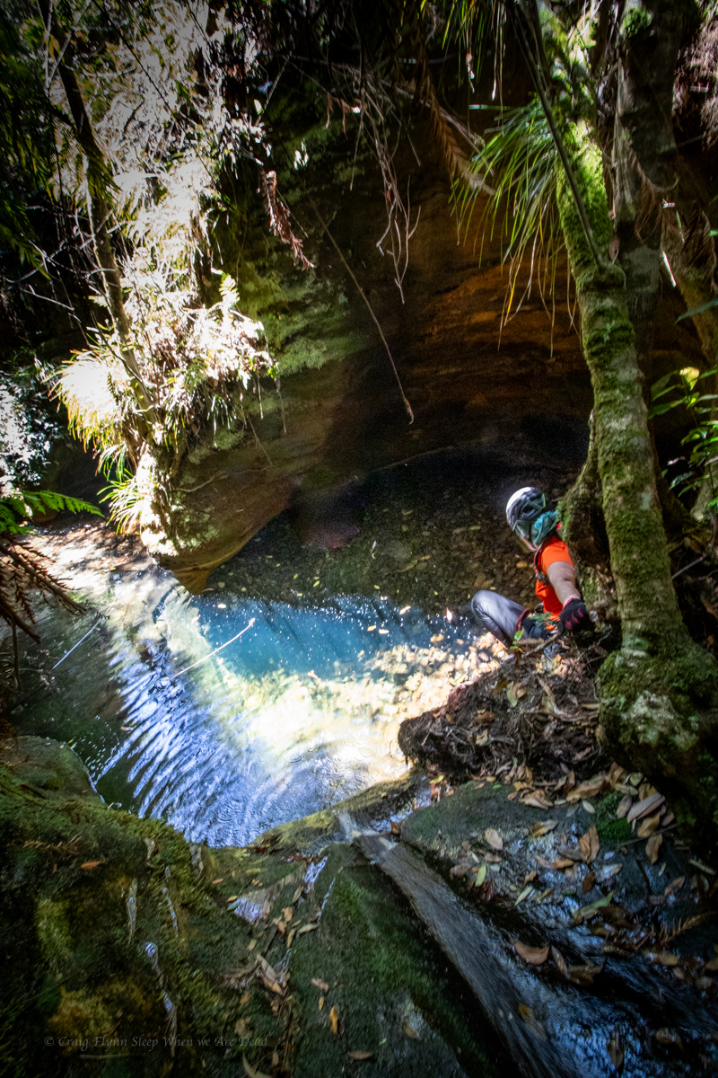
Once down I thought I’d try the duck under. It’s a bit deep to be called a “Duck Under” it’s a full on swim under and it’s silted up making a tight squeeze.
yes I chickened out. Got my head under the arch and thought screw that for fun
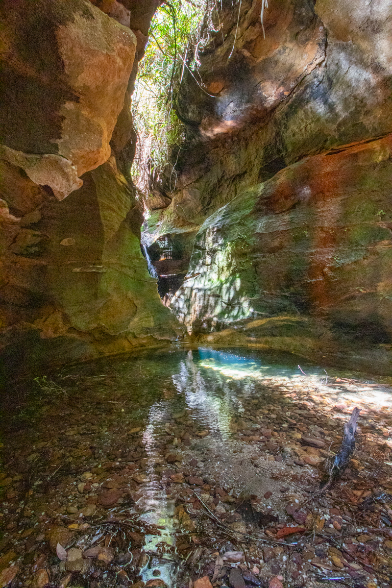
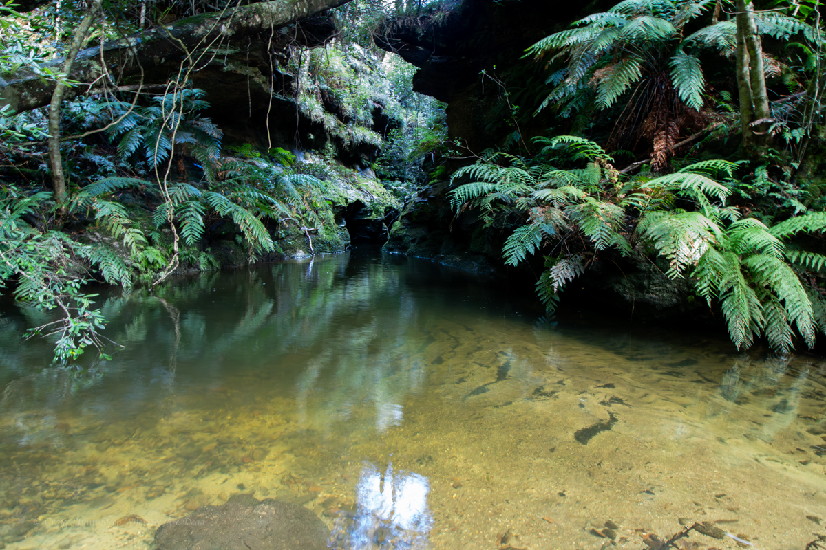
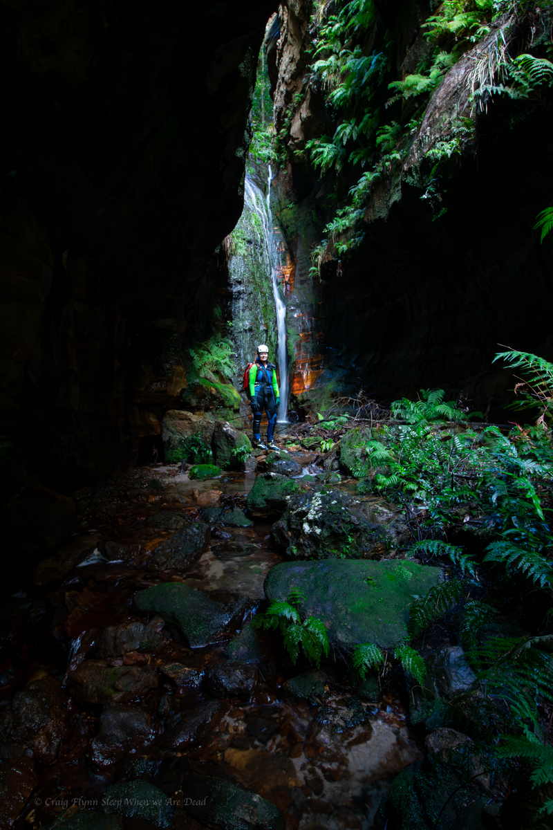
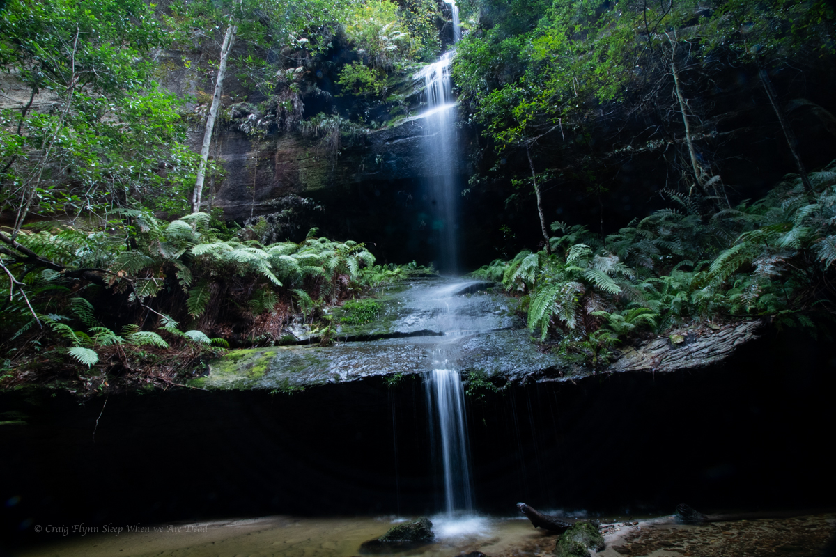
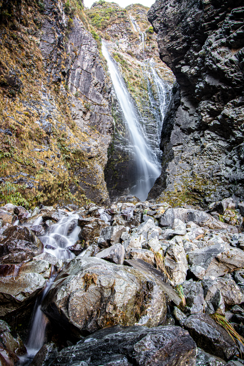
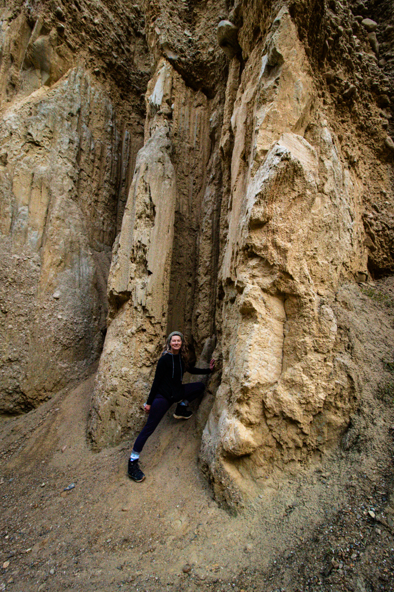
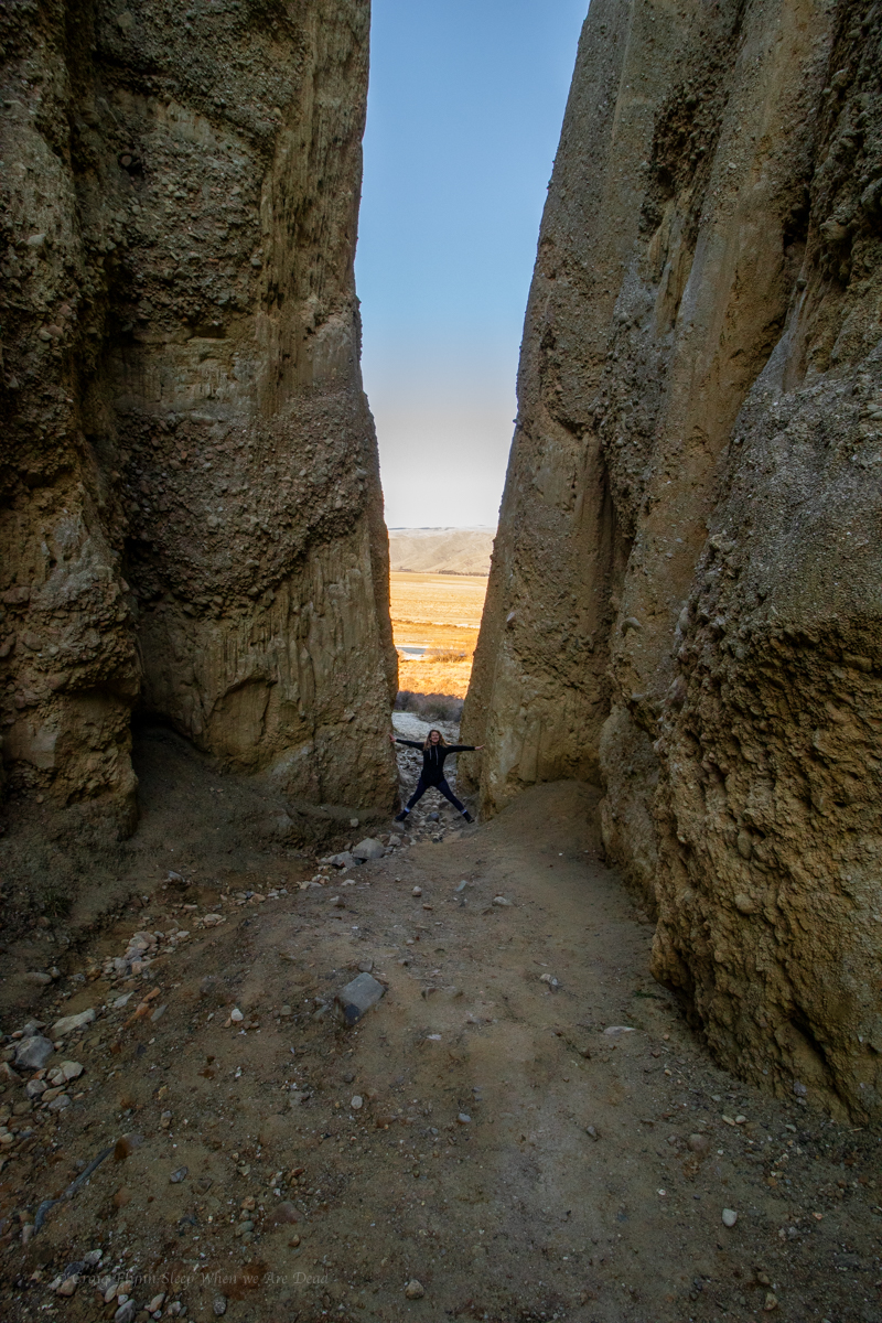
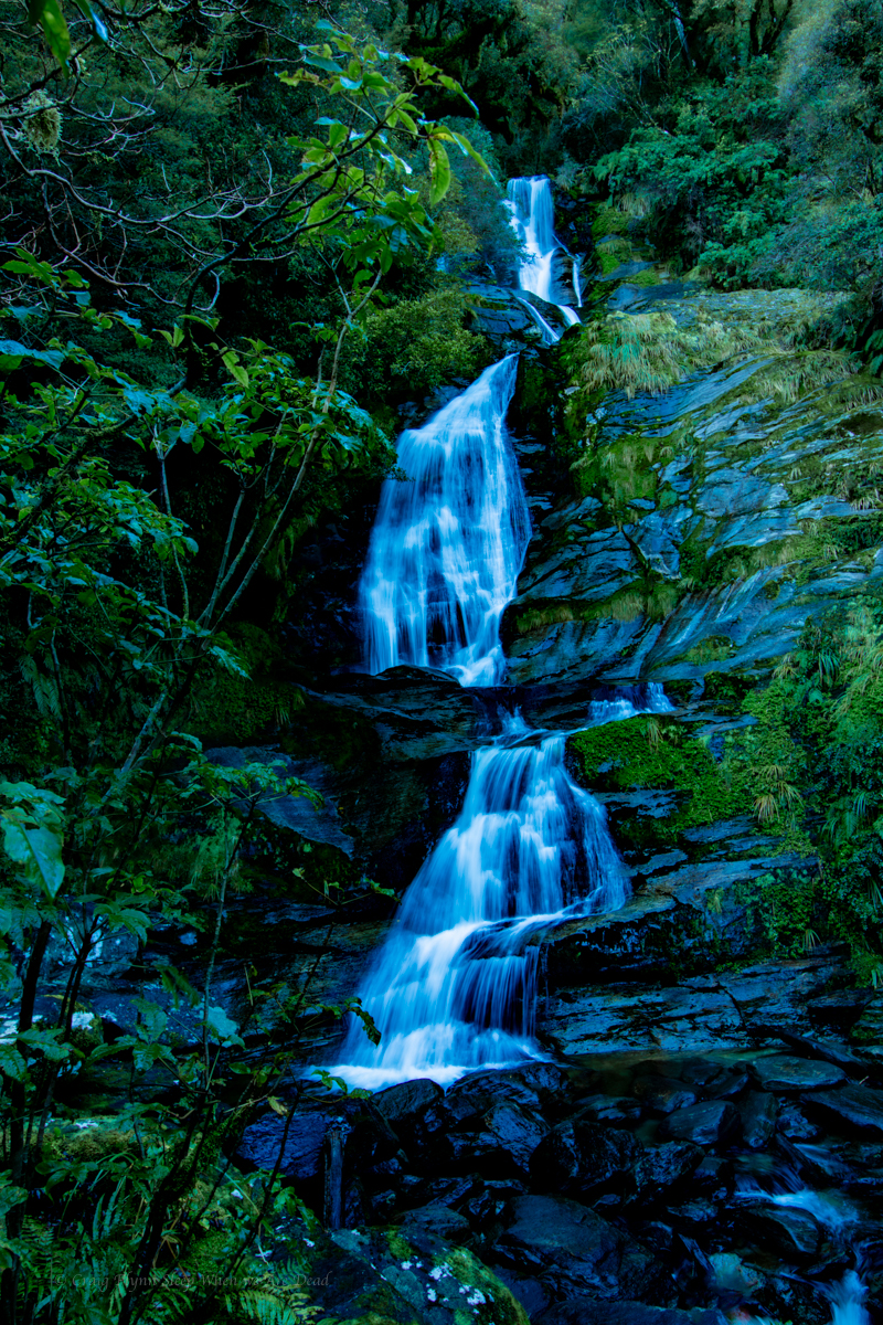
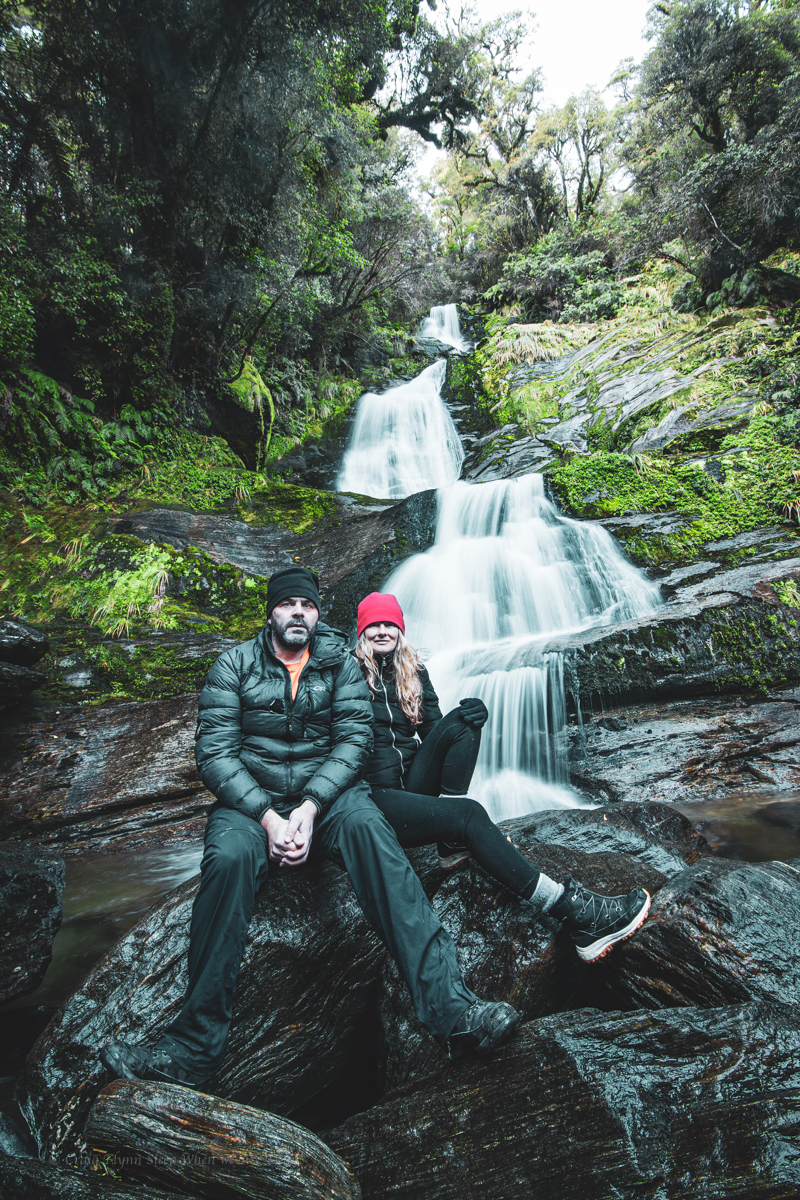
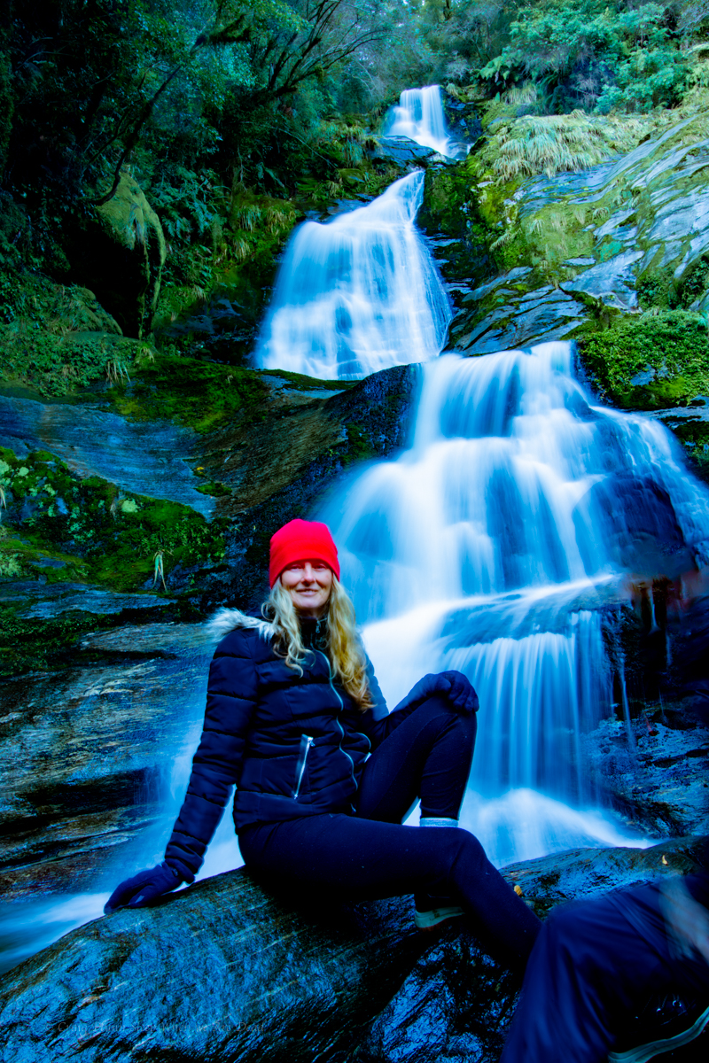
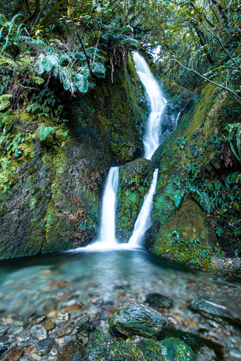
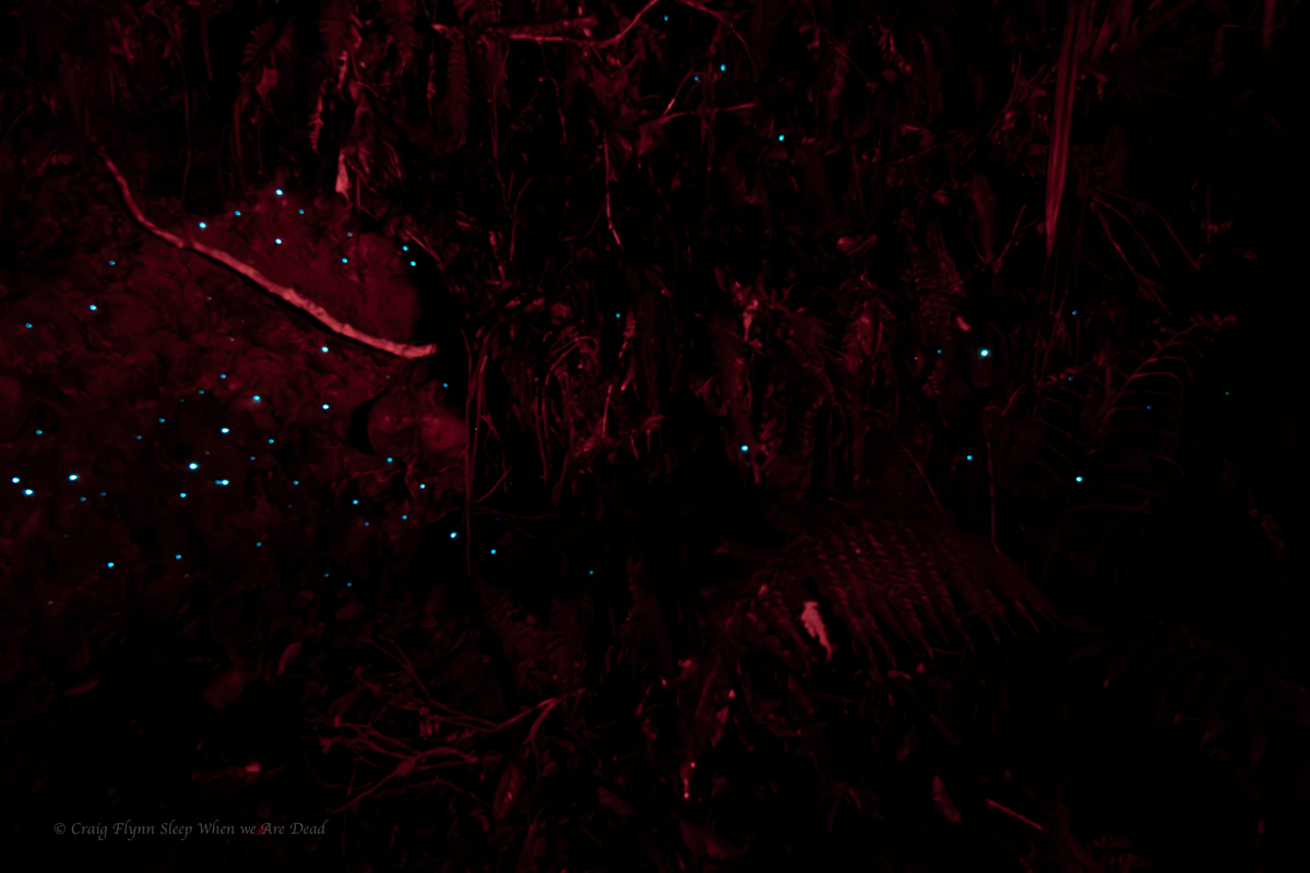
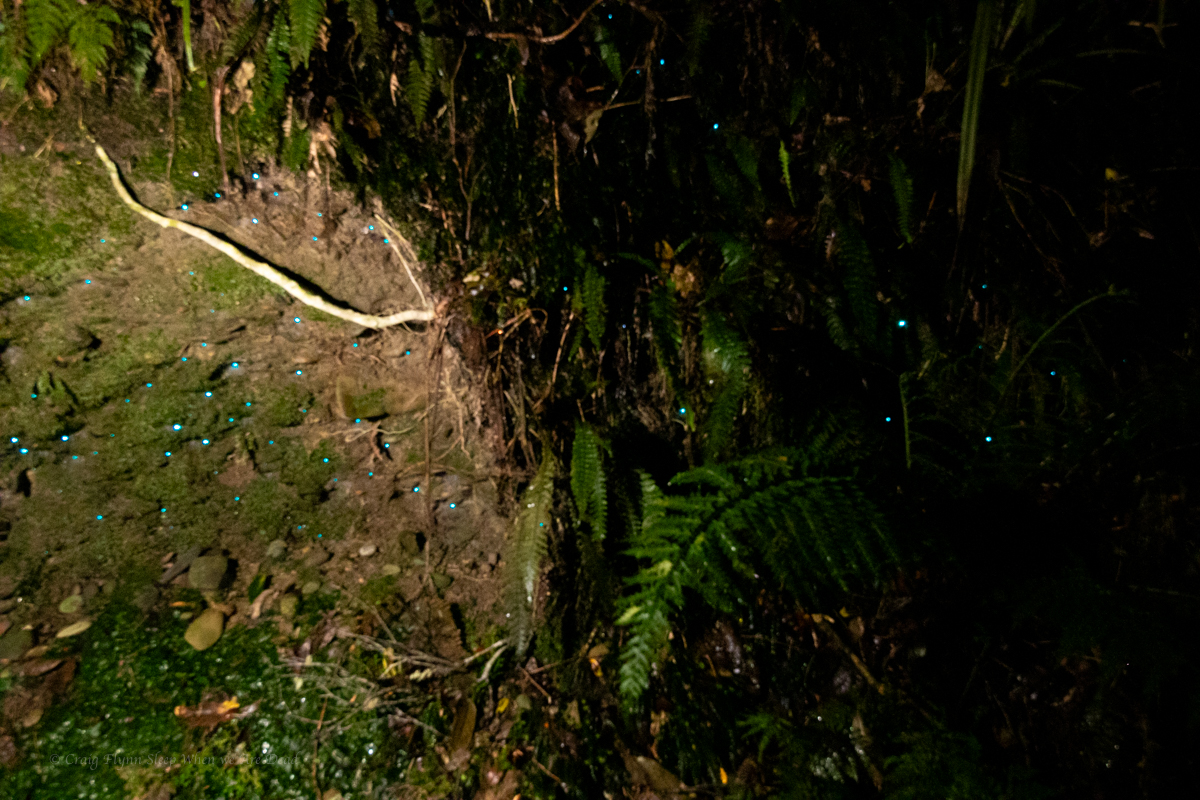
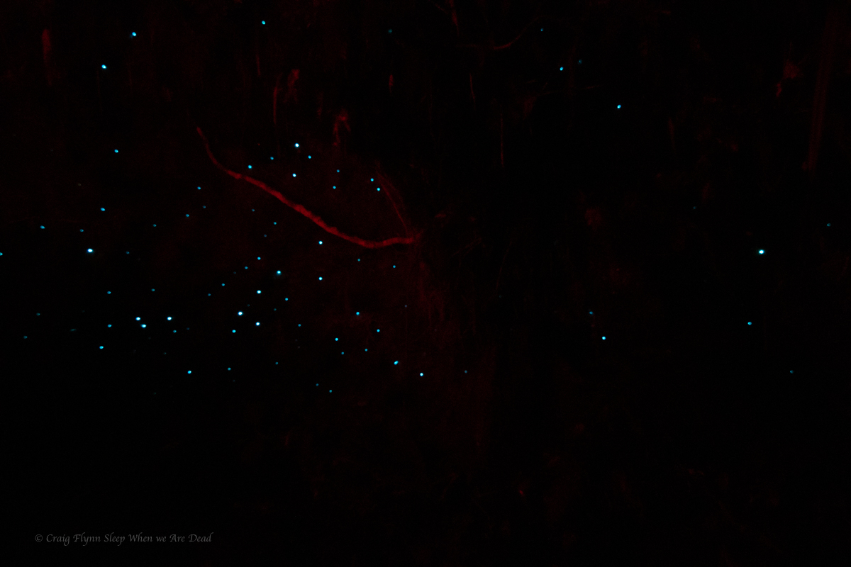
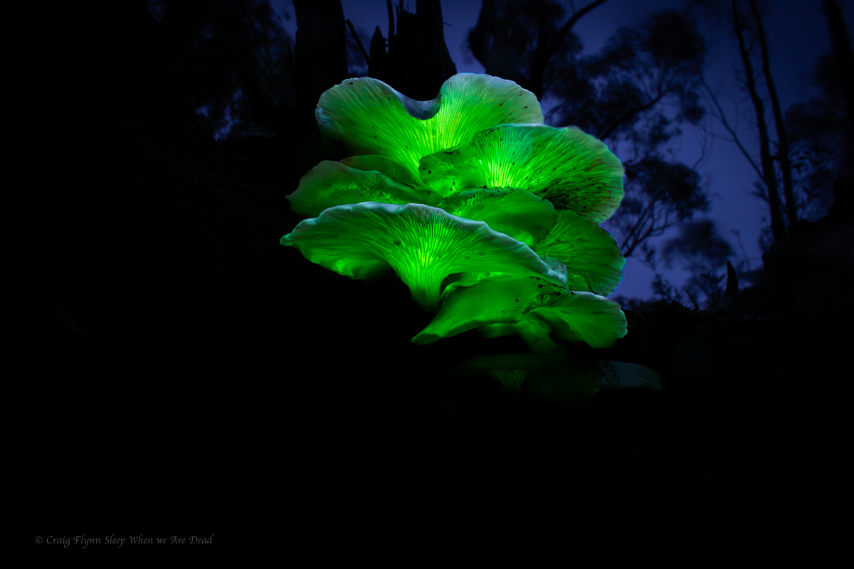
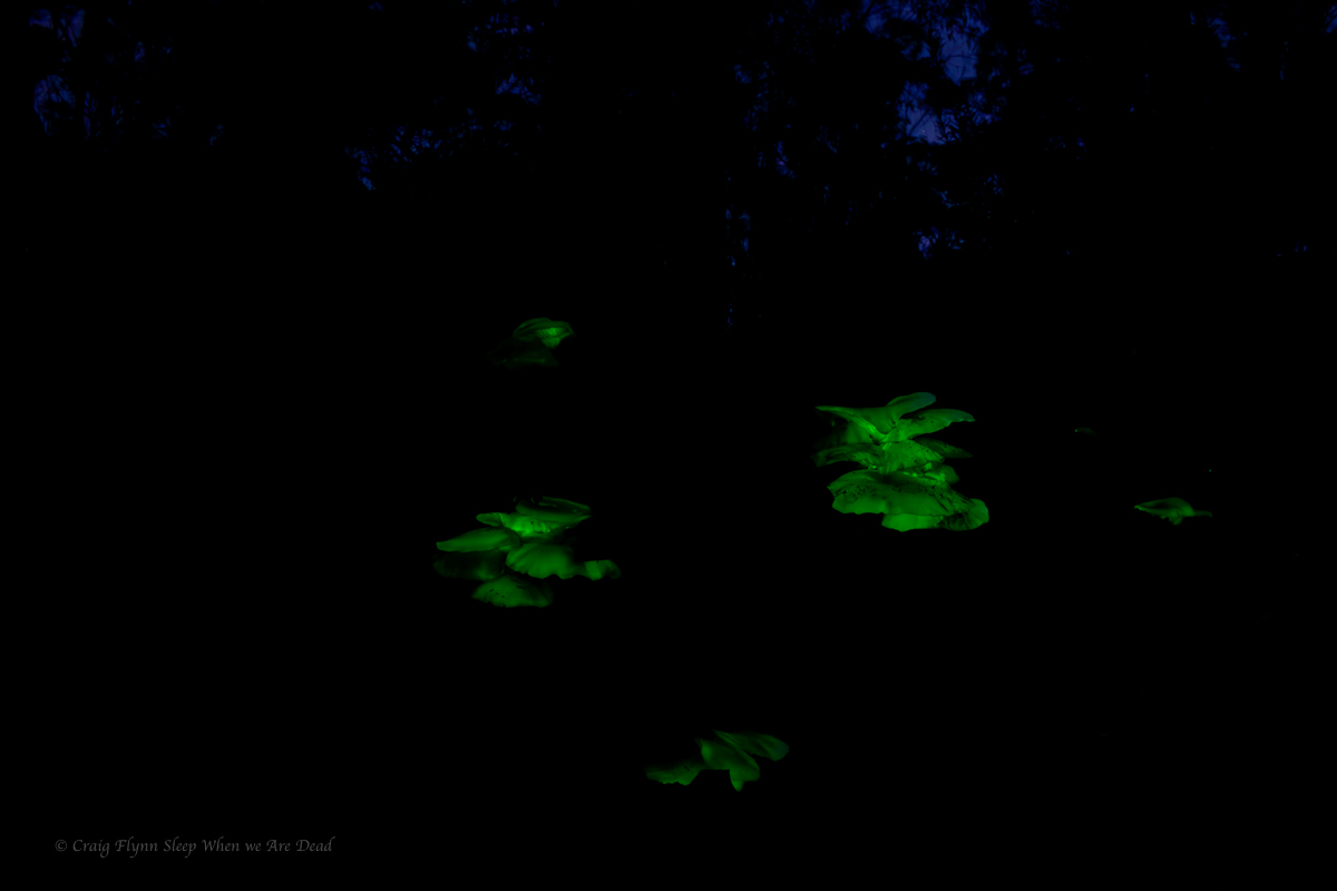
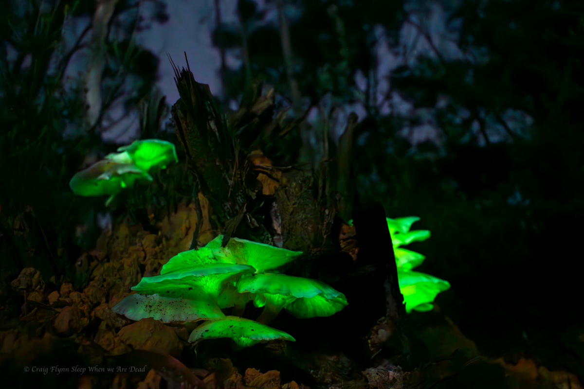
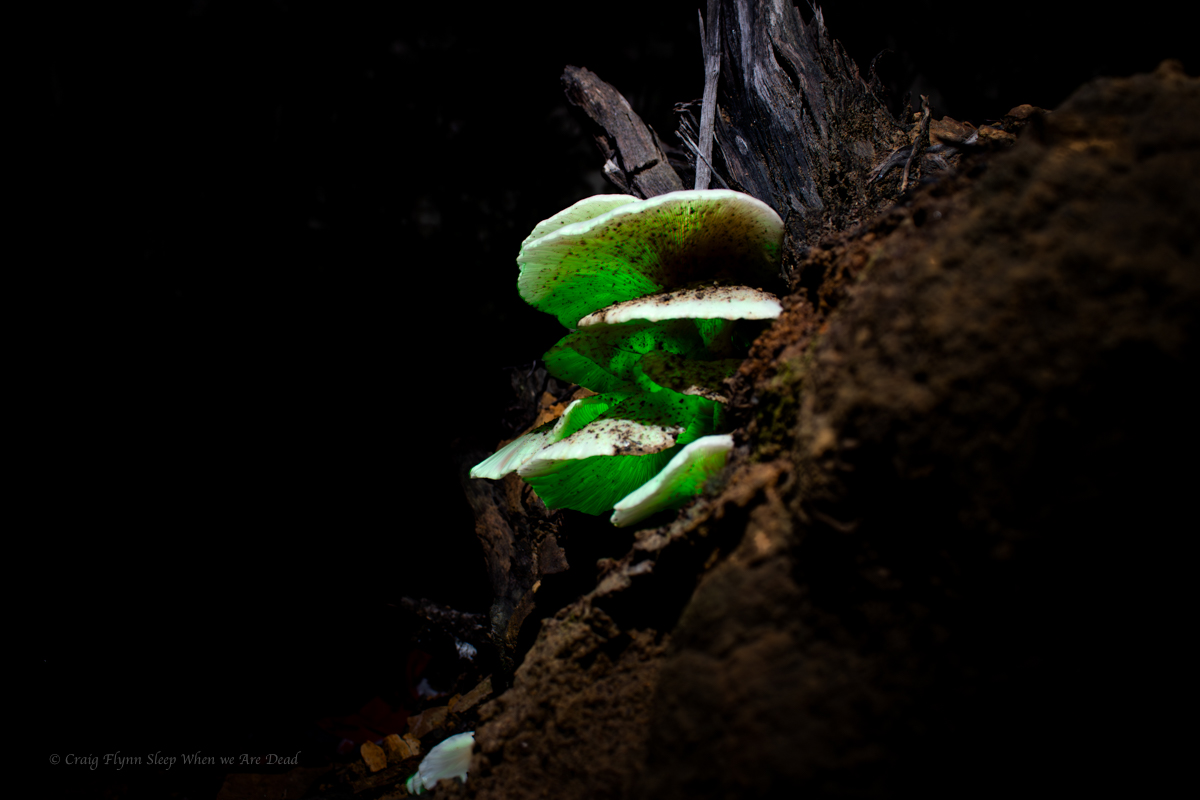
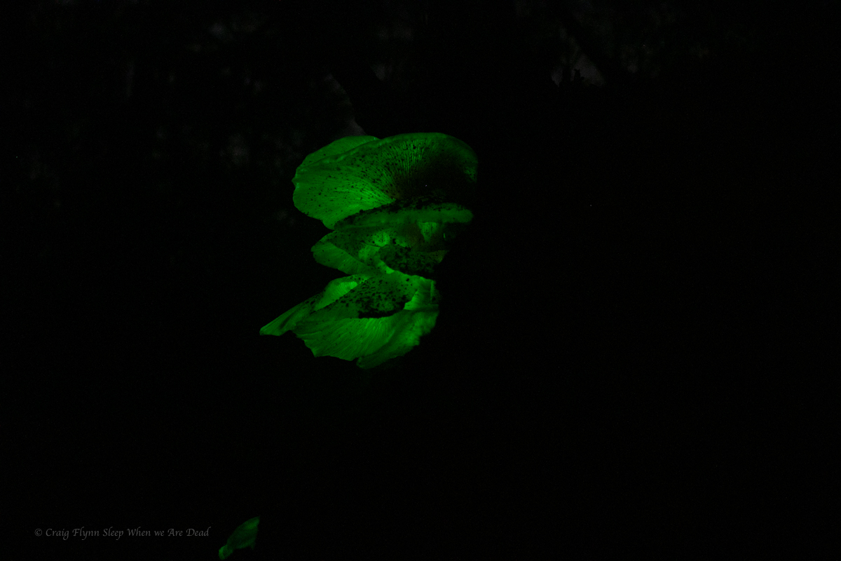
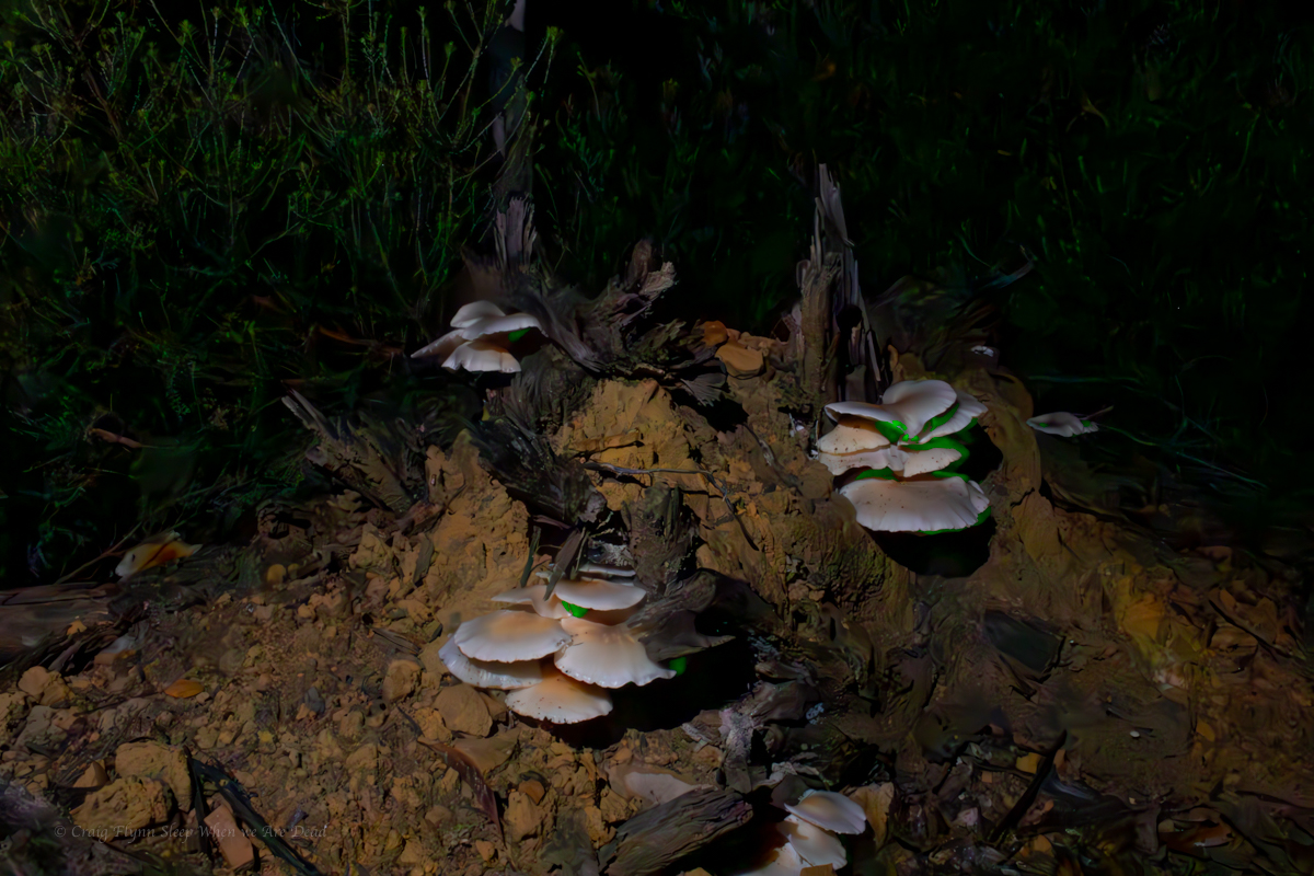
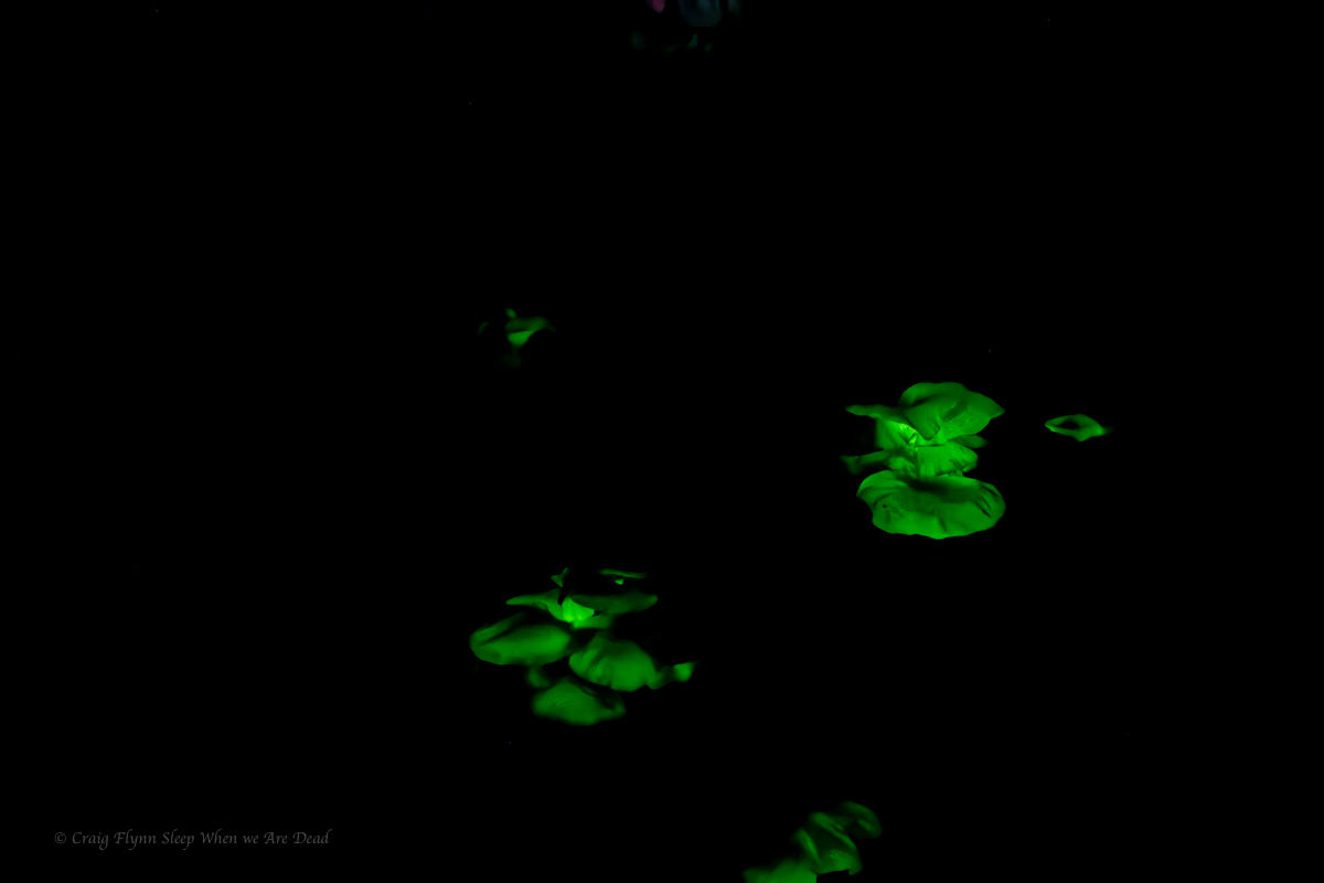
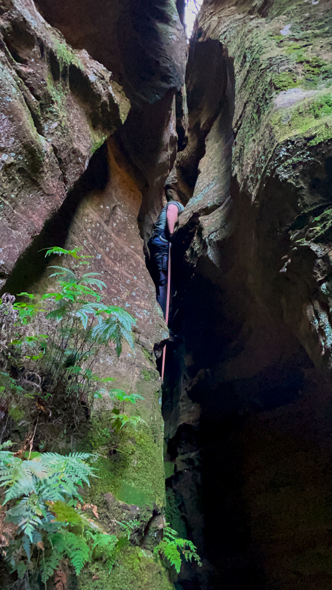
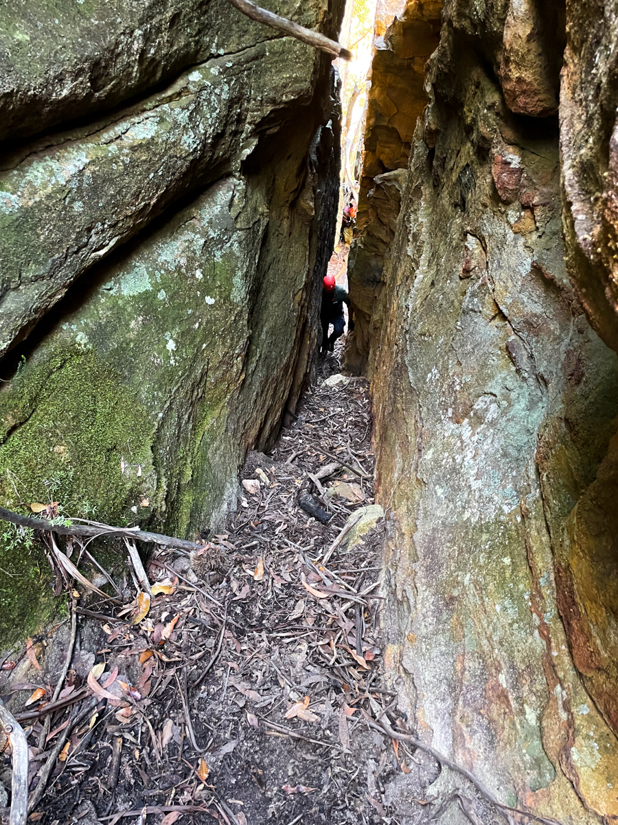
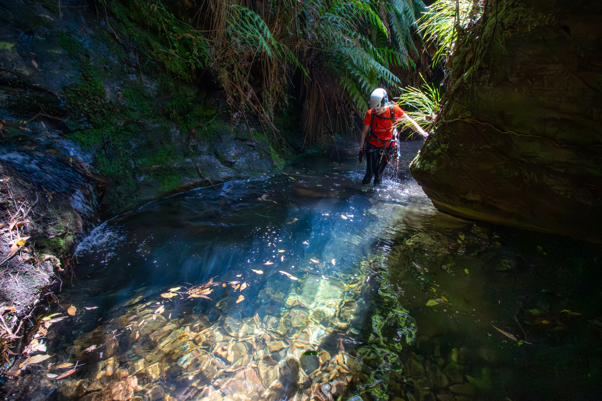
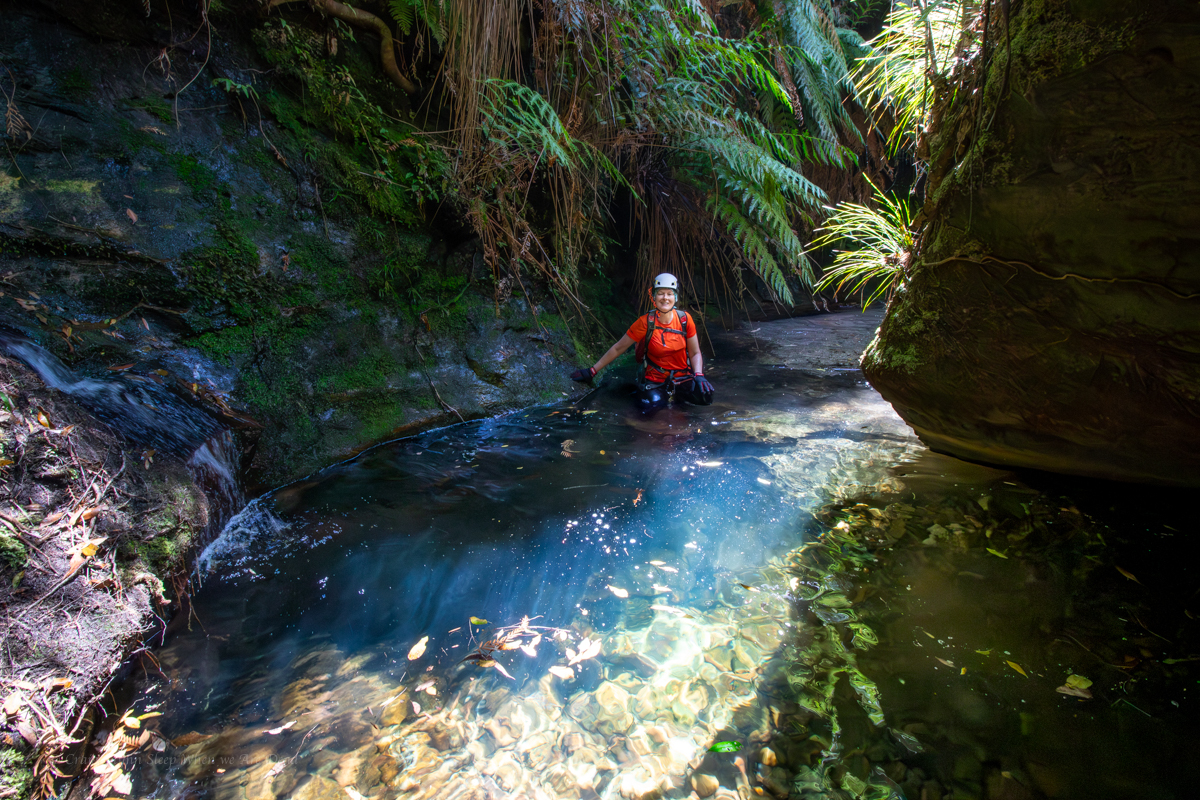
A lot of these little side canyons have 1 really nice chamber and that’s it. I was kinda expecting that to be the case here but what we got was a very beautiful series of enclosed dells. it reminded me a bit of an untouched deep pass.
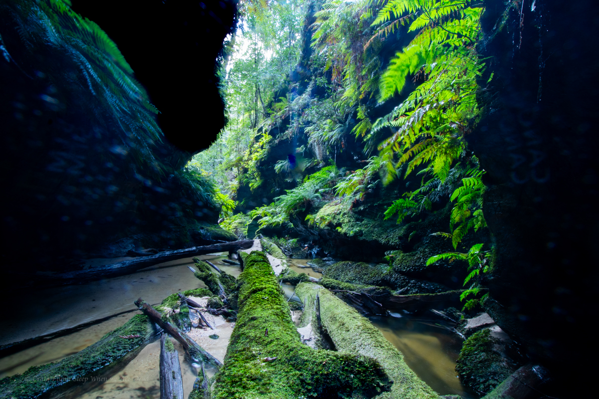
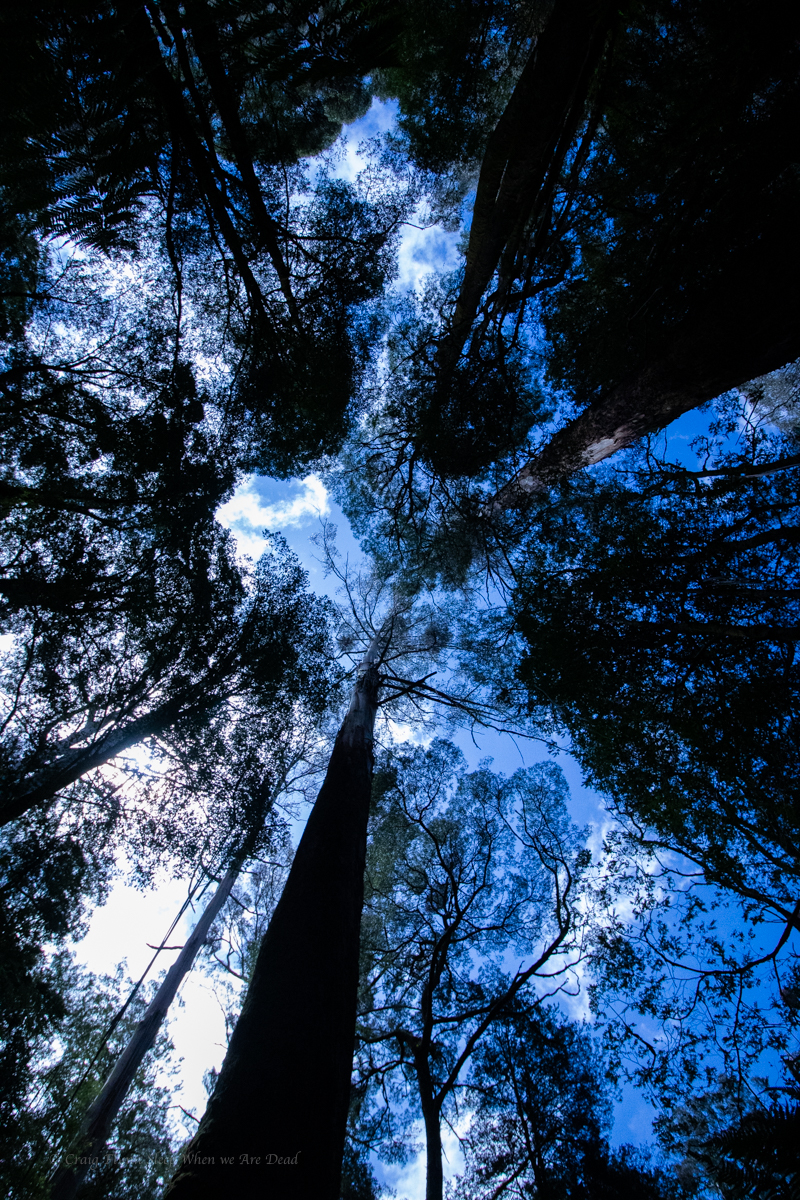
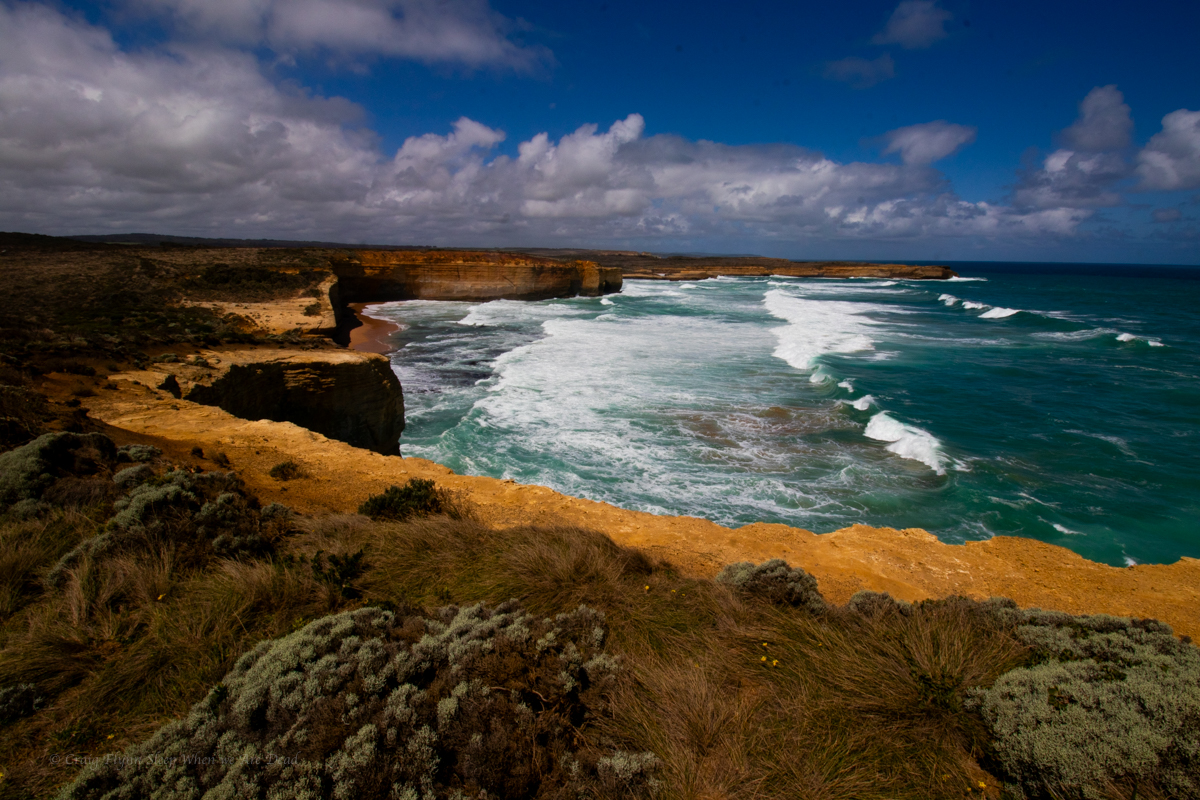
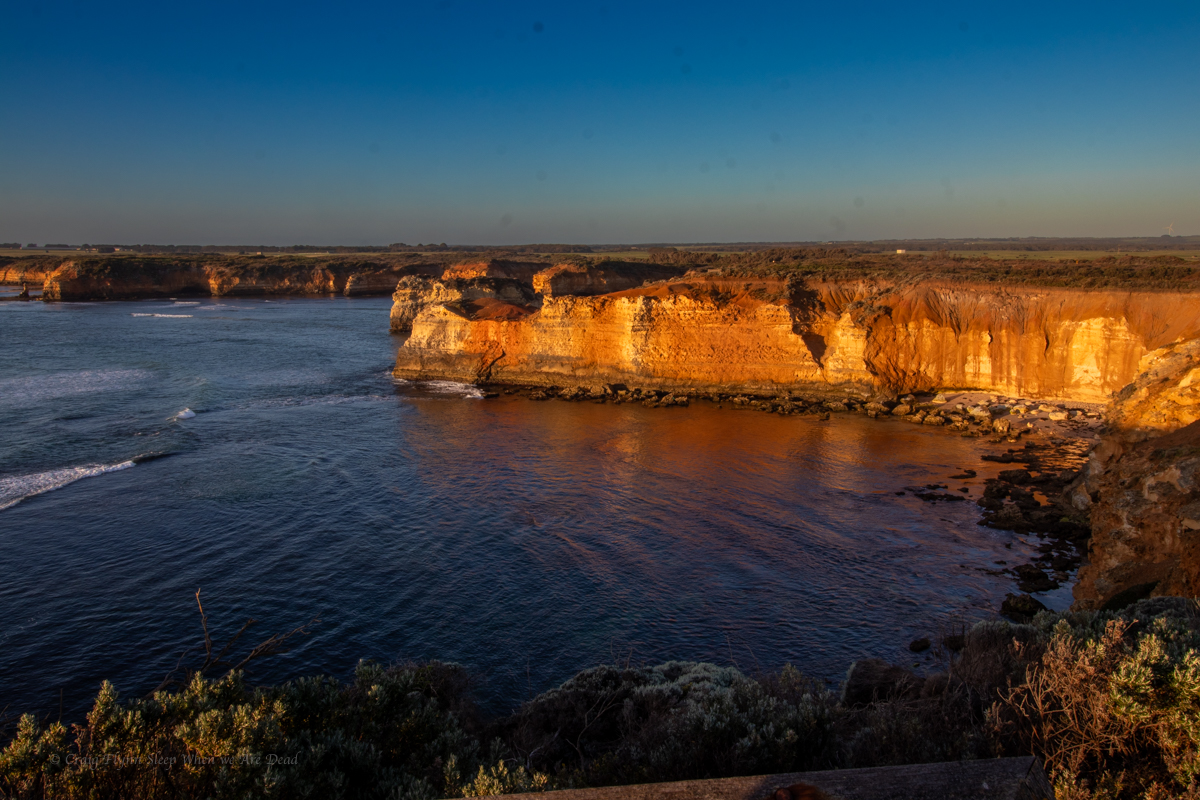
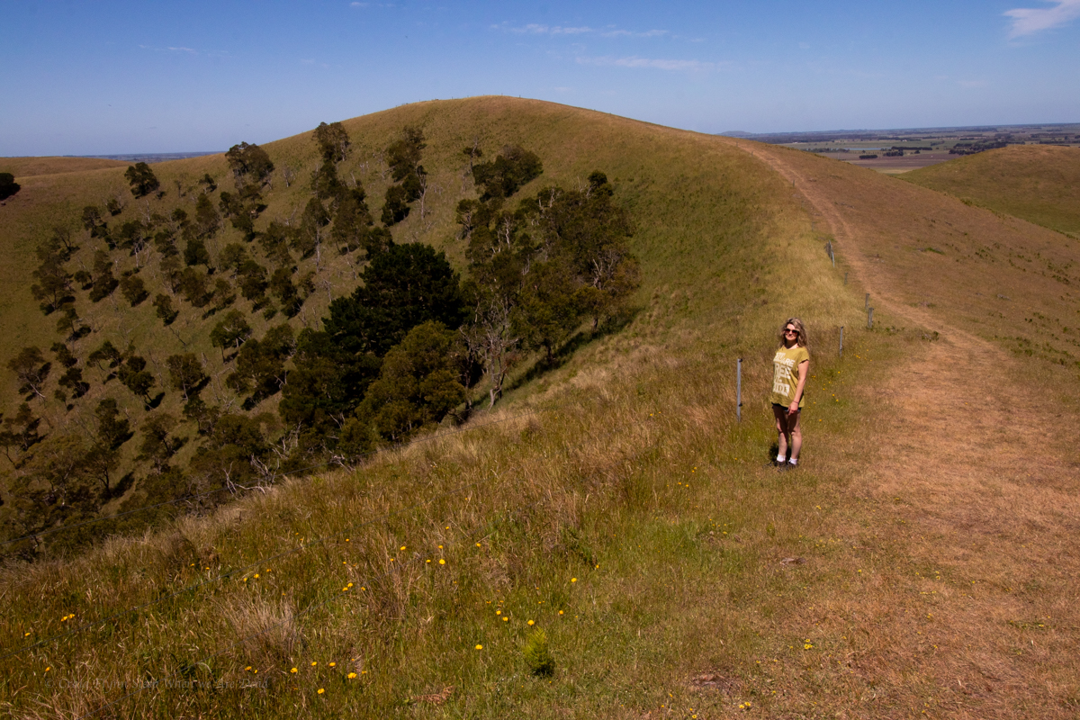
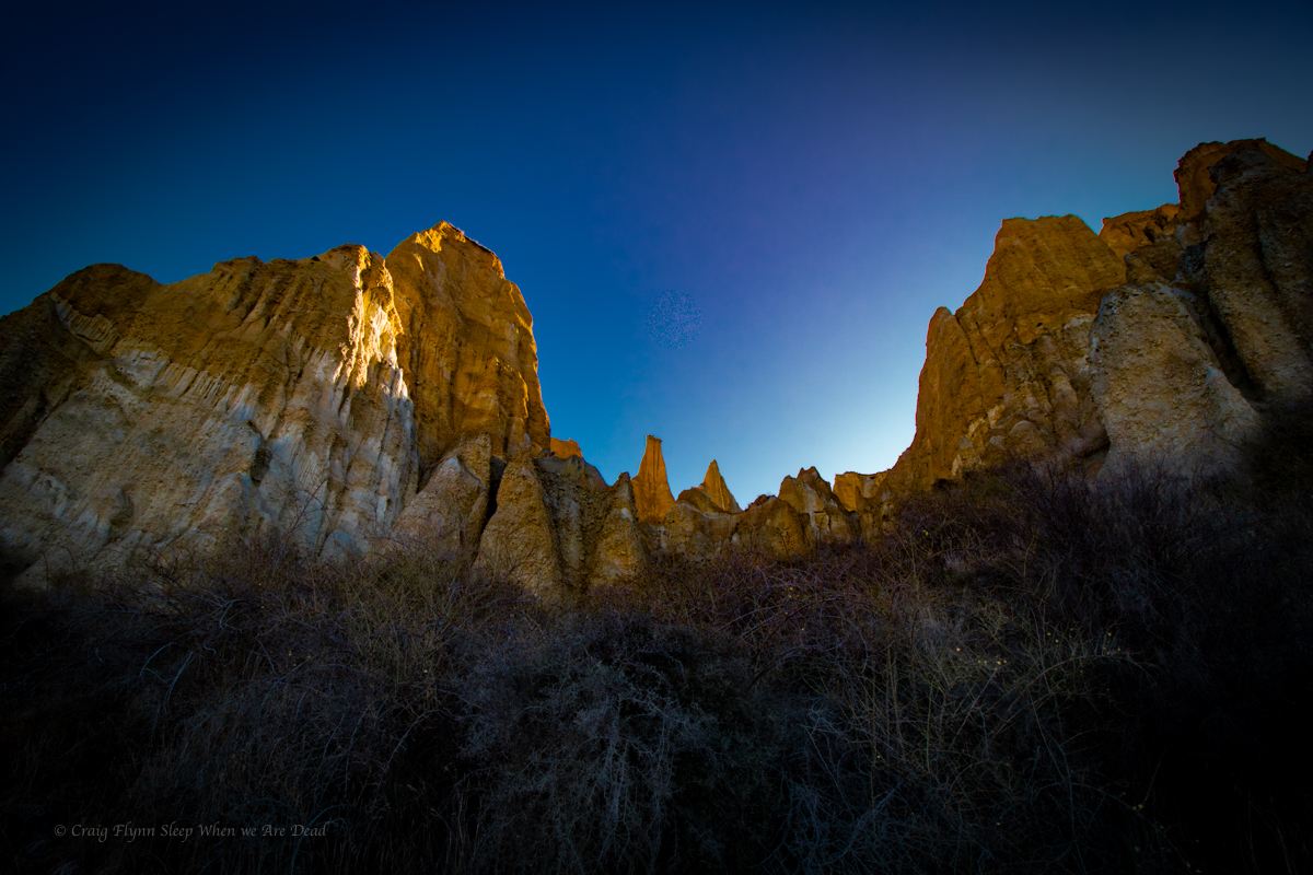
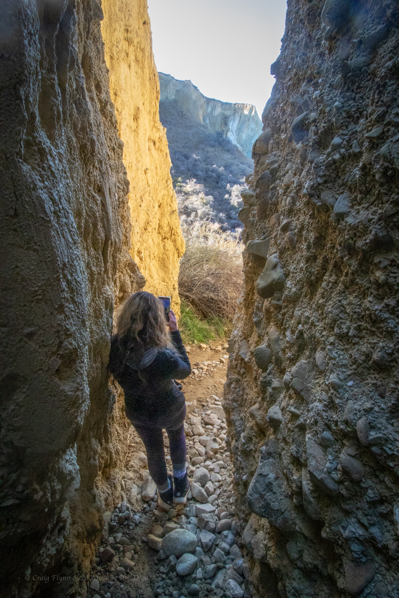
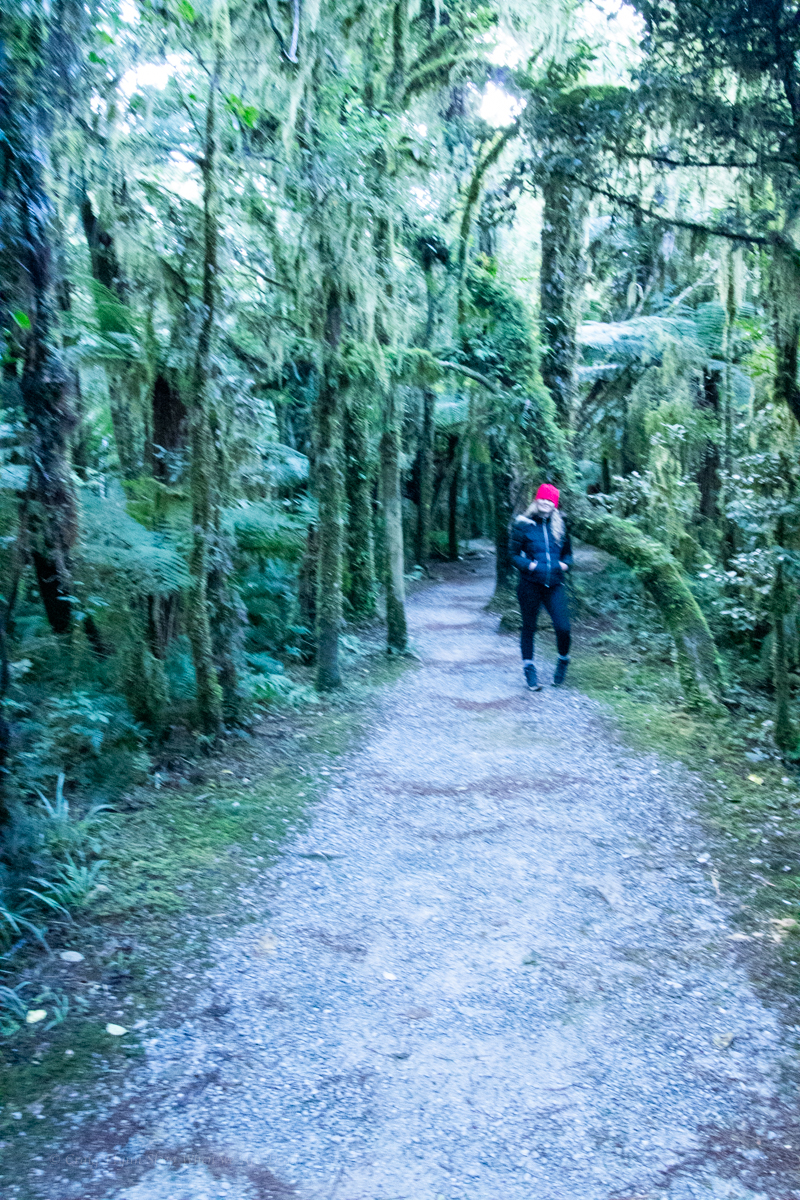
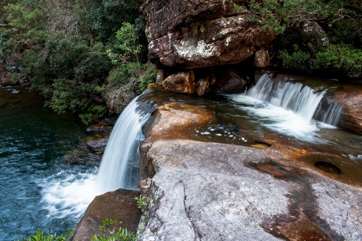
and the canyon opens up. We are a bit above the junction with South Bowen but follow a break in the cliff lines up to the left where a rough bush walkers trail leads up back up to the powerlines near where we first dropped in.
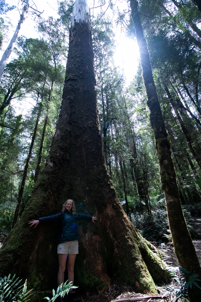
Seeing places few others see and doing things few others do is what it’s about
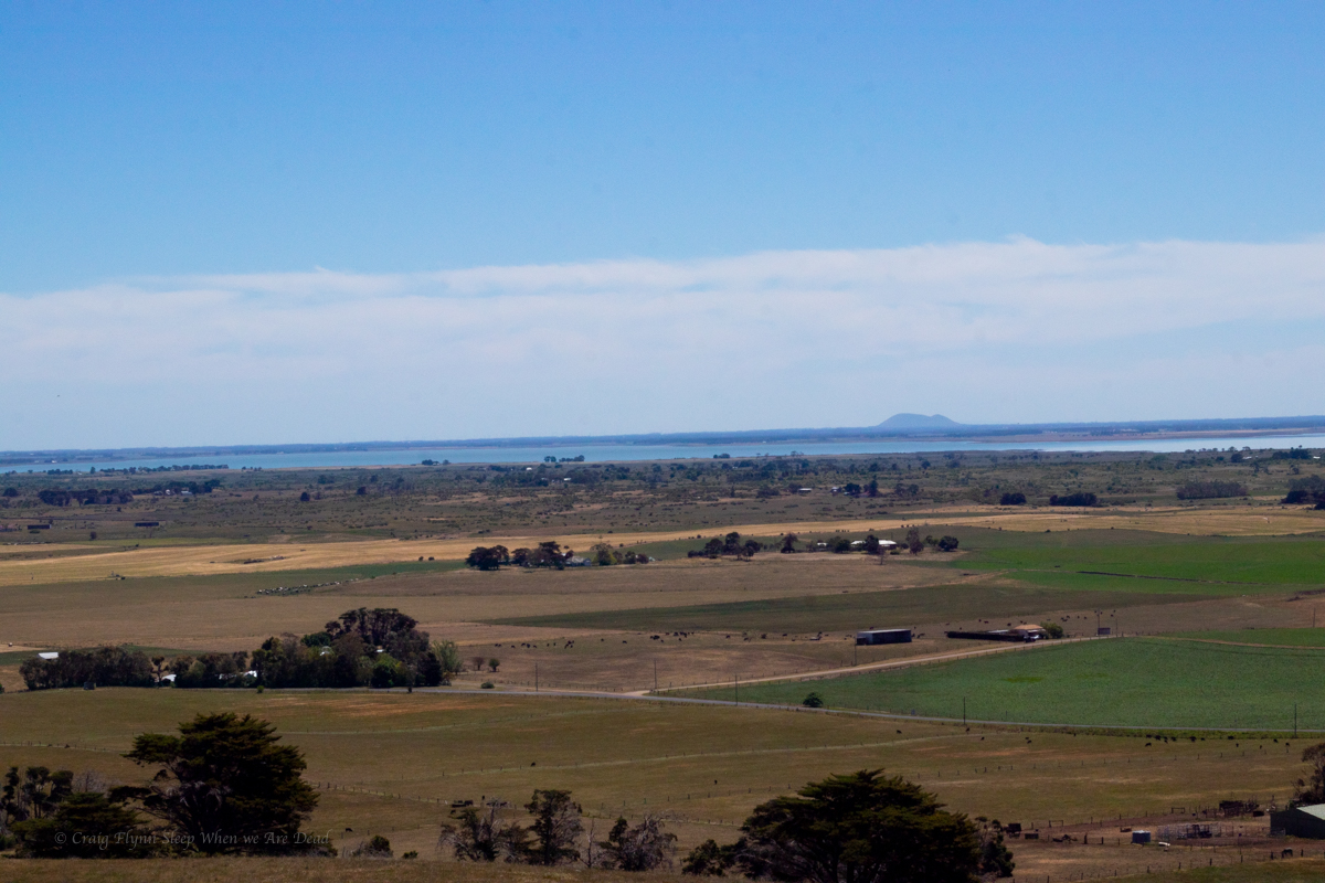
About 3hrs car to car with a lot of photo phaffing