24/01/2026
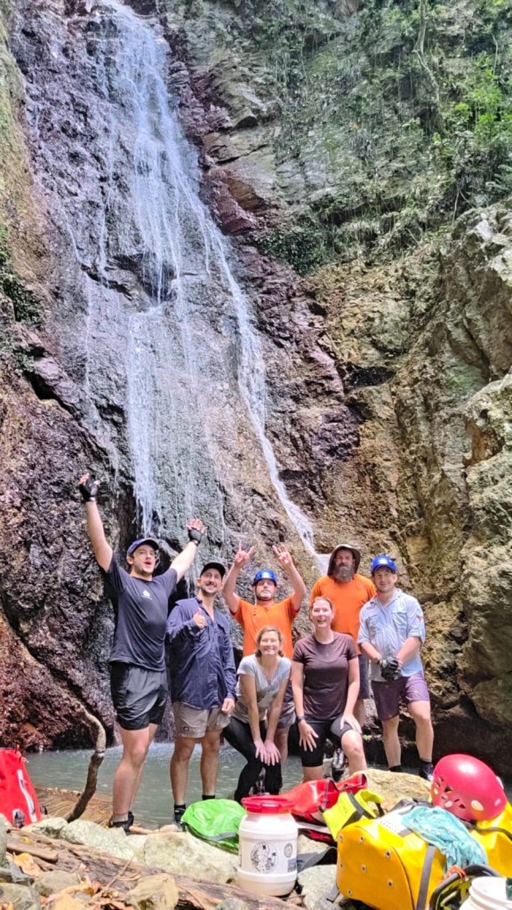
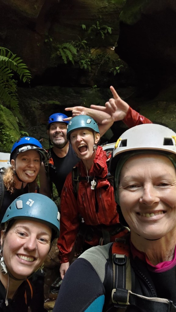
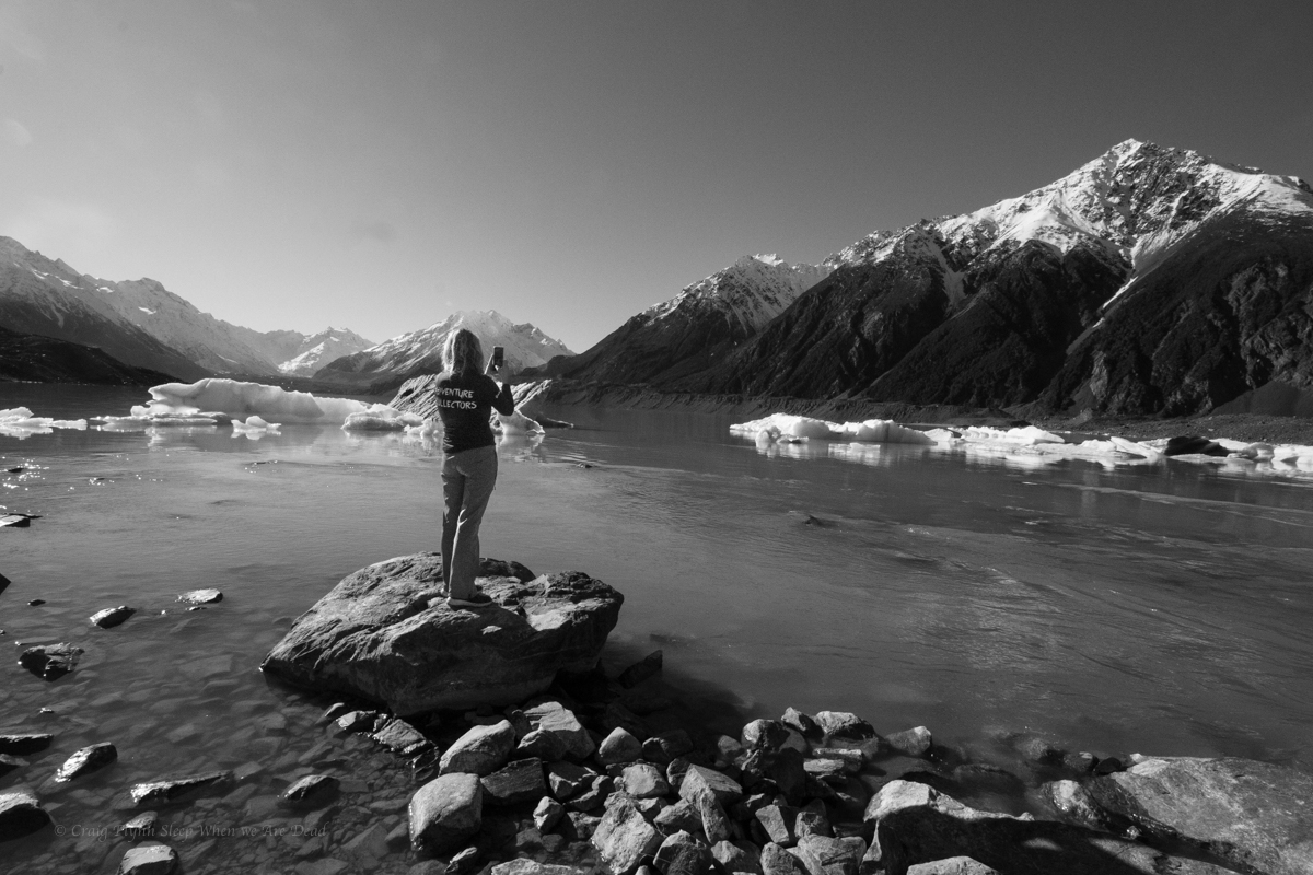
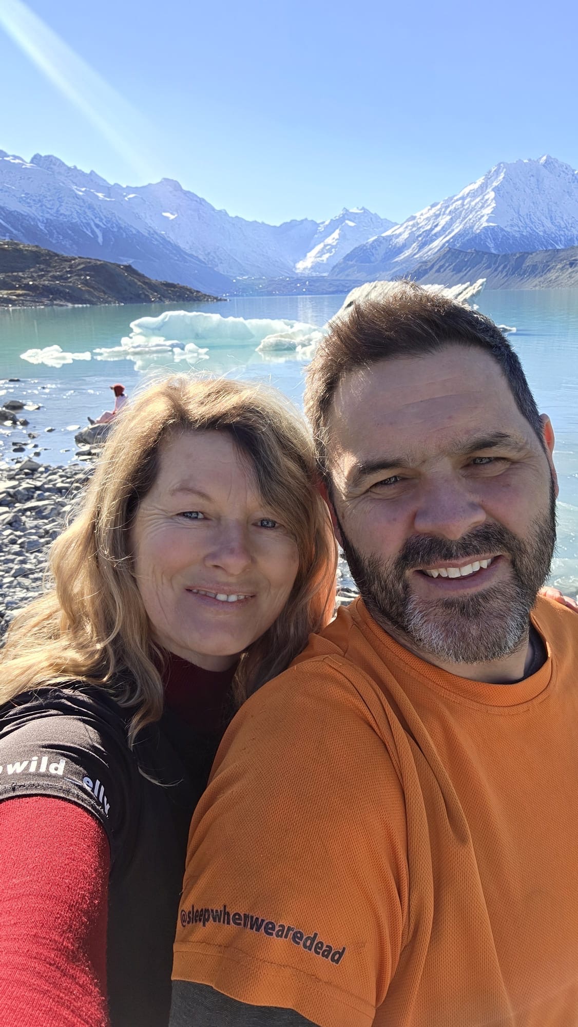
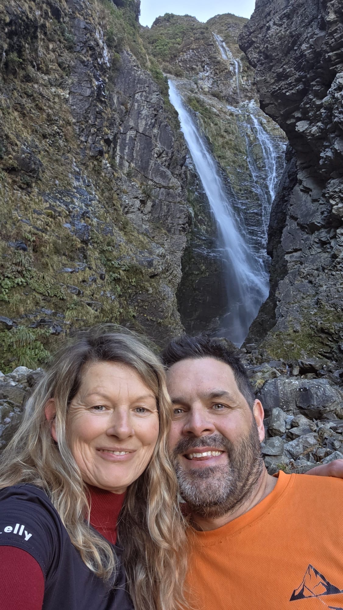
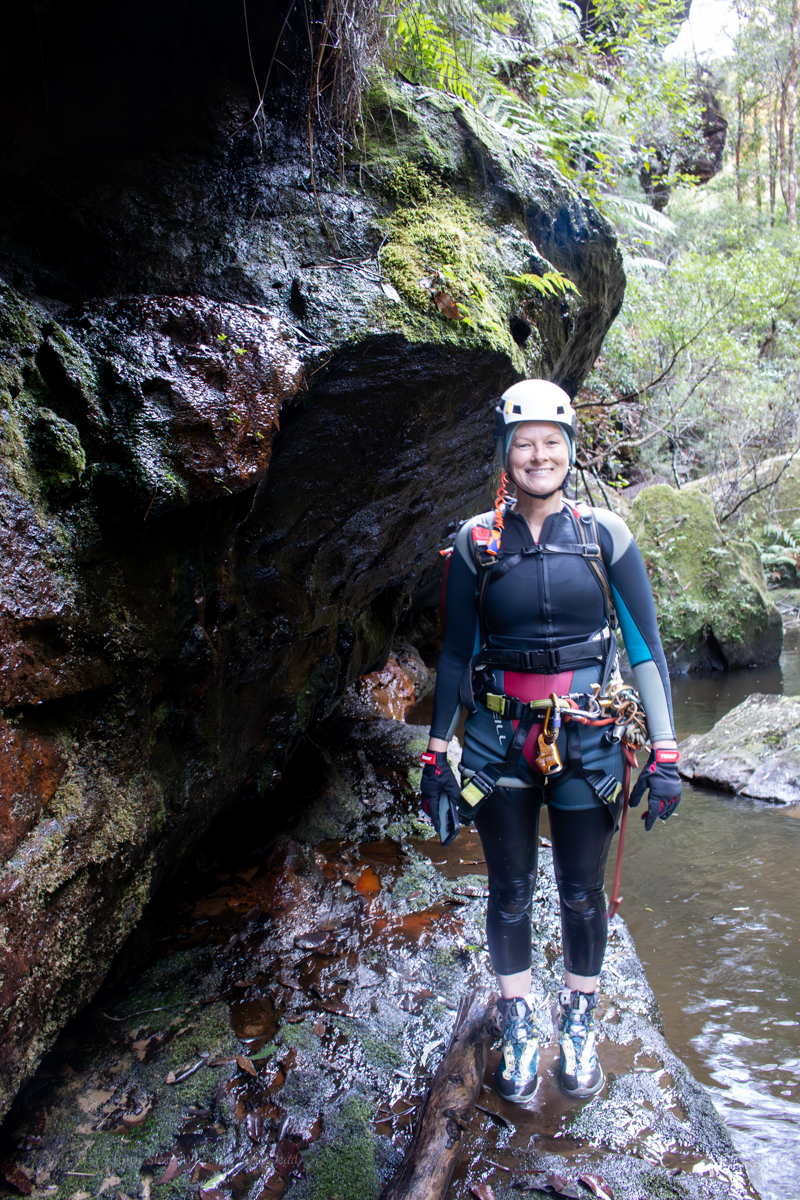
Jason, Dave, Wisey, Kylie and Me
Dr Forster went to Gloucester in a shower of rain.
He stepped in a puddle right up to his middle
and never went there again.
Ah English, where Forster rhymes with Gloucester and neither sounds like how they are spelt.
Anyhoo
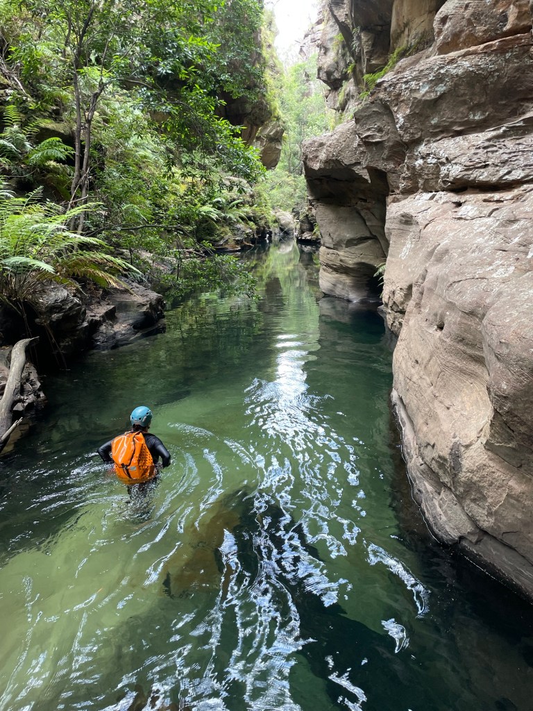
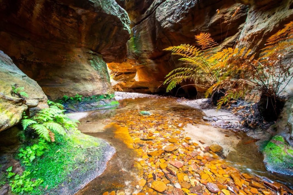
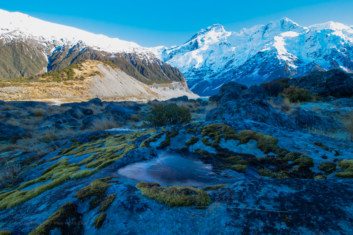
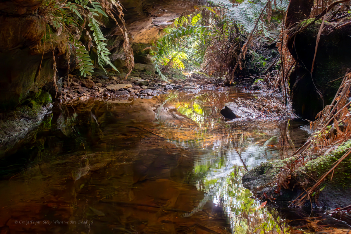
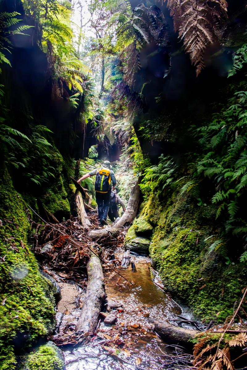
What better way to pop my Barrington cherry than with a run through the upper section of Gloucester canyon.
Jason and Kylie had done it numerous times before at much higher water levels so today was shaping up to be fairy chill.
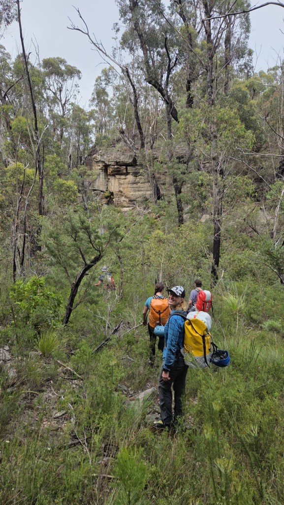
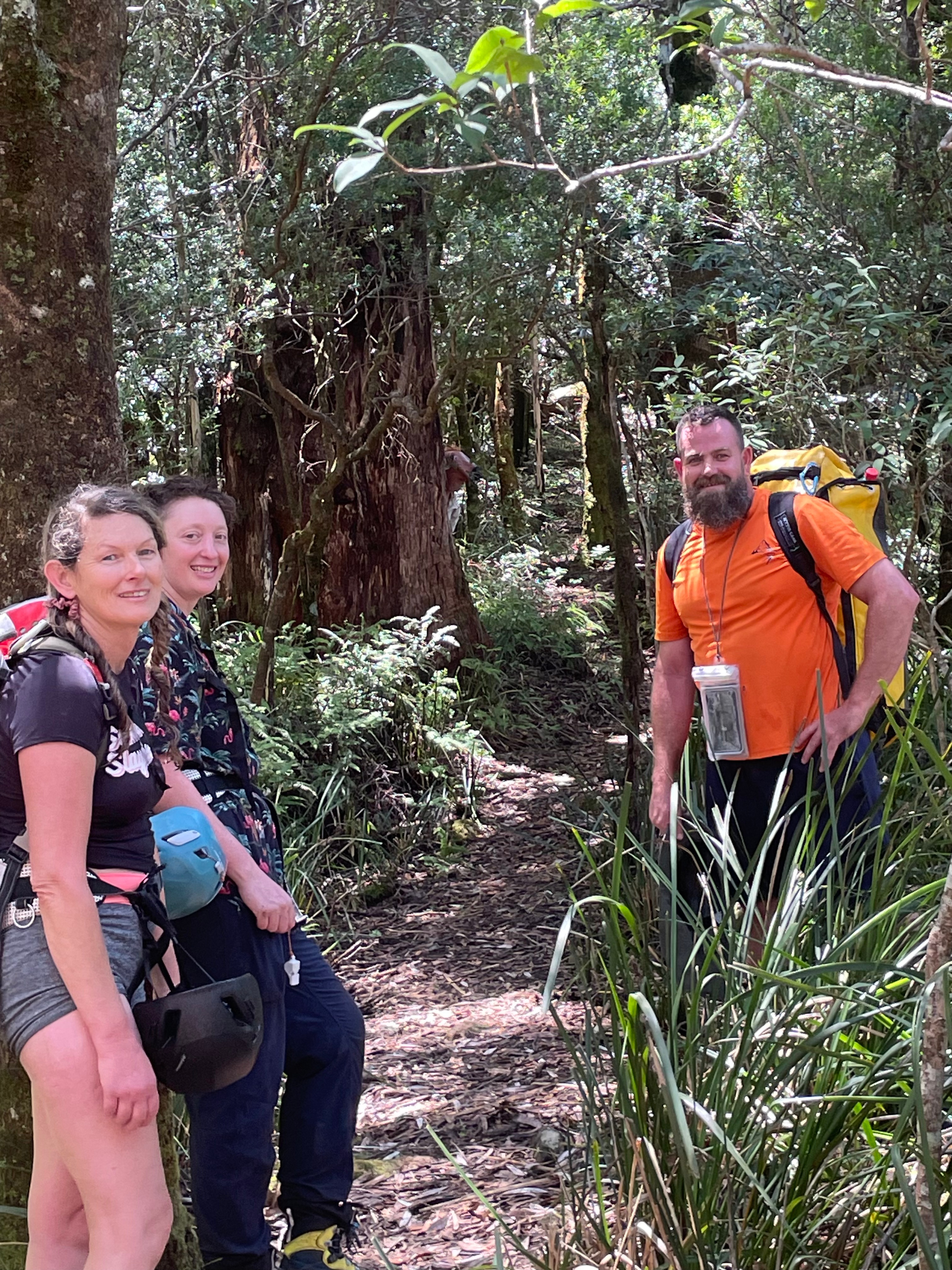
We had met Jason and Dave at camp the night before.
H had rolled in sometime through the night and we were all up early and eager.
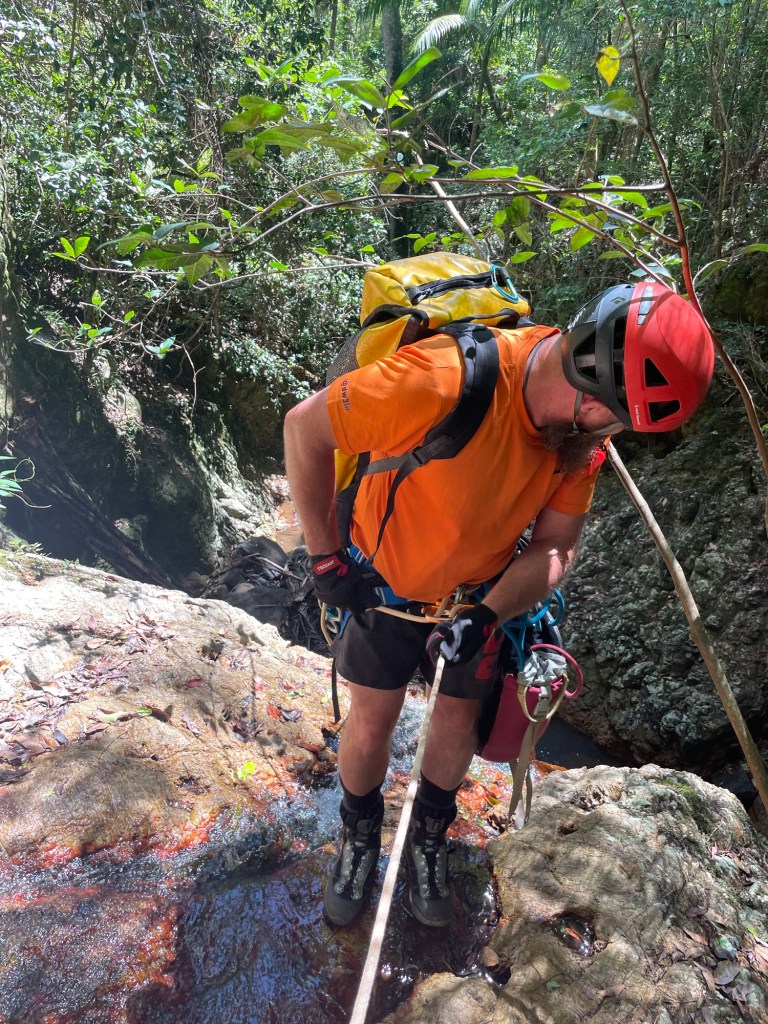
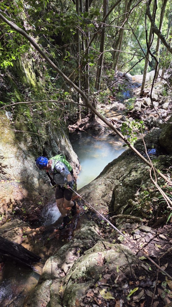
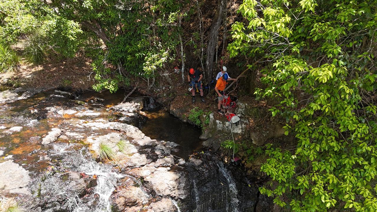
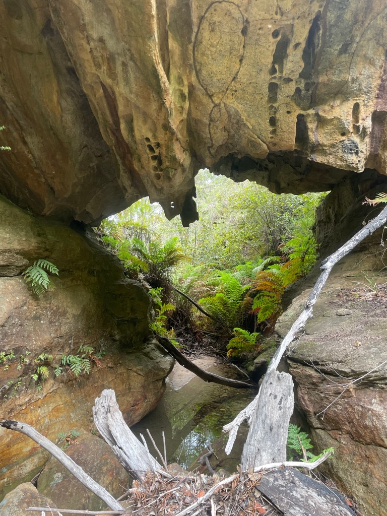
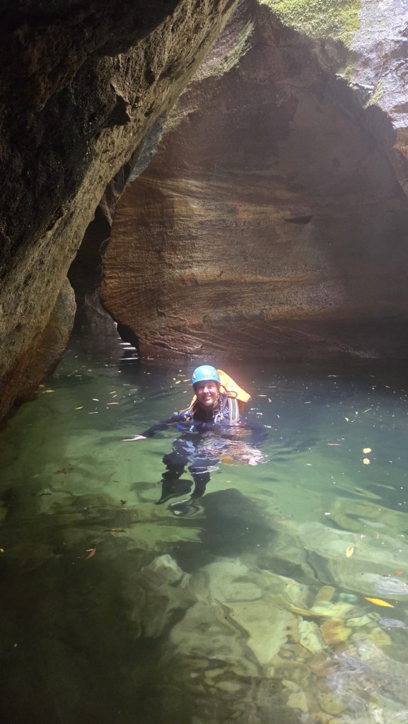
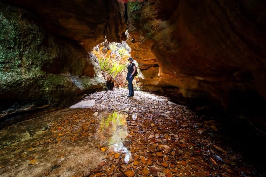
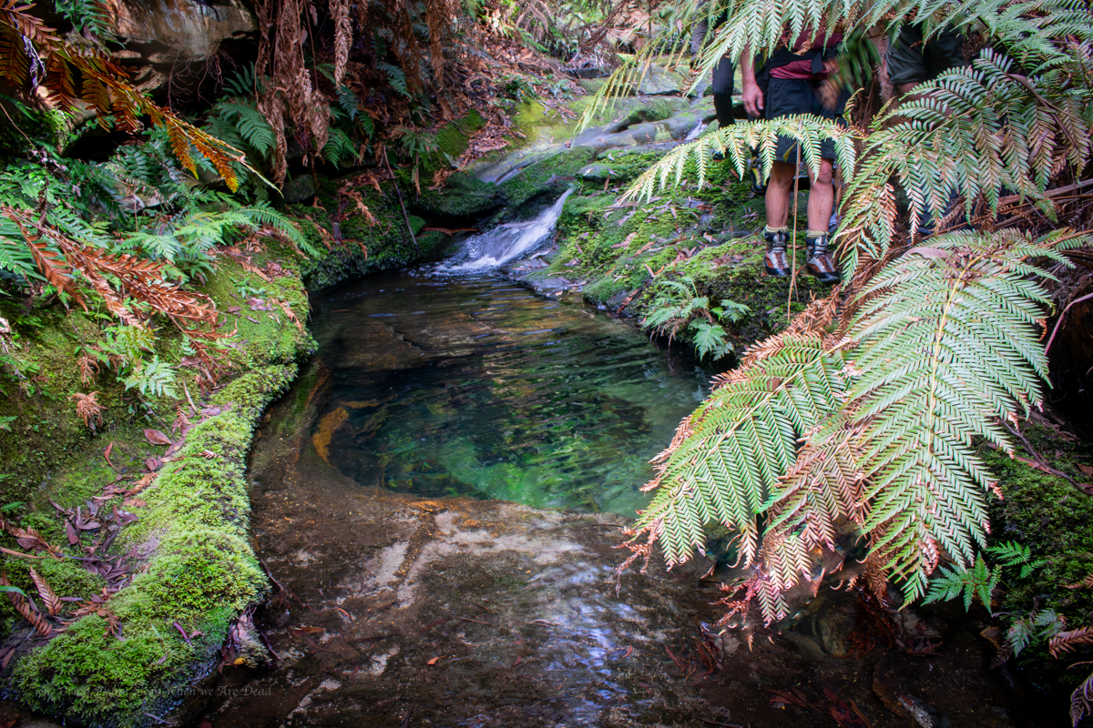
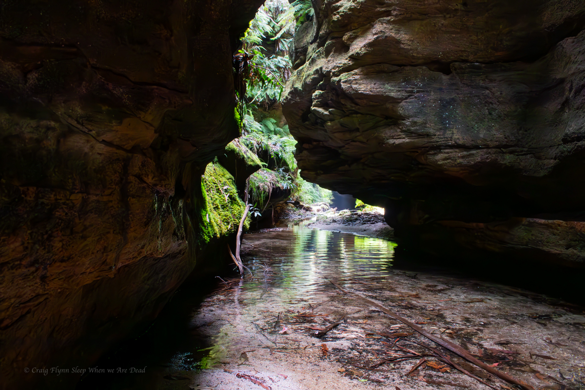
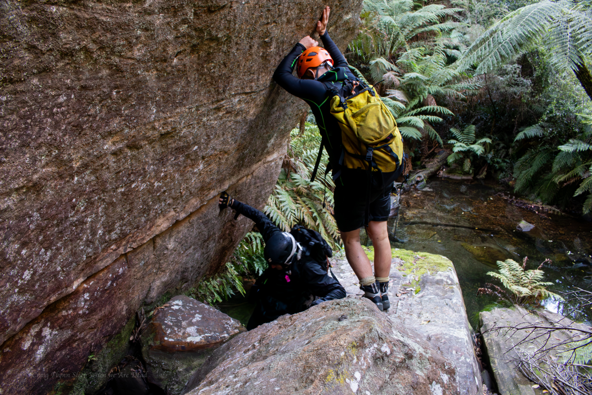
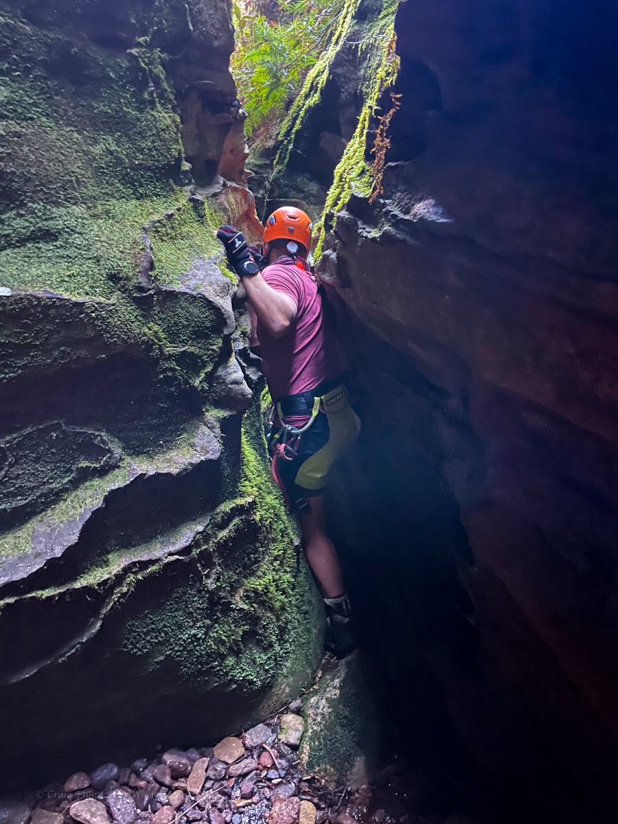
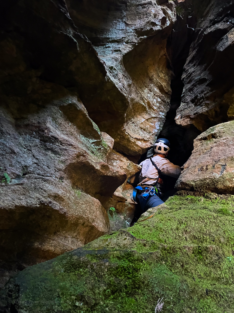
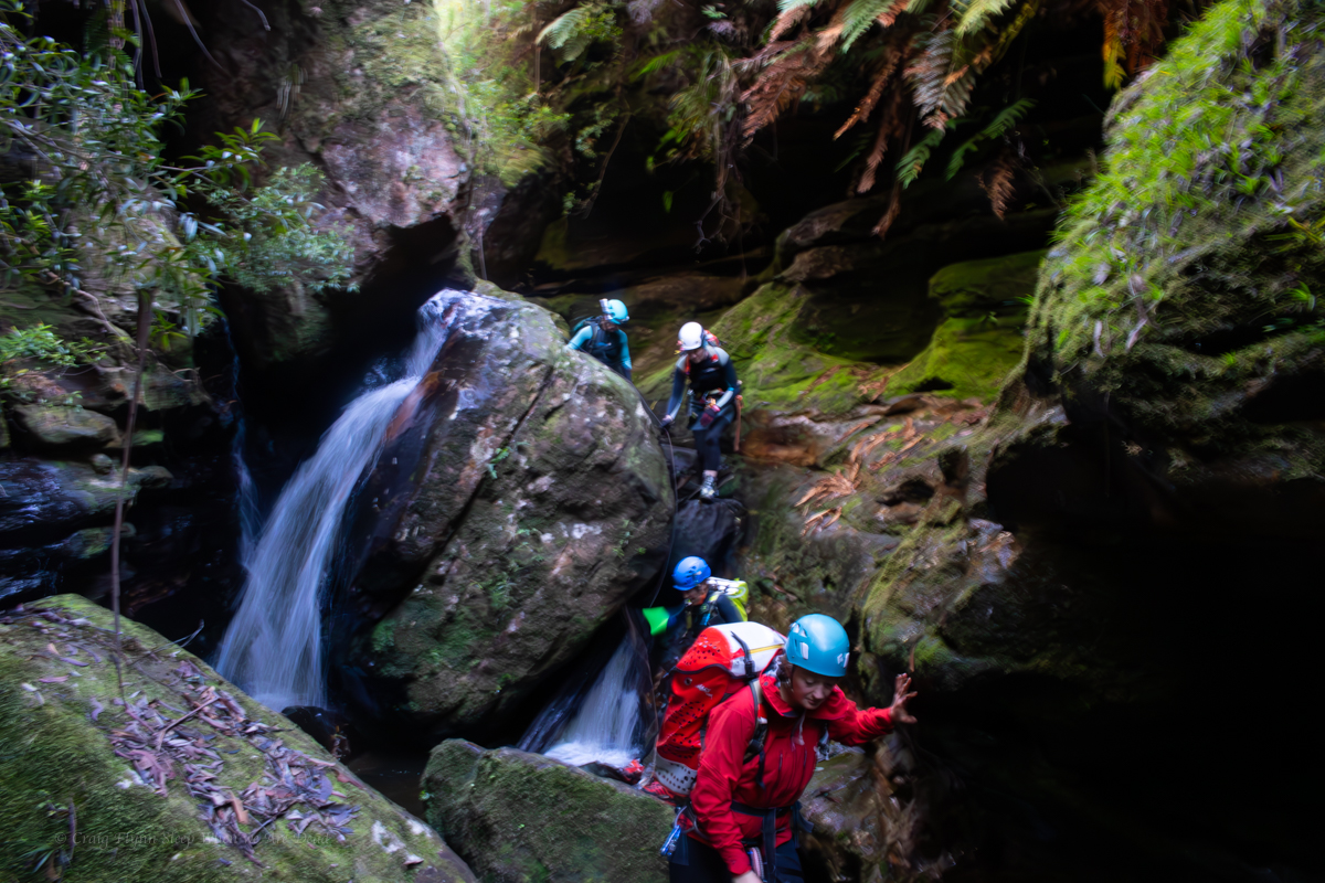
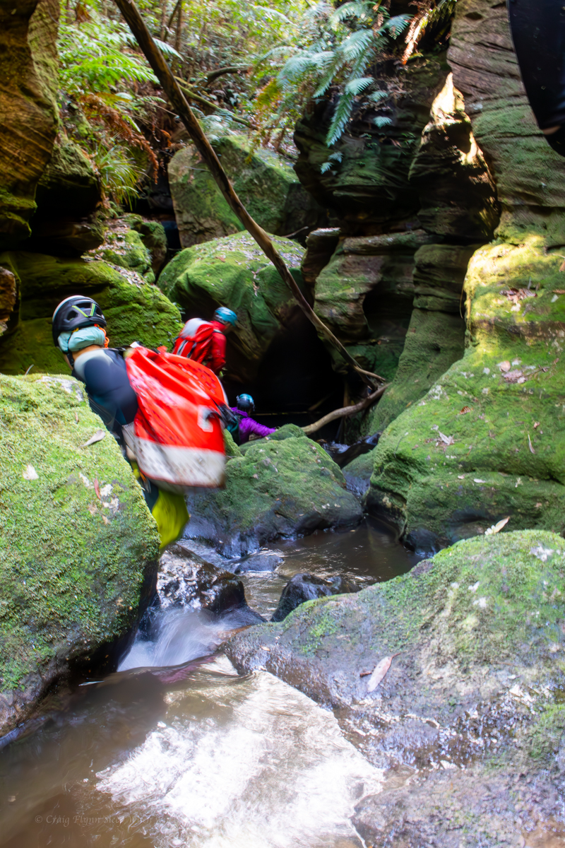
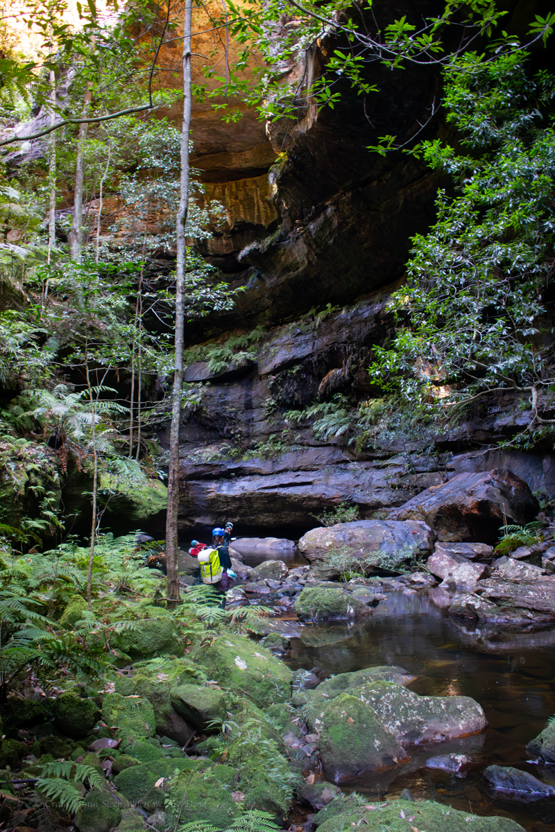
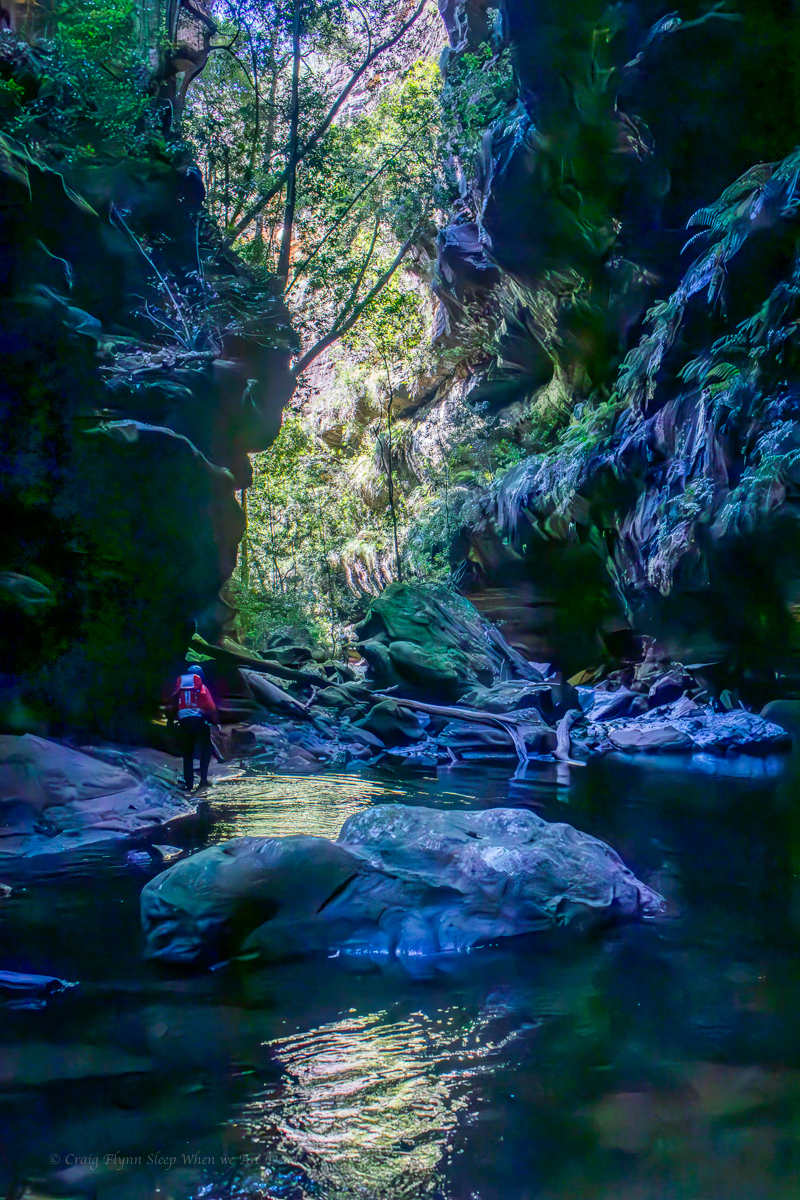
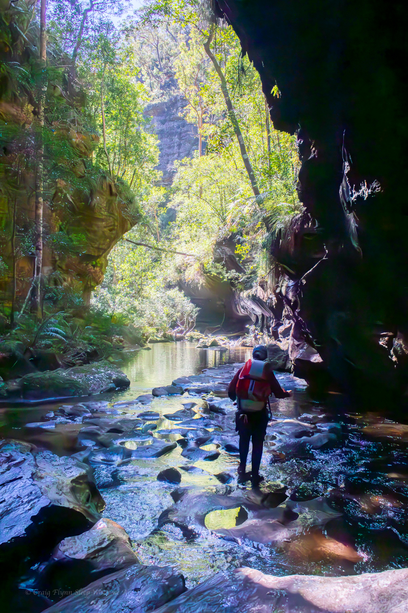
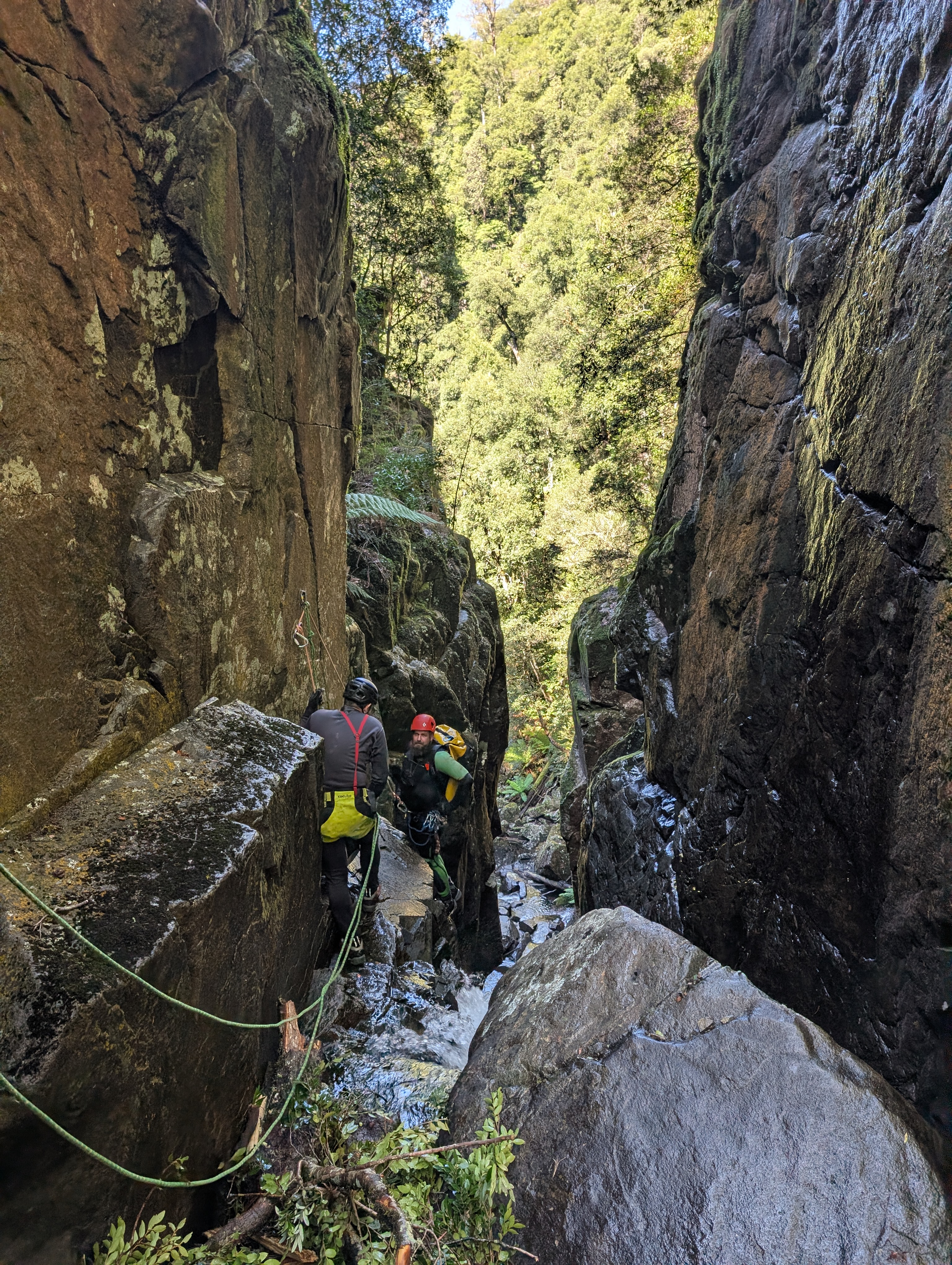
It’s a short walk in and in high spirits we suit up and make our way down to the first abseil.

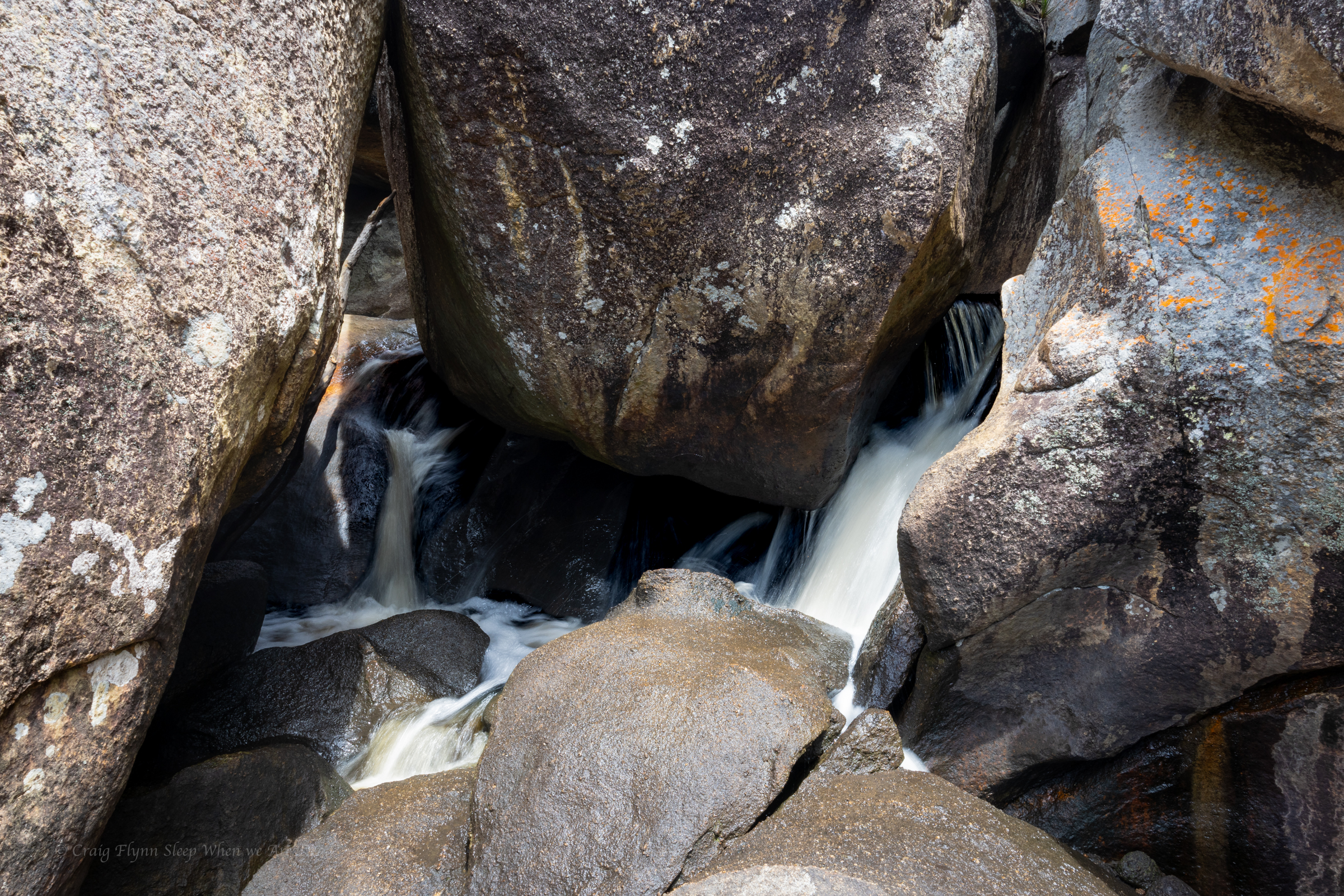
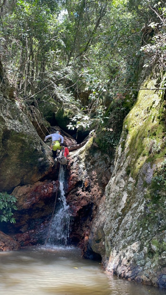
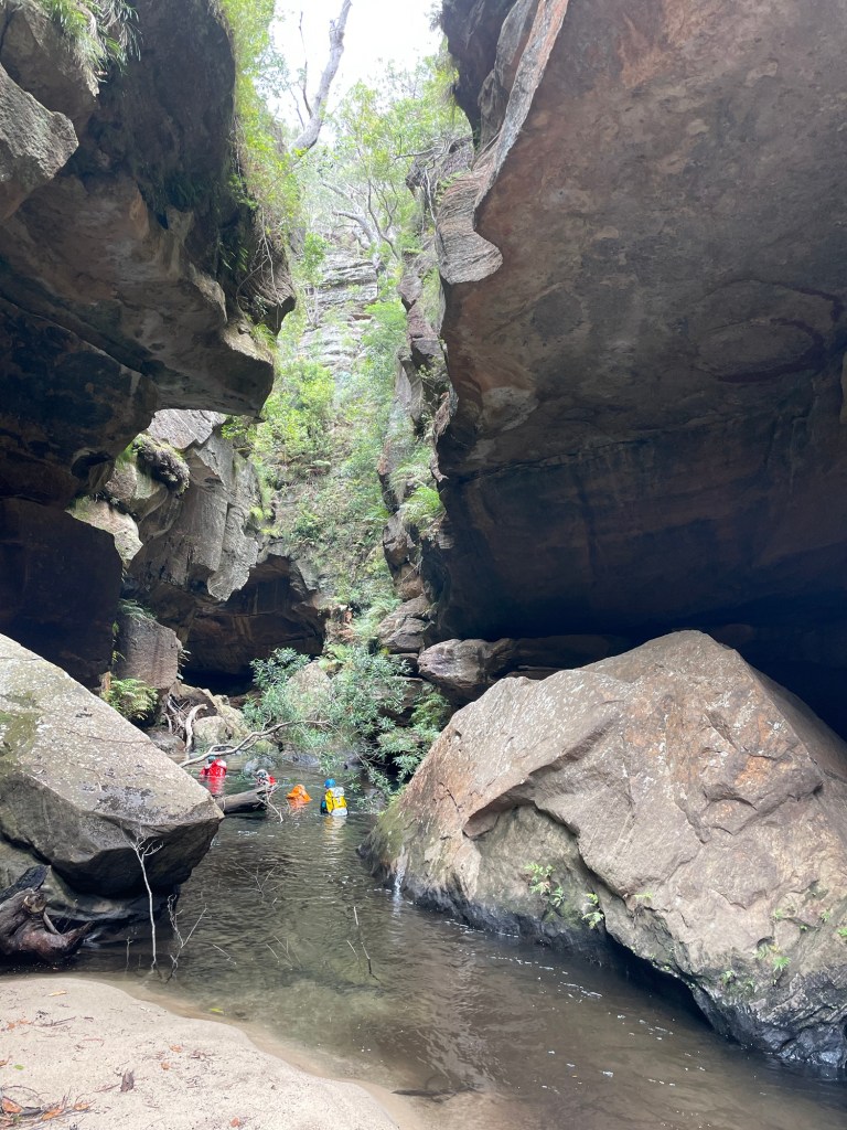
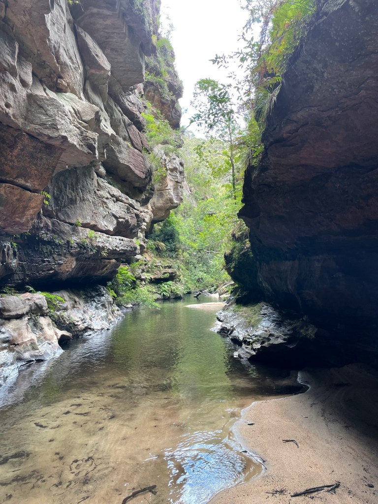
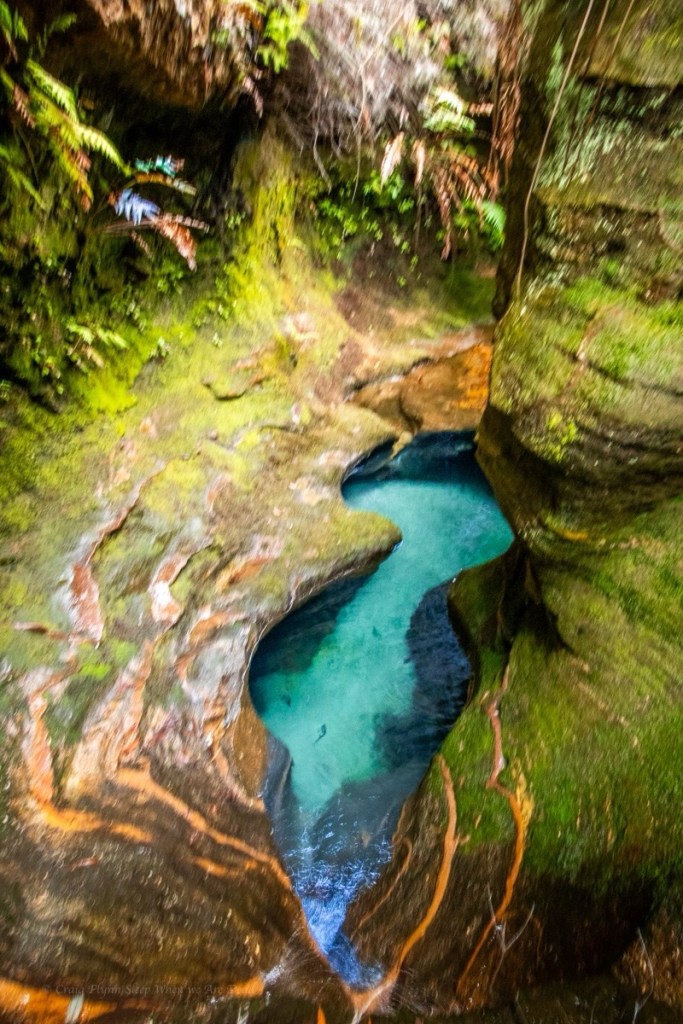
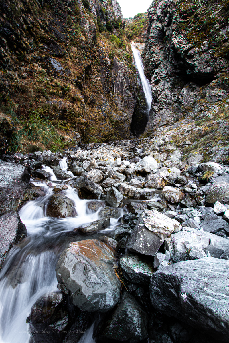
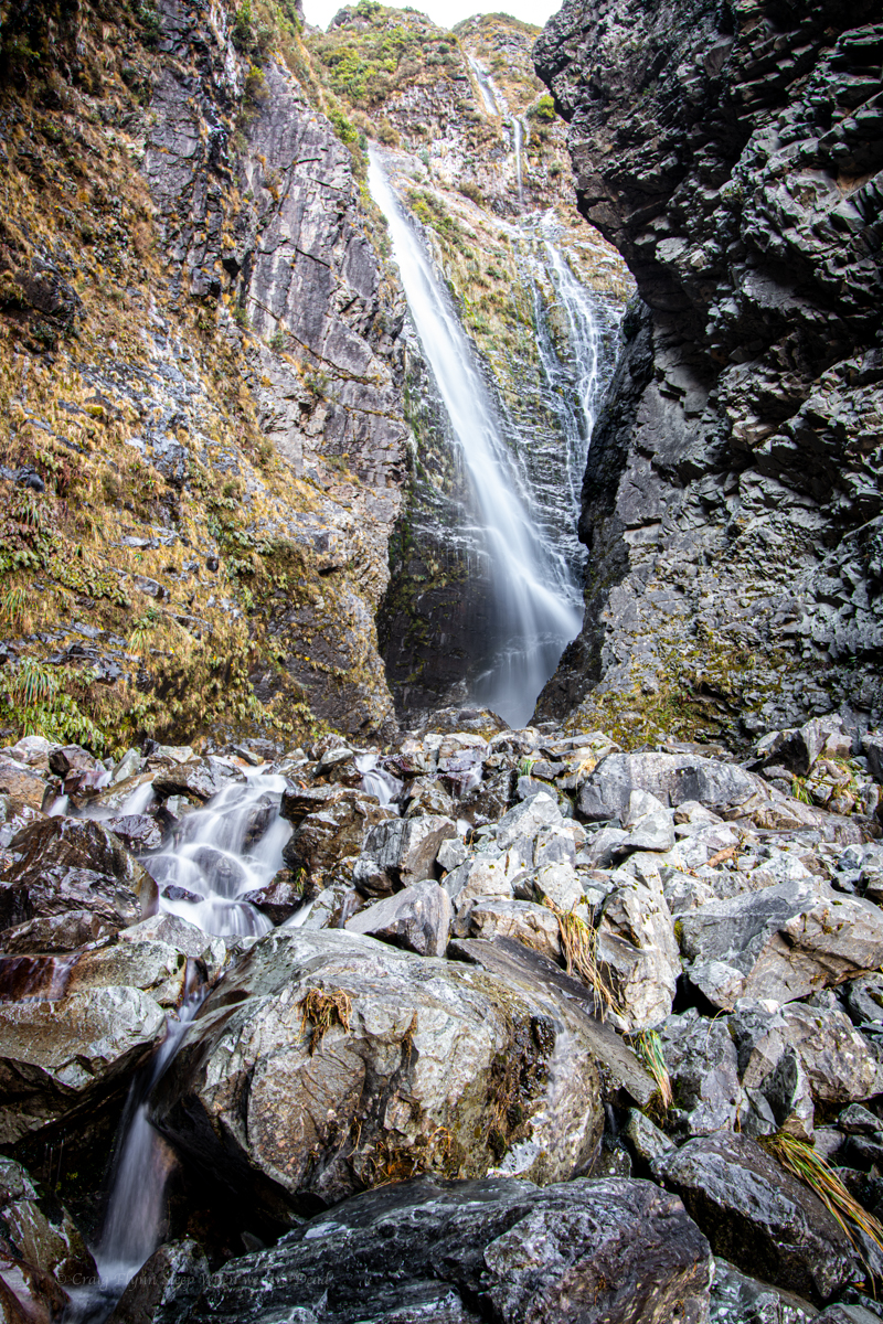
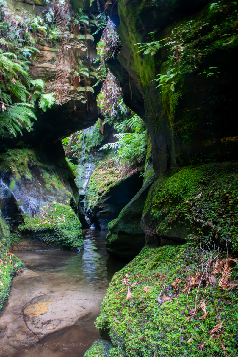
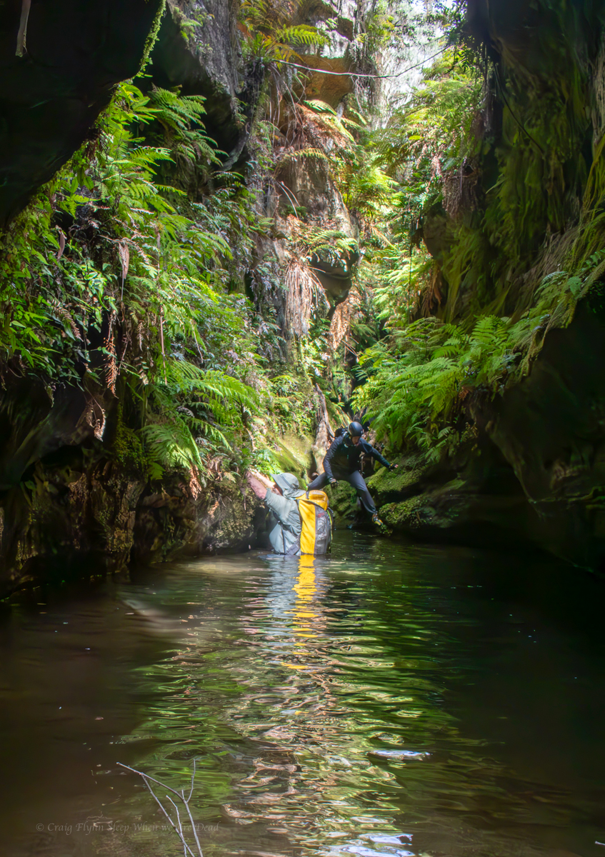
A short hop skip and a jump down stream and we arrive at what we are here for.
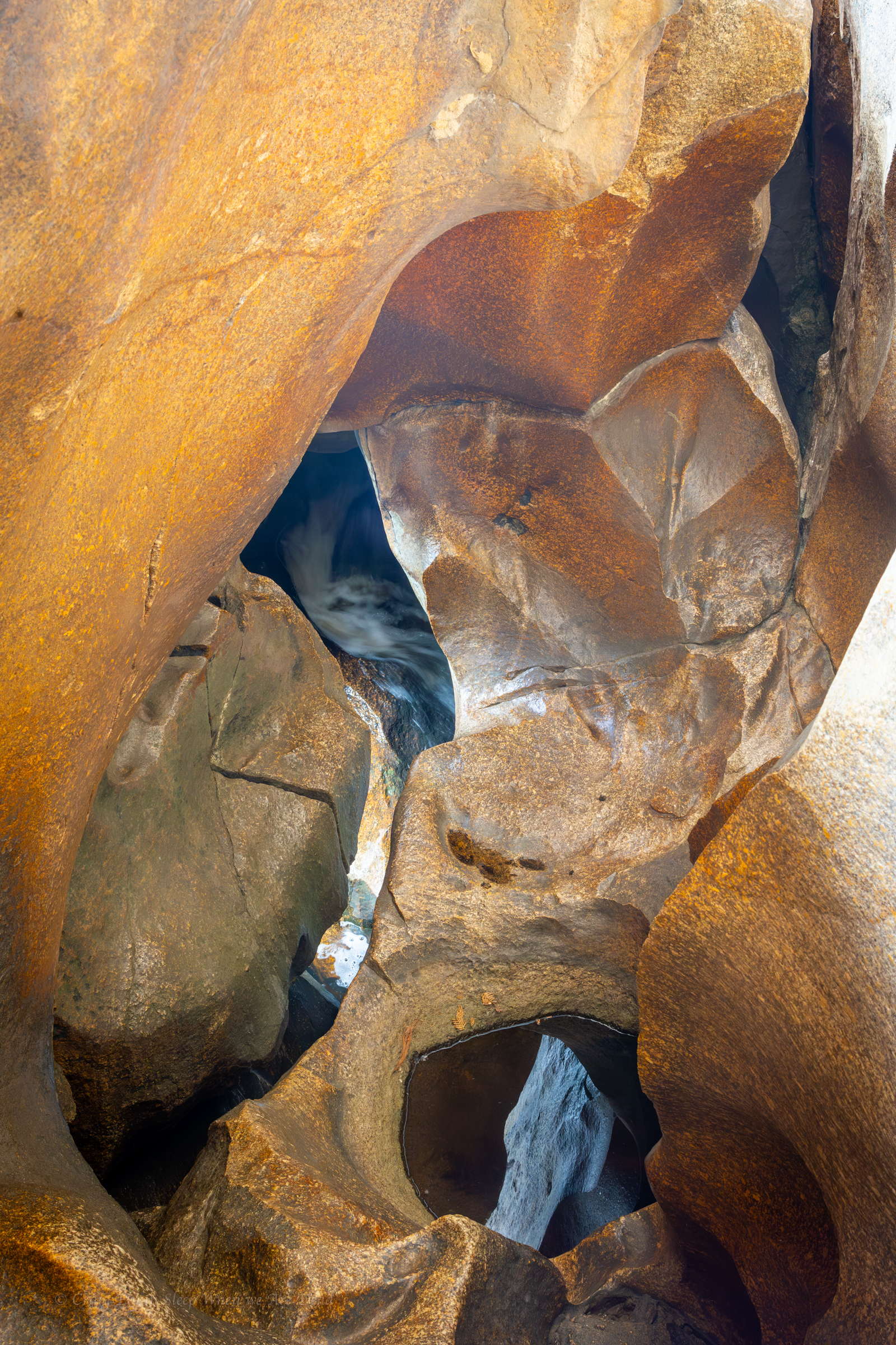
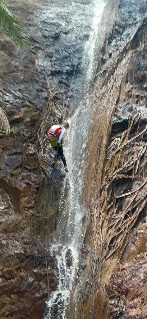
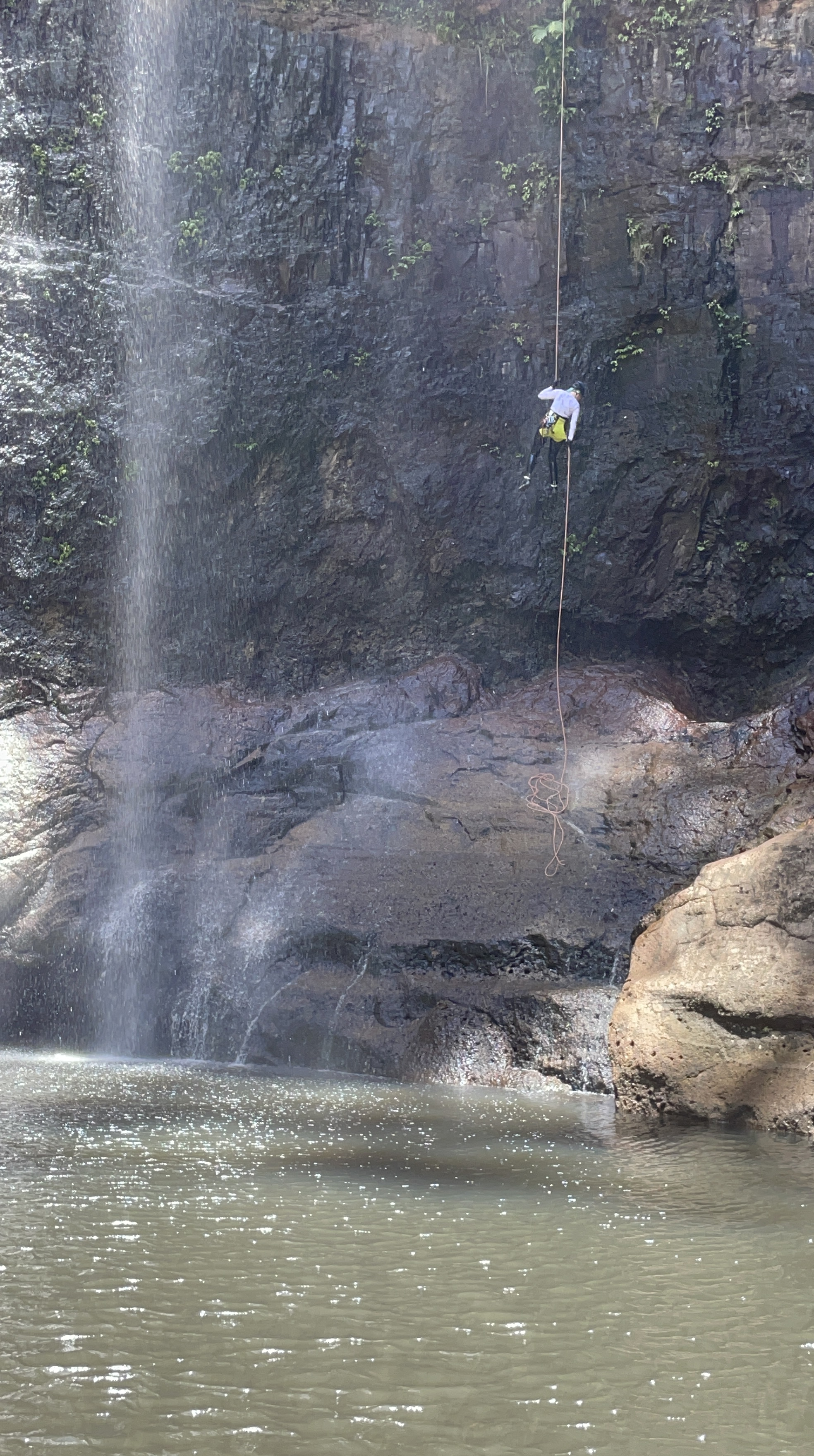
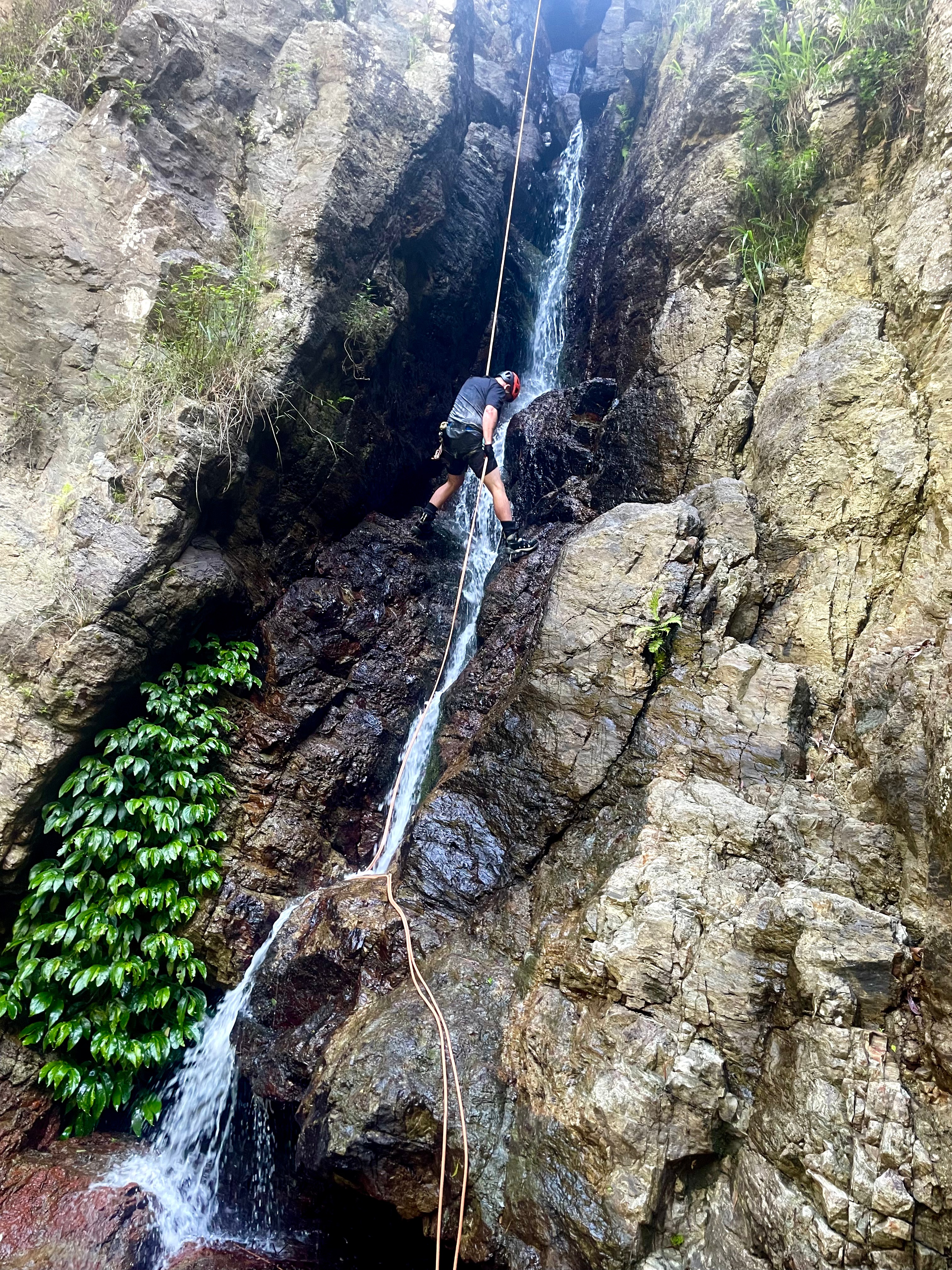
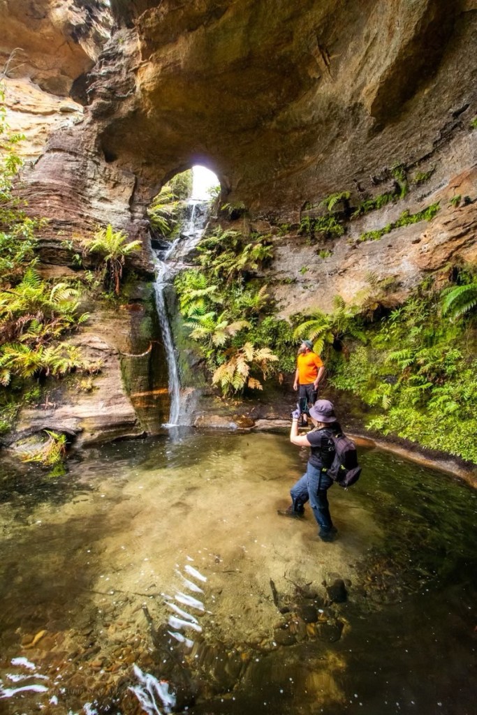
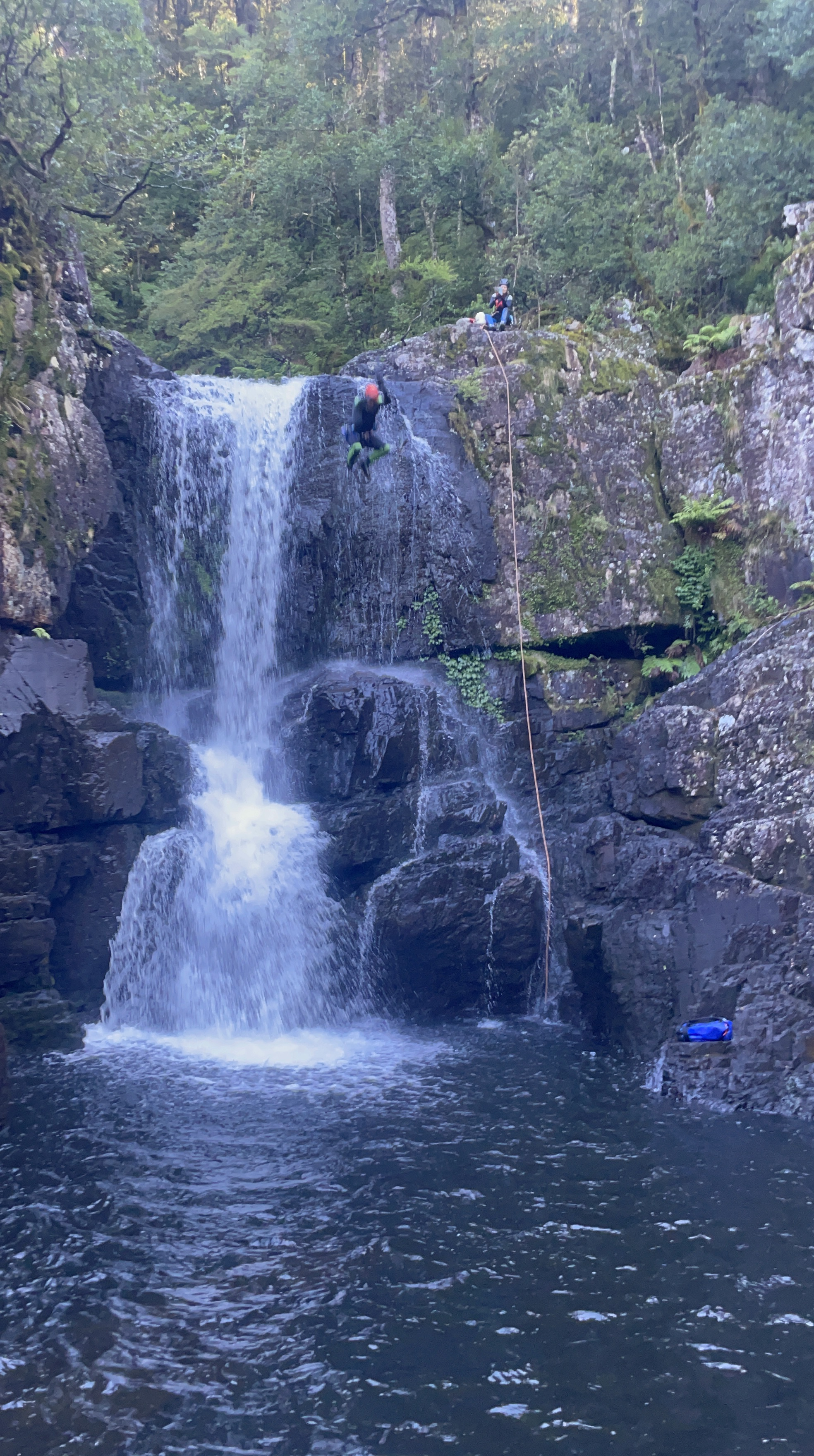
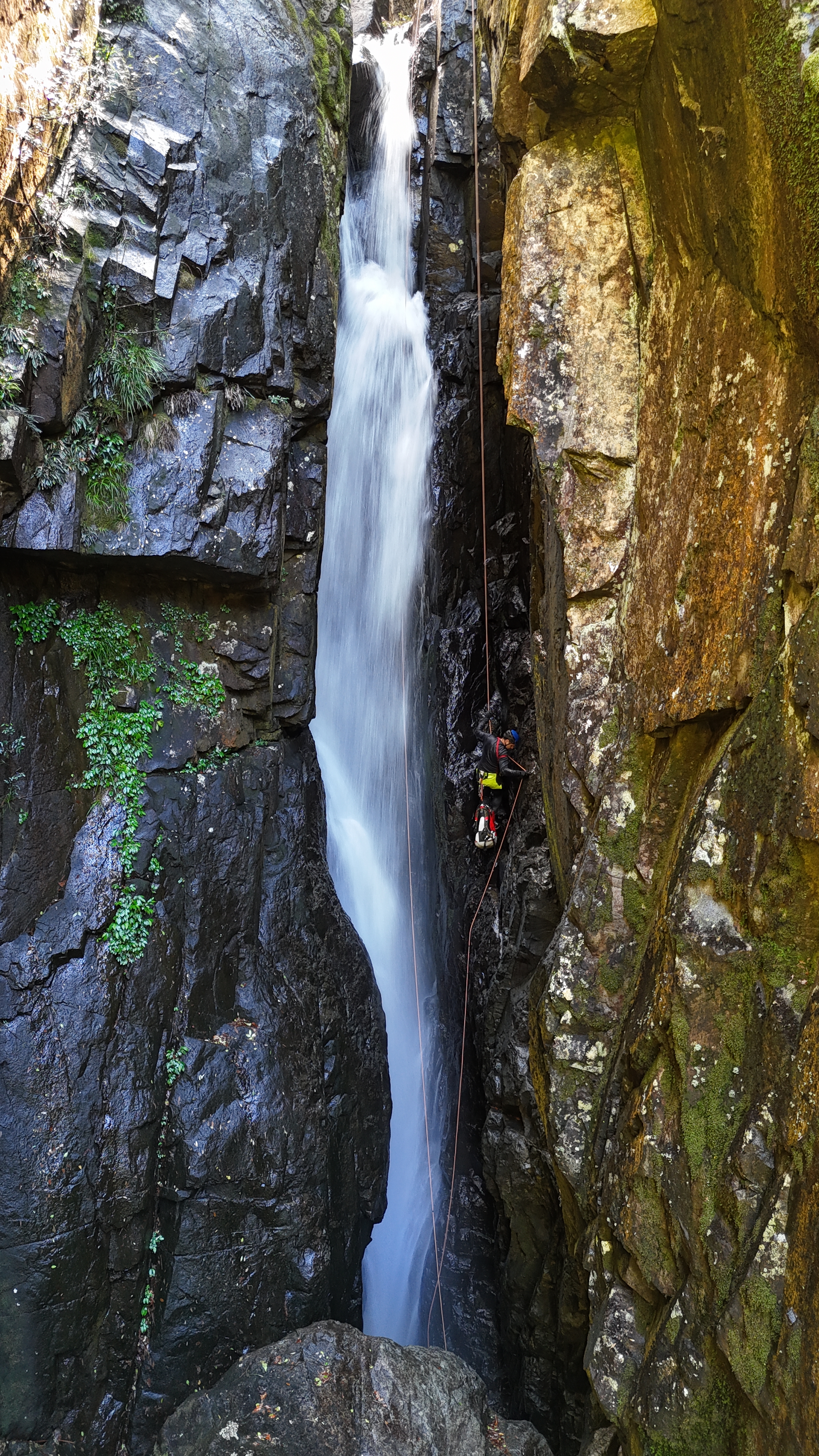
The Famous chock stone abseil.
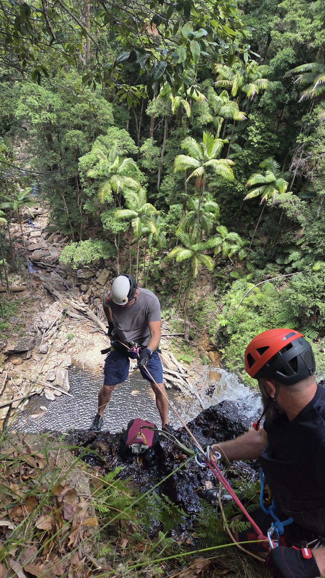
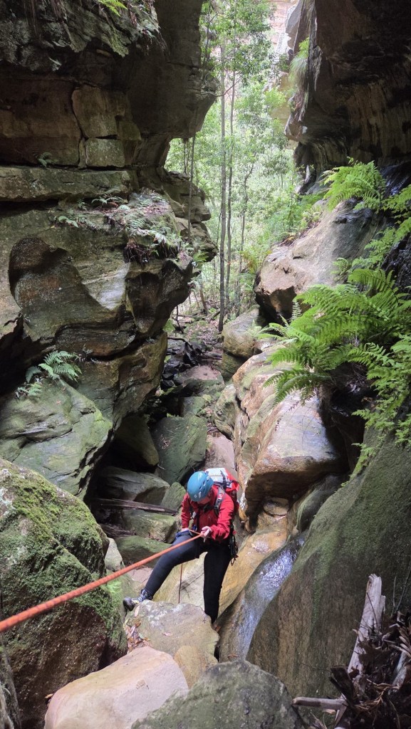
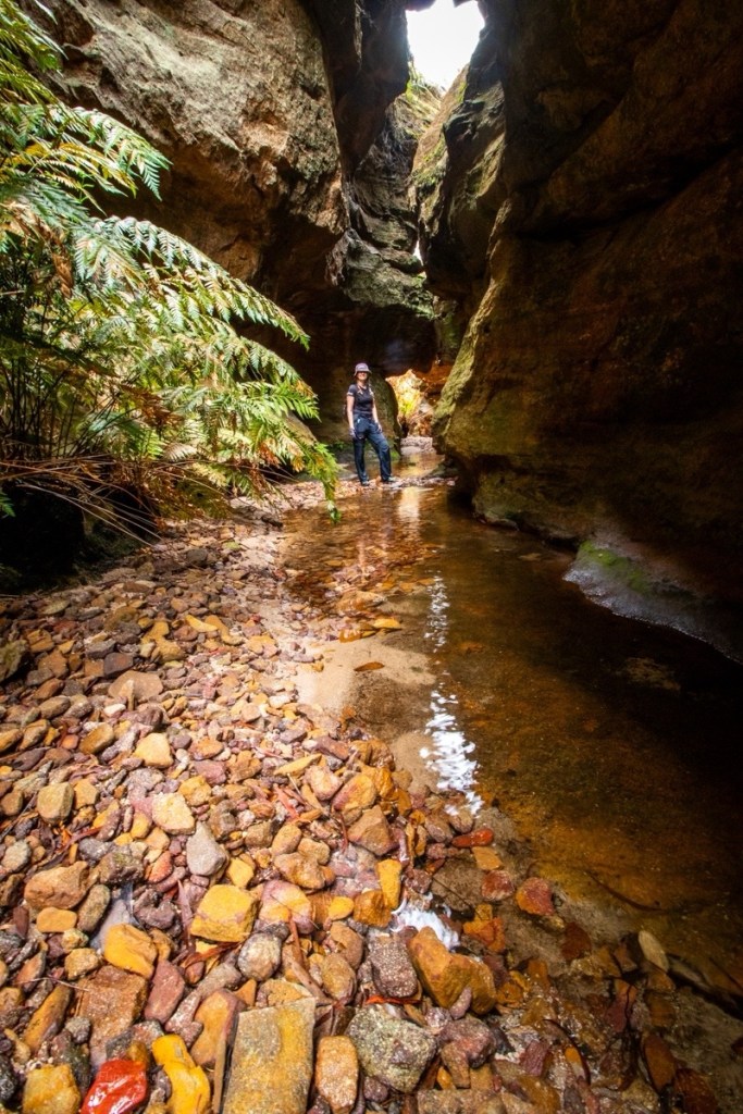
But to get there requires a short abseil and traverse
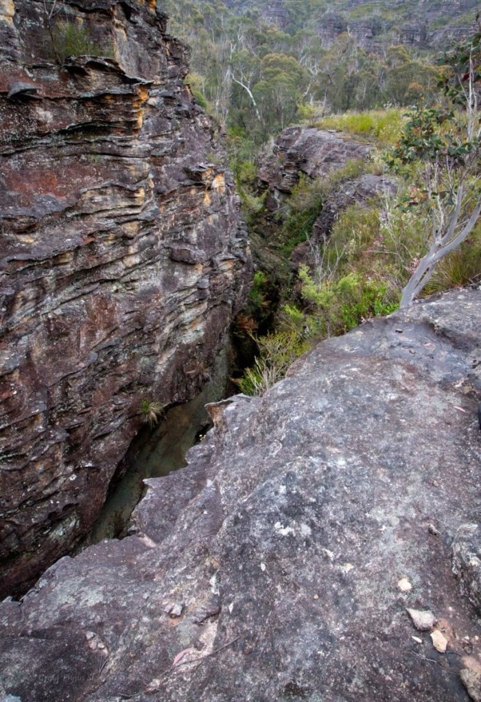
On their previous trips the water levels had been too high to attempt this one and there is the option to scramble out and do a dry line from high up just down stream of the chock stones.
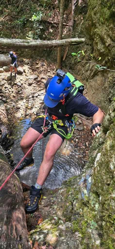
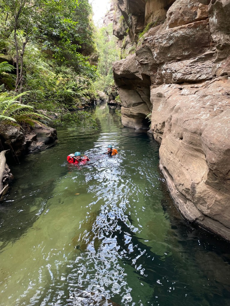
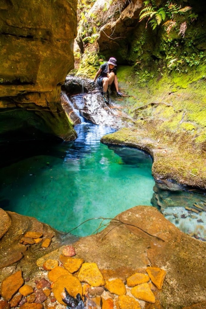
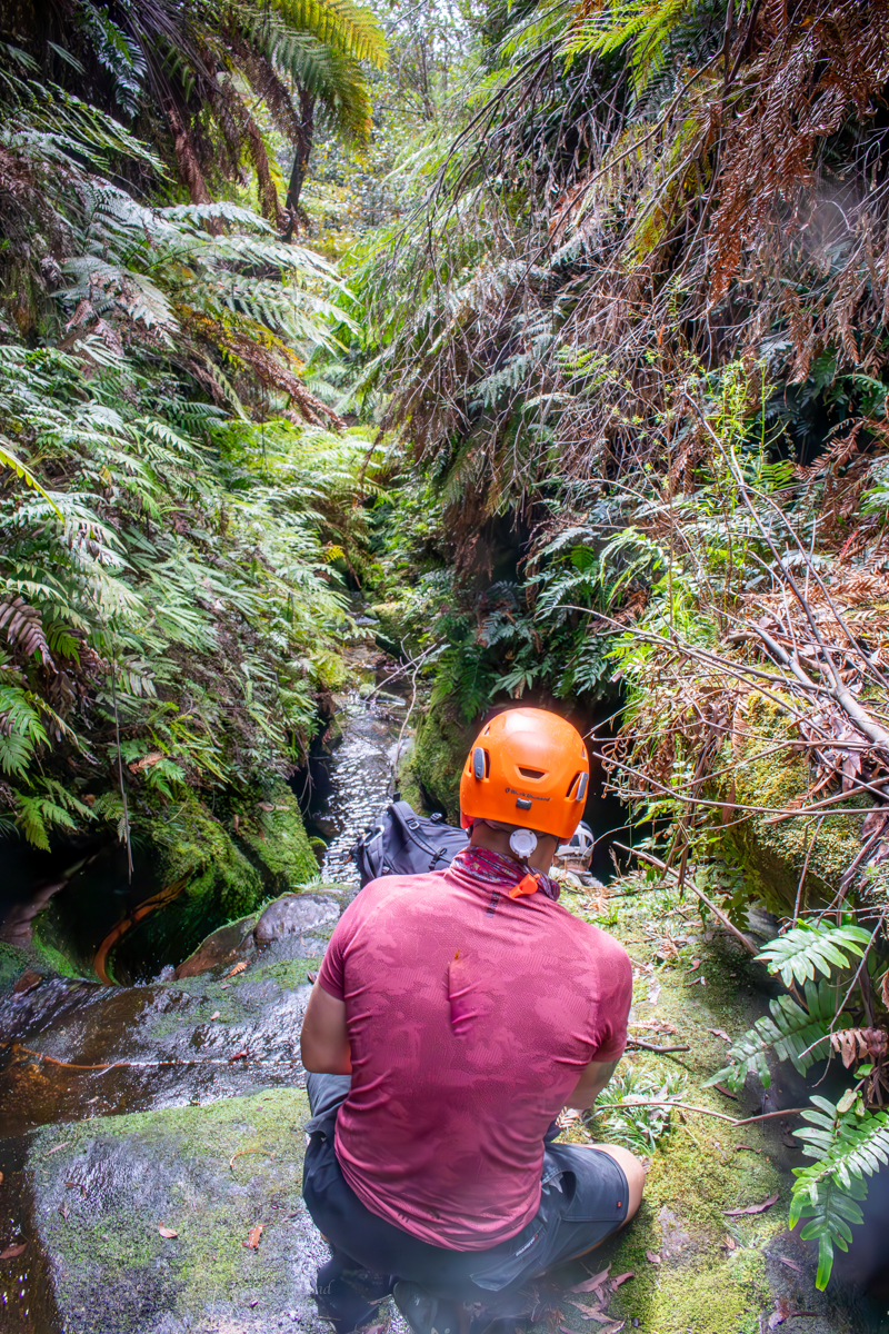
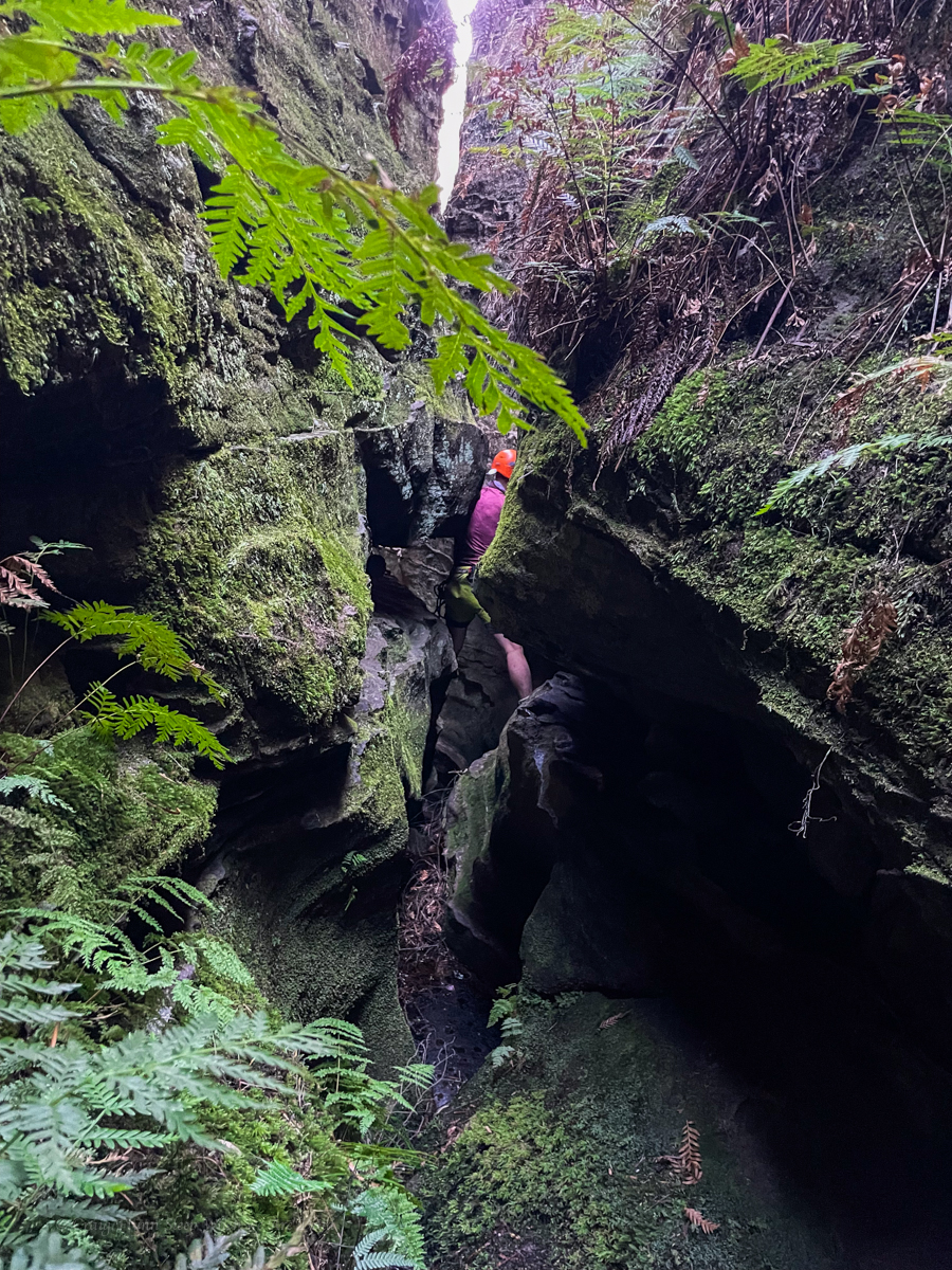
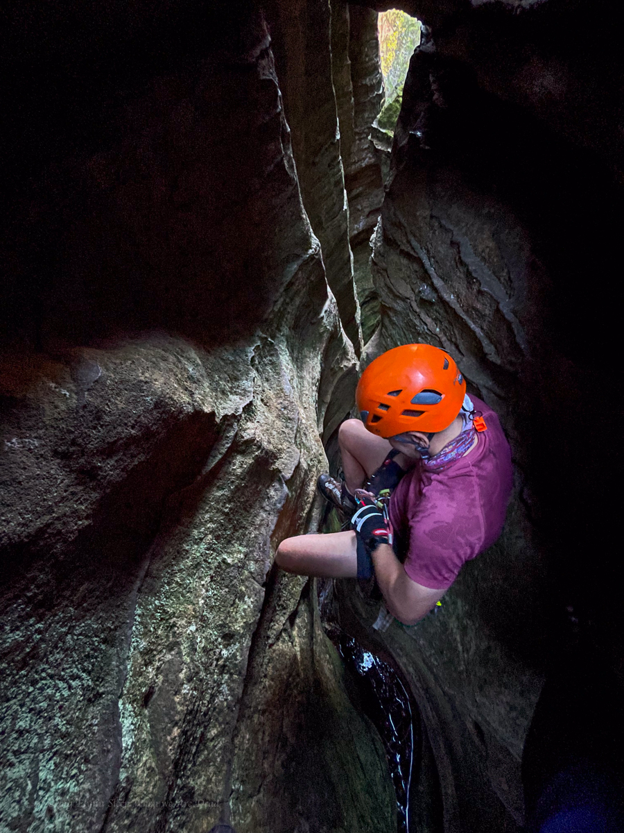
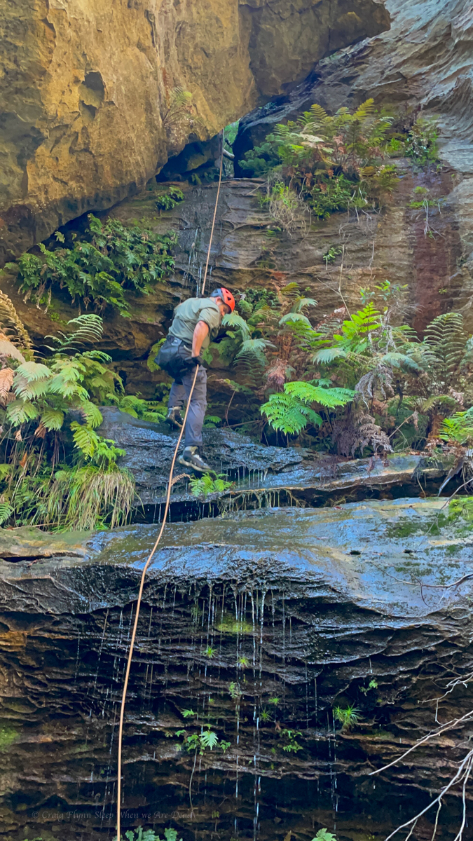
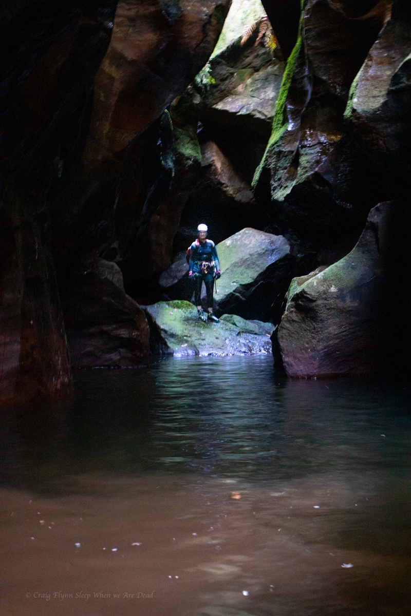
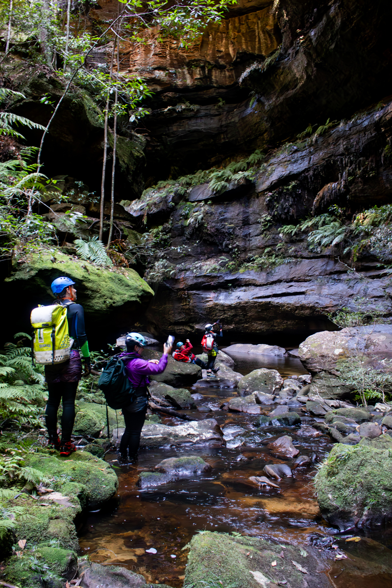
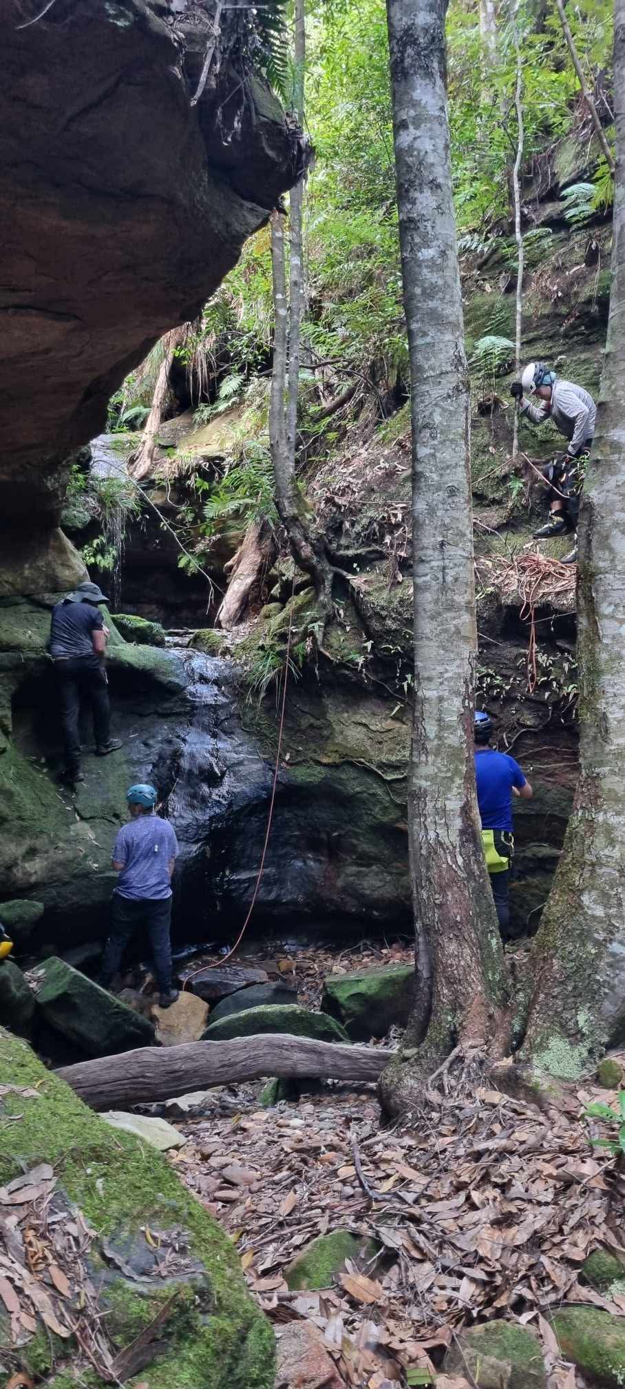
Conditions today however are perfect so Jason sets a line and I traverse out and set the main drop
There are two redirects in place on this drop. The first gets you out, away from a sloping ledge that forms just as the water funnels into a ferocious torrent, the second keeps you out of the hydraulic that form in high flow at the base. Jason sets them both for us to follow
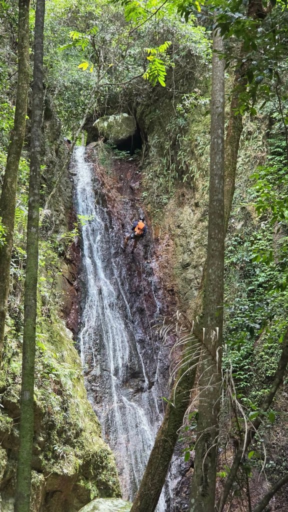
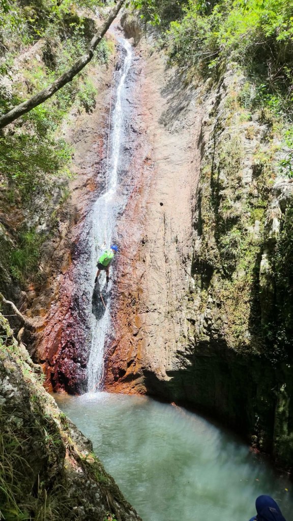
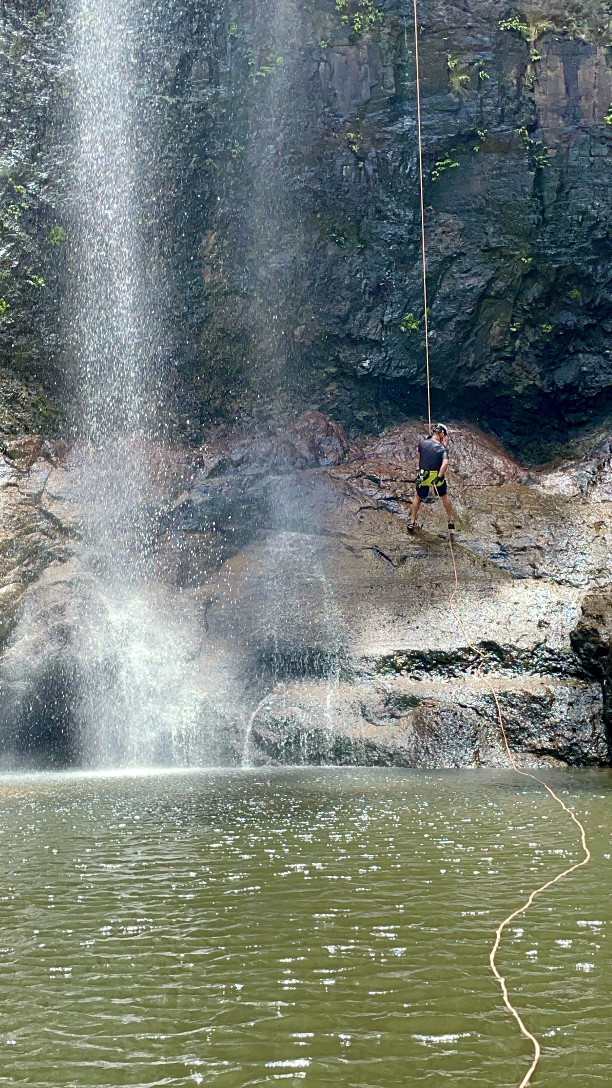
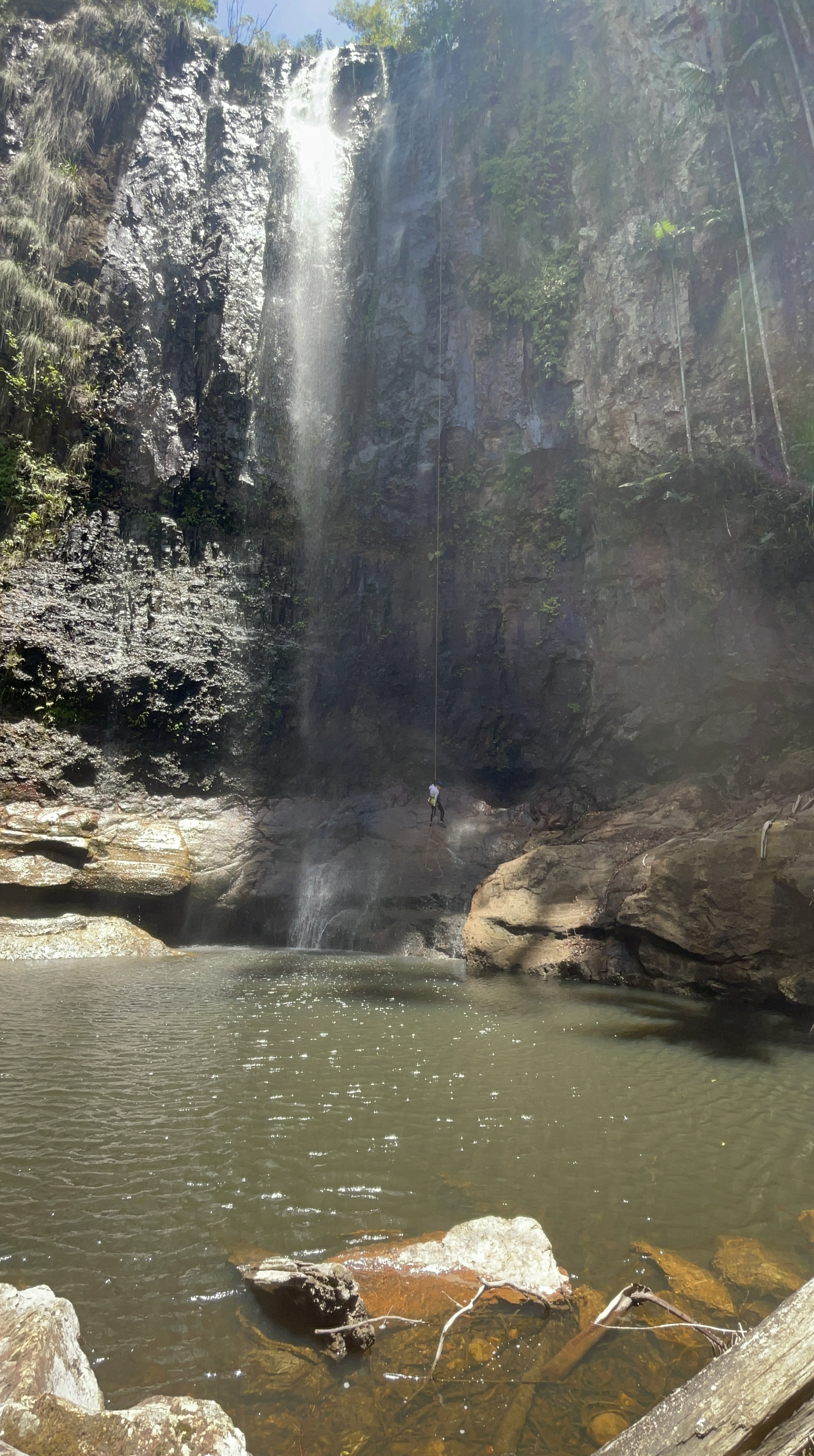
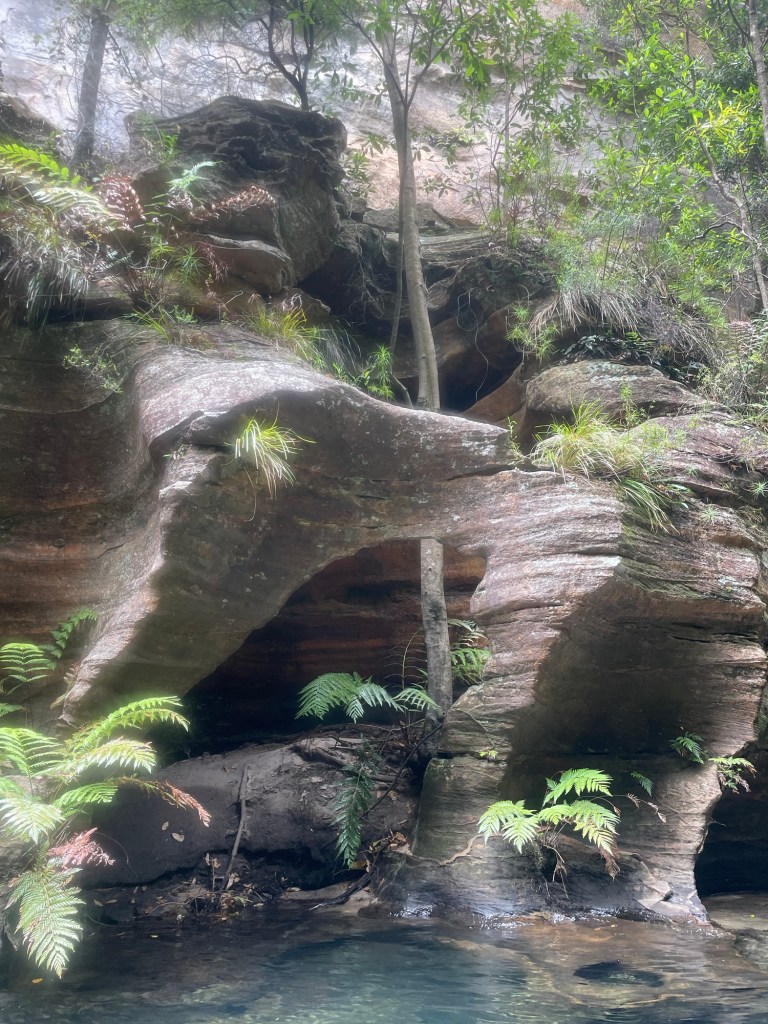
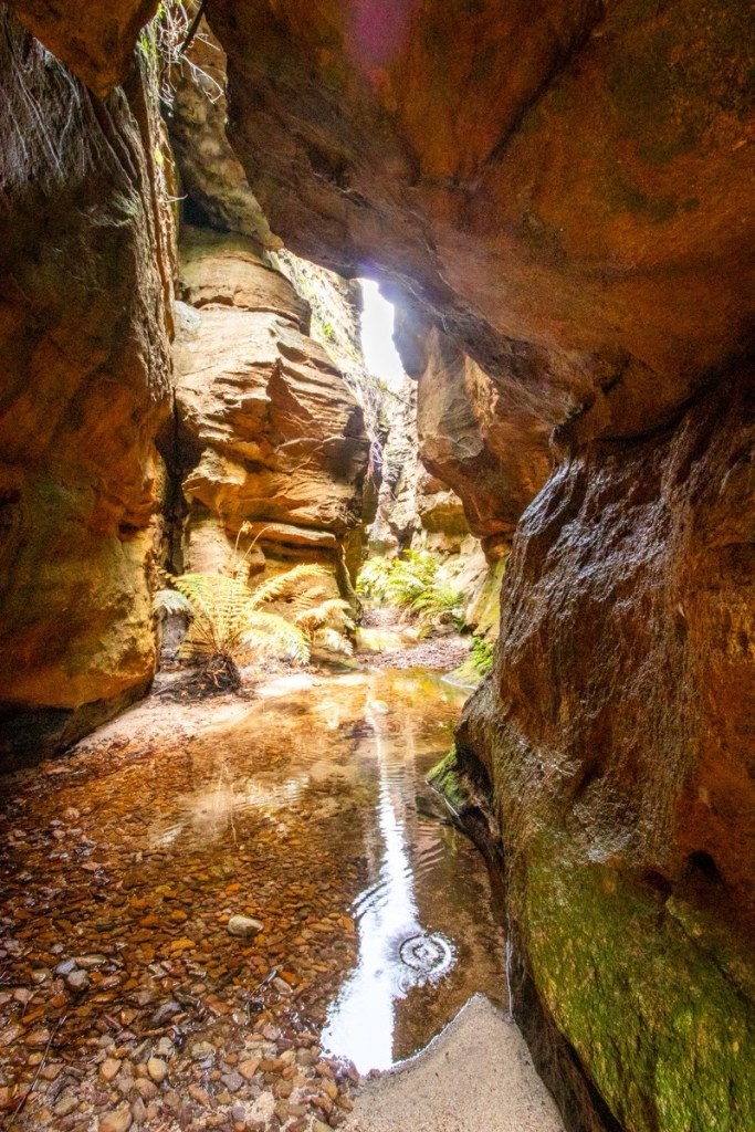
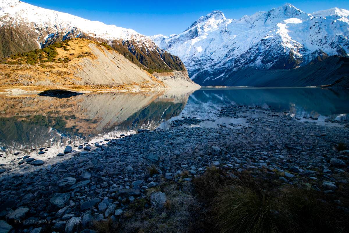
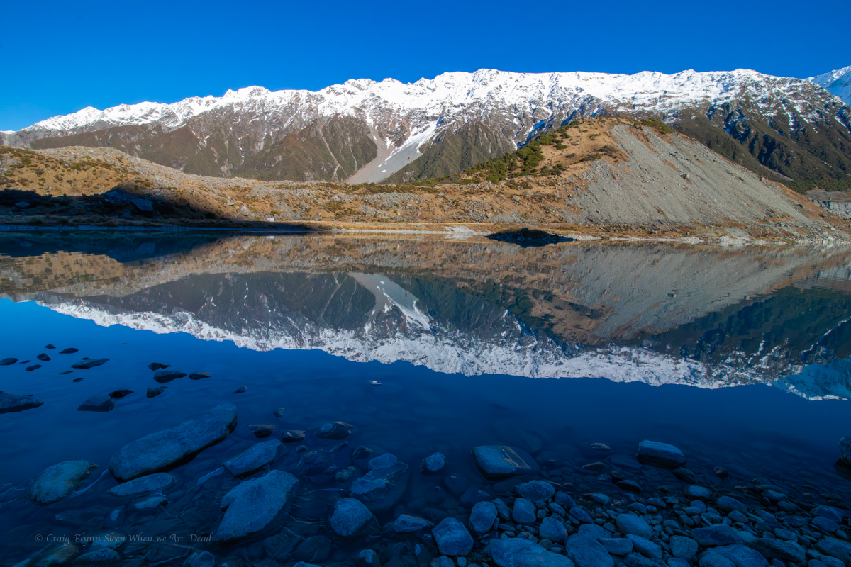
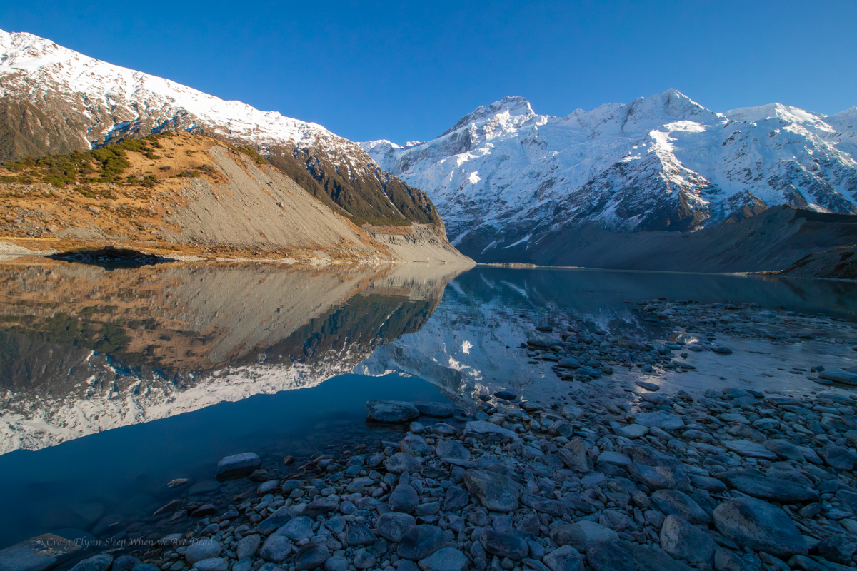
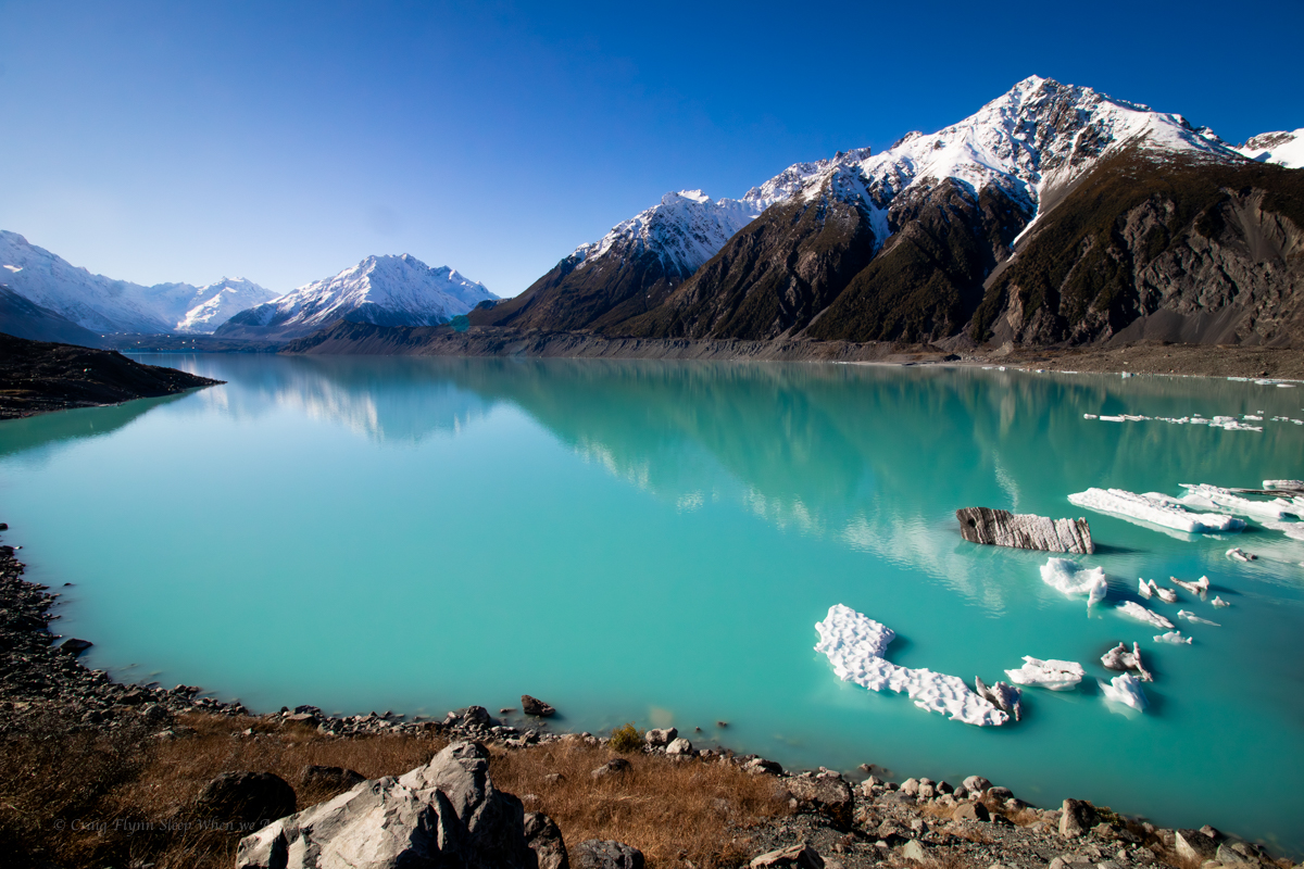
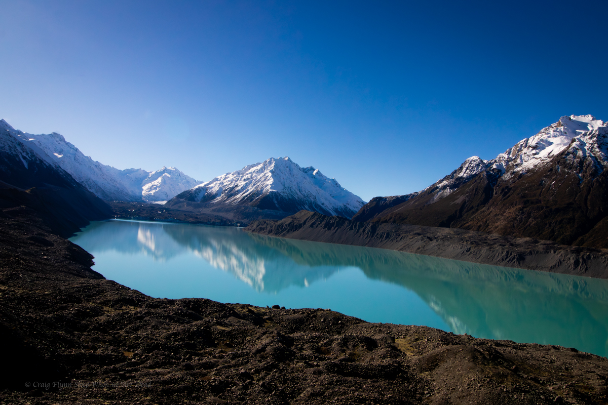
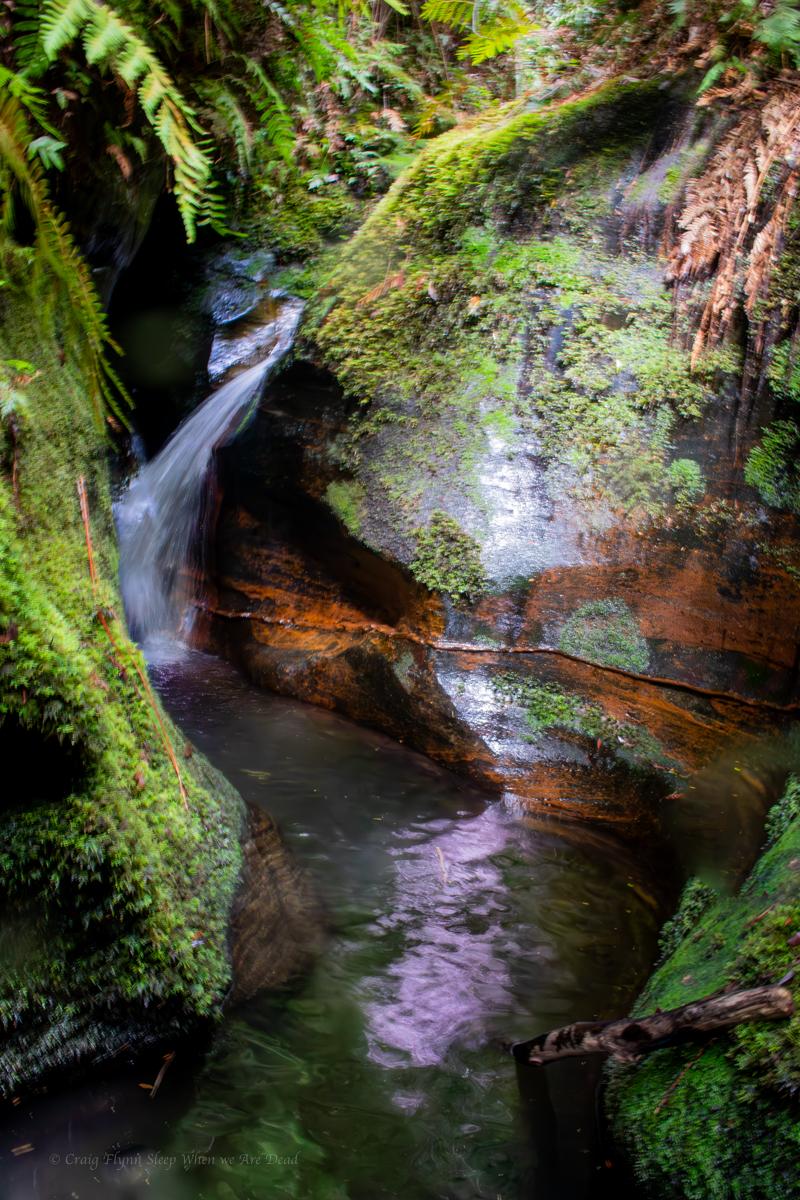
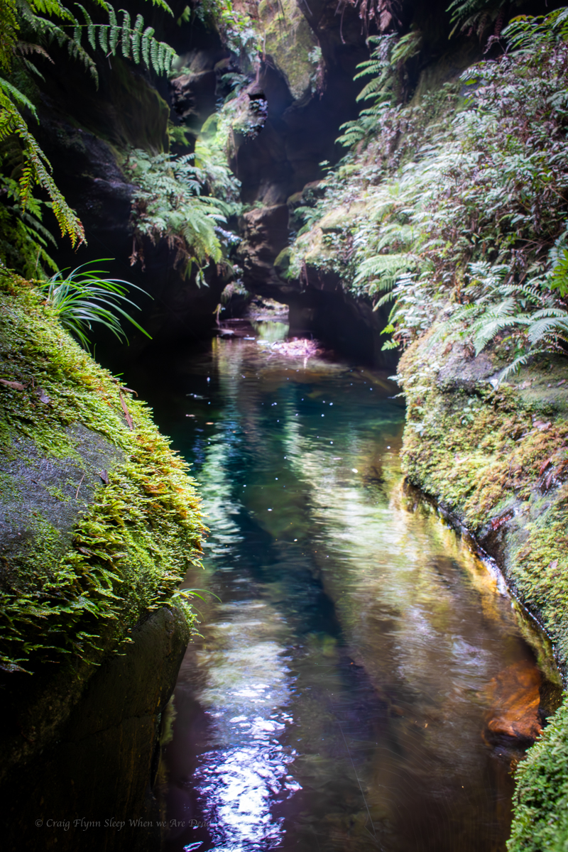
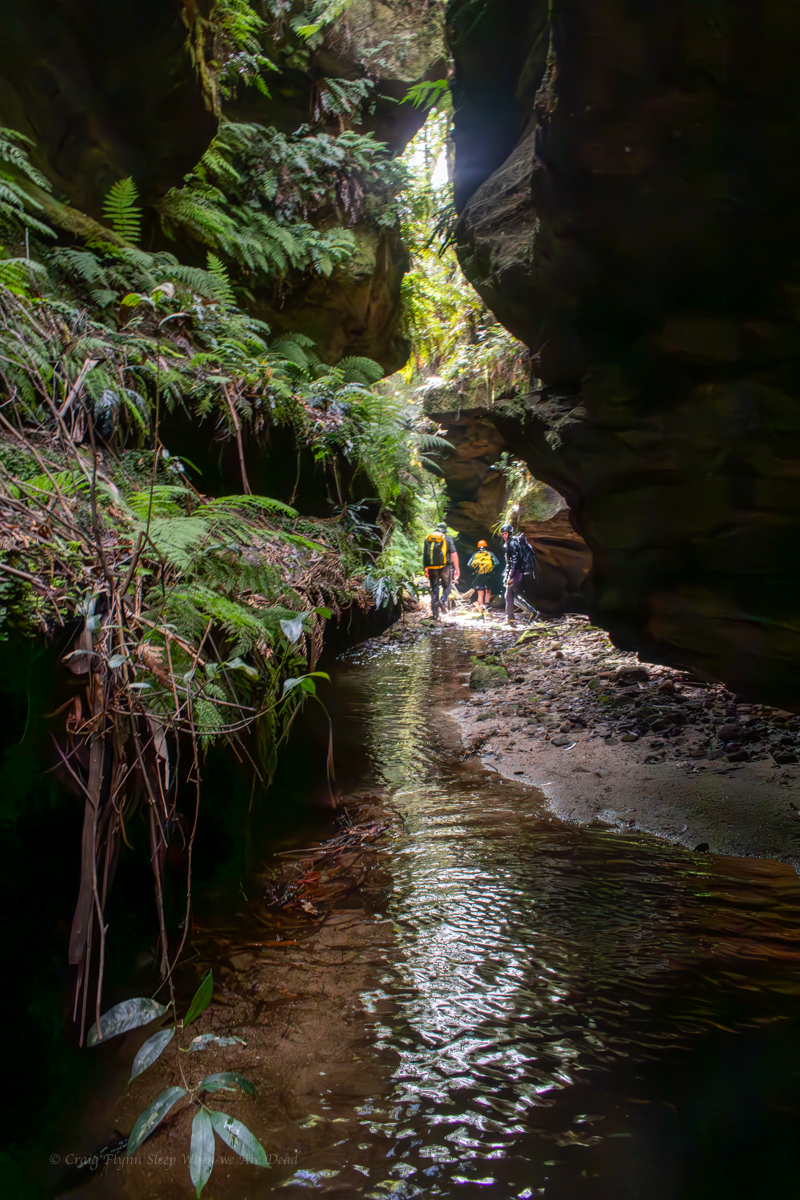
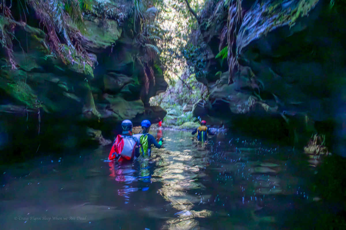
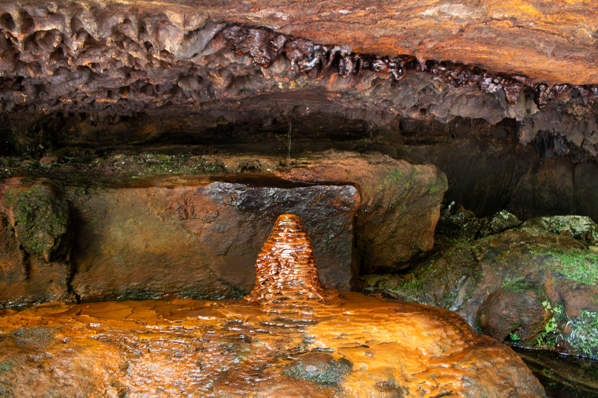
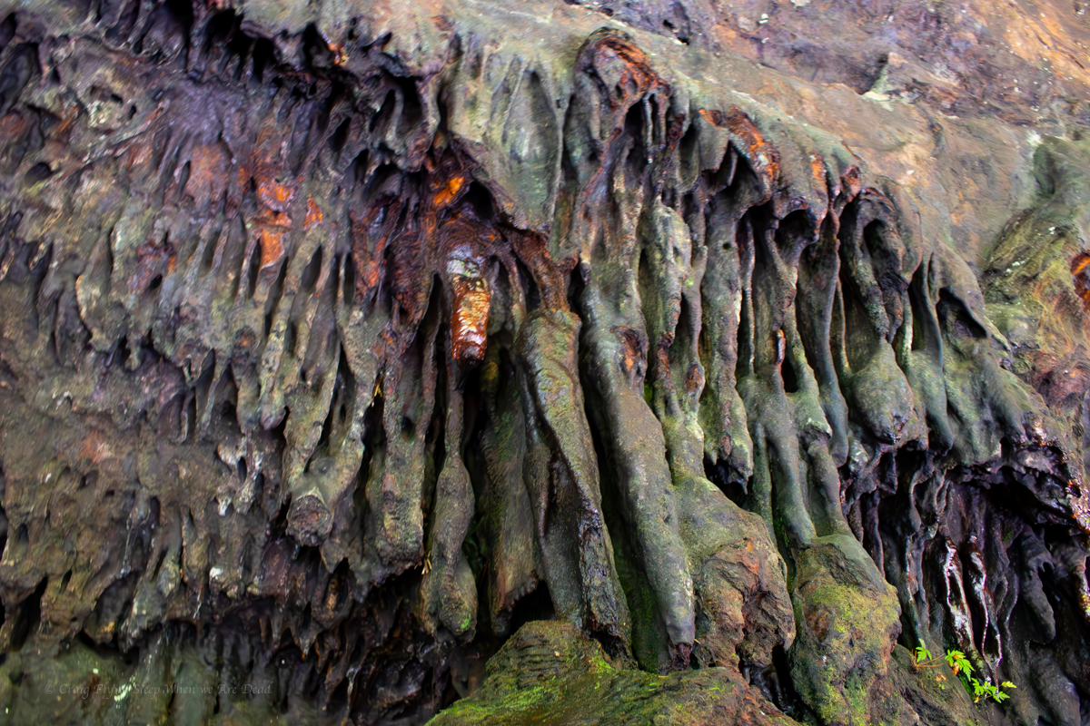
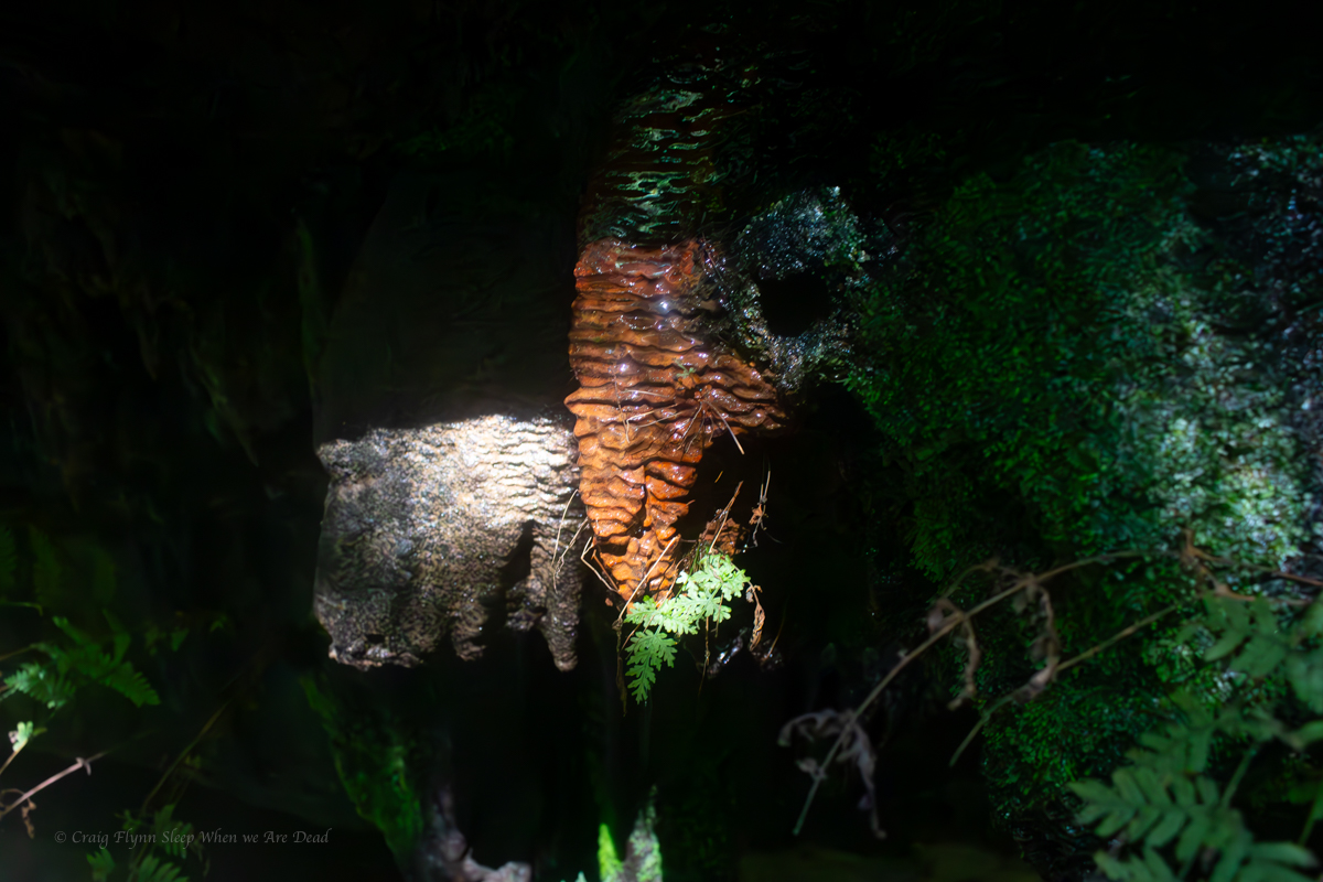
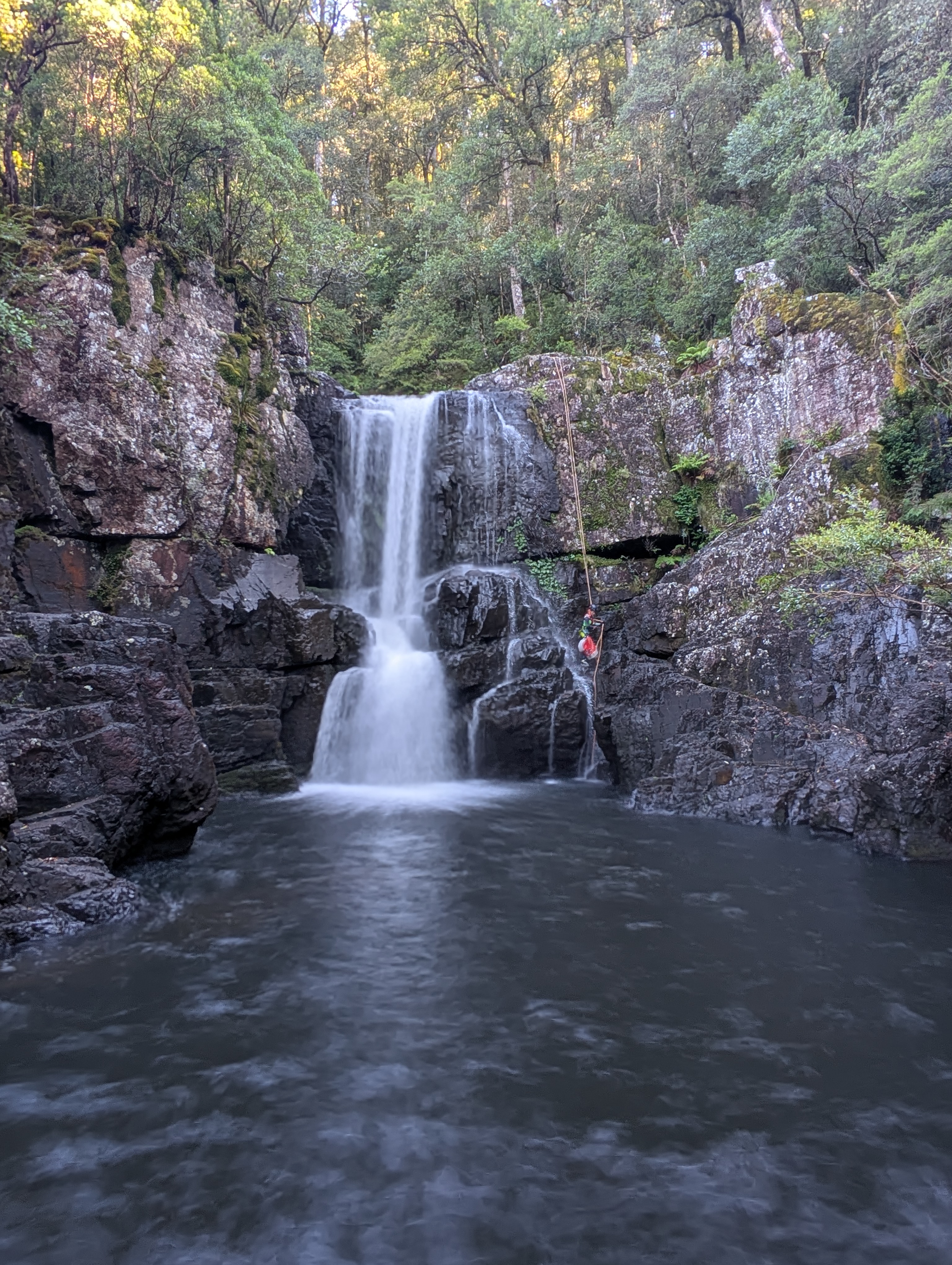
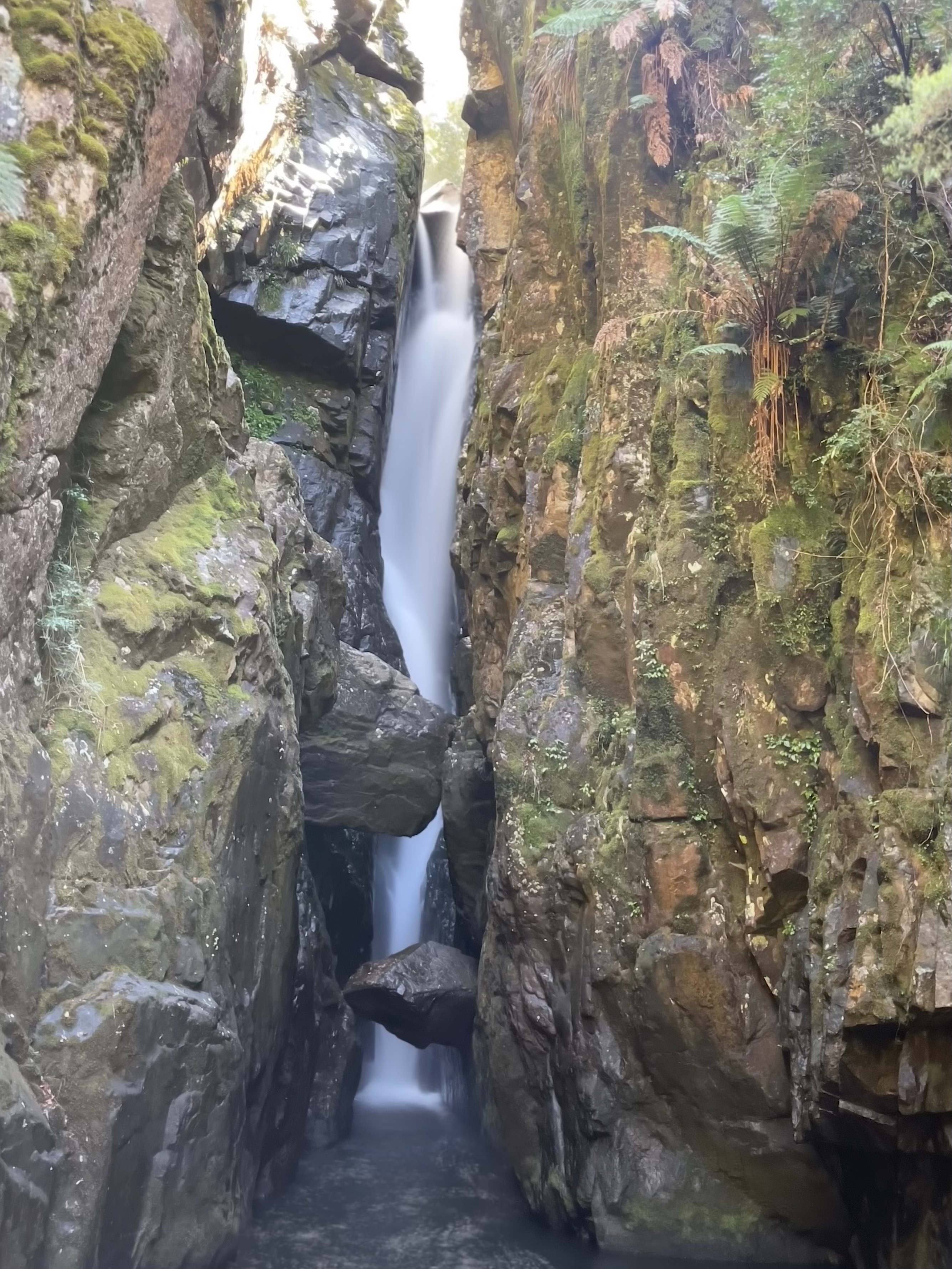
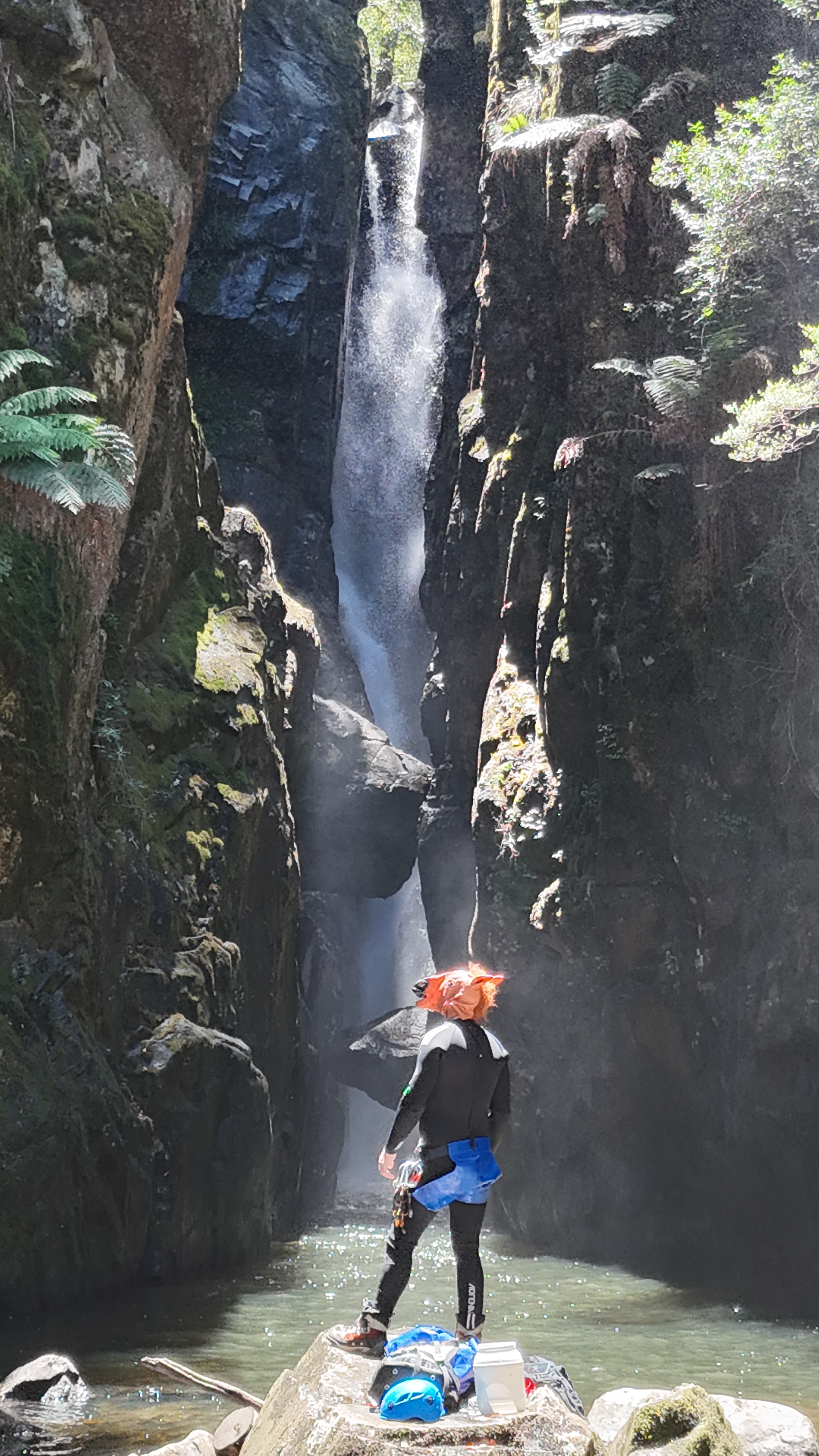
it’s a stunningly beautiful waterfall.
And the view back up tp it from just downstream is iconic
It was still early in the day. We were tossing up the idea of continuing downstream and completing the lower section. Jason had done it before and thought it was interesting.
The other option was to play around here.
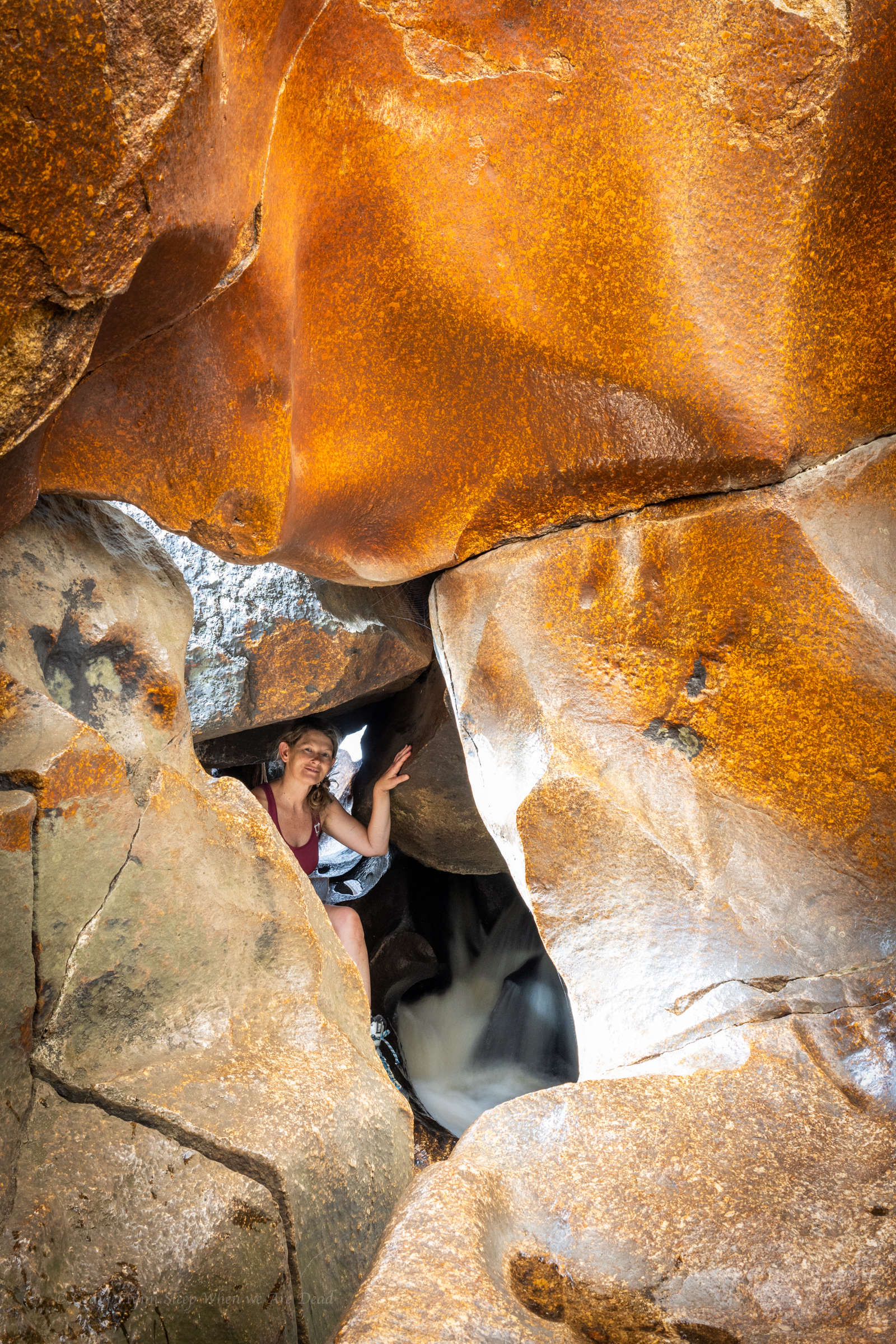
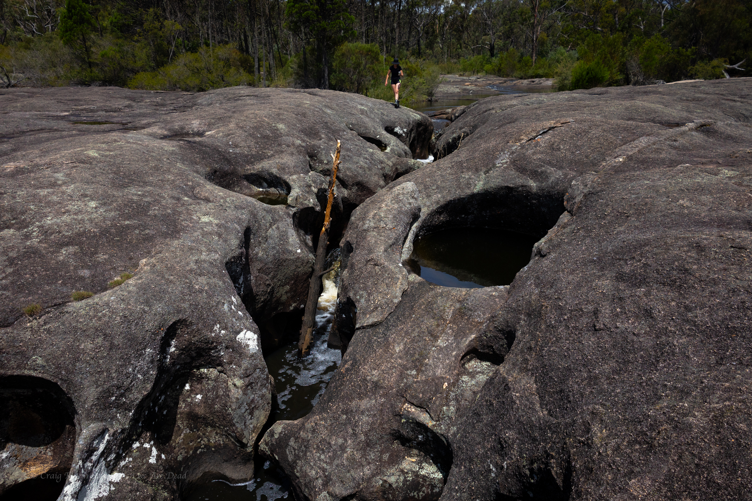
It would be cool to get on top of the chock stone say Wisey.
There is the dry line option, said some one.
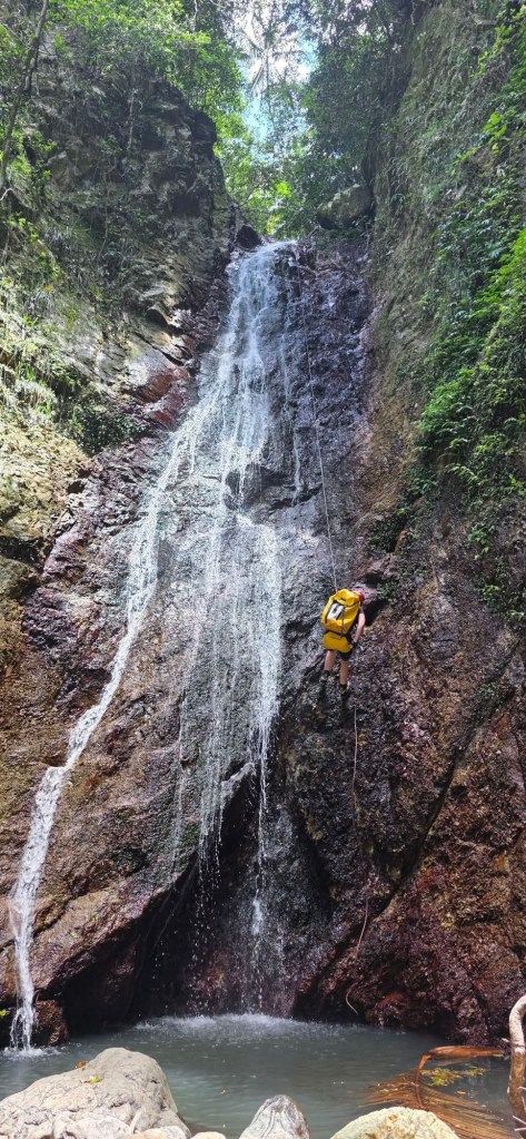
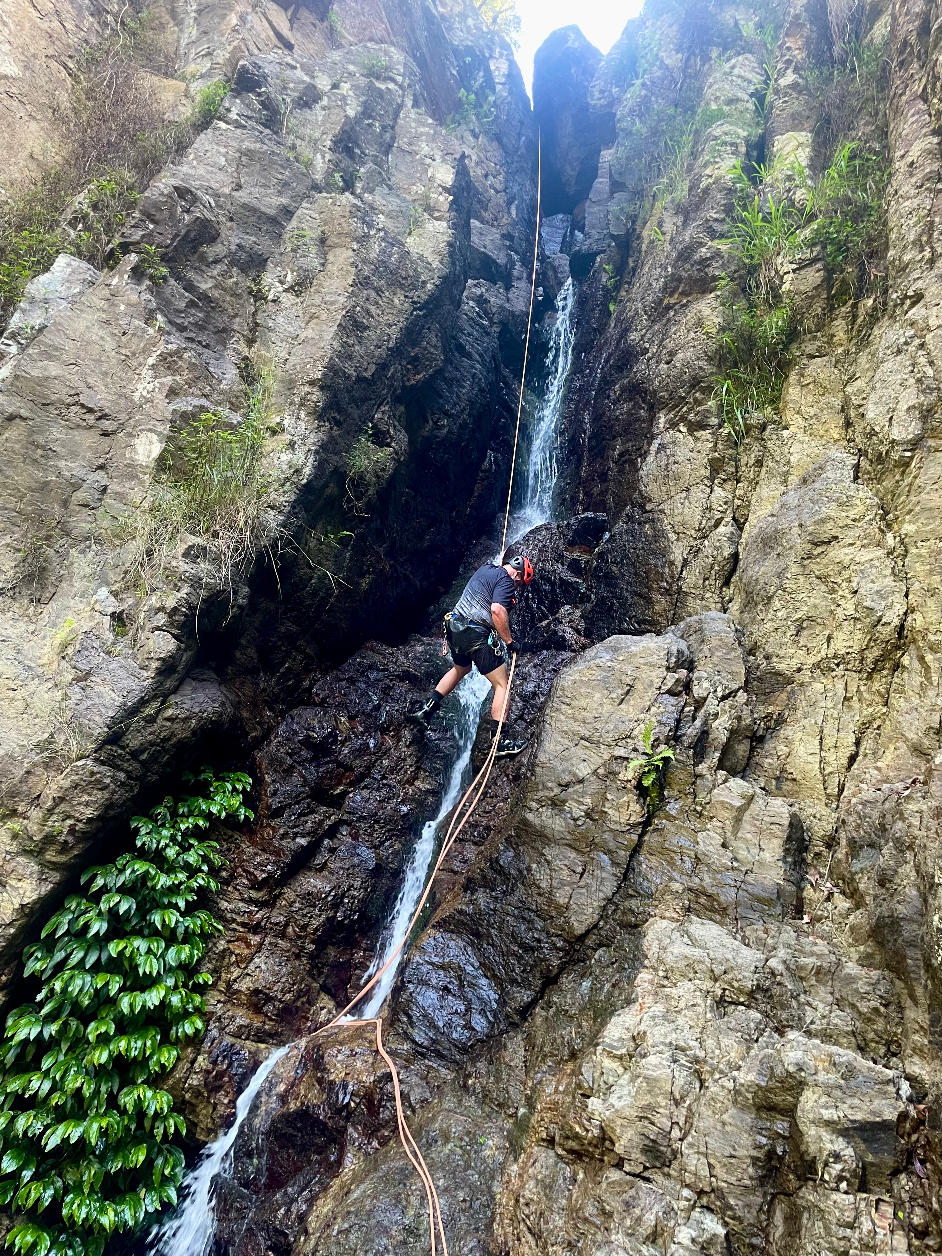
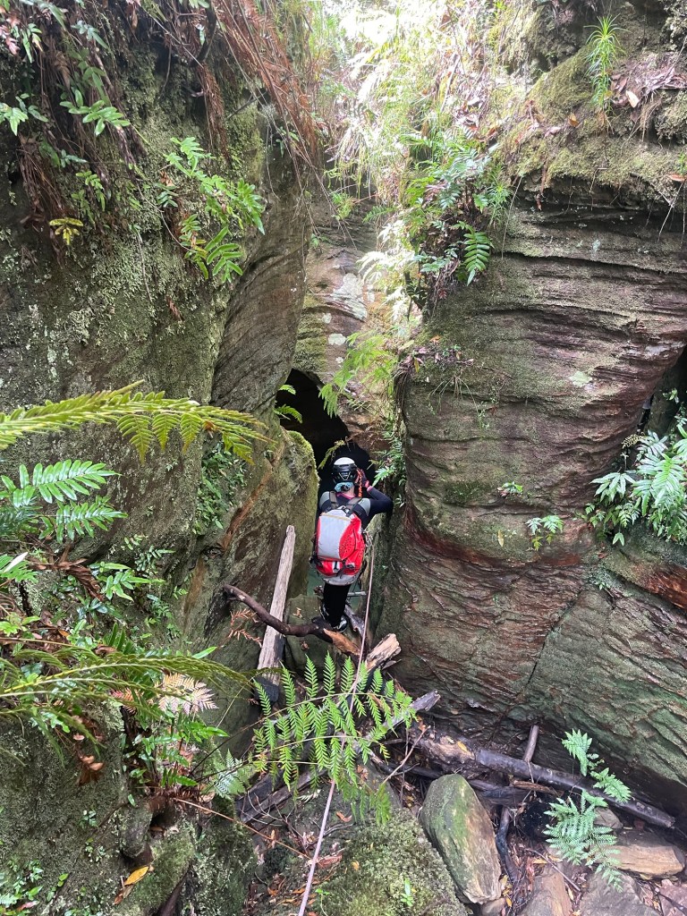
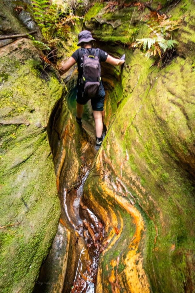
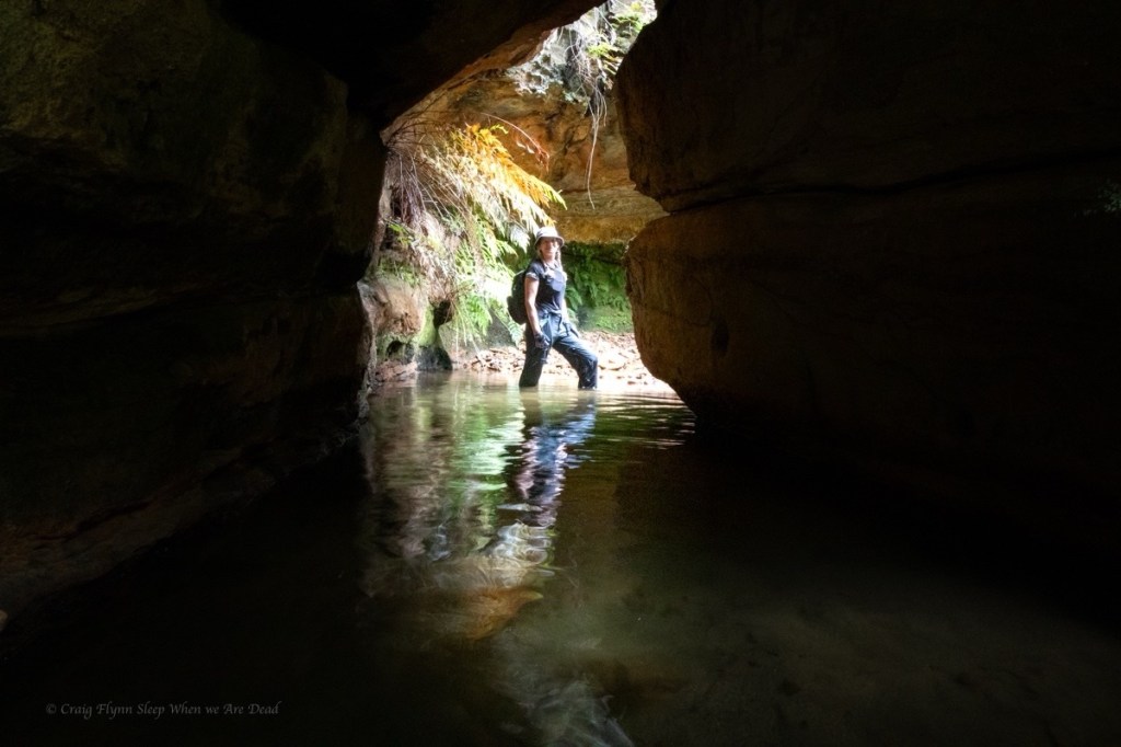
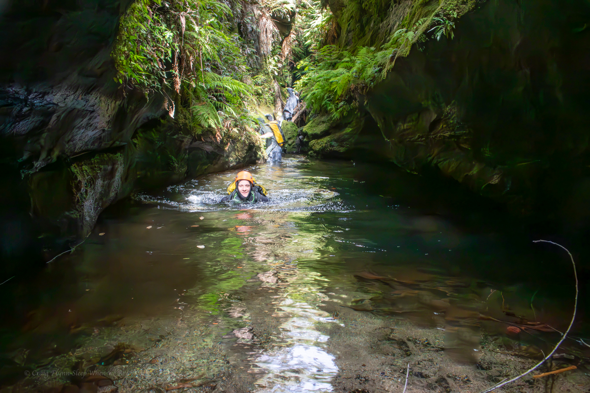
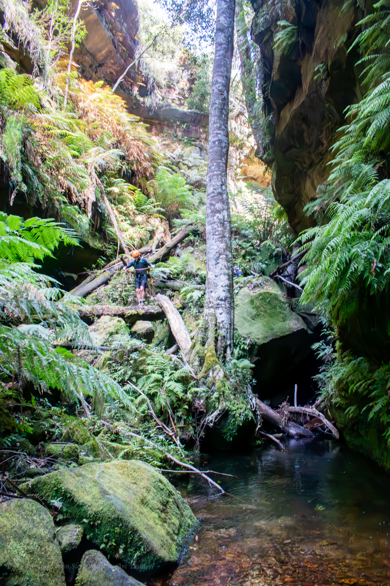
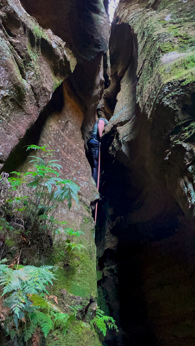
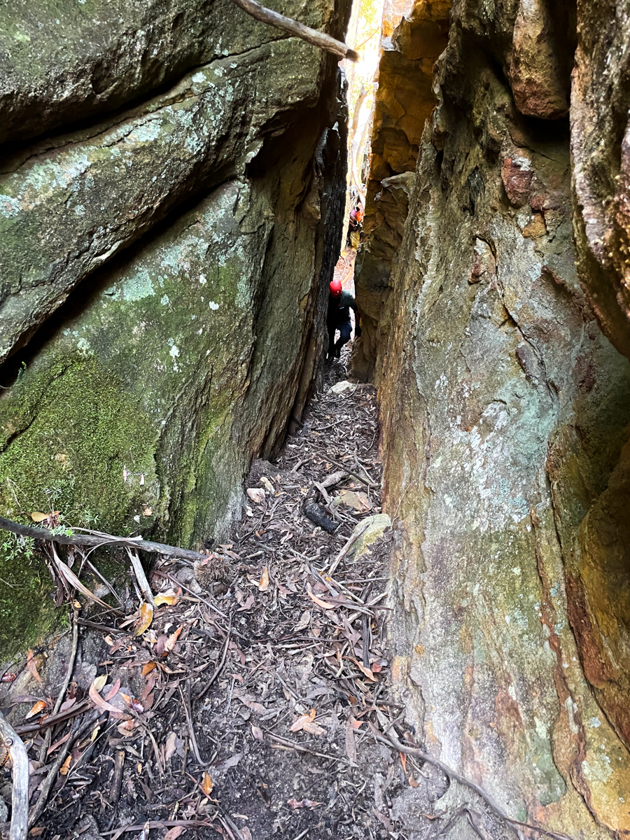
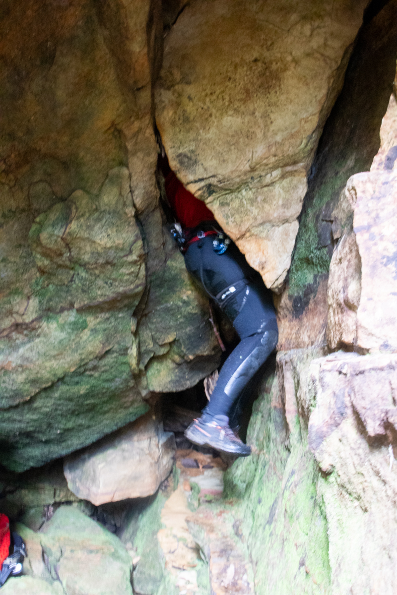
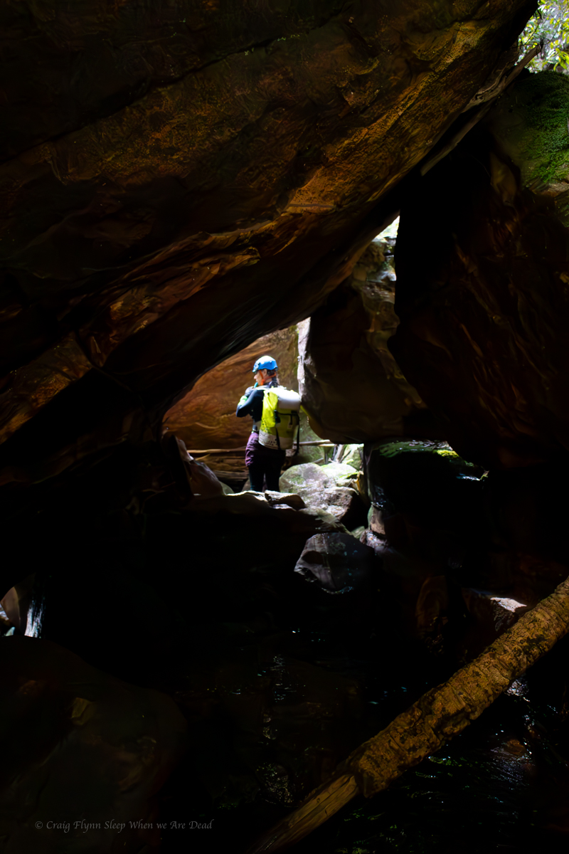
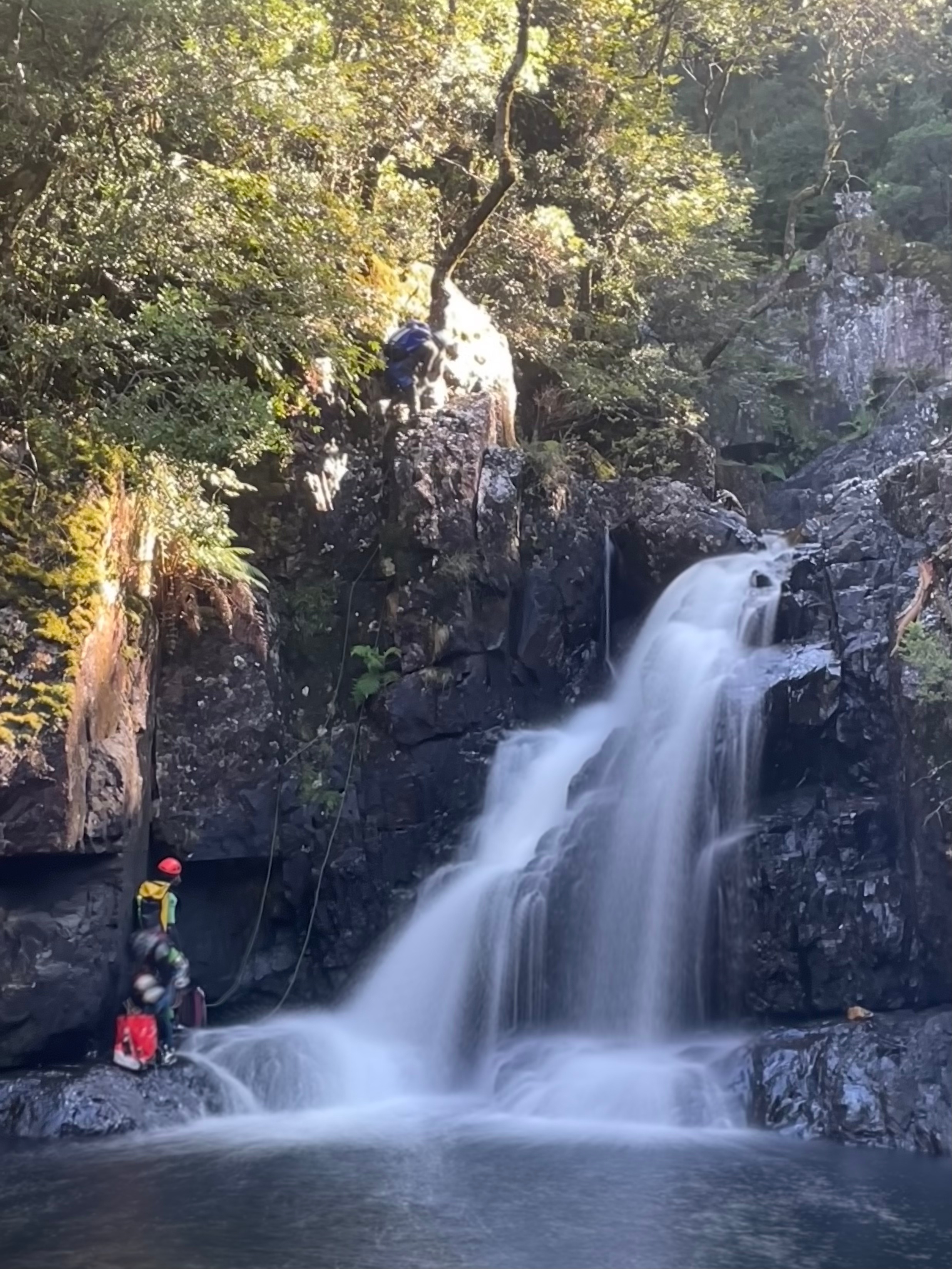
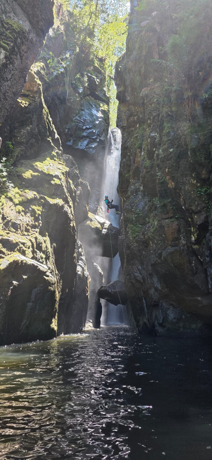
We scrmble up the start of the exit track and find our way across to the dry line.
It’s a bit down stream of the chock stones but I manage to swing across to the upper stone to help the following party with a stuck rope (Notes say to throw the pull cord over the chockstone. This lead to the stuck rope. If the flow isn’t too high just bring the pull strand down with you. it pulls fine.)
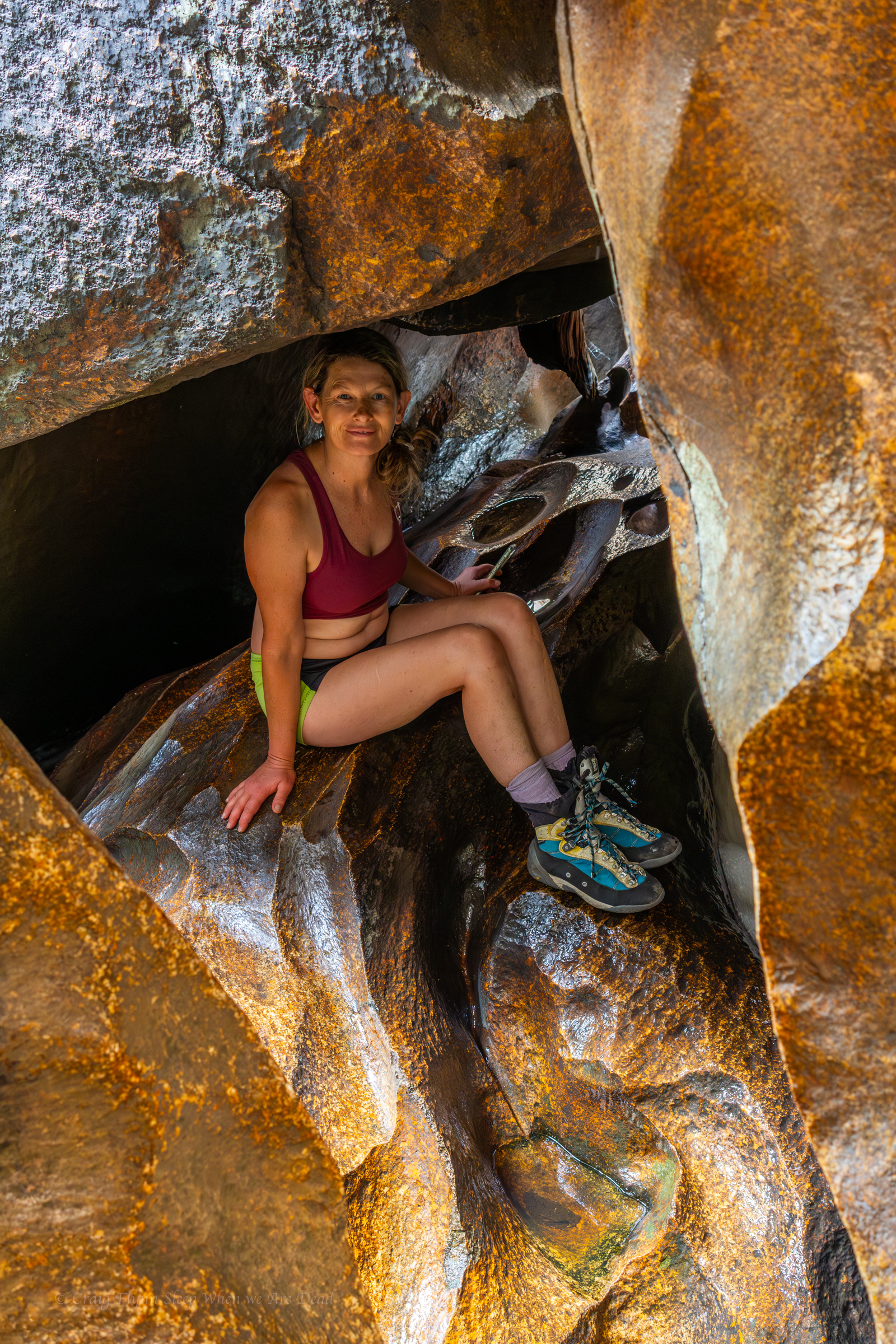
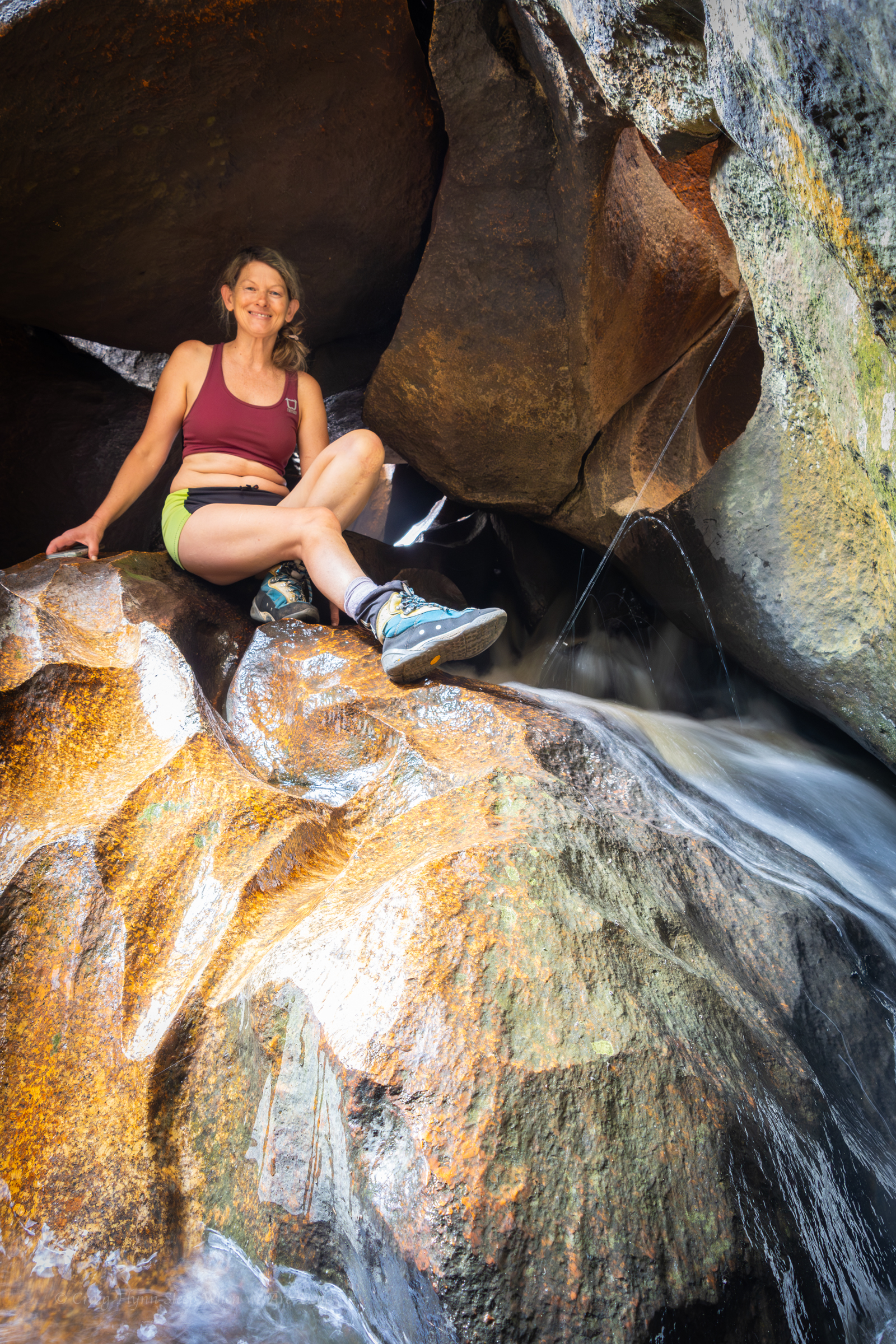
then drop in.
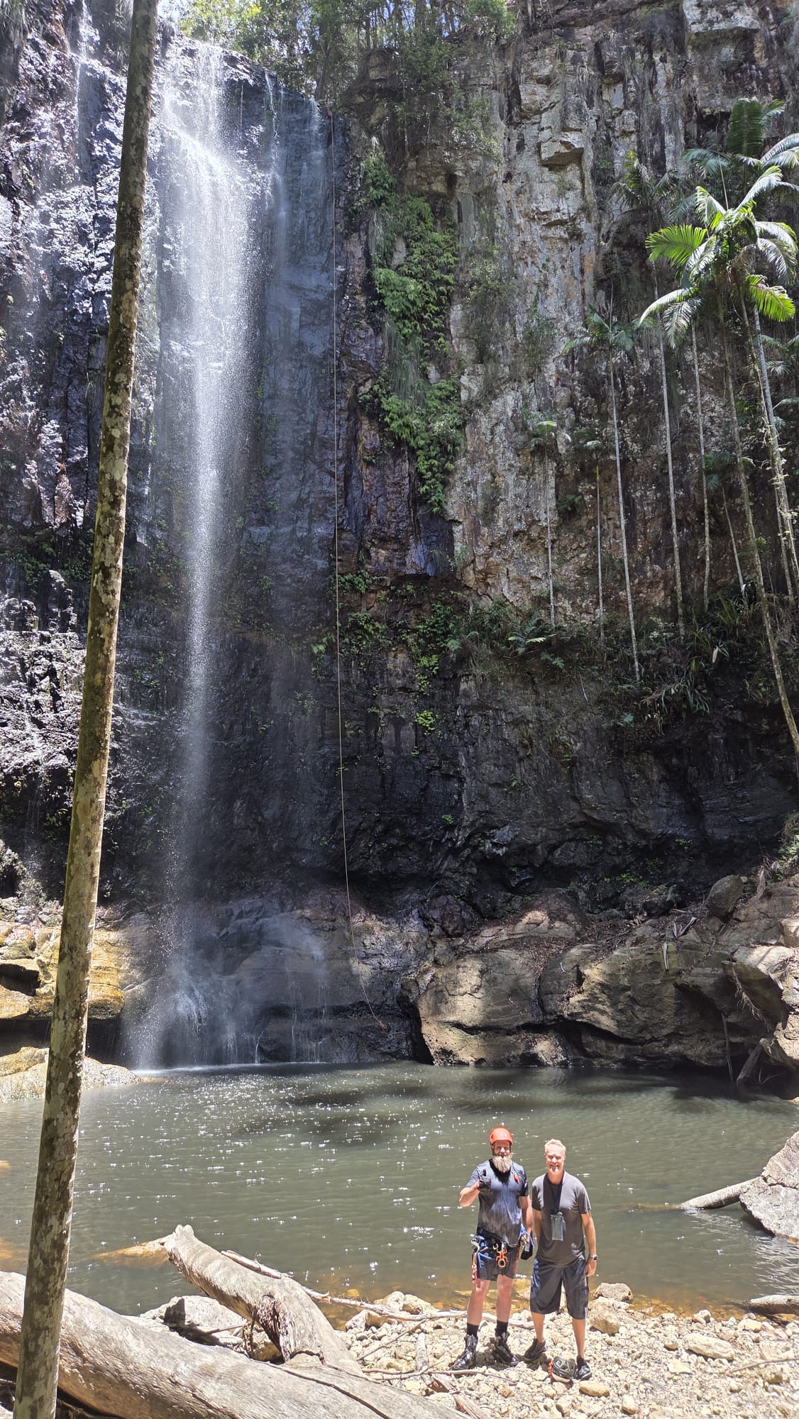
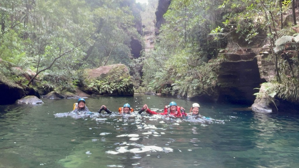
Jas, Wisey and Dave follow me. It’s a surprisingly fun abseil and we opt to run repeat son it for funzies.
Then we head on out and enjoy a relaxing afternoon at Camp
Horse sense is the thing a horse has which keeps it from betting on people: WC Fields