31/12/2023
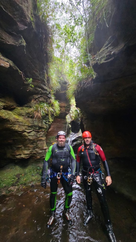
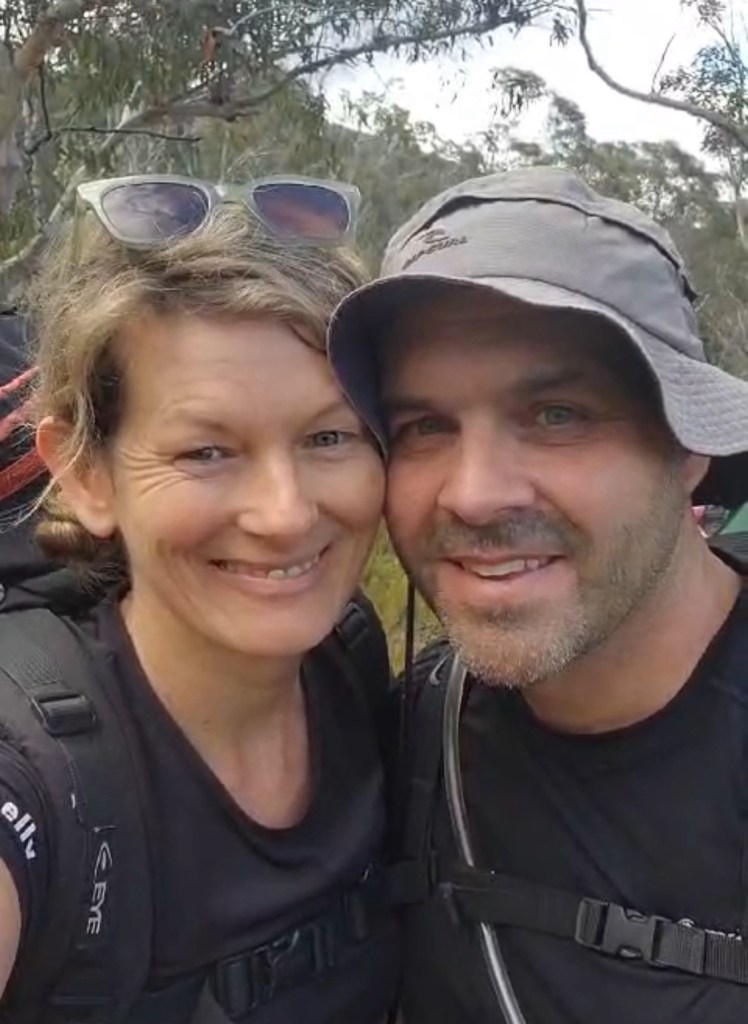
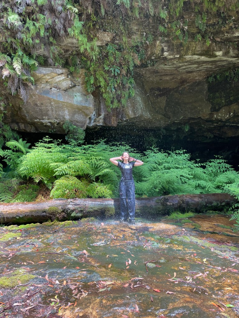
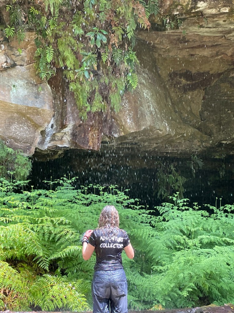
Kylie, Jason, Vince and meeeeeee
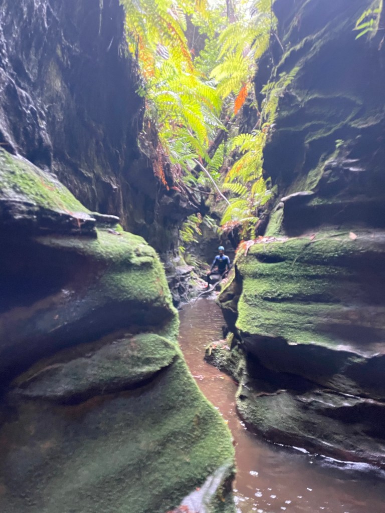
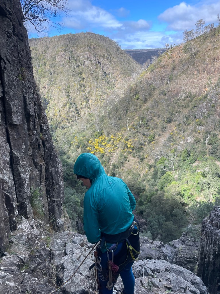
It might sound like a tacky German porno from the 80s but Bangalore is a fun canyon/wet abseil trip.
TBH I wasn’t sure what to expect as I had heard it described as more creek than canyon and after yesterdays slip’n’slidefest in Urumbilum we were a little battered.
Once again the forecasts was for rain and severe afternoon storms but the river gauge was still sitting at around a modest 30Ml range and we knew it was more open terrain.
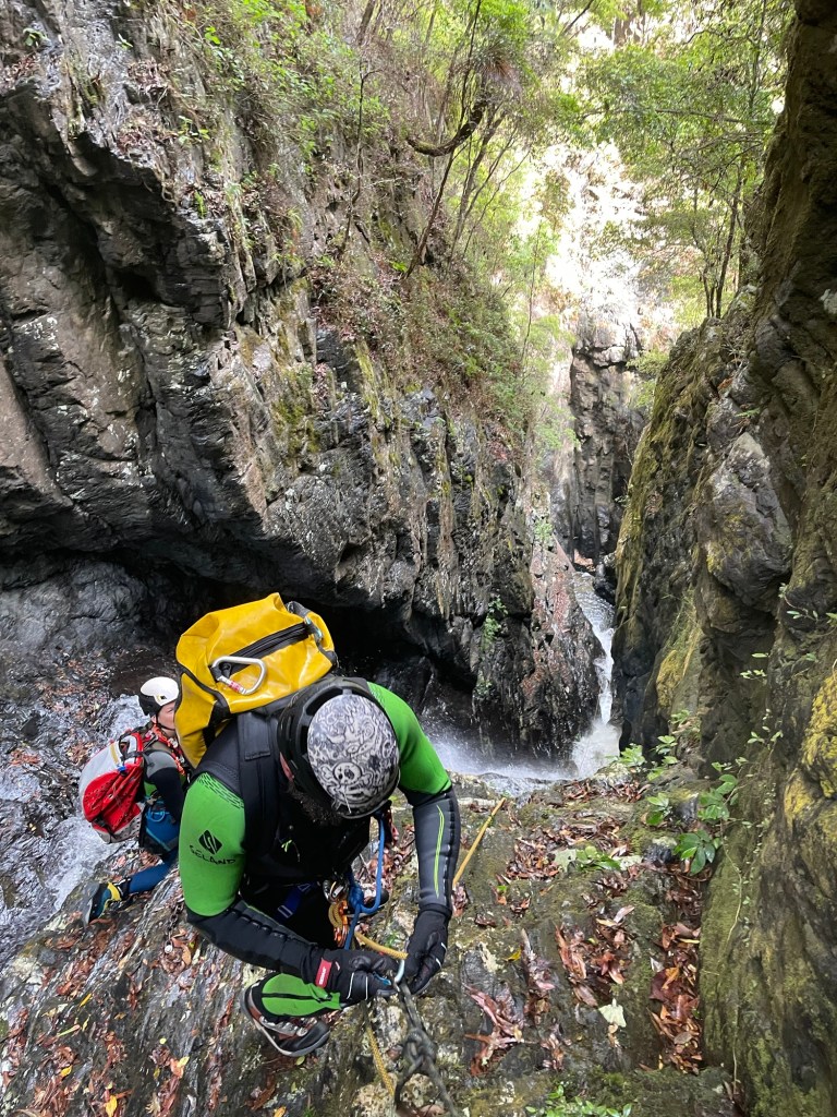
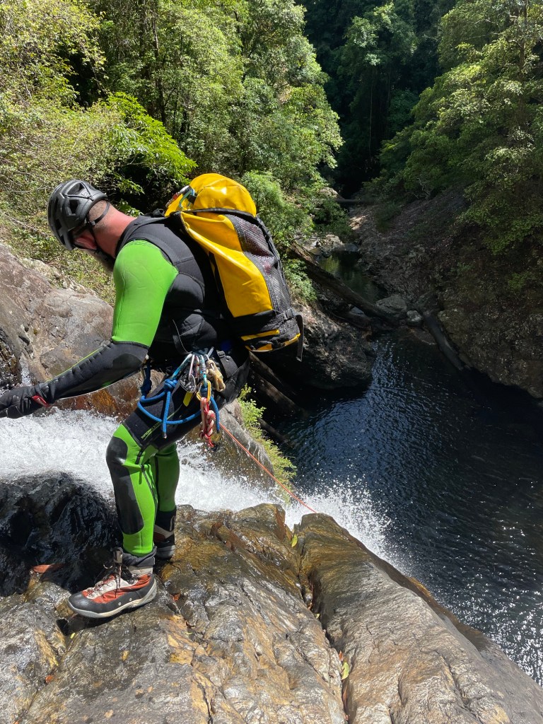
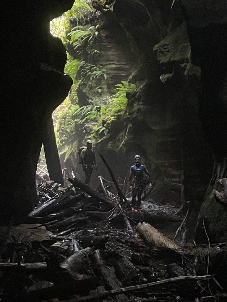
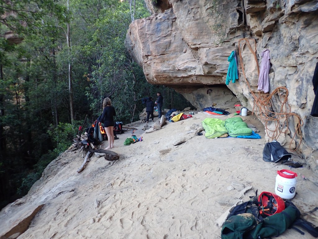
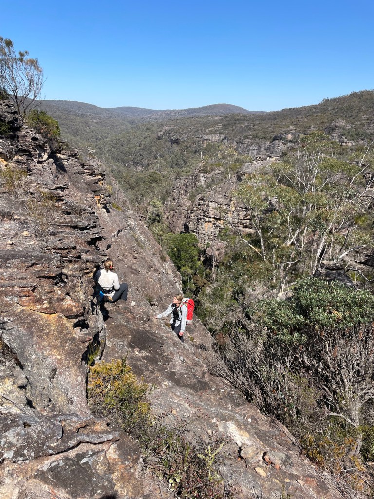
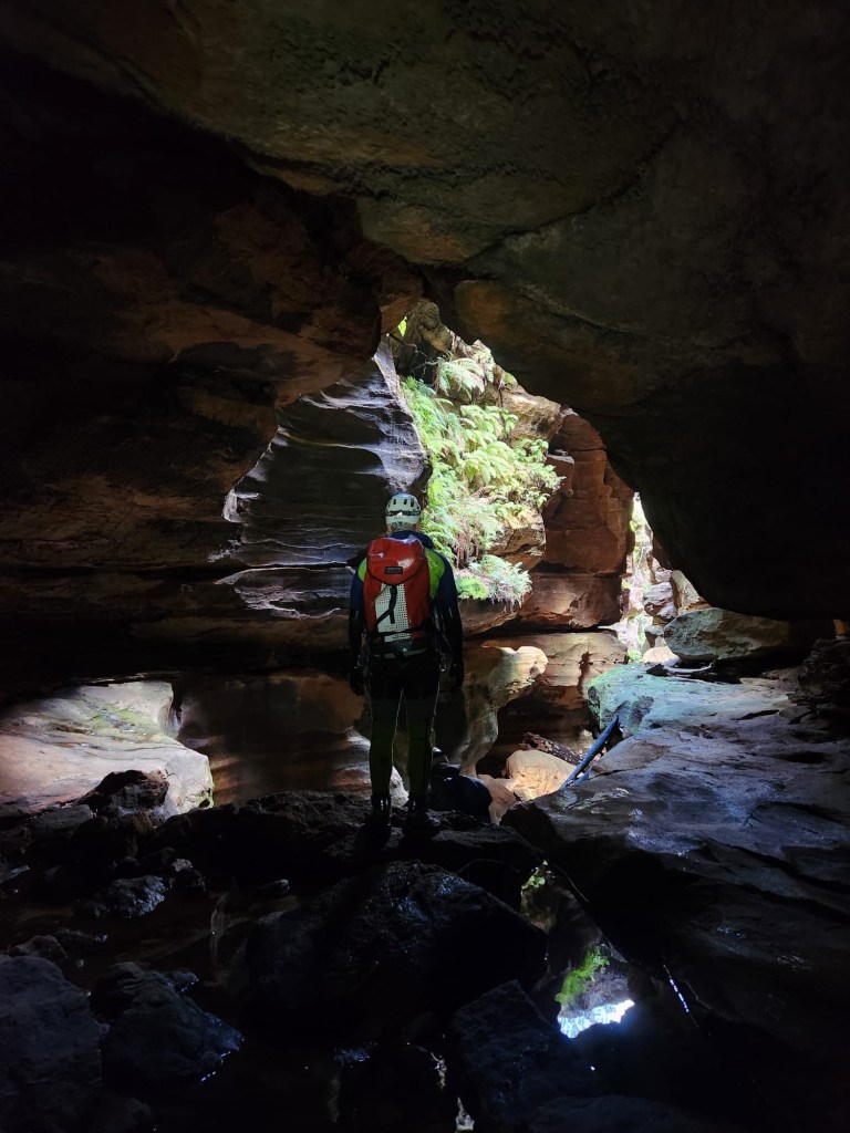
With Jason and Vince carrying the ropes and sharing anchor duties I got to play tourist and take a metric crap load of (mostly bad) photos.
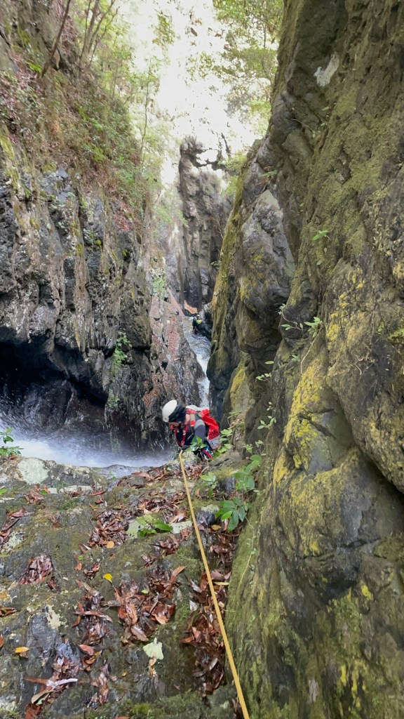
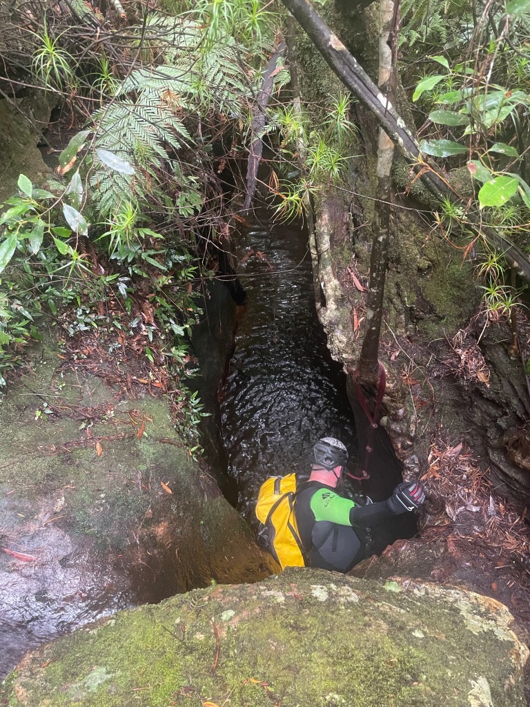
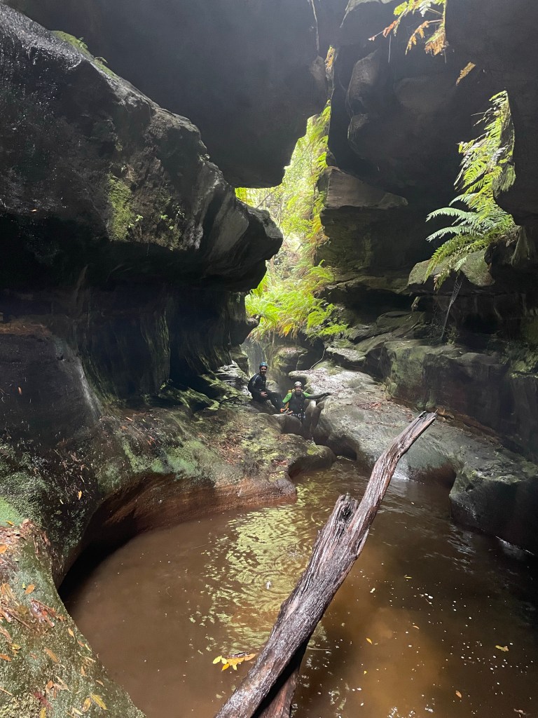
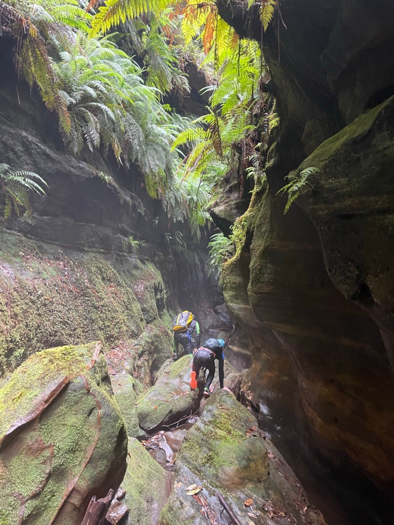
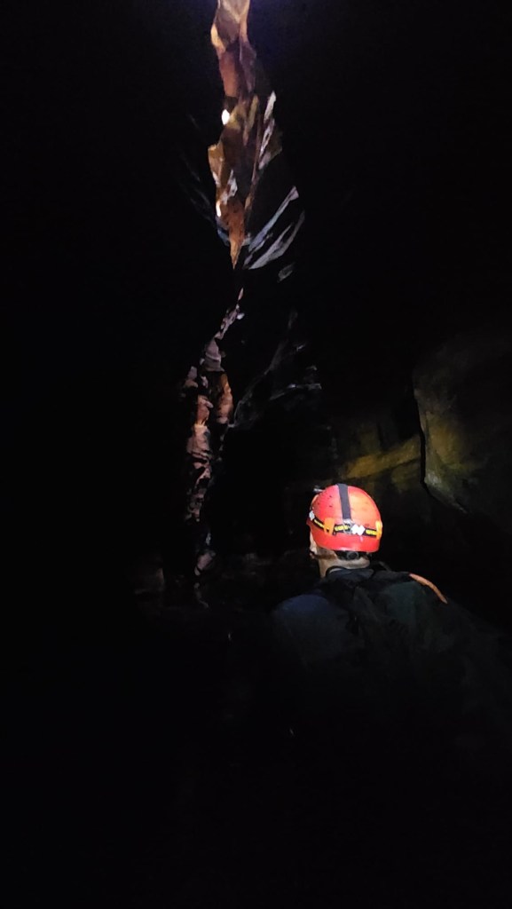
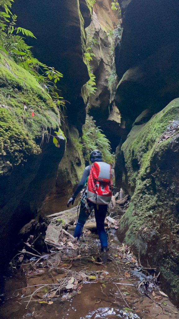
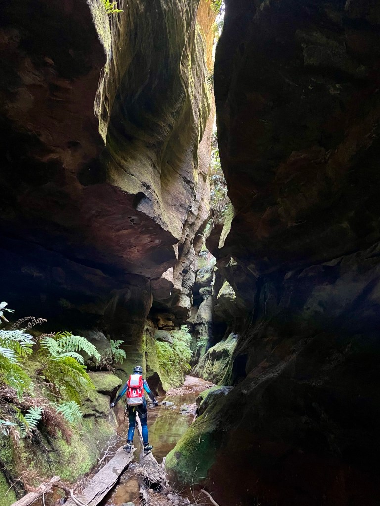
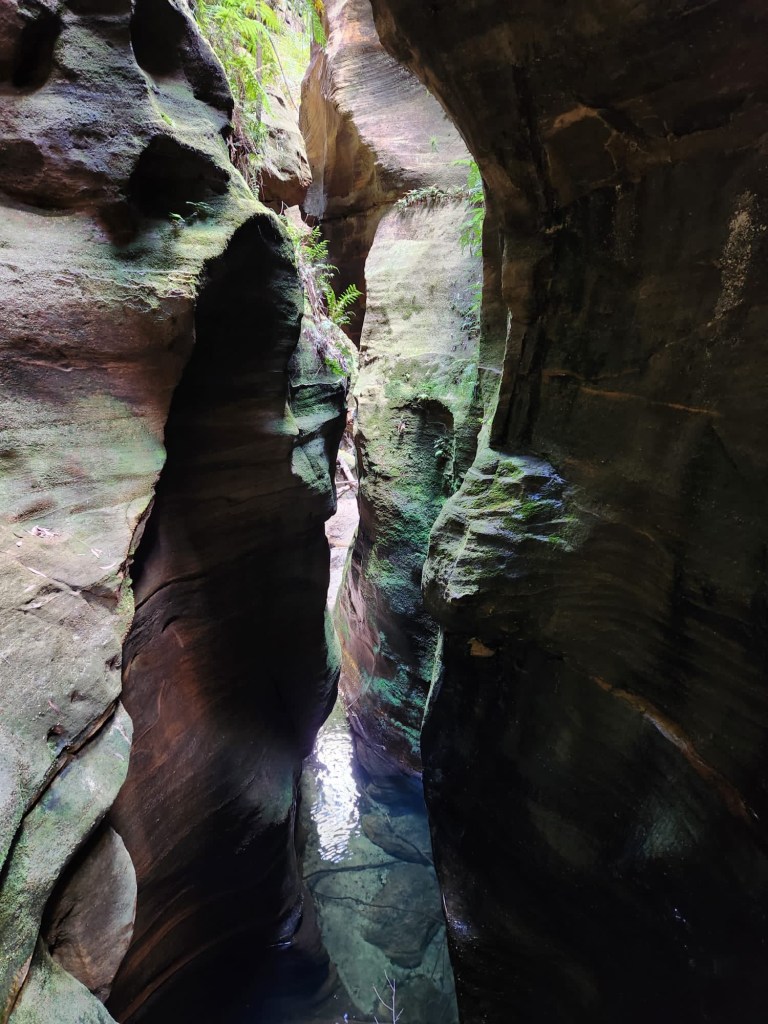
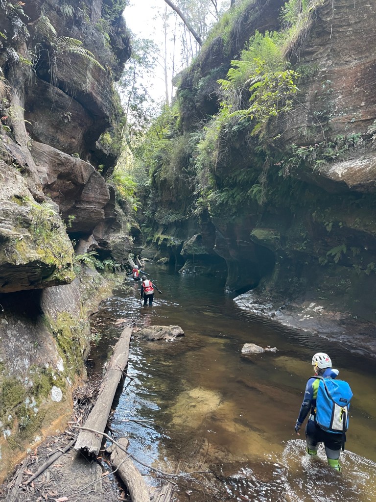
I’m not sure where the creek walking rep came from as you are pretty much straight into it after hitting the creek.
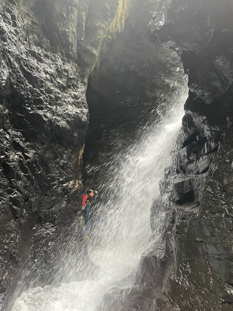
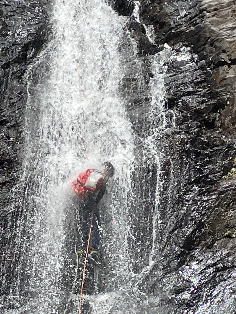
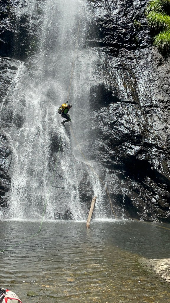
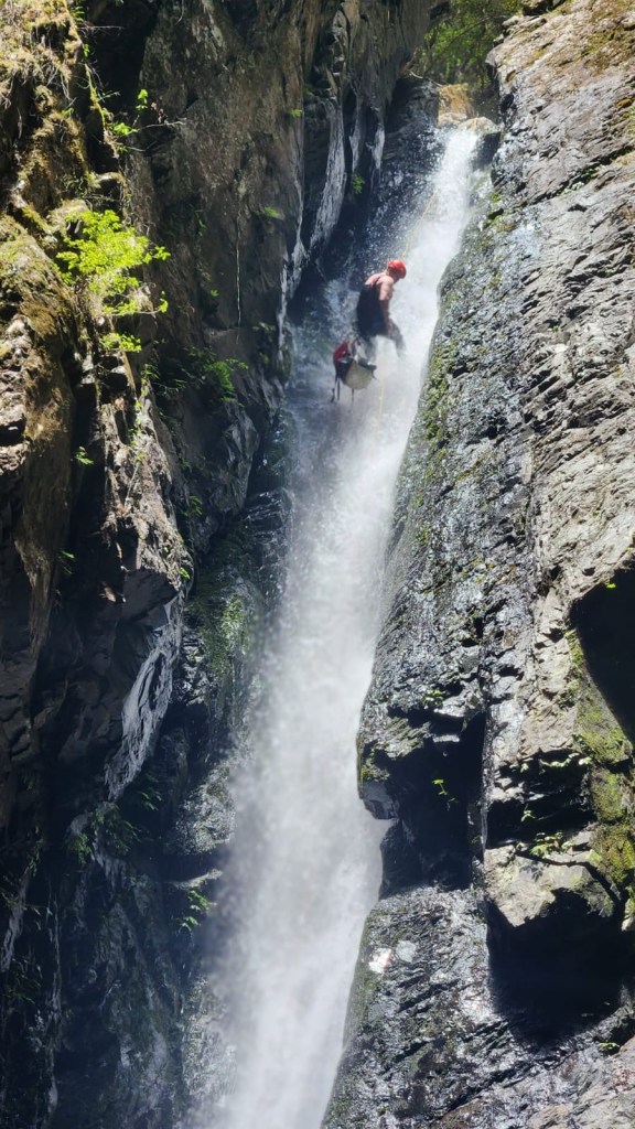
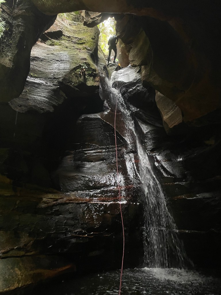
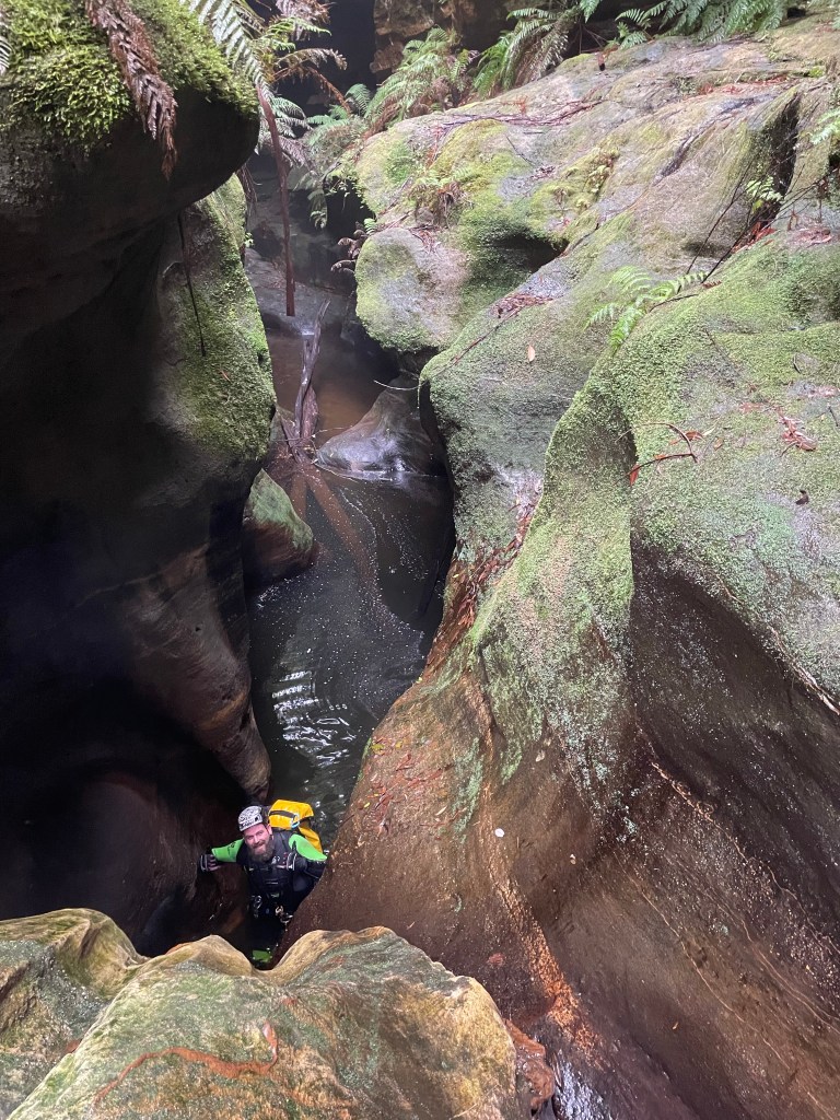
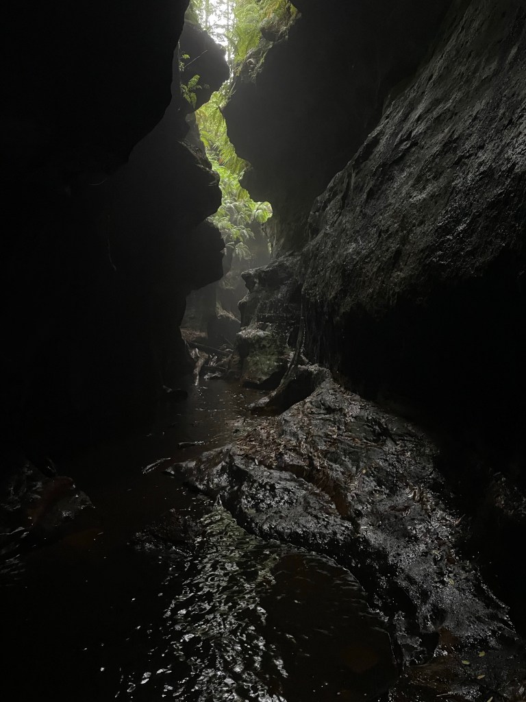
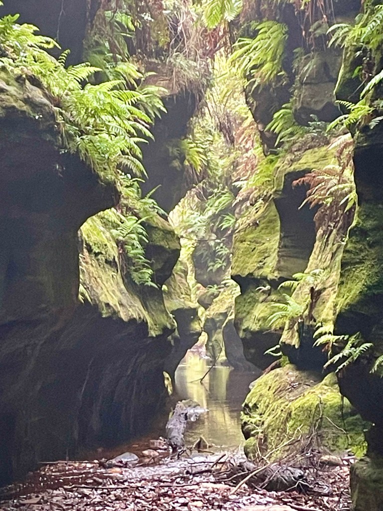
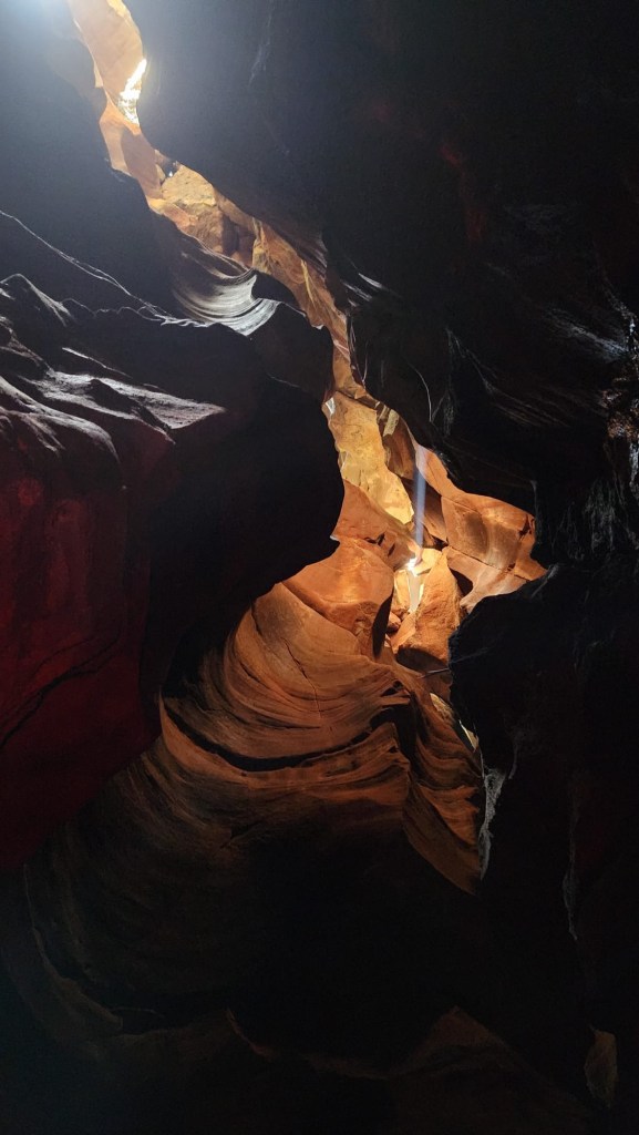
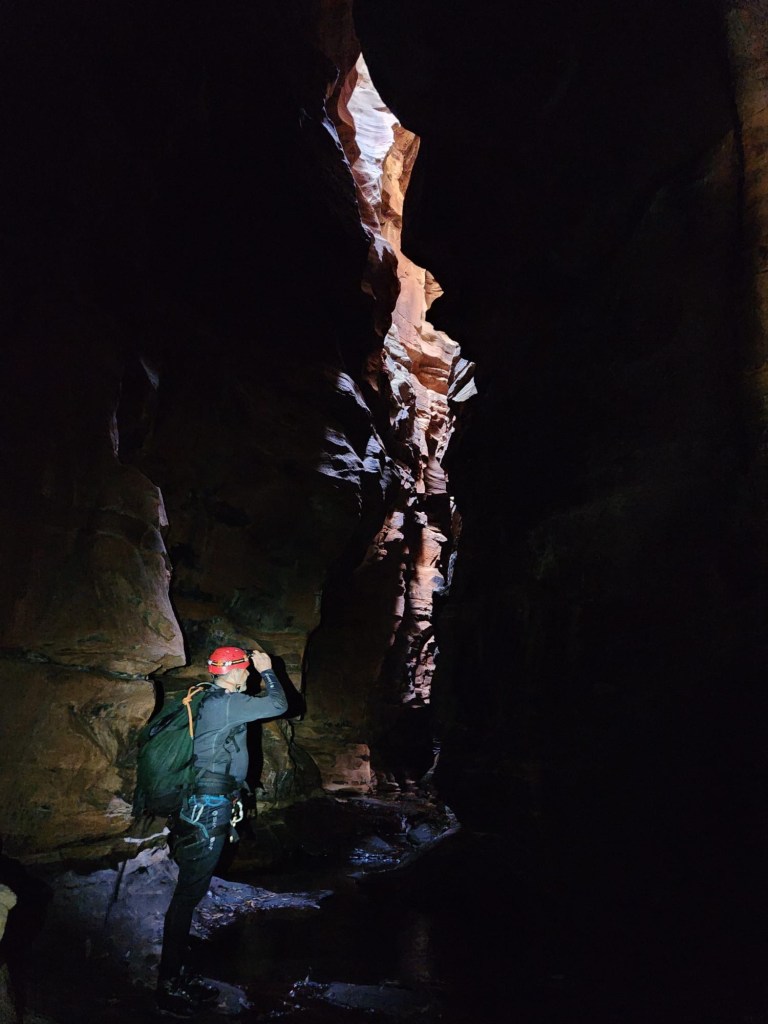
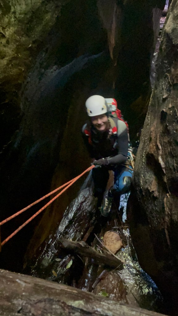
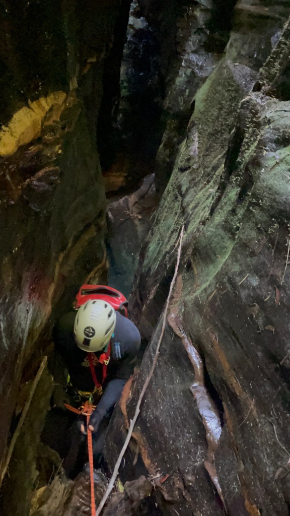
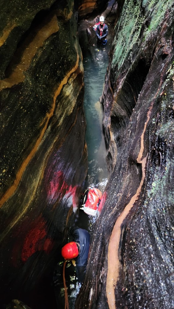
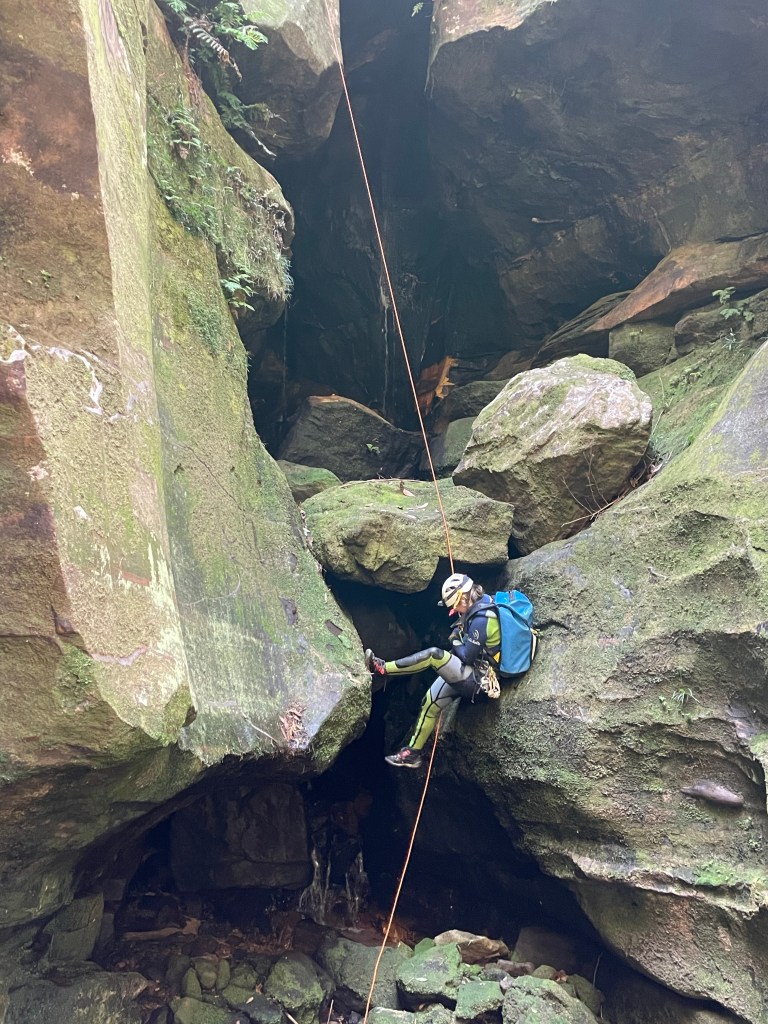
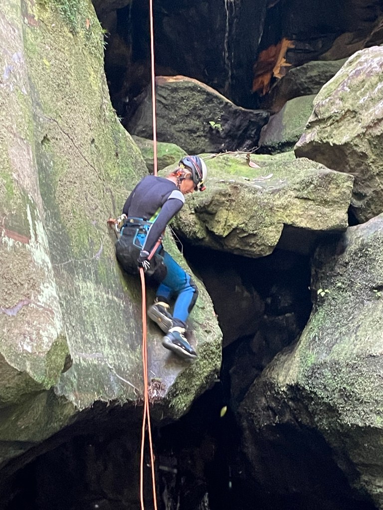
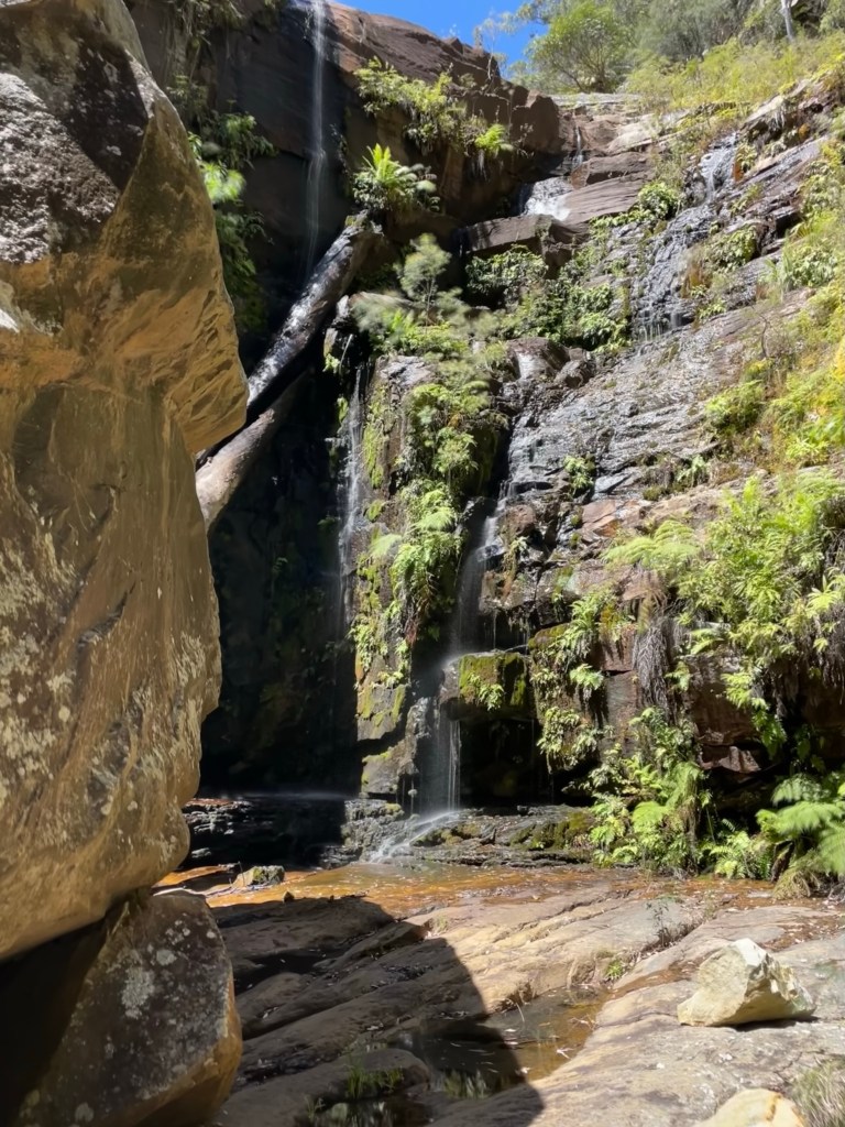
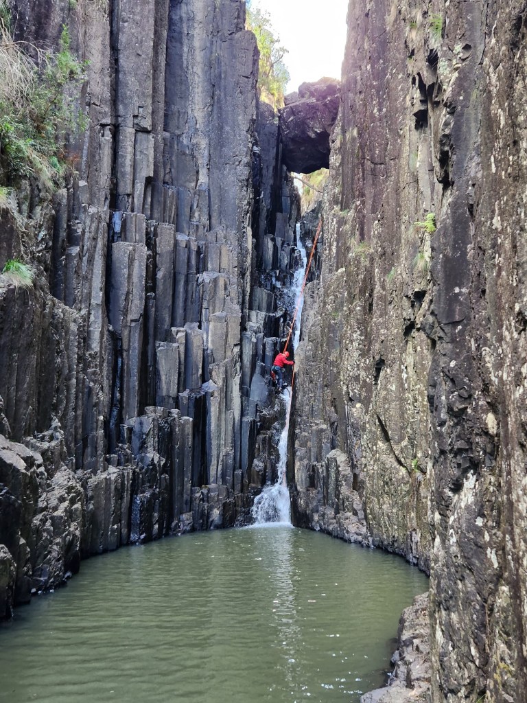
Despite the creek being more open the abseils are in some nice flow. And at these water flows they were pretty chill.
And once again the sunshine defied the forecasts


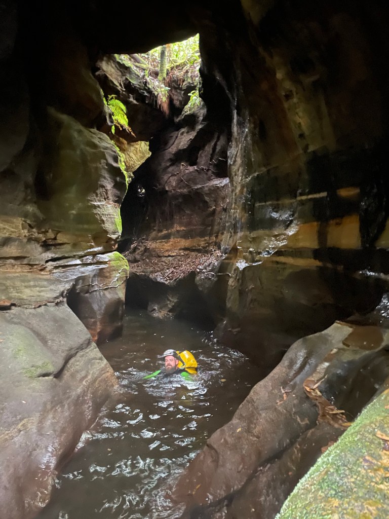
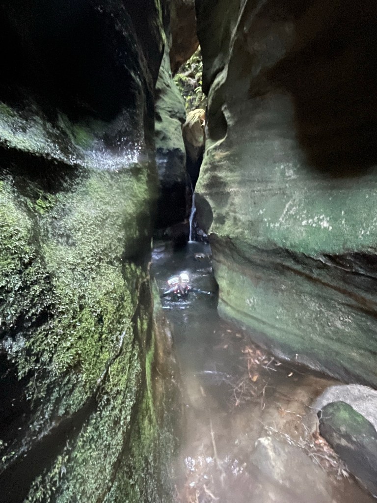
The stench at the out flow of this one was spew worthy. Something very dead but yet not dead enough was caught in the log jam.
No drinking the creek water today.
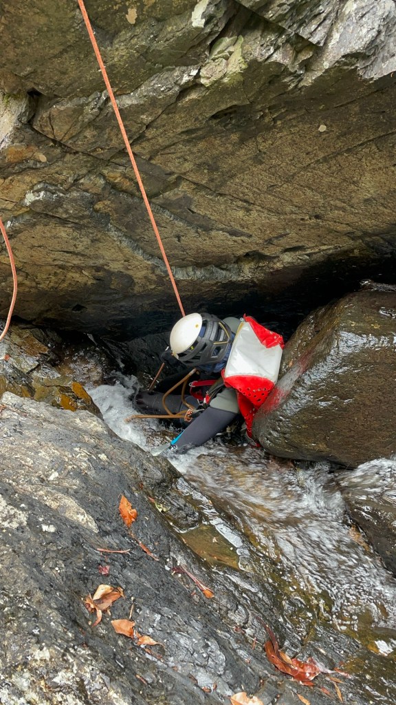
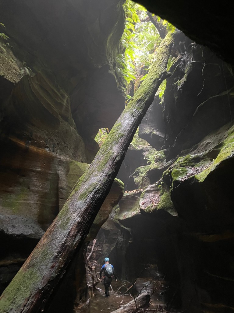
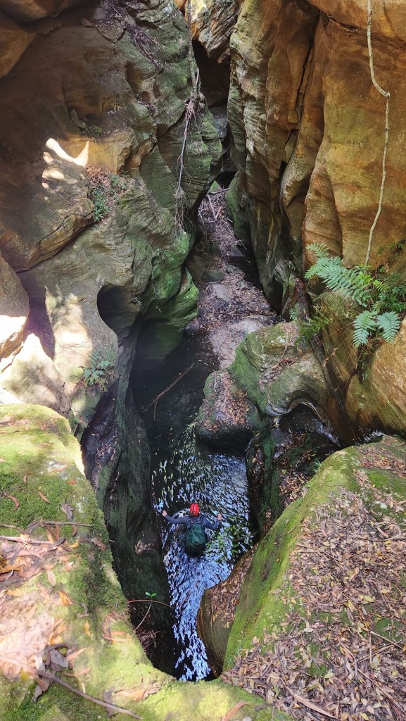
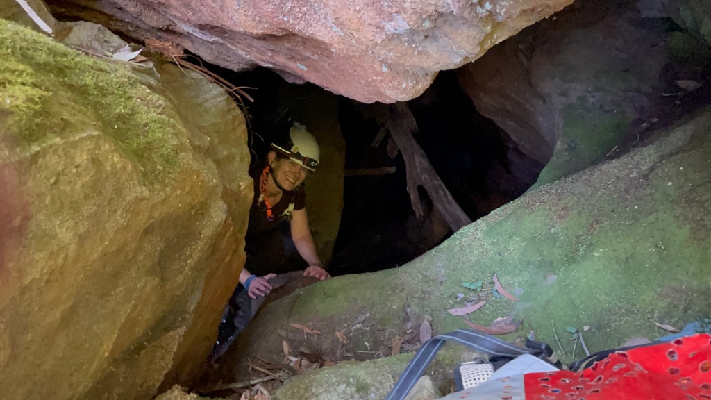
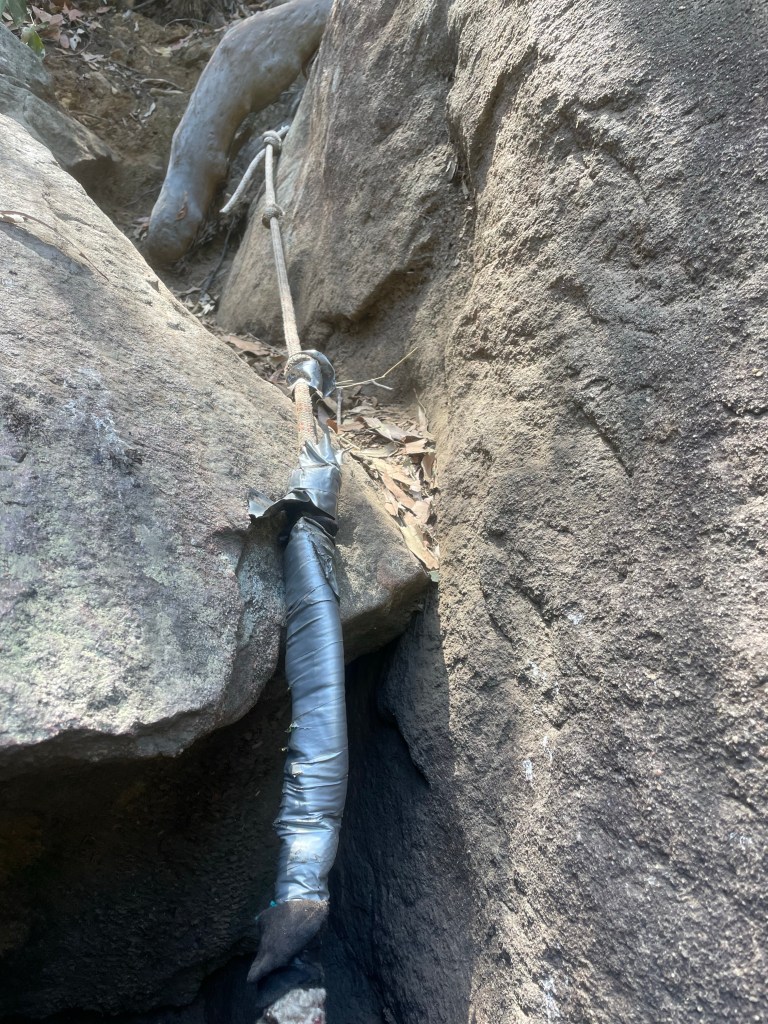
Then we come to the one that contains the log you can squeeze behind but poses a big risk in high flow.
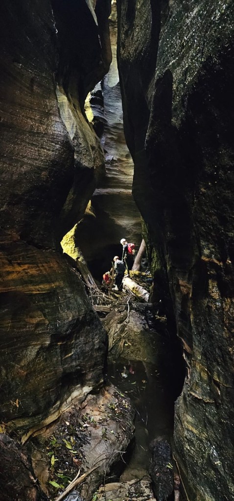
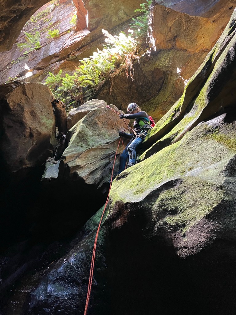
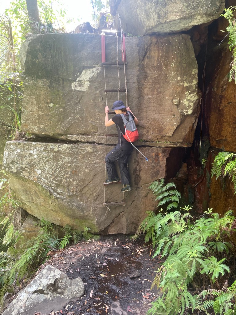
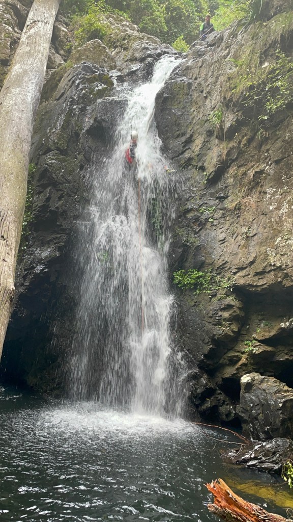
There’s a line of traverse bolts we decide to check out. Vince has never set a traverse before so of course we send him first (we did talk him through it)
Jason is shaking his head.
We normally just sling off that tree over there. Says he
And he has a fair point. The traverse is a bit of dicking around when the tree is far easier and safer to get to and (looking back from the bottom of the drop) gives a far better line anyway.
Moral to the story: Don’t just blindly follow the bolts kids. Sometimes there are better options.
Anyhoo it gave us a bit of practice on a traverse in a non threatening environment.

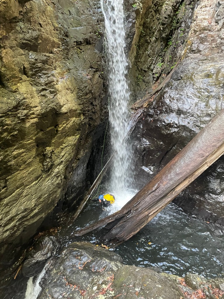
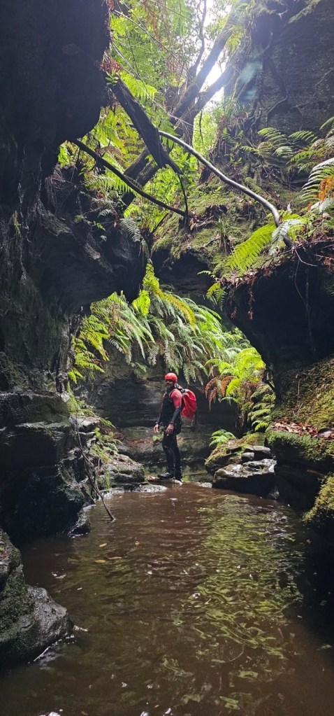
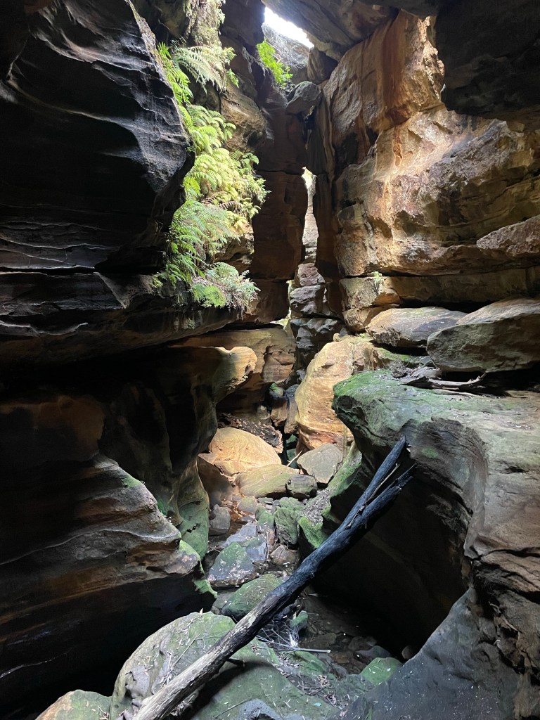
There’s an option to exit here. We opt to keep going as it’s a bit of fun
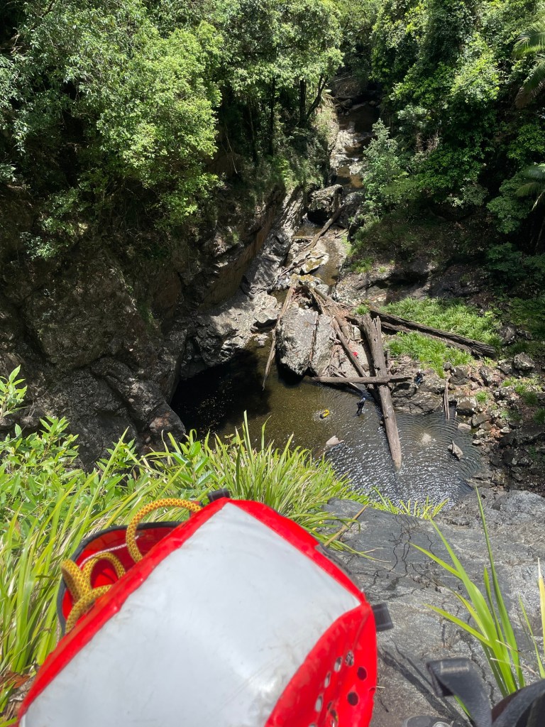
A short creek walk gets us to the next bit
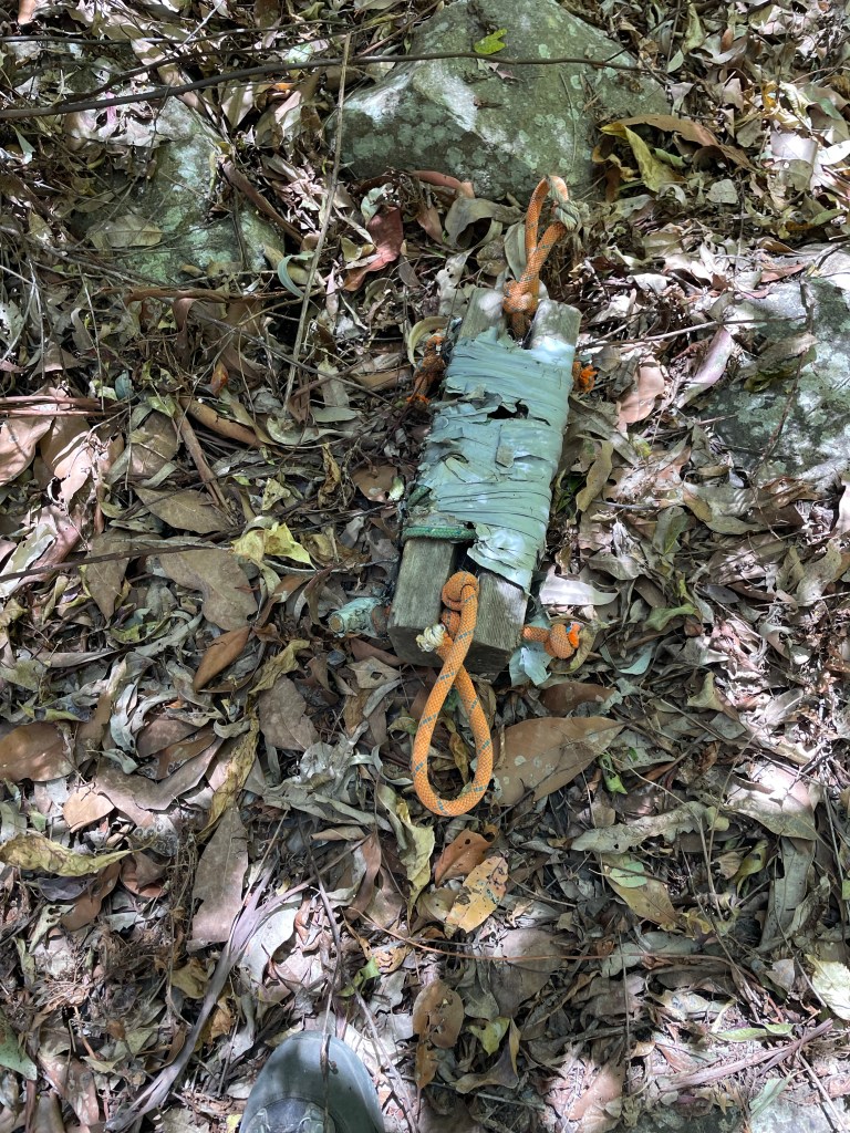
Another odd traverse bolt to get out to a weirdly placed anchor. Jason bemoans the original bolt placement on the other side of the creek had been removed.
The new anchor appears to be for better pulldown but Jason says the other had no issues and was a funner line. 🤷🏻
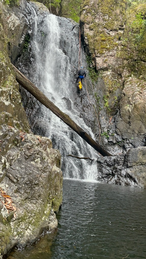


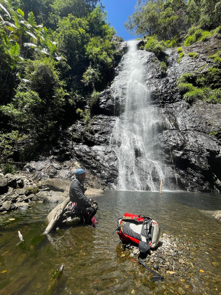
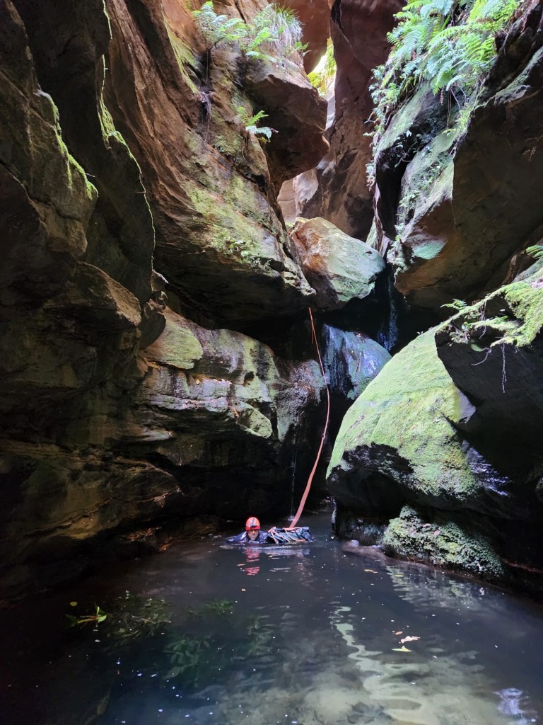
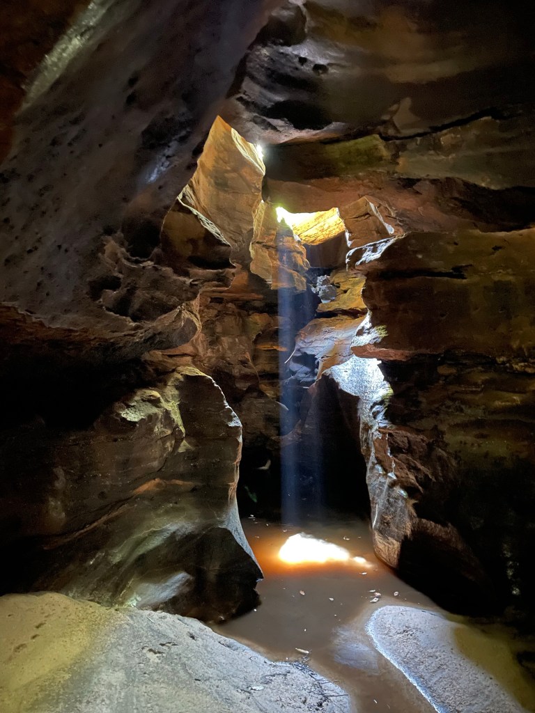
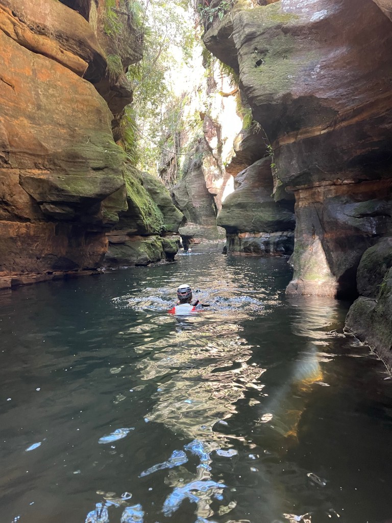
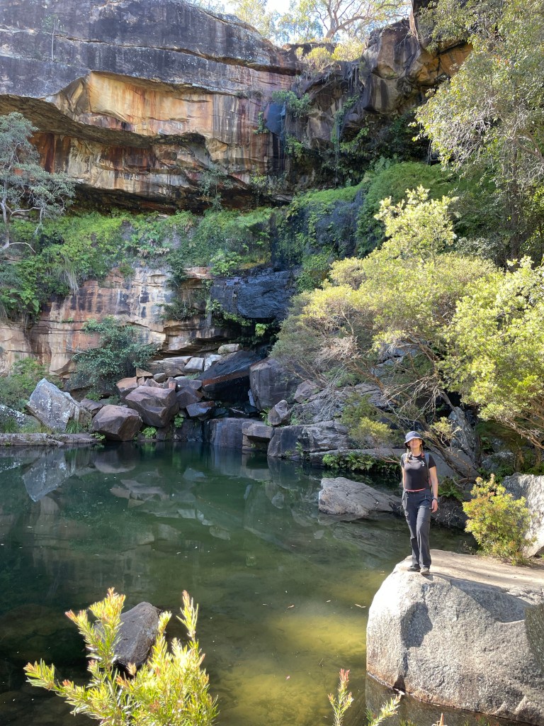
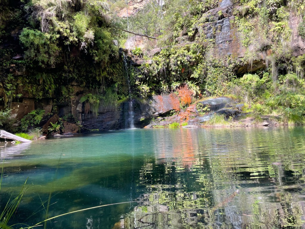
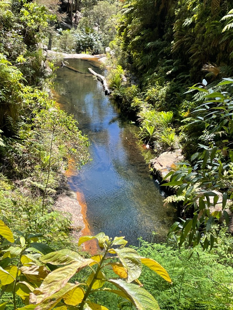
And just like that we are at the Jade Pool and our exit. There is 1 more optional drop we could do but as you just go down to come back up we decide to skip it and head out.
The track up is steep but a hell of a lot easier than falling over 2.5km of slippery river rocks.
If Rosewood is the Empress of the north. Bangalore is their Dione Dell (minus dry line options.)
Mr. Burns : You must find the Jade Monkey before the next full moon.
Smithers : Actually, sir, we found the Jade Monkey. It was in your glove compartment.