20-01-2018
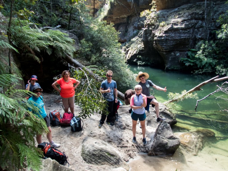
Ed, Tal, Gaz, Jodie and me
*Slight detour* in March I am again taking part in the West Cycles Classic to raise money for the Westpac rescue helicopter service. Whether preforming bush rescue, emergency patient transfers, and all the rest no one has ever had to pay to use the helicopter due to public donations. If, like me, you believe this is an invaluable service or if you just enjoy reading my blog think about pitching in with a donation. Large or small every bit counts. follow this link for details 2018 West Cycles
Anyhoo…
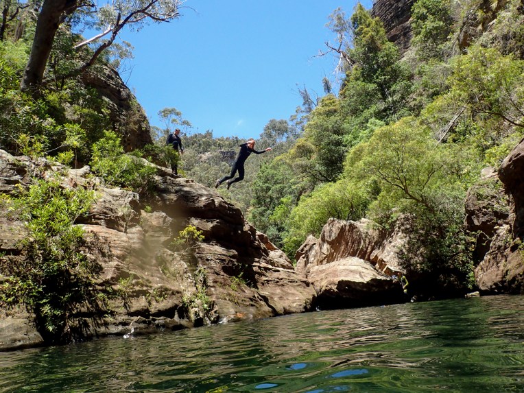
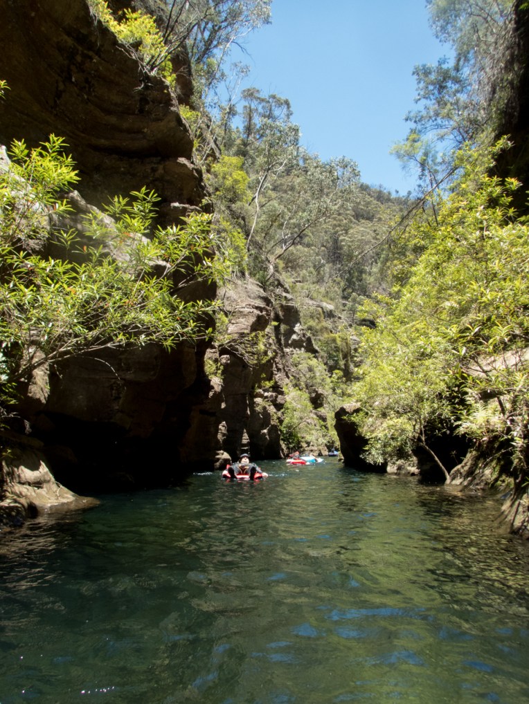
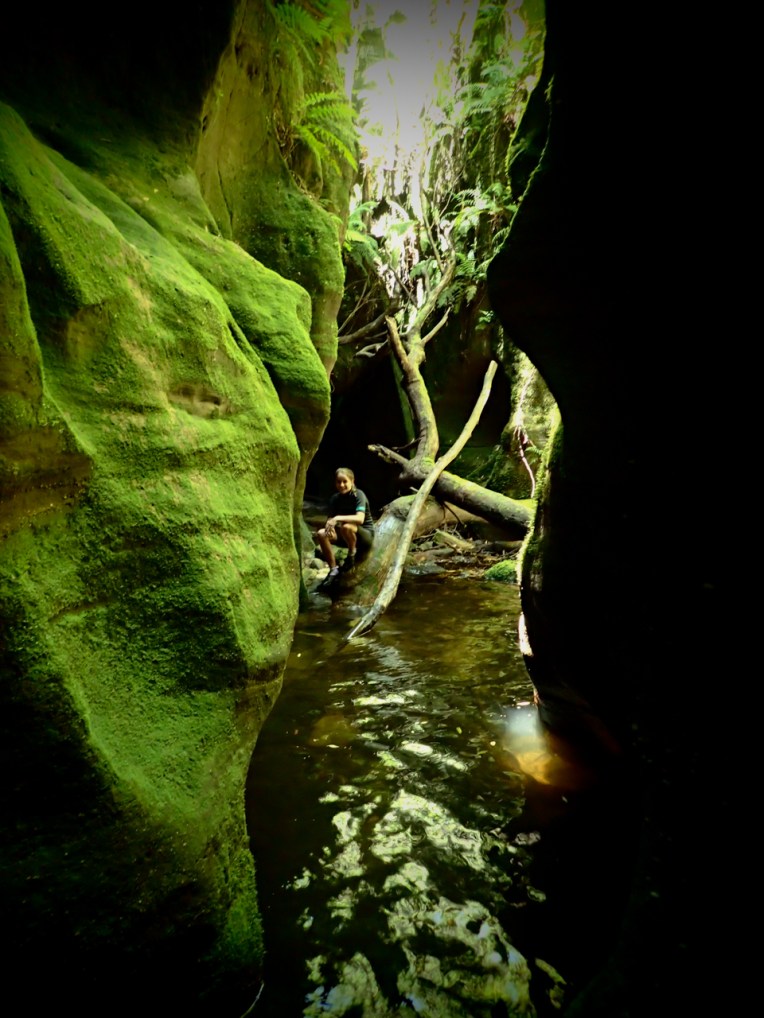
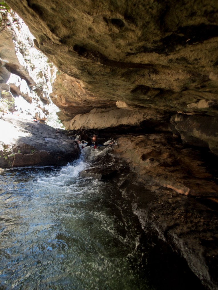
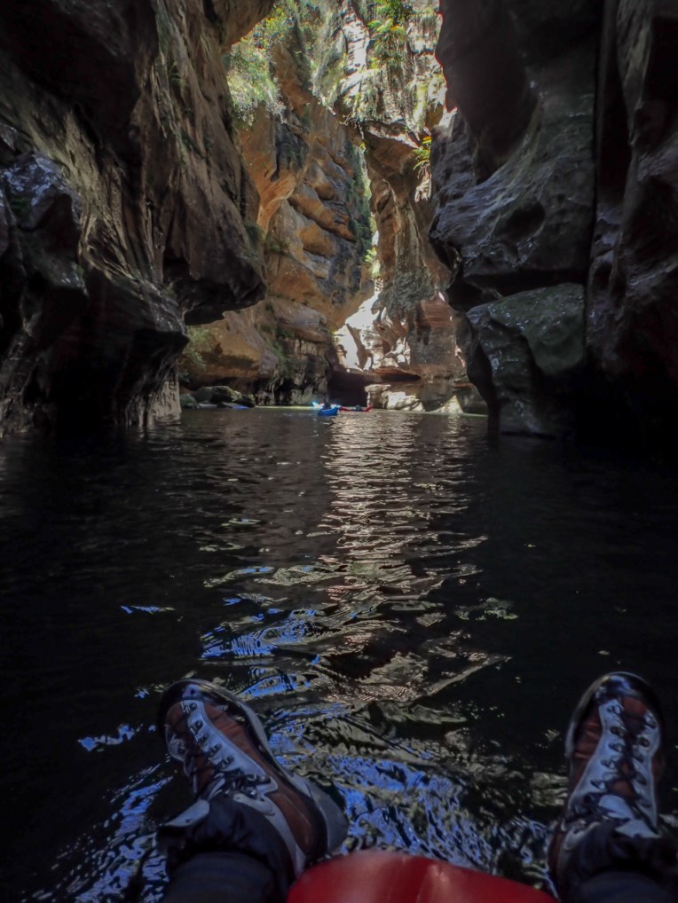
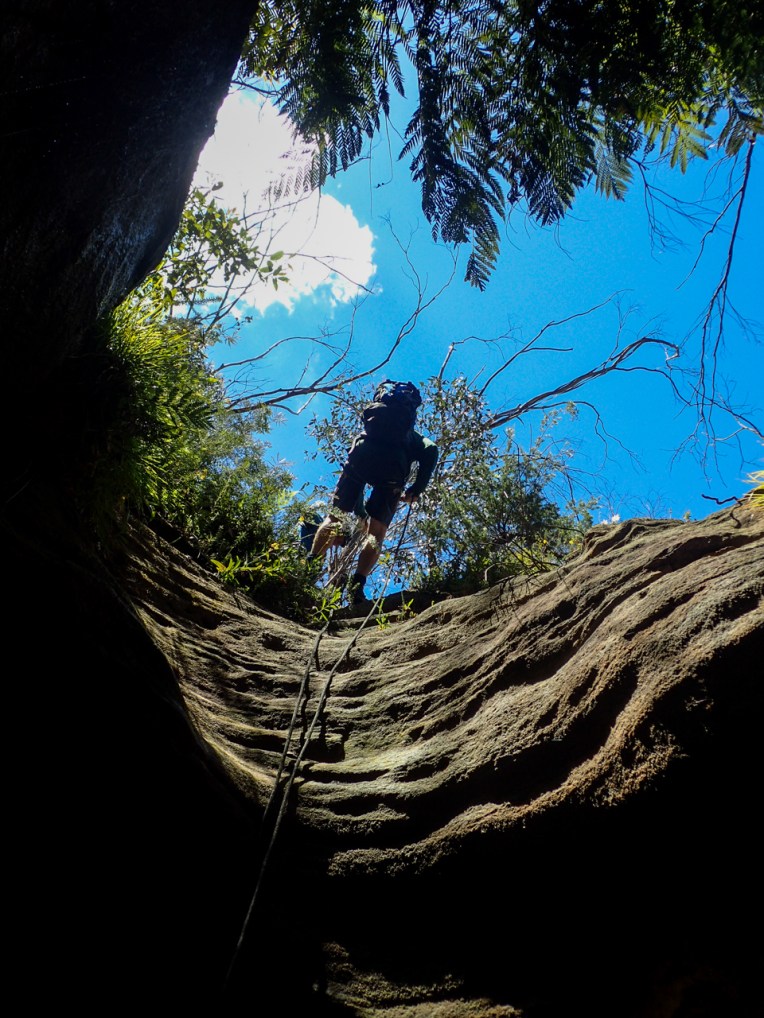
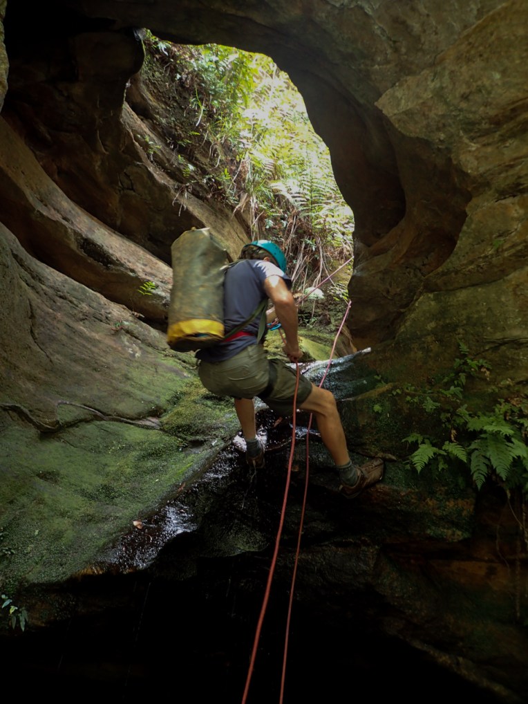
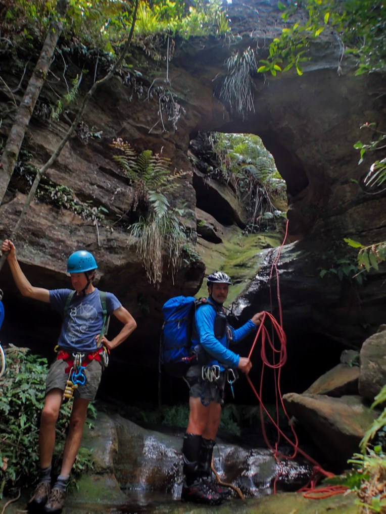
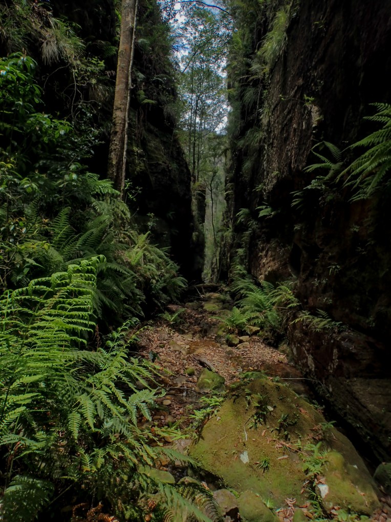
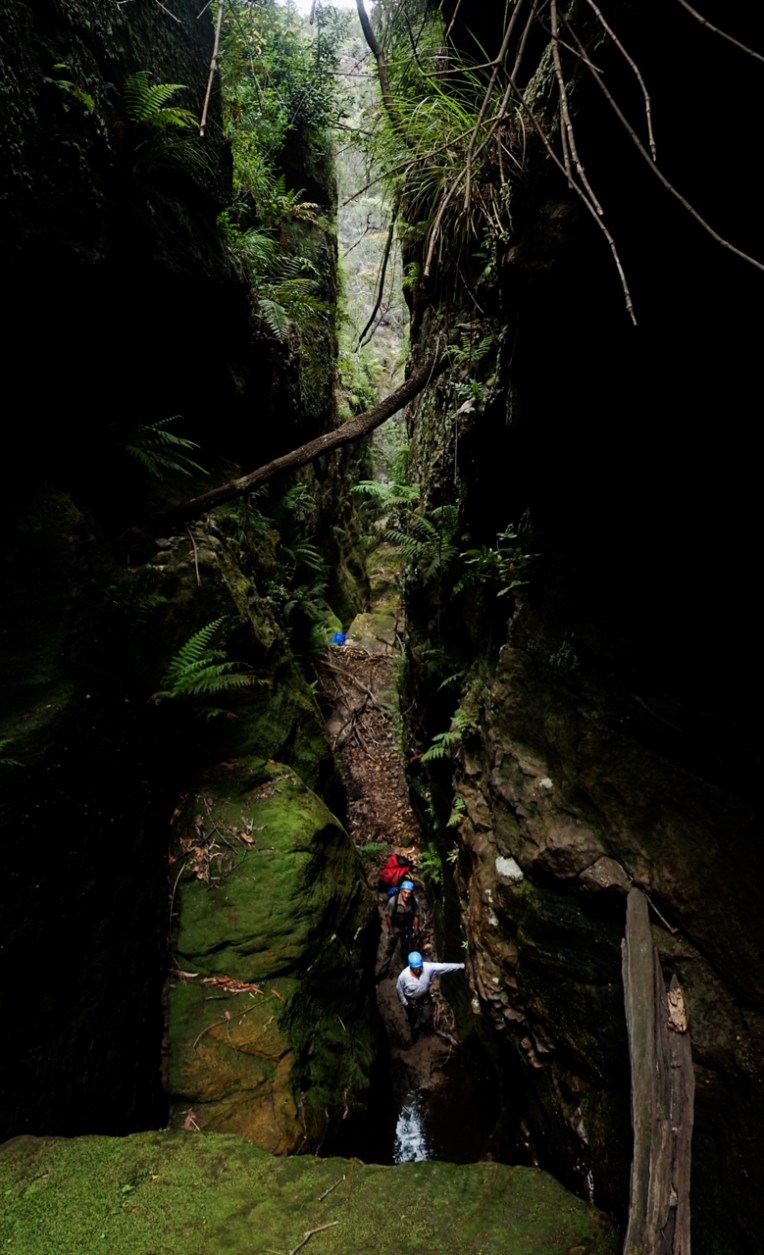
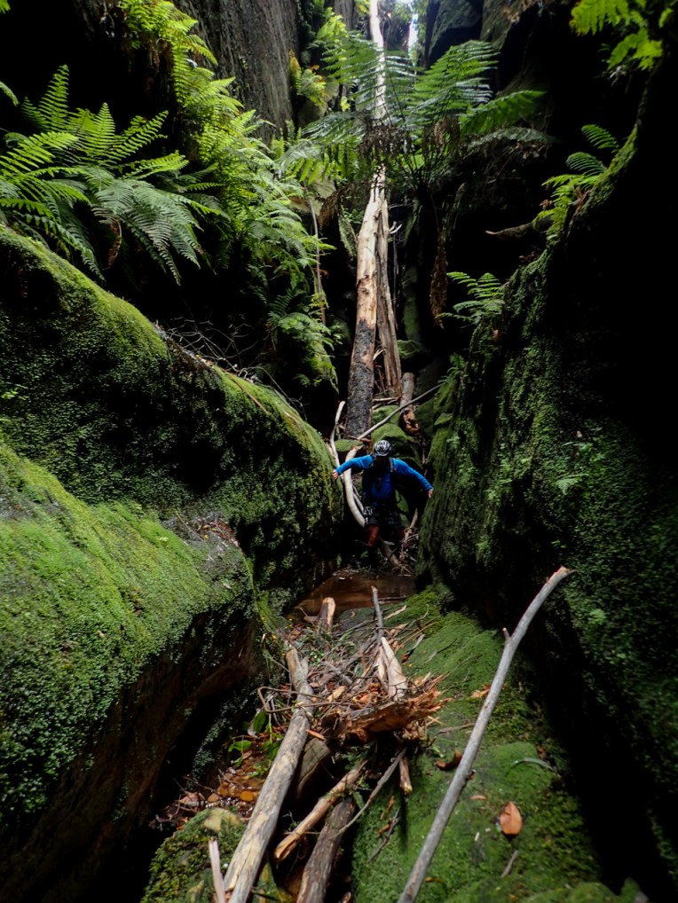
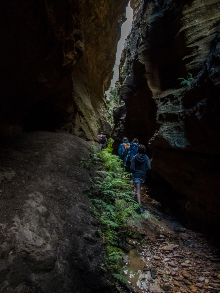
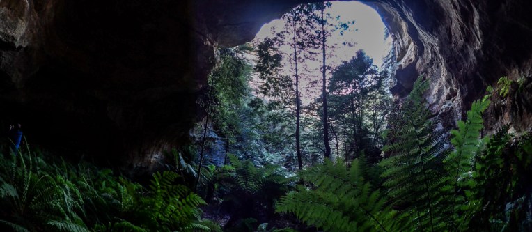
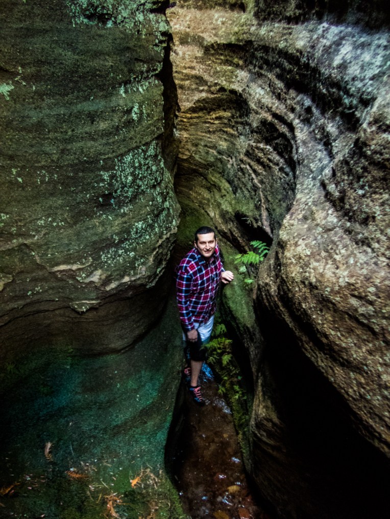
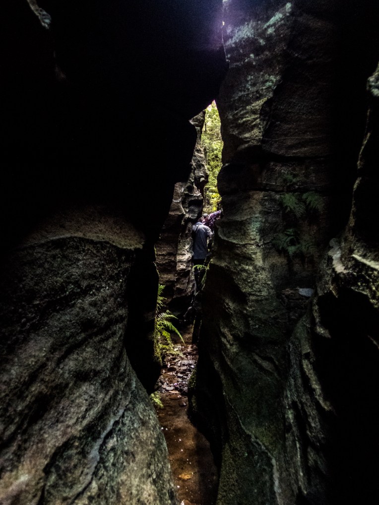
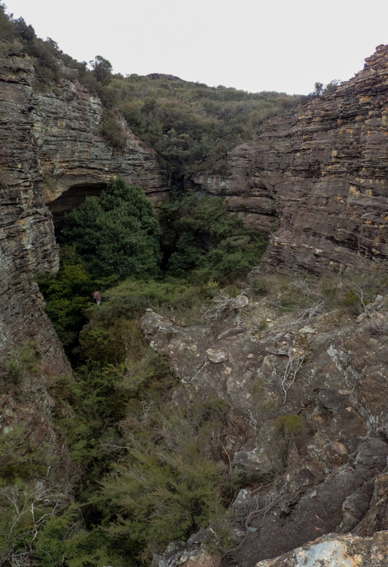
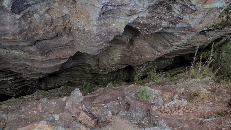
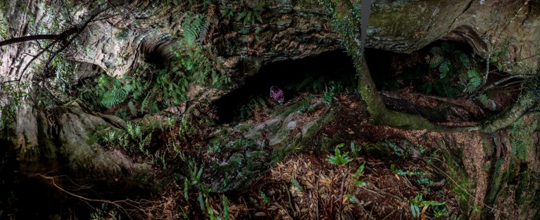
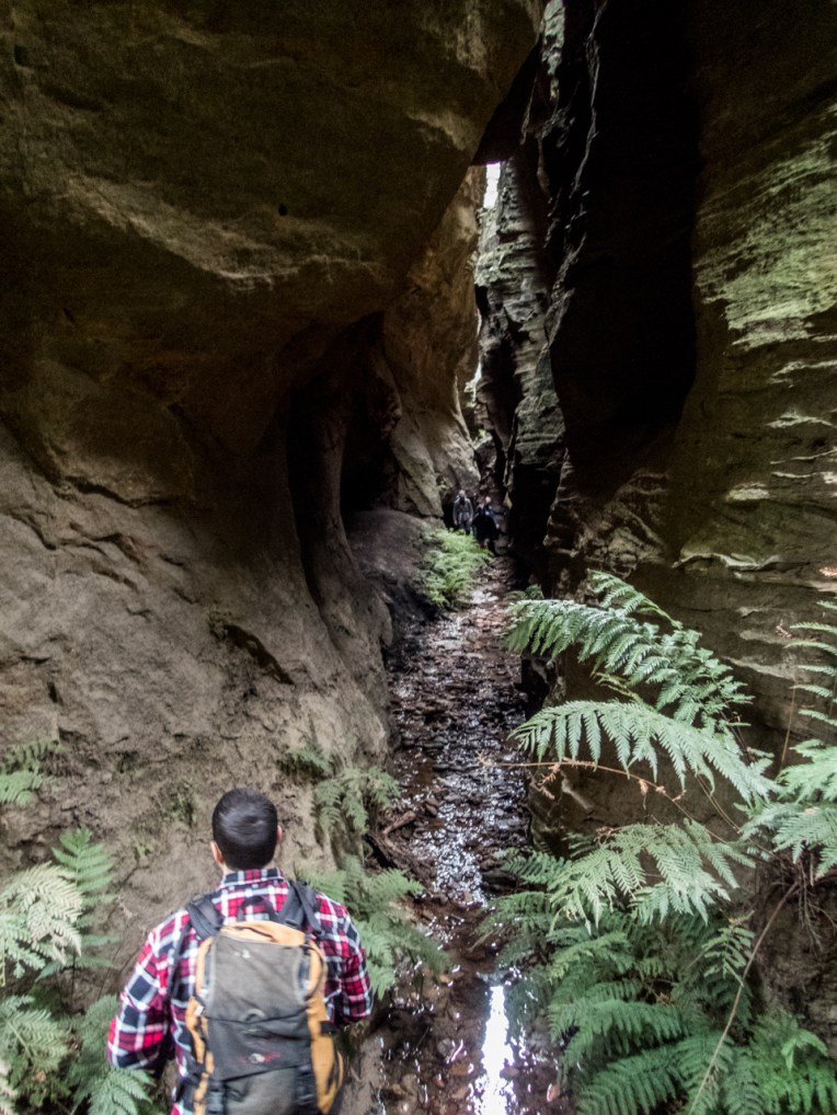
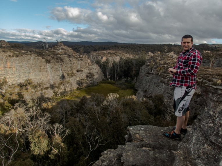
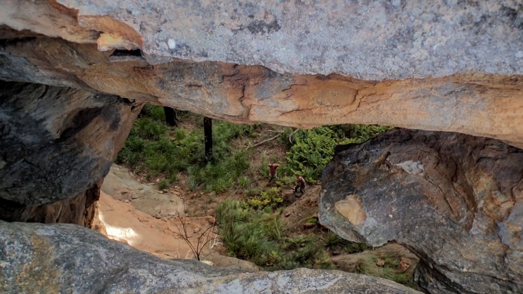
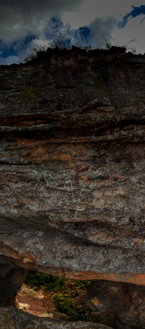
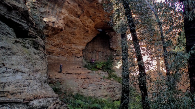
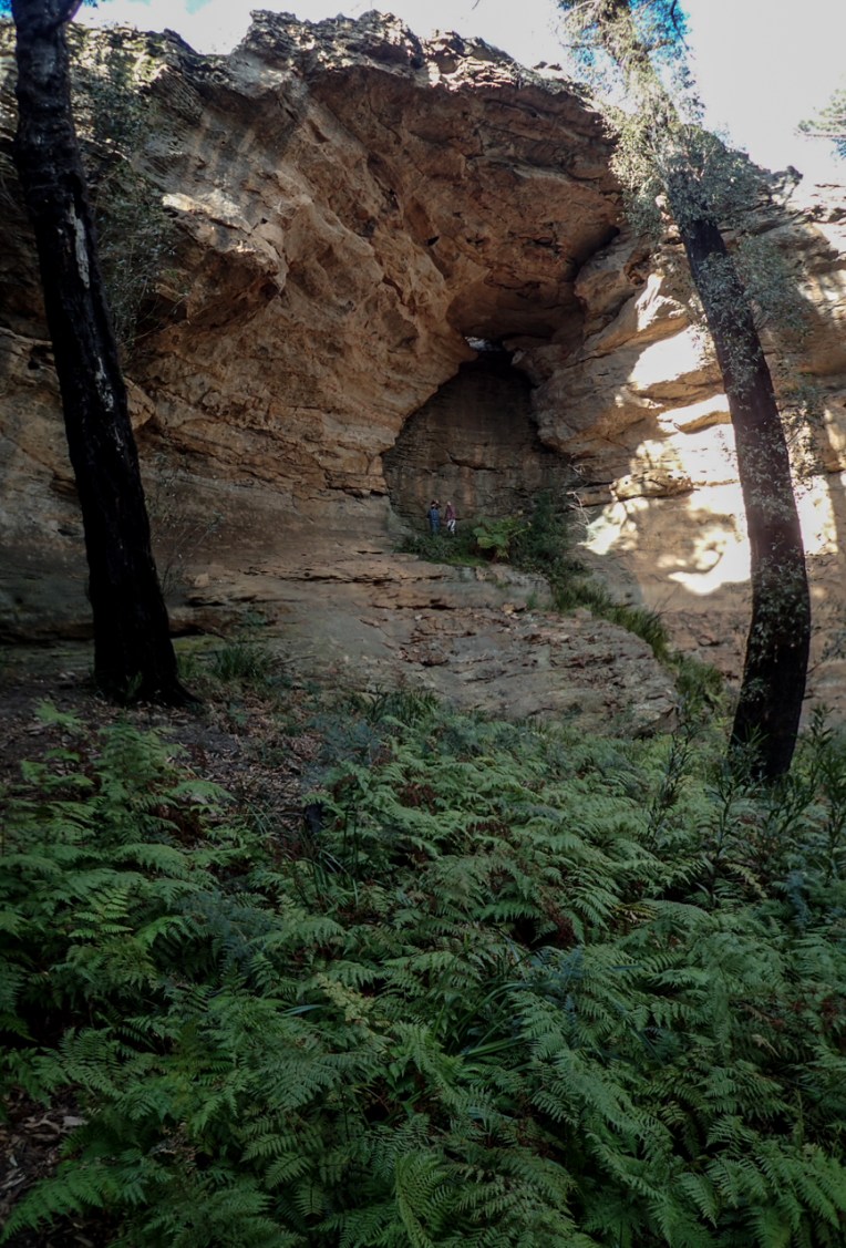
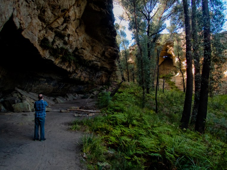
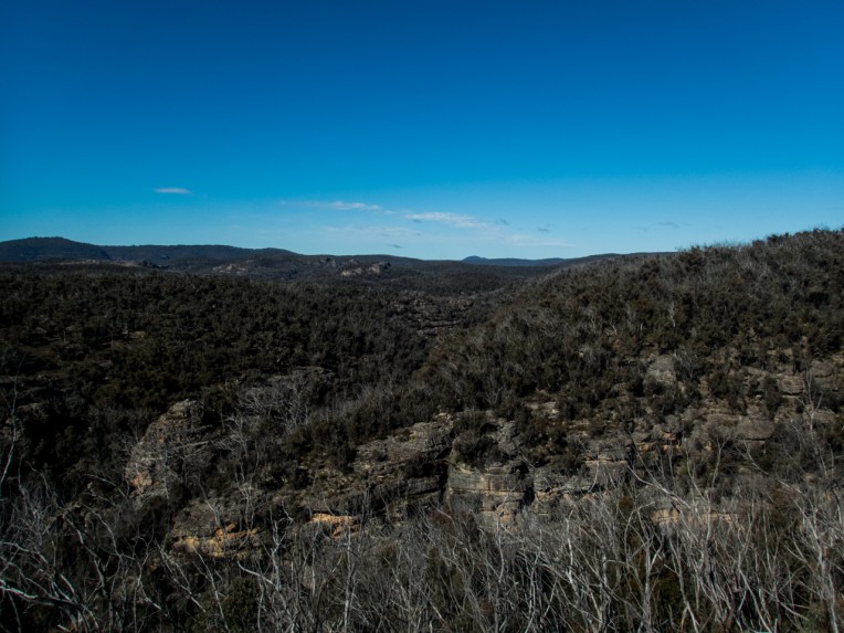
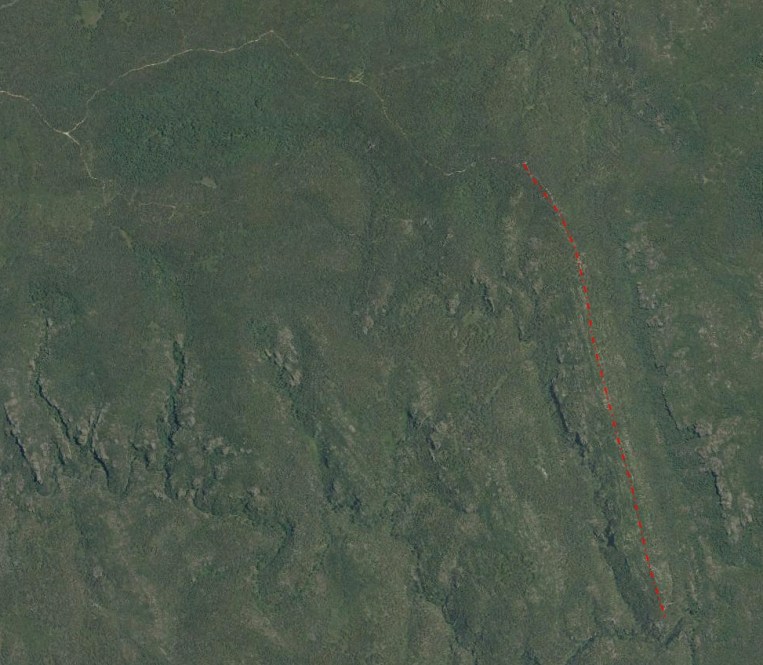
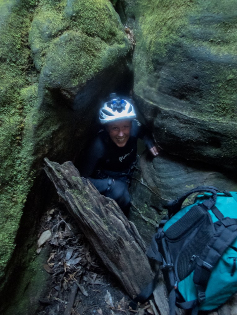
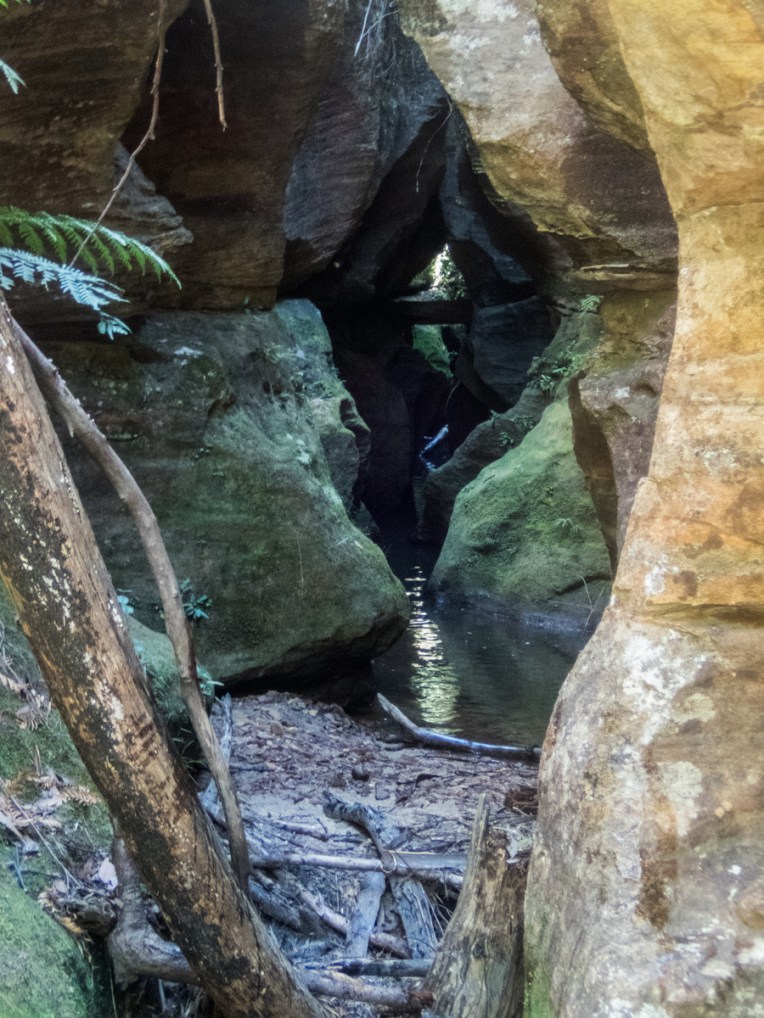
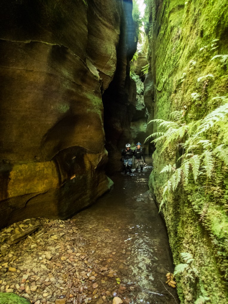
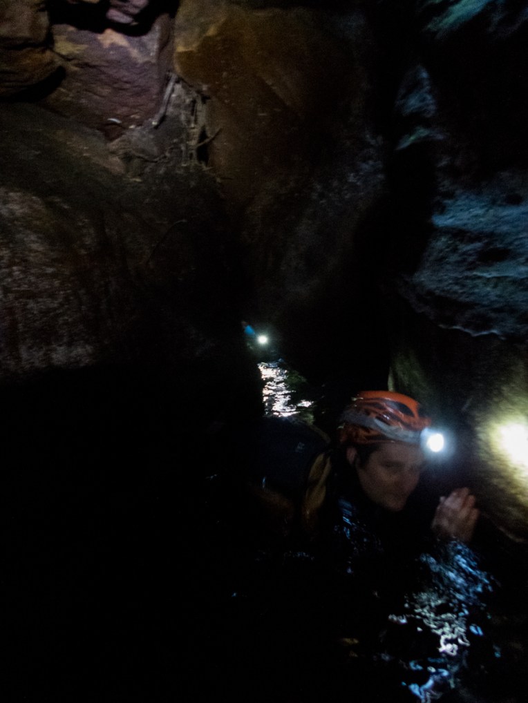
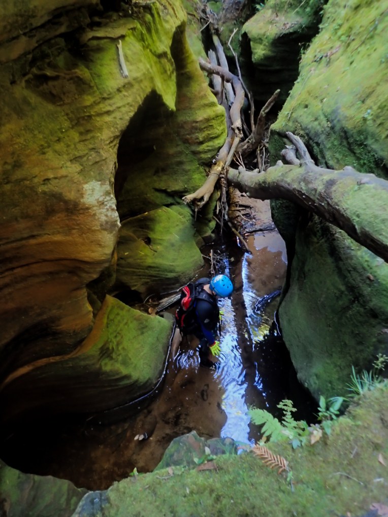
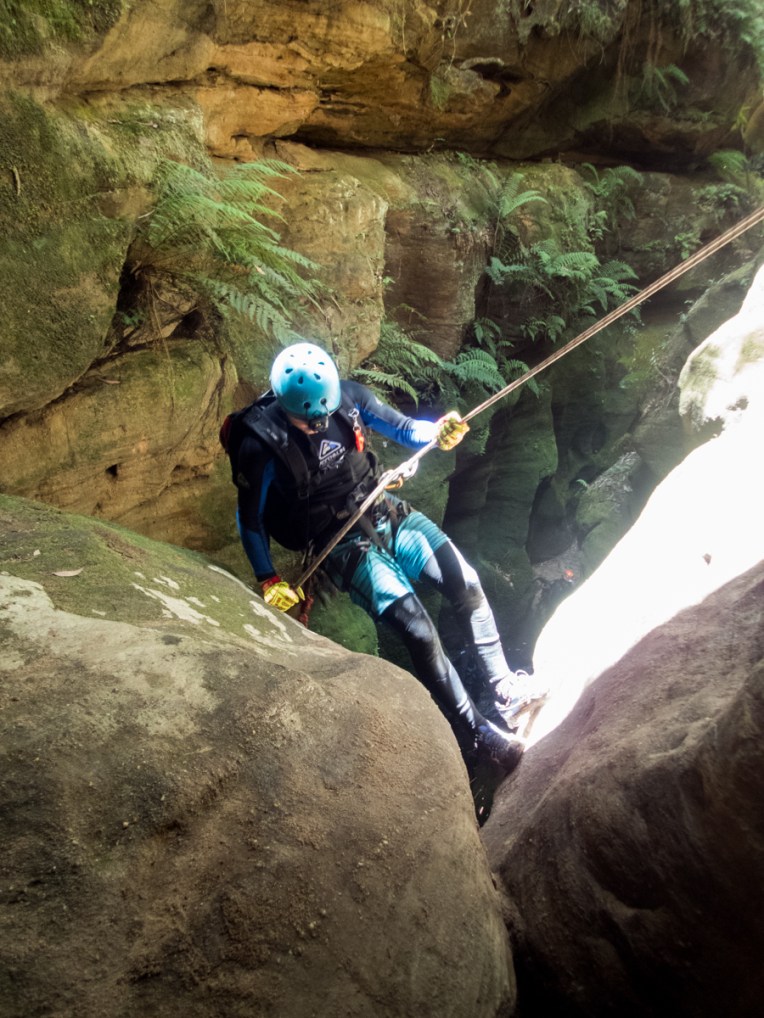
I explained the naming of Whungee Wheengee on the write up of our previous visit there. It’s a great canyon with lots of different challenges, or “Activities” as Ed described them, things of interest and wow moments. It’s very technical in places and the water is much colder than that of the wider Wollangambe. It’s also reasonable sustained.
Anyway, on a hot day it was a great place to be.

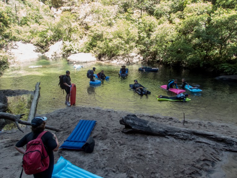
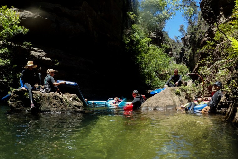
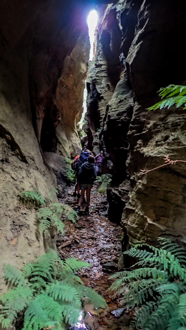
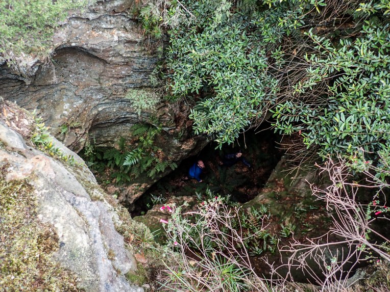
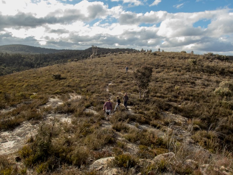
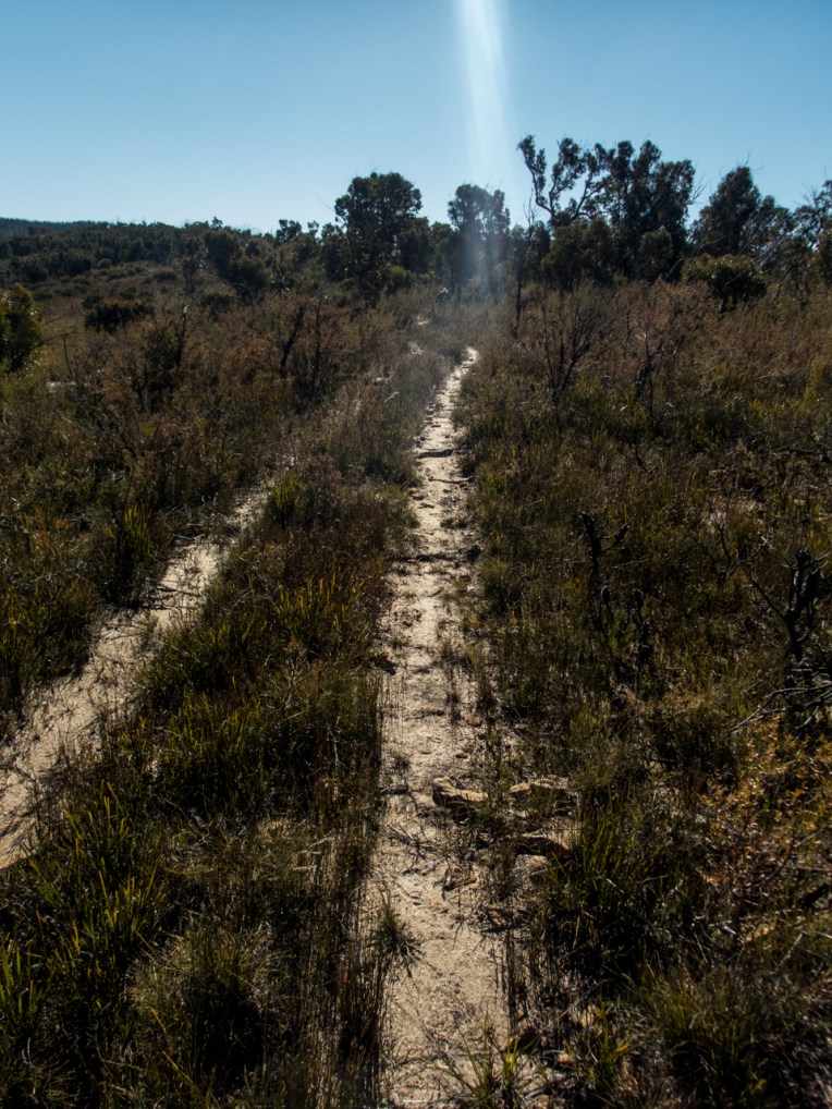
On the walk in we had caught up to a larger party at the climb down the tree roots, They were doing Whungee too and graciously waved us throu. They caught us on the climb up the other side and again at the abseil point. but were happy for us to go in first.
Through the week a couple of groups had posted to Ozcanyons about a brown snake inbetween two of the abseils. I let our lot know to be careful and let the other group know as well, offering to point it out to them if we saw it.
We saw it, waited for a while but it was getting a bit cold and while we couldn’t think of a way to notify them we figured it had been really obvious so they’d have no trouble spotting it. We meet up again at the exit beach.
Did you guys see it? asks Ed
Yeah, laughs one of their guys, wasn’t quiet the size they made out.
Ah it was a good meter long, Says Gaz
Really? The one we saw was tiny… Holds up his hand 15cm apart.
Ok there are a few snakes in Whungee Wheengee at the moment.
Anyway on with the show
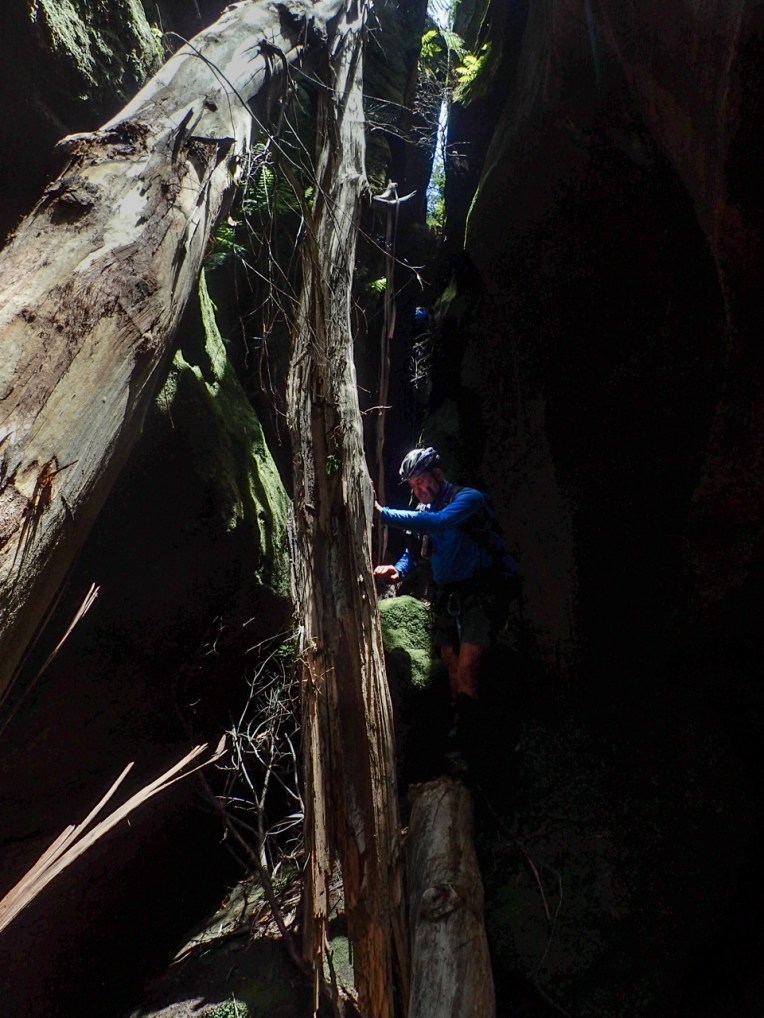
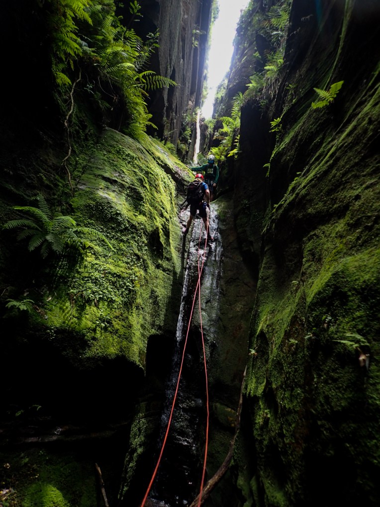
Abseiling down the cliffline into the creek I was molested by a dead tree… It grabbed me right on the arse…. Well it caught my shorts that I wear over the wet suit to protect it a bit. Um I’m kinda stuck.
There was a little fork in the top and it wasn’t letting me go. I was nearly ready to crack the prusiks out. Before I did I tried a final pull up with the top hand and reef on my leg. Rippppppp!
OK thats the 3rd set of shorts I’ve torn the arse out of in 3 canyons…. Bugger
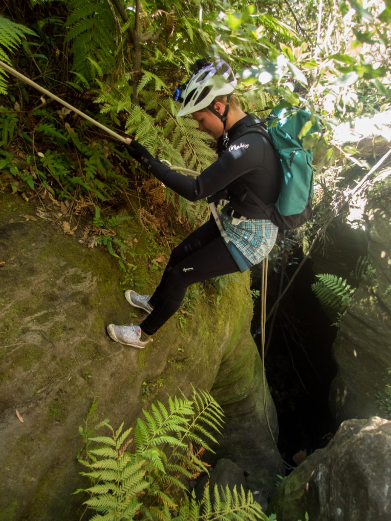
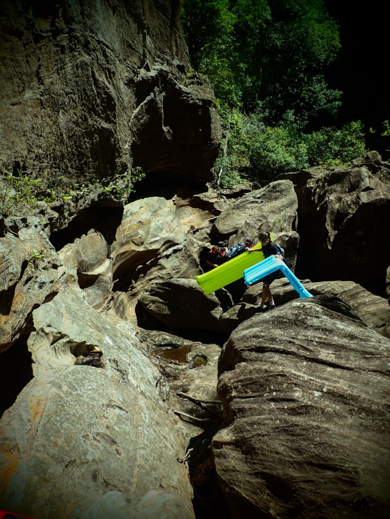
Optional? yep you can bypass this bit by staying on ledges above… No idea why you would though, unless it was in high water or you are in a big hurry.


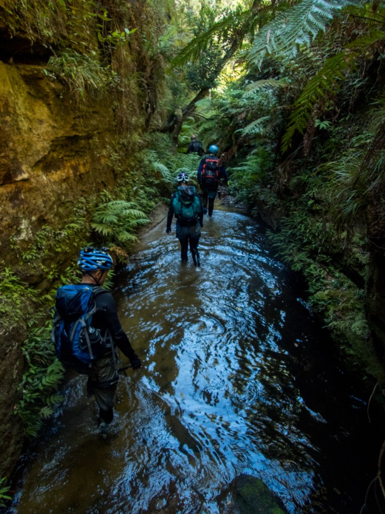
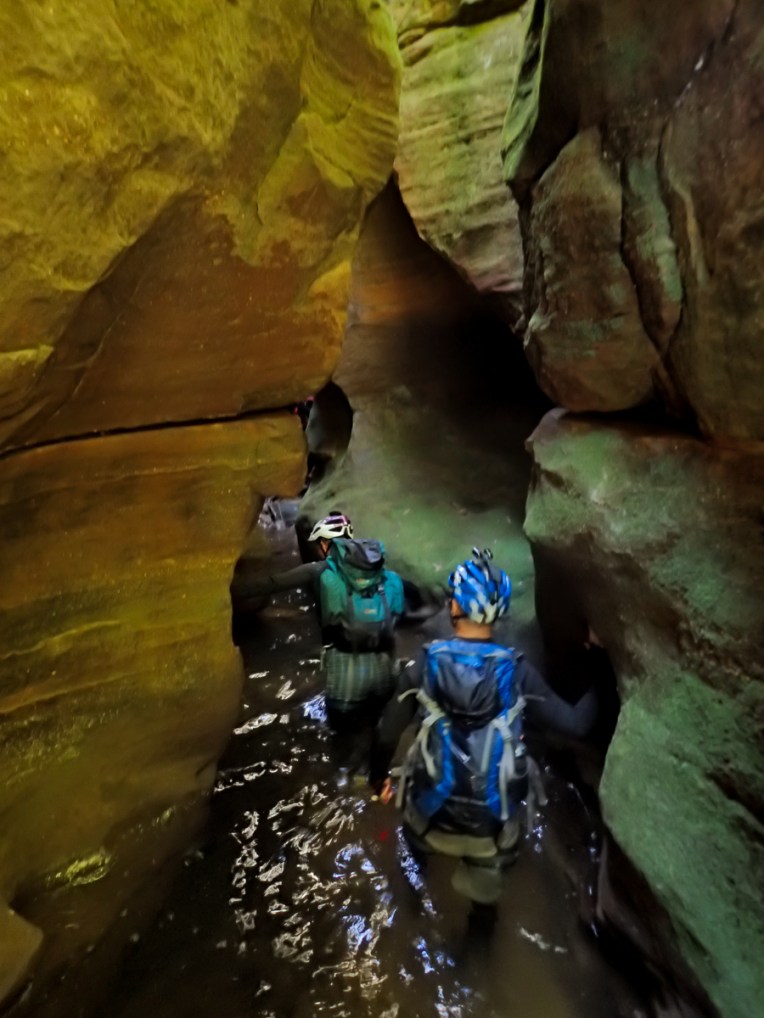


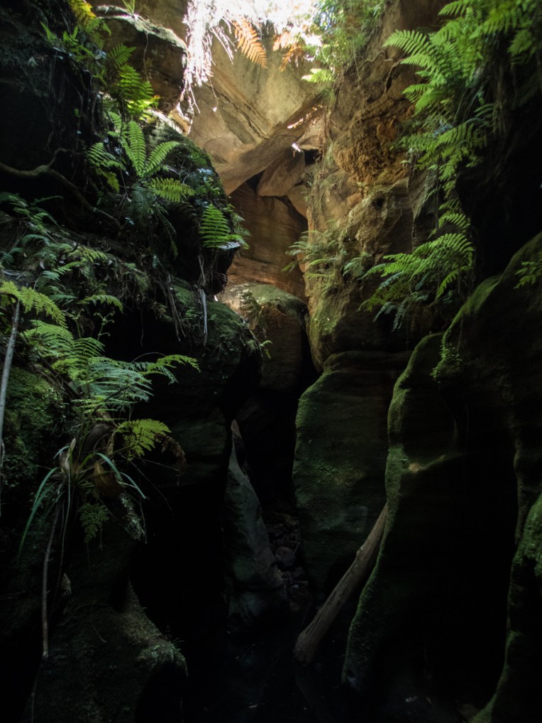


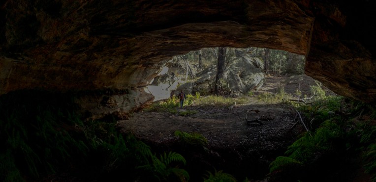
Another great day out in the great outdoors with great people. Whungee throws a little bit of everything at you and never has a dull moment. I’d have to put it in my top 5 favourate canyons
Group Size:5 all experienced
Time. 8hrs car to car
This edit is slightly longer then normal but Whungee is such an action packed canyon and gaz got so much good footage I thought it worth it.
Human beings make life so interesting. Do you know that in a universe so full of wonders, that they have managed to invent boredom.- (Terry Practett)