
2025 Anzac Day long weekend.
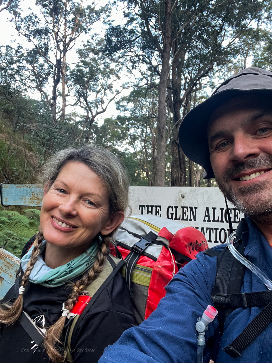
Kylie and meeeeeeee
This trip nearly didn’t happen. I’d been coughing up a lung and had full body aches after Ashcroft Ravine. I was ummming and arrrring about calling it off, especially when the weather looked to be turning wet and cool and the rest of the crew pulled out due to illness and work commitments.
How about we do a shorter over night trip? says Gadget.
Um I’m not sure says I
Come on this has been on your list for ages, says she, Let’s pack the bags and decide later in the week.
I started improving and once the bags were packed it seemed silly to repack for a shorter trip.
Anyhoo
In 1904 or there abouts the bush poet, vagabond and phrenologist, Cecil Poole wrote a description of the creeks in the area we were headed “The term gorge is not applicable to the creeks of this district. They are true canyons.”
Early cattlemen, ruffians, vagabonds and rogues knew the wild, twisted beauty of this section of the Wollemi. Not as intricately as the natives who had travelled its passes and decorated its walls for time immemorial, but well enough to know it was a maze of ravines, canyons and complex spurs.
Still, being further from Sydney and with lots still to discover closer to train lines and highways the area was largely overlooked by modern canyon explorers.
Until, that is, legendary bushwalker, ecologist, and all round nice bloke, Roger Lembit, was leading a midwinter bush walk in the mid 80s and ventured down what he thought would be an easy pass and instead stumbled on a deep slot canyon.
With no ropes or waterproof gear they opted not to venture down. Instead, they retreated and found a spur that took them to the bottom where they camped the night. The next day Ian Wilson and Michael Donovan opted to brave a cold pool at the end of the slot and ventured up, finding an astoundingly beautiful slot canyon. (It has a total of 0 abseils but I still put it toward the top of my list of favourite canyons based on shear beauty.)
This sparked an explosion of canyon exploration in the area and it was soon found to be densely packed with canyons. Some more scrubby creeks but many containing high quality slots.
But all that is neither here nor there nor anywhere in between.
The fact is I’d barely dipped my toe into this region but had day dreamt of one particular canyon situated off an isolated spur, well off the beaten track. I was well overdue to go for a look.
As luck would have it both Kylie and myself had an extra long weekend to do just that.
We made a late start Thursday afternoon.
The walk into our first camp is along an easy fire trail. However, I soon had a bit of a niggle on my left heal. It’s been so long since I’ve had blisters and it was such an easy walk I didn’t even register that might be what was happening. Needless to say by the time I stopped to check it was too late.
Idiot.
But really, blisters! After a couple of kilometres!! I can’t remember the last time I had bloody blisters!!!
Anyhoo we press on.
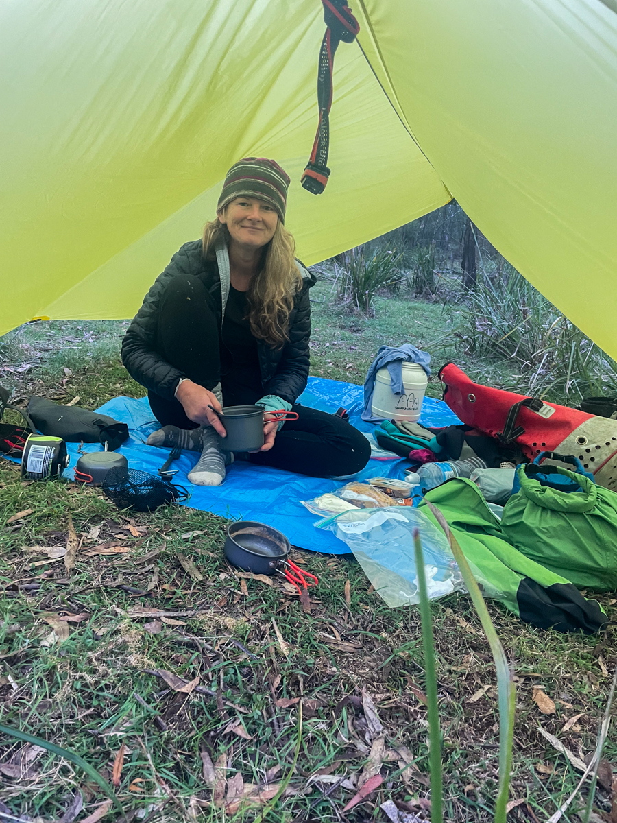
We reach the usual camp site to find a family already setup. They had been there for the full week and the kids, 7 and 5, excitedly regaled us with tales of the canyoning adventures they had experienced. Legends have done more wilderness canyons than most adult canyoners.
Friday
Having done canyons either side of our target for today I had high hopes of it.
I pick a spot to leave the road and Kylie navigates down ridge.
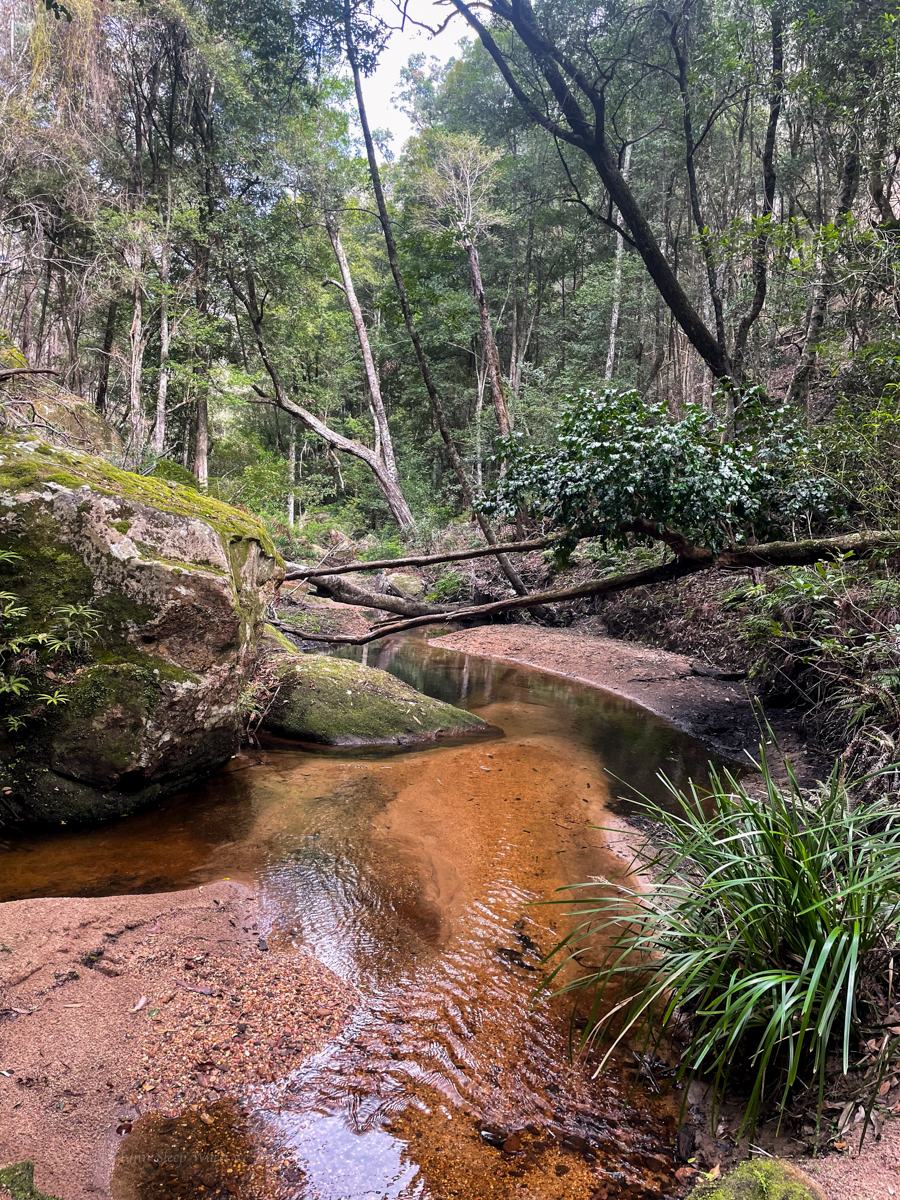
We gain the creek surprisingly easily and follow it down.
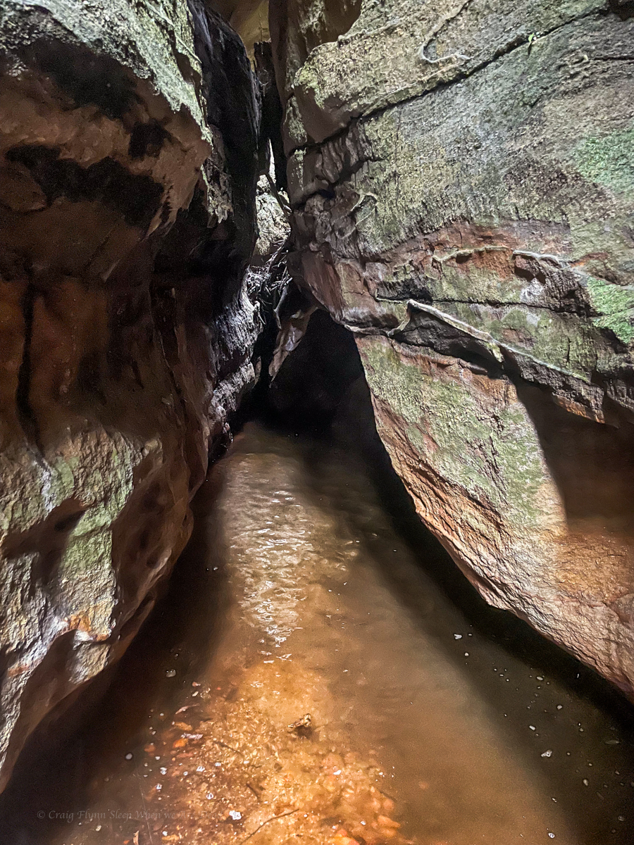
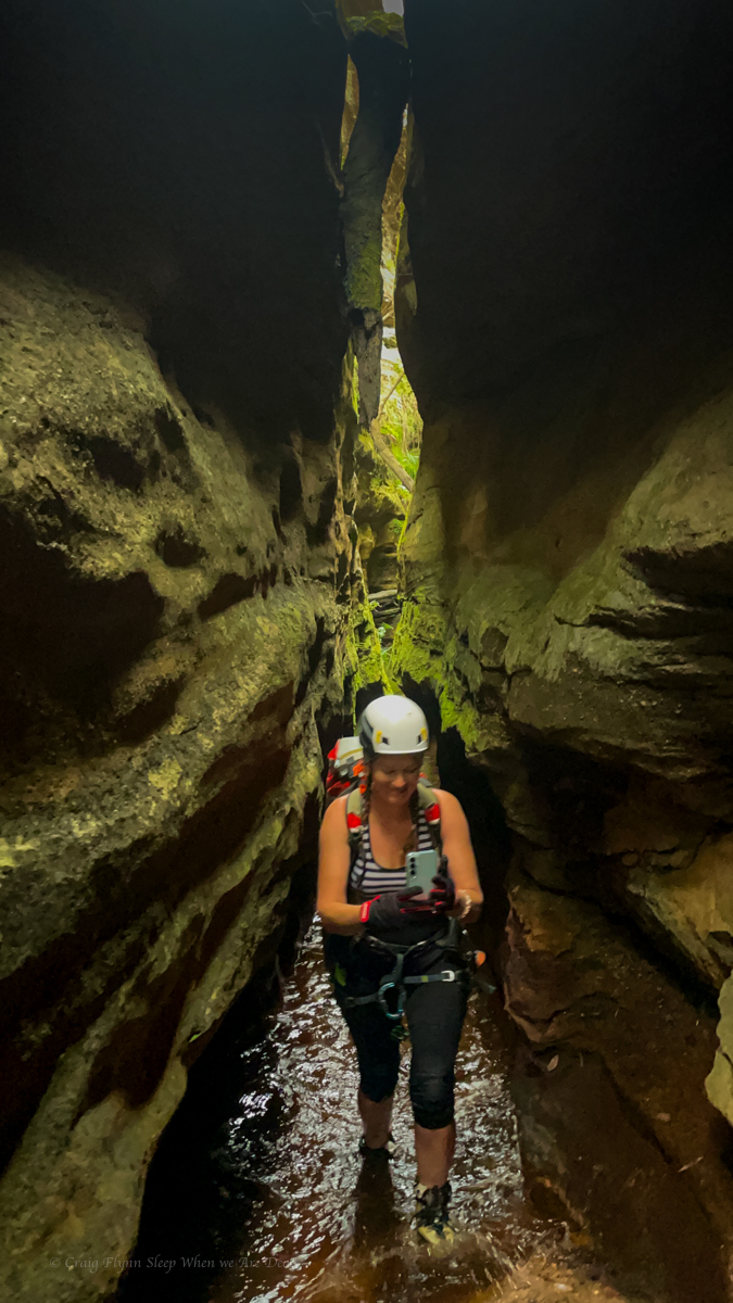
It soon drops into a narrow canyon.
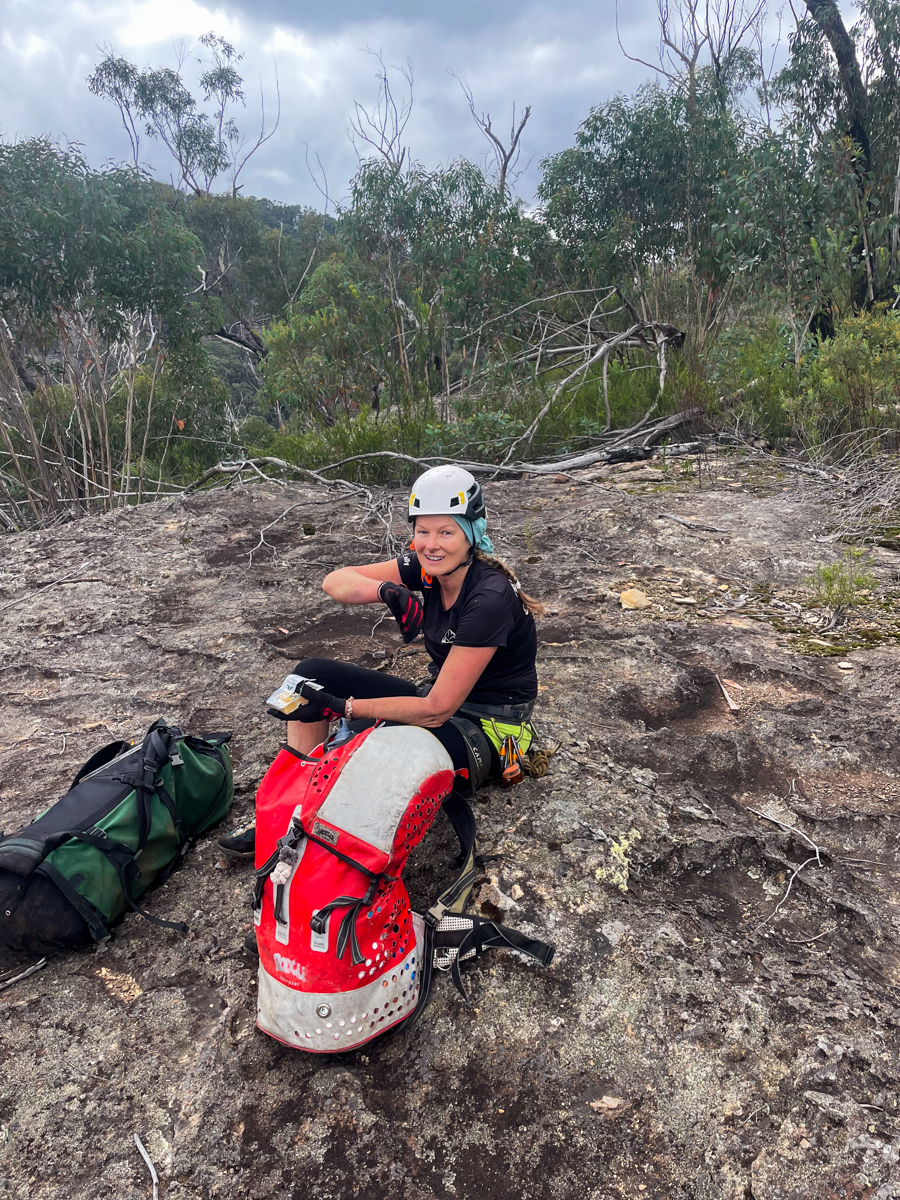
With a bung shoulder I opt to abseil things I would usually scramble but we get down soon enough.
Well, not skipped. The boys warned us last night of a brown snake lurking near the first pool so we went a bit cautiously.
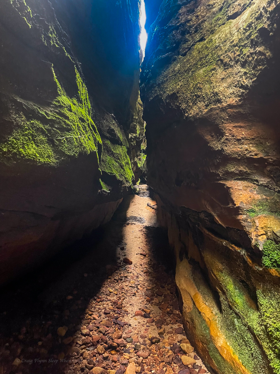
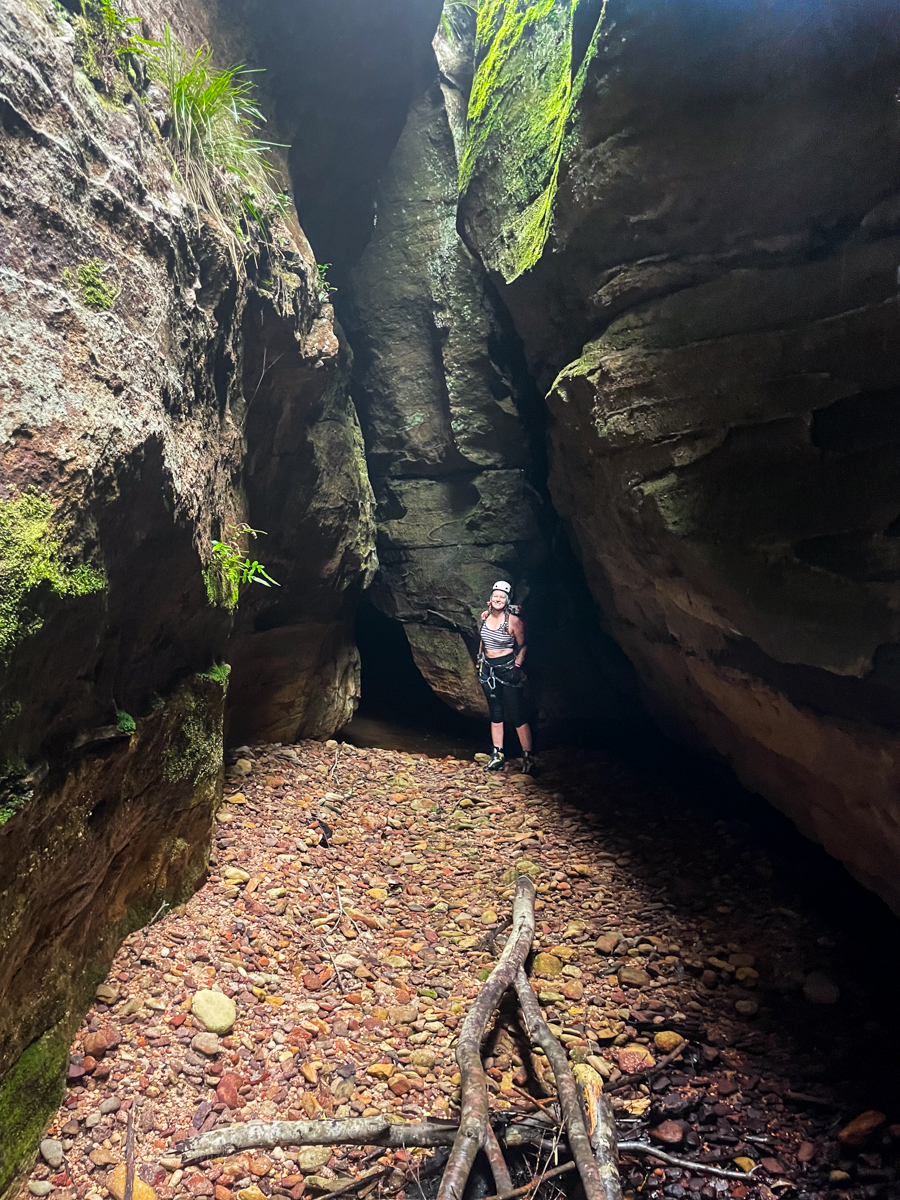
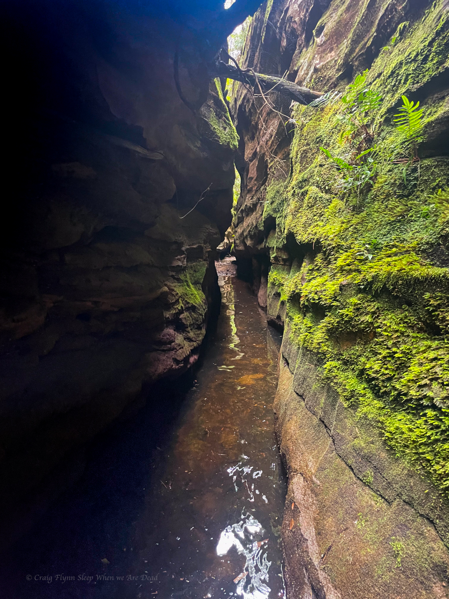
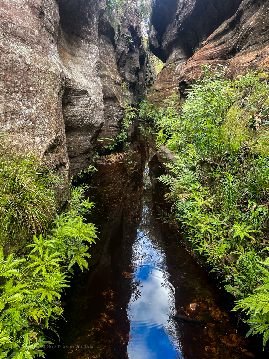
The slot had been nice and all but not mind blowing and a lot shorter than I was expecting. Compared to others in the area it was a bit of a fizzer. And we were still a fair way off the junction of the main creek below.
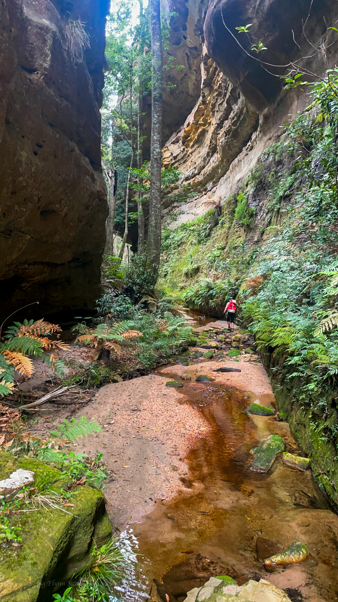
We follow the the widening gully down, boulder hopping and creek bashing to the major creek below
Long sidetrack: The names of the creeks around here have such evocative names, but that could have been very different had we had a different Surveyor General intent on mapping the state.
Major Mitchel, of the pink cockatoo fame, was by all accounts a bit of a cock. Invariably described as pigheaded, arrogant and boorish he was the protagonist in Australia’s last recorded pistol dual with soon to be NSW Governor Darling. None of this old west quickdraw Hollywood bullshit. The combatants stood back to back, marched out 10 paces, turned, and like the civilised gentlemen they were, took turns having a shot. Flinch or get shot (obviously) you loose.
Mitchell having thrown down the challenge by slapping Darling with his glove had to go second. Darling took a shot and missed. Michell then took his shot and knocked Darling’s hat off so was declared the winner.
Anyhoo none of that is important to this side story other than I found it fascinating. What is important is Mitchell also had a redeeming factor in that he insisted that, where possible, aboriginal place names were to be used on his map.
When an early sketch was sent in by one of his under surveyors making a nearby creek with the local land owners piss take of a name “The Upper Nile” he basically fired back words to the effect ‘stop being a dickhead and find the bloody native name for the creeks, and if you can’t do that don’t name them at all.’ (probably so he could name them after Macquarie or some shit…)
And thus we have the Coricudgy, Umbiella, Numietta, Coorangooba, and Capatee. (pronounced Kay-pa-tee by the locals and originally spelt Capata on the sketch map )
Of course we still have the Bogee Nile and the Capertee Nile…. but that’s not important either.
Too get back to the story, we’d be using another high camp tonight so we’d need to cart water up. Enough to get us up, cook diner, breakfast, and at least part way through the canyon the next day.
We fill up and start up a creek that should allow us to scramble out at the top. However, a couple of tangled tree falls at the bottom and Screw this shit, says I. I’m going up there.
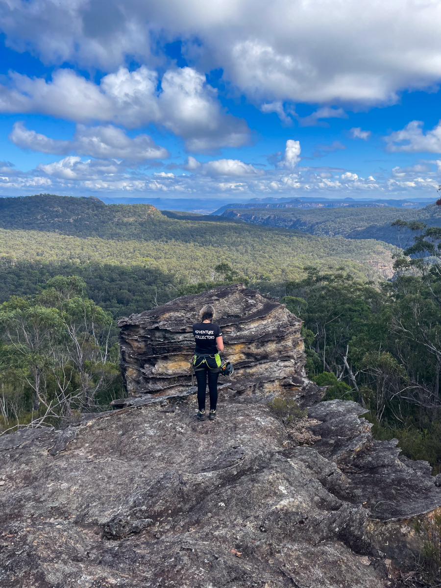
And we forge a pass up the nose onto the spur.
And Kylie leads us up the spur avoiding some minor cliff lines by simply skirting around them.

One thought on “Wild Wet Wollemi Wilderness 1”