18-11-2023
Continued from Bubblebath
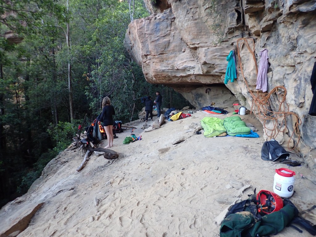
We have a lazy start to the day.
We weren’t expecting the others until 9:30 at the earliest and given our slow going on the ridge we decided to wait til 10.
A couple of cooeees and we thought we heard a faint reply. I slip up the gully a bit to guide them down. More cooees and whistle blasts but no response.
Back at camp we scratch a note in the dirt and head for Crikey. it’s 10:30.
We cross the ‘Boori (dingo creek) and start making up way up the opposite gully. It’s full of dead fall and scrub. It’s slow going and we’d already had a late start.
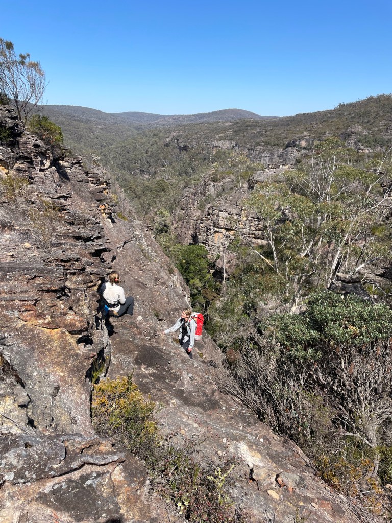
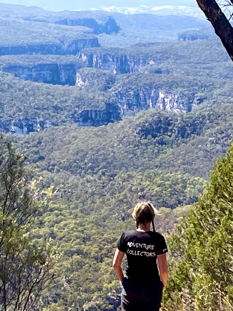
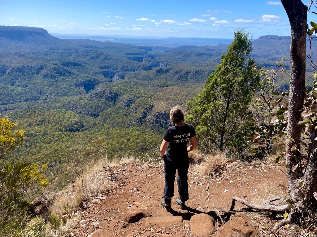
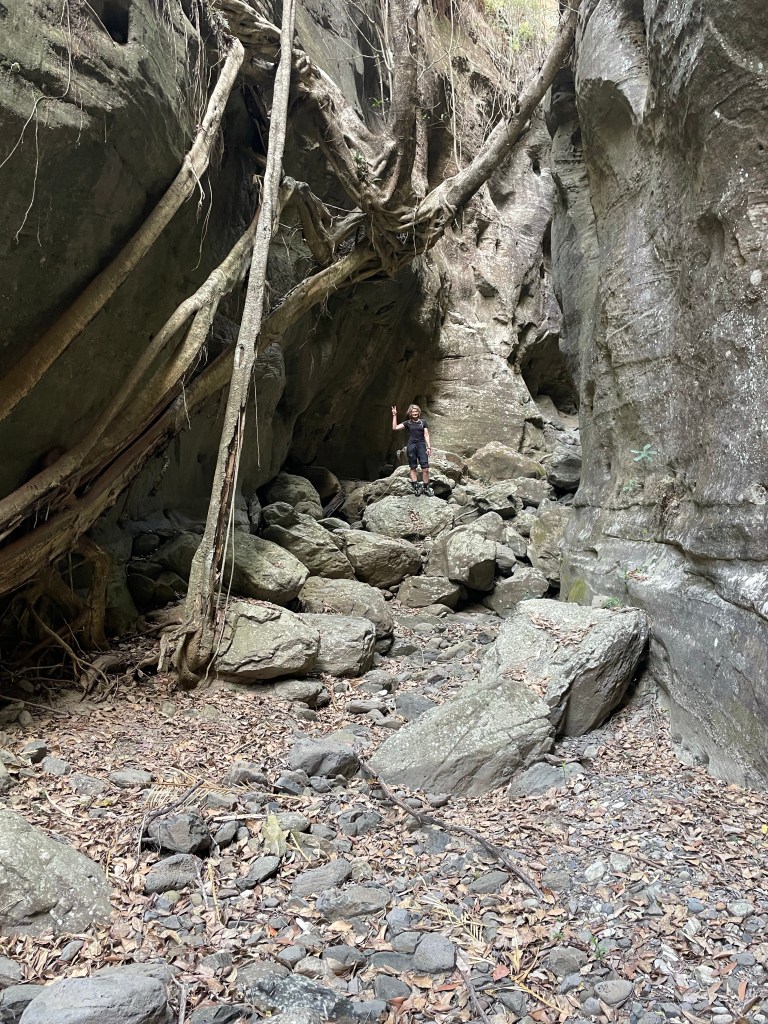
I spot a break in the cliffs and decide to try to climb out. Kylie is skeptical but we escape the gully and make heaps better time along the ridge.
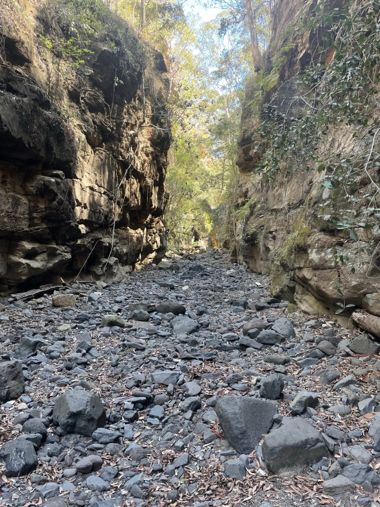
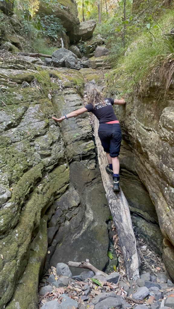
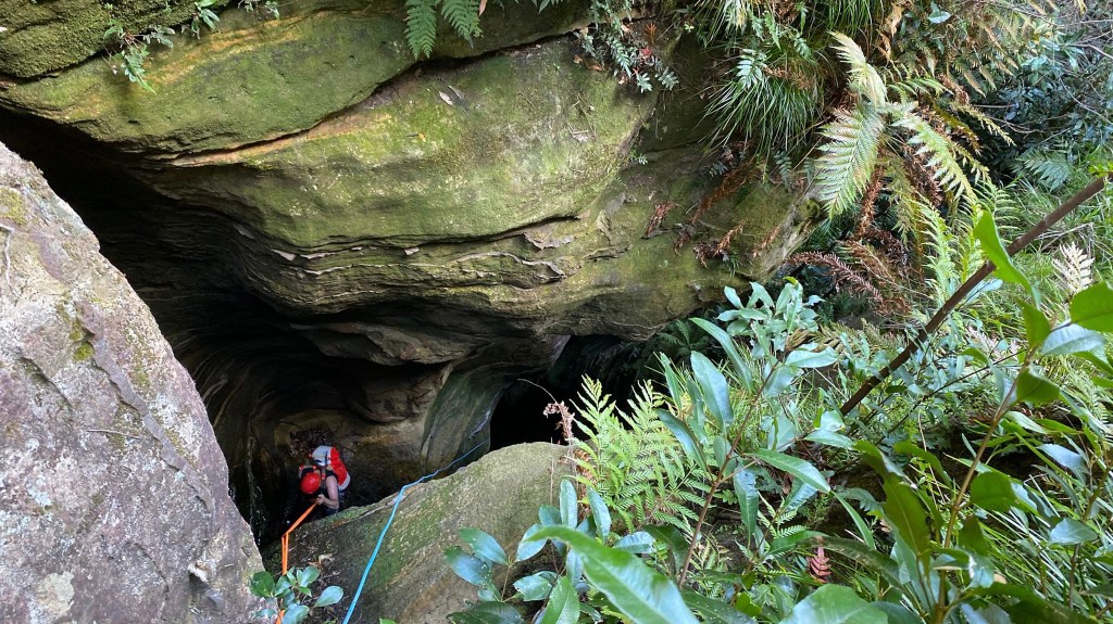
Dropping into the creek at Kent’s entry (well downstream of Jamieson’s grid reference) we encounter walls of dead fall. So much.
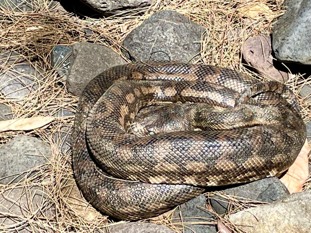
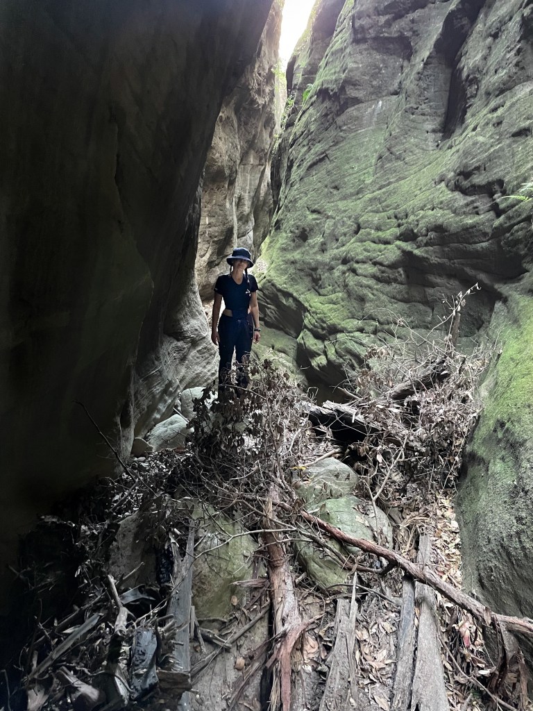
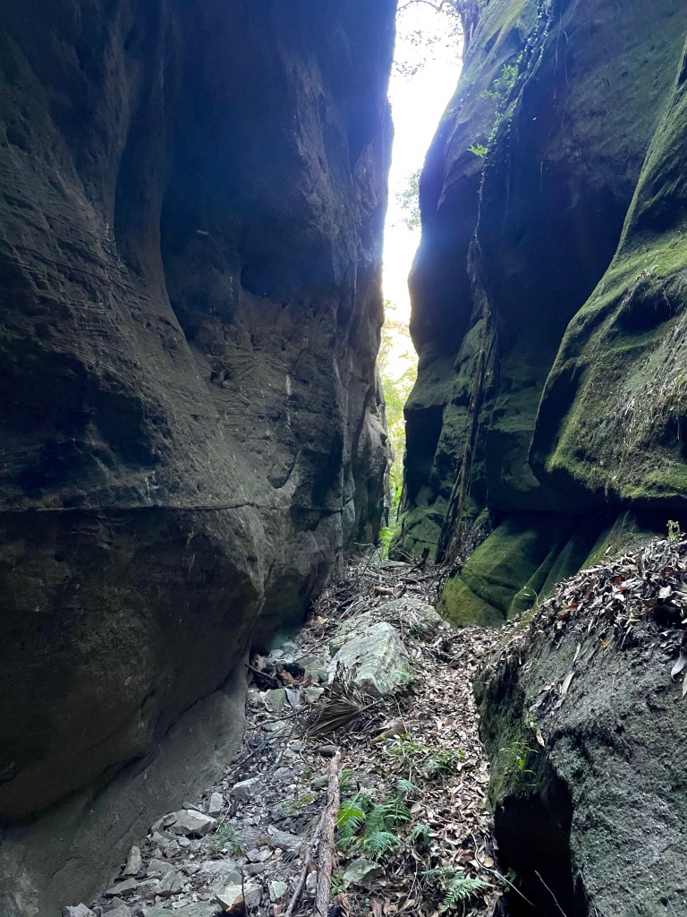
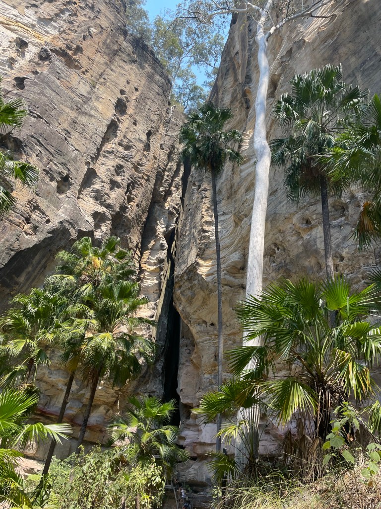
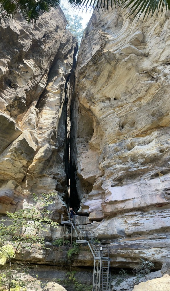
It was a real punish. by the time we get to the canyon we are bruised and bloody and just a little over it.
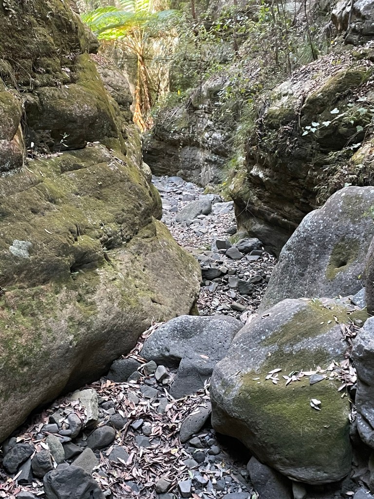
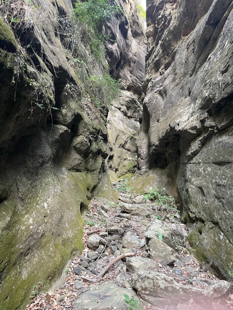
There are several breaks in the cliff further down. I’d suggest future party’s explore their way down the spur and drop in closer to the canyon proper.
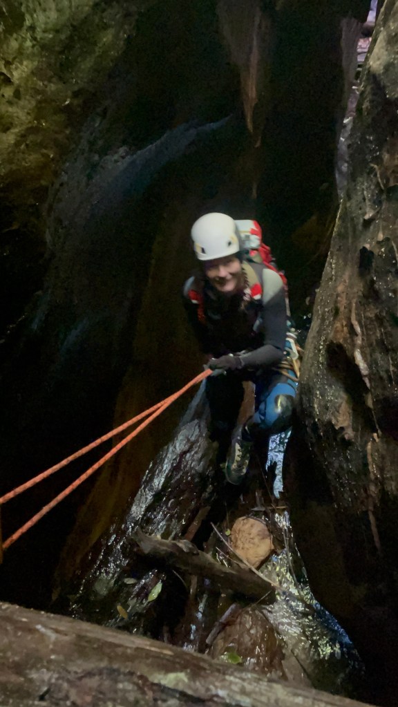
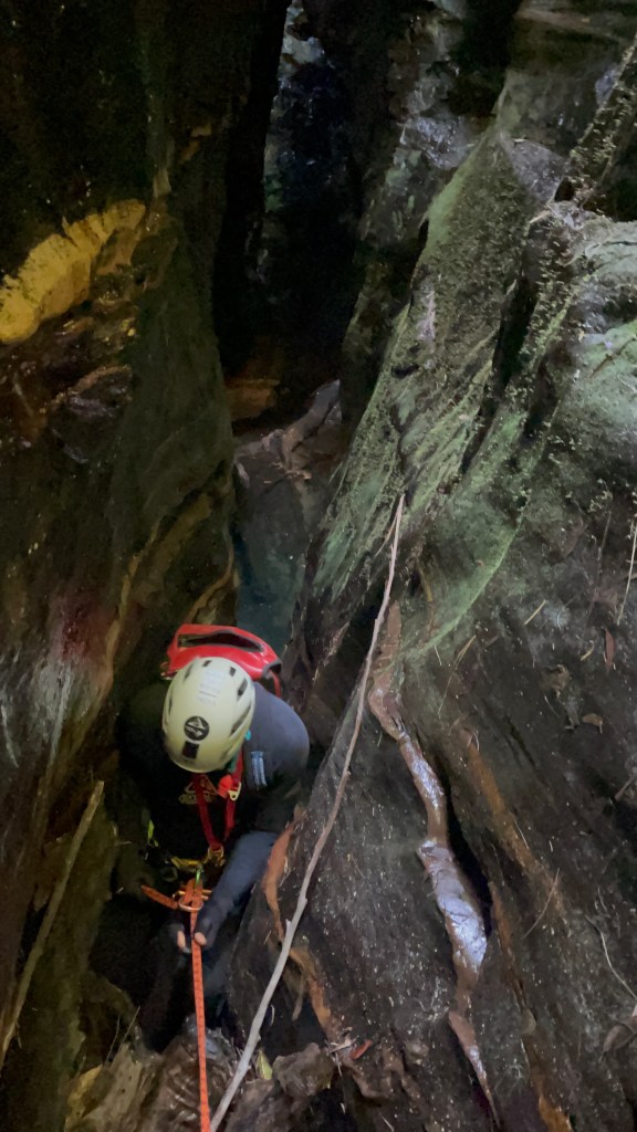
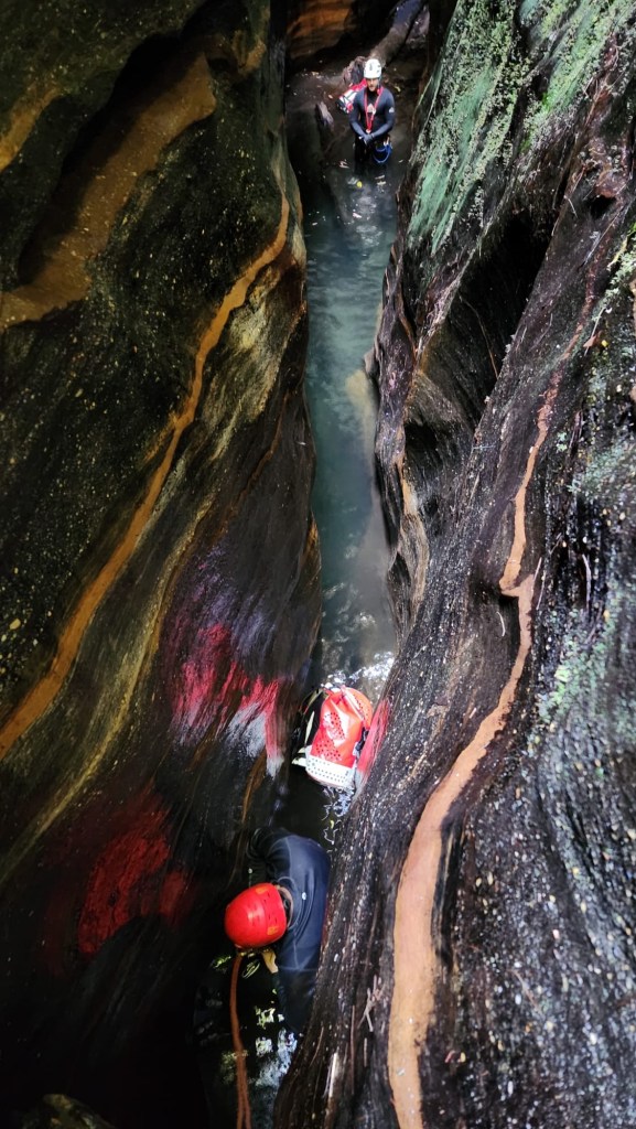
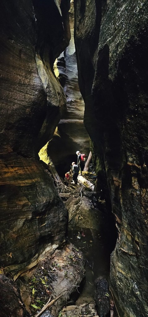
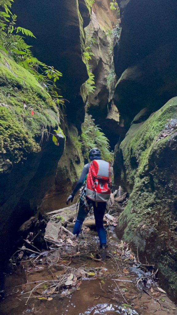
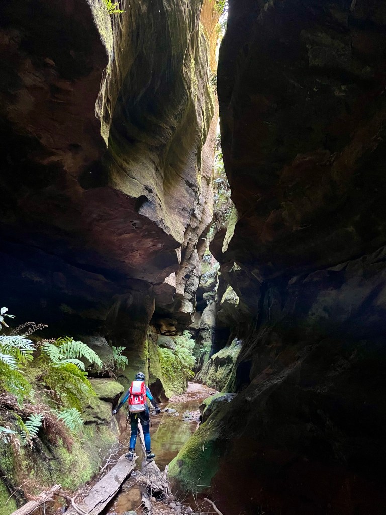
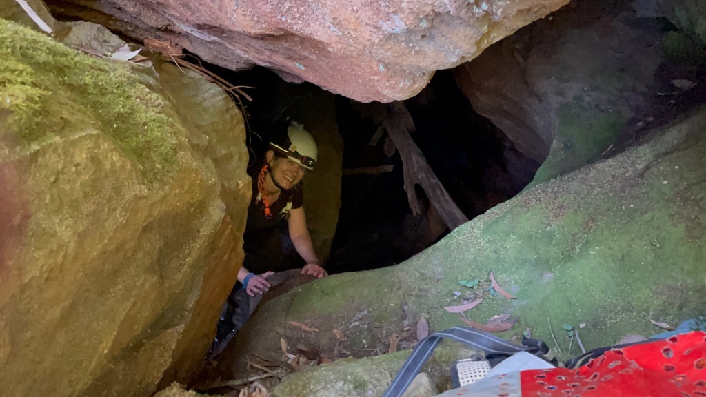
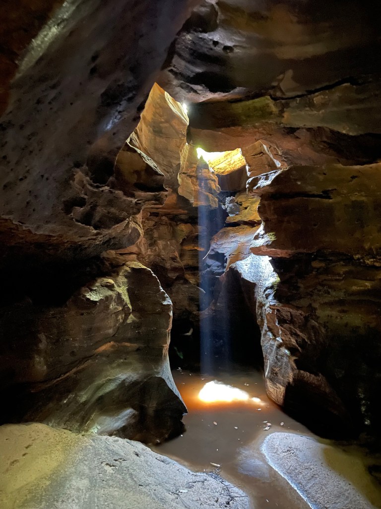
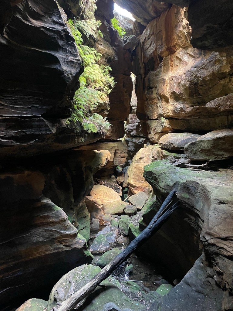
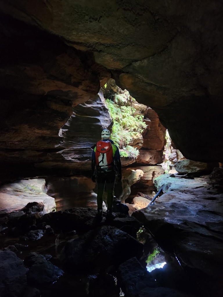
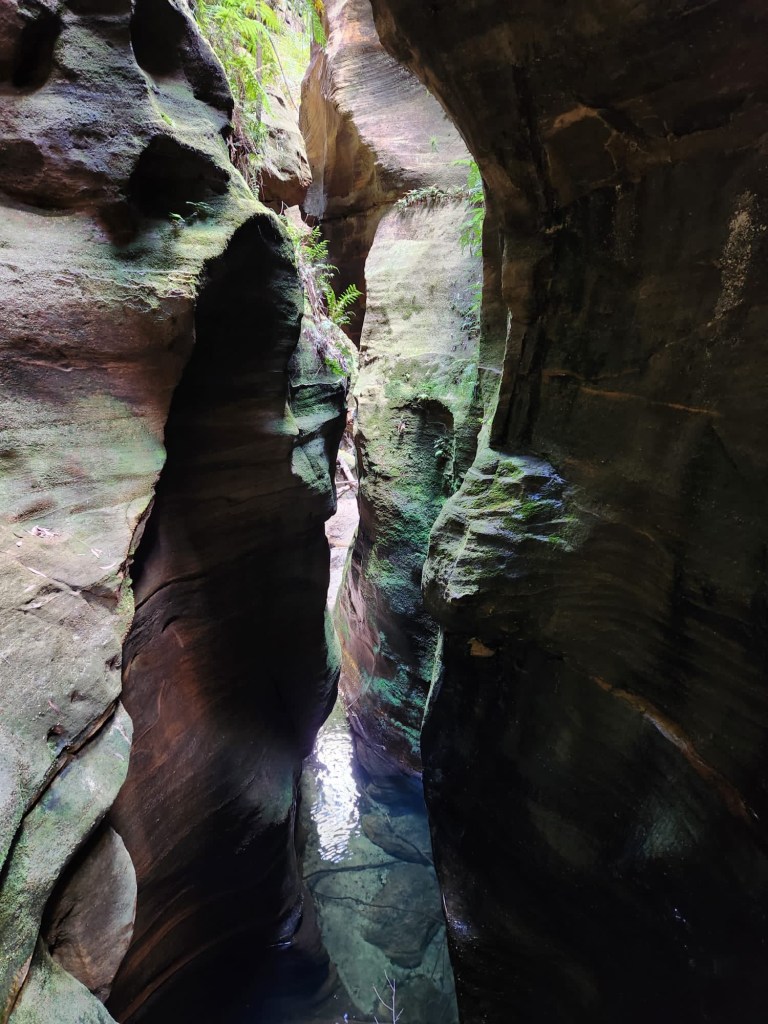
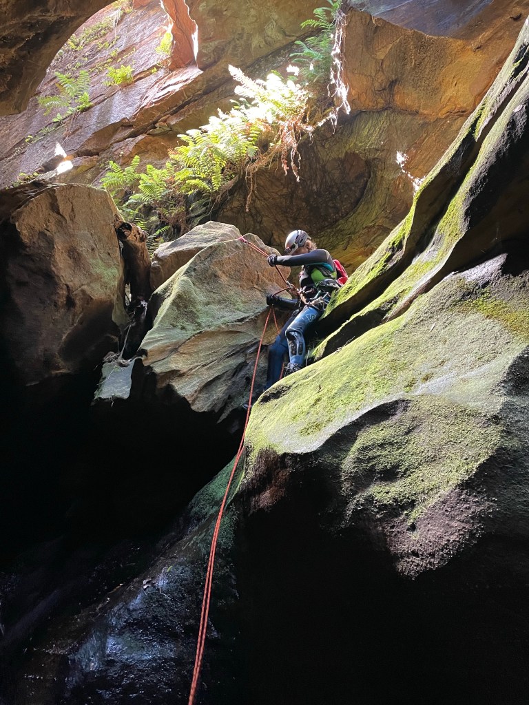
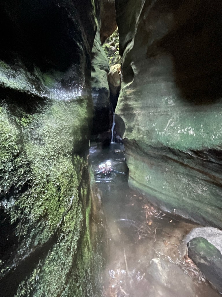
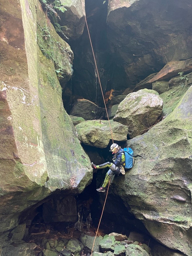
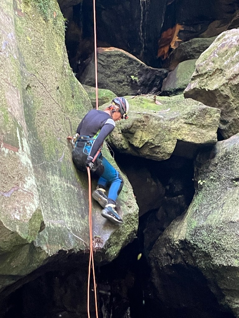
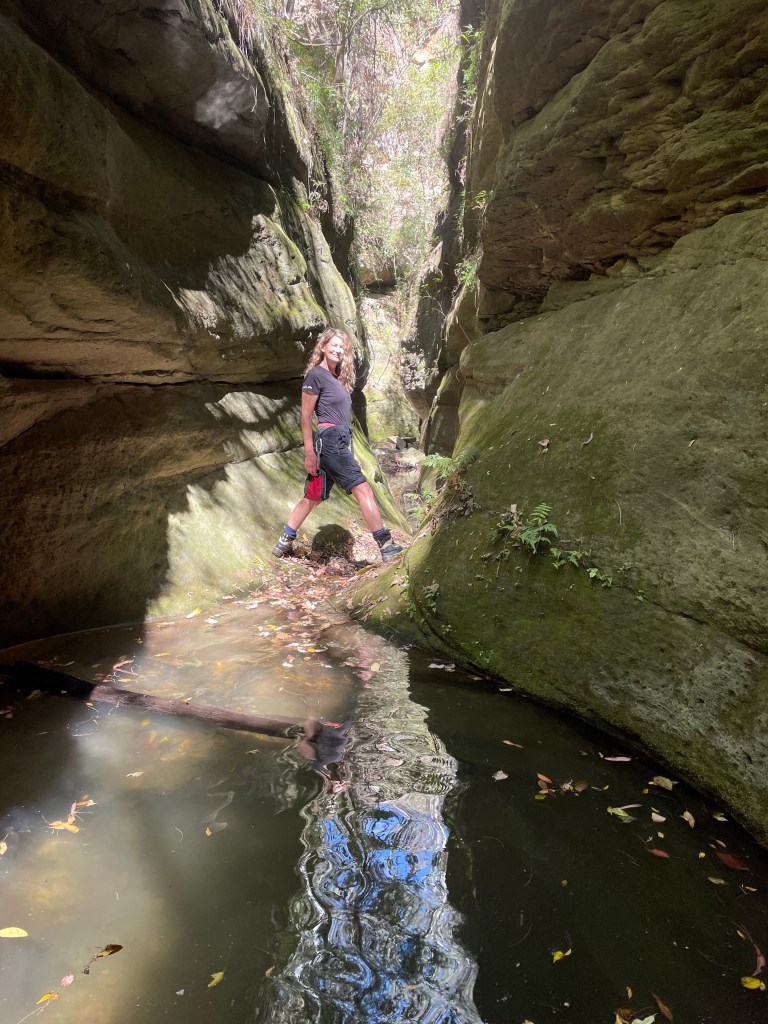
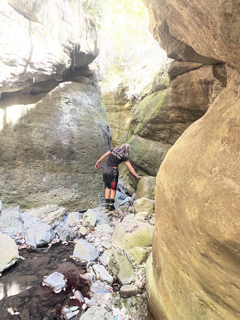
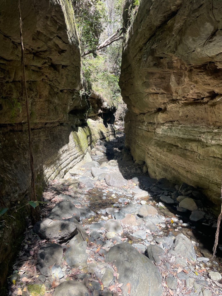
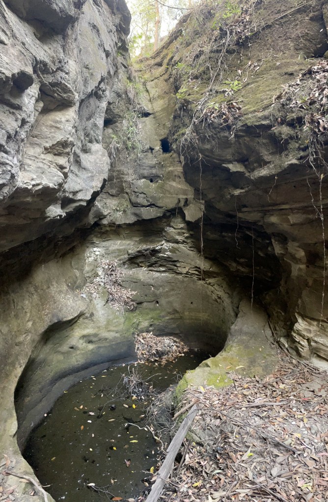
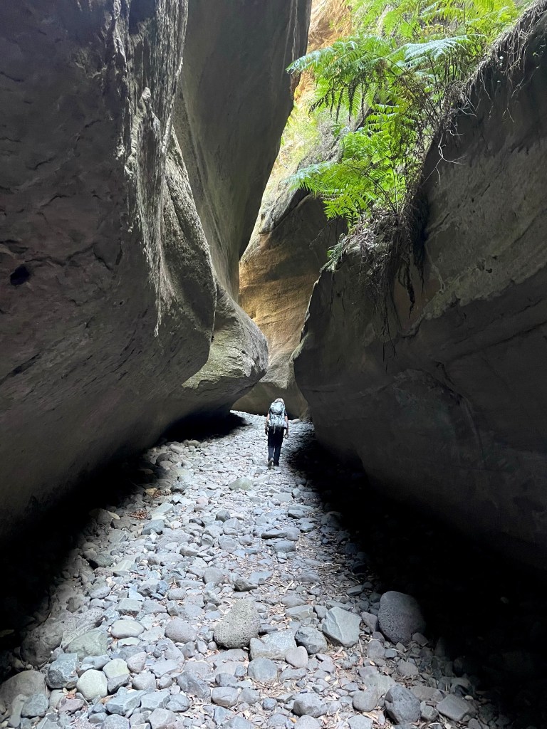
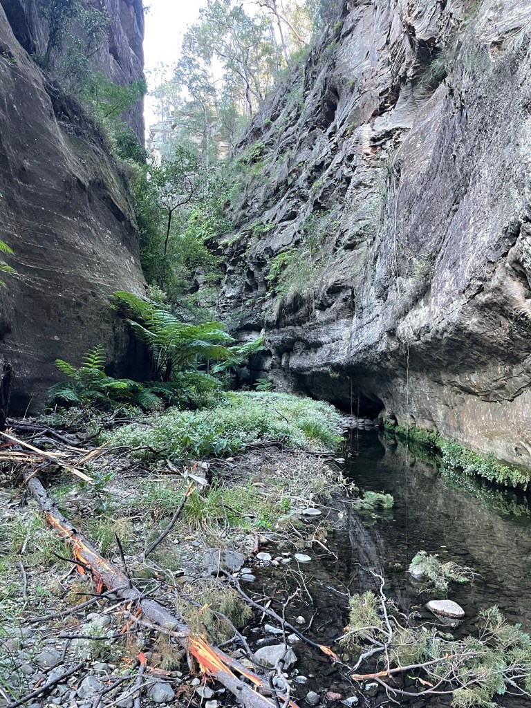
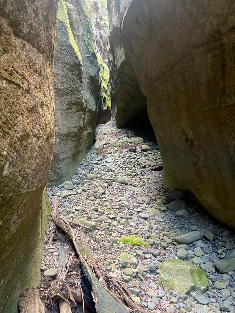
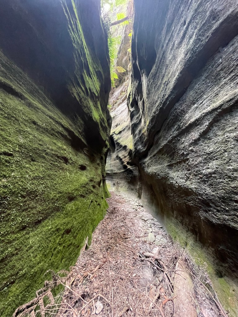
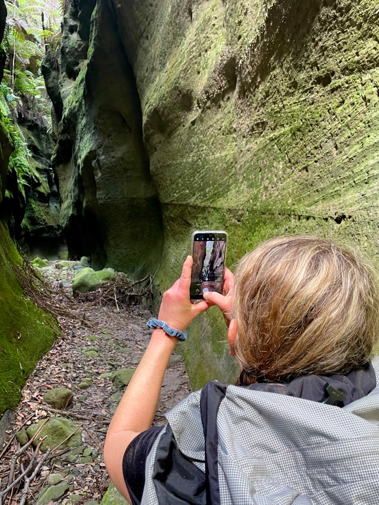
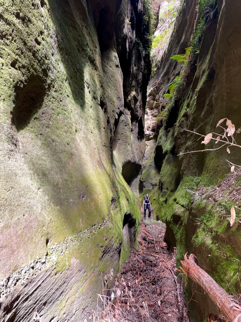
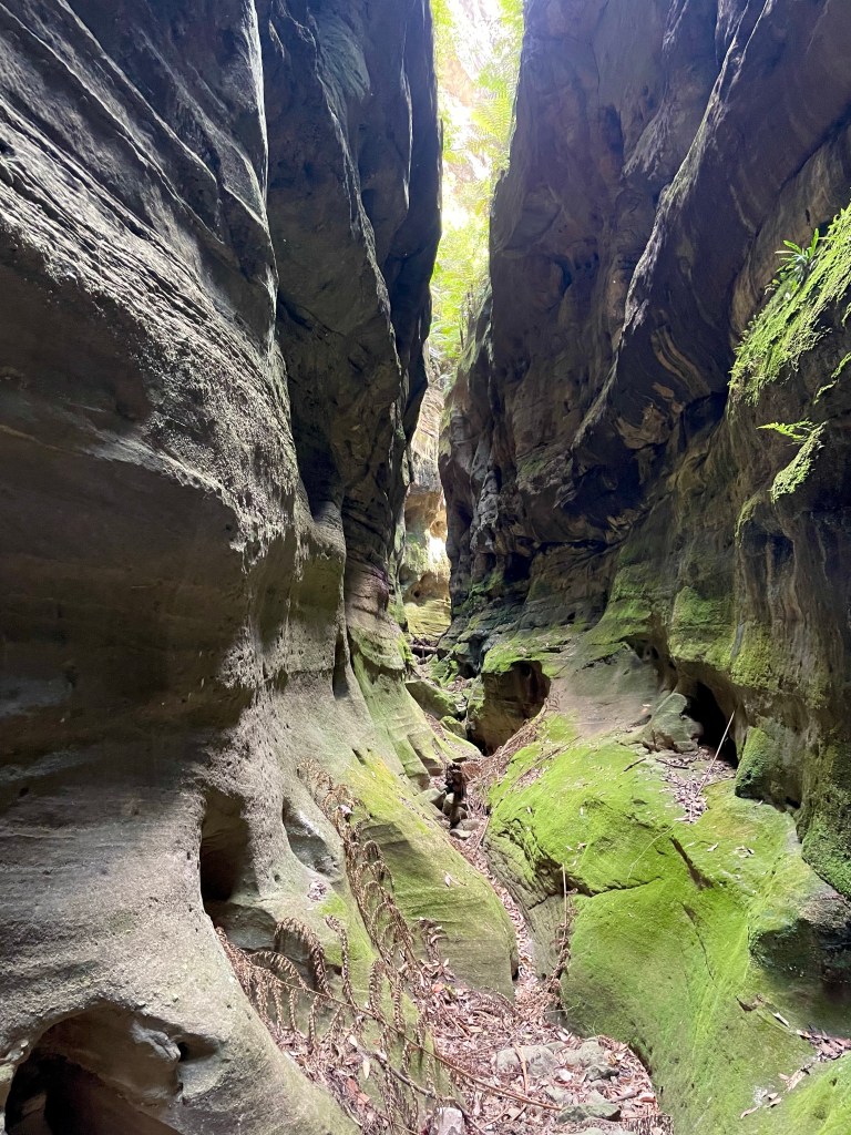
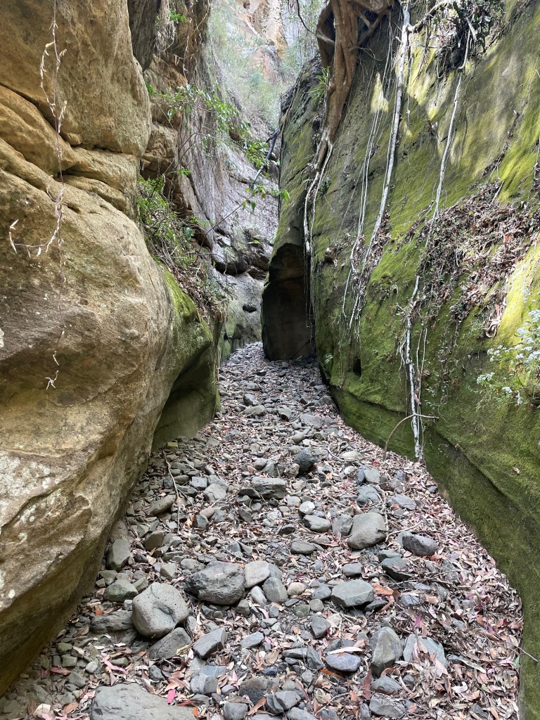
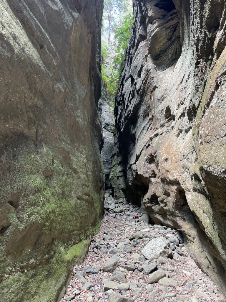
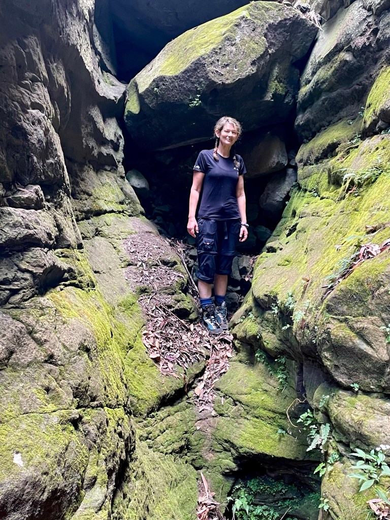
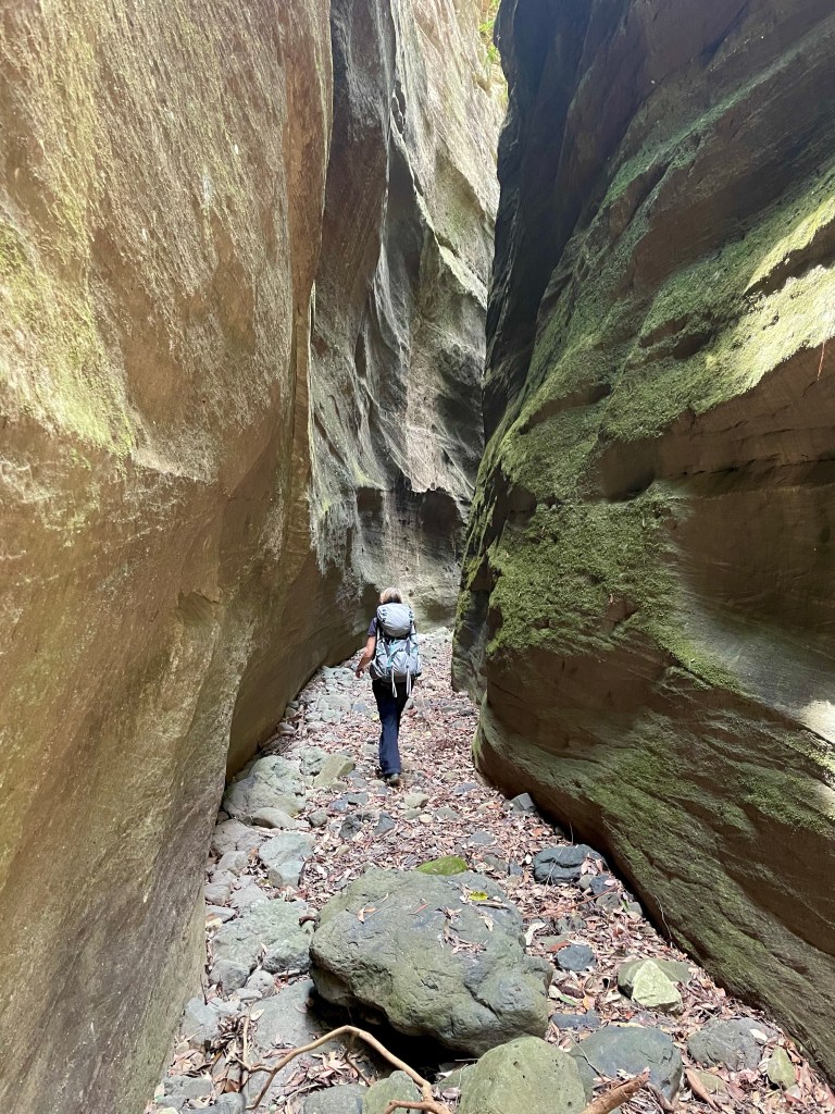
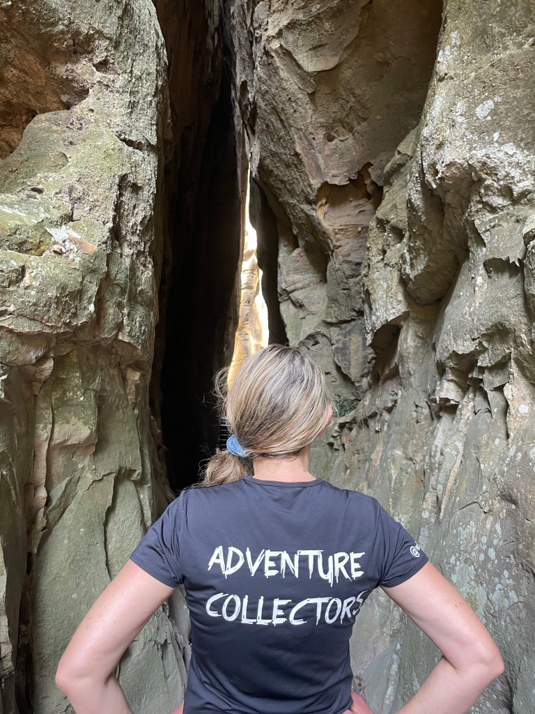
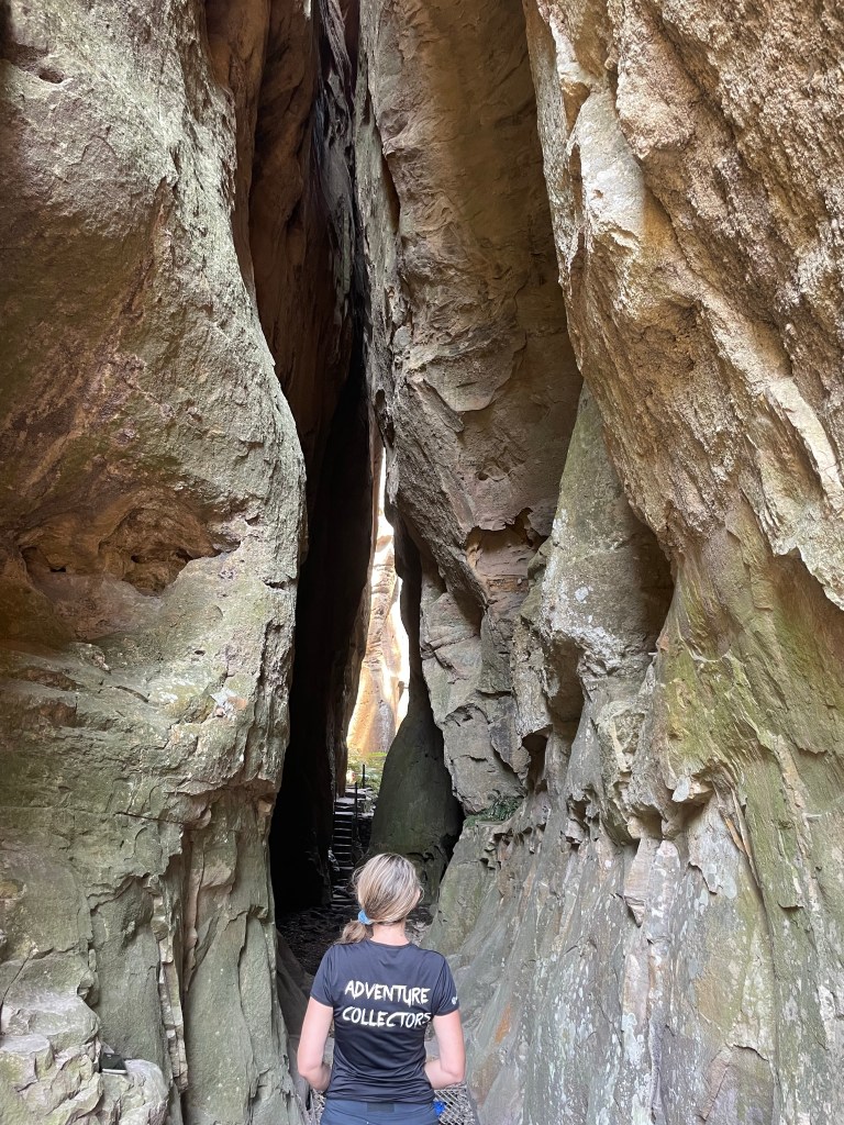
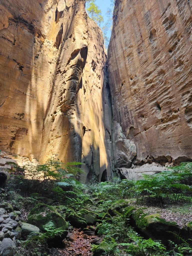
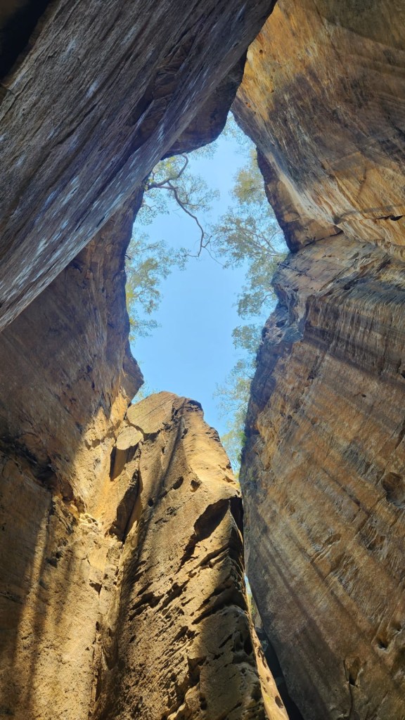
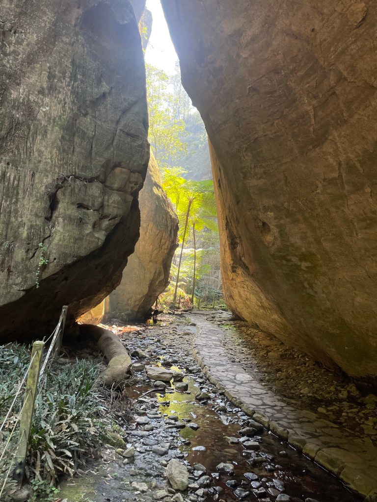
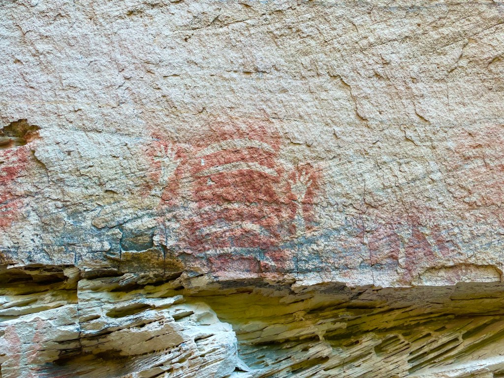
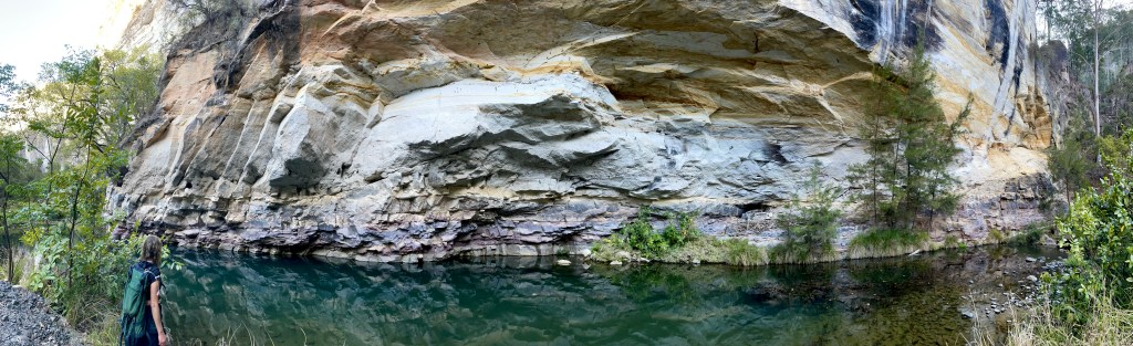
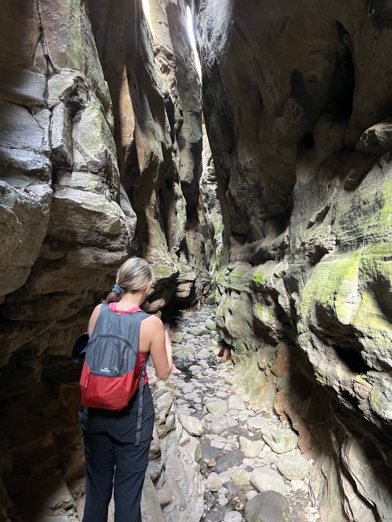
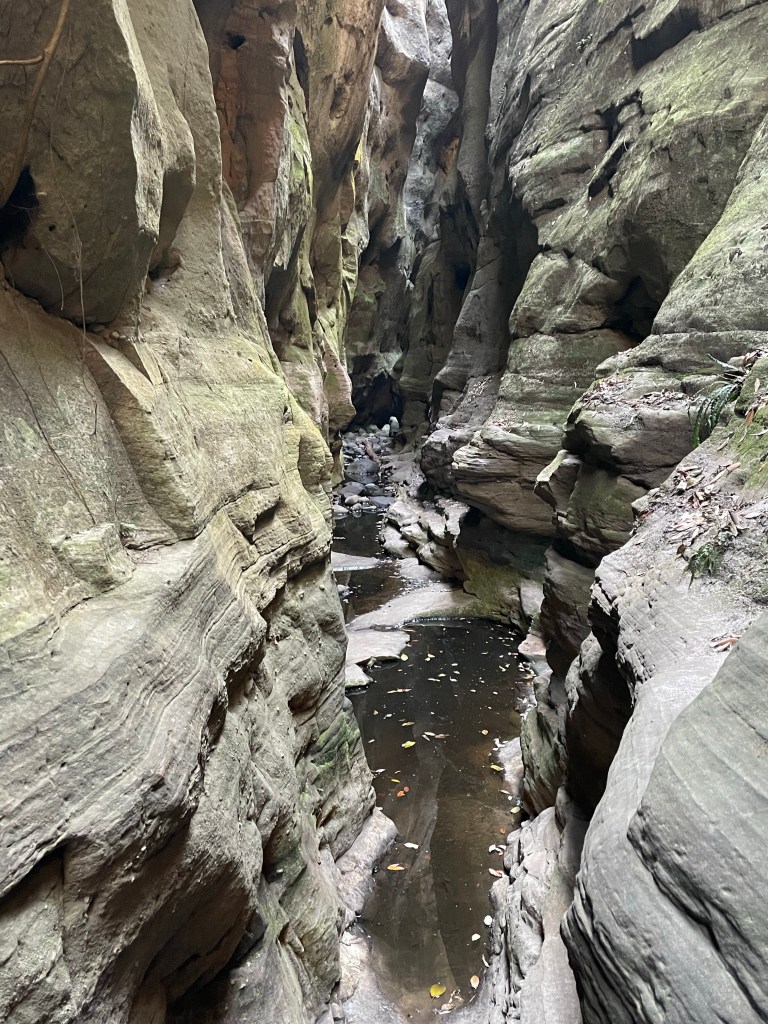
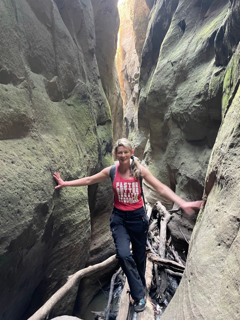
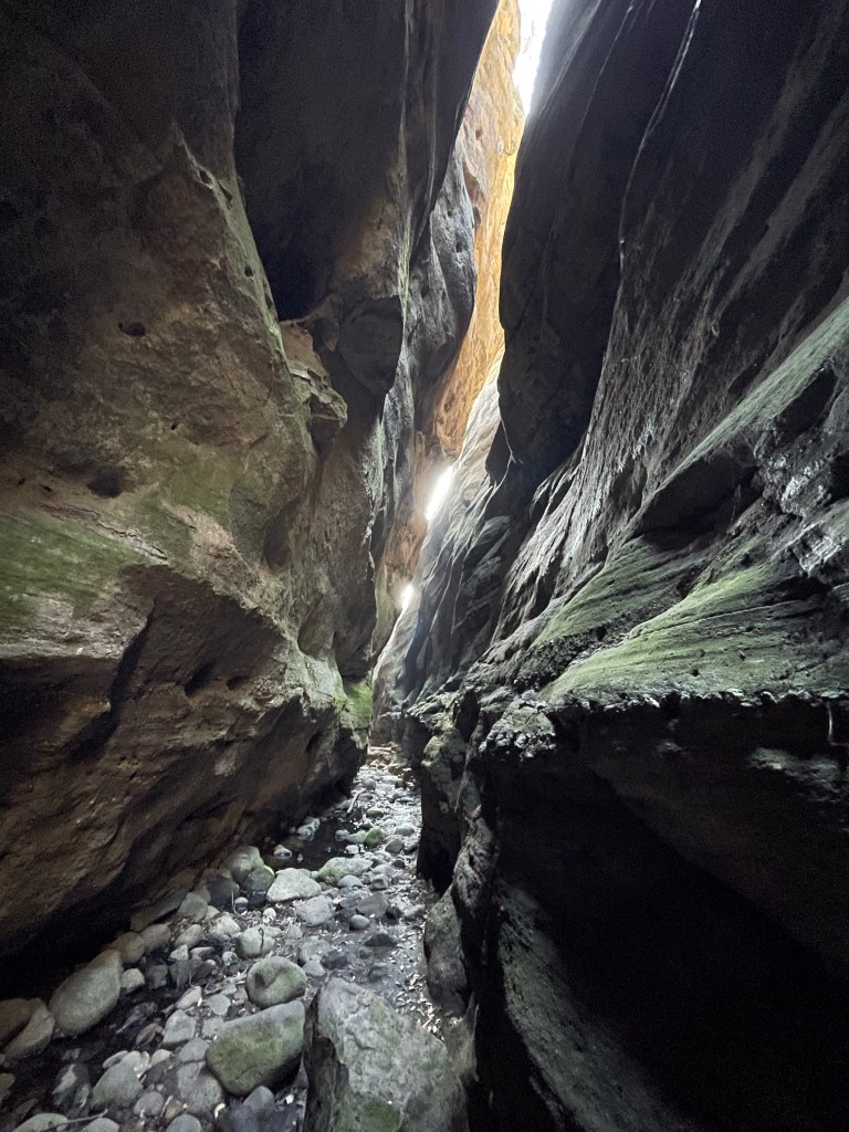
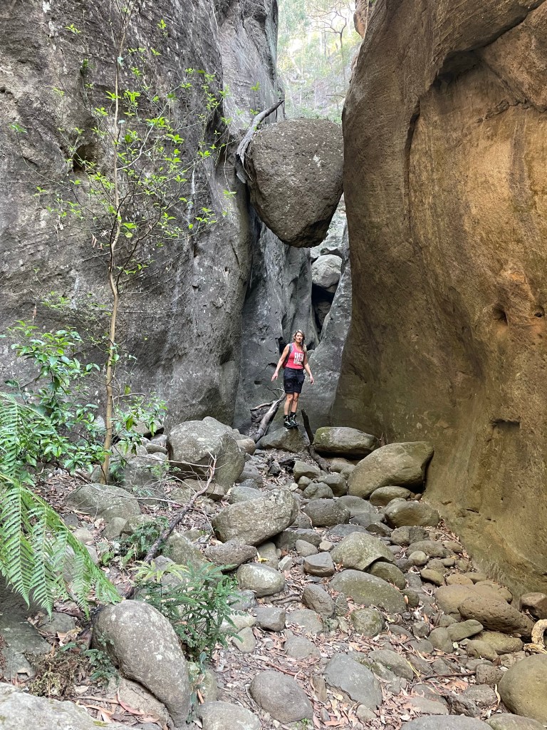
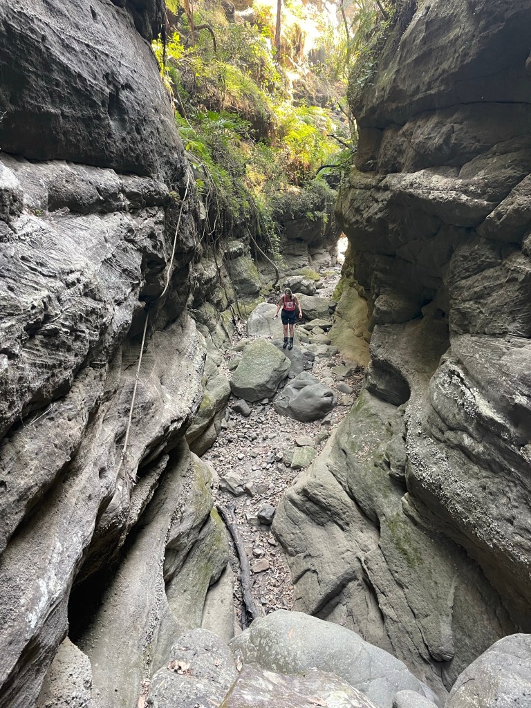
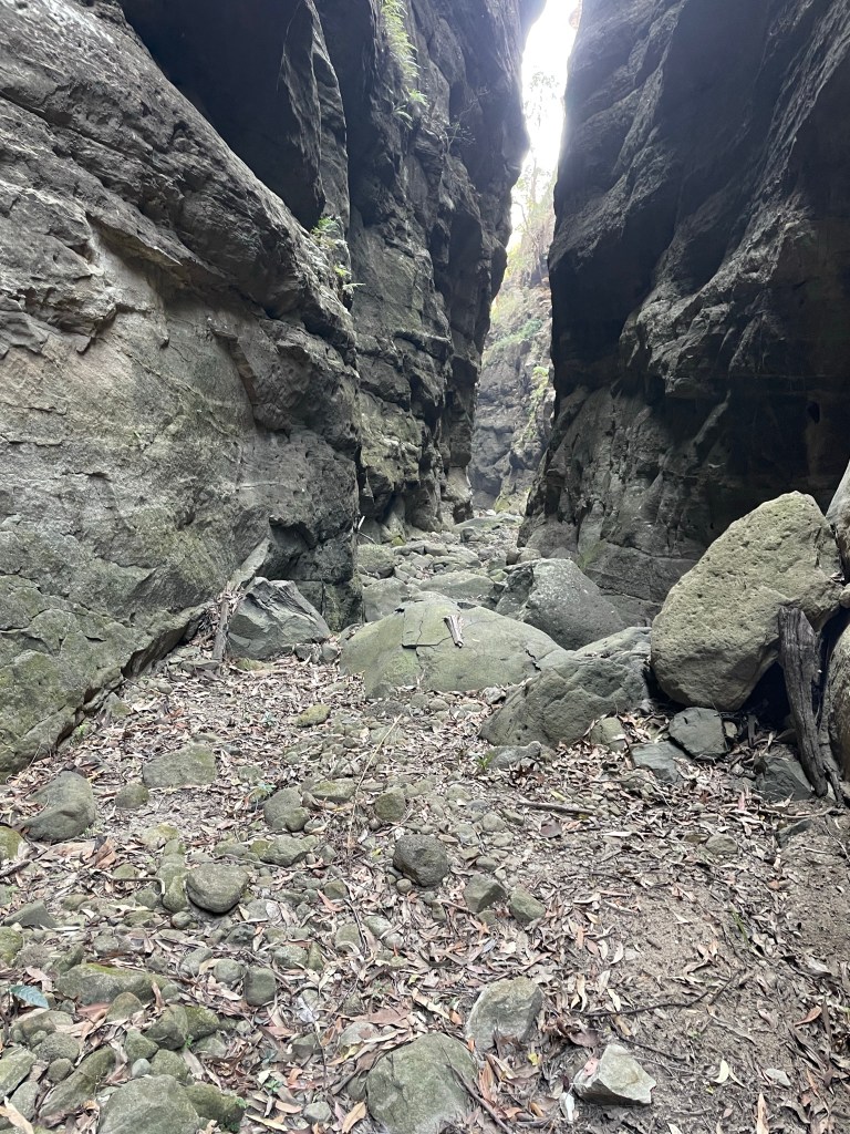
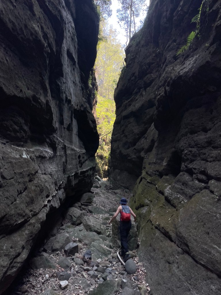
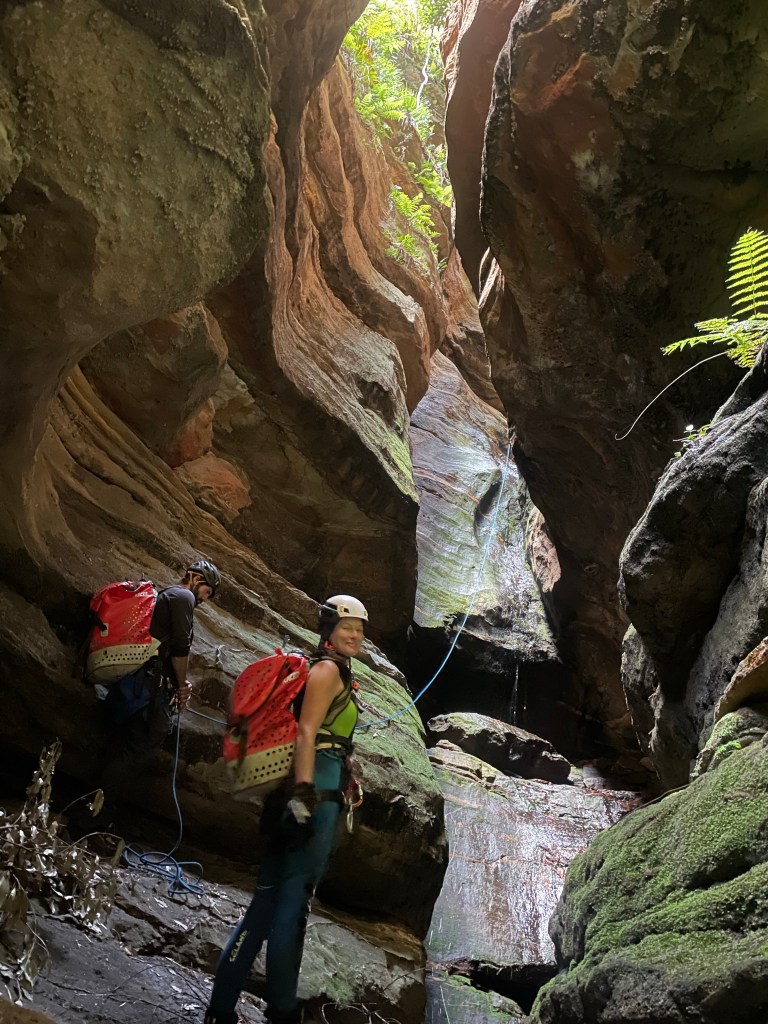
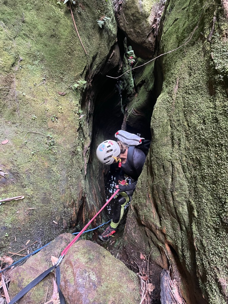
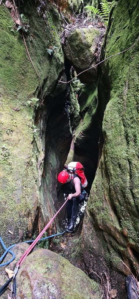
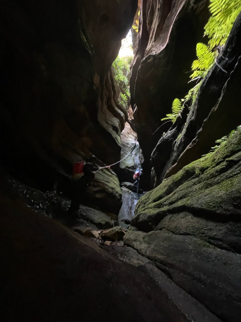
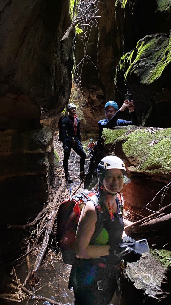
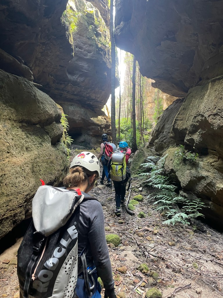
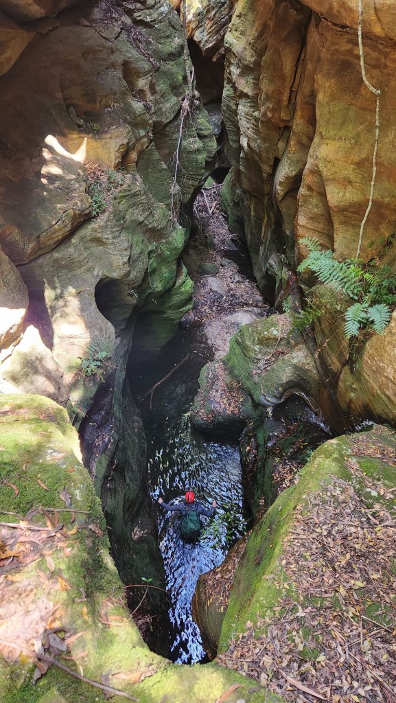
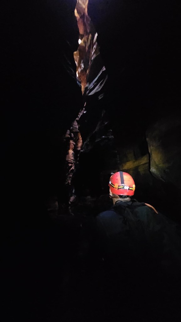
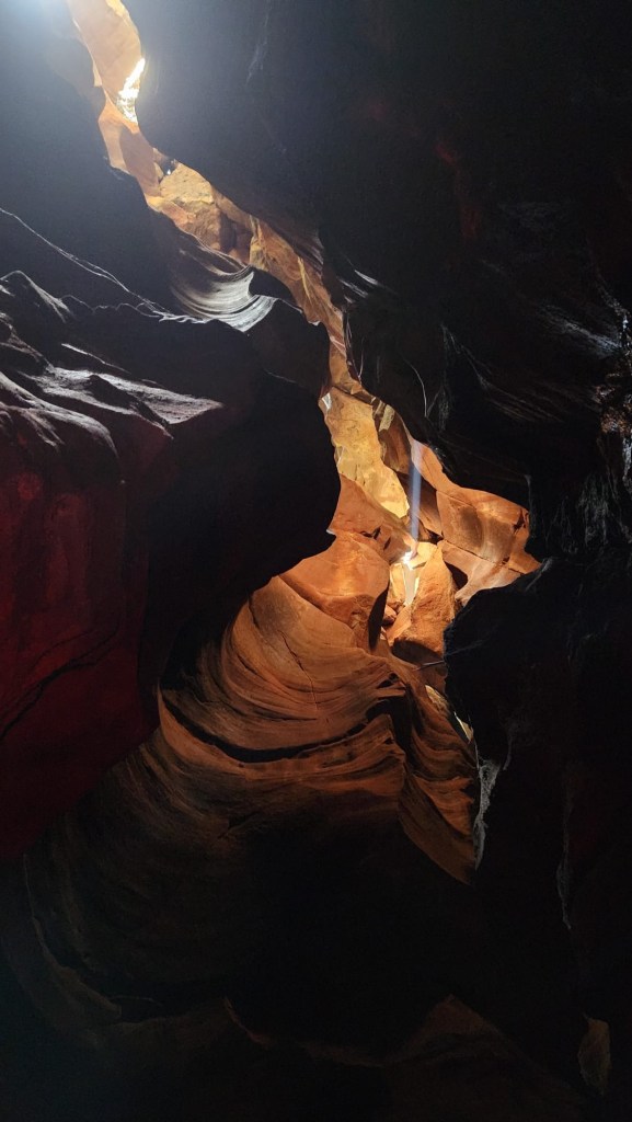
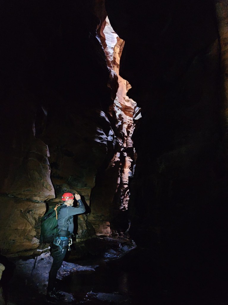
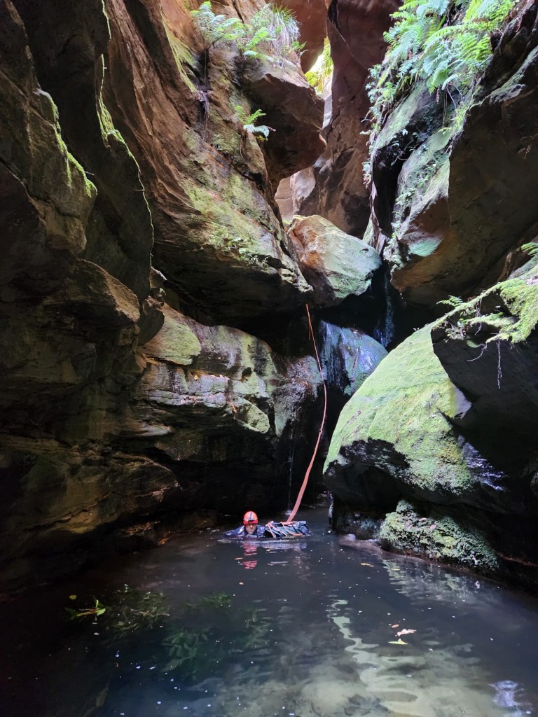
Anyhoo Crikey is deep and dark and our timing wasn’t conductive for photos but Kylie managed to get a few crackers

We reach the ‘Boori…. Bloody “dingo” creek.
We are bashed up and exhausted from battling the dead fall, sticks and scrub.
My memories of my previous trip to crikey was some hard going up the creek to get back to camp.
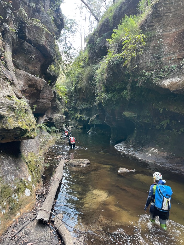
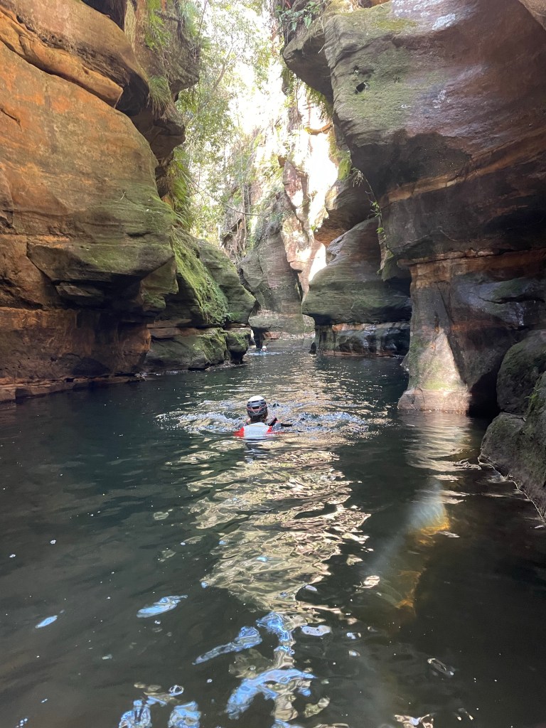
We have lunch and start making our way up stream
Somehow we pick our way up the banks and avoid strenuous swims or boulder hopping.
It’s about 4:30 when we reach the base of the pass up to camp. We strip out of the wetsuits, wash down in the creek and dry off in the sun before making our way back up.
Below camp we call out and are delighted to hear Dick reply.
Unfortunately Sunday morning dawns with me and Kylie having grumbling in our belly’s.
I’m careful where I collect water from and have never had issues before but that’s all we can put it down to.
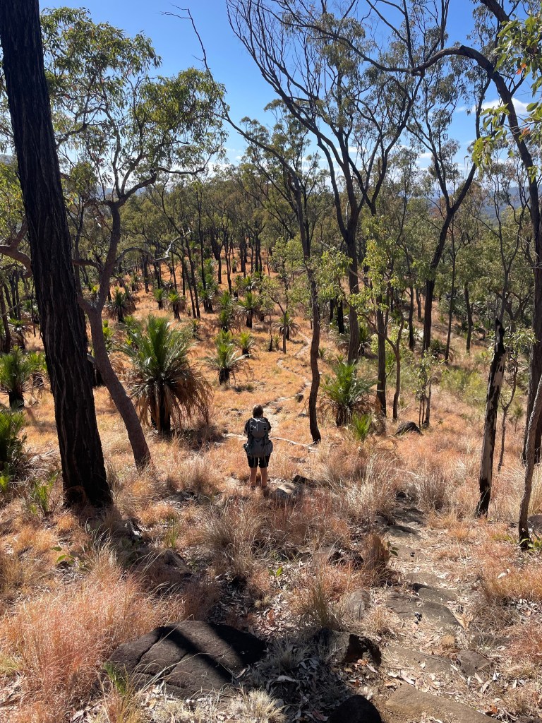
A bit of running off into the bush and we decide it’s best to skip canyoning today and head back to the cars.
It’s a shame for Dick and Monica to walk all the way out and miss the stunning canyons but it is the wisest choice.
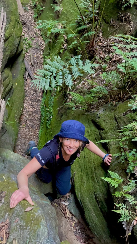
It was a tough walk out. Kylie did it real tough. She’s a trooper.
We have a tough next couple of days. It hit us hard.
Anyhoo
There is a hidden message in every waterfall. It says, if you are flexible, falling will not hurt you!”
― Mehmet Murat ildan